Chapel I of V
The Holy Land
Maps of Canaan, Palestine and the Twelve Tribes, and plans and views of Jerusalem, from Bünting's woodcut of about 1581 to Blaeu, Jansson, Sanson, De Wit, Homann and the Bible atlases of the 18th and 19th centuries. The strongest part of the collection and the one most collectors start with.
191 prints
The Holy Land · MDCCCXXVII
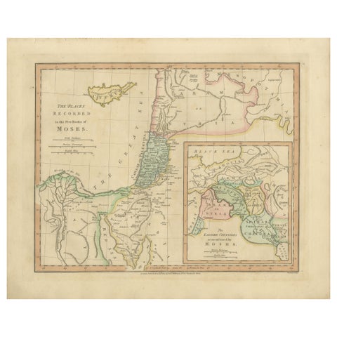
Places Recorded in the Five Books of Moses, Biblical Holy Land Map, 1827
1827 · 34.2 × 28 cm$365$25530% off
The Holy Land · MDCCCXXIII
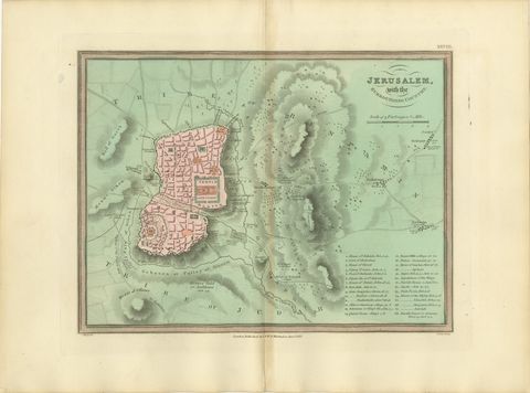
Antique Map of Jerusalem and the Surrounding Country, Wyld, 1823
1823 · 34 × 26 cm$355$27025% off
The Holy Land · MDCCCXXIII
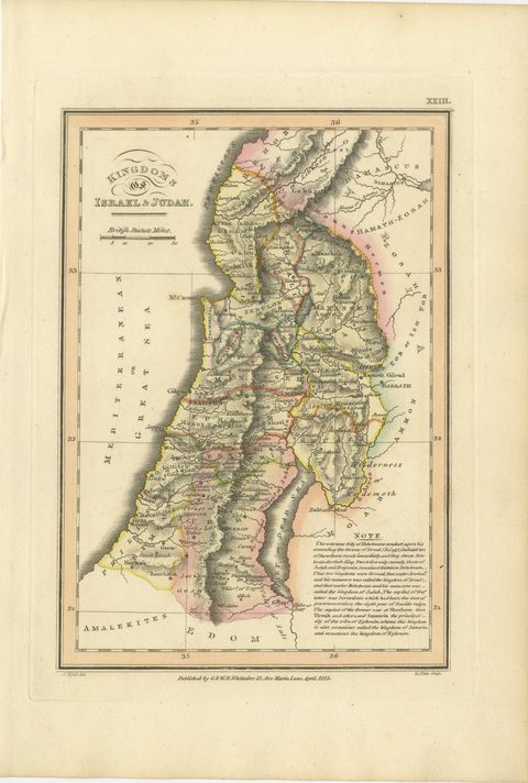
Antique Map of the Kingdoms of Israel and Judah, Hand-Colored, 1823
1823 · 17 × 26 cm$350$24530% off
The Holy Land · MDCCCXXIII
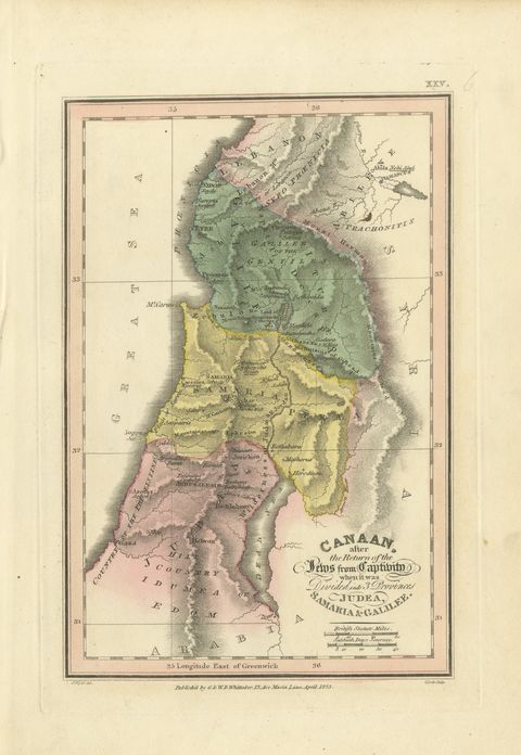
Judea, Samaria and Galilee After the Captivity, Antique Map, 1823
1823 · 17 × 26 cm$350$24530% off
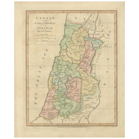
The Holy Land · MDCCCXXVII
The Land of Promise, Elegant Hand-Colored Biblical Map of Canaan, London 1827
1827 · 28 × 34.2 cm$350$24530% off
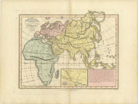
The Holy Land · MDCCCXXIII
Europe, Asia and Africa After the Flood, Antique Wyld Map, 1823
1823 · 34 × 26 cm$340$24030% off
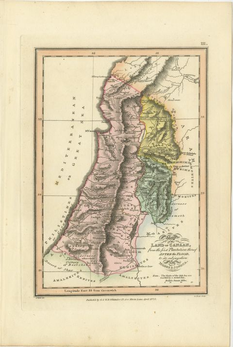
The Holy Land · MDCCCXXIII
Canaan from the Flood to Moses and Joshua, Antique Hand-Colored Map, 1823
1823 · 17 × 26 cm$340$24030% off
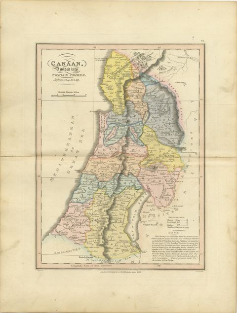
The Holy Land · MDCCCXXIII
Canaan Divided into the Twelve Tribes, Antique Hand-Colored Map, 1823
1823 · 26 × 34 cm$340$24030% off
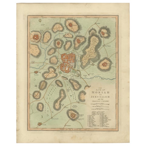
The Holy Land · MDCCCXIV
The Land of Moriah or Jerusalem & the Adjacent Country, Biblical City Map, 1814
1814 · 28 × 34.2 cm$340$24030% off
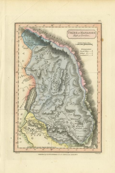
The Holy Land · MDCCCXXIII
Tribe of Manasseh East of Jordan, Antique Hand-Colored Map, 1823
1823 · 17 × 26 cm$330$23030% off
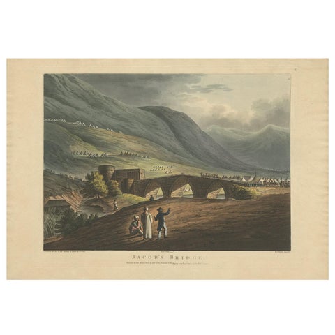
The Holy Land · MDCCCIII
Jacob’s Bridge, Aquatint View of Syria & Holy Land by Spilsbury, 1803
1803 · 49 × 34 cm$330$23030% off
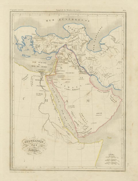
The Holy Land · MDCCCXX
Antique Map of the Biblical Lands, Arabia and Canaan, Malte-Brun c.1820
1820 · 28 × 38 cm$330$24525% off
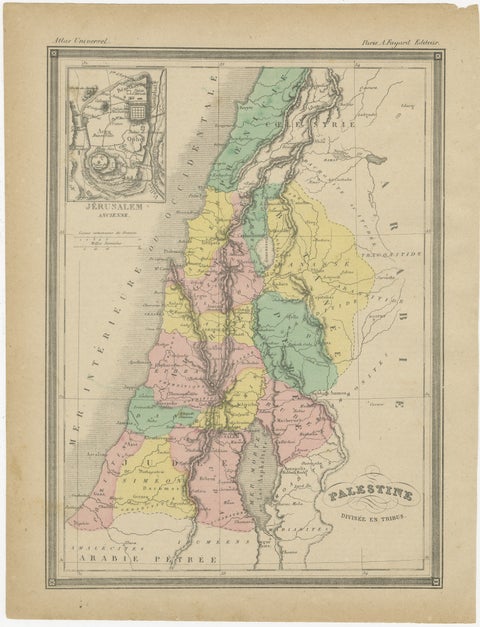
The Holy Land · MDCCCL
Palestine Divided into Tribes Map with Ancient Jerusalem, Paris, c.1850
1850 · 23.2 × 30.5 cm$330$24525% off
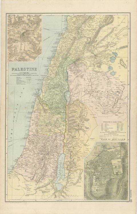
The Holy Land · MDCCCXCVIII
Antique Map of Palestine, with a Plan of Jerusalem, Bacon, 1898
1898 · 34 × 54 cm$325
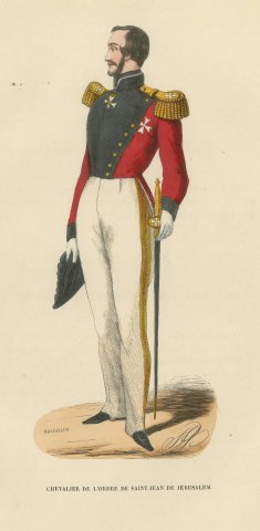
The Holy Land · MDCCCXLIV
Knight of Saint John of Jerusalem, Costume of the Order, Wood Engraving, 1844
1844 · 17 × 26 cm$325$24525% off
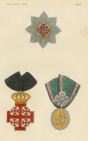
The Holy Land · MDCCCXLIV
Holy Land and Tunis, Jerusalem Cross and Tunisian Badge, Plate LXXXII, 1844
1844 · 17 × 26 cm$325$24525% off
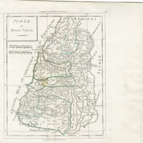
The Holy Land · MDCCC
Antique Map of Judaea or the Holy Land with the Twelve Tribes, circa 1800
circa 1800-1806 · 18 × 22 cm$325$24525% off
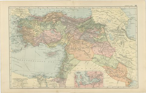
The Holy Land · MDCCCXCVIII
Antique Map of Turkey in Asia, Mesopotamia and the Holy Land, 1898
1898 · 54 × 34 cm$320
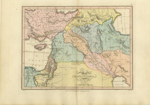
The Holy Land · MDCCCXXIII
Antique Scripture Map of Mesopotamia and the Adjacent Countries, 1823
1823 · 34 × 26 cm$320$22530% off
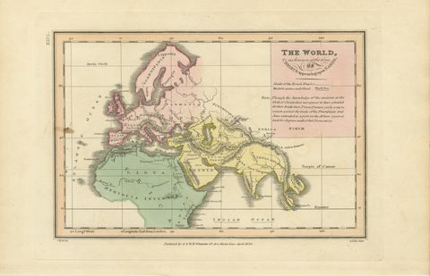
The Holy Land · MDCCCXXIII
The World at the Time of Christ, Antique Hand-Colored Map, 1823
1823 · 26 × 17 cm$320$22530% off
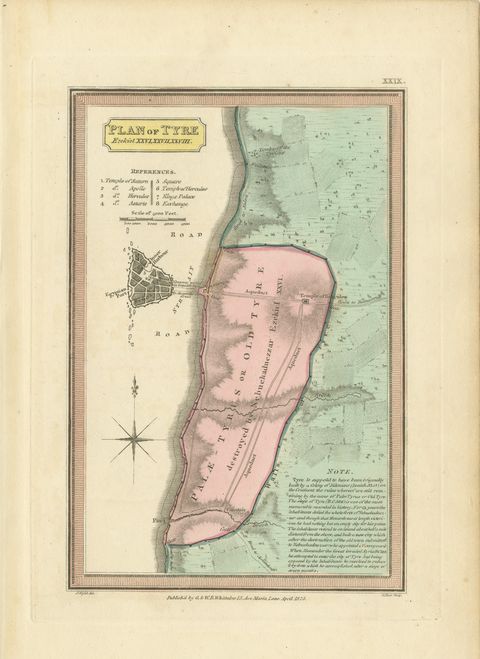
The Holy Land · MDCCCXXIII
Plan of Ancient Tyre from the Book of Ezekiel, Antique Map, 1823
1823 · 17 × 26 cm$320$22530% off
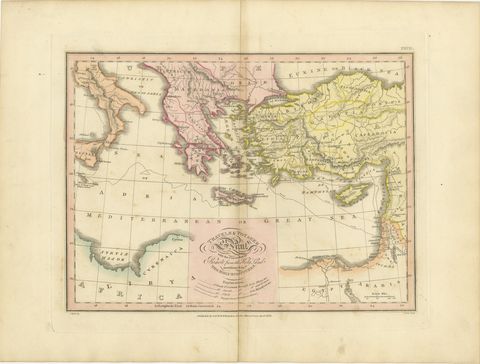
The Holy Land · MDCCCXXIII
The Travels and Voyages of Saint Paul, Antique Wyld Map, 1823
1823 · 34 × 26 cm$315$23525% off
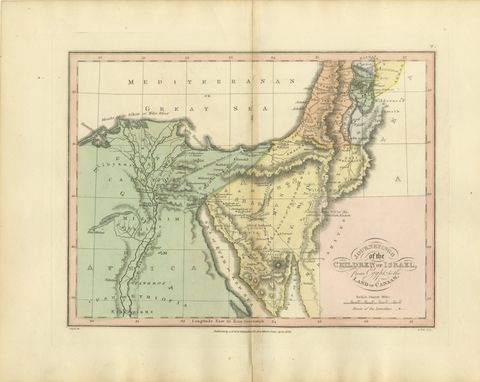
The Holy Land · MDCCCXXIII
The Exodus Route from Egypt to Canaan, Antique Wyld Map, 1823
1823 · 34 × 26 cm$315$23525% off
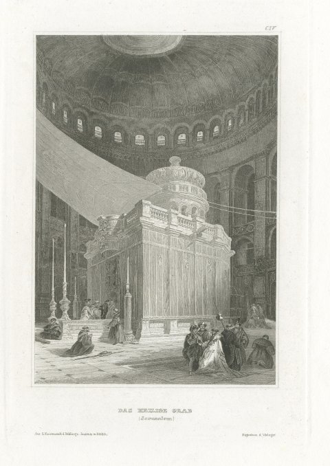
The Holy Land · MDCCCL
The Holy Sepulchre, Jerusalem, Antique Interior View of the Rotunda, circa 1850
circa 1850 · 18 × 24 cm$310$21530% off
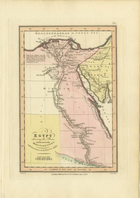
The Holy Land · MDCCCXXIII
Antique Map of Egypt and the Nile in the Holy Scriptures, Wyld, 1823
1823 · 17 × 26 cm$310$21530% off
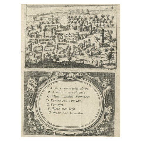
The Holy Land · MDCCXXX
Rare Map of Rama or Ramma 'Ramallah?' in Palestine or the Holy Land, ca.1730
1730 · 14.8 × 19 cm$310$21530% off
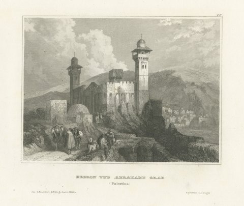
The Holy Land · MDCCCL
Hebron and the Tomb of Abraham, Antique View with Minarets, circa 1850
circa 1850 · 28 × 19 cm$300$22525% off
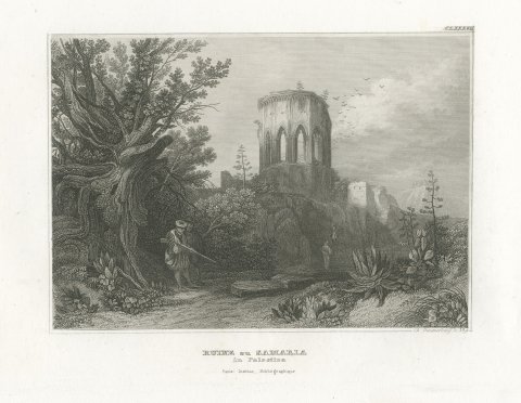
The Holy Land · MDCCCL
Ruins at Samaria, Palestine, Antique View with Hunter and Agaves, circa 1850
circa 1850 · 25 × 18 cm$300$22525% off
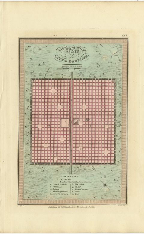
The Holy Land · MDCCCXXIII
Antique Plan of the City of Babylon, Hand-Colored, Wyld, 1823
1823 · 17 × 26 cm$300$22525% off
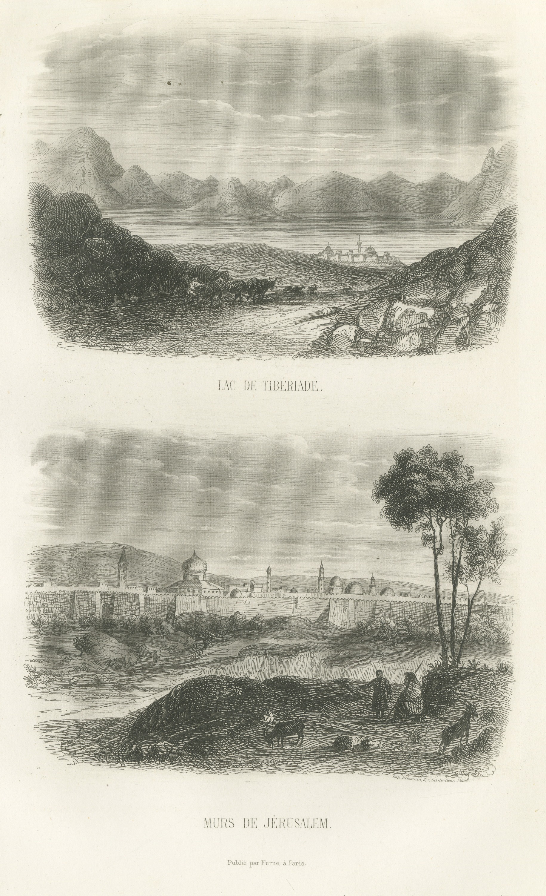
The Holy Land · MDCCCLIX
Sea of Galilee at Tiberias and Walls of Jerusalem, Antique Print, 1859
1859 · 16.5 × 26.5 cm$295$21030% off
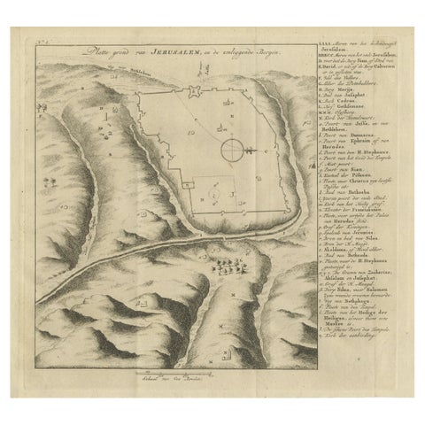
The Holy Land · MDCCLXXIII
Antique Engraving of a Map or Plan of Jerusalem and Surrounding Mountains, 1773
1773 · 26 × 36 cm$295$21030% off
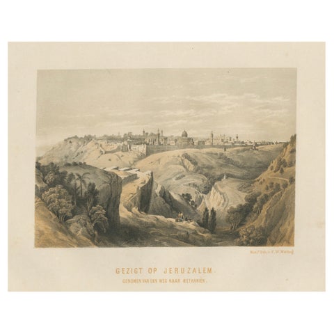
The Holy Land · MDCCCLXII
19th-Century Chromolithograph of Jerusalem, View from the Road to Bethany, 1862
1862 · 30.6 × 23 cm$295$21030% off
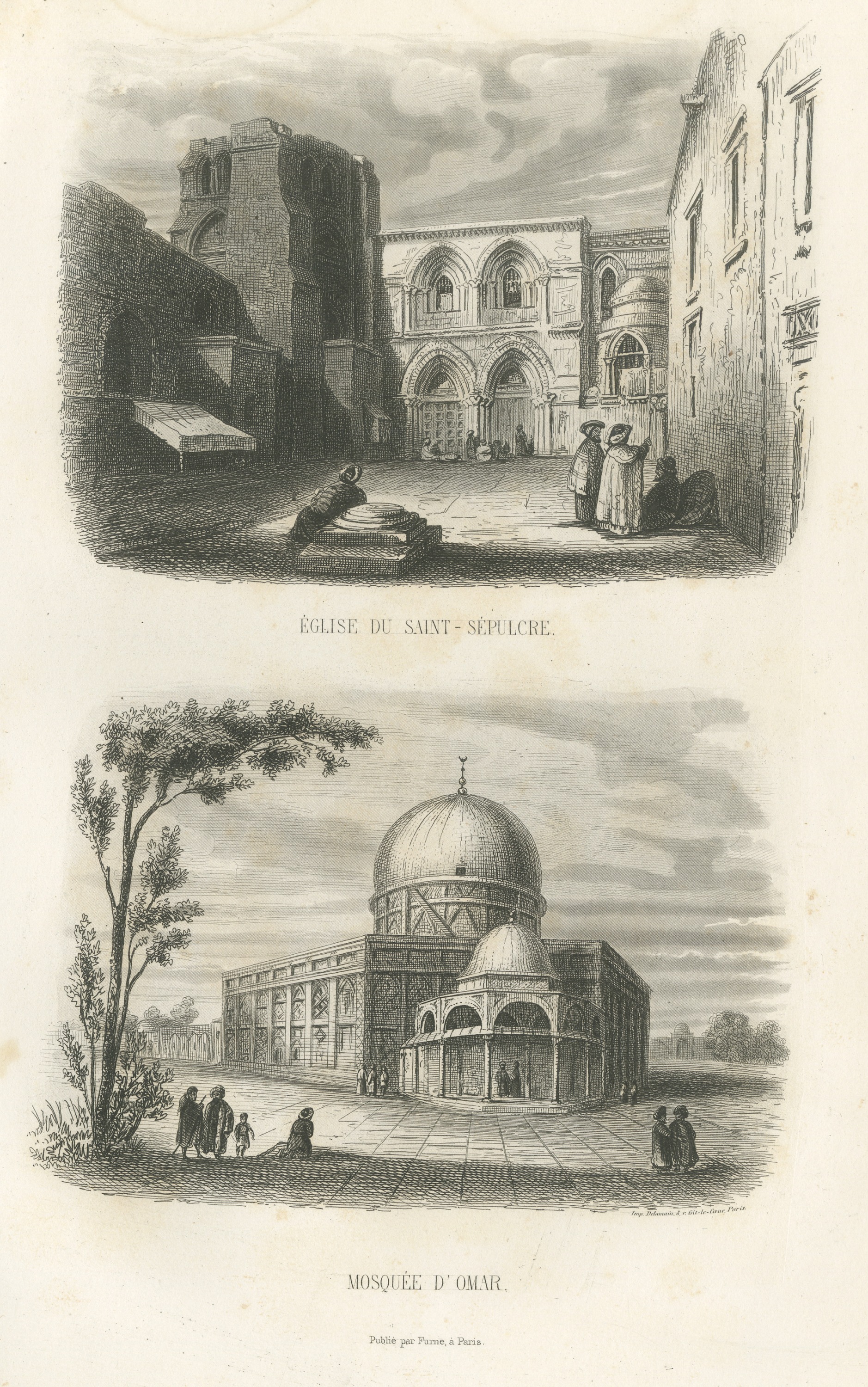
The Holy Land · MDCCCLIX
Holy Sepulchre Church and Dome of the Rock, Jerusalem, Antique Print, 1859
1859 · 16.5 × 26.5 cm$285$20030% off
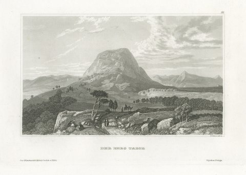
The Holy Land · MDCCCL
Antique Steel Engraved View of Mount Tabor, Holy Land, circa 1850
circa 1850 · 27.5 × 19 cm$285$20030% off
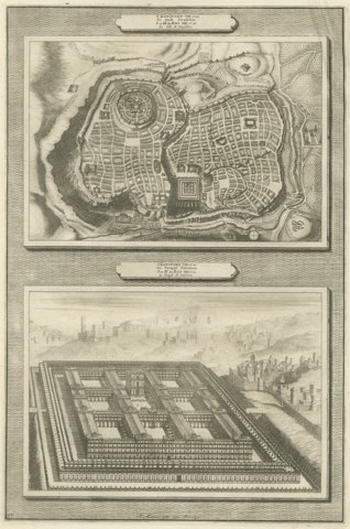
The Holy Land · MDCC
Plan of Jerusalem and Bird's Eye View of Solomon's Temple, Mortier, circa 1700
circa 1700 · 28 × 45 cm$285$20030% off
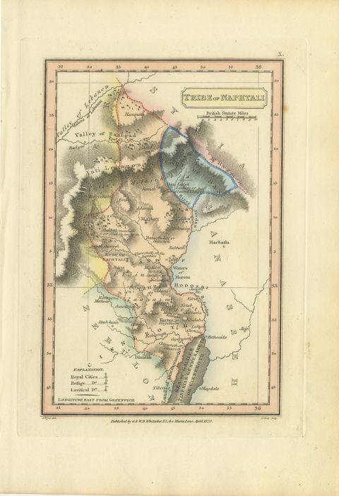
The Holy Land · MDCCCXXIII
Antique Map of the Tribe of Naphtali, Wyld Scripture Atlas, 1823
1823 · 17 × 26 cm$285$20030% off
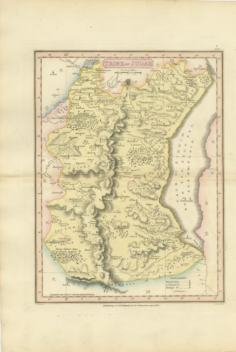
The Holy Land · MDCCCXXIII
Antique Hand-Colored Map of the Tribe of Judah and the Dead Sea, 1823
1823 · 26 × 34 cm$285$20030% off
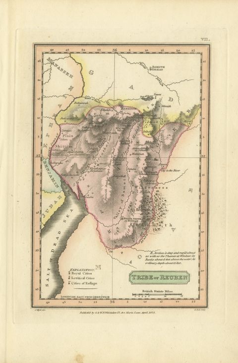
The Holy Land · MDCCCXXIII
Hand-Colored Antique Map of the Tribe of Reuben, James Wyld, 1823
1823 · 17 × 26 cm$285$20030% off
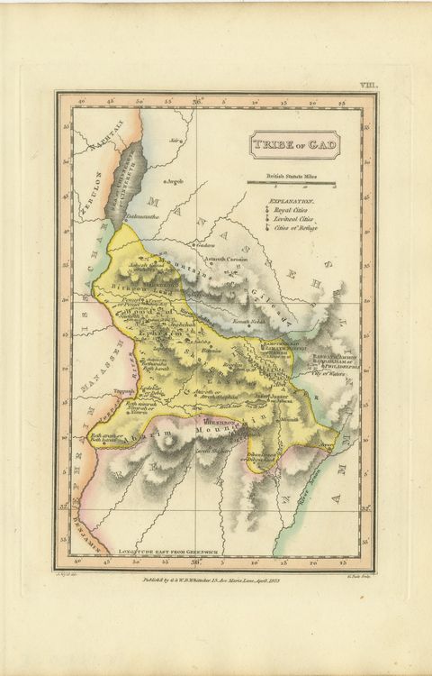
The Holy Land · MDCCCXXIII
Antique Scripture Map of the Tribe of Gad, Hand-Colored, Wyld, 1823
1823 · 17 × 26 cm$285$20030% off
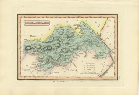
The Holy Land · MDCCCXXIII
Tribe of Benjamin with Jericho and Bethel, Antique Wyld Map, 1823
1823 · 26 × 17 cm$275$19030% off
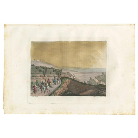
The Holy Land · MDCCCXXXI
Old Handcolored Print of Ruins Between Rama and Jerusalem by Ferrario, '1831'
1831 · 34 × 23.5 cm$275$19030% off
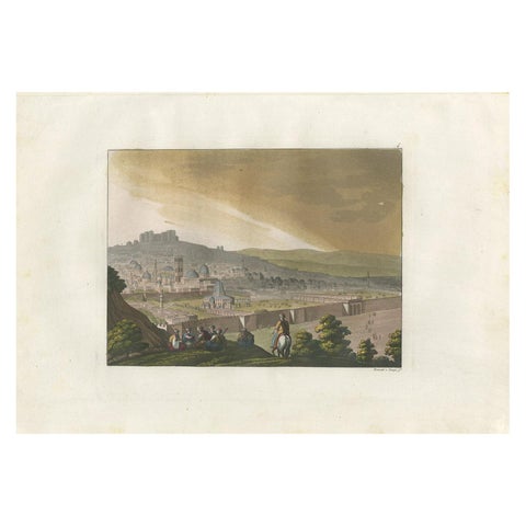
The Holy Land · MDCCCXXXI
Antique Print of Jerusalem from the Mount of Olives by Ferrario '1831'
1831 · 34 × 23.5 cm$275$19030% off
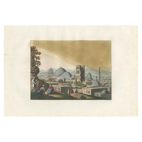
The Holy Land · MDCCCXXXI
Antique Print of Jerusalem and Church of the Holy Sepulchre by Ferrario '1831'
1831 · 34 × 23.5 cm$275$19030% off
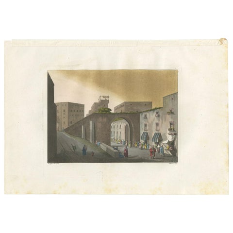
The Holy Land · MDCCCXXXI
Antique Print of the Entrance to the Bazaar of Jerusalem by Ferrario '1831'
1831 · 34 × 23.5 cm$275$19030% off
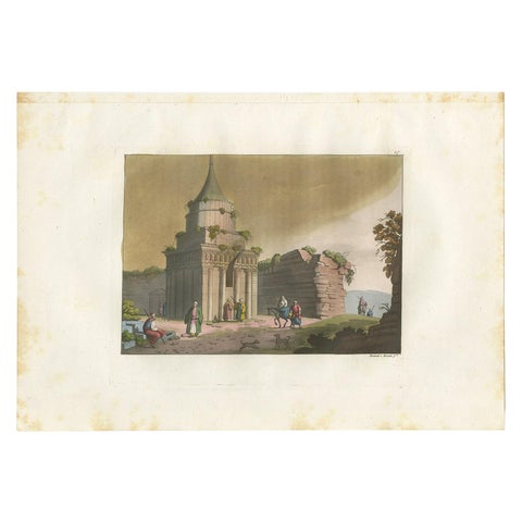
The Holy Land · MDCCCXXXI
Antique Print of the Tomb of Absalom in Jerusalem, '1831'
1831 · 34 × 23.5 cm$275$19030% off
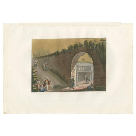
The Holy Land · MDCCCXXXI
Antique Print of the Entrance to the Tomb of Absalom in Jerusalem, '1831'
1831 · 34 × 23.5 cm$275$19030% off
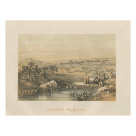
The Holy Land · MDCCCLXII
Chromolithograph of the Surroundings of Jerusalem, Biblical Landscape, ca.1862
1862 · 30.6 × 23 cm$275$19030% off
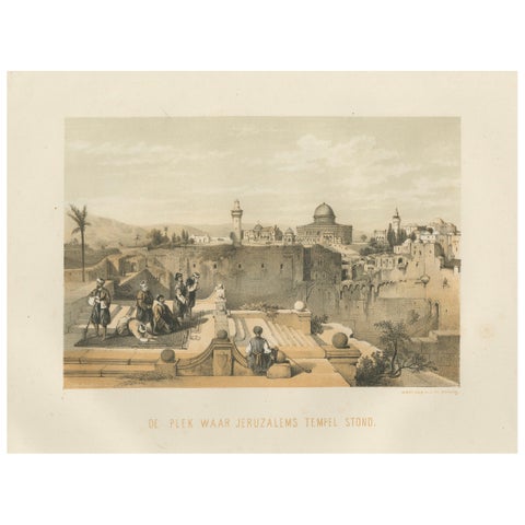
The Holy Land · MDCCCLXII
Chromolithograph of the Temple Mount in Jerusalem, Historical View of 1862
1862 · 30.6 × 23 cm$275$19030% off