Close-ups
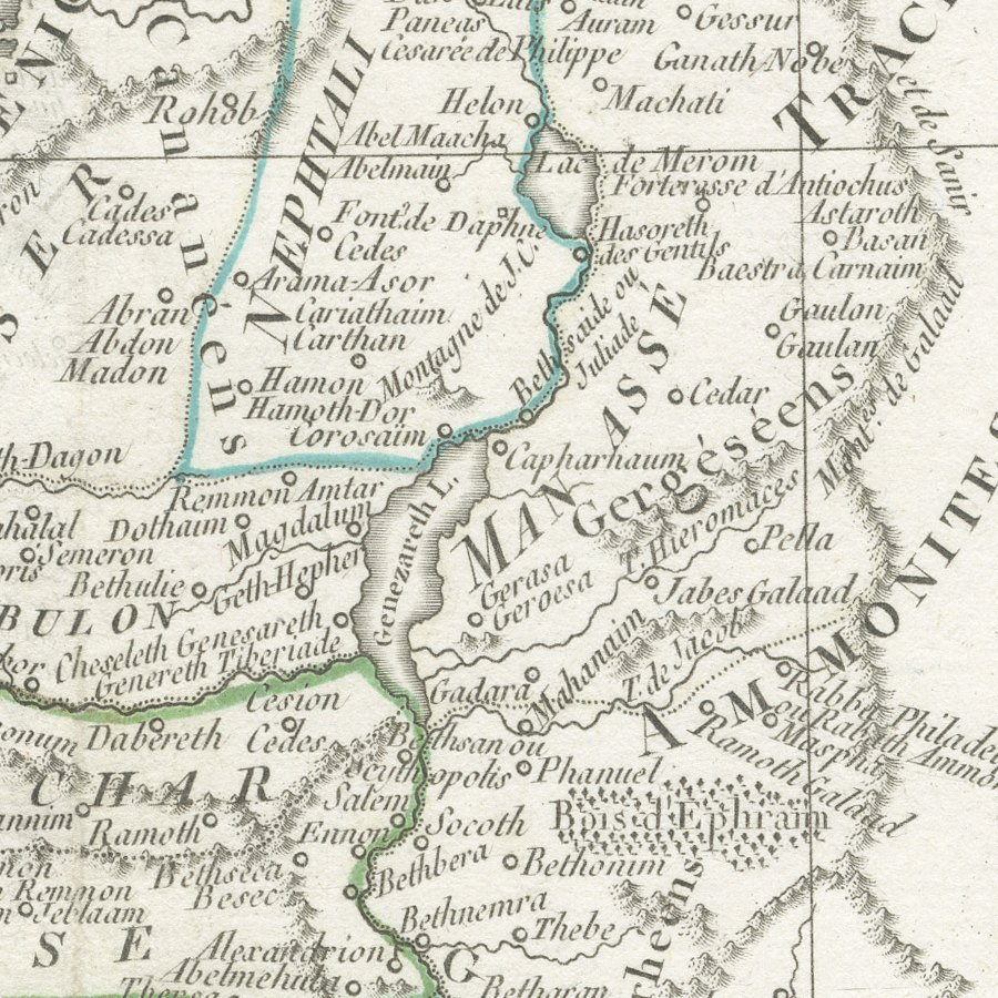
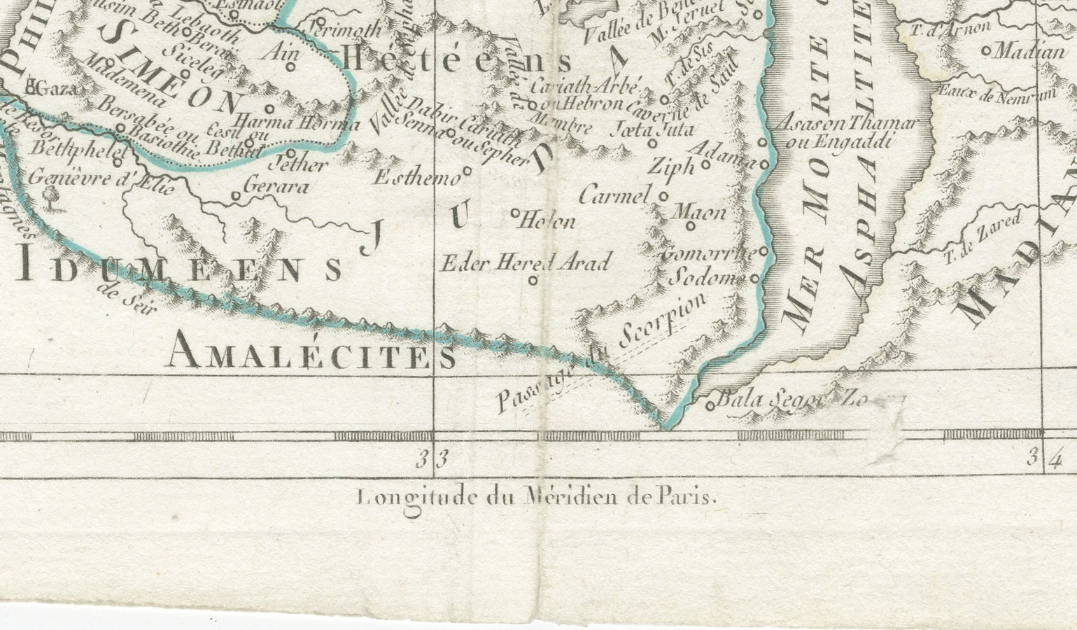
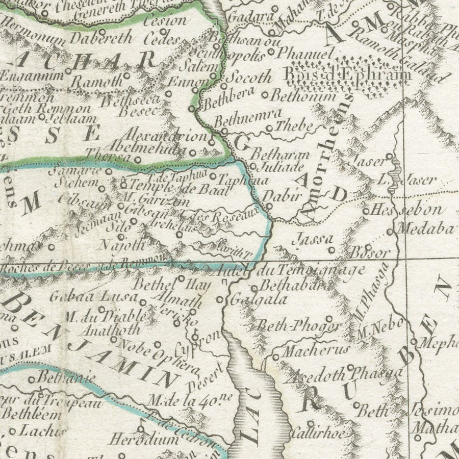
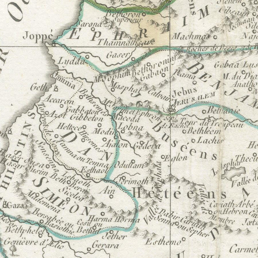
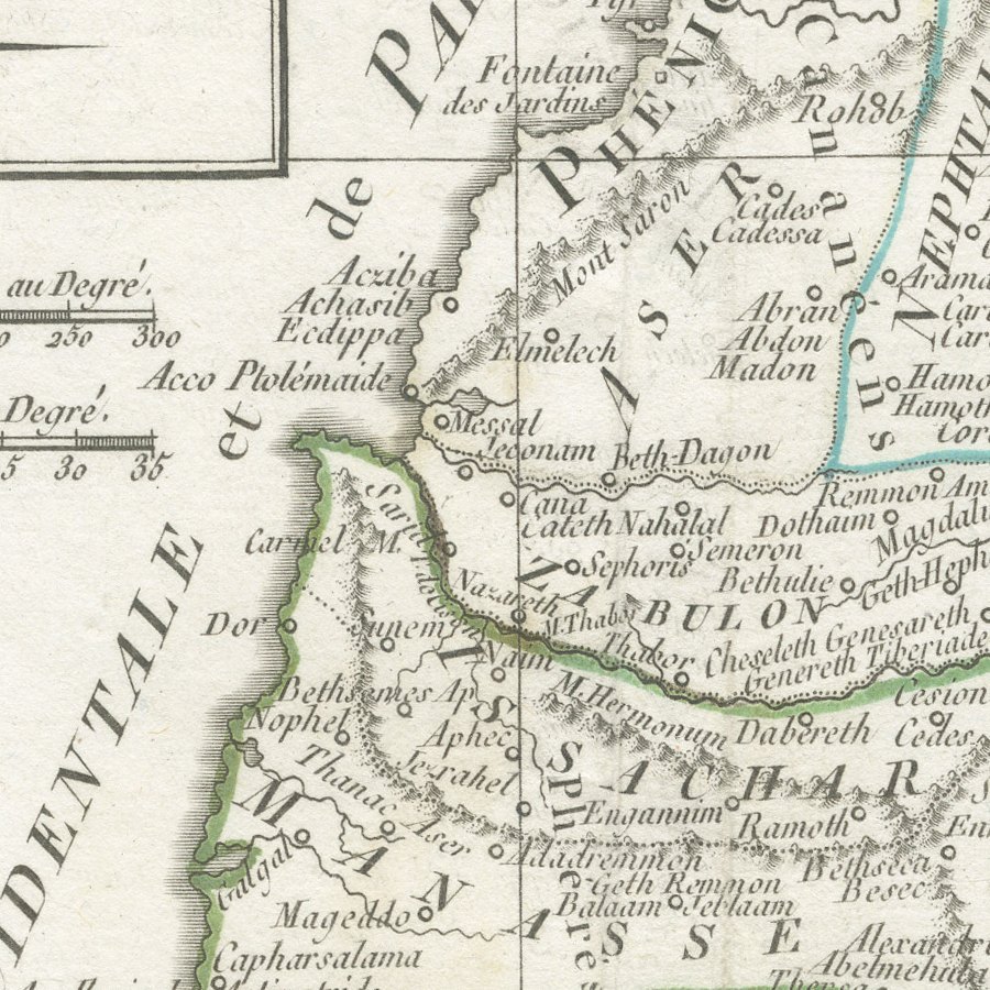
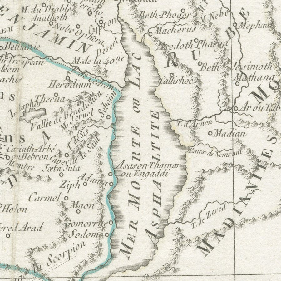
Framed and on the wall
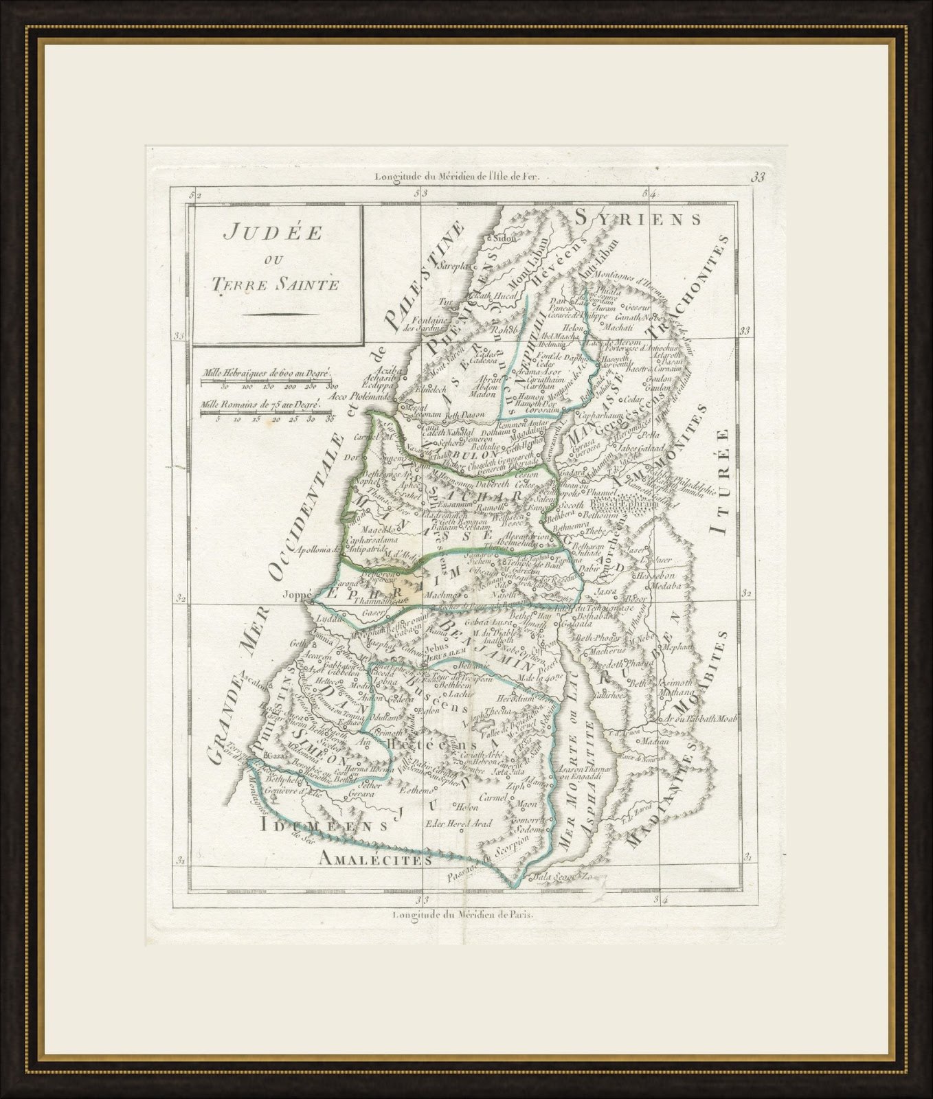
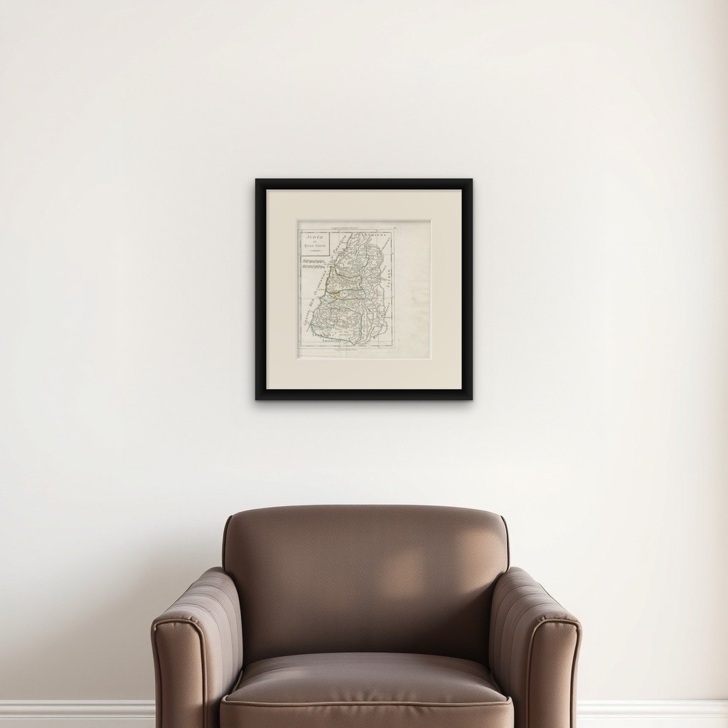

Frame and rooms are illustrations of how the print could look, drawn to its real size; it is sold unframed unless the description says otherwise.
The Holy Land
Antique Map of Judaea or the Holy Land with the Twelve Tribes, circa 1800
Anno Domini MDCCCcirca 1800-1806
$330
€295 · £250
Original print, not a reproduction
Ships worldwide from the Netherlands, flat, insured and tracked. 14-day returns. To buy, use Ask a question (info@antiquesacredprints.com) and we will reserve it for you.
- Date
- circa 1800-1806
- Technique
- Copper Engraving
- Condition
- Good. Good condition for its age. Vertical centre fold, with a small brown mark in the image near the fold. Light soiling, rough lower edge and a softened lower right corner. Please review the images for further condition details.
- Faith
- Christianity, Judaism
- Collection
- The Holy Land
- Era
- 1800 to 1849, Travellers and the costume books
- Stock no.
- BG-14279-21
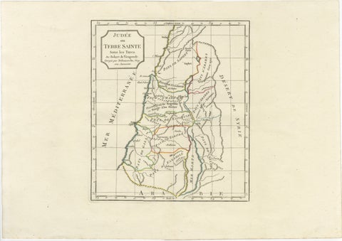
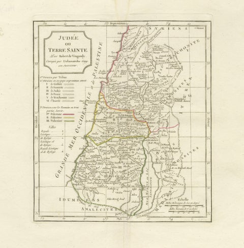
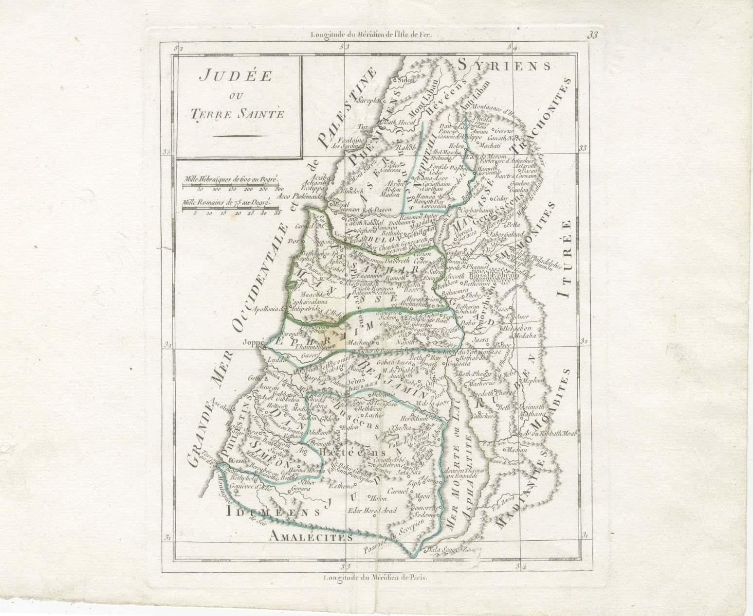
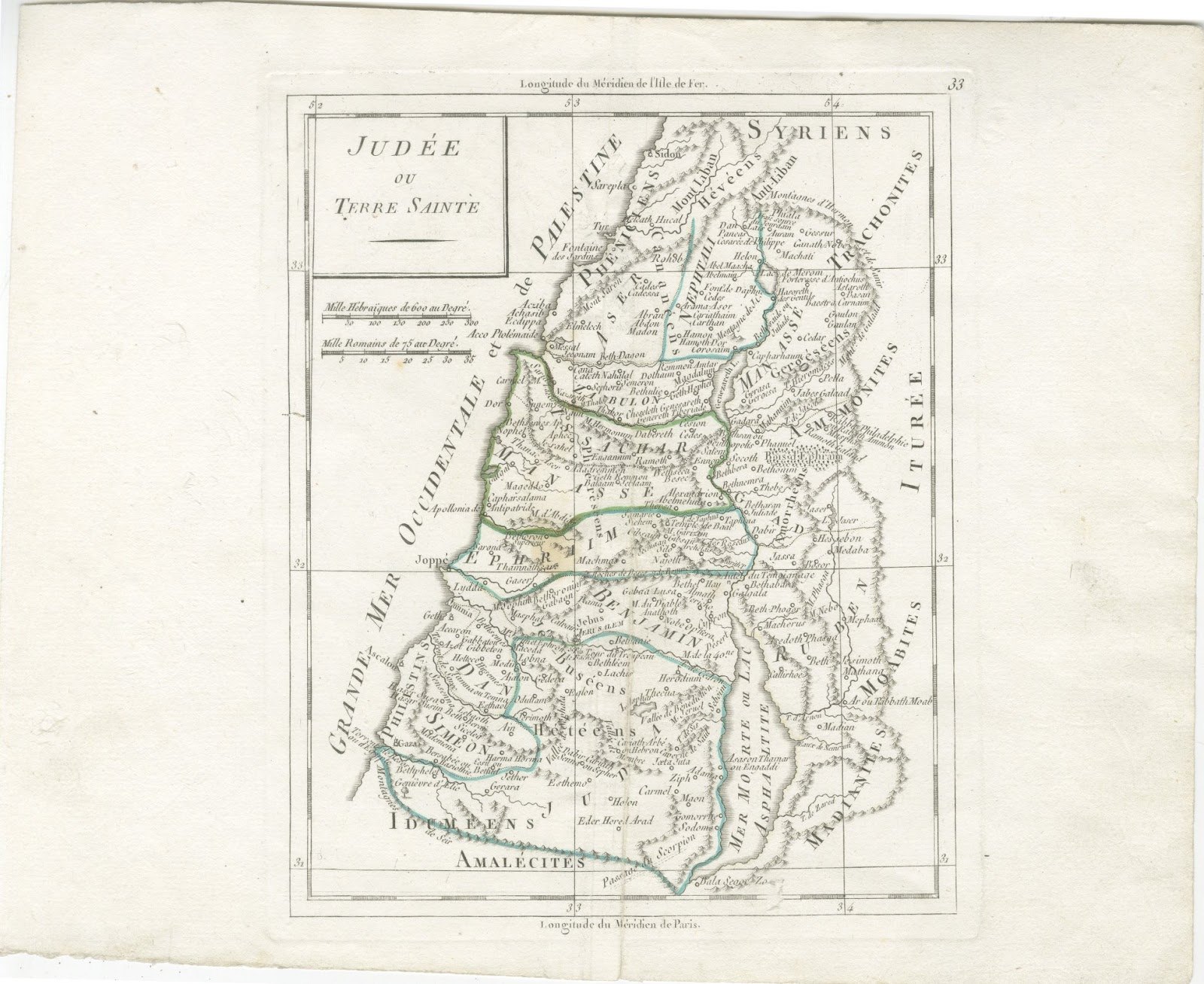
This antique map of the Holy Land is titled Judée ou Terre Sainte and is believed to come from a French portable atlas of around 1800 in the tradition of Robert de Vaugondy, as continued by Charles François Delamarche in Paris. It is numbered 33 in the upper right corner.
The map shows the land divided among the tribes of Israel, with Aser, Nephtali, Zabulon, Issachar, Manassé, Ephraim, Benjamin, Juda, Simeon, Dan, Ruben and Gad named, and the peoples around them including the Philistins, Iduméens, Amalécites, Moabites and Ammonites. Jerusalem, Bethléem, Jéricho, Hébron and Joppé are marked, and the Mer Morte ou Lac Asphaltite lies to the east.
Two scales are given, in Hebrew miles of 600 to the degree and in Roman miles of 75 to the degree, and longitudes are shown from both the Isle de Fer and Paris, a convention of French maps of this period. Tribal boundaries are picked out by hand in green and blue, and the sheet has generous margins.
This clear and elegant map will appeal to collectors of biblical geography and of the Holy Land, and it frames beautifully in a study, library or place of worship. Beyond its decorative appeal, a map of this kind records the place names, routes and political divisions known to travellers, merchants and scholars of its day, which gives it lasting value as a historical document.
The sheet is in good condition for its age, with a vertical centre fold and a small brown mark near it; the margins show light soiling and a rough lower edge.
This is an original antique map, not a modern reproduction. This item is sold unframed. Any framed or interior images are shown for presentation and inspiration only, unless the listing explicitly states that the item is sold framed.