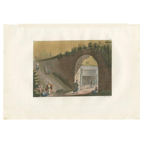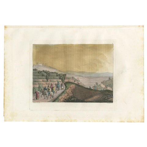
Close-ups
Framed and on the wall


Frame and rooms are illustrations of how the print could look, drawn to its real size; it is sold unframed unless the description says otherwise.
The Holy Land
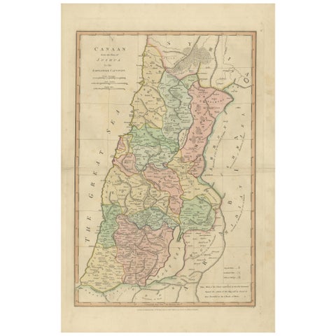
The Land of Promise, Elegant Hand-Colored Biblical Map of Canaan, London 1827
Anno Domini MDCCCXXVII1827
£270
$360 · €320
Original print, not a reproduction
Ships worldwide from the Netherlands, flat, insured and tracked. 14-day returns. To buy, use Ask a question (info@antiquesacredprints.com) and we will reserve it for you.
- Date
- 1827
- Sheet size
- 13.5 × 11 in (34.2 × 28 cm)
- Condition
- Good. Condition report: Good overall condition for age. Light age toning and scattered foxing consistent with early nineteenth-century paper. Minor edge wear from atlas removal. Original hand color remains fresh and attractive.
- Faith
- Christianity, Judaism
- Collection
- The Holy Land
- Era
- 1800 to 1849, Travellers and the costume books
- Stock no.
- f_48747022
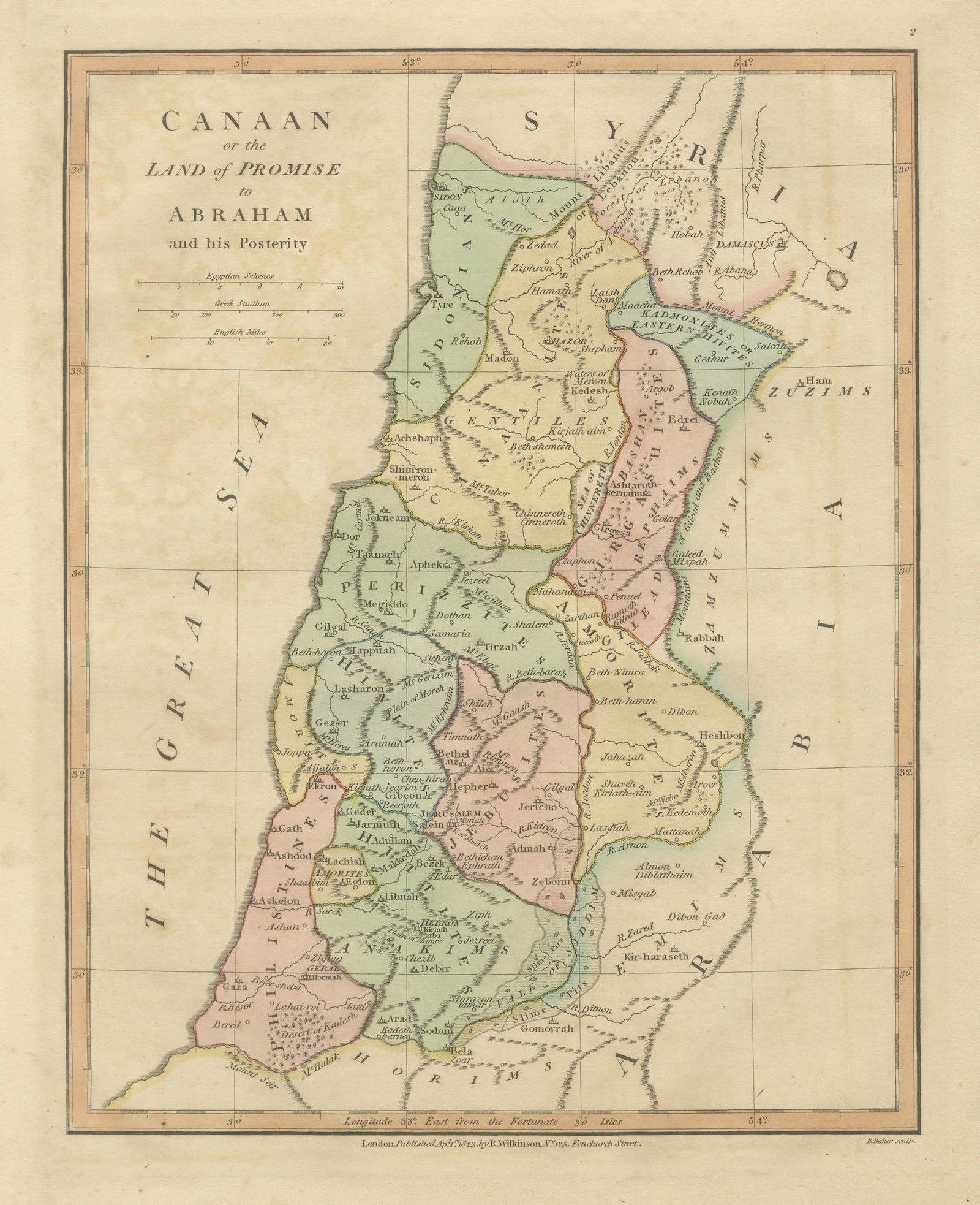
The Land of Promise, Elegant Hand-Colored Biblical Map of Canaan, London 1827
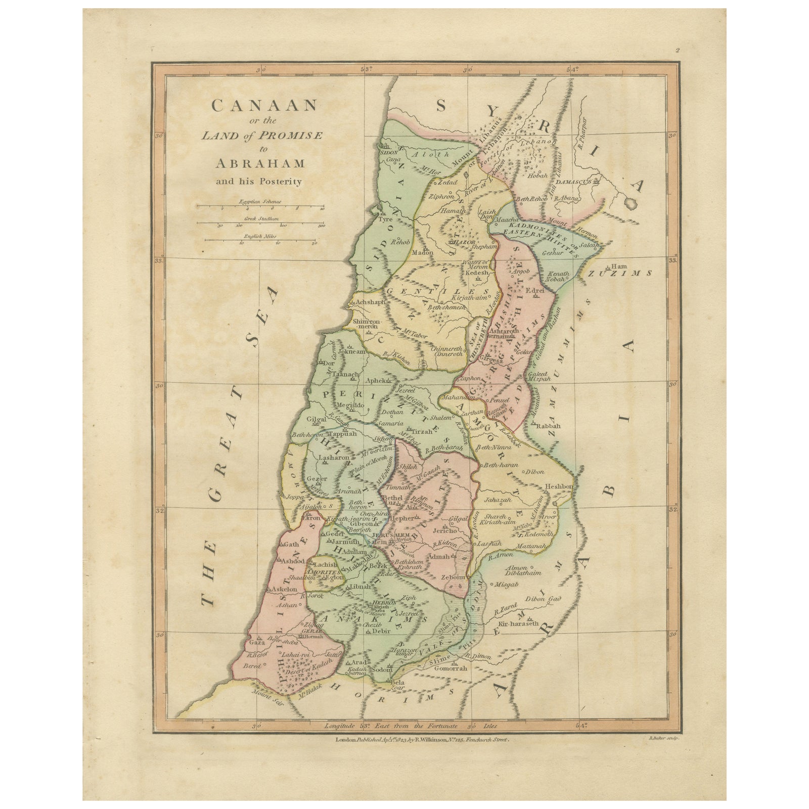
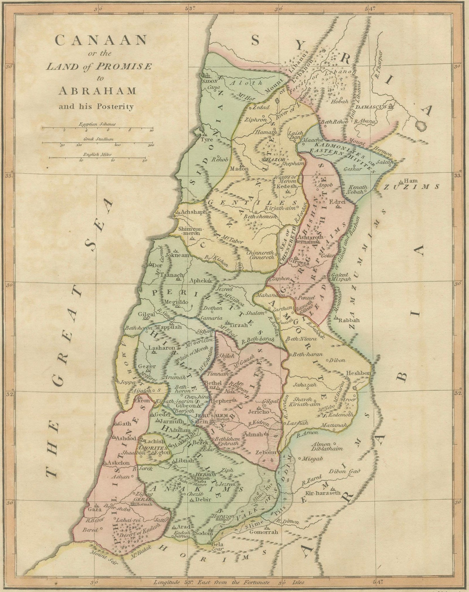
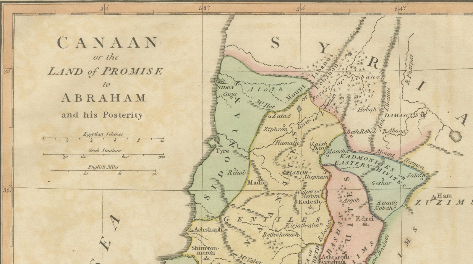
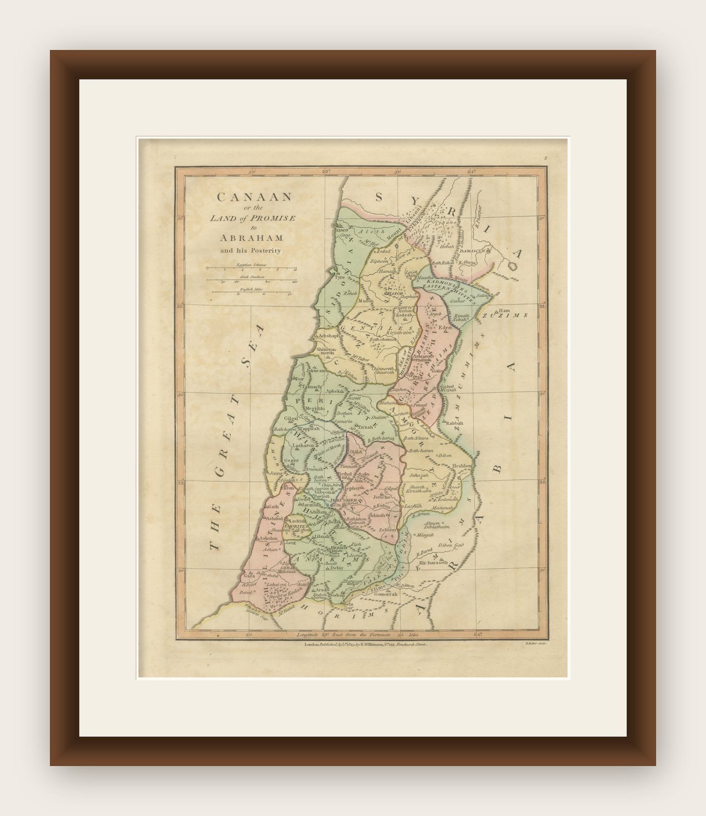
This finely engraved and beautifully hand-colored biblical map depicts Canaan, or the Land of Promise to Abraham and his posterity, and was published in London in 1827 as part of Wilkinson’s Atlas Classica, a scholarly atlas devoted to sacred and classical geography. The map illustrates the Holy Land through a scriptural lens, combining geographic precision with theological interpretation, reflecting the enduring nineteenth-century fascination with biblical history and sacred cartography.
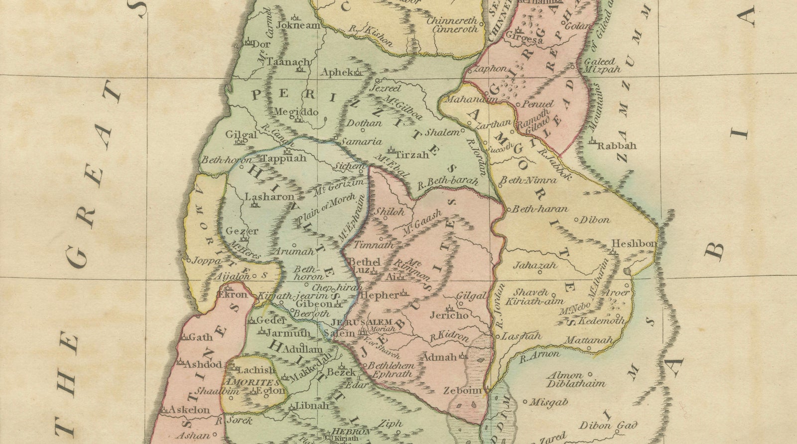
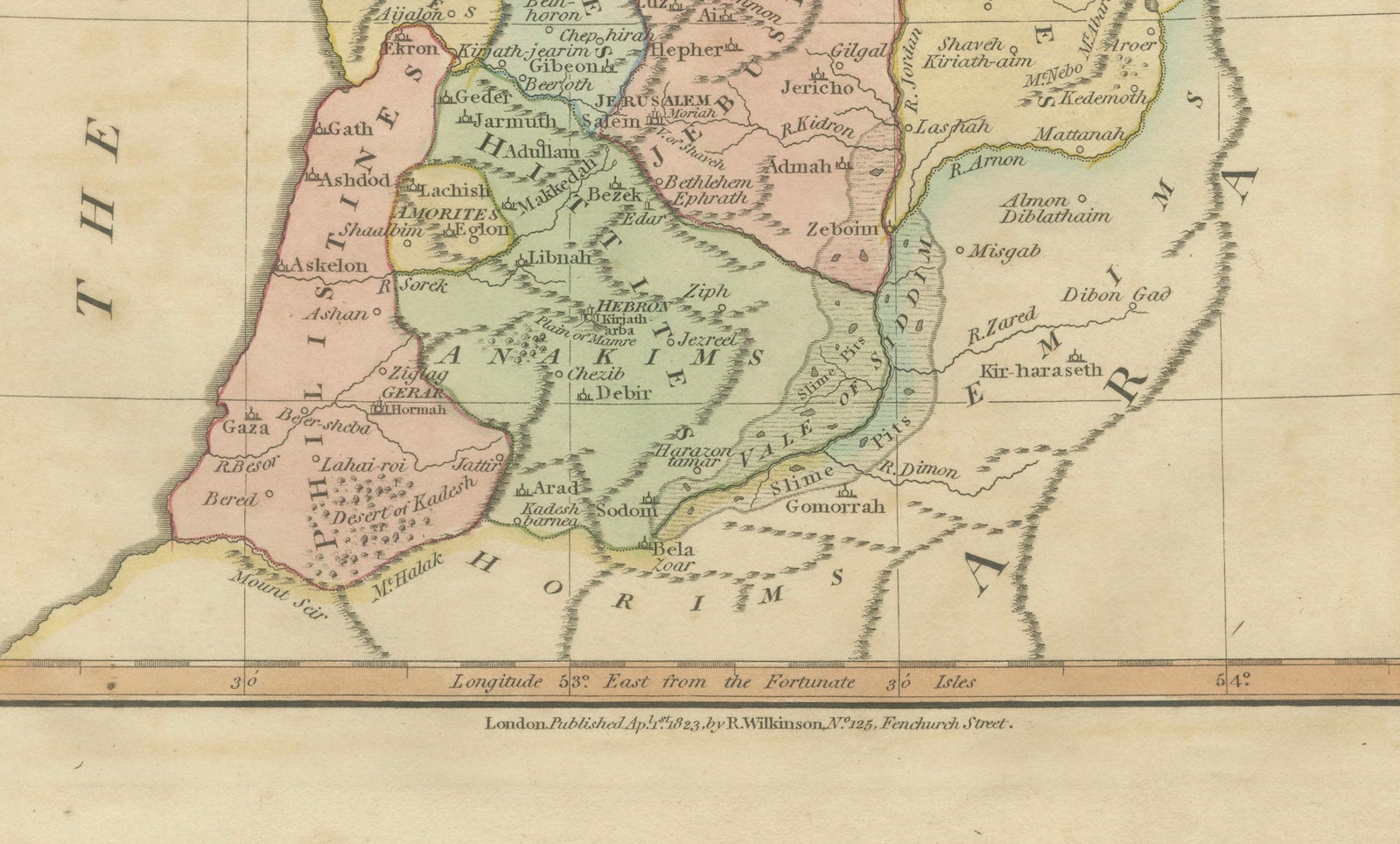
The composition presents the territory traditionally associated with the ancient Israelites, carefully divided into tribal regions and historical territories described in the Old Testament. The map extends from the Mediterranean coast across Judea, Samaria, and Galilee toward the Jordan Valley and eastward into territories beyond the Dead Sea. Numerous biblical locations are identified, including Jerusalem, Bethlehem, Hebron, Jericho, Gaza, Samaria, and Damascus, alongside ancient tribal lands associated with Israelite genealogies and narratives.
Executed in delicate copperplate engraving and enhanced with soft original hand color, the map achieves both clarity and aesthetic balance. Pastel tints distinguish tribal divisions and geographic regions, allowing the viewer to visually interpret the distribution of biblical territories. Typography is elegant and precise, characteristic of early nineteenth-century English atlas production, while the restrained decorative approach reflects Enlightenment influences that prioritized clarity and educational value.
Sacred geography maps such as this were produced for scholars, clergy, and educated audiences seeking to visualize biblical narratives in geographic form. They served as teaching tools as well as devotional objects, bridging classical scholarship and religious interpretation. Today, these maps are highly desirable among collectors of Holy Land material, biblical history enthusiasts, and interior designers seeking historically rich decorative pieces with intellectual depth.
The vertical format and harmonious coloring make this an ideal standalone artwork or companion piece alongside related biblical maps from the same atlas series. It frames exceptionally well and integrates beautifully into both traditional and contemporary interiors, particularly refined gallery-style settings.
Condition report: Good overall condition for age. Light age toning and scattered foxing consistent with early nineteenth-century paper. Minor edge wear from atlas removal. Original hand color remains fresh and attractive.
Framing tips: A dark walnut or warm brown frame combined with a generous ivory or off-white mat enhances the pastel coloring and gives a museum-quality presentation. Particularly effective in a classic or luxury interior setting.
Technique: Copperplate engraving with original hand color
Maker: Wilkinson, London, 1827
Keyword block (important places and regions visible on the map):
Canaan, Holy Land, Land of Promise, Abraham, Israelites, Tribes of Israel, Jerusalem, Bethlehem, Hebron, Jericho, Samaria, Judea, Galilee, Gaza, Ashdod, Ashkelon, Joppa, Tyre, Sidon, Damascus, Jordan River, Dead Sea, Sea of Galilee, Mediterranean Sea, Mount Carmel, Mount Tabor, Mount Hermon, Nazareth, Bethel, Shiloh, Shechem, Megiddo, Gilgal, Gibeon, Ramah, Mizpah, Beersheba, Hebron Hills, Judean Hills, Philistia, Moab, Ammon, Edom, Bashan, Gilead, Perea, Decapolis, Galilee Hills, Samarian Highlands, Negev Desert, Sinai approaches, Transjordan, Ephraim, Manasseh, Judah, Benjamin, Simeon, Dan, Naphtali, Zebulun, Issachar, Asher, Reuben, Gad, Jerash, Rabbah, Heshbon, Zoar, Sodom, Gomorrah, Bethany, Emmaus, Beth-horon, Lachish, Timnah, Adullam, En-gedi, Arad, Kadesh.
Explore