Close-ups
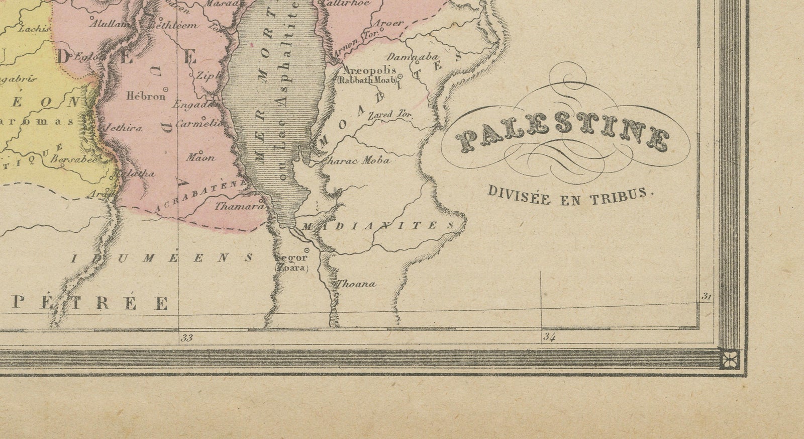
Framed and on the wall
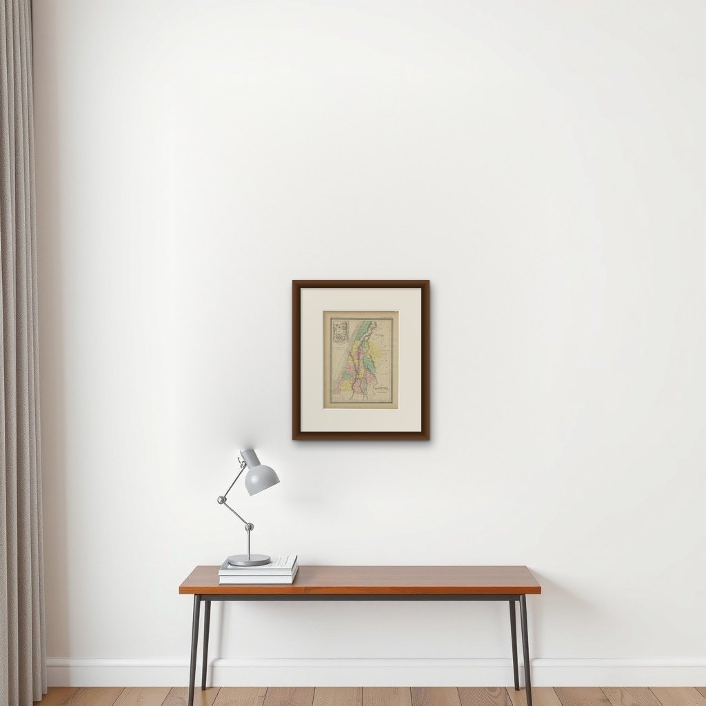

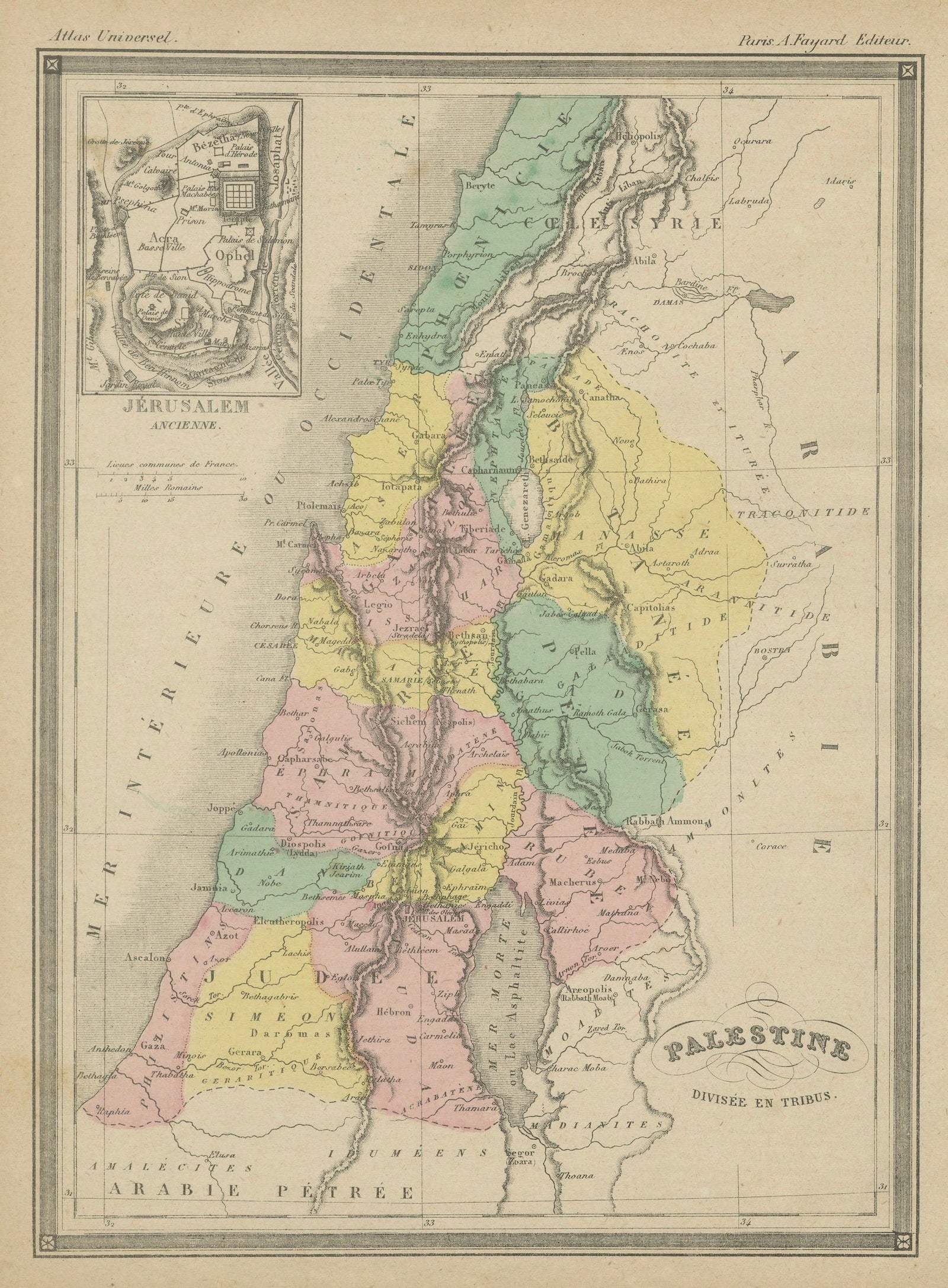
Frame and rooms are illustrations of how the print could look, drawn to its real size; it is sold unframed unless the description says otherwise.
The Holy Land
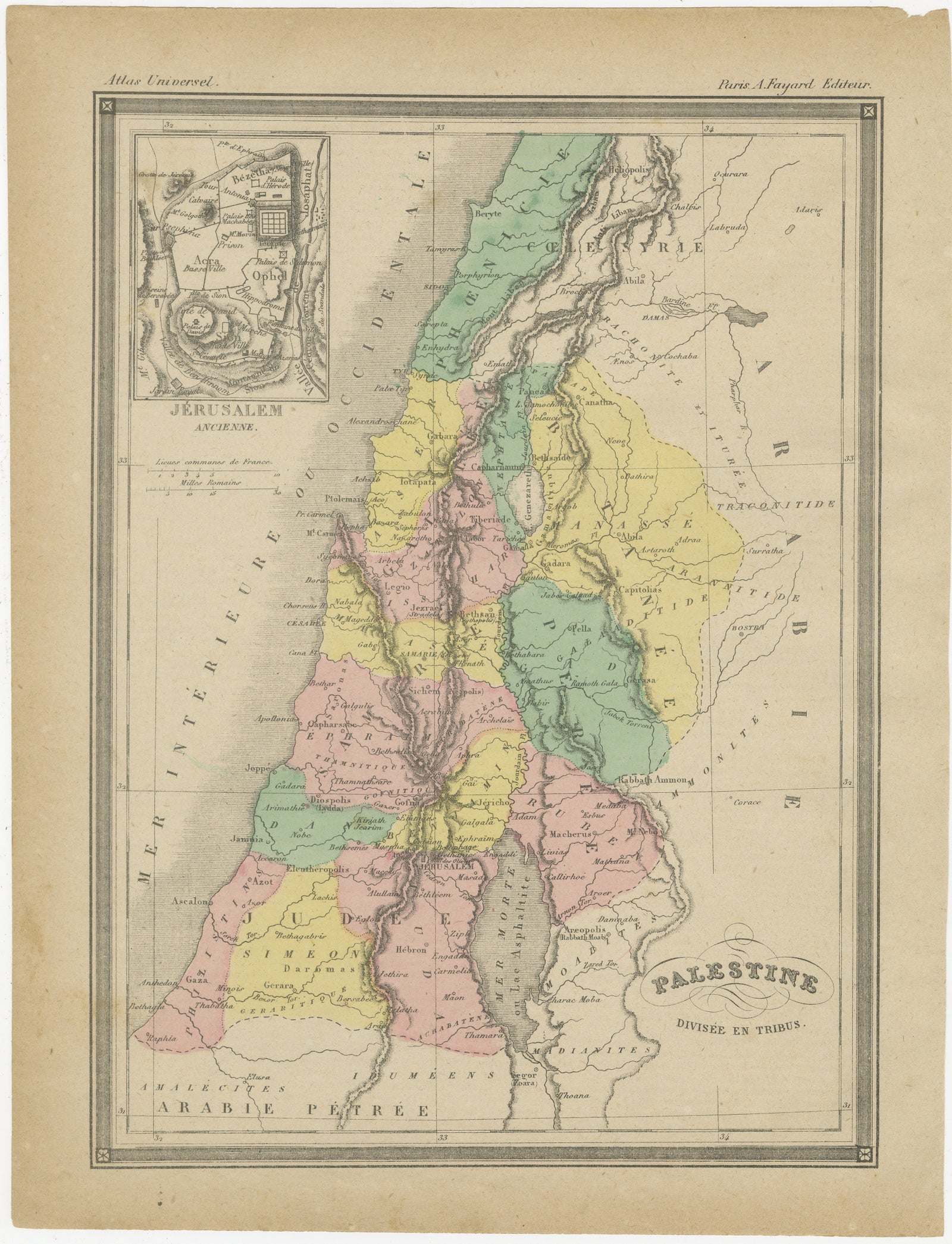
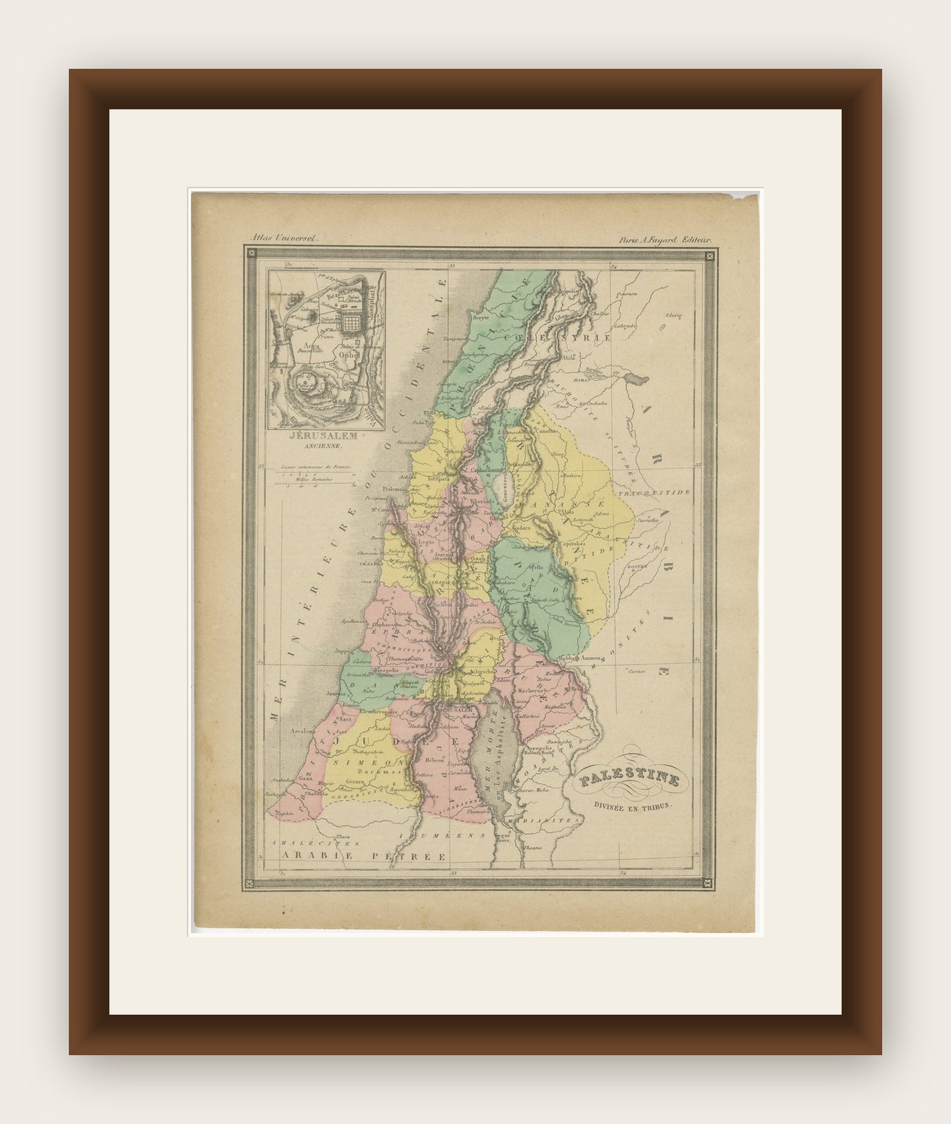
Palestine Divided into Tribes Map with Ancient Jerusalem, Paris, c.1850
Anno Domini MDCCCL1850
£255
$335 · €299
Original print, not a reproduction
Ships worldwide from the Netherlands, flat, insured and tracked. 14-day returns. To buy, use Ask a question (info@antiquesacredprints.com) and we will reserve it for you.
- Date
- 1850
- Sheet size
- 12 × 9.1 in (30.5 × 23.2 cm)
- Condition
- Good. Good antique condition with age-related toning and light handling wear. Minor foxing and small marginal imperfections consistent with age. Original hand coloring remains fresh and attractive. Strong overall impression.
- Faith
- Christianity, Judaism
- Collection
- The Holy Land
- Era
- 1850 and after, Chromolithographs and devotional prints
- Stock no.
- f_49451962
Palestine Divided into Tribes Map with Ancient Jerusalem, Paris, c.1850
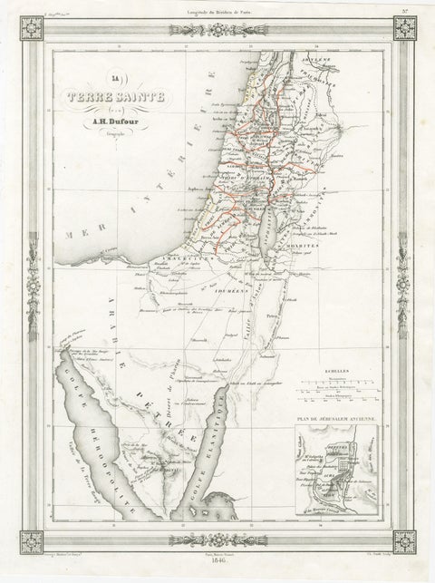
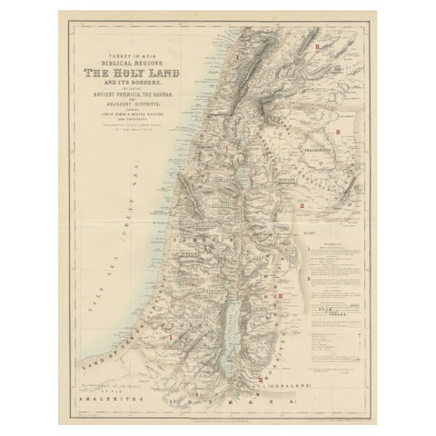
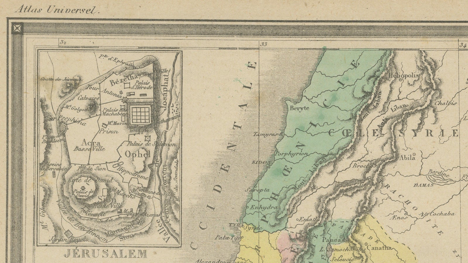
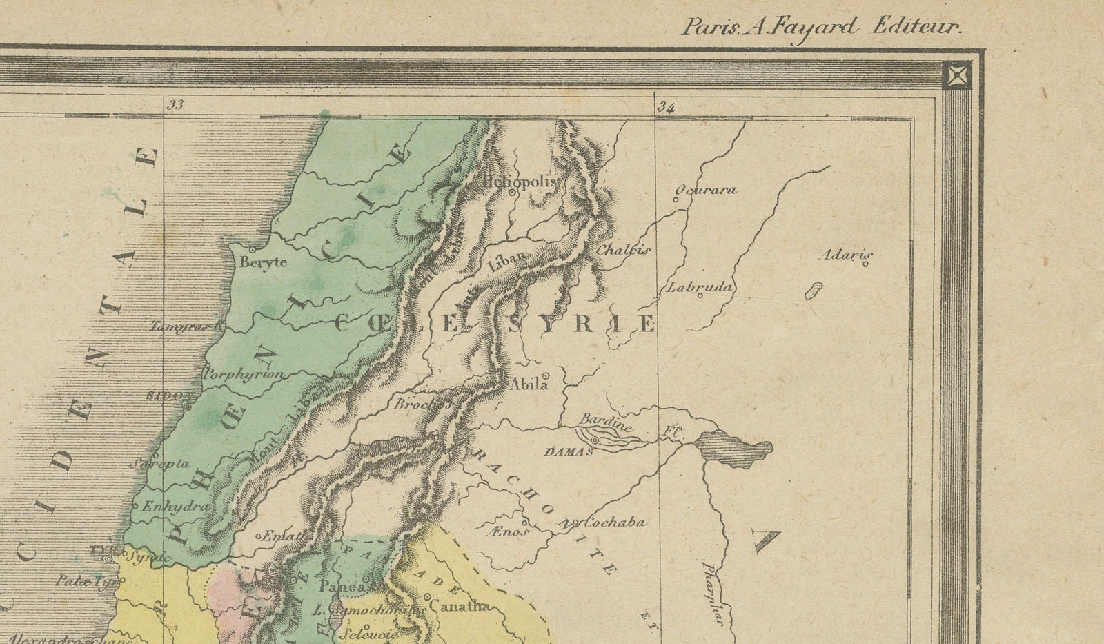
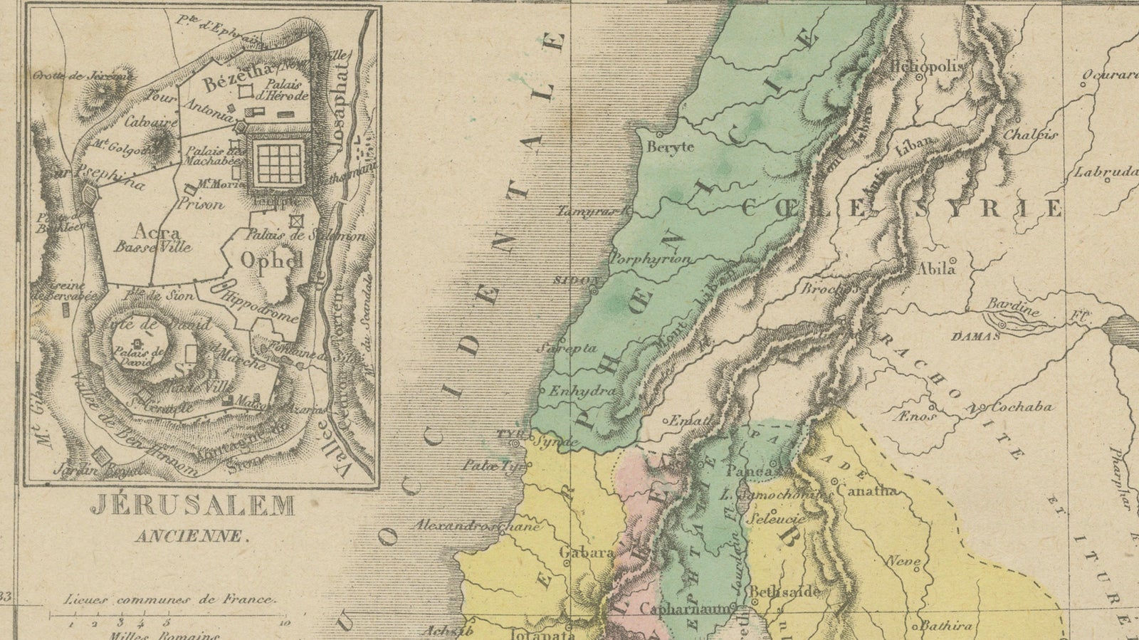
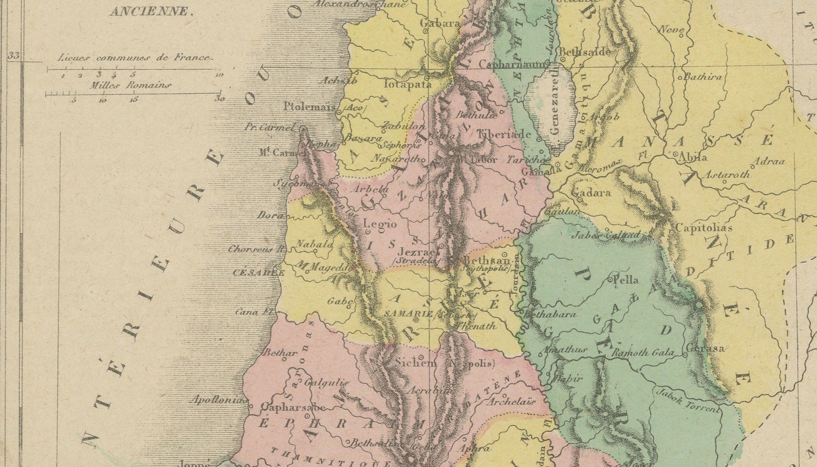
This attractive mid-19th century French biblical map titled “Palestine Divisée en Tribus” depicts the Holy Land according to the territorial divisions of the Twelve Tribes of Israel. Published in Paris around 1850 to 1852 as part of an *Atlas Universel*, the map reflects the enduring European fascination with biblical geography and sacred history during the 19th century.
The composition presents the ancient land of Palestine extending from the Mediterranean coast to the Jordan Valley and Dead Sea, with tribal territories carefully distinguished through delicate original hand coloring. Regions assigned to Judah, Benjamin, Ephraim, Manasseh, Naphtali, Asher, Issachar, Zebulun, Gad, Reuben, Simeon, and Dan are all clearly delineated, transforming the map into both a geographical and biblical historical document.
A particularly appealing feature is the inset plan of “Jérusalem Ancienne” in the upper left corner. This detailed view of Ancient Jerusalem illustrates the sacred city’s walls, temple area, palaces, and principal historical landmarks associated with biblical and classical antiquity. The inset adds significant visual and collector appeal, elevating the piece beyond a standard regional map.
French atlas maps from this period are admired for their elegant engraving, refined typography, and subtle pastel hand coloring. Here, the gentle palette of greens, pinks, yellows, and blues combines beautifully with the shaded relief work of the mountainous terrain, creating a highly decorative image with strong wall presence. The vertical format further enhances its suitability for interior display.
Biblical maps have remained consistently desirable among collectors due to their crossover appeal between cartography, religion, archaeology, and classical history. Maps of Palestine and Jerusalem are especially sought after, particularly examples featuring tribal divisions or inset plans of the Holy City.
This map works exceptionally well in traditional interiors, studies, libraries, and Mediterranean or Middle Eastern-inspired spaces. It also pairs beautifully with other Holy Land engravings and biblical maps in gallery wall arrangements.
Condition: Good antique condition with age-related toning and light handling wear. Minor foxing and small marginal imperfections consistent with age. Original hand coloring remains fresh and attractive. Strong overall impression.
Framing tips: Particularly effective in a dark walnut or gilt frame with a warm ivory mat for a classic biblical atlas presentation. Also highly suitable for elegant study or library interiors.
Technique: Engraved map with original hand coloring
Maker: Atlas Universel, Paris, circa 1850 to 1852
Note: The map is an original antique print, not a reproduction. All items we offer are authentic period works of art over 100 years old. The pieces are sold unframed; any framed images are shown for presentation and interior inspiration only and may not always be to scale.