Close-ups
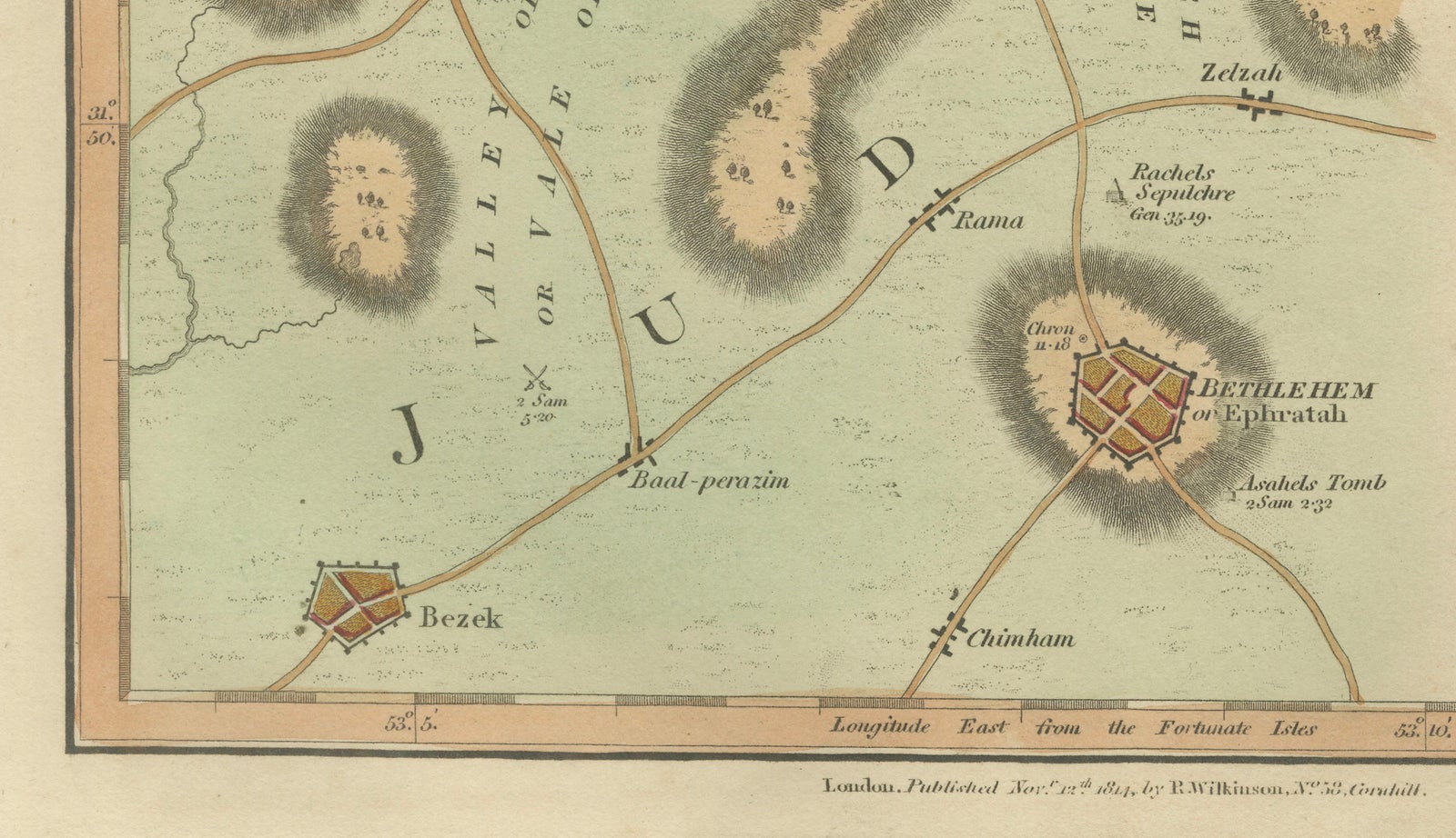
Framed and on the wall
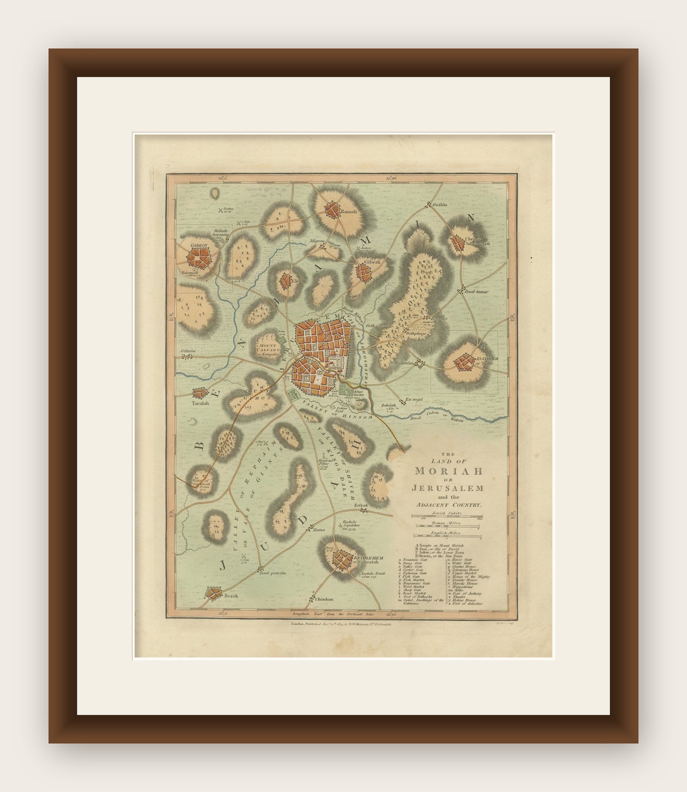


Frame and rooms are illustrations of how the print could look, drawn to its real size; it is sold unframed unless the description says otherwise.
The Holy Land
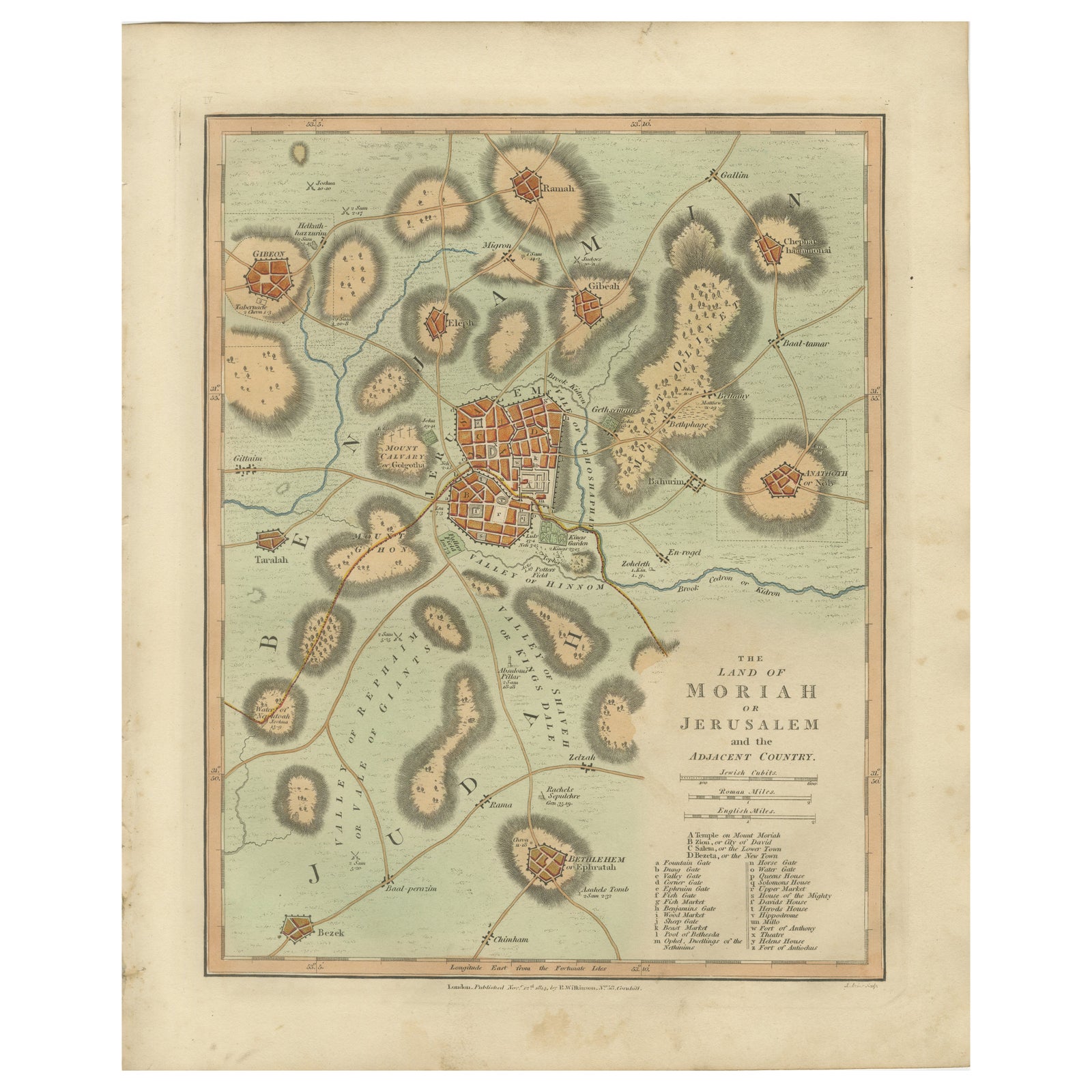
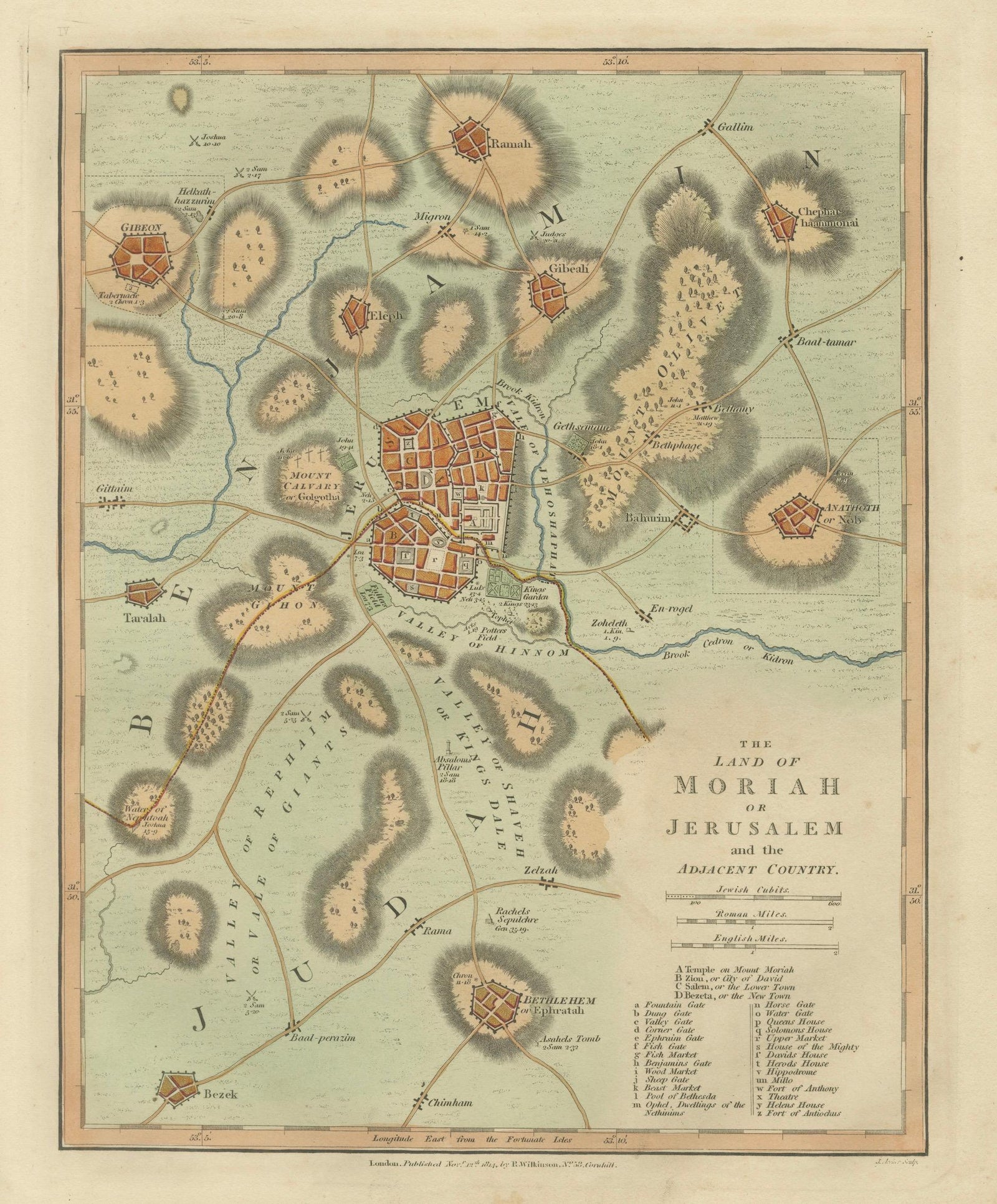
The Land of Moriah or Jerusalem & the Adjacent Country, Biblical City Map, 1814
Anno Domini MDCCCXIV1814
$350
€310 · £265
Original print, not a reproduction
Ships worldwide from the Netherlands, flat, insured and tracked. 14-day returns. To buy, use Ask a question (info@antiquesacredprints.com) and we will reserve it for you.
- Date
- 1814
- Sheet size
- 13.5 × 11 in (34.2 × 28 cm)
- Condition
- Good. Condition report: Good overall condition for age. Light age toning and minor foxing consistent with early nineteenth-century paper. Minor marginal wear from atlas removal. Original hand color remains fresh and attractive.
- Faith
- Christianity, Judaism
- Collection
- The Holy Land
- Era
- 1800 to 1849, Travellers and the costume books
- Stock no.
- f_48748152
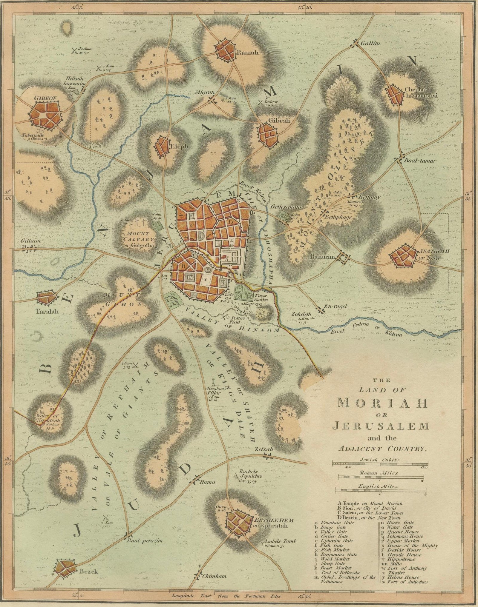
The Land of Moriah or Jerusalem and the Adjacent Country, Biblical City Map, Wilkinson 1814
This finely engraved and delicately hand-colored biblical map titled “The Land of Moriah or Jerusalem and the Adjacent Country” was published in London in 1827 as part of Wilkinson’s Atlas Classica, a scholarly atlas devoted to sacred and classical geography. The map presents a detailed historical view of Jerusalem and its surrounding landscape, offering a visual interpretation of the city’s biblical geography and its role within sacred history.
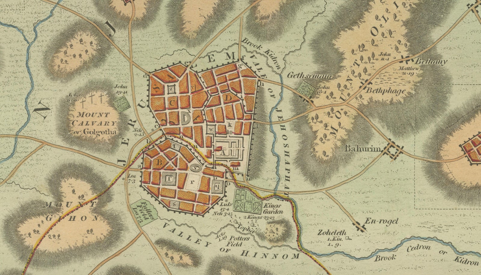
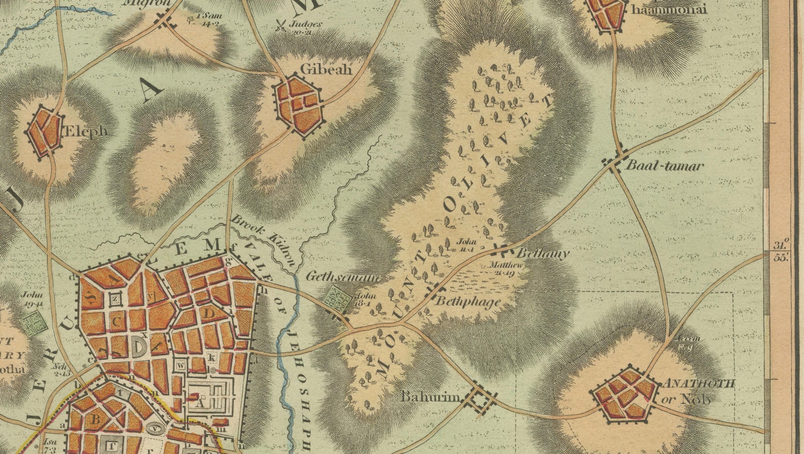
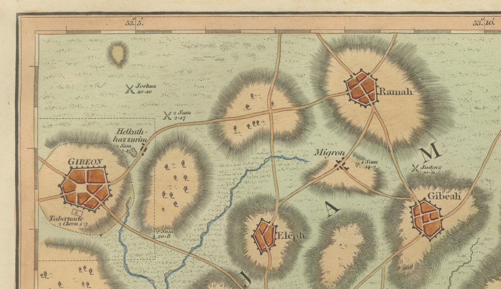
Centered on Jerusalem, the composition depicts the ancient city with carefully rendered walls, streets, and significant locations identified through a numbered key. Surrounding hills, valleys, and nearby settlements are illustrated with stylized topography, providing insight into the geographic setting referenced in biblical narratives. Important landmarks such as Mount Moriah, Mount Calvary (Golgotha), the Valley of Hinnom, the Valley of Jehoshaphat, Bethlehem, and numerous nearby towns and roads are included, creating a rich geographic context for the study of biblical events.
Executed in refined copperplate engraving typical of early nineteenth-century London atlas production, the map combines clarity, elegant typography, and harmonious hand coloring. The restrained decorative style emphasizes readability and scholarly intent while maintaining strong visual appeal. The soft pastel palette and carefully shaded terrain enhance both the educational value and decorative quality of the map.
Jerusalem city plans from this period are particularly sought after because they combine sacred geography with detailed urban representation, appealing to collectors interested in religious history, historical cartography, and early depictions of the Holy City. The balanced composition and distinctive color scheme also make this map highly suitable as a standalone decorative artwork.
The square format and architectural focus allow the piece to function equally well as an academic reference and as a visually striking interior element. It integrates beautifully into gallery walls featuring historical or religious themes and pairs exceptionally well with other biblical maps from the same Wilkinson series.
Condition report: Good overall condition for age. Light age toning and minor foxing consistent with early nineteenth-century paper. Minor marginal wear from atlas removal. Original hand color remains fresh and attractive.
Framing tips: A dark walnut or warm brown frame paired with a generous ivory or off-white mat enhances the pastel coloring and creates a refined museum-style presentation suitable for both classic and contemporary interiors.
Technique: Copperplate engraving with original hand color
Maker: Wilkinson, London, 1827
Keyword block (important places and regions visible on the map):
Jerusalem, Mount Moriah, Holy City, Temple Mount, Zion, Mount Calvary, Golgotha, Bethlehem, Valley of Hinnom, Valley of Jehoshaphat, Kidron Valley, Mount of Olives, Judea, Holy Land, Canaan, ancient Jerusalem, biblical city plan, Jerusalem walls, sacred geography, biblical cartography, Temple area, David’s City, Bethlehem road, Bethany, Ramah, Gibeah, Mizpah, Anathoth, Bethphage, Bethany, En-rogel, Kidron Brook, ancient roads, pilgrimage routes, Jerusalem topography, Mount Zion, surrounding hills, Judean Highlands, ancient Israel, biblical landscape, sacred map, religious cartography, historical Jerusalem.
Explore