Close-ups
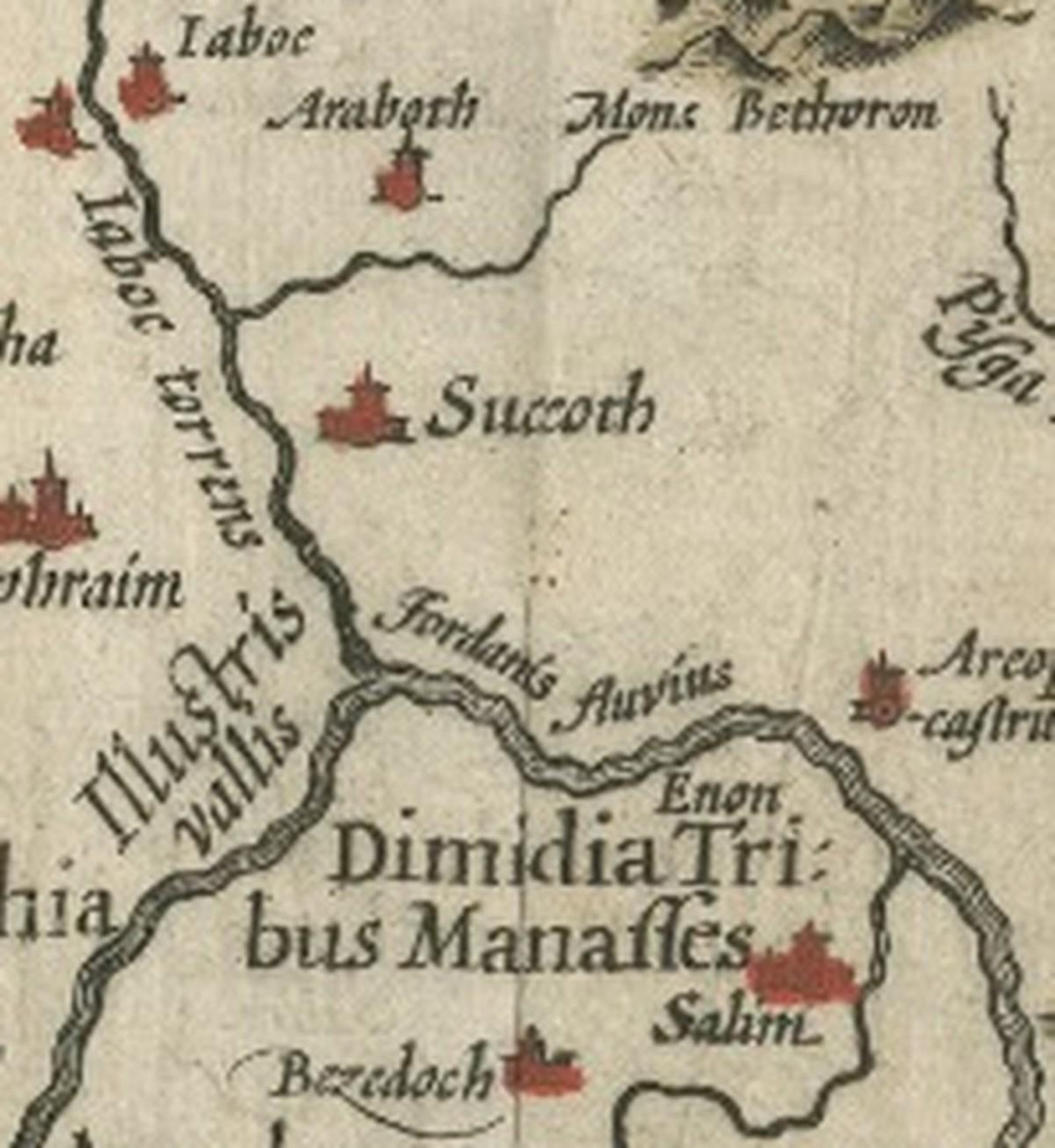
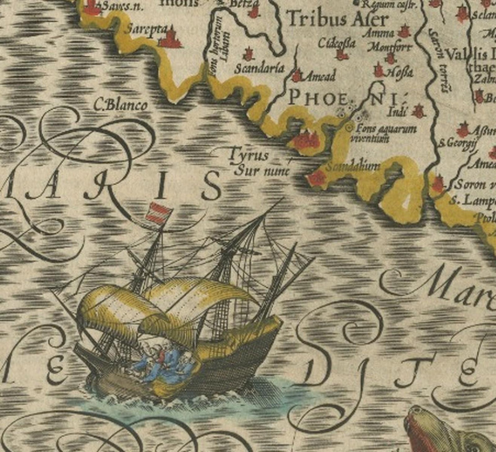
Framed and on the wall
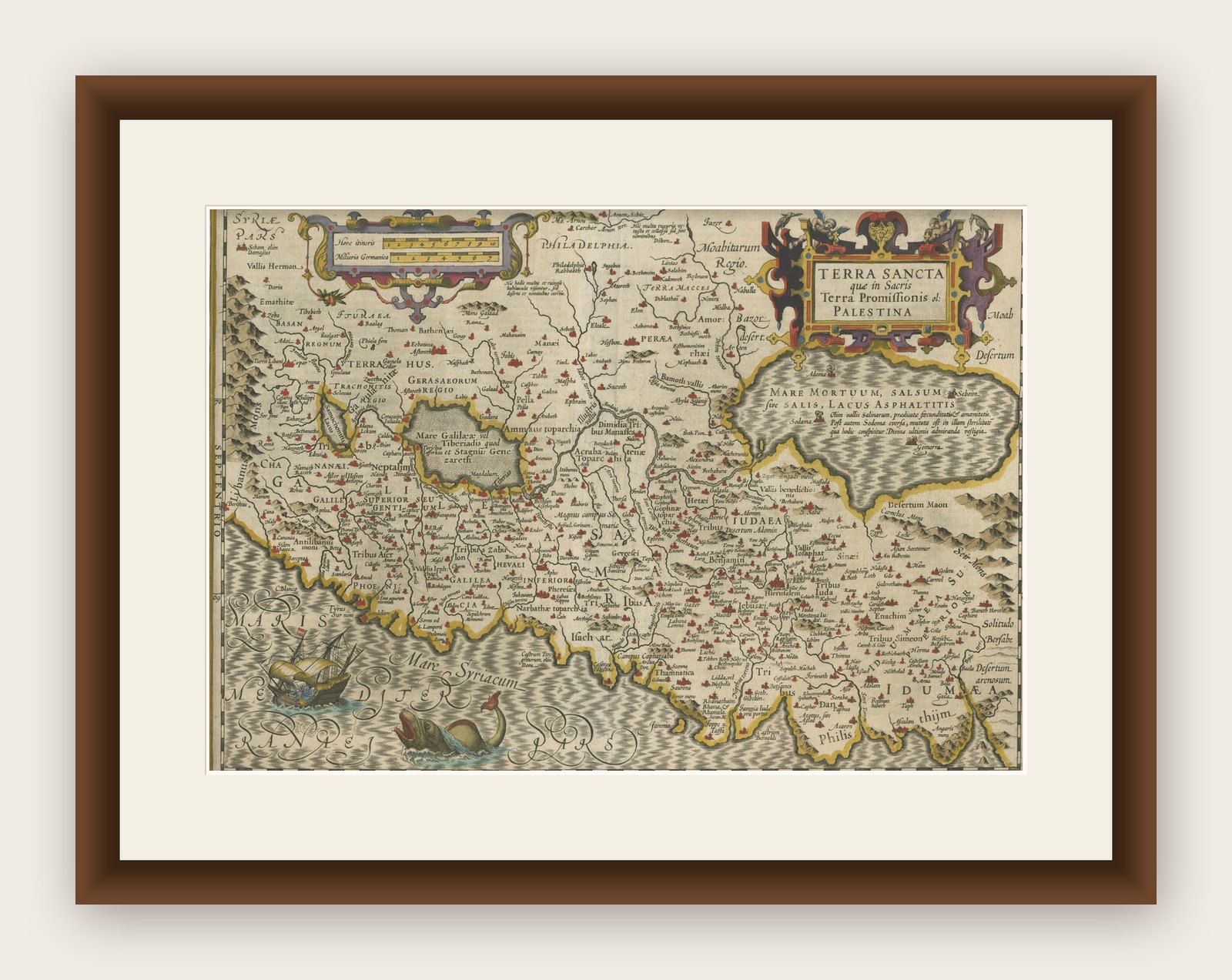
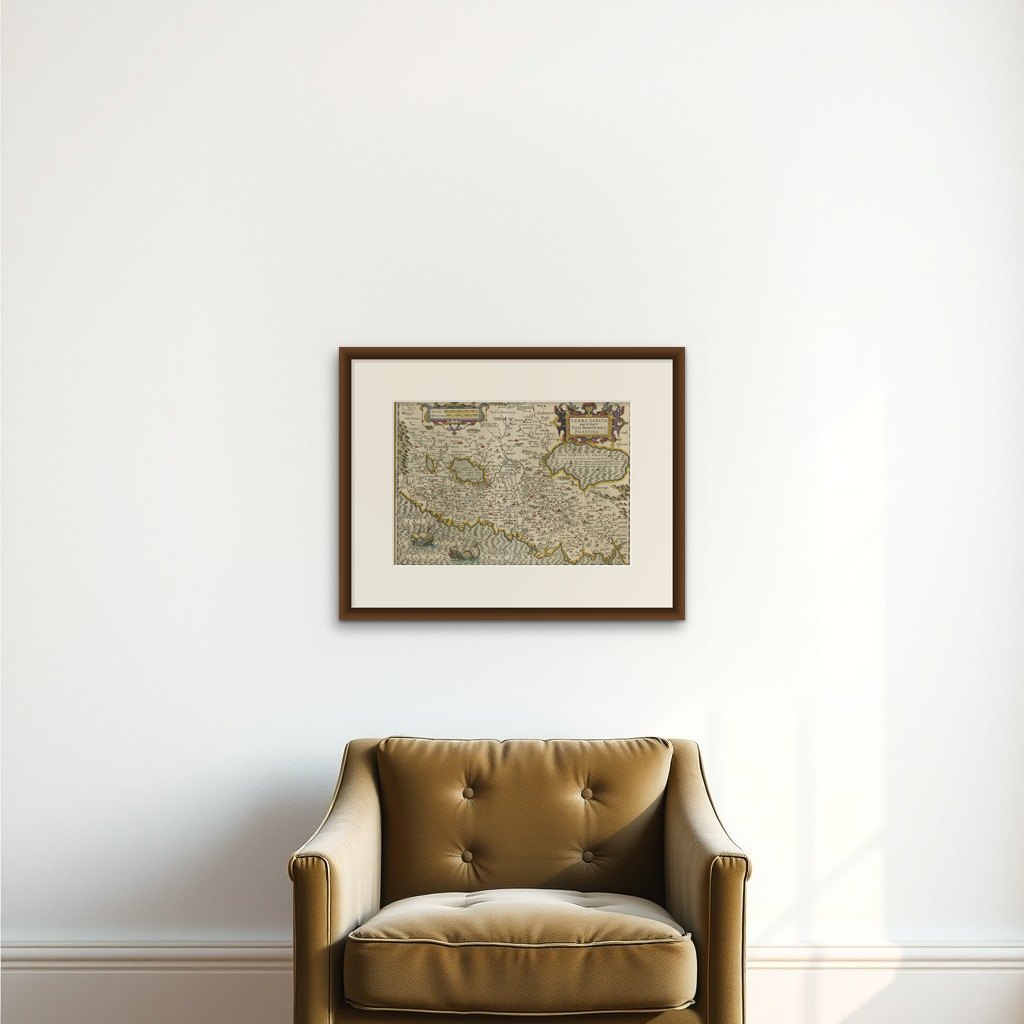
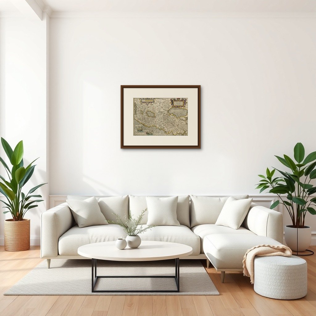
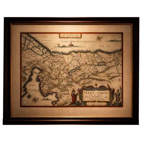
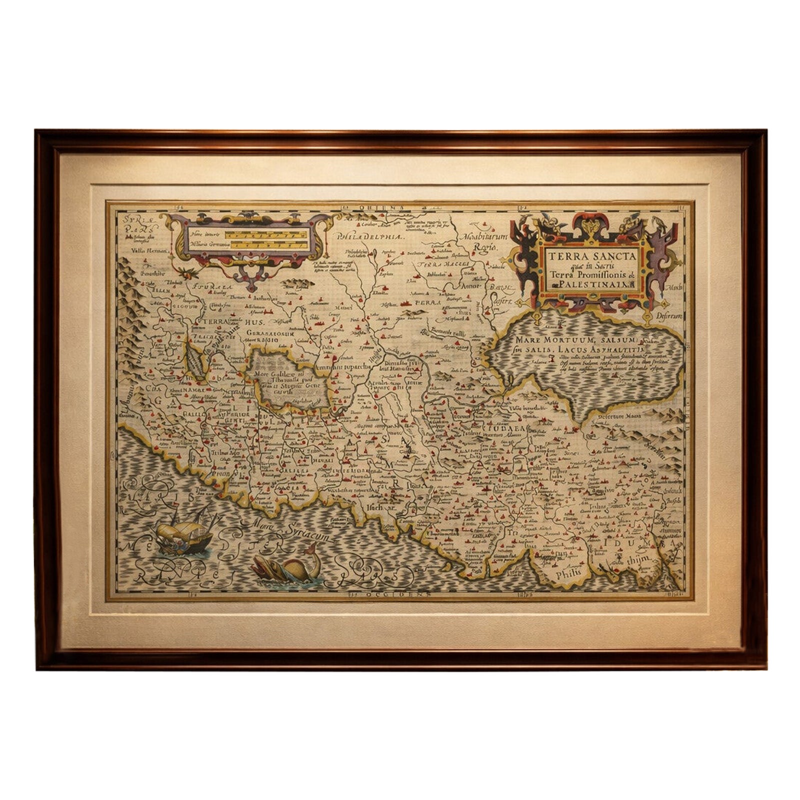
Frame and rooms are illustrations of how the print could look, drawn to its real size; it is sold unframed unless the description says otherwise.
The Holy Land
Holy Land Map, Terra Sancta Palestina, Hondius, Hand-Colored Engraving c.1620
Anno Domini MDCXX1620
€1,190
$1,340 · £1,010
Original print, not a reproduction
Ships worldwide from the Netherlands, flat, insured and tracked. 14-day returns. To buy, use Ask a question (info@antiquesacredprints.com) and we will reserve it for you.
- Date
- 1620
- Sheet size
- 13.6 × 19.3 in (34.5 × 49 cm)
- Condition
- Good. Good condition overall. Original hand coloring. Noticeable age toning and patina throughout, with light browning and surface wear consistent with age. Minor edge wear and small paper irregularities visible. Latin text on verso. Unframed.
- Faith
- Christianity, Judaism
- Collection
- The Holy Land
- Era
- Before 1700, Woodcuts and the great atlases
- Stock no.
- f_48614672
Holy Land Map, Terra Sancta Palestina, Hondius, Hand-Colored Engraving c.1620
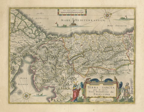
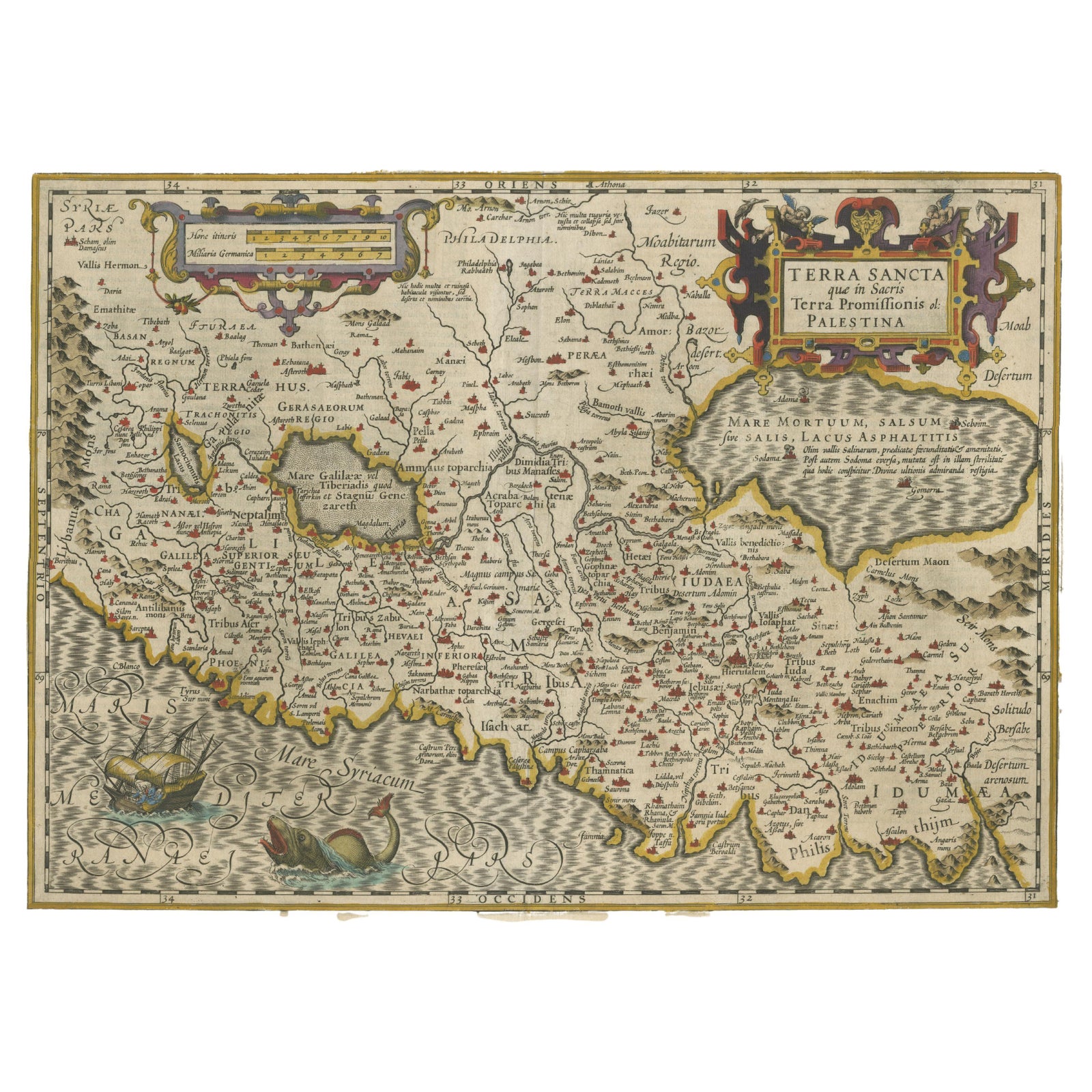
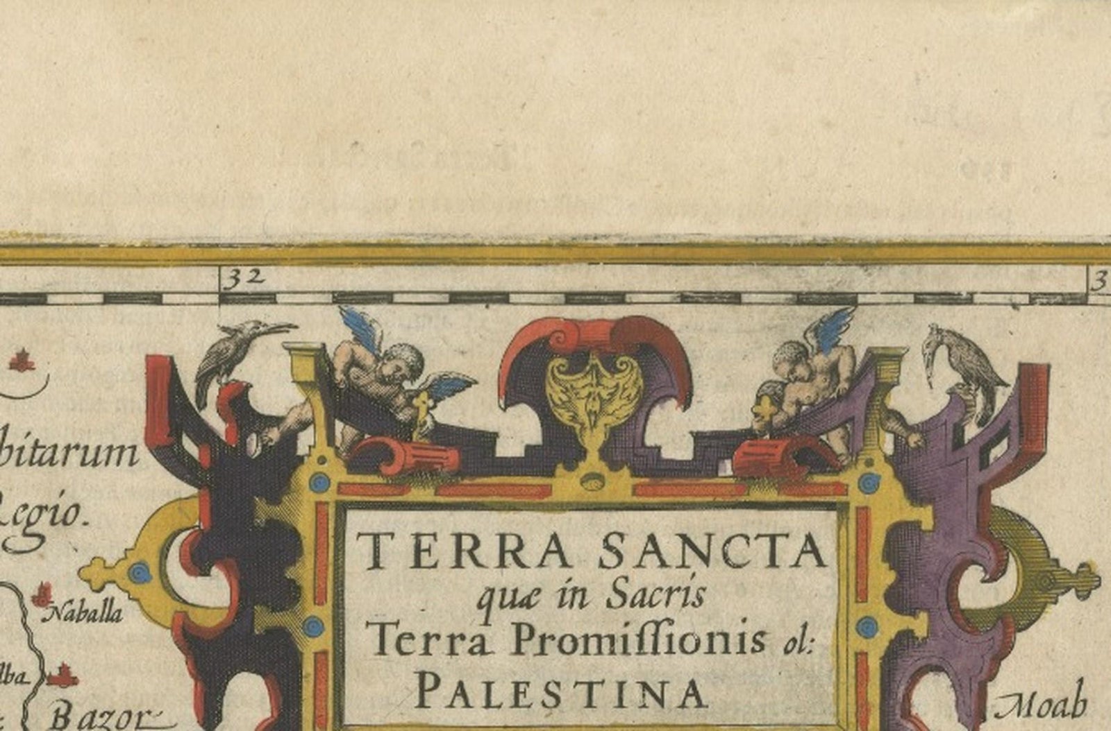
This finely engraved and hand-colored original antique map depicts the Holy Land under the title Terra Sancta quae in sacris Terra Promissionis olim Palestina. The map was produced by Jodocus Hondius in Amsterdam around 1620 and represents one of the most influential early 17th-century cartographic interpretations of biblical Palestine.
The map is offered unframed, giving flexibility to select a frame that best suits the intended interior.
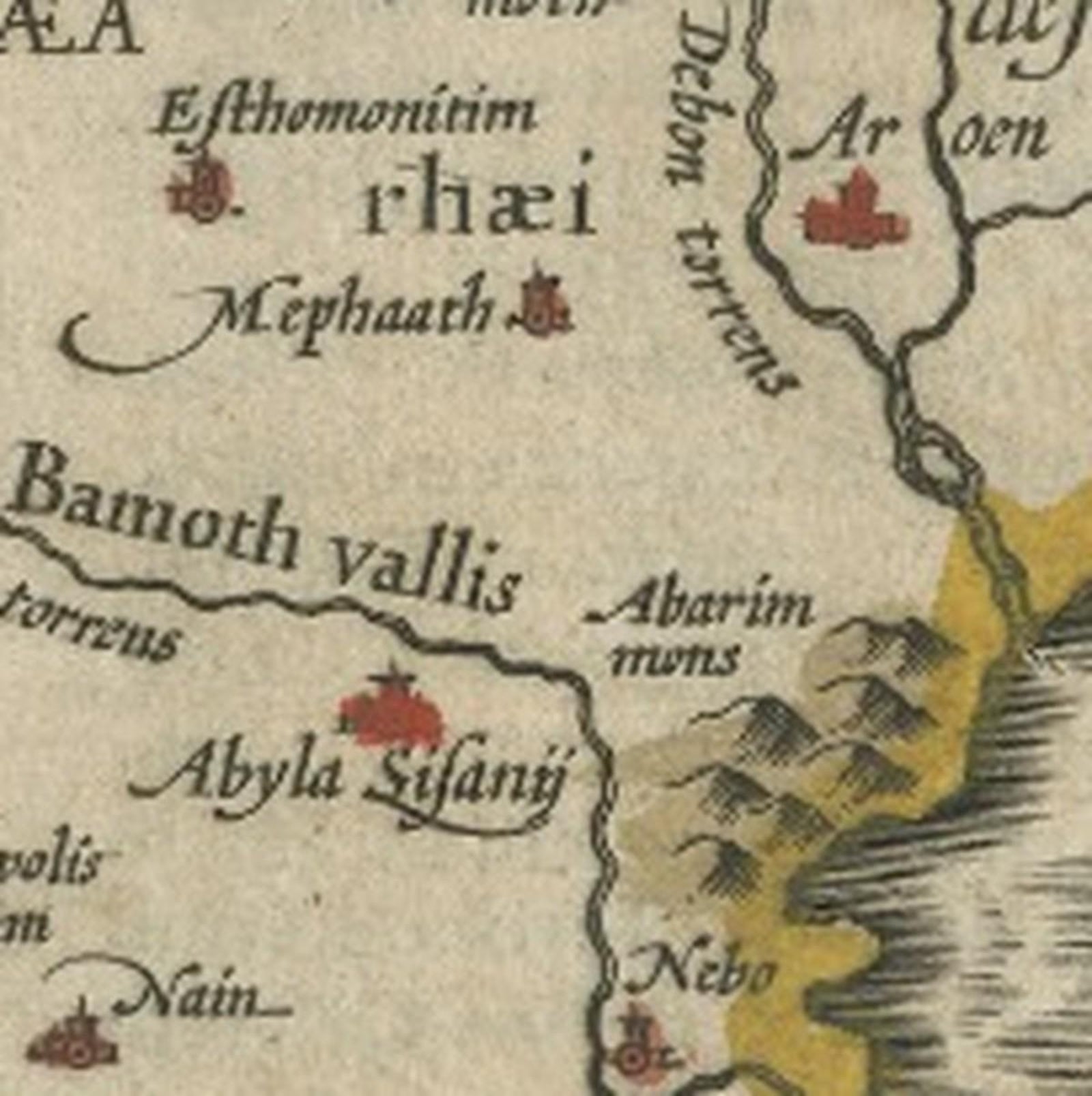
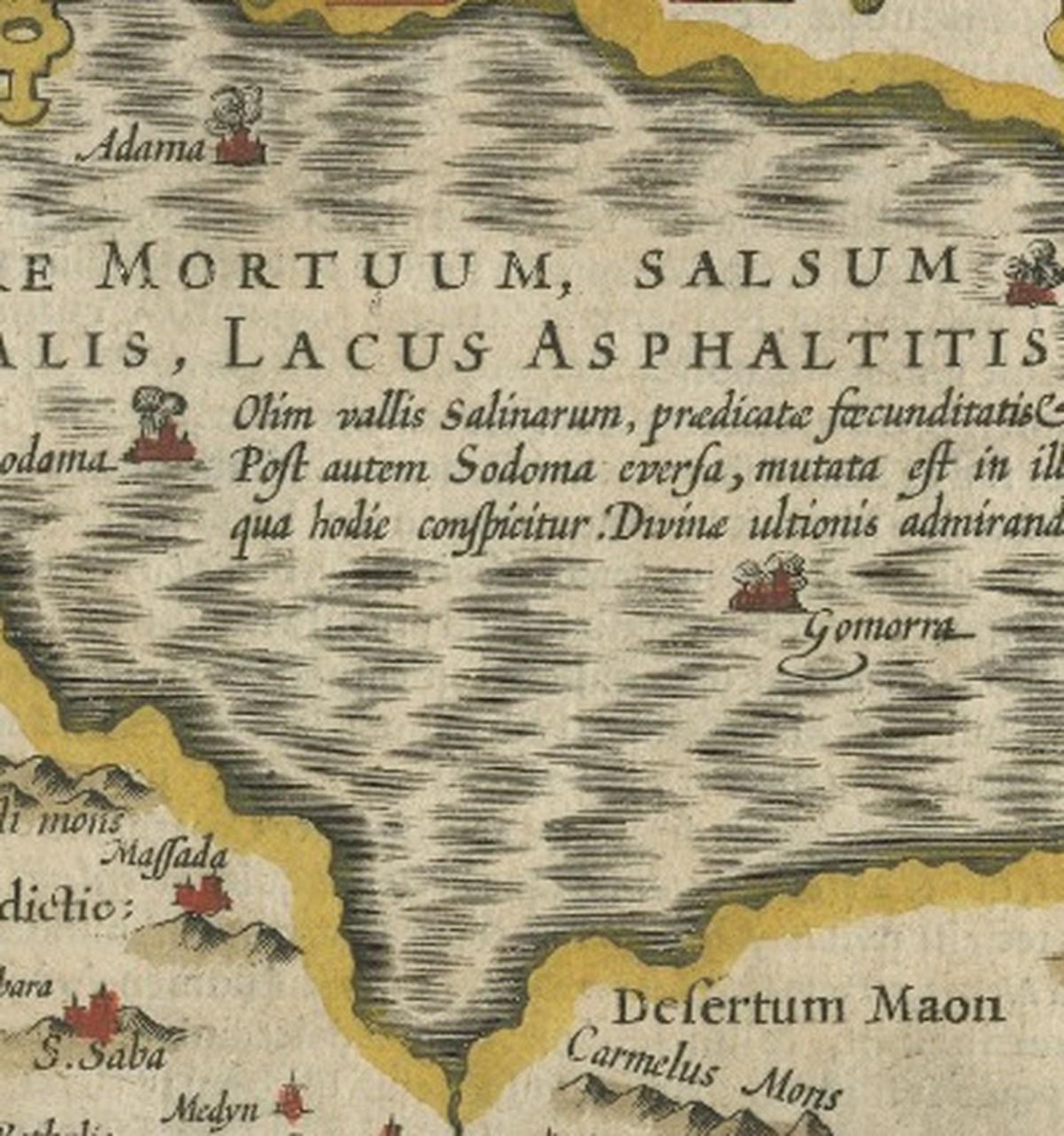
The map presents a detailed sacred geography of the region, encompassing Judaea, Samaria, Galilee, Phoenicia, Idumaea, and Moab, along with the Mediterranean coast and the Dead Sea (Mare Mortuum). Biblical place names and tribal divisions are carefully delineated, reflecting the map’s primary function as a tool for scriptural study and historical reference rather than navigation.
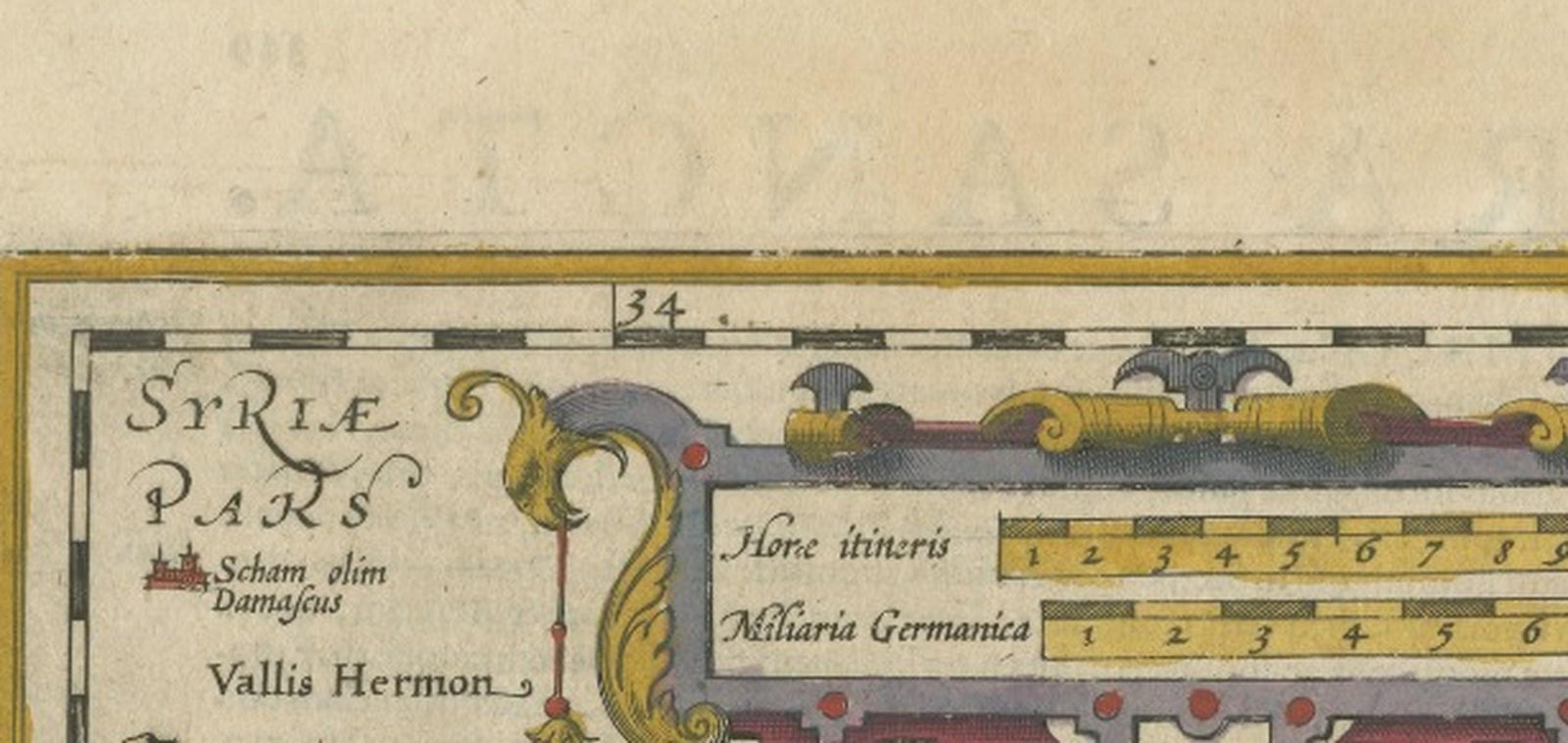
Oriented with east at the top, the composition follows long-standing biblical cartographic conventions. Decorative elements include a large and elaborate strapwork title cartouche, a mileage scale, and a textual inset describing the Dead Sea. The Mediterranean is animated with ships and a sea creature, adding visual interest while remaining consistent with early 17th-century map ornamentation.
This map belongs to the Hondius tradition of sacred cartography, which built upon earlier Renaissance models while refining engraving quality and decorative clarity. Maps of the Holy Land such as this were widely circulated in atlases and biblical works, appealing to scholars, theologians, and collectors across Europe. The presence of Latin text on the verso confirms its original inclusion in a published atlas.
Today, Holy Land maps by Hondius are highly sought after for their historical importance, decorative appeal, and enduring symbolic resonance. This example is particularly attractive due to its strong engraving, early hand coloring, and well-balanced composition, making it suitable for both serious collectors and refined interior display.
Short provenance / atlas-context note:
This map was engraved by Jodocus Hondius and published in Amsterdam circa 1620. It was issued with Latin text on the verso for inclusion in early 17th-century atlases, reflecting the strong demand for biblical geography during the Dutch Golden Age. Hondius’s Holy Land maps are closely associated with the great atlas tradition that followed Ortelius, and were widely consulted by scholars, theologians, and educated collectors across Europe.
Condition report:
Good condition overall. Original hand coloring. Noticeable age toning and patina throughout, with light browning and surface wear consistent with age. Minor edge wear and small paper irregularities visible. Latin text on verso. No modern restoration observed.
Framing tips:
This map benefits from a classic museum-style presentation. A generous soft ivory or parchment-colored mat will complement the aged paper and hand coloring, paired with a dark walnut, ebonized, or lightly gilt frame. UV-protective glazing is recommended to preserve the paper and color.
Technique: Hand-colored engraving
Maker: Jodocus Hondius, Amsterdam, circa 1620
Keywords:
Holy Land map, Terra Sancta map, Palestine antique map, biblical map, Holy Land engraving, Jodocus Hondius, Hondius map, Amsterdam cartography, 17th century map, antique religious map, Bible geography, biblical Palestine, Judaea Samaria Galilee, Terra Promissionis, sacred geography, Christian cartography, early modern map, Renaissance cartography, Dutch Golden Age maps, engraved map, hand colored map, strapwork cartouche, antique wall map, biblical history map, Holy Land collectible, antique atlas map, Latin text verso, religious art map, Old Testament geography, New Testament geography, Jerusalem map context, Dead Sea map, Mare Mortuum, Mediterranean coast map, antique map interior decor, collector map, museum quality map, rare Holy Land map, early atlas map, ecclesiastical map
Explore