Close-ups
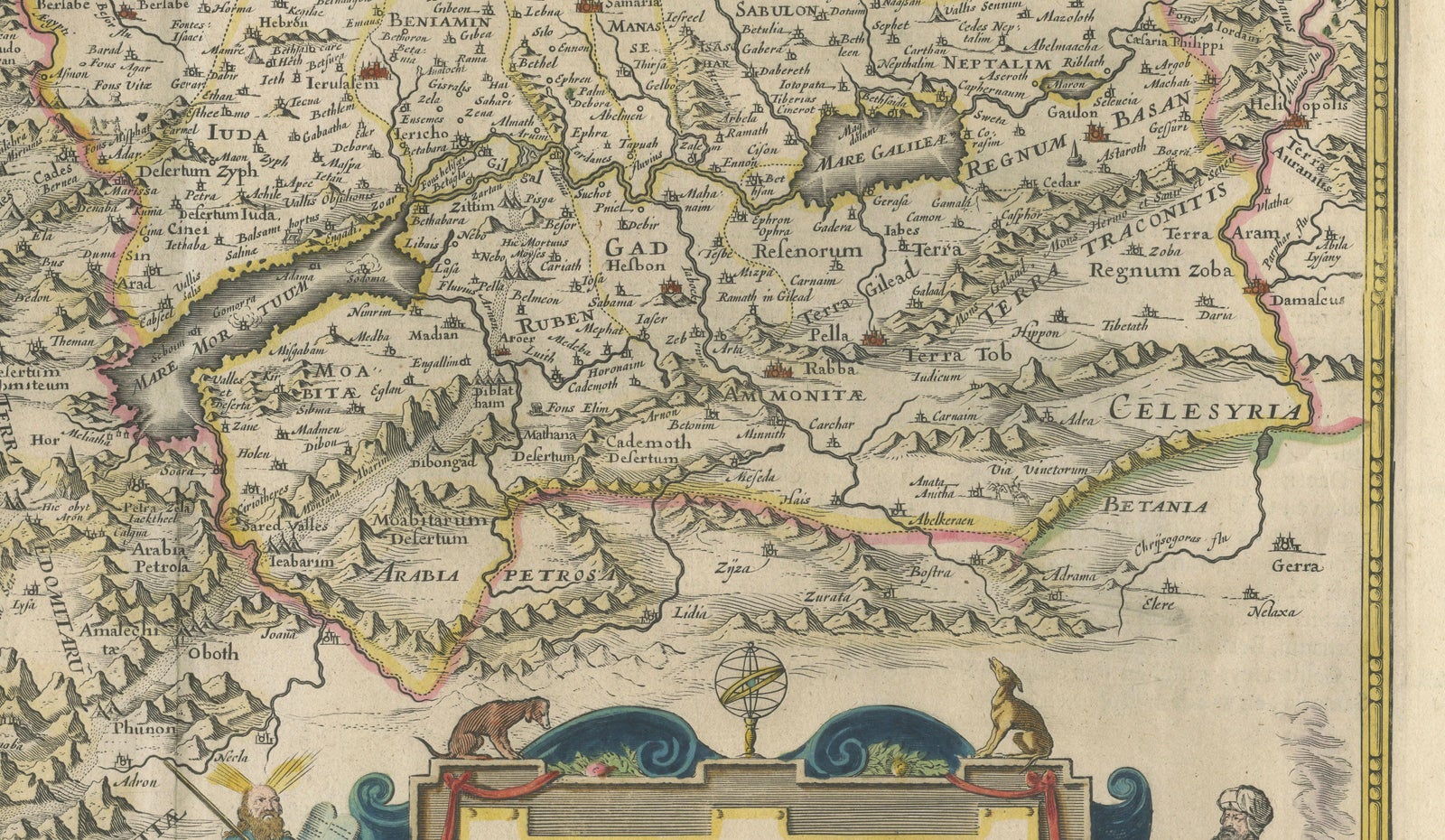
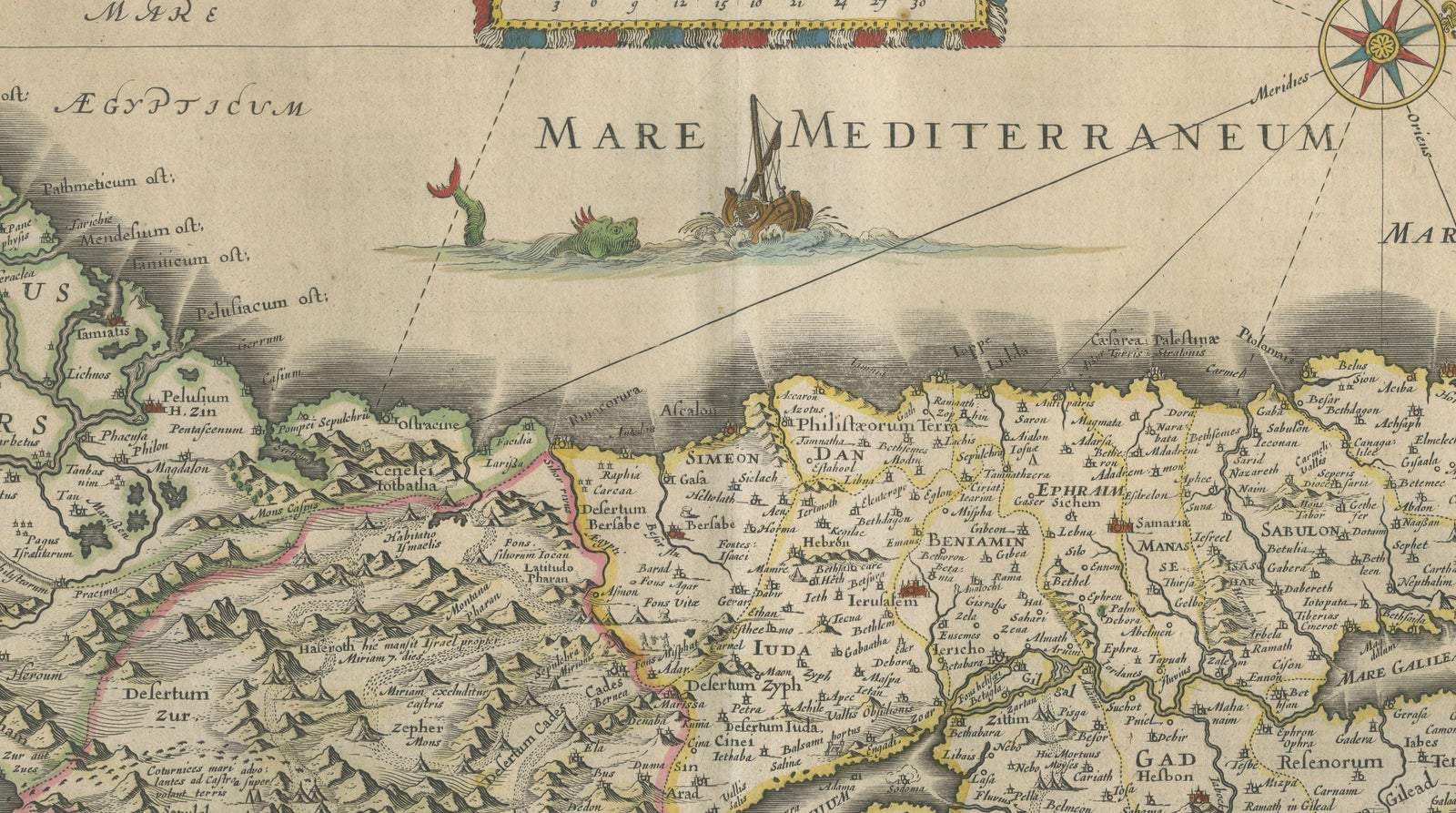
Framed and on the wall
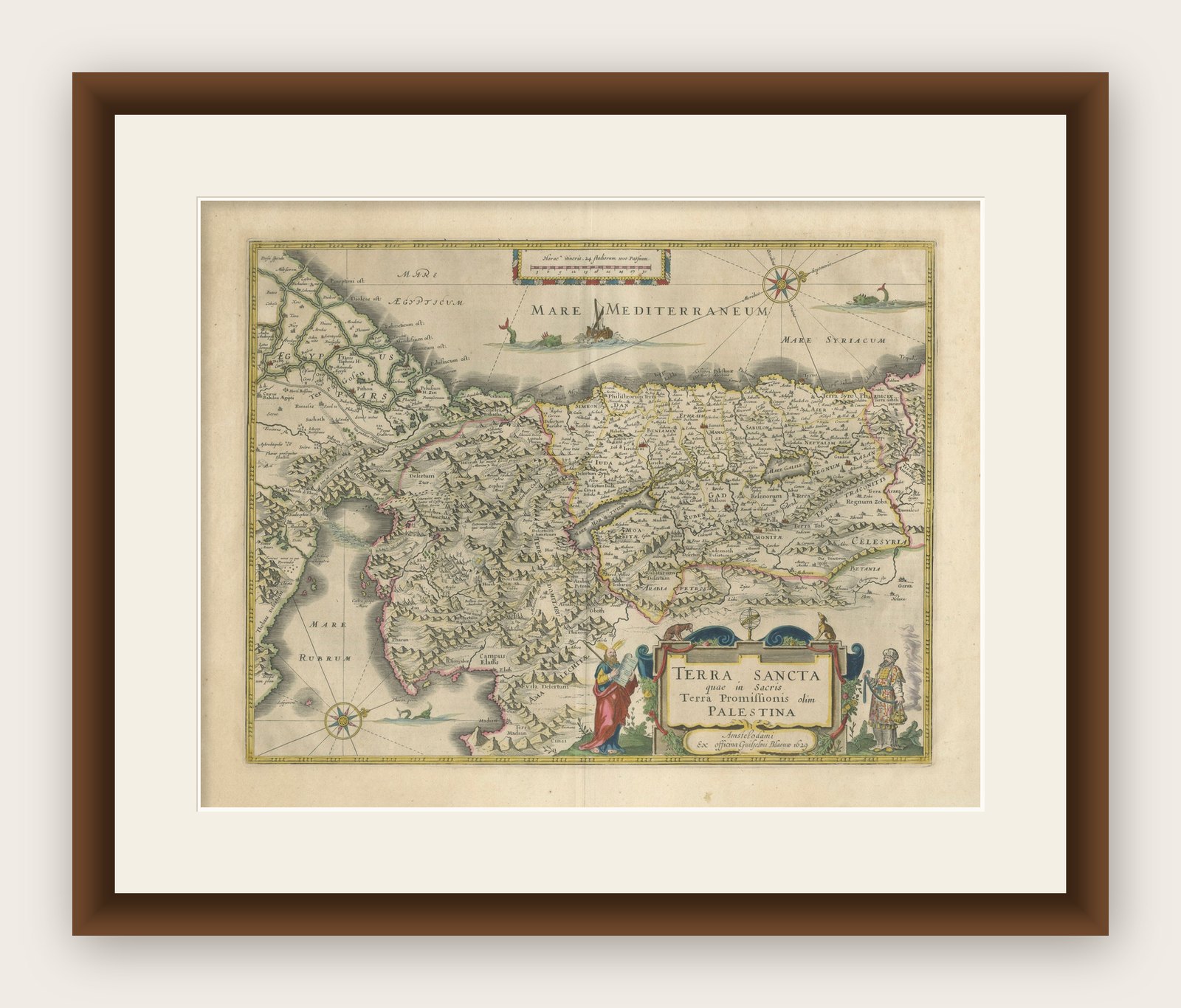
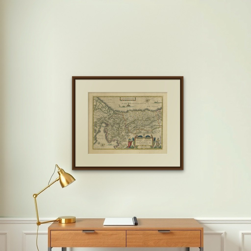

Frame and rooms are illustrations of how the print could look, drawn to its real size; it is sold unframed unless the description says otherwise.
The Holy Land
Antique Blaeu Holy Land Map, Terra Sancta Palestina, 1629
Anno Domini MDCXXIX1629
$3,890
€3,450 · £2,930
Original print, not a reproduction
Ships worldwide from the Netherlands, flat, insured and tracked. 14-day returns. To buy, use Ask a question (info@antiquesacredprints.com) and we will reserve it for you.
- Date
- 1629
- Sheet size
- 19.1 × 24.5 in (48.4 × 62.3 cm)
- Condition
- Good. Good antique condition with original center fold as issued. Light age toning and occasional minor spotting consistent with age. Original hand coloring. Strong dark impression with wide margins.
- Faith
- Christianity, Judaism
- Collection
- The Holy Land
- Era
- Before 1700, Woodcuts and the great atlases
- Stock no.
- f_50194942
Antique Blaeu Holy Land Map, Terra Sancta Palestina, 1629
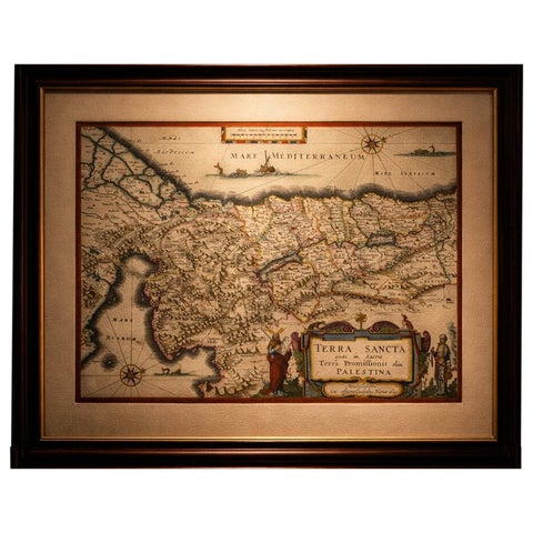
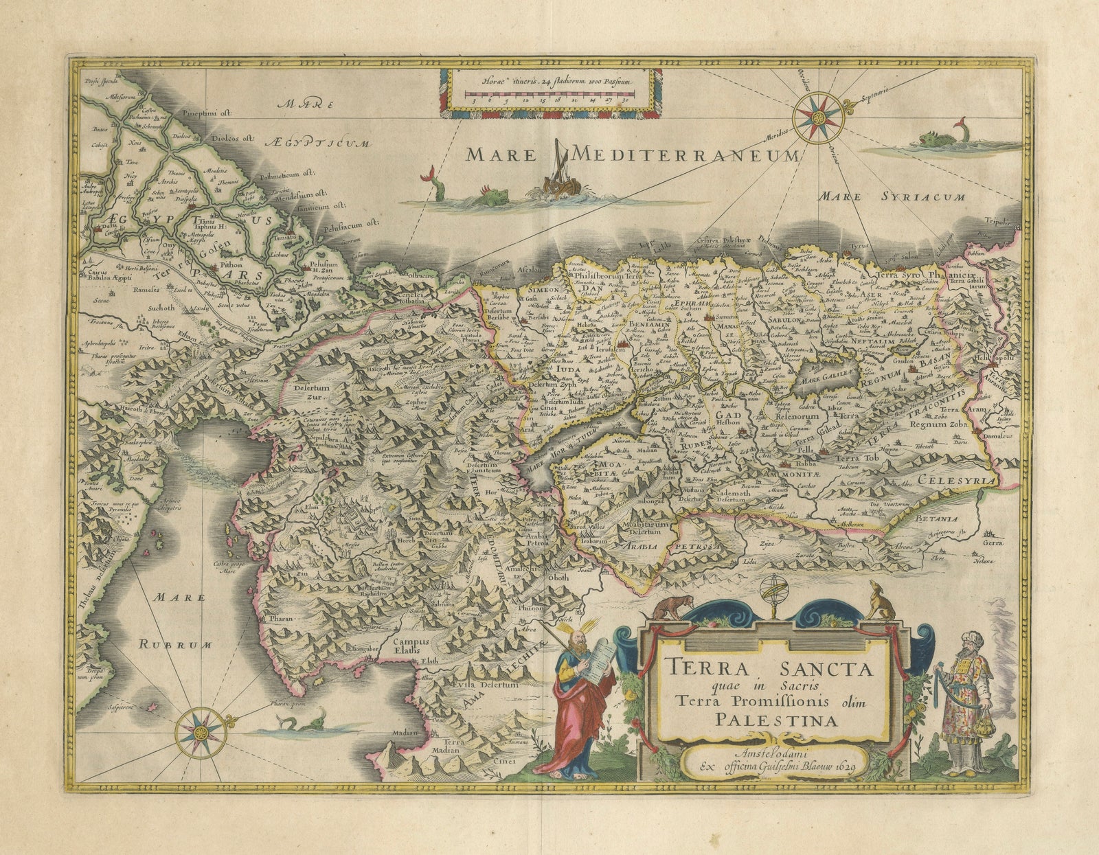
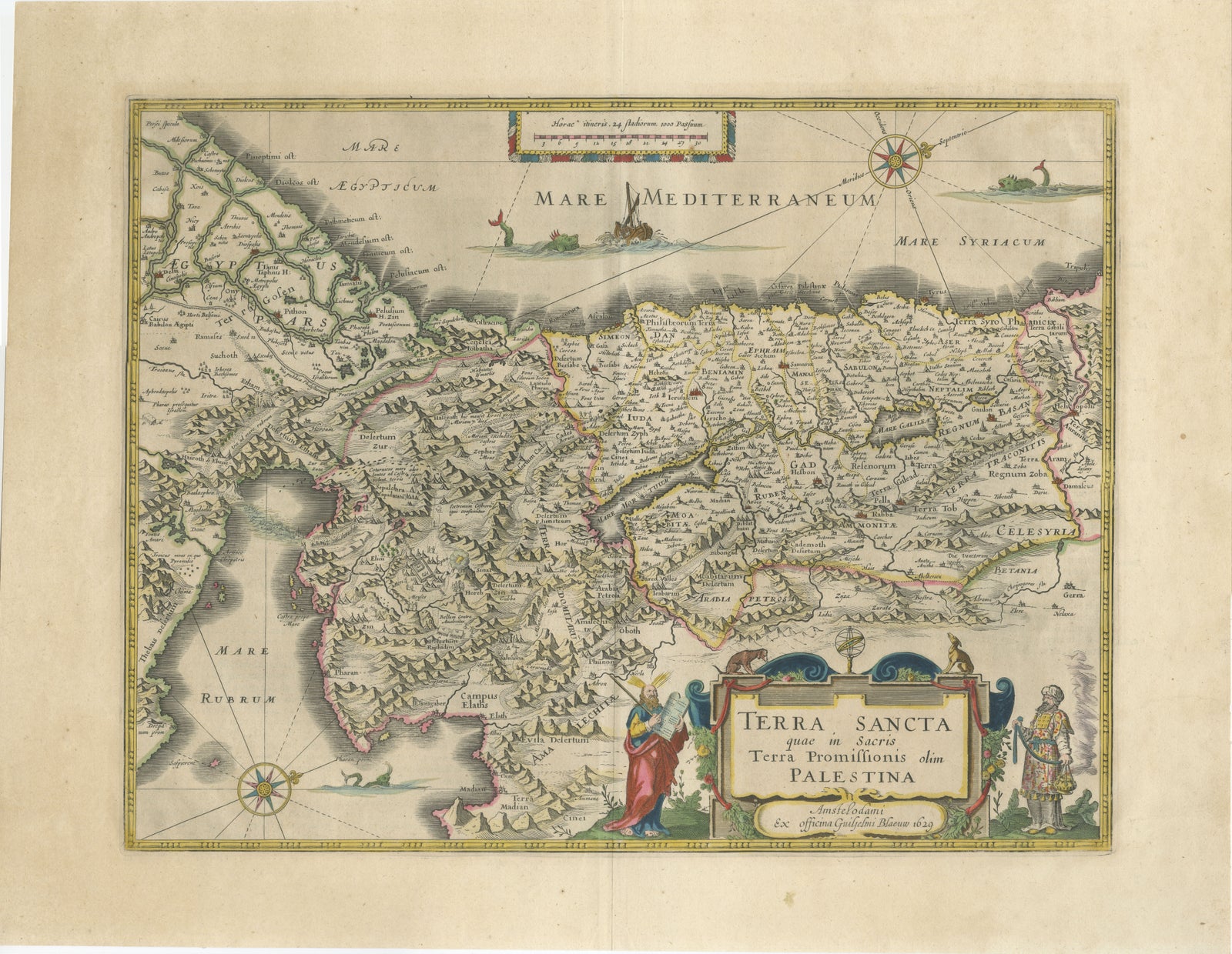
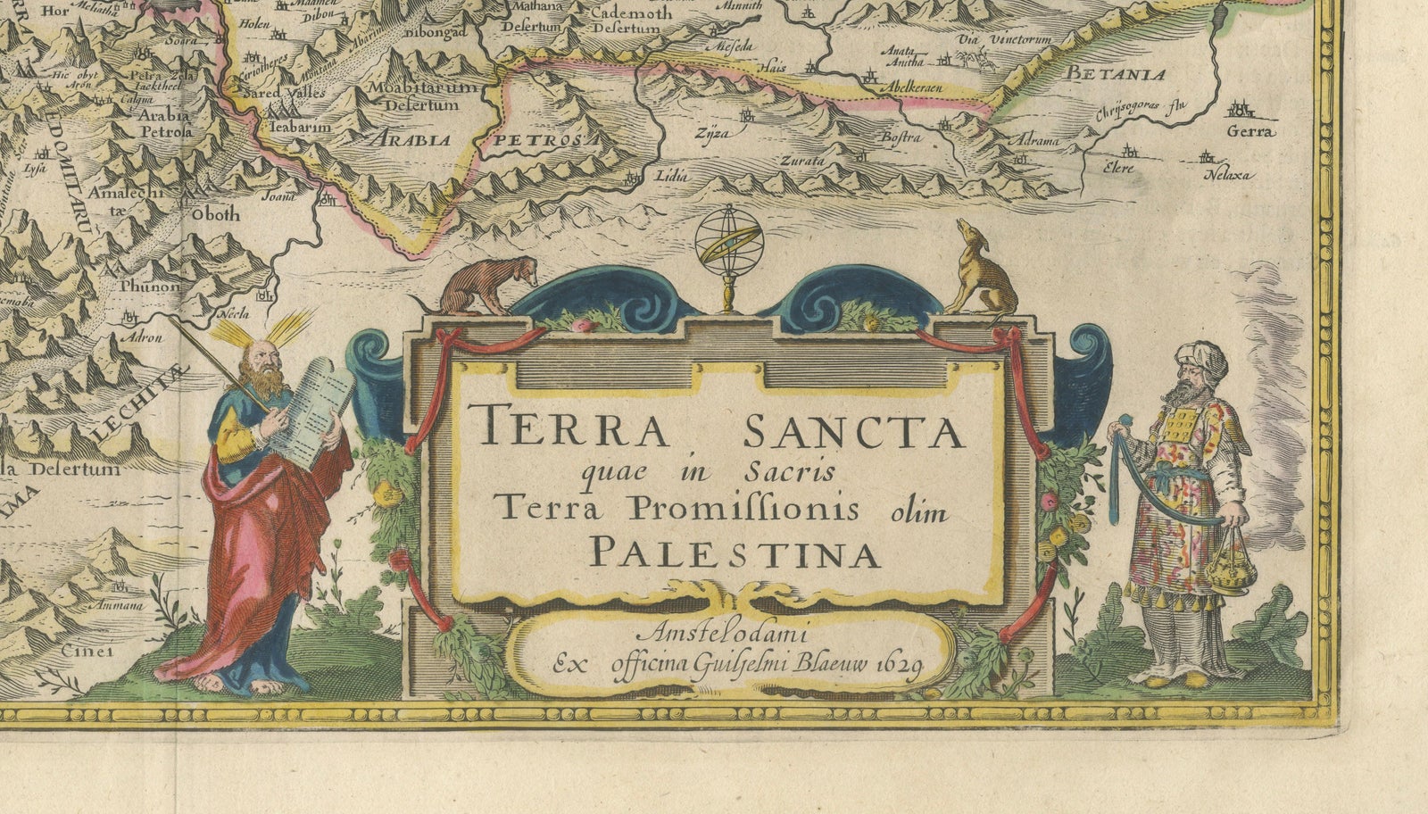
A beautifully engraved and finely hand-colored early 17th-century map of the Holy Land and the biblical lands of ancient Israel, published by Willem Janszoon Blaeu in Amsterdam in 1629. This richly detailed copper-engraved map, titled Terra Sancta quae in Sacris Terra Promissionis olim Palestina, is among the most decorative and sought-after Holy Land maps produced during the Dutch Golden Age of cartography.
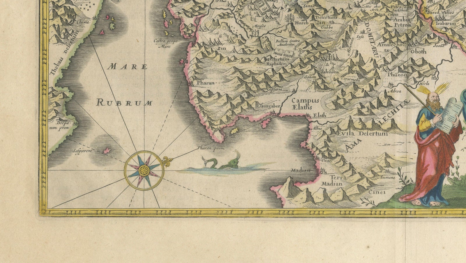
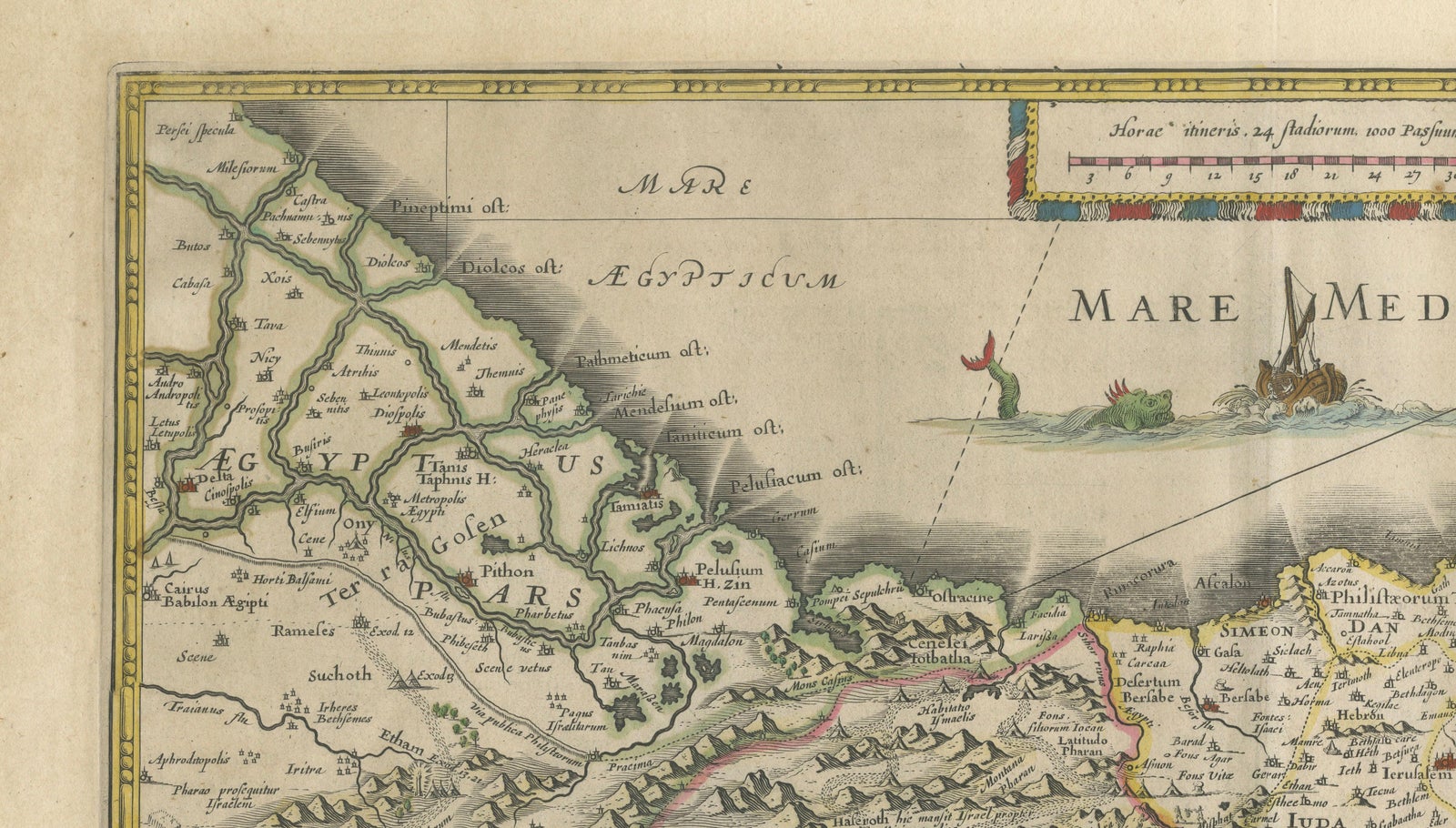
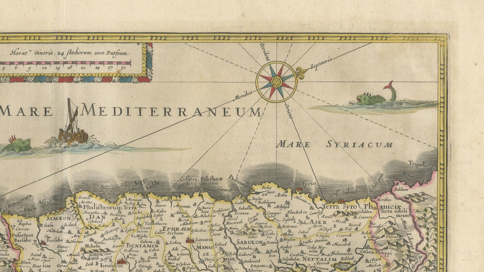
The map depicts the geography of biblical Palestine, extending from the Nile Delta and Egypt to the eastern territories beyond the Jordan River, including Jerusalem, Judea, Samaria, Galilee, the Dead Sea, and the surrounding tribal regions of ancient Israel. Mountains are dramatically rendered in Blaeu’s characteristic stylized relief, while rivers, cities, caravan routes, and sacred locations are meticulously engraved throughout the composition.
Particularly attractive is the elaborate title cartouche in the lower right corner, decorated with biblical figures including Moses holding the Tablets of the Law, alongside another richly dressed figure representing the peoples of the Holy Land. Compass roses, sea monsters, sailing vessels, and decorative maritime embellishments animate the Mediterranean and Red Seas, adding strong decorative appeal.
This map was engraved after earlier cartographic sources by Christian van Adrichom and became one of the most influential and visually refined depictions of the Holy Land of its period. Blaeu’s maps were prized throughout Europe for their scientific quality, artistic engraving, and luxurious coloring, and they formed the centerpiece of some of the most prestigious atlases ever produced.
Examples of Blaeu Holy Land maps remain highly desirable among collectors of biblical cartography, early Dutch maps, and decorative antique prints. The combination of historical significance, visual richness, and strong decorative character makes this piece particularly suitable for libraries, studies, classic interiors, or sophisticated contemporary spaces.
The map displays exceptionally well in dark walnut, black lacquer, or lightly gilt frames paired with a wide ivory or oatmeal mat.
Condition: Good antique condition with original center fold as issued. Light age toning and occasional minor spotting consistent with age. Original hand coloring. Strong dark impression with wide margins.
The map is an original 17th-century copper engraving, not a reproduction. All items we offer are authentic period works of art over 100 years old. The piece is sold unframed; any framed images are shown for presentation and interior inspiration only and may not always be to scale.
Keywords: Holy Land map, Palestine map, Terra Sancta, Israel tribes, Jerusalem, Judea, Samaria, Galilee, Willem Blaeu, Blaeu Holy Land, biblical map, Dutch Golden Age cartography, antique Bible map, 17th century map, Levant map, Moses, cartouche, Amsterdam engraving, decorative map, Judaea, Palestine antiquarian map
Technique: Copper engraving with original hand coloring
Maker: Willem Janszoon Blaeu, Amsterdam, 1629
Explore