Close-ups
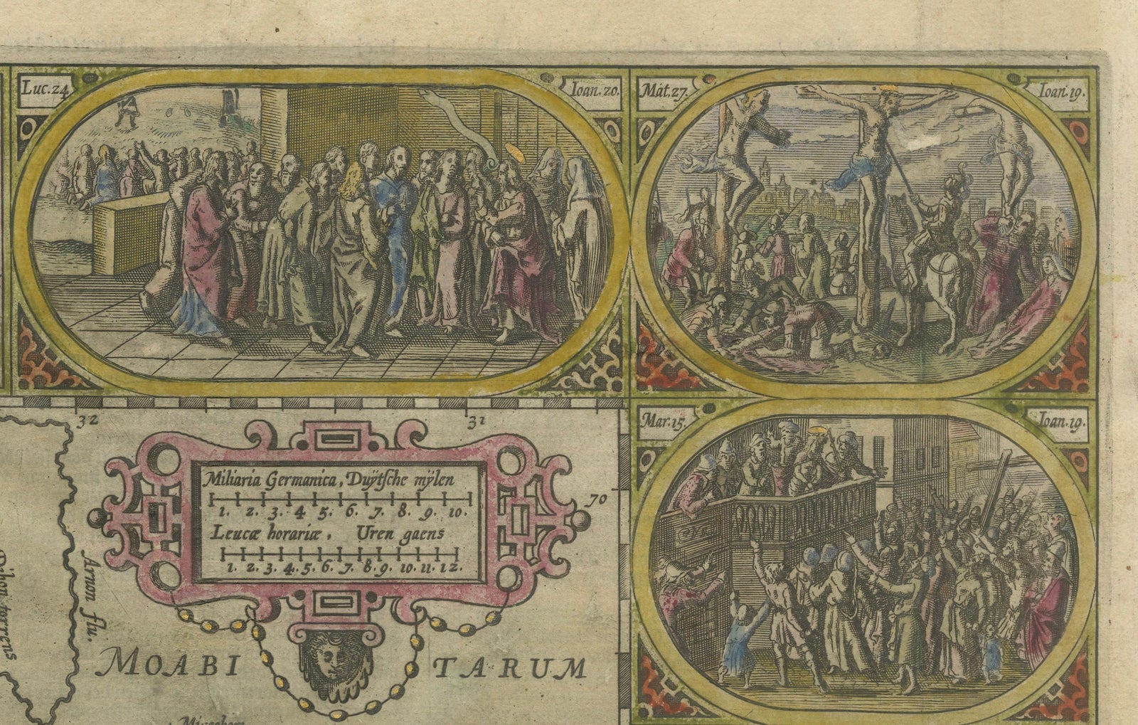
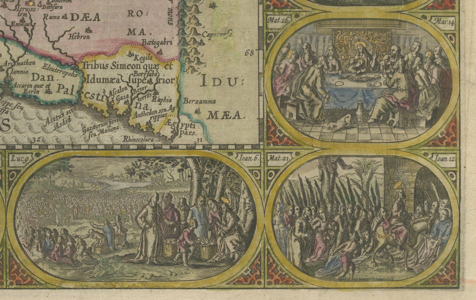
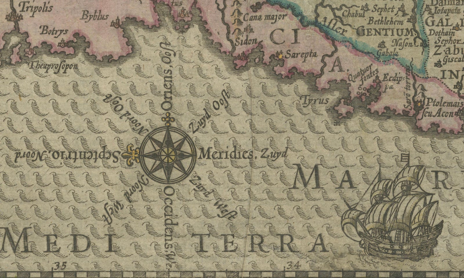
Framed and on the wall
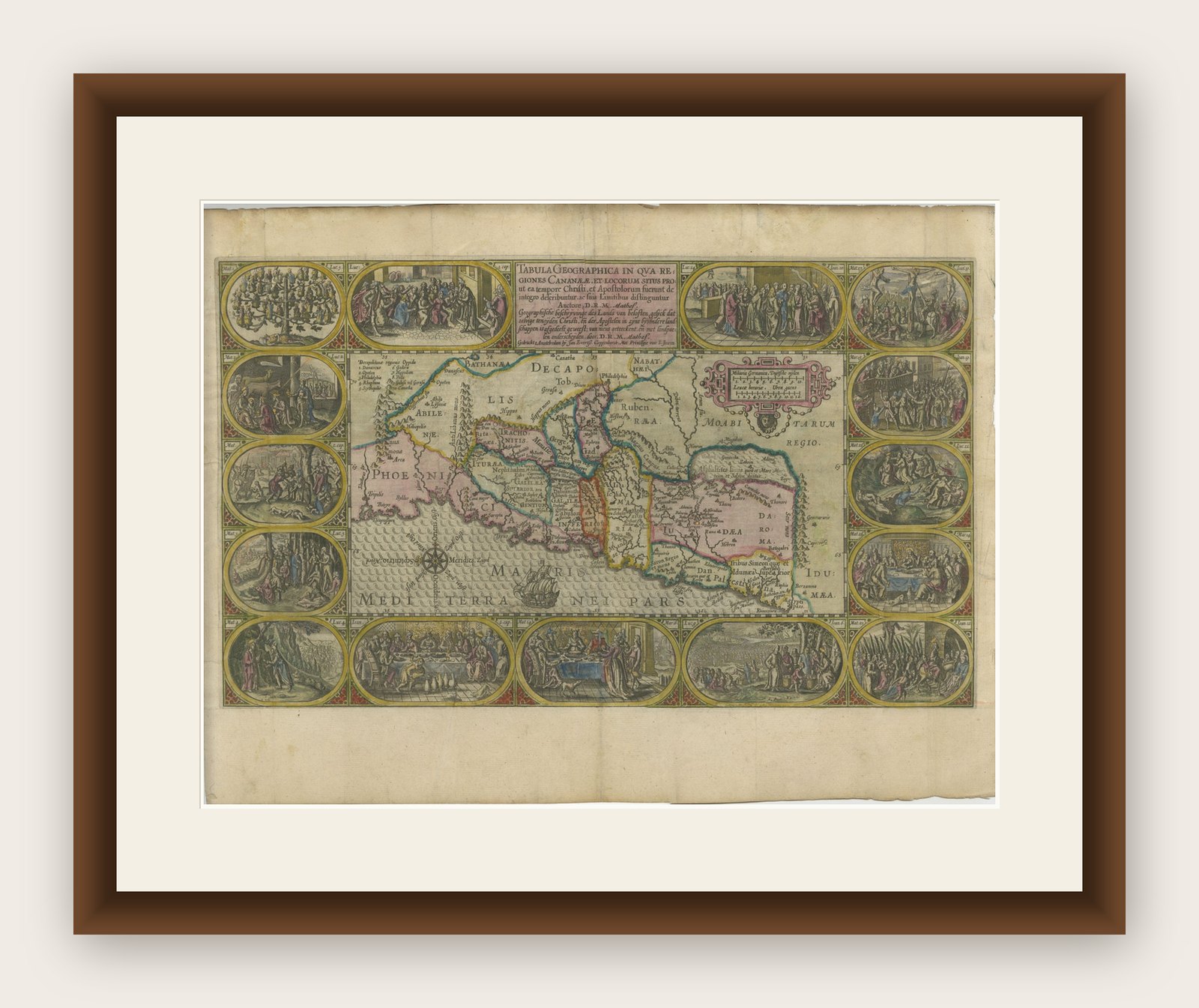

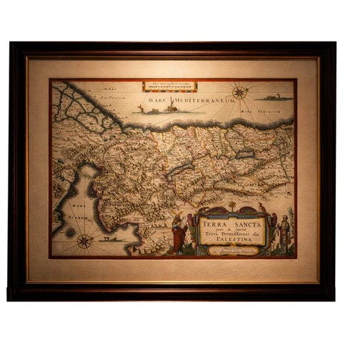
Frame and rooms are illustrations of how the print could look, drawn to its real size; it is sold unframed unless the description says otherwise.
The Holy Land
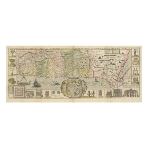
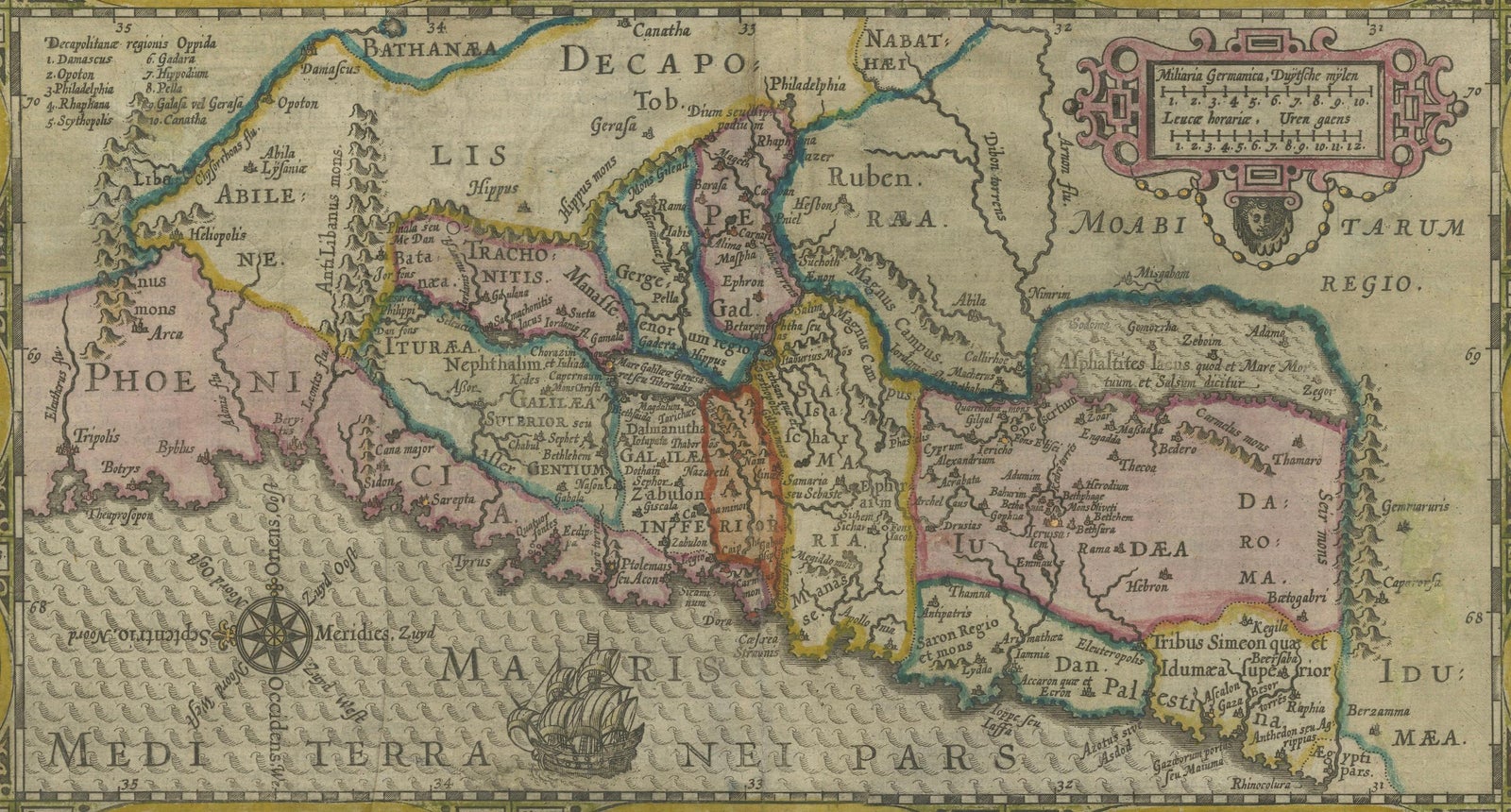
1625 Petrus Plancius / Cloppenburg Map of the Holy Land with Biblical Vignettes
Anno Domini MDCXXV1625
$1,070
€950 · £805
Original print, not a reproduction
Ships worldwide from the Netherlands, flat, insured and tracked. 14-day returns. To buy, use Ask a question (info@antiquesacredprints.com) and we will reserve it for you.
- Date
- 1625
- Sheet size
- 15.4 × 20.5 in (39 × 52 cm)
- Condition
- Good. Good condition for its age, with vibrant coloring and intact vignettes. Minor toning and light folds are present but do not impact the overall integrity or display quality of the piece. Some repairs on the reverse.
- Faith
- Christianity, Judaism
- Collection
- The Holy Land
- Era
- Before 1700, Woodcuts and the great atlases
- Stock no.
- f_42590142
1625 Petrus Plancius / Johannes Cloppenburg Map of the Holy Land with Biblical Vignettes
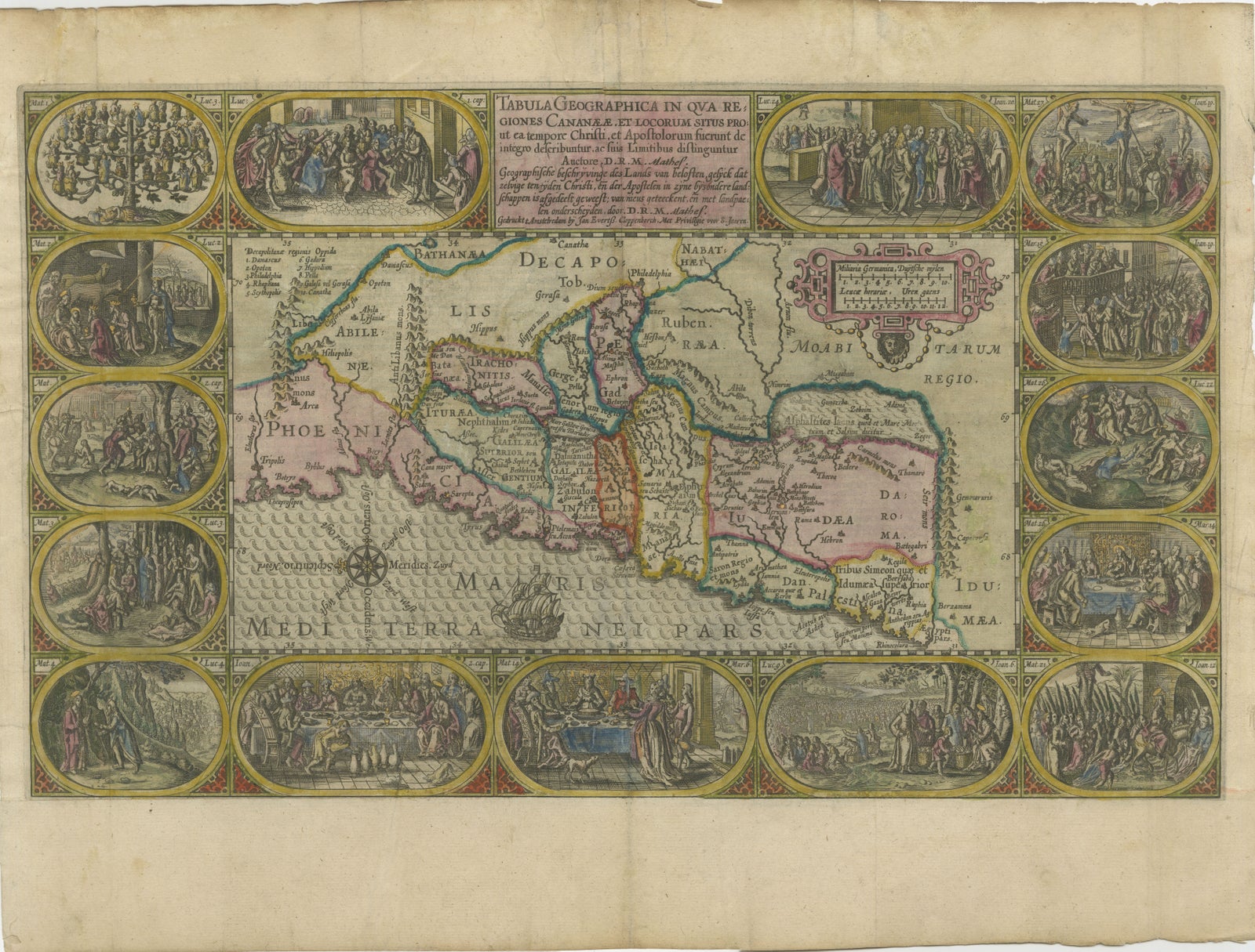
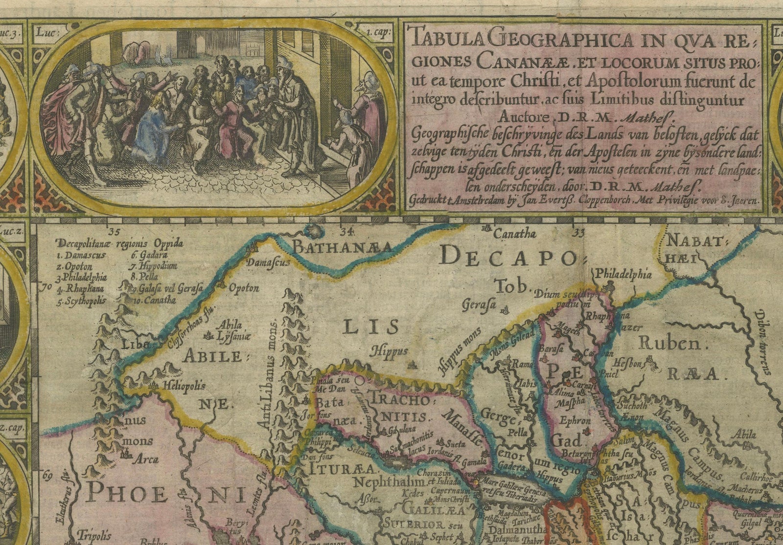
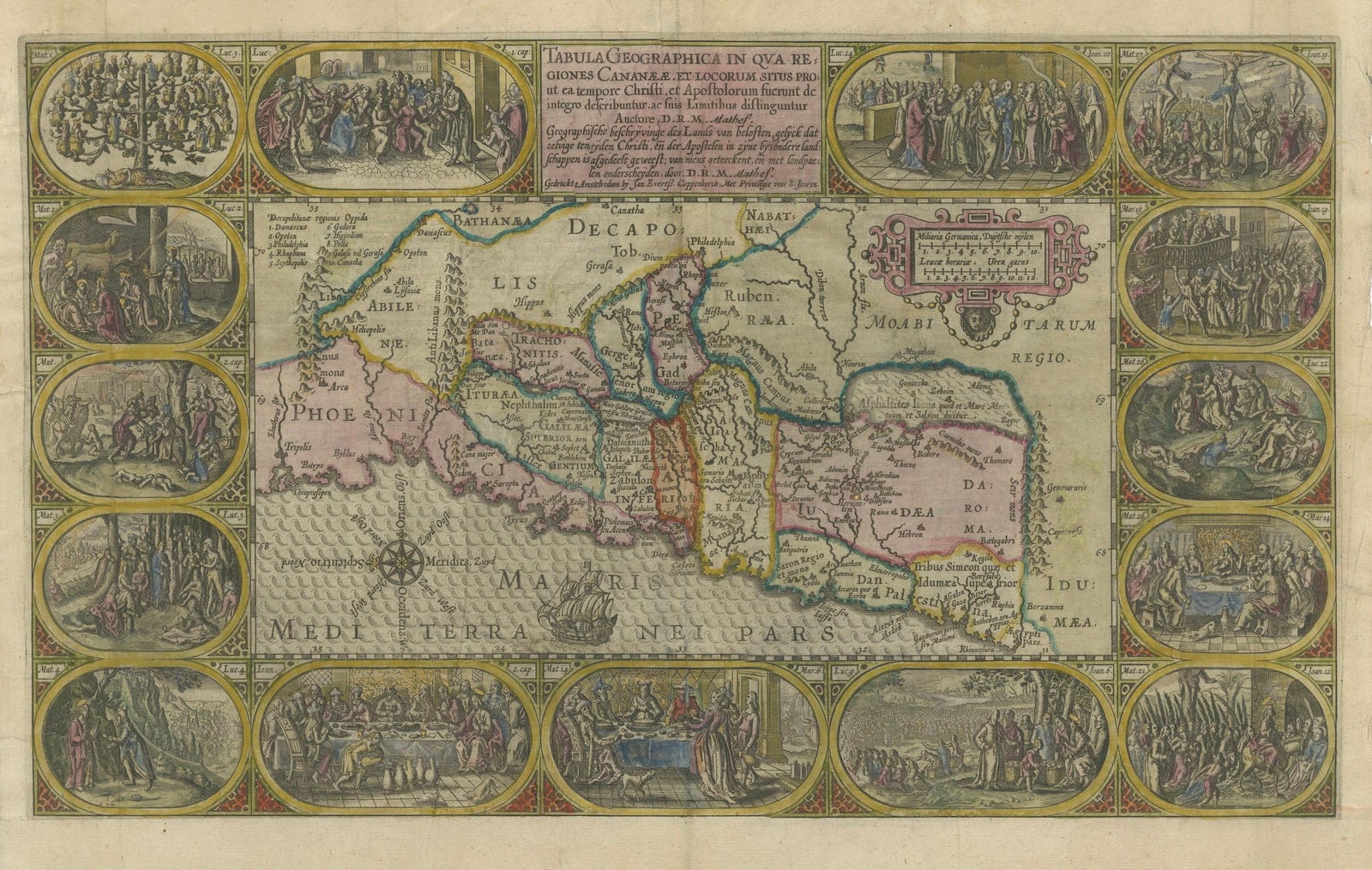
This exquisite 1625 map by Petrus Plancius and Johannes Cloppenburg represents the Holy Land during the time of Christ, highlighting Canaan's political divisions. Originally designed to accompany a Dutch Bible, the map is adorned with 15 detailed vignettes depicting significant events from the life of Christ, from his genealogy to his resurrection appearances.
The map's decorative elements include a strapwork cartouche, a sailing ship, and a compass rose that orients north to the left. This is the second state of Plancius' series, with the addition of D.R.M. Mathes to the imprint, indicative of its later edition.
The map was part of the second series of Dutch Bible maps by Plancius, first published in 1604 by Johannes Cloppenburg. This series was notable for its use of art to enhance the understanding of biblical texts. Baptista van Deutecum, along with engravers Daniel van Bremden and Pieter Bast, contributed to the engraving, ensuring that the updated series retained artistic charm while adding greater geographical accuracy. The map is not only a cartographic representation of the Holy Land but also an artistic celebration of key moments from the life of Christ.
The detailed hand coloring adds to its visual appeal, making it an important artifact for understanding how early modern cartographers connected geography with biblical narratives.
Condition Report:
The map is in good condition with some age-related wear typical of its age.
Paper Quality: The paper is stable with no significant damage, though some minor toning is present, particularly along the edges, consistent with its age.
Coloring: The hand coloring remains vibrant and well preserved, enhancing the visual appeal of both the map and the surrounding vignettes.
Edges and Margins: The margins are generally intact with some minor creasing and slight toning. There are no significant tears or repairs visible along the edges.
Folds and Creases: Light folds are visible, likely due to its original binding or storage. These folds are not heavily worn and do not detract from the map's overall aesthetic.
Vignettes and Detail: The 15 biblical vignettes are clear and detailed, without significant fading or smudging.
Verso: The Dutch text on the verso is intact and readable, with minimal bleed-through that does not affect the front.
Summary: Overall, this map is in good condition for its age, with vibrant coloring and intact vignettes. Minor toning and light folds are present but do not impact the overall integrity or display quality of the piece.
Explore