Close-ups
Framed and on the wall
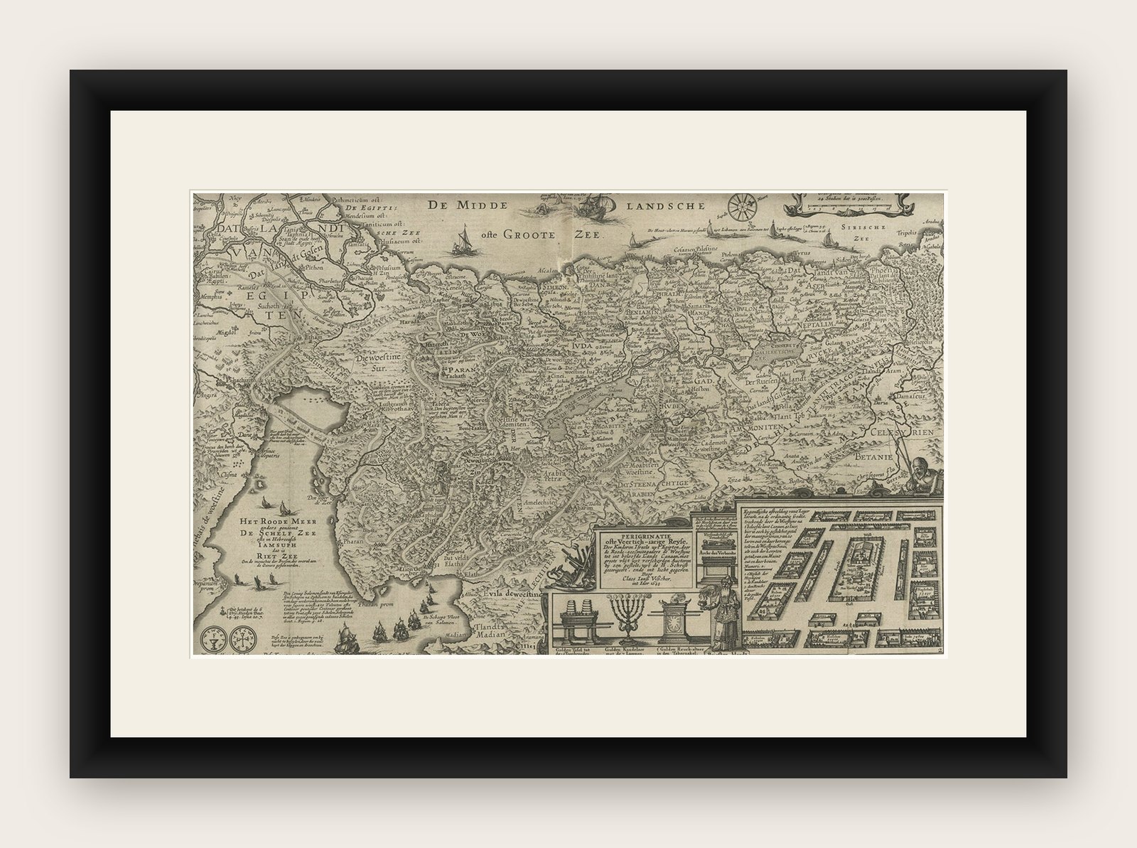

Frame and rooms are illustrations of how the print could look, drawn to its real size; it is sold unframed unless the description says otherwise.
The Holy Land
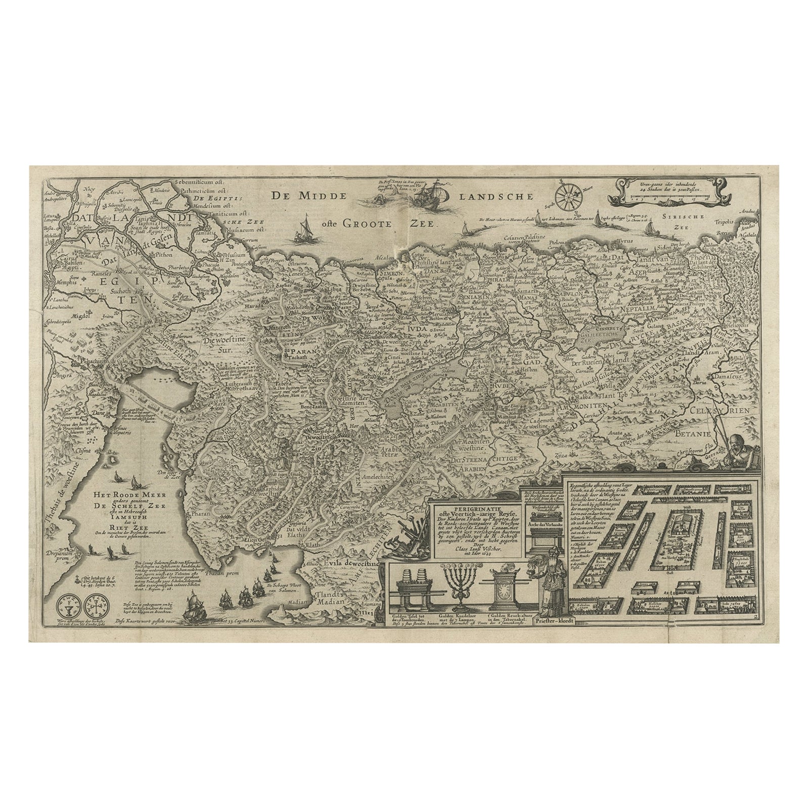
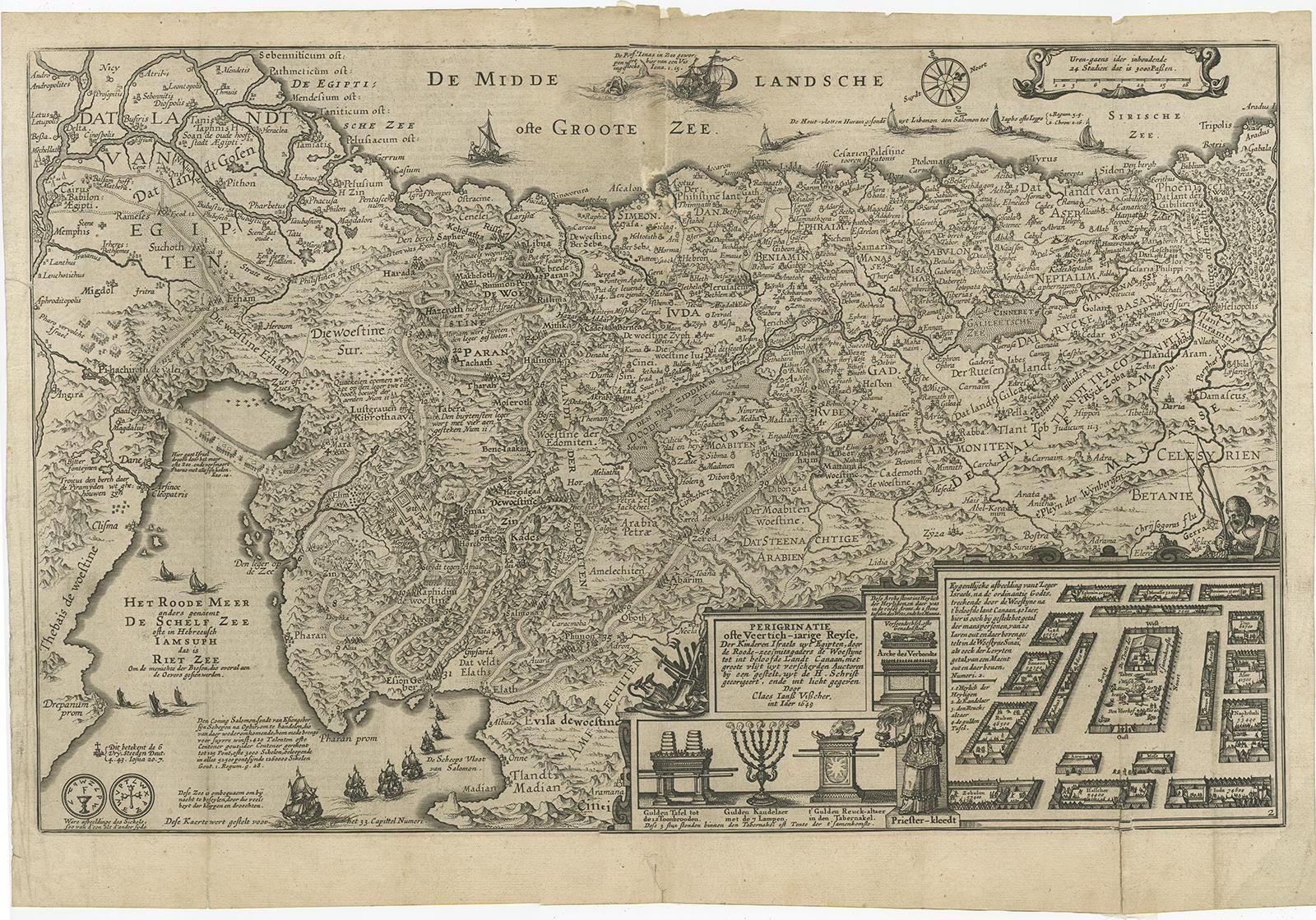
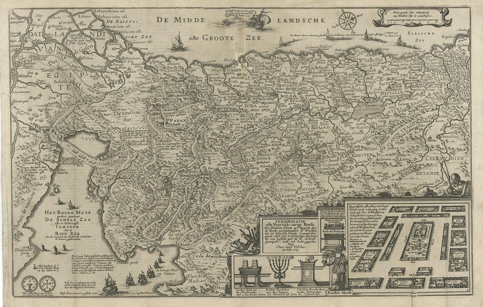
Beautiful Rare Antique Map of the Holy Land, 1648
Anno Domini MDCXLVIII1648
$945
€840 · £715
Original print, not a reproduction
Ships worldwide from the Netherlands, flat, insured and tracked. 14-day returns. To buy, use Ask a question (info@antiquesacredprints.com) and we will reserve it for you.
- Date
- 1648
- Sheet size
- 13.6 × 19.9 in (34.5 × 50.5 cm)
- Condition
- Good. Given age. Some tears and repairs, mainly on folding lines. Dutch text on verso, please study image carefully.
- Faith
- Christianity, Judaism
- Collection
- The Holy Land
- Era
- Before 1700, Woodcuts and the great atlases
- Stock no.
- f_27386542
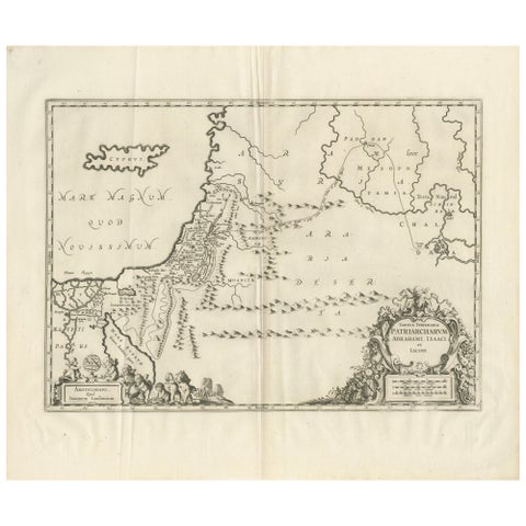
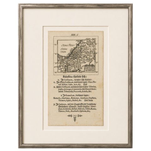
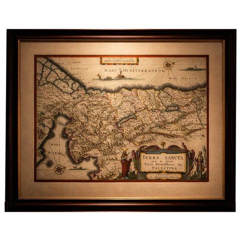
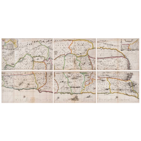
Antique map Holy Land titled 'Perigrinatie ofte Veertich-Iarige Reyse, der kinderen Israels uyt Egipten, door de Roode-Zee; mitsgaders de Woestyne tot int Beloofde Landt Canaan, : met groote vlyt uyt verscheryden auctoren by een gestelt, uyt de H. Schrift gecorigeert, ende int licht gegeven'.
Beautiful and rare antique map of the Holy Land. Shows Exodus and wanderings of children of Israel across Red Sea, Sinai, and to Jericho.
Artists and Engravers: Claes Janszoon Visscher (1587-1652) was a Dutch Golden Age draughtsman, engraver, mapmaker and publisher.
Explore