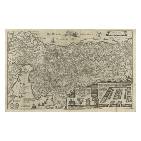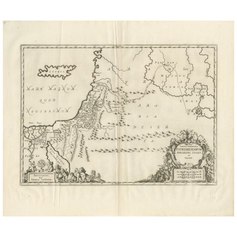
Close-ups
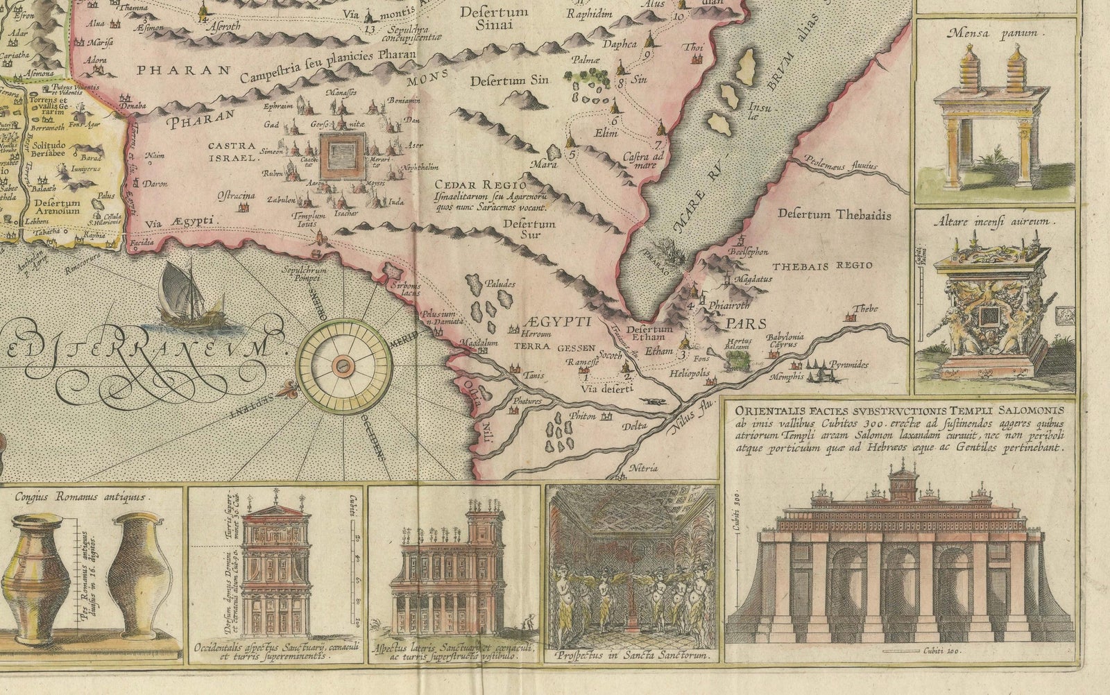
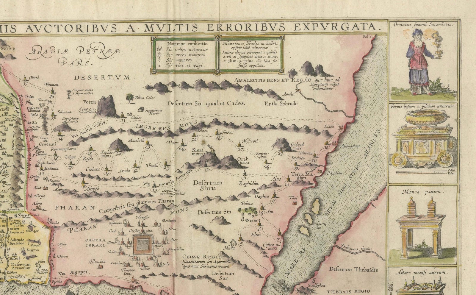
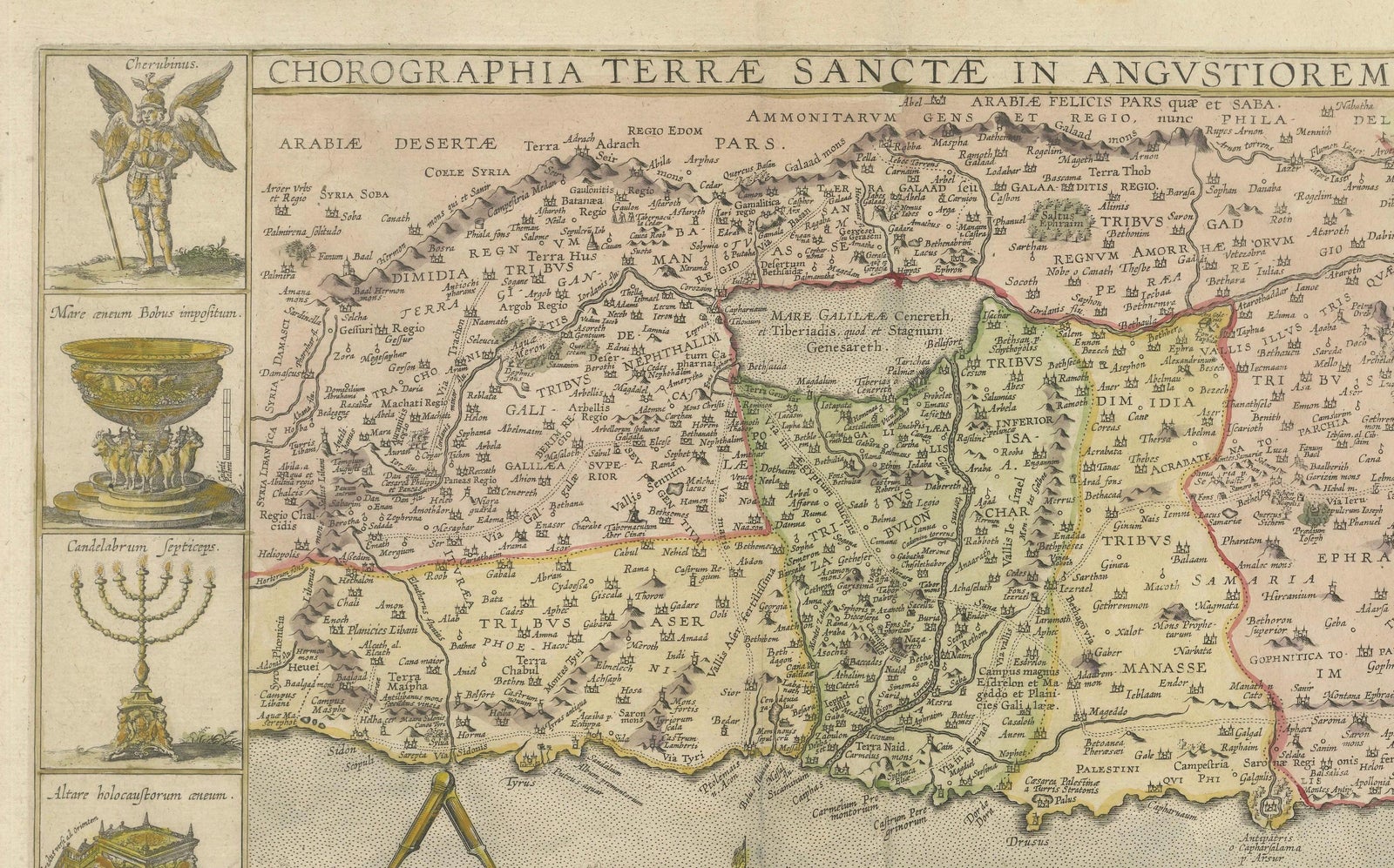
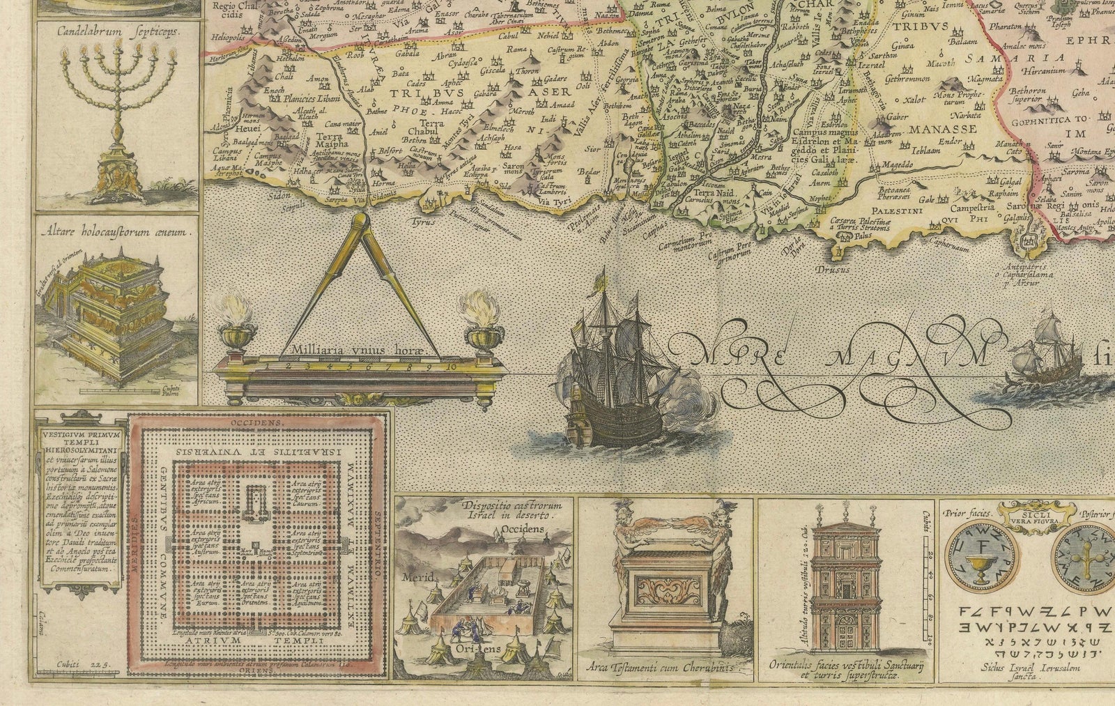
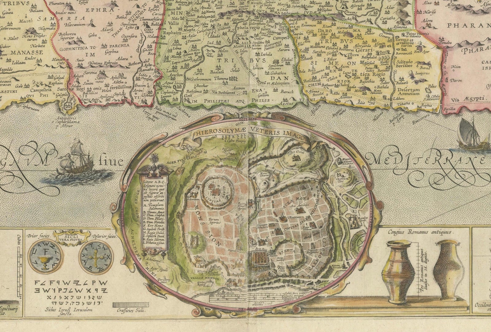
Framed and on the wall
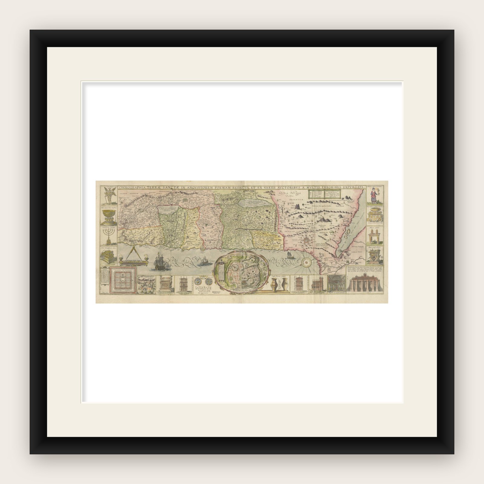
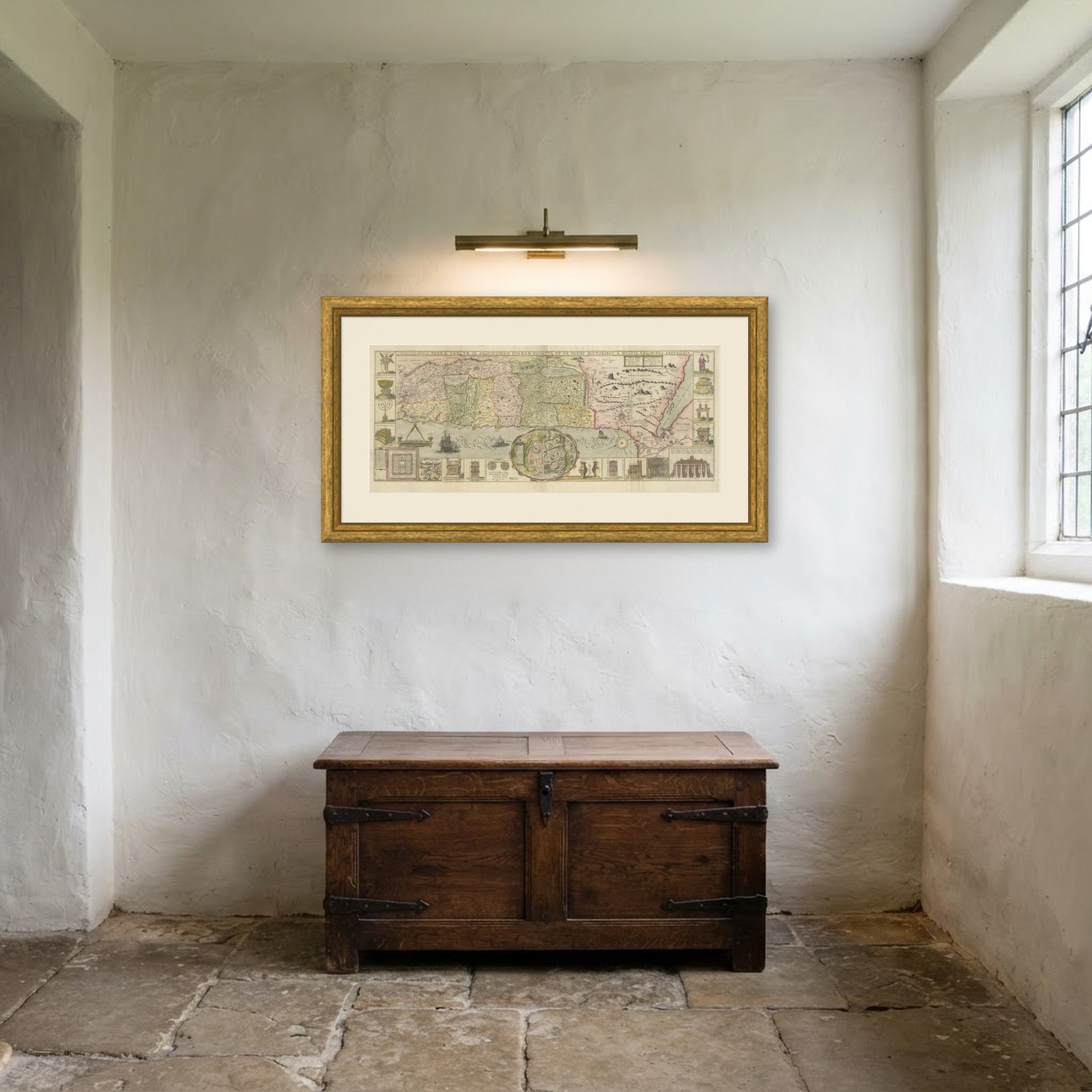
Frame and rooms are illustrations of how the print could look, drawn to its real size; it is sold unframed unless the description says otherwise.
The Holy Land
1632 Decorative Map of the Holy Land, Insets of Jerusalem and Biblical Artefacts
Anno Domini MDCXXXII1632
£1,340£1,07020% off
$1,405 · €1,280
Original print, not a reproduction
Ships worldwide from the Netherlands, flat or rolled, insured and tracked. 14-day returns.
- Date
- 1632
- Sheet size
- 15.4 × 34.1 in (39.2 × 86.7 cm)
- Condition
- In good condition with vibrant hand-coloring. Top margins a bit brownish but not touching the image, leaving it perfectly well for framing. No significant tears or repairs but folds as issued and sheets professionally joined together.
- Faith
- Christianity, Judaism
- Collection
- The Holy Land
- Era
- Before 1700, Woodcuts and the great atlases
- Stock no.
- BHZ16131
What the condition grades mean
- Excellent
- Bright and clean, with no faults worth mentioning.
- Very good
- Only light signs of age, such as faint toning.
- Good
- Normal signs of age for a sheet of this period: toning, some foxing, small marks or neat old repairs.
- Fair
- Clear faults such as staining, tears or repairs, priced to match.
Every fault we see is written in the condition note, and the whole sheet is shown uncropped in the photos.
Title: 1632 Decorative Map of the Holy Land with Insets of Jerusalem and Biblical Artefacts
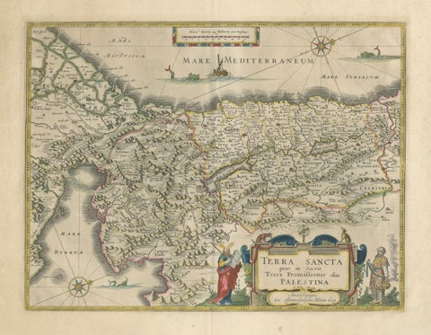
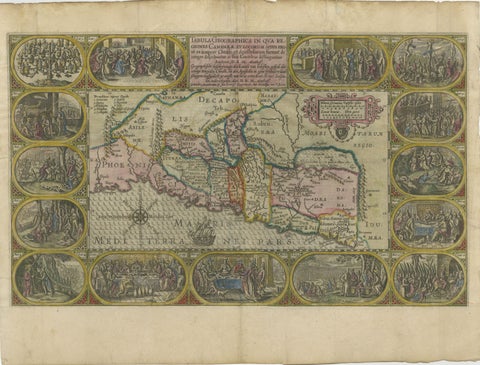
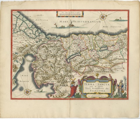
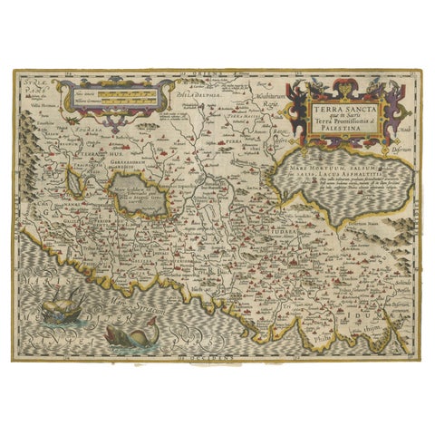
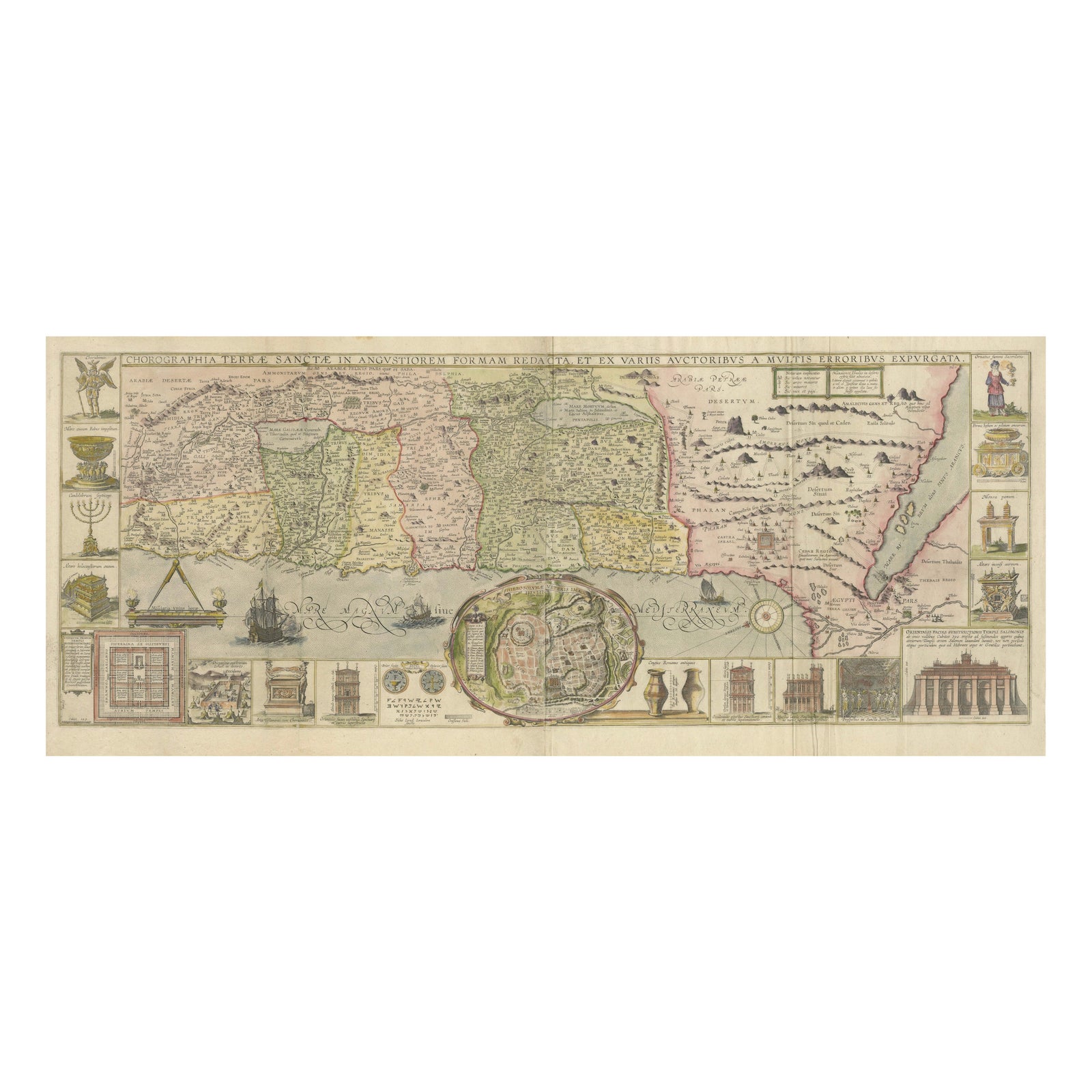
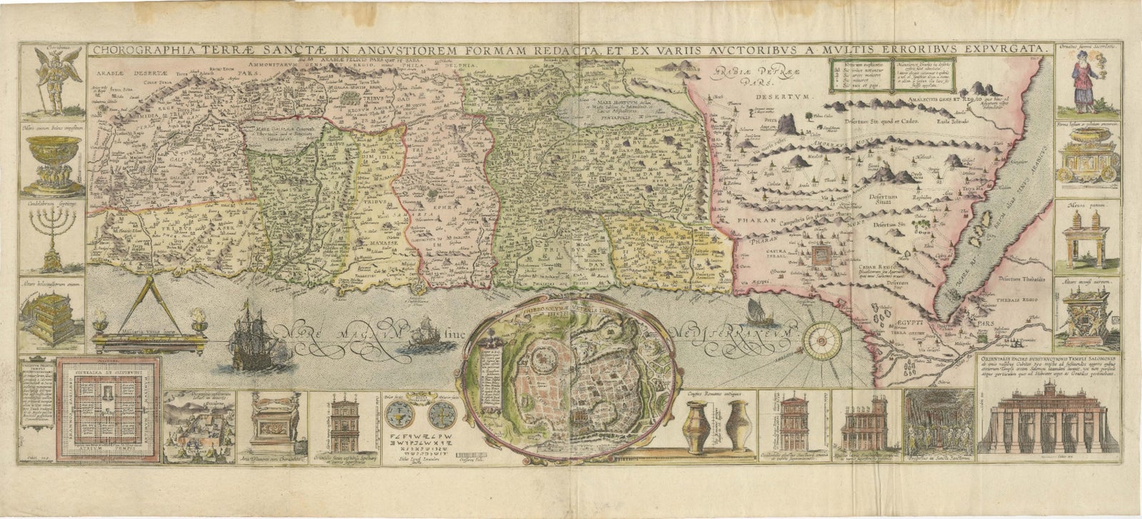
Description: This richly detailed map of the Holy Land, published in 1632, offers a fascinating view of the biblical regions of Israel and surrounding areas. The map, titled "Chorographia Terrae Sanctae," provides a meticulous layout of the Twelve Tribes of Israel, desert areas, and key biblical landmarks. It is embellished with stunning hand-colored illustrations and numerous insets, including a detailed plan of Jerusalem, depictions of Solomon’s Temple, the Tabernacle, and sacred religious artifacts like the Ark of the Covenant and the Menorah.
Alongside its geographic representation, the map includes elaborate allegorical scenes and ships sailing in the Mediterranean, adding both a decorative and historical dimension. Its design reflects the cartographic artistry of the 17th century, blending precision with artistic flair. Produced during the Counter-Reformation, it was intended not only as a geographical reference but also as a visual tool for understanding the biblical narrative and the spiritual significance of the Holy Land.
Engraved using copperplate techniques, the map showcases exceptional craftsmanship, with intricate detailing and vibrant original hand-coloring that brings the historical and biblical scenes to life. It is a rare and valuable artifact, appealing to collectors of historical maps, religious iconography, and 17th-century cartographic works.
Matting and Framing Tips: Use acid-free matting and UV-protective glass to preserve its colors and paper. Pair with a wide, gold-accented frame to enhance its decorative and historical significance. Ensure proper spacing between the glass and the map to prevent damage. Display in a location away from direct sunlight and high humidity to maintain its pristine condition.
Explore