The Twelve Tribes of Israel
Maps of the Holy Land divided among the Twelve Tribes of Israel, the most popular Bible map from the 16th to the 19th century, by Jansson, Sanson, Covens and Mortier, Chatelain and others.
18 prints
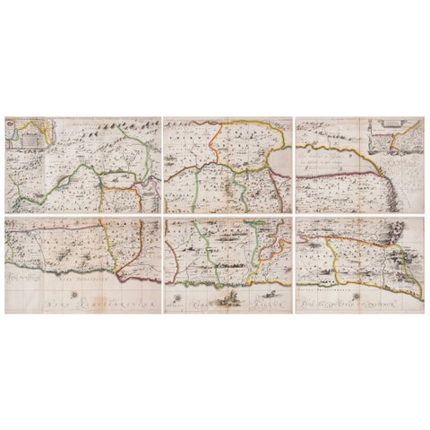
The Holy Land · MDCLVIII
1658 Large Map of the Holy Land by Jansson, Twelve Tribes of Israel in 6 Sheets
1658 · 47 × 71.5 cm£3,100
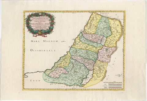
The Holy Land · MDCXCVI
Holy Land Map of the Twelve Tribes of Israel, Sanson, Hand Colored, 1696
1696 · 69 × 47.7 cm£1,590£1,27520% off
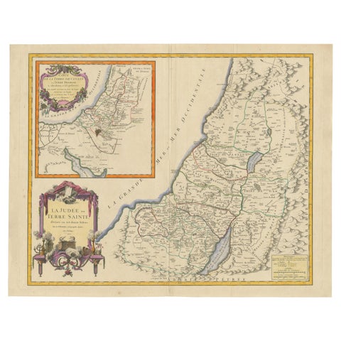
The Holy Land · MDCCL
1750 Map of the Holy Land: The Land of Canaan and the Twelve Tribes
1750 · 66.5 × 52.3 cm£1,340£1,07020% off
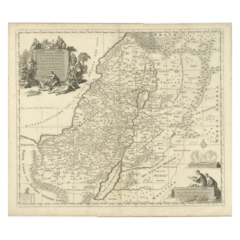
The Holy Land · MDCC
Antique Holy Land Map, Twelve Tribes of Israel, Covens & Mortier, c.1700
1700 · 47 × 40 cm£1,005£80520% off
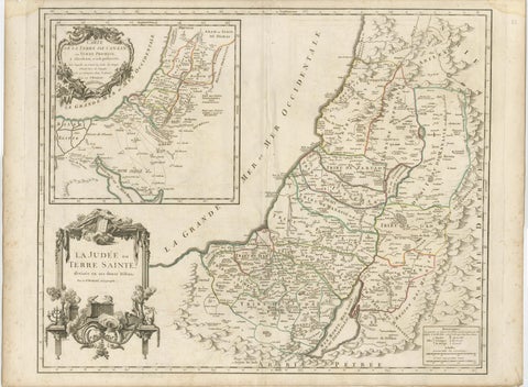
The Holy Land · MDCCL
Antique French Map of the Holy Land, Twelve Tribes of Israel, c.1750
1750 · 68 × 51 cm£920£73520% off
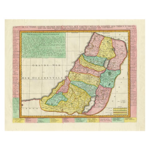
The Holy Land · MDCCXXXII
1732 Henri Chatelain Map of the Holy Land Divided Among the Tribes of Israel
1732 · 63 × 55 cm£830£58030% off
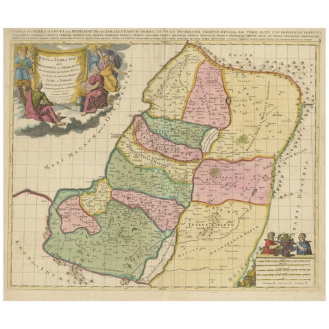
The Holy Land · MDCLXXX
Judaea or Terra Sancta, Twelve Tribes of Israel, Sanson Map, c.1680
1680 · 58 × 48.5 cm£660£46530% off
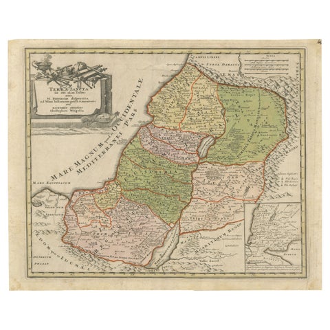
The Holy Land · MDCCXVIII
1718 Holy Land Map, Twelve Tribes, Six Provinces, Hand-Colored, Antique Map
1718 · 44 × 35.5 cm£595£41530% off
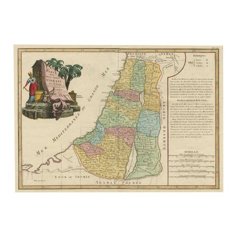
The Holy Land · MDCCLXXXII
Original Rare Map of the Holy Land Showing the Twelve Tribes of Israel's, 1782
1782 · 54.8 × 37.5 cm£580£40530% off
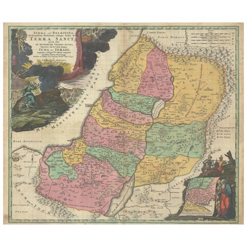
The Holy Land · MDCCXX
Hand-Colored Map of the Holy Land Divided Among the Twelve Tribes, c.1720
1720 · 57.2 × 49 cm£535£37530% off
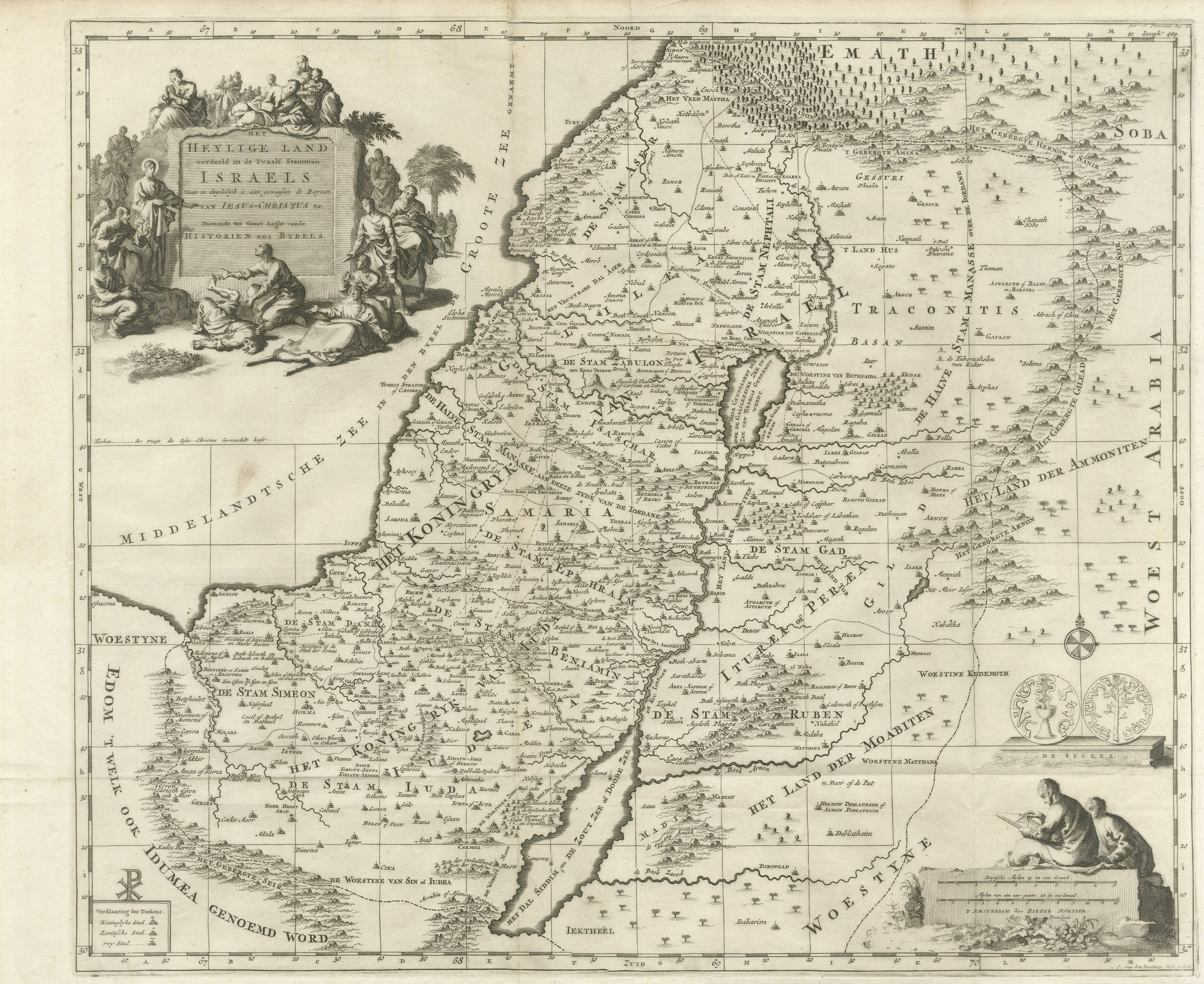
The Holy Land · MDCC
The Holy Land Divided into the Twelve Tribes of Israel, Mortier, 1700
circa 1700 · 51 × 42 cm£475£33530% off
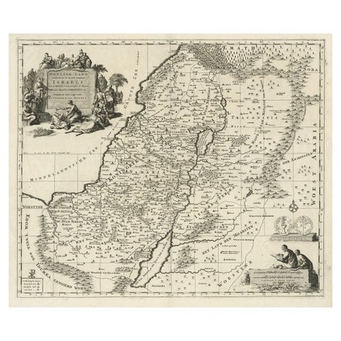
The Holy Land · MDCCXX
Highly Detailed Antique Map of the Holy Land Showing 12 Tribes of Israel, c.1720
1720 · 51.5 × 45 cm£400£28030% off
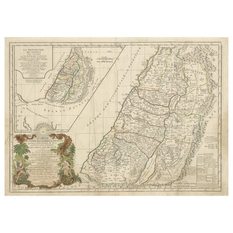
The Holy Land · MDCCXCVIII
Holy Land Map of the Twelve Tribes of Israel, After Sanson, Paris c.1798
1798 · 69 × 49 cm£400£28030% off
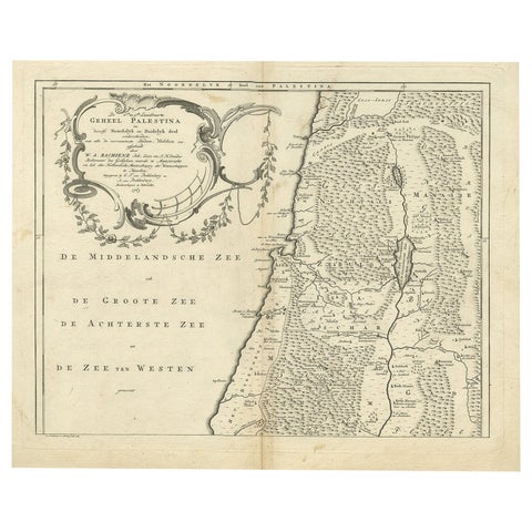
The Holy Land · MDCCLXIII
Antique Map of Northern Palestine with The Tribes of Israel. Dutch, 1763
1763 · 48.5 × 39.1 cm£350£24530% off
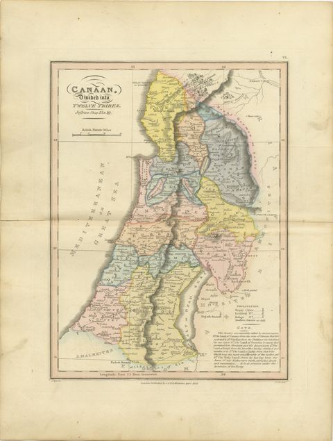
The Holy Land · MDCCCXXIII
Canaan Divided into the Twelve Tribes, Antique Hand-Colored Map, 1823
1823 · 26 × 34 cm£260£18030% off
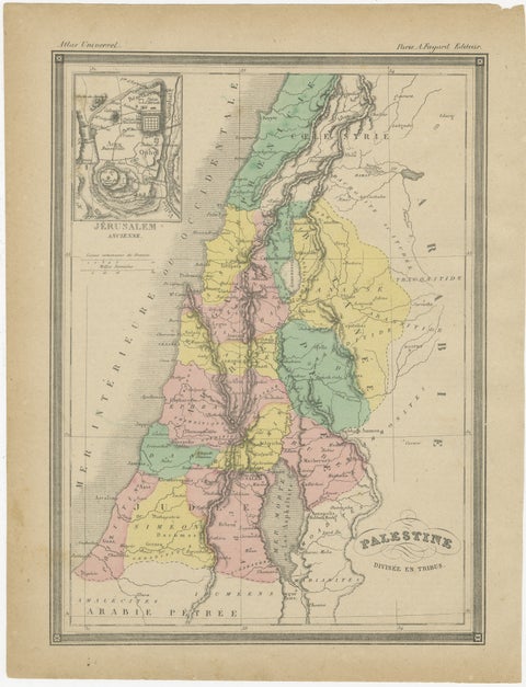
The Holy Land · MDCCCL
Palestine Divided into Tribes Map with Ancient Jerusalem, Paris, c.1850
1850 · 23.2 × 30.5 cm£250£19025% off
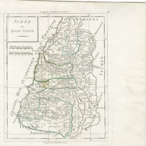
The Holy Land · MDCCC
Antique Map of Judaea or the Holy Land with the Twelve Tribes, circa 1800
circa 1800-1806 · 18 × 22 cm£245£18525% off
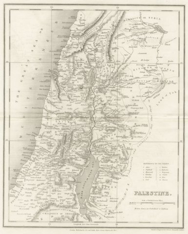
The Holy Land · MDCCCXXXV
Antique Map of Palestine with the Twelve Tribes by Dower, circa 1835
circa 1835 · 24 × 30 cm£205£15525% off
More to explore
Subjects