Close-ups
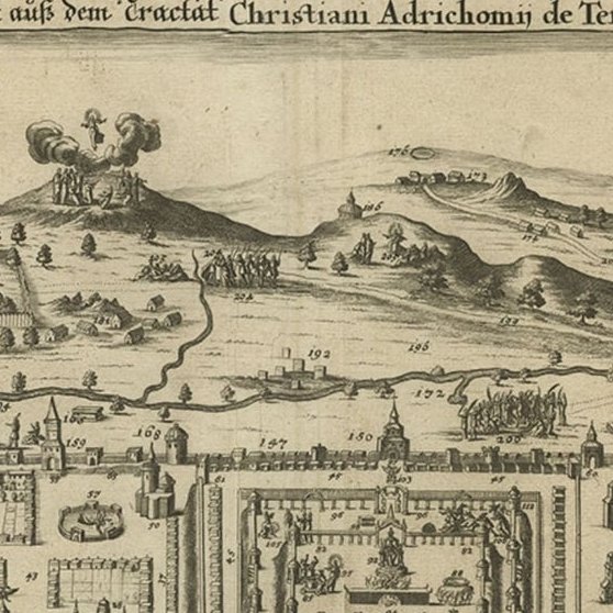
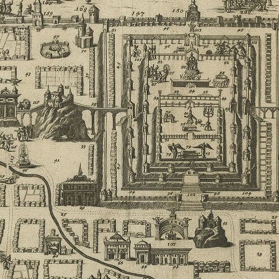
Framed and on the wall
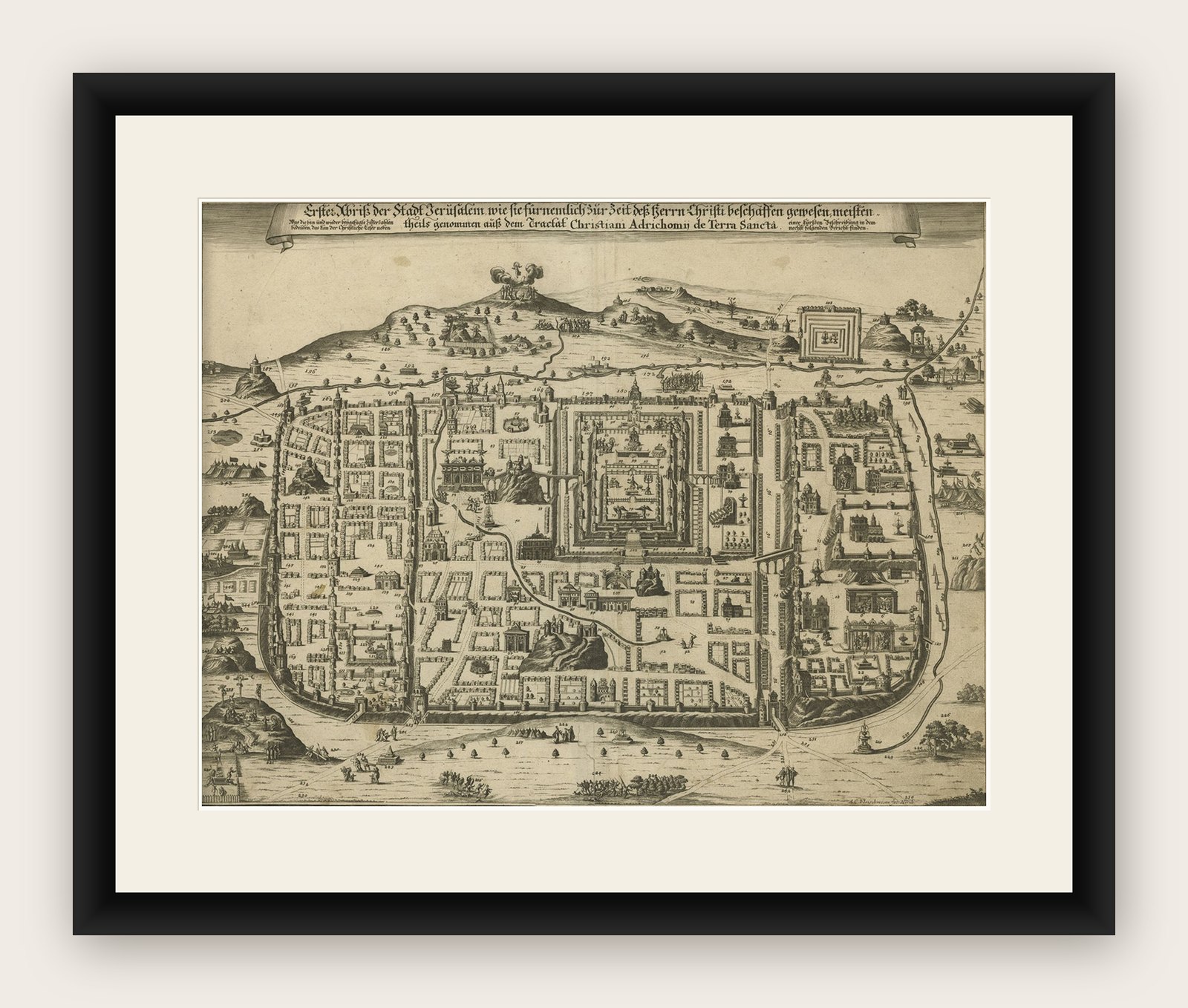

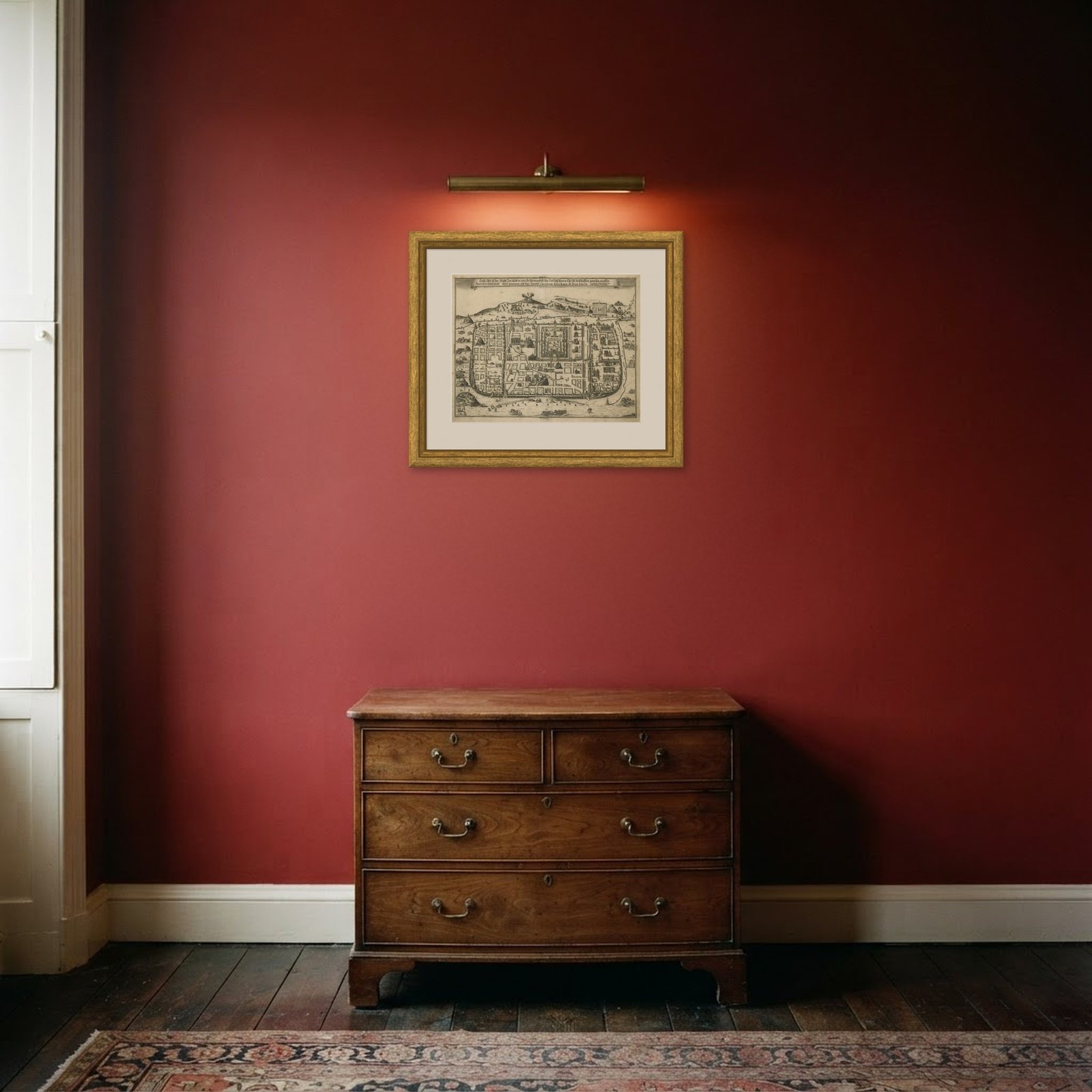
Frame and rooms are illustrations of how the print could look, drawn to its real size; it is sold unframed unless the description says otherwise.
The Holy Land
Spectacular Antique Original Engraving of a Town Plan of Jerusalem, 1708
Anno Domini MDCCVIII1708
£1,130£90520% off
$1,185 · €1,080
Original print, not a reproduction
Ships worldwide from the Netherlands, flat or rolled, insured and tracked. 14-day returns.
- Date
- 1708
- Sheet size
- 16.9 × 20.6 in (43 × 52.3 cm)
- Condition
- Good
- Faith
- Christianity, Judaism
- Collection
- The Holy Land
- Era
- 1700 to 1799, Mortier, Picart and the illustrated Bible
- Stock no.
- PCT-61460
What the condition grades mean
- Excellent
- Bright and clean, with no faults worth mentioning.
- Very good
- Only light signs of age, such as faint toning.
- Good
- Normal signs of age for a sheet of this period: toning, some foxing, small marks or neat old repairs.
- Fair
- Clear faults such as staining, tears or repairs, priced to match.
Every fault we see is written in the condition note, and the whole sheet is shown uncropped in the photos.
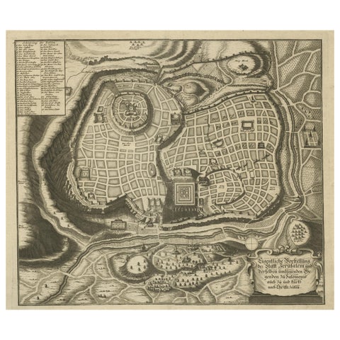
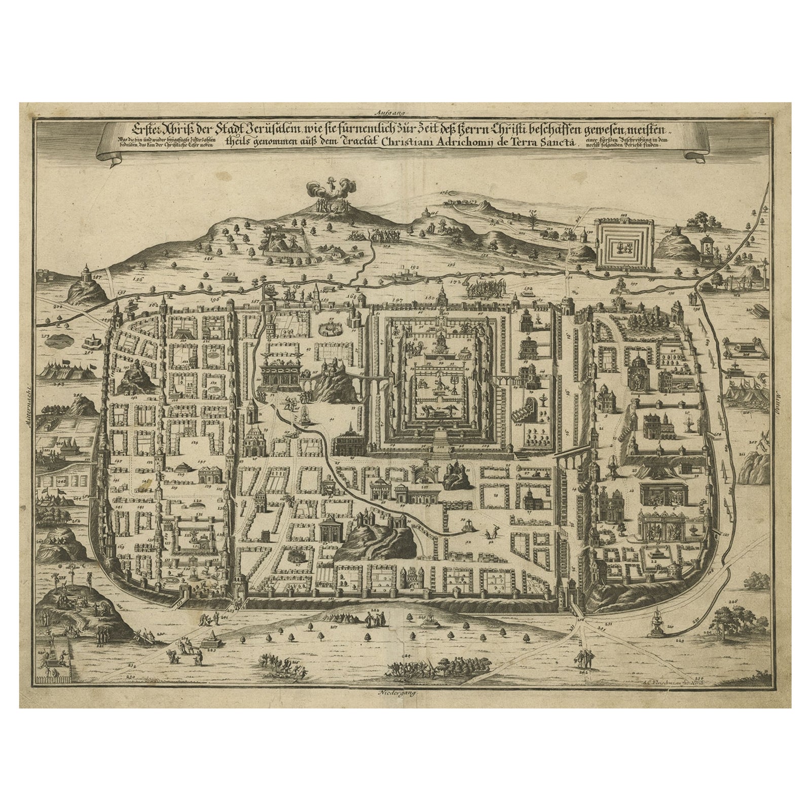
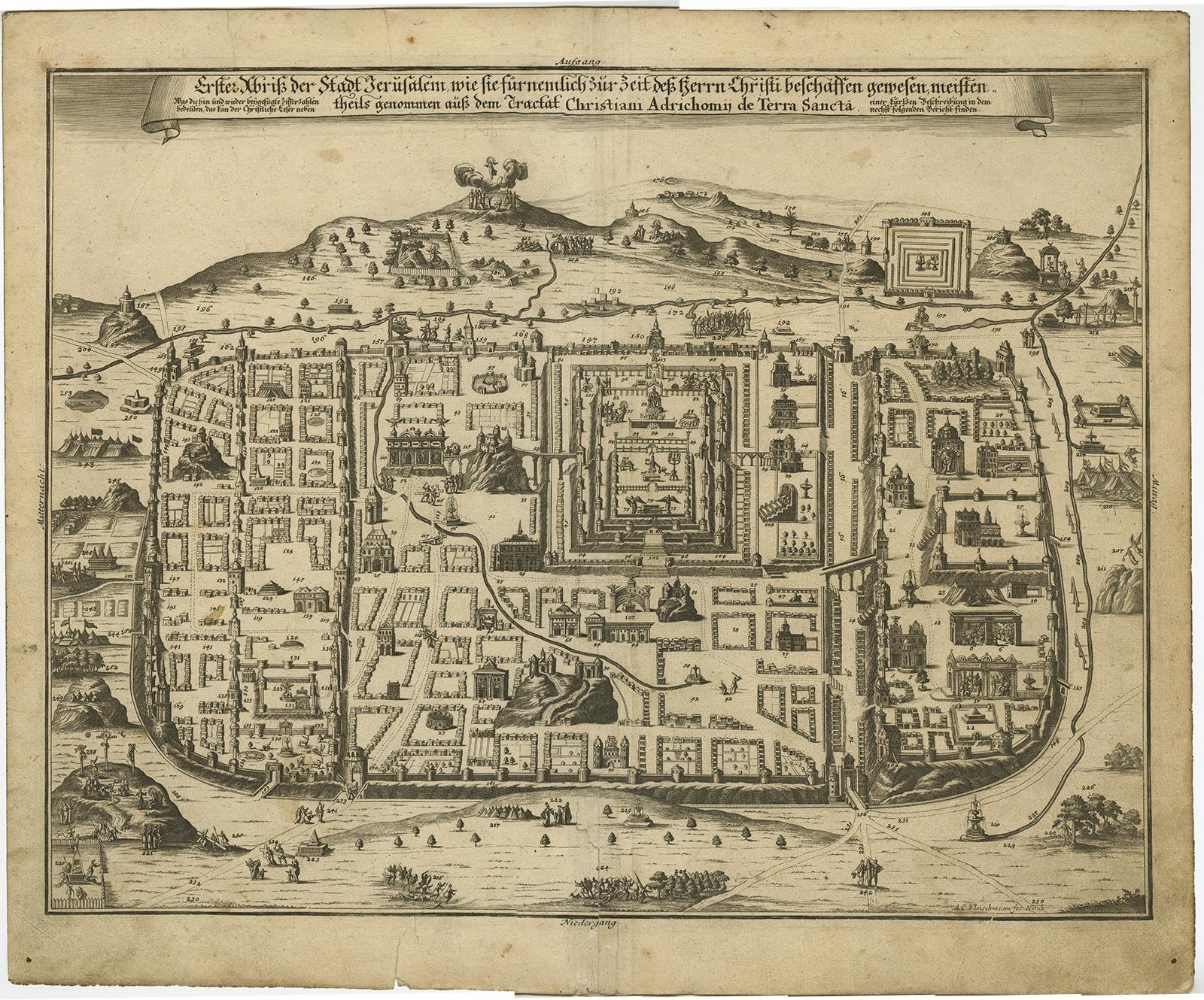
Description: Antique map titled 'Erster Abriss der Stadt Jerusalem wie sie Furnemblich zur Zeit des Hernn Christi beschaffen (..).'
Spectacular town plan of Jerusalem, based upon Christian Van Andricom's 1584 map. Inside the fortified walls of the town are numerous buildings, statues, hills, temples, fountains, and other places of biblical signficance. Outside the walls are several battles, encampments and sens from the bible.
Certainly one of the most remarkable holyland maps of the period.
This map originates from 'Biblia: das ist die gantze Heilige Schrift, Altes und Neues Testaments / verteutscht von Doctor Martin Luther: und auf gnädigste Verordnung des durchleuchtigsten Fürsten und Herrn/ Herrn Ernsts/ Hertzogen zu Sachsen (..)' published by Johann Andrea Endters Seel, Sohn und Erben 1708. The first edition appeared in 1641.
Explore