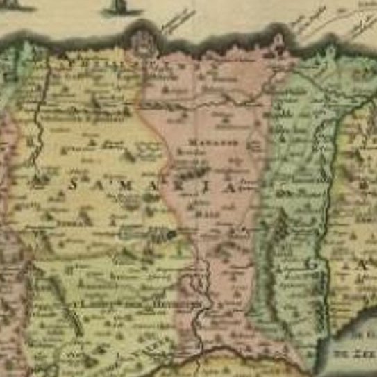
Close-ups
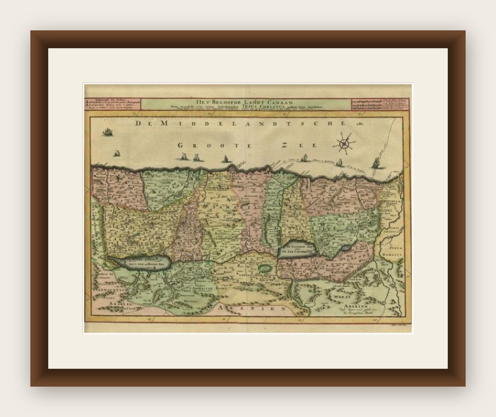
Framed and on the wall

Frame and rooms are illustrations of how the print could look, drawn to its real size; it is sold unframed unless the description says otherwise.
The Holy Land
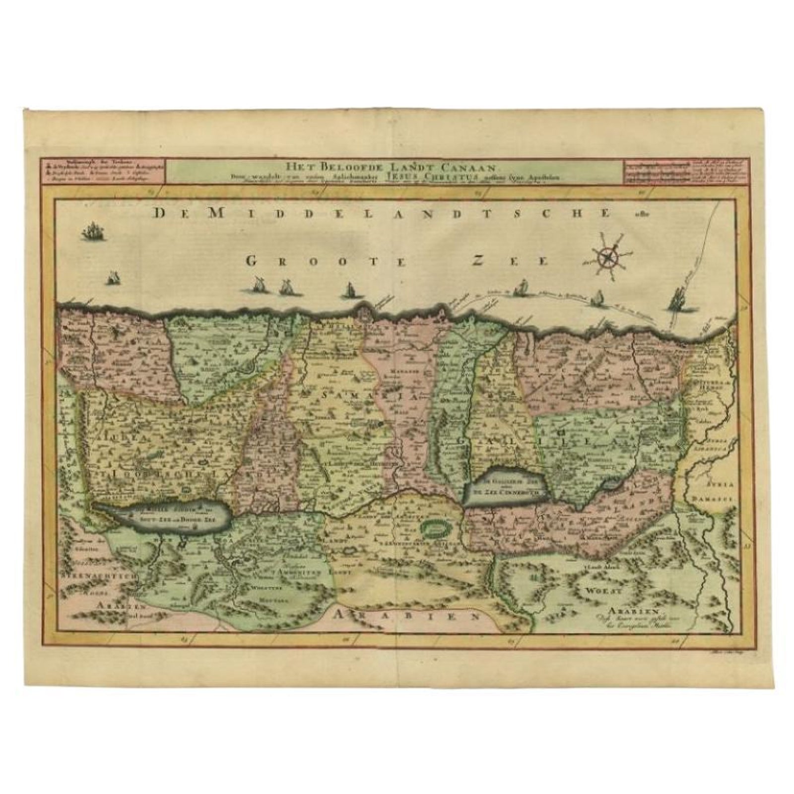
Antique Map of the Holy Land by Schut, 1710
Anno Domini MDCCX1710
£350£24530% off
$325 · €294
Original print, not a reproduction
Ships worldwide from the Netherlands, flat or rolled, insured and tracked. 14-day returns.
- Date
- 1710
- Sheet size
- 15.9 × 20.6 in (40.3 × 52.4 cm)
- Condition
- Good
- Faith
- Christianity, Judaism
- Collection
- The Holy Land
- Era
- 1700 to 1799, Mortier, Picart and the illustrated Bible
- Stock no.
- PCT-61463
What the condition grades mean
- Excellent
- Bright and clean, with no faults worth mentioning.
- Very good
- Only light signs of age, such as faint toning.
- Good
- Normal signs of age for a sheet of this period: toning, some foxing, small marks or neat old repairs.
- Fair
- Clear faults such as staining, tears or repairs, priced to match.
Every fault we see is written in the condition note, and the whole sheet is shown uncropped in the photos.
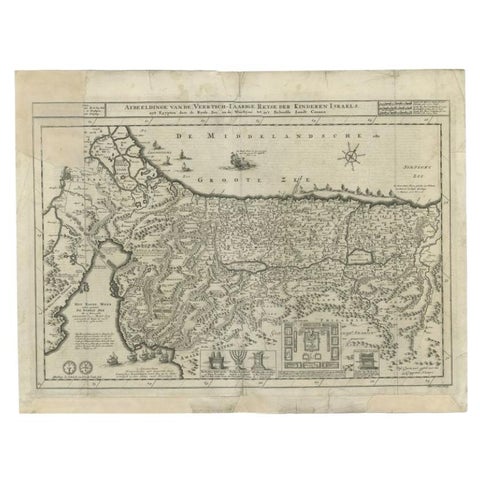
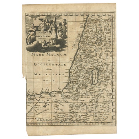
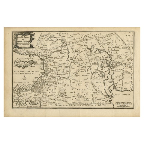
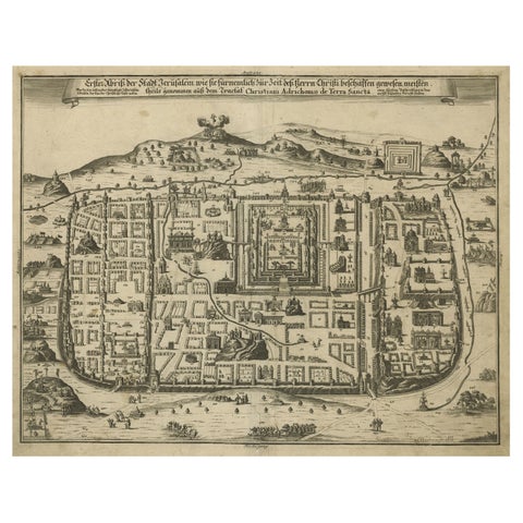
Antique map of the Holy Land titled 'Het Beloofde Landt Canaan.' Very detailed and decorative map of the Holy Land embellished with sailing ships and compass rose. Dutch text on verso. Source unknown, to be determined. Ref: Poortman, Kaarten in Bijbels, 32.
Artists and Engravers: Made by 'Albert Schut' after 'Cornelis Danckerts'. Cornelis Danckerts II (1603-1656) was a succesful Amsterdam-based art-. print- and map-seller. (He called himself 'Papiere, konst en caertverkoper.') His sons Dancker II and Justus were active in the business as well. The Danckerts were a well known family containing several engravers, cartographers and print-sellers that started with the founder Cornelis Danckerts I (1536-1595) who was the city carpenter.
Image size: 50 x 34.2 cm.
Explore