Framed and on the wall
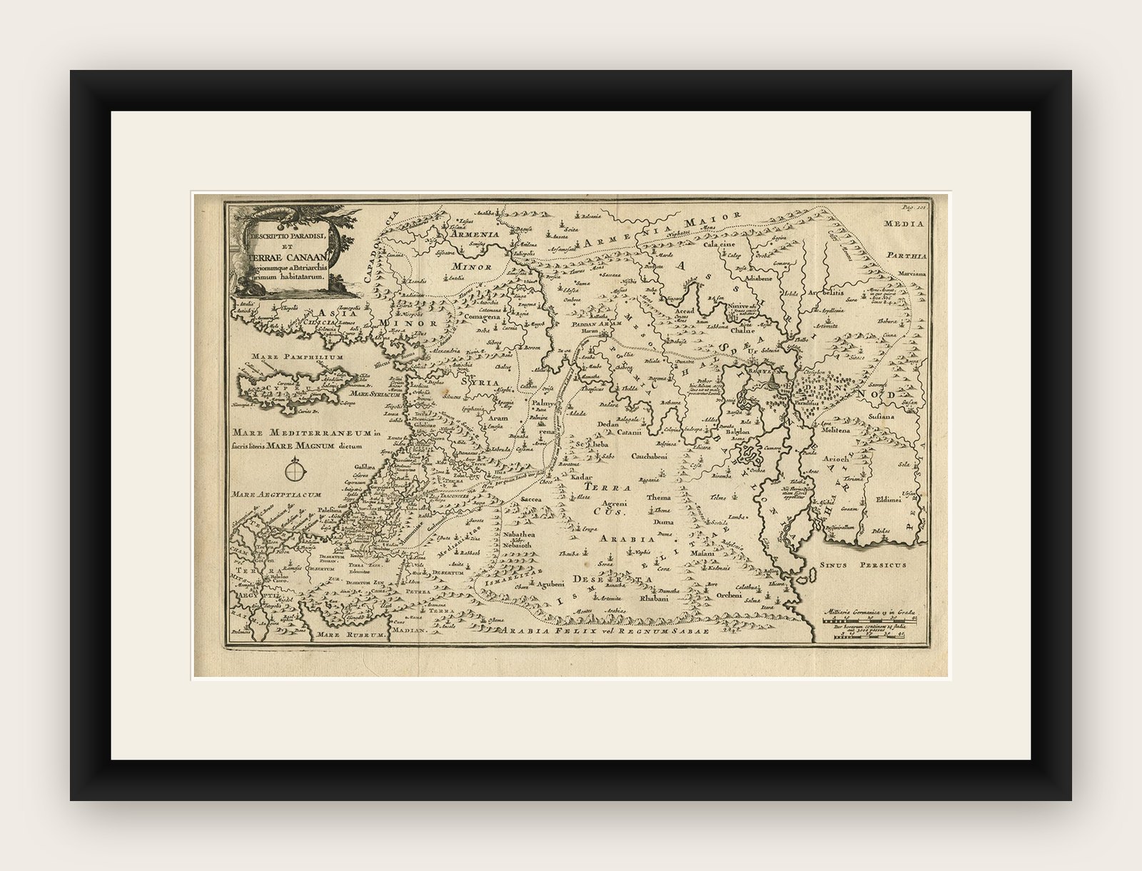
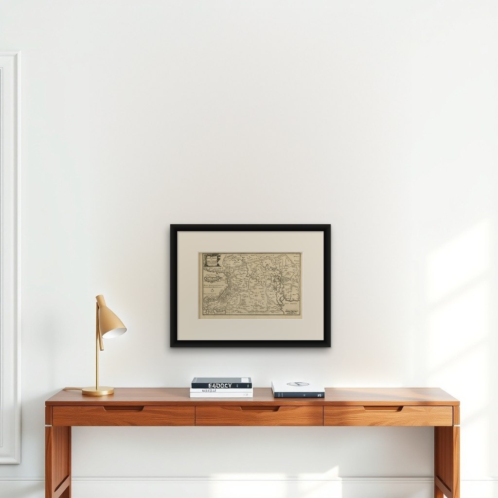

Frame and rooms are illustrations of how the print could look, drawn to its real size; it is sold unframed unless the description says otherwise.
The Holy Land
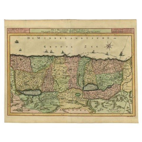
Original Antique Map of Canaan, Armenia, Syria, Mesopotamia and Arabia, 1709
Anno Domini MDCCIX1709
€675
$760 · £575
Original print, not a reproduction
Ships worldwide from the Netherlands, flat, insured and tracked. 14-day returns. To buy, use Ask a question (info@antiquesacredprints.com) and we will reserve it for you.
- Date
- 1709
- Sheet size
- 9.8 × 14.9 in (25 × 37.8 cm)
- Technique
- Engraved
- Condition
- Good. General age-related toning. Original folding lines. Minor wear and soiling, blank verso. Please study image carefully.
- Faith
- Christianity, Judaism
- Collection
- The Holy Land
- Era
- 1700 to 1799, Mortier, Picart and the illustrated Bible
- Stock no.
- f_26448842
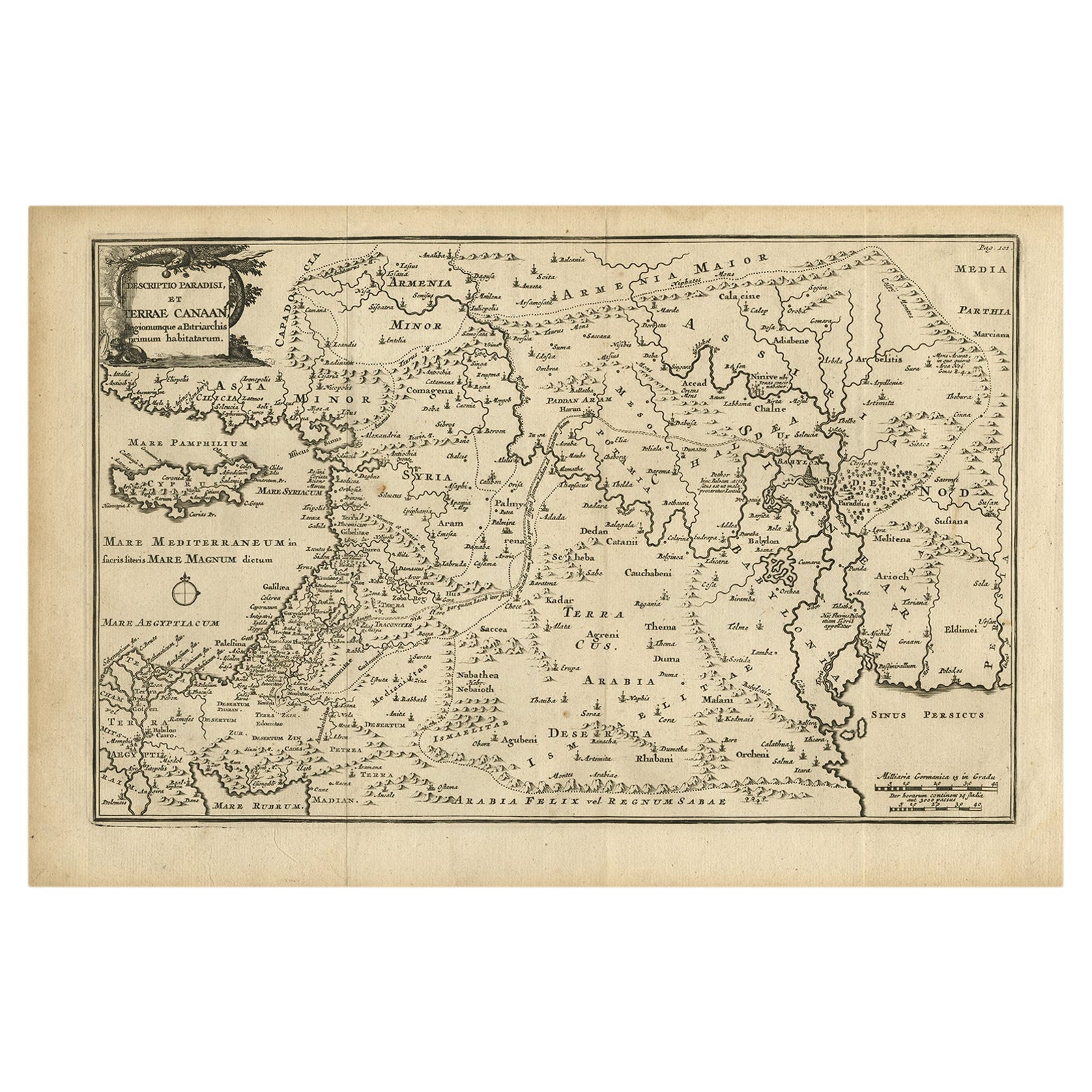
Antique map titled 'Descriptio Paradisi et Terrae Canaan'.
Original antique map of Canaan, Armenia, Syria, Mesopotamia and Arabia. It displays the Middle East from the eastern Mediterranean Sea to the Persian Gulf. The Garden of Eden is located in present-day Iraq, near the city of Babylon and Mons Ararat in the upper right corner is noted as the site of Noah's Ark. Abraham's journey from Ur is traced and numerous other biblical places are noted. The title cartouche features the serpent in the apple tree. Published circa 1709.
Artists and Engravers: Published by F. Halma, Leeuwarden.
Condition: Good, general age-related toning. Original folding lines. Minor wear and soiling, blank verso. Please study image carefully.
Explore