Close-ups
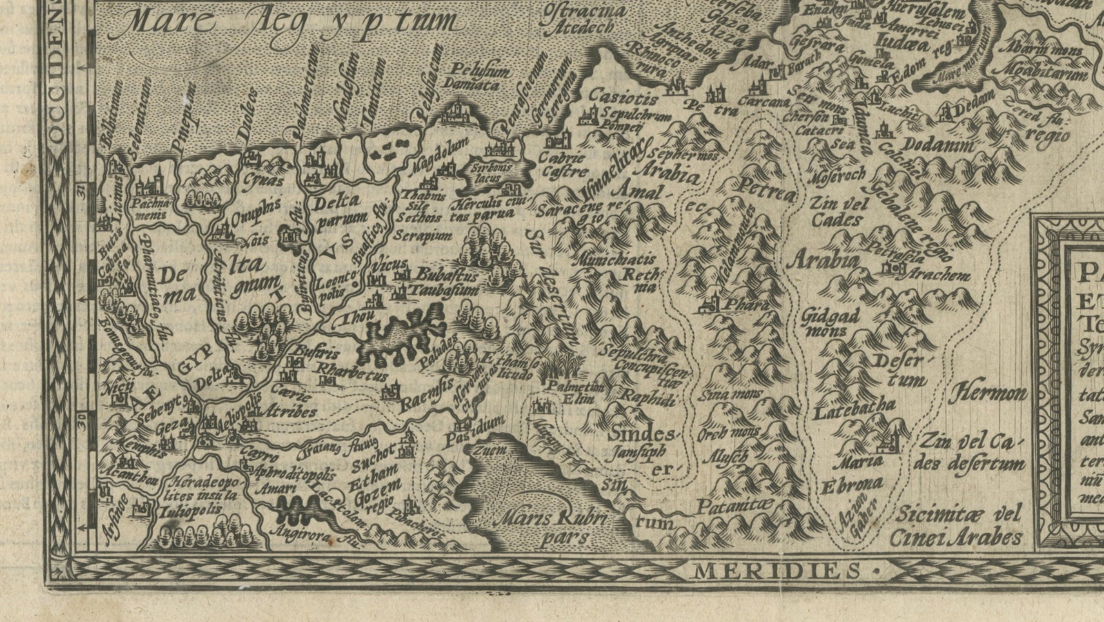
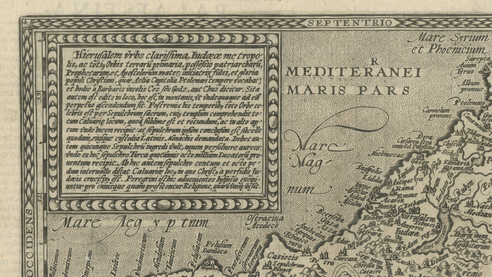
Framed and on the wall
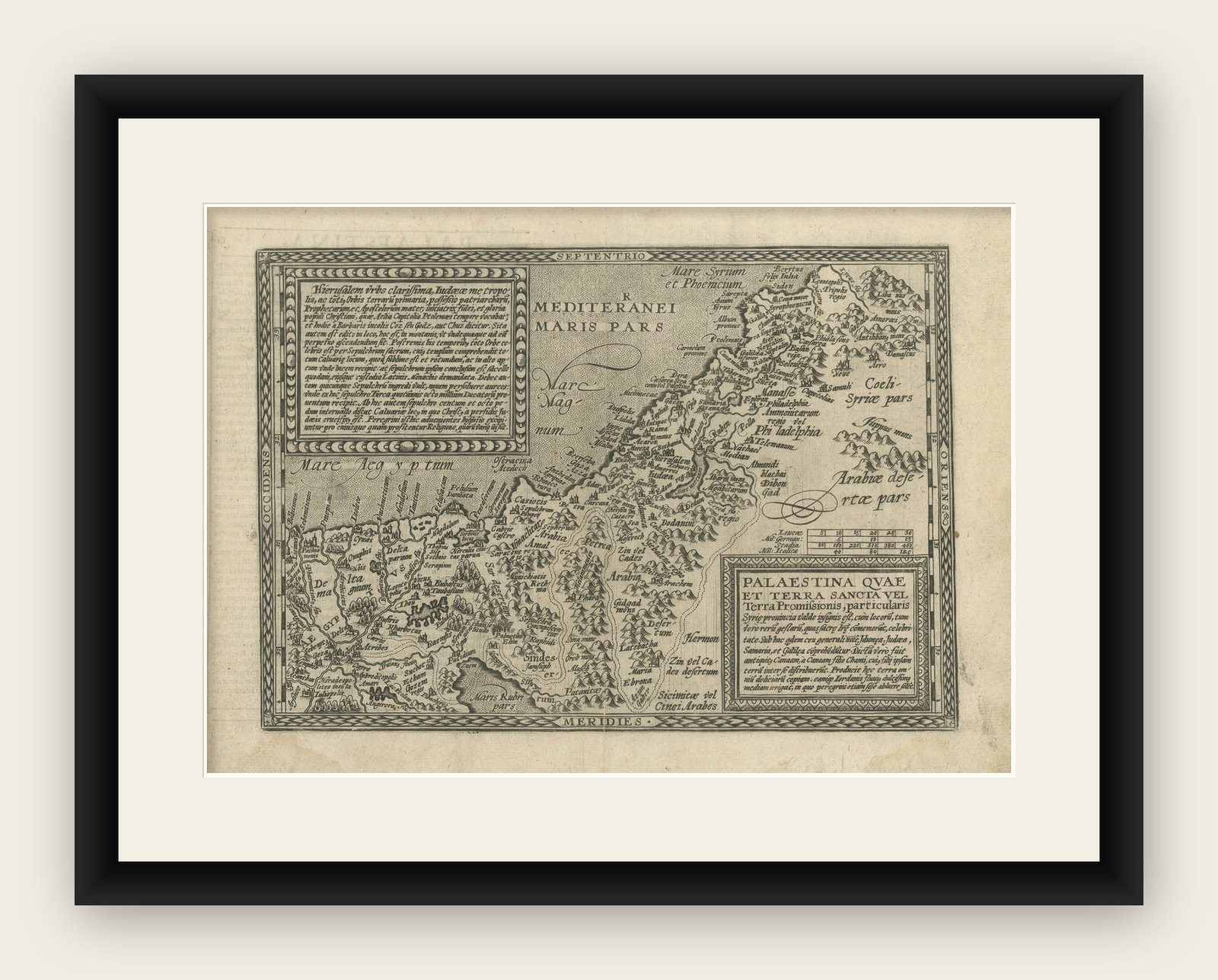

Frame and rooms are illustrations of how the print could look, drawn to its real size; it is sold unframed unless the description says otherwise.
The Holy Land
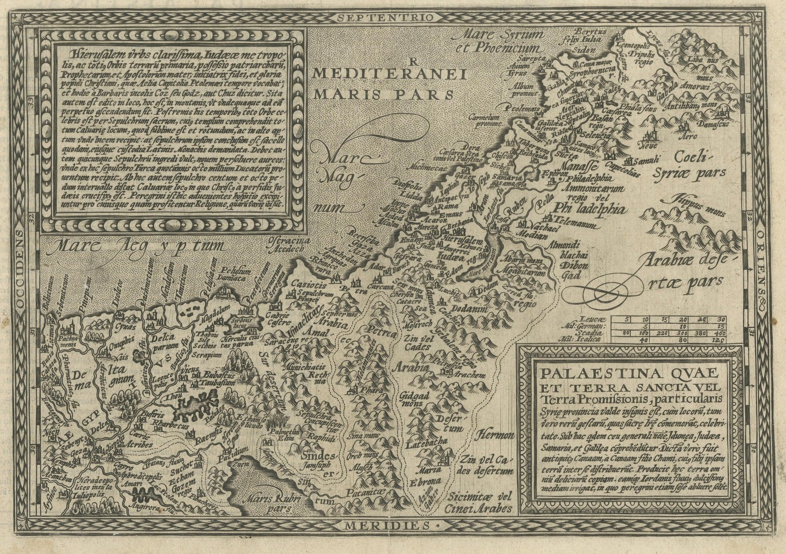
Rare 16th Century Map of the Holy Land and Palestine by Matthias Quad, ca.1599
Anno Domini MDXCIX1599
€689
$775 · £585
Original print, not a reproduction
Ships worldwide from the Netherlands, flat, insured and tracked. 14-day returns. To buy, use Ask a question (info@antiquesacredprints.com) and we will reserve it for you.
- Date
- 1599
- Sheet size
- 10.4 × 14.4 in (26.5 × 36.5 cm)
- Condition
- Good. Good condition for a late sixteenth-century engraving. The sheet shows age toning and minor wear consistent with its age. The engraving remains crisp and clear.
- Faith
- Christianity, Judaism
- Collection
- The Holy Land
- Era
- Before 1700, Woodcuts and the great atlases
- Stock no.
- f_49154302
Title: Rare 16th Century Map of the Holy Land and Palestine by Matthias Quad
Description:
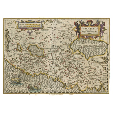
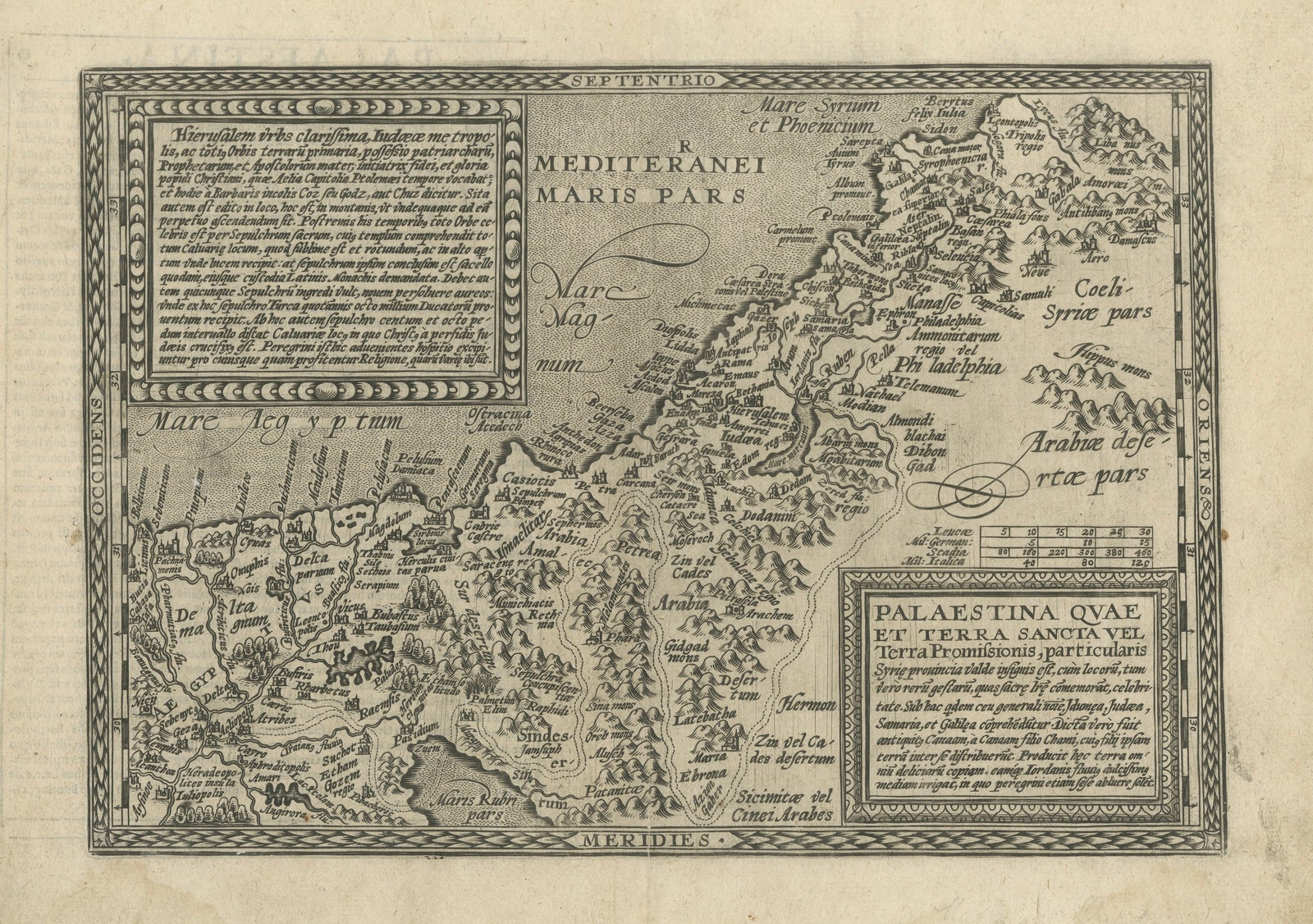
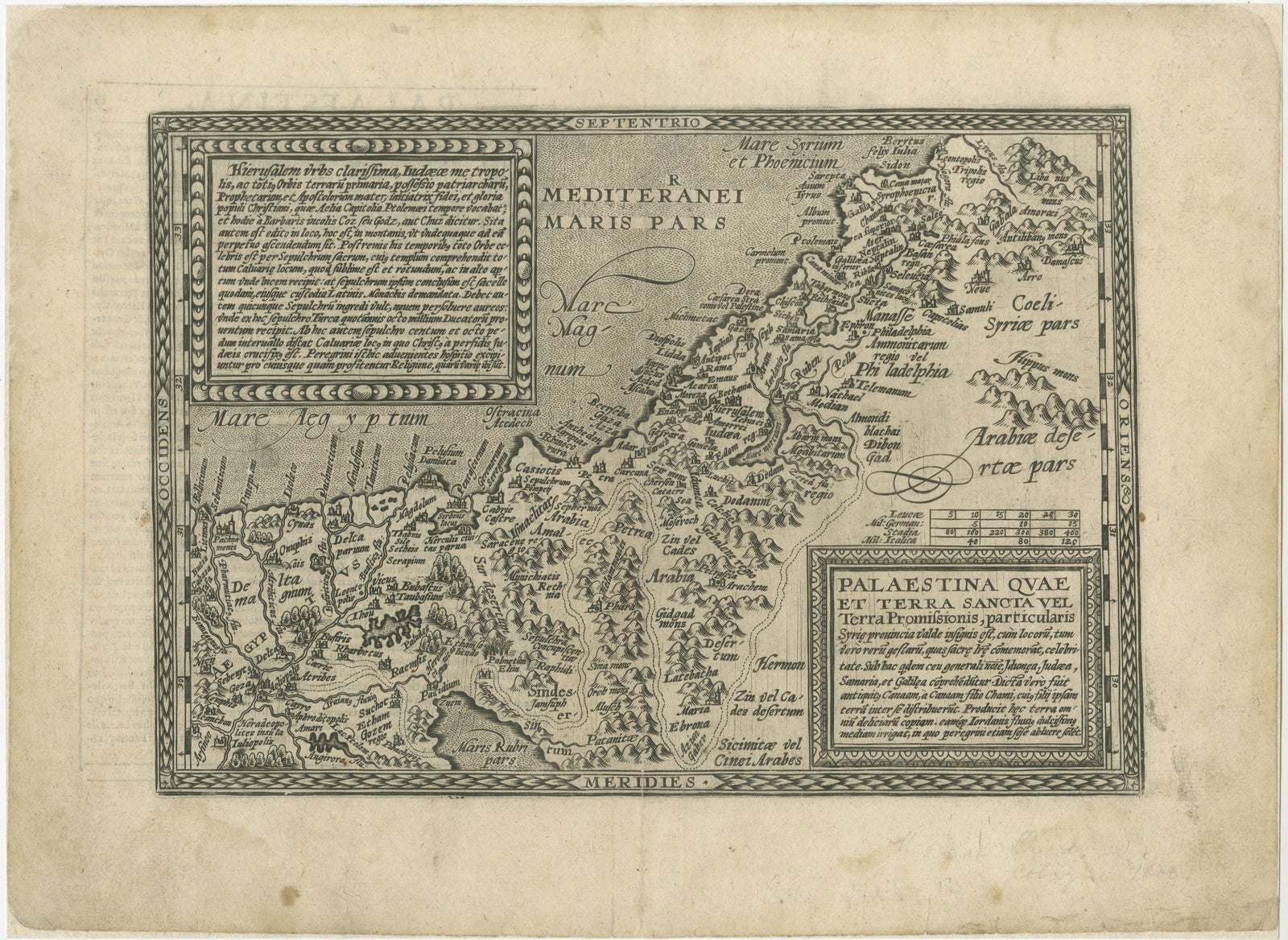
This rare late sixteenth-century map titled Palaestina quae et Terra Sancta vel Terra Promissionis depicts the biblical lands of Palestine and the Holy Land. The map was created by the German cartographer Matthias Quad and engraved by Johann Bussemacher in Cologne around the year 1600. It appeared in Quad’s Geographisch Handtbuch, an influential atlas that offered a more compact and affordable alternative to the grand atlases of the period, such as those by Abraham Ortelius.
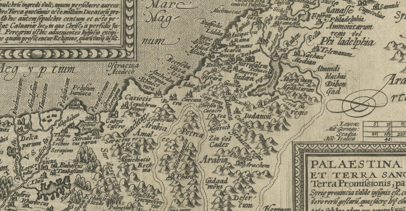
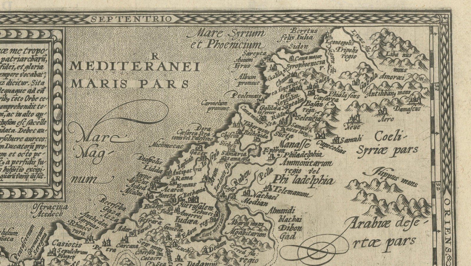
The map illustrates the sacred geography of the biblical world, extending from the Mediterranean coast near Berytus (modern Beirut) southward along the Levantine coastline toward the Nile Delta in Egypt. Inland, the landscape includes the Jordan River valley and the mountainous regions of Judea and surrounding territories. Numerous biblical locations are identified, including Jerusalem, Bethlehem, Jericho, and many other sites central to Christian and Jewish tradition.
Jerusalem occupies a prominent position on the map, reflecting its importance as the spiritual center of the Holy Land. Early modern cartographers often emphasized the city’s symbolic role in biblical geography, and maps such as this were frequently consulted by scholars, clergy, and pilgrims seeking a visual representation of sacred history. The map reflects the strong tradition of biblical cartography that flourished in Europe during the sixteenth century, when geographic knowledge was increasingly combined with religious scholarship.
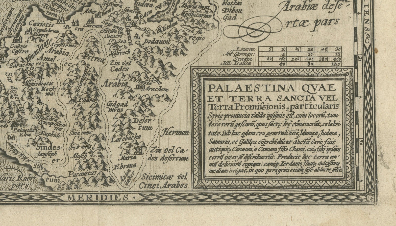
The composition is framed by an ornate engraved border typical of late Renaissance cartography. Within the corners of the map are decorative cartouches containing extensive Latin texts describing the geography and biblical significance of the region. These explanatory panels provide historical and theological context for the landscape depicted in the central map.
Quad’s work drew inspiration from earlier cartographic traditions, particularly from maps produced by the De Jode family and other prominent Netherlandish cartographers. At the same time, Quad adapted and simplified these earlier sources to suit the format of his atlas. The result is a map that combines scholarly content with an elegant and balanced design characteristic of late sixteenth-century engraving.
The finely engraved mountains, rivers, and cities demonstrate the craftsmanship of Johann Bussemacher, one of the notable engravers active in Cologne during the period. The overall aesthetic reflects the transition from the richly decorated Renaissance atlases toward the more systematic geographic publications that would dominate seventeenth-century cartography.
Today, early biblical maps such as this are highly sought after by collectors for their historical significance, religious context, and striking Renaissance engraving style. This example offers both scholarly importance and strong decorative appeal.
Condition:
Good condition for a late sixteenth-century engraving. The sheet shows age toning and minor wear consistent with its age. The engraving remains crisp and clear.
Framing tips:
This map displays beautifully in a dark walnut or ebonized frame with a generous ivory mat. Such framing enhances the intricate engraved border and the decorative Latin cartouches while giving the piece a refined museum-quality presentation.
Technique: Copperplate engraving
Maker: Matthias Quad, Cologne, circa 1600
Explore