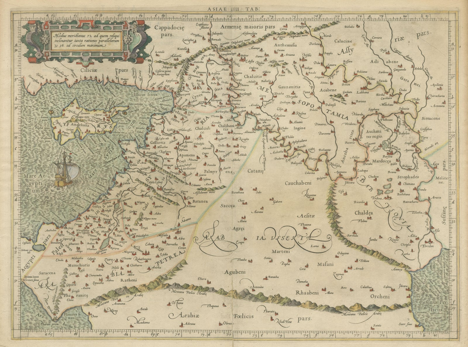
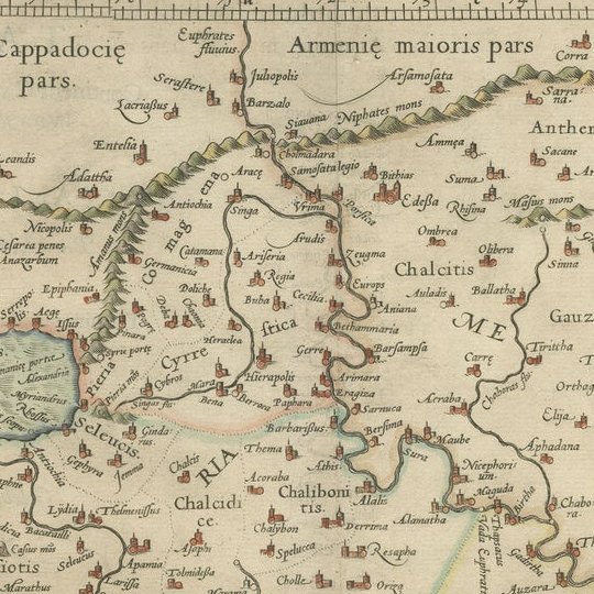
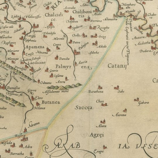
Close-ups
Framed and on the wall
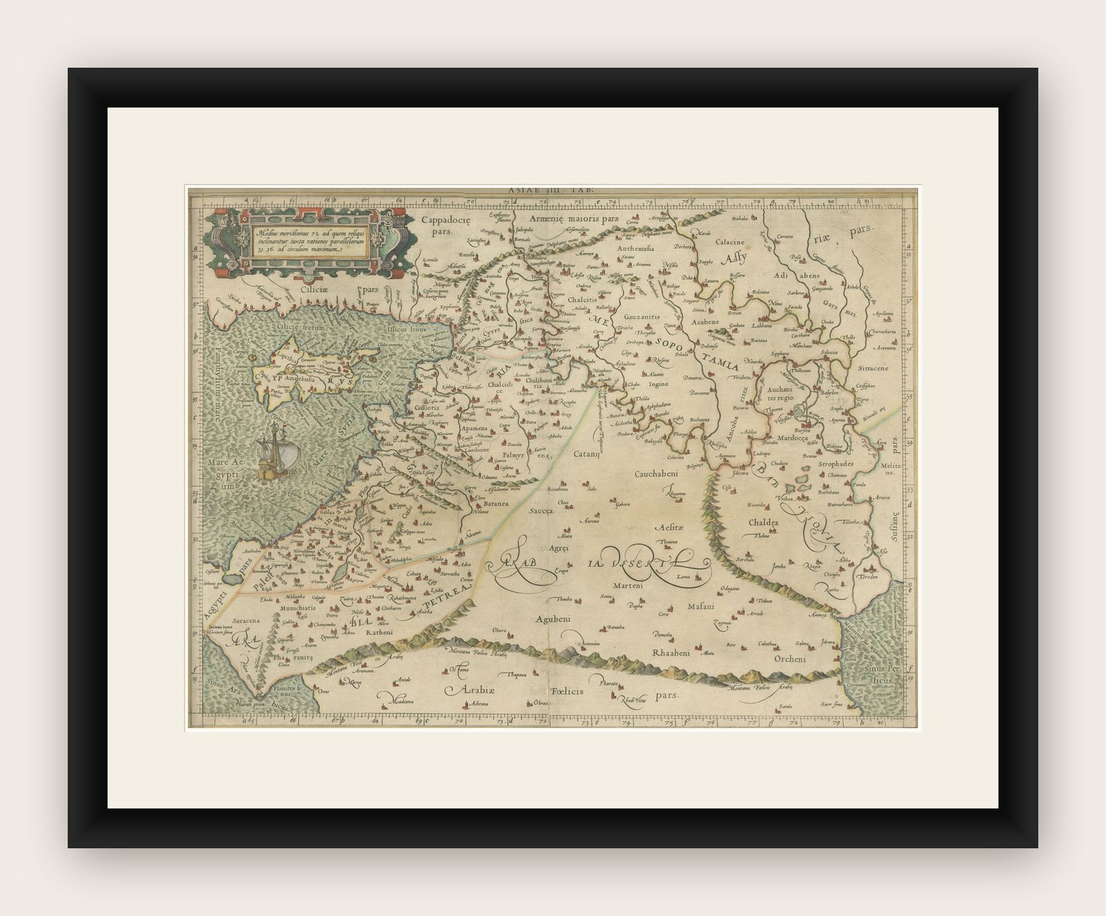
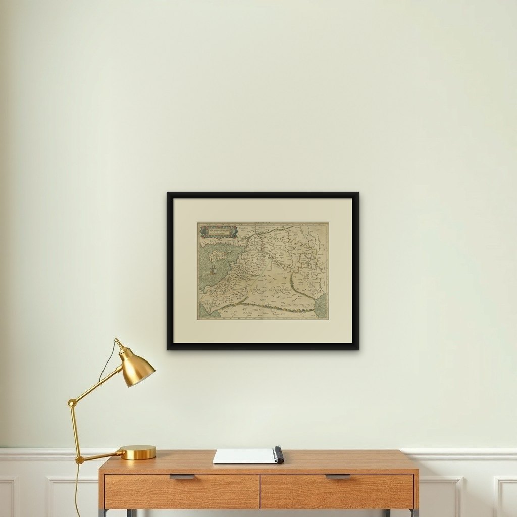

Frame and rooms are illustrations of how the print could look, drawn to its real size; it is sold unframed unless the description says otherwise.
The Holy Land
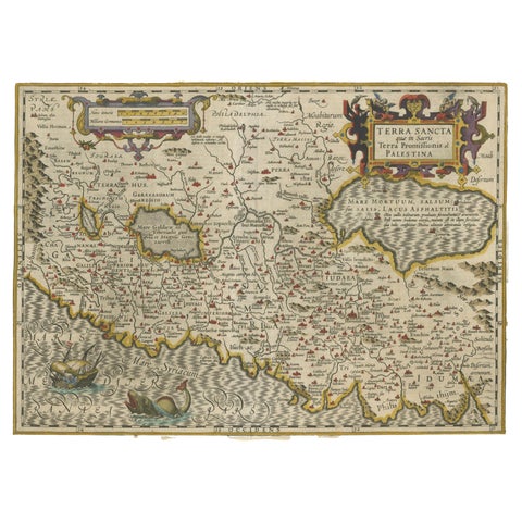
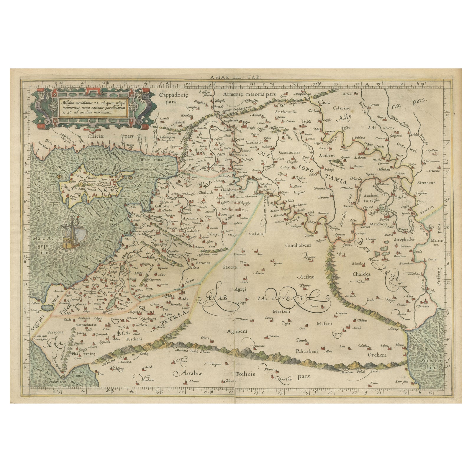
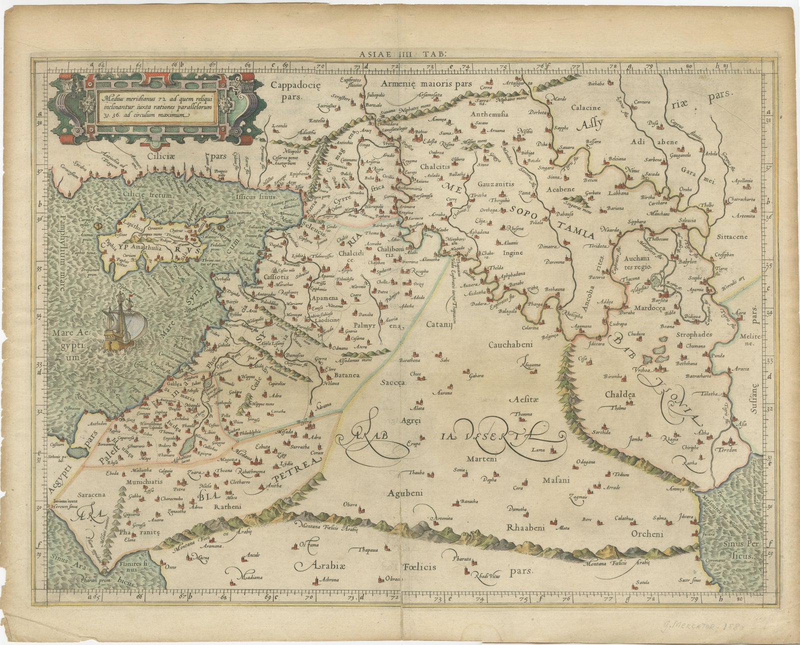
Mercator's Ptolemaic Map of the Holy Land, Cyprus and Syria, circa 1580
Anno Domini MDLXXX1580
€690
$780 · £585
Original print, not a reproduction
Ships worldwide from the Netherlands, flat, insured and tracked. 14-day returns. To buy, use Ask a question (info@antiquesacredprints.com) and we will reserve it for you.
- Date
- 1580
- Sheet size
- 15.6 × 19.8 in (39.7 × 50.2 cm)
- Condition
- Fair. General age-related toning. Original folding line. Shows a few tiny defects, also affecting image. Latin text on verso. Please study image carefully.
- Faith
- Christianity, Judaism
- Collection
- The Holy Land
- Era
- Before 1700, Woodcuts and the great atlases
- Stock no.
- f_35446612
Antique map titled 'Asiae IIII Tab'. Beautiful map of Mercator's Ptolemaic map of the Holy Land, Cyprus, Syria, etc. Originates from Mercator's 'Geographia'.
Gerard Mercator (1512, 1594) originally a student of philosophy was one of the most renowned cosmographers and geographers of the 16th century, as well as an accomplished scientific instrument maker. He is most famous for introducing Mercators Projection, a system which allowed navigators to plot the same constant compass bearing on a flat map.
Explore