Close-ups
Framed and on the wall
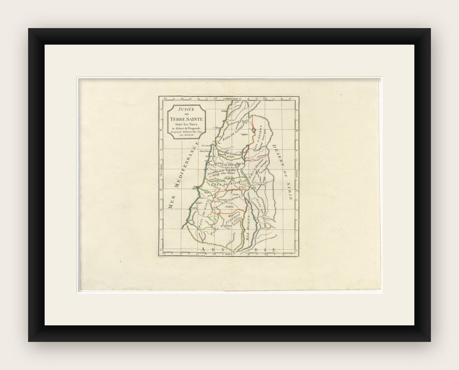
Frame and rooms are illustrations of how the print could look, drawn to its real size; it is sold unframed unless the description says otherwise.
The Holy Land
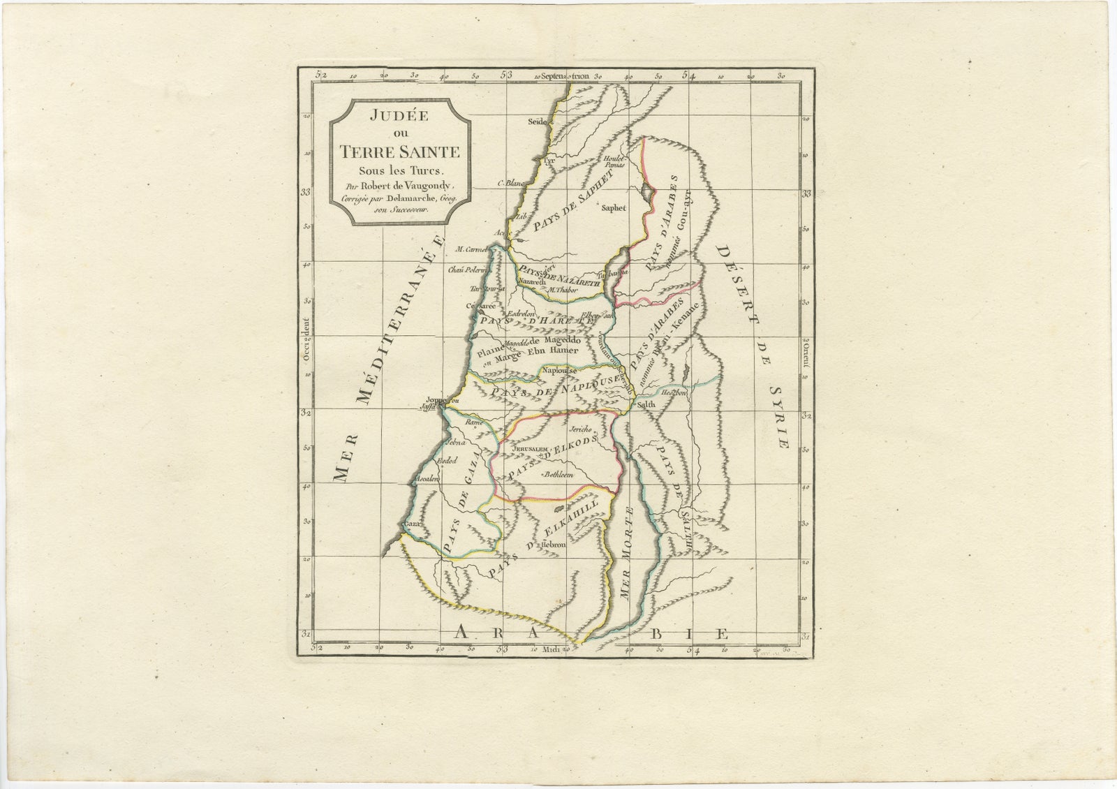
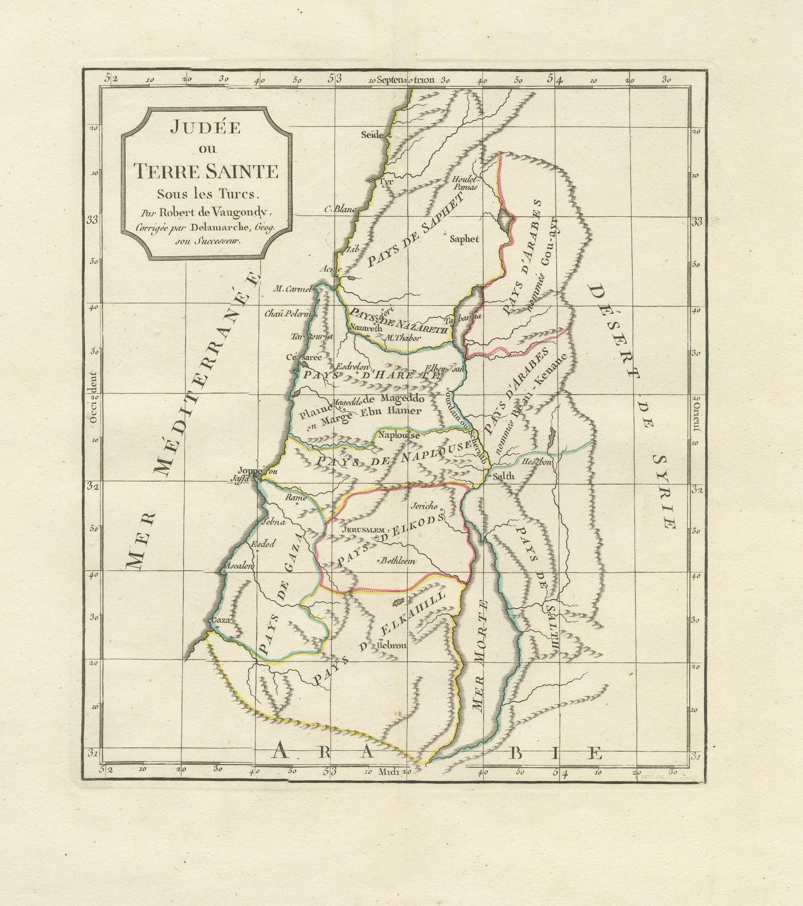
Judee ou Terre Sainte Map of the Holy Land and Jerusalem, c.1806
Anno Domini MDCCCVI1806
$615
€545 · £465
Original print, not a reproduction
Ships worldwide from the Netherlands, flat, insured and tracked. 14-day returns. To buy, use Ask a question (info@antiquesacredprints.com) and we will reserve it for you.
- Date
- 1806
- Sheet size
- 12.4 × 17.8 in (31.5 × 45.2 cm)
- Condition
- Good. Good antique condition with age-related toning and occasional light foxing. Minor handling wear and faint discoloration consistent with age. Wide margins preserved. Please study image carefully.
- Faith
- Christianity
- Collection
- The Holy Land
- Era
- 1800 to 1849, Travellers and the costume books
- Stock no.
- f_50003712
Judee ou Terre Sainte Map of the Holy Land and Jerusalem, c.1806
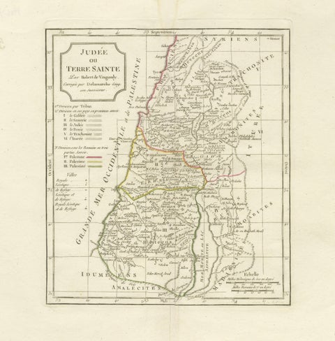
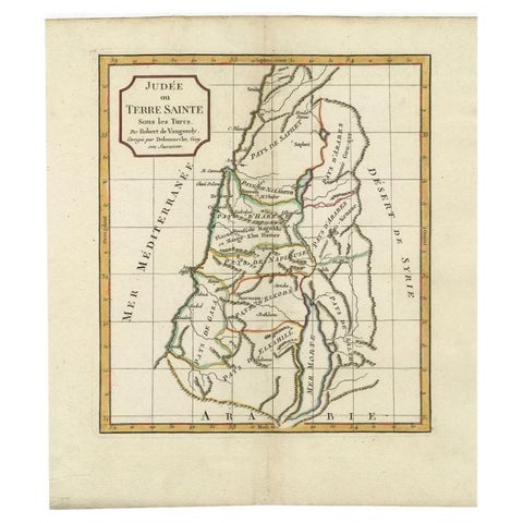
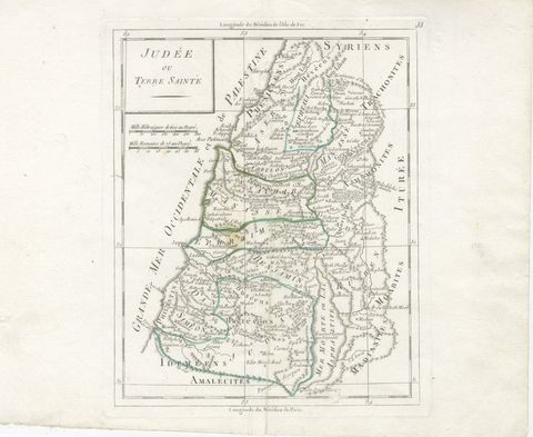
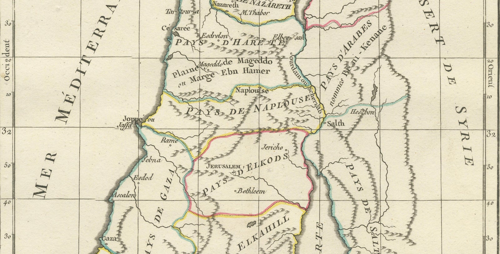
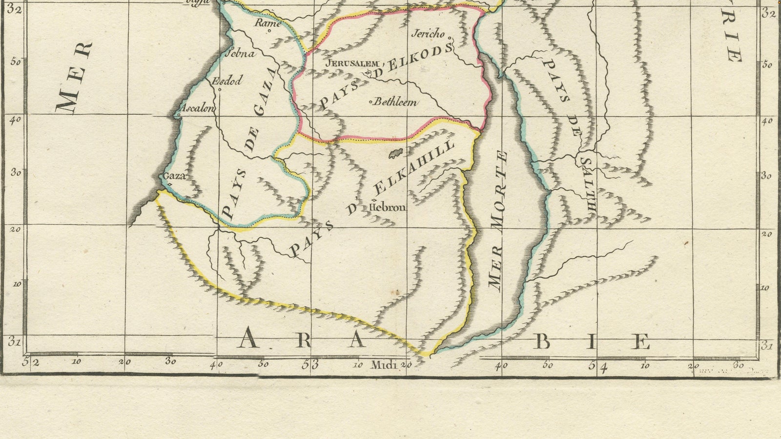
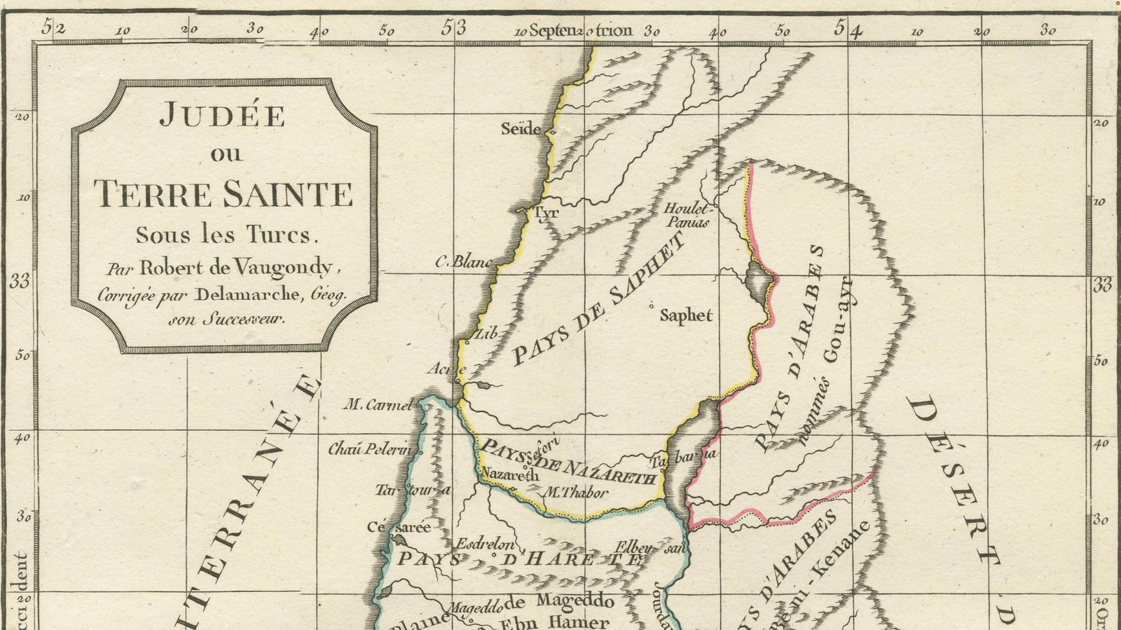
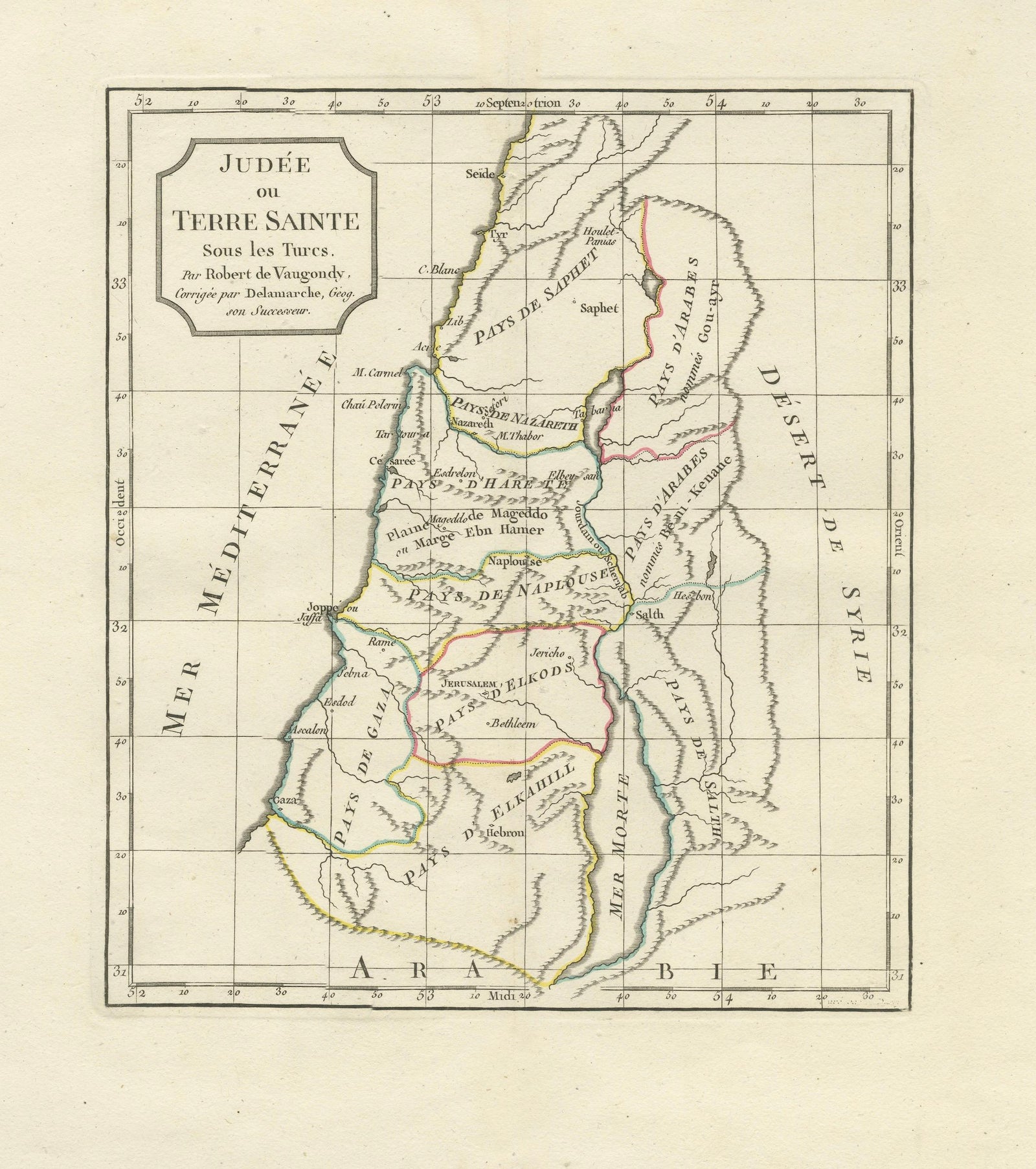
A delicate and historically important French map titled “Judée ou Terre Sainte Sous les Turcs,” depicting the Holy Land during the Ottoman period. Based on the work of the renowned French cartographer Robert de Vaugondy and later corrected by Delamarche, this finely engraved map presents a compact yet highly detailed representation of Judea, Samaria, Galilee, and the surrounding biblical regions along the eastern Mediterranean.
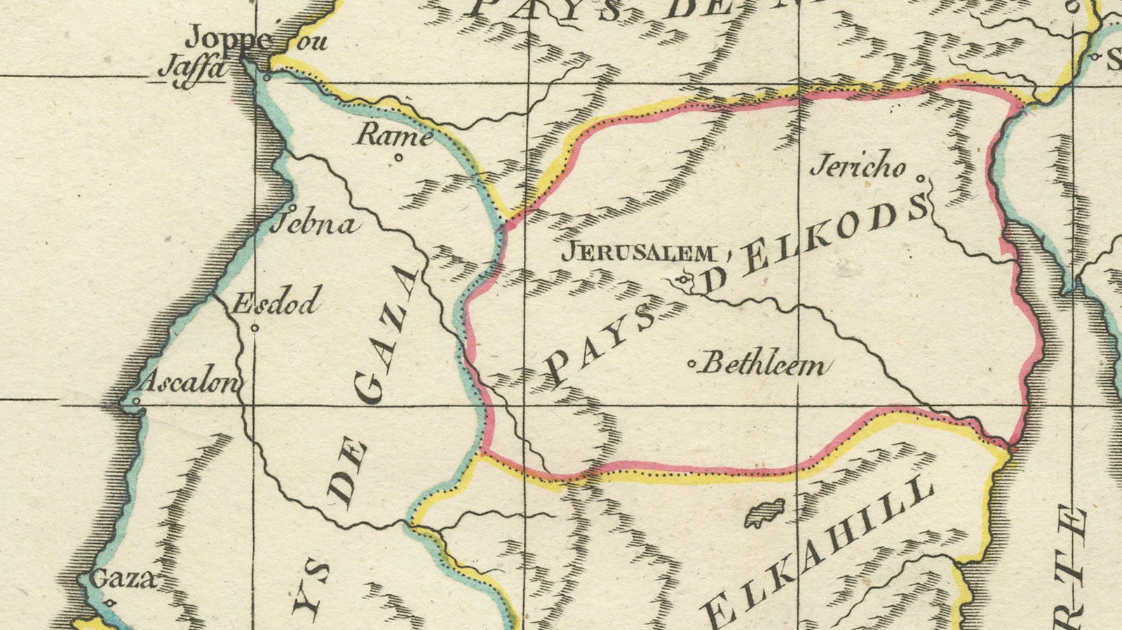
The composition centers on the sacred geography of the Holy Land, extending from the Mediterranean coast eastward to the Jordan River and the Dead Sea, and from Galilee in the north to the deserts south of Hebron and Gaza. Jerusalem appears prominently near the center of the map alongside Bethlehem, Jericho, Nazareth, Hebron, Acre, Jaffa, Gaza, and numerous other locations of biblical and historical significance.
Executed in the elegant French cartographic style of the late eighteenth and early nineteenth centuries, the map combines refined copper engraving with subtle original outline hand coloring used to distinguish the historical regions and administrative divisions. The restrained palette and graceful typography give the sheet a refined decorative quality that works exceptionally well in both traditional and contemporary interiors.
Maps of the Holy Land have long attracted collectors due to their religious, historical, and artistic appeal. This example is particularly desirable for its clean and uncluttered presentation, compact vertical format, and strong association with biblical geography and pilgrimage traditions. The title cartouche, elegant coastal outline, and carefully engraved place names create a balanced composition with both intellectual and decorative charm.
This map displays beautifully in a dark walnut, ebonized, or gilt frame with a wide ivory mat, particularly in studies, libraries, or interiors inspired by travel, theology, archaeology, or classical history.
Condition: Good antique condition with age-related toning and occasional light foxing. Minor handling wear and faint discoloration consistent with age. Wide margins preserved. Please study image carefully.
Special note: This is an original antique engraving, not a reproduction. All items we offer are authentic period works of art over 100 years old. The piece is sold unframed; any framed images are shown for presentation and interior inspiration only and may not always be to scale.
Keywords: Holy Land map, Judea map, Terre Sainte, Jerusalem map, Palestine map, biblical map, Galilee, Samaria, Dead Sea, Jordan River, Bethlehem, Nazareth, Gaza, Jaffa, Acre, Ottoman Palestine, Robert de Vaugondy, Delamarche, antique biblical map, French cartography, Holy Land cartography, Jerusalem antique map, copper engraving
Technique: Copper engraving with original outline hand color
Maker: Robert de Vaugondy / Delamarche, Paris, circa 1806
Explore