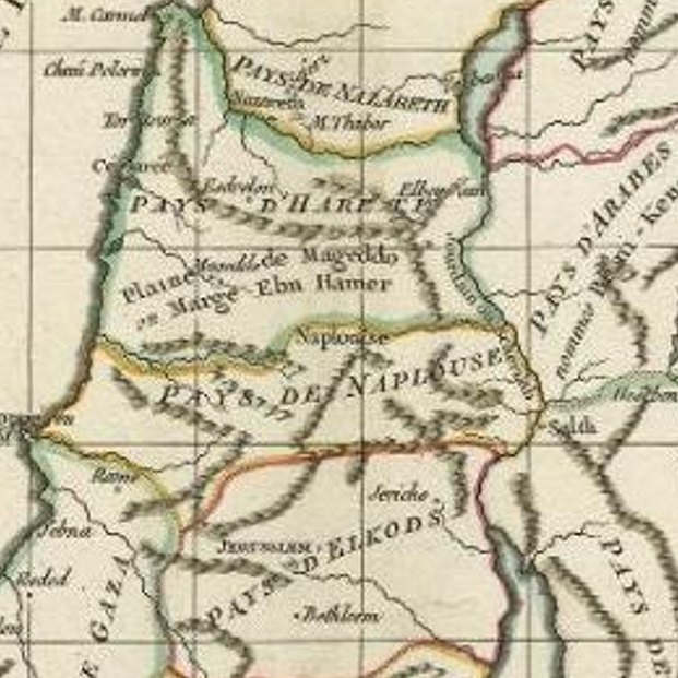
Close-ups
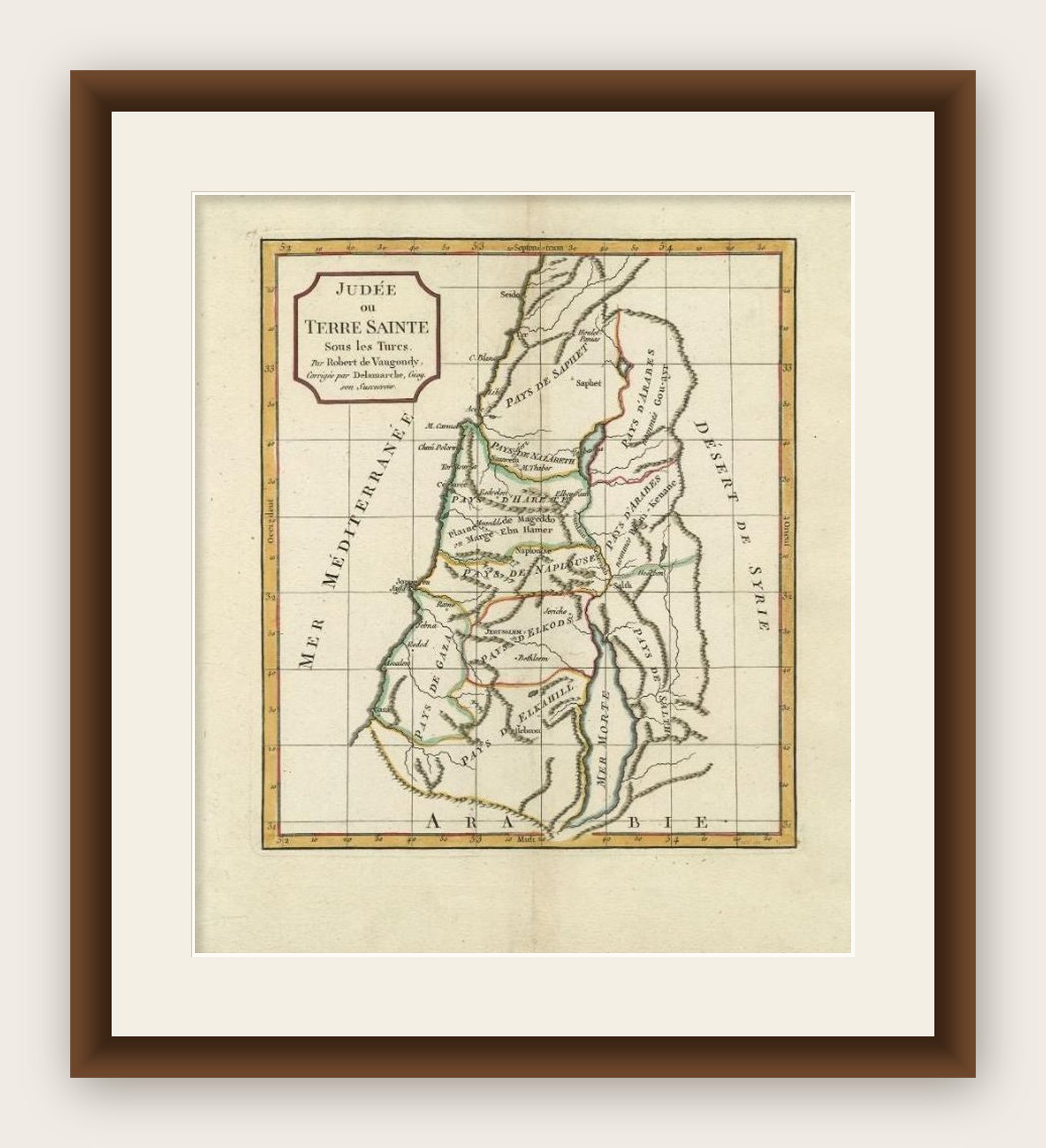
Framed and on the wall
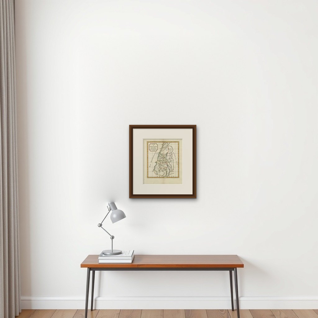

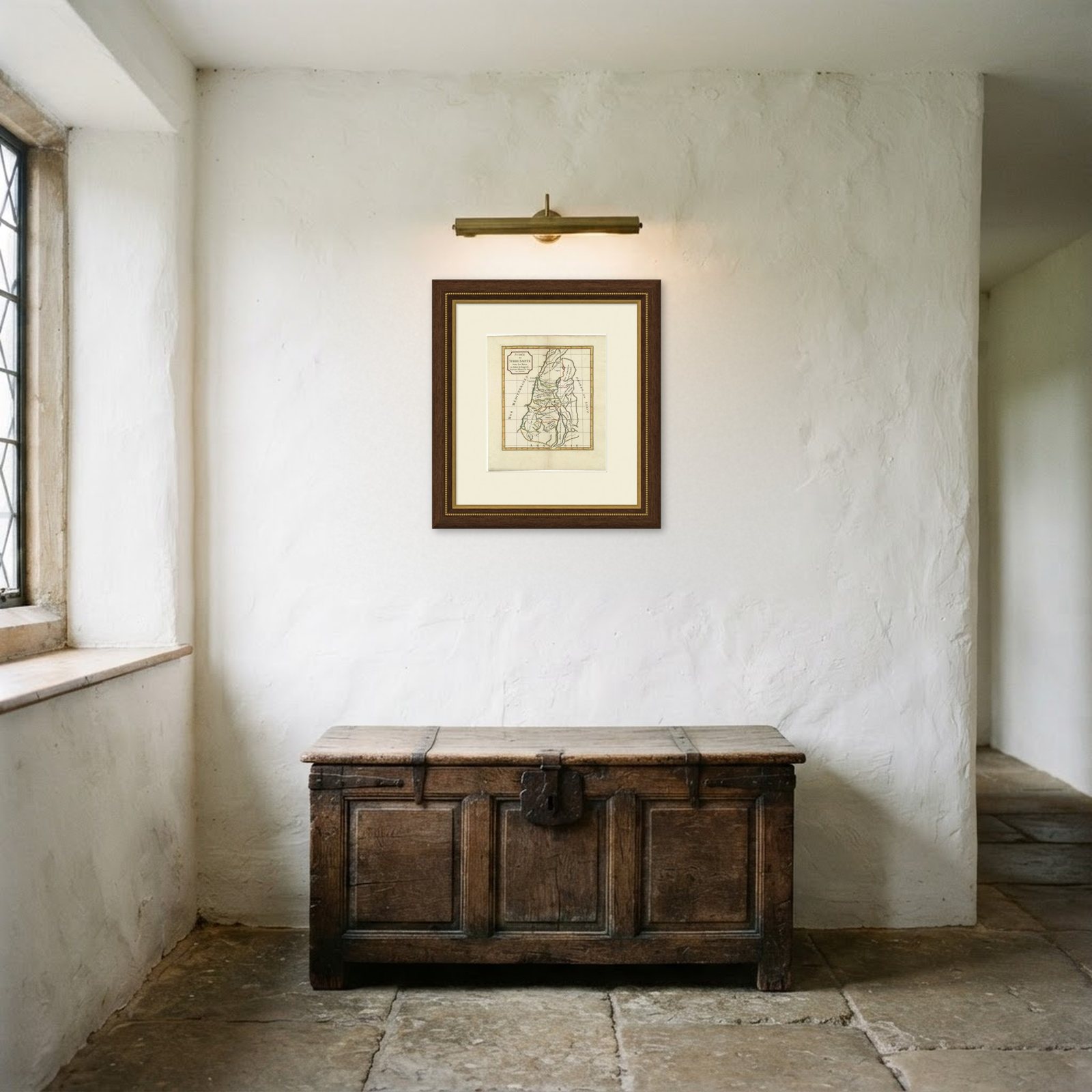
Frame and rooms are illustrations of how the print could look, drawn to its real size; it is sold unframed unless the description says otherwise.
The Holy Land
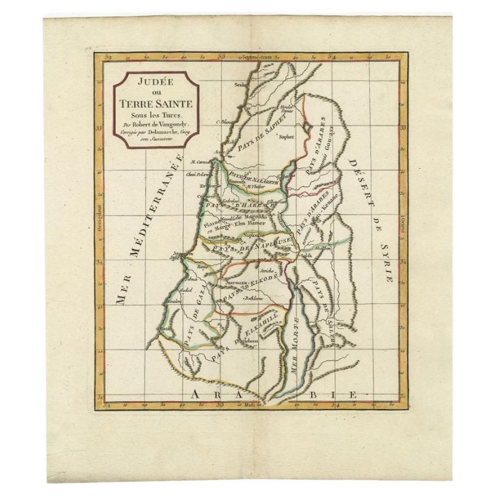
Antique Map of the Holy Land by Delamarche, 1806
Anno Domini MDCCCVI1806
$200$14030% off
€126 · £105
Original print, not a reproduction
Ships worldwide from the Netherlands, flat or rolled, insured and tracked. 14-day returns.
- Date
- 1806
- Sheet size
- 12.3 × 10.8 in (31.2 × 27.5 cm)
- Condition
- Good. Given age. Original middle fold as issued. General age-related toning and/or occasional minor defects from handling. Please study image carefully.
- Faith
- Christianity, Judaism
- Collection
- The Holy Land
- Era
- 1800 to 1849, Travellers and the costume books
- Stock no.
- PCT-61598
What the condition grades mean
- Excellent
- Bright and clean, with no faults worth mentioning.
- Very good
- Only light signs of age, such as faint toning.
- Good
- Normal signs of age for a sheet of this period: toning, some foxing, small marks or neat old repairs.
- Fair
- Clear faults such as staining, tears or repairs, priced to match.
Every fault we see is written in the condition note, and the whole sheet is shown uncropped in the photos.
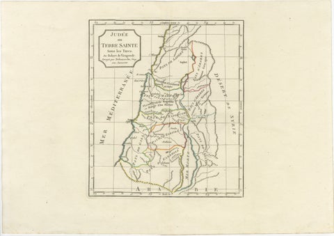
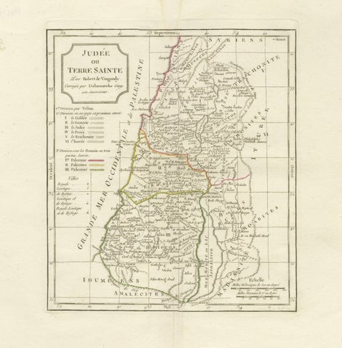
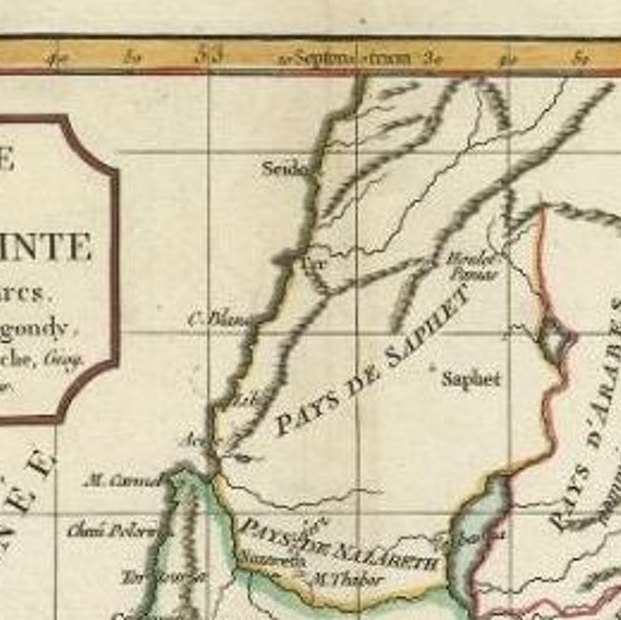
Antique map titled 'Judee ou Terre Sainte sous les Turcs.' This map shows the holy land under the Turcs. By Robert de Vaugondy, revised and published by Delamarche. Source unknown, to be determined.
Artists and Engravers: Made by 'Charles Francois Delamarche' after an anonymous artist. Charles Francois Delamarche (1740-1817) founded the important and prolific Paris based Maison Delamarche map publishing firm in the late 18th century. A lawyer by trade Delamarche entered the map business with the acquisition from Jean-Baptiste Fortin of Robert de Vaugondy's map plates and copyrights and later addes many plates from other sources as well. Charles Delamarche eventually passed control of the firm to his son Felix Delamarche (18th C., 1st half 19th C.) and geographer Charles Dien (1809-1870). It was later passed on to Alexandre Delamarche, who revised and reissued several Delamarche publications in the mid-19th century. The firm continued to publish maps and globes until the middle part of the 19th century.
Image size: 21 x 24 cm.
Explore