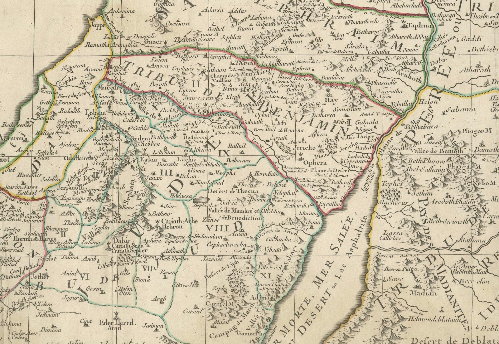
Close-ups
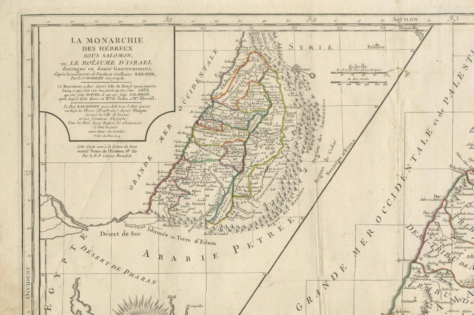
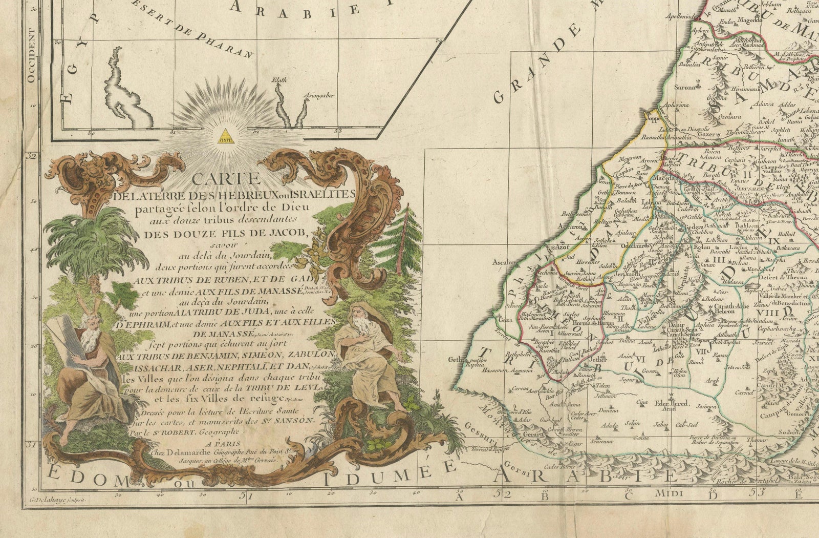
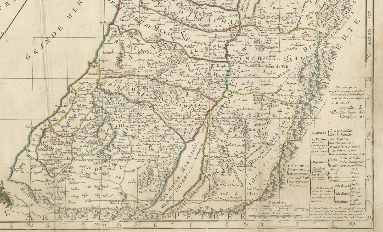
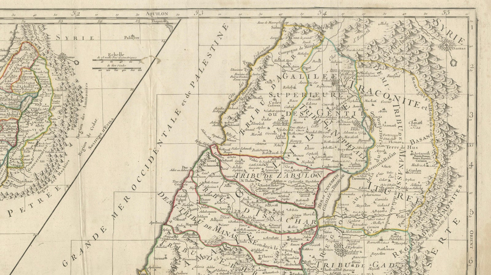
Framed and on the wall
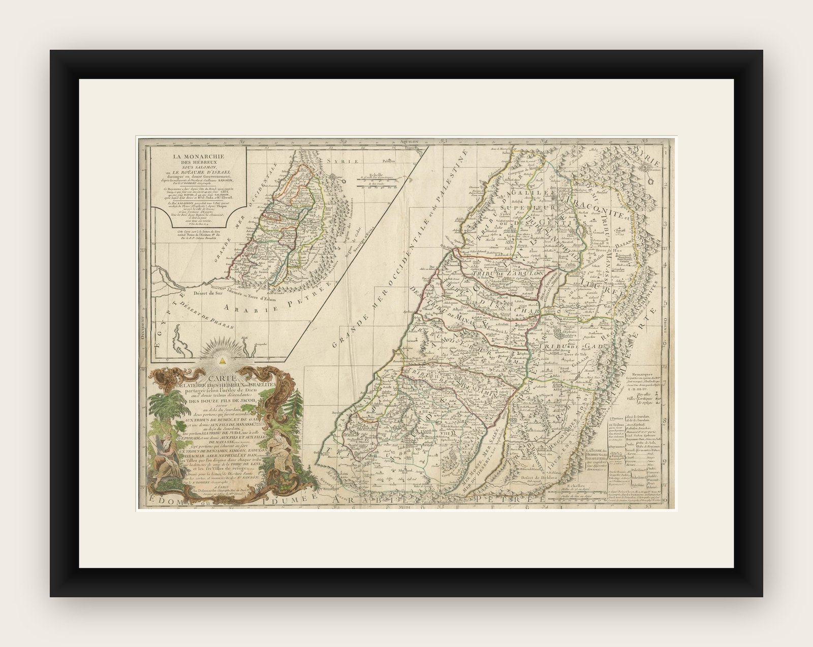

Frame and rooms are illustrations of how the print could look, drawn to its real size; it is sold unframed unless the description says otherwise.
The Holy Land
Holy Land Map of the Twelve Tribes of Israel, After Sanson, Paris c.1798
Anno Domini MDCCXCVIII1798
€480
$540 · £405
Original print, not a reproduction
Ships worldwide from the Netherlands, flat, insured and tracked. 14-day returns. To buy, use Ask a question (info@antiquesacredprints.com) and we will reserve it for you.
- Date
- 1798
- Sheet size
- 19.3 × 27.2 in (49 × 69 cm)
- Condition
- Fair. Repaired: Old worming affecting the central fold, repaired from the verso. Tape and old reinforcements on the back. Fair condition. Some creasing and surface wear. Old worming affecting the central fold, repaired from the verso. Tape and old reinforcements on the back. Light to moderate overall
- Faith
- Christianity, Judaism
- Collection
- The Holy Land
- Era
- 1700 to 1799, Mortier, Picart and the illustrated Bible
- Stock no.
- f_48101602
Holy Land, Twelve Tribes of Israel, After Nicolas Sanson, De Vaugondy / Delamarche, c.1798
Description:
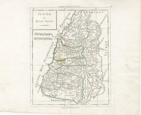
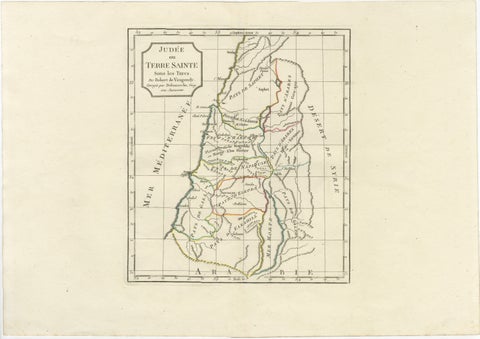
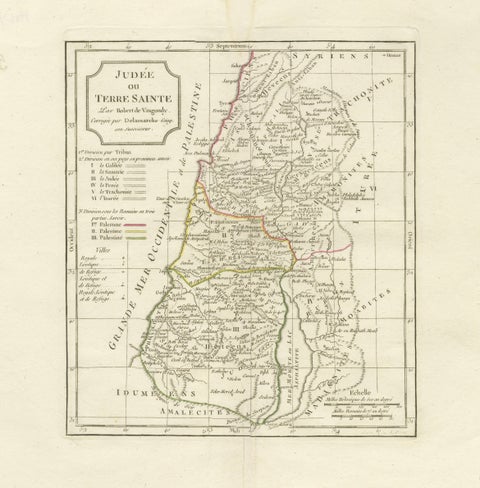
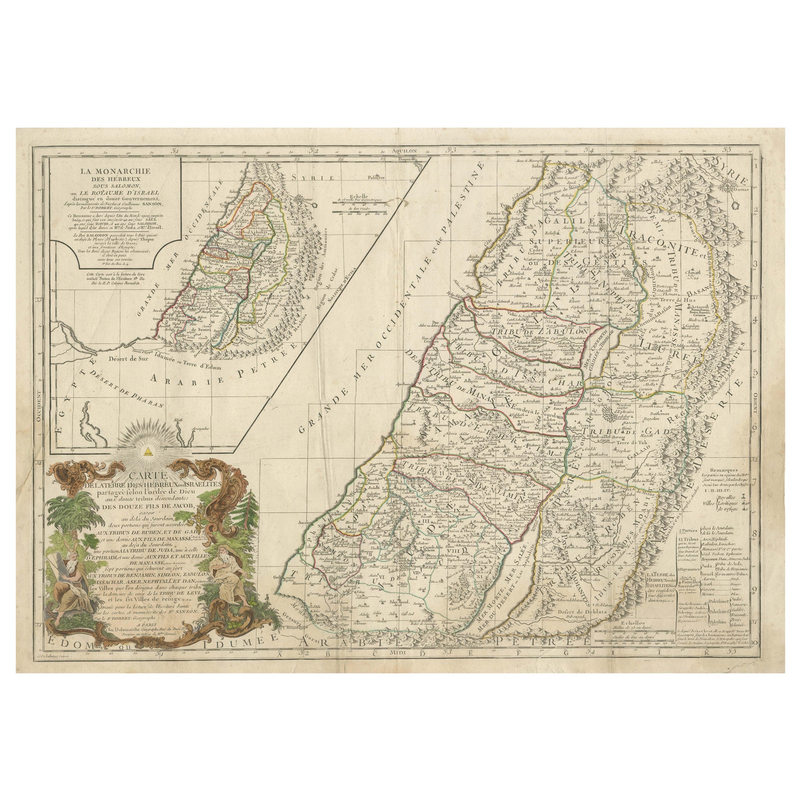
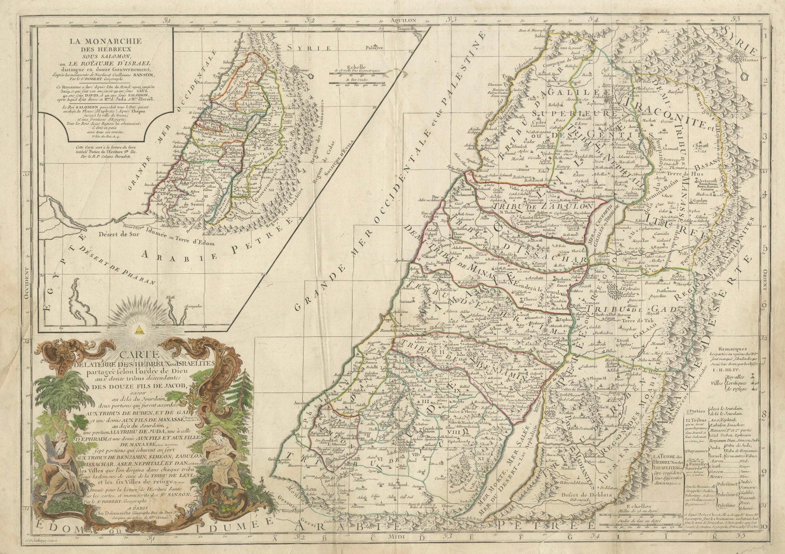
Holy Land. De Vaugondy (G. R.), Carte de la Terre des Hébreux ou Israélites, partagée selon l’Ordre de Dieu aux Douze Tribus descendantes des Douze Fils de Jacob. Paris, published by Charles-François Delamarche, circa 1798.
Large engraved biblical map of the Holy Land showing the division of the land among the Twelve Tribes of Israel, based on the cartography of Nicolas Sanson (1600 to 1667). The map depicts the territories west and east of the River Jordan, including Judah, Benjamin, Ephraim, Manasseh, Dan, Issachar, Zebulon, Asher, Naphtali, Reuben, and Gad, with cities, deserts, mountain ranges, and waterways carefully delineated.
This late 18th-century issue was published by Delamarche, successor to the Sanson and De Vaugondy cartographic tradition, and reflects continued European interest in biblical geography. The map is engraved on copper and finished with contemporary outline hand-coloring to distinguish the tribal boundaries. Decorative elements include an elaborate baroque cartouche and an inset map illustrating the lands east of the Jordan.
Condition:
Fair condition. Some creasing and surface wear. Old worming affecting the central fold, repaired from the verso. Tape and old reinforcements on the back. Light to moderate overall toning. No major loss to the engraved image.
Dimensions: 490 × 690 mm (approx. 19.3 × 27.2 inches)
Technique: Copper engraving with contemporary outline hand-coloring
Maker: After Nicolas Sanson; published by Charles-François Delamarche, Paris, circa 1798