Close-ups
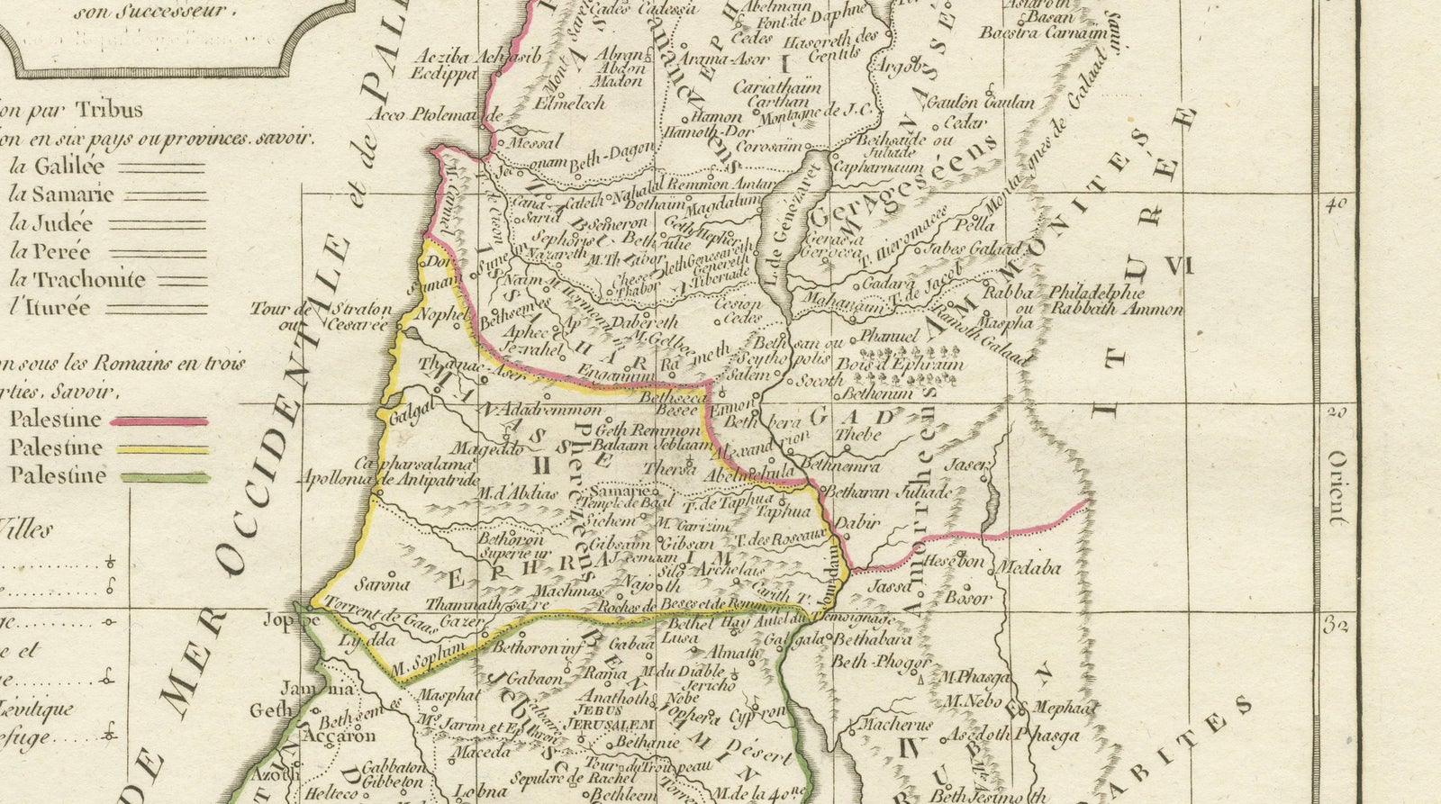
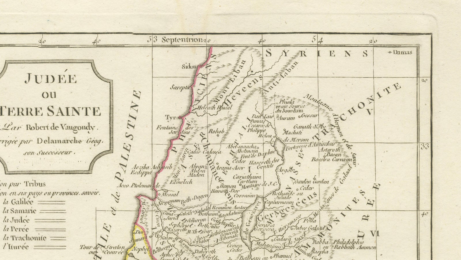
Framed and on the wall
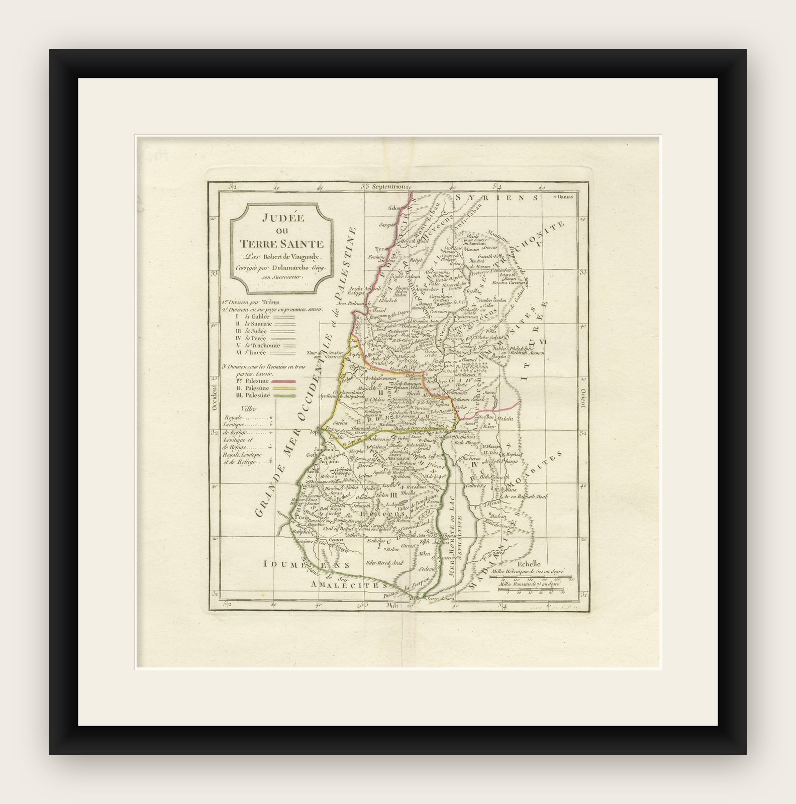

Frame and rooms are illustrations of how the print could look, drawn to its real size; it is sold unframed unless the description says otherwise.
The Holy Land
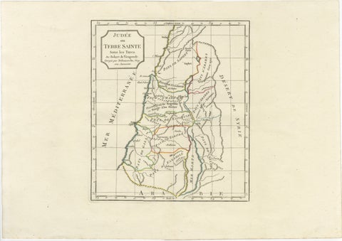
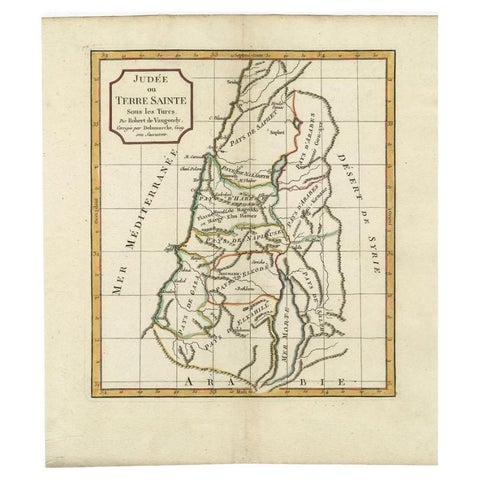
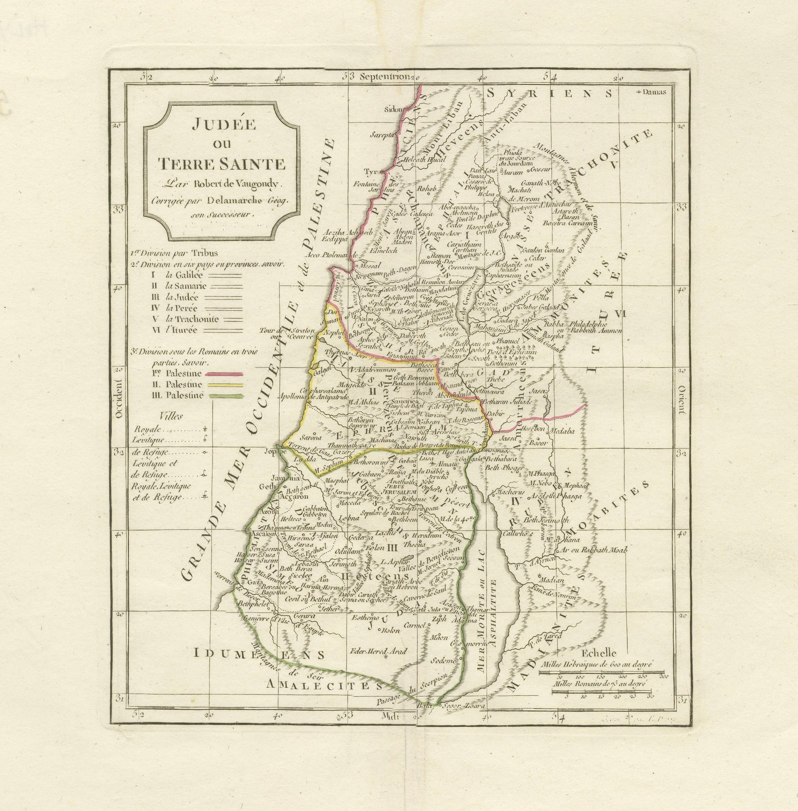
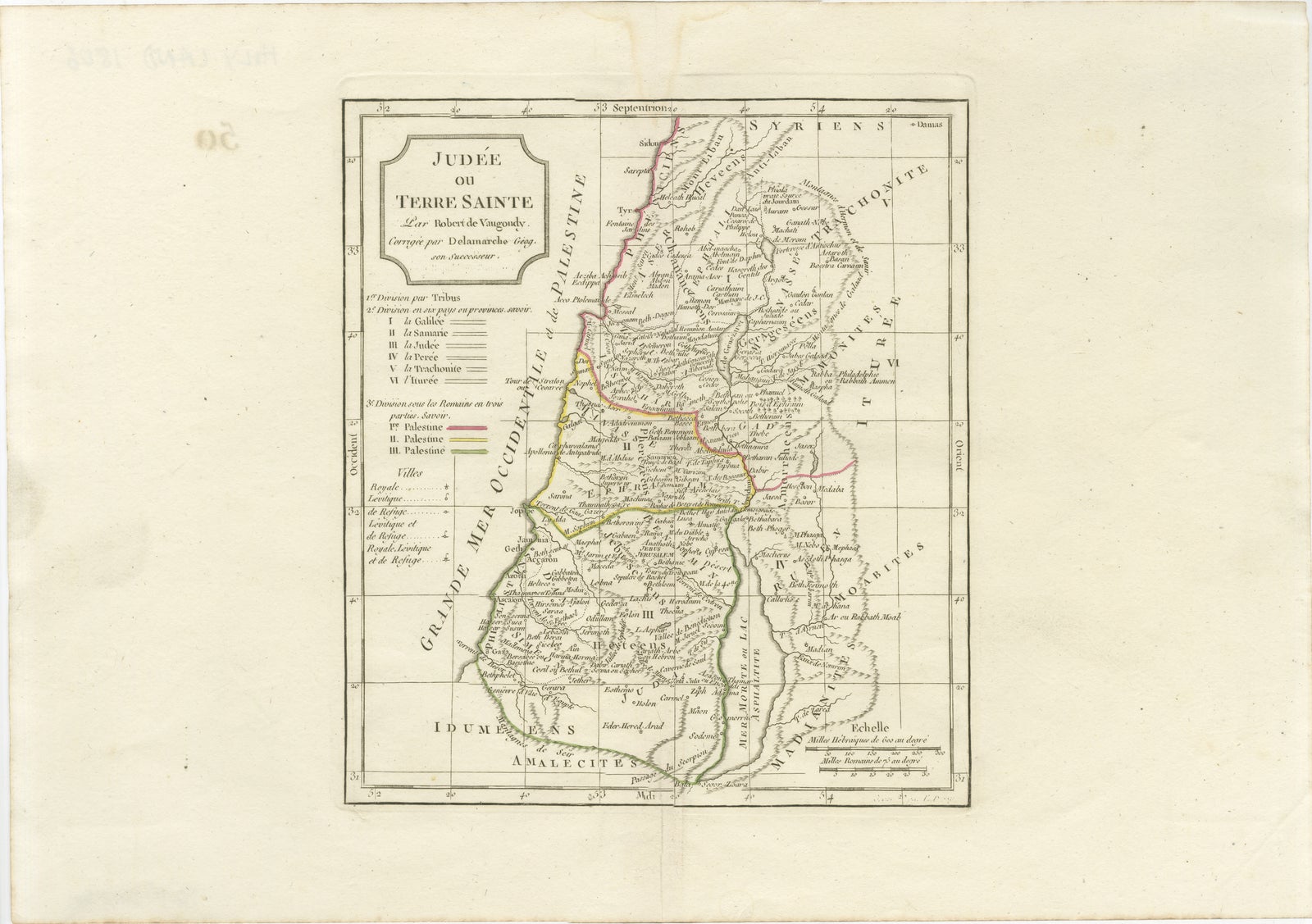
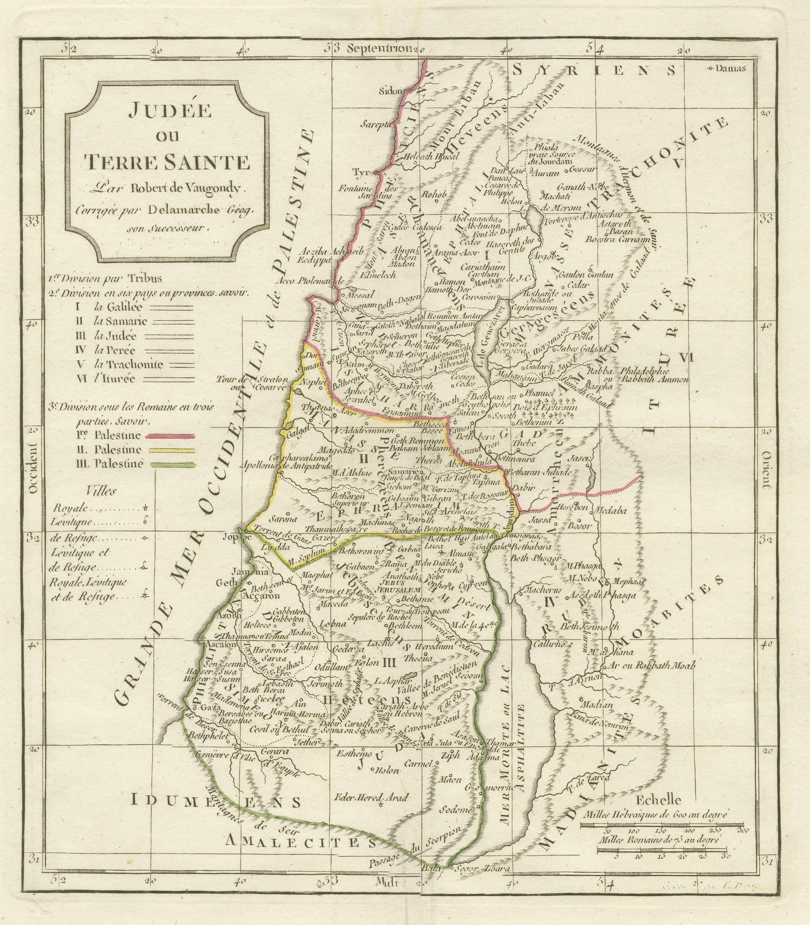
Antique Holy Land Map, Judée ou Terre Sainte, Robert de Vaugondy, 1806
Anno Domini MDCCCVI1806
€360
$405 · £305
Original print, not a reproduction
Ships worldwide from the Netherlands, flat, insured and tracked. 14-day returns. To buy, use Ask a question (info@antiquesacredprints.com) and we will reserve it for you.
- Date
- 1806
- Sheet size
- 12.4 × 17.7 in (31.5 × 45 cm)
- Condition
- Good. Good antique condition with light age toning, minor foxing, and soft fold lines as issued. Margins remain wide and attractive, with overall strong visual presentation.
- Faith
- Christianity
- Collection
- The Holy Land
- Era
- 1800 to 1849, Travellers and the costume books
- Stock no.
- f_50061972
Antique Holy Land Map, Judée ou Terre Sainte, Robert de Vaugondy, 1806
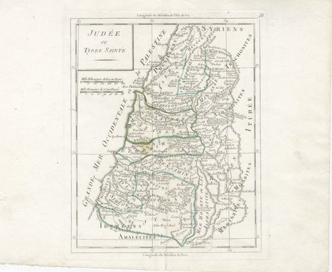
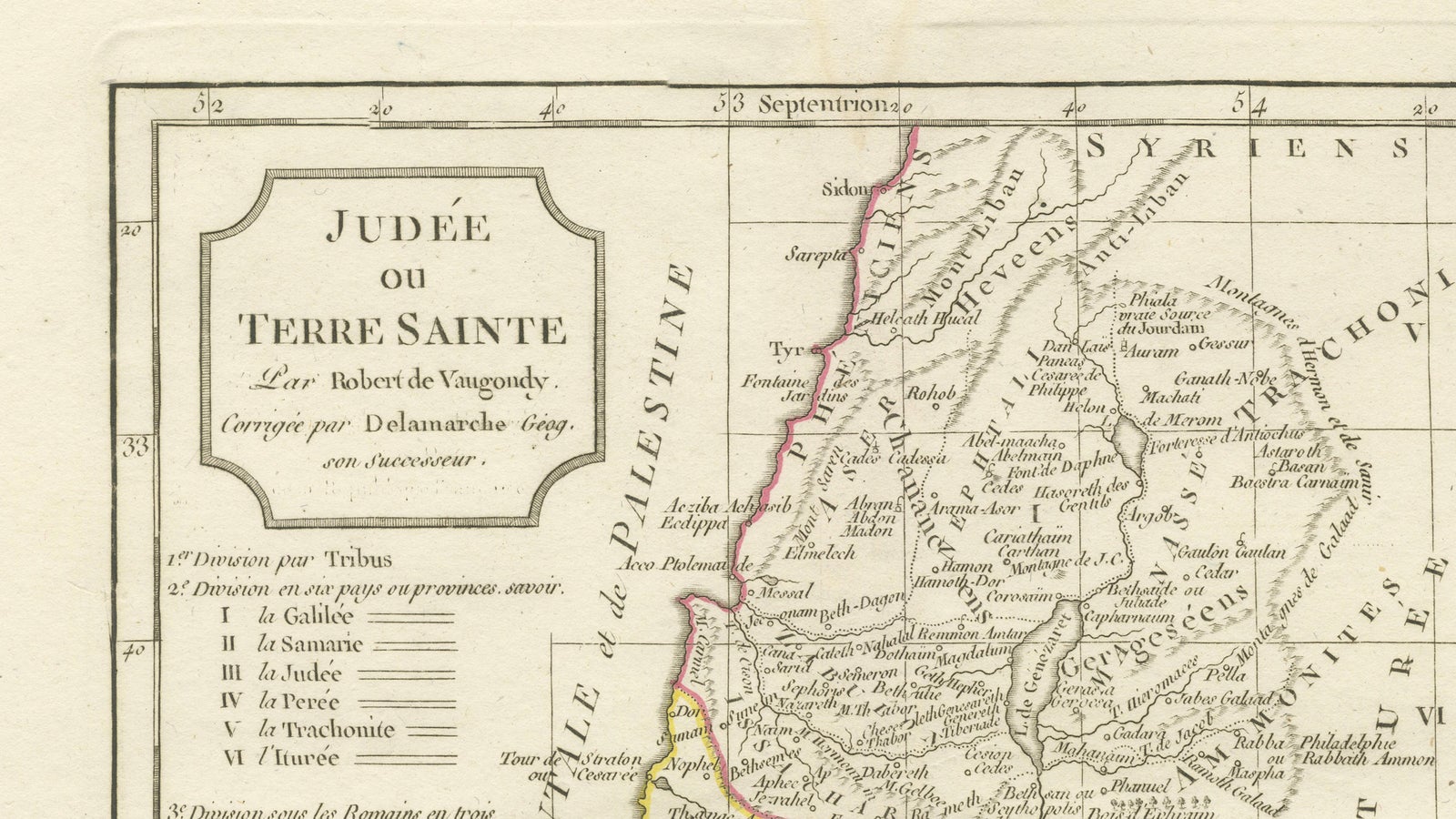
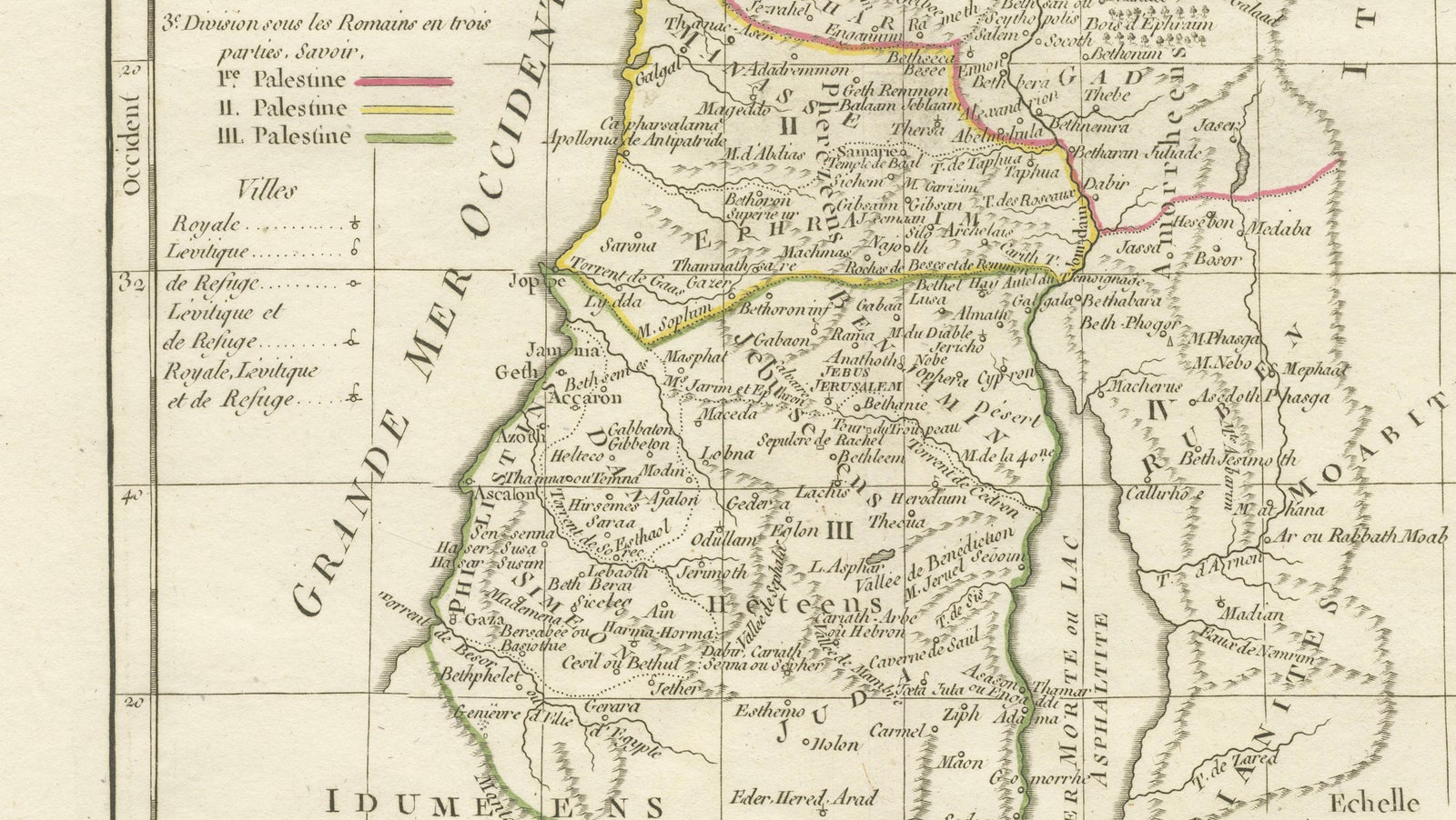
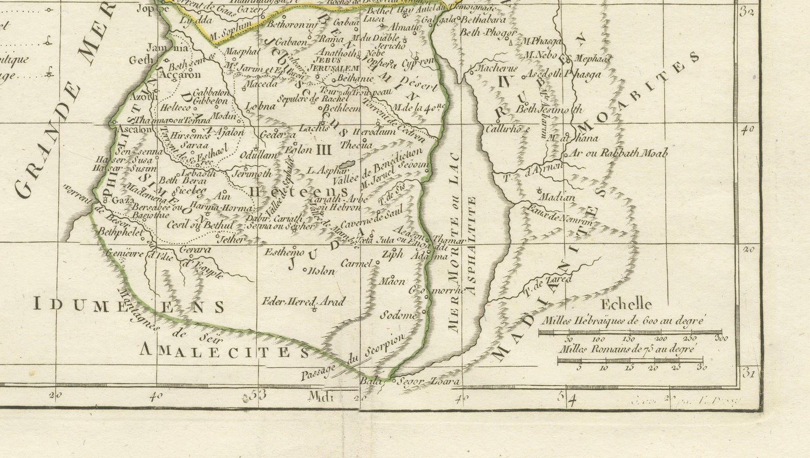
Elegant antique map of the Holy Land titled “Judée ou Terre Sainte,” originally engraved after the celebrated French cartographer Robert de Vaugondy and corrected by Delamarche Géographe. Published in Paris around 1806, this finely engraved map depicts the biblical regions of Judea, Samaria, Galilee, Idumea, and surrounding territories along the Mediterranean coast and the River Jordan.
The map is rich in historical and biblical detail, identifying ancient cities, tribal divisions, rivers, mountains, and religious sites associated with the Old and New Testaments. Delicate original outline hand-coloring distinguishes the territorial divisions and adds refined decorative appeal to the composition. The elegant title cartouche and balanced French engraving style reflect the sophistication of late 18th- and early 19th-century Parisian cartography.
Maps of the Holy Land by Robert de Vaugondy were widely admired for their accuracy and scholarly character, making them highly desirable among collectors of biblical geography, early cartography, and religious history.
The print is an original antique engraving, not a reproduction. All items we offer are authentic period works of art over 100 years old. The piece is sold unframed; any framed images are shown for presentation and interior inspiration only and may not always be to scale.
Condition: Good antique condition with light age toning, minor foxing, and soft fold lines as issued. Margins remain wide and attractive, with overall strong visual presentation.
Framing tips: Particularly suited to a dark walnut, gilded, or ebonized frame with a warm ivory mat for a classic library or study appearance.
Technique: Copperplate engraving with original hand coloring
Maker: Robert de Vaugondy / Delamarche, Paris, 1806
Explore