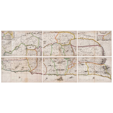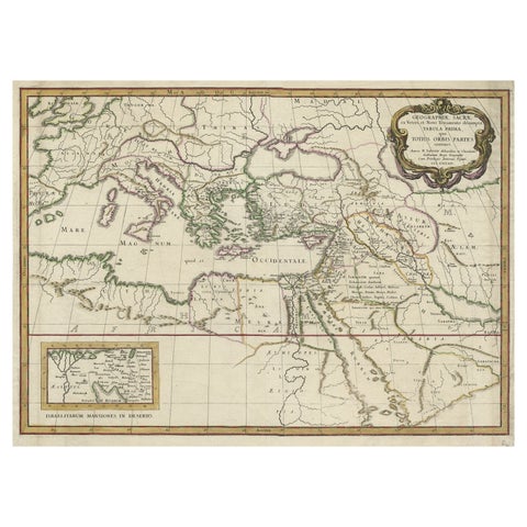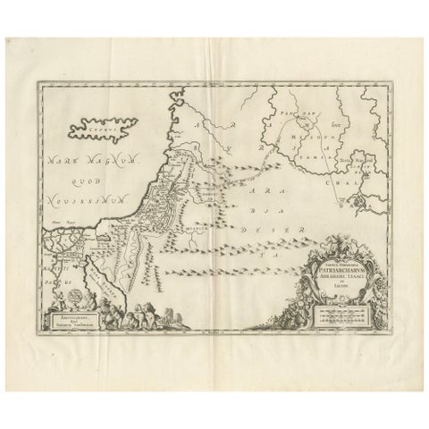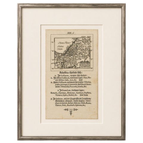
Close-ups
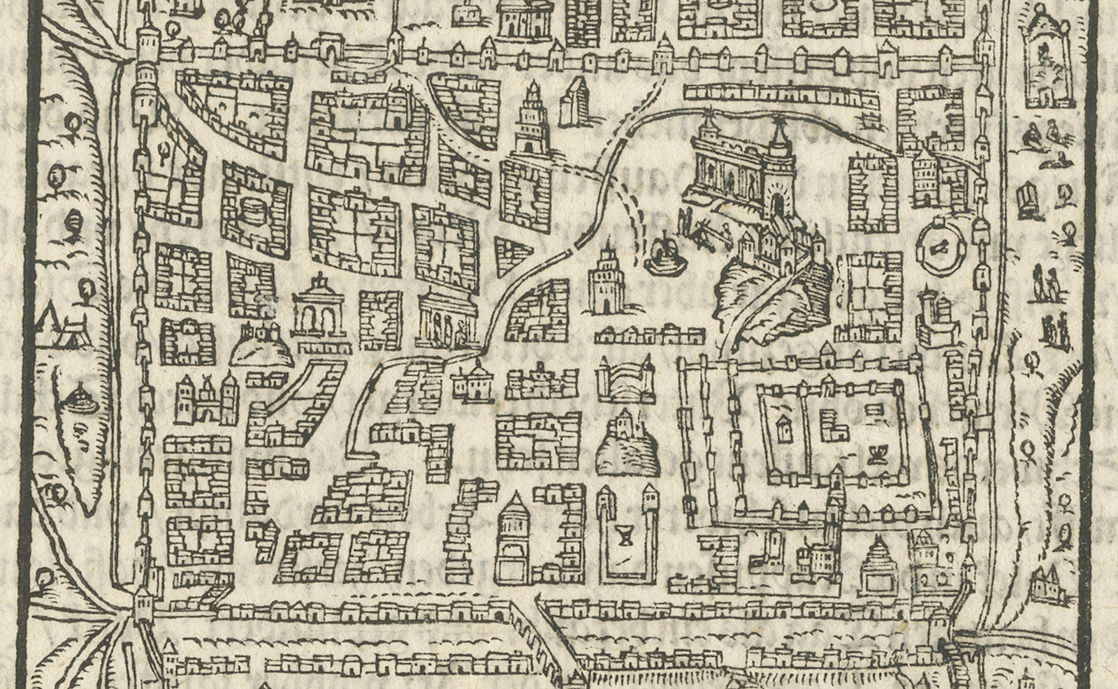
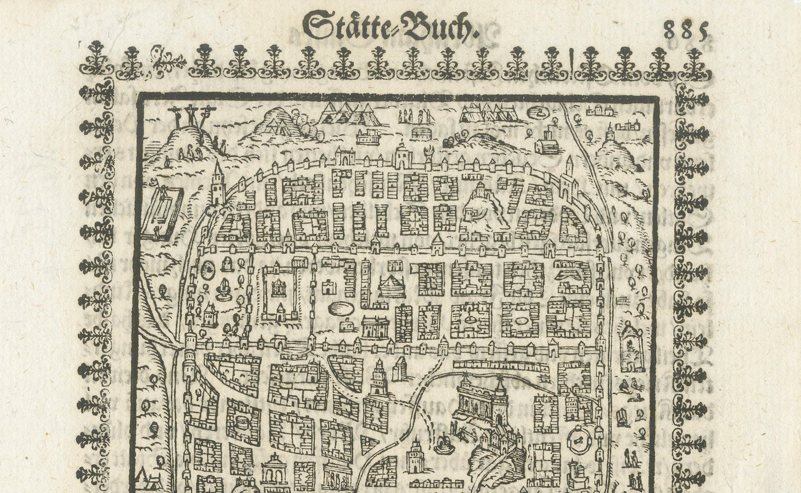
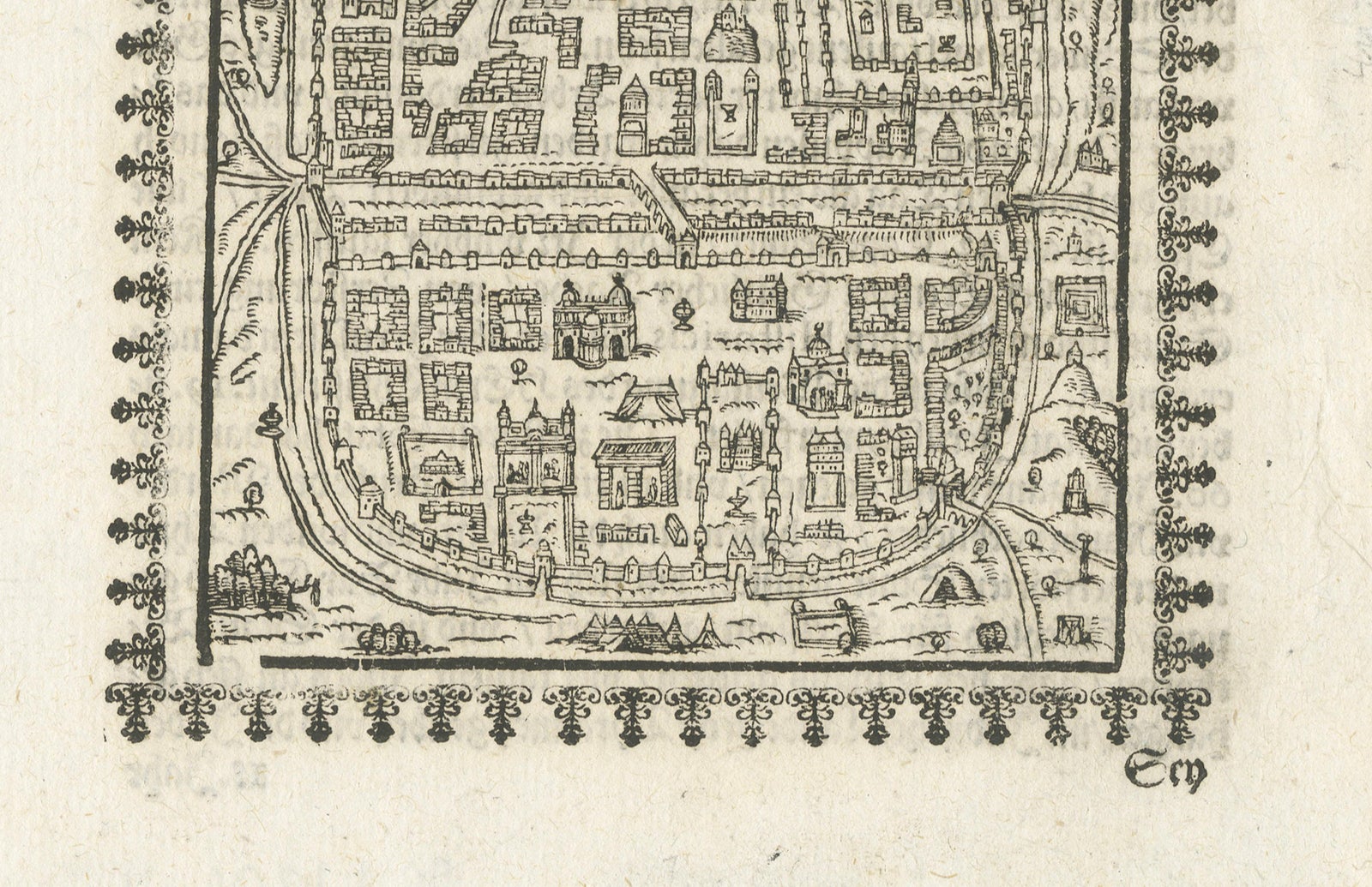
Framed and on the wall
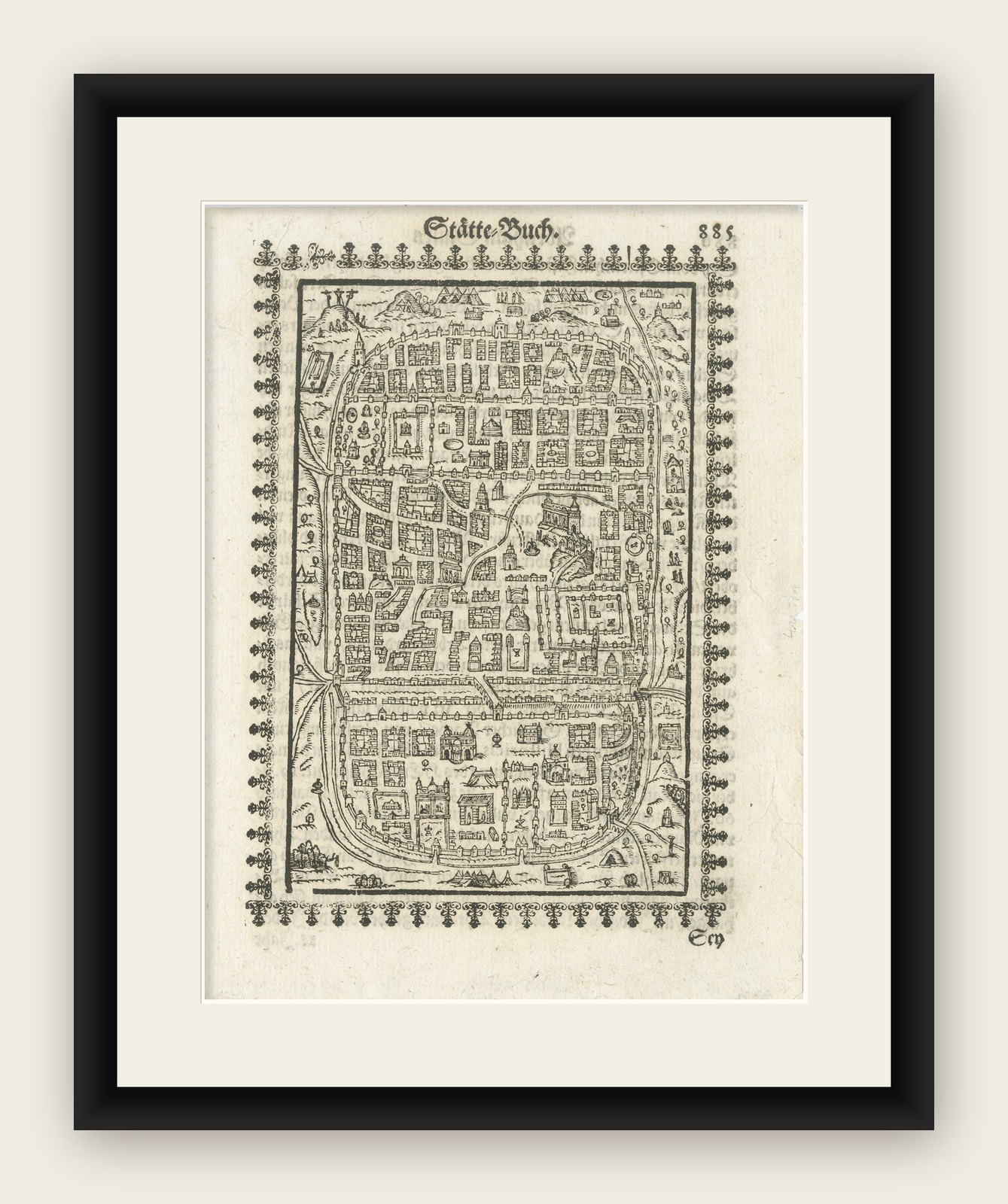
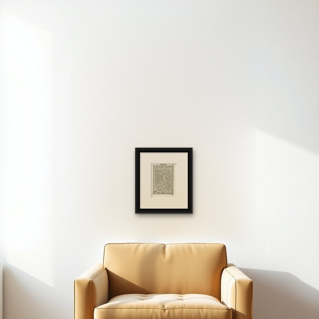

Frame and rooms are illustrations of how the print could look, drawn to its real size; it is sold unframed unless the description says otherwise.
The Holy Land
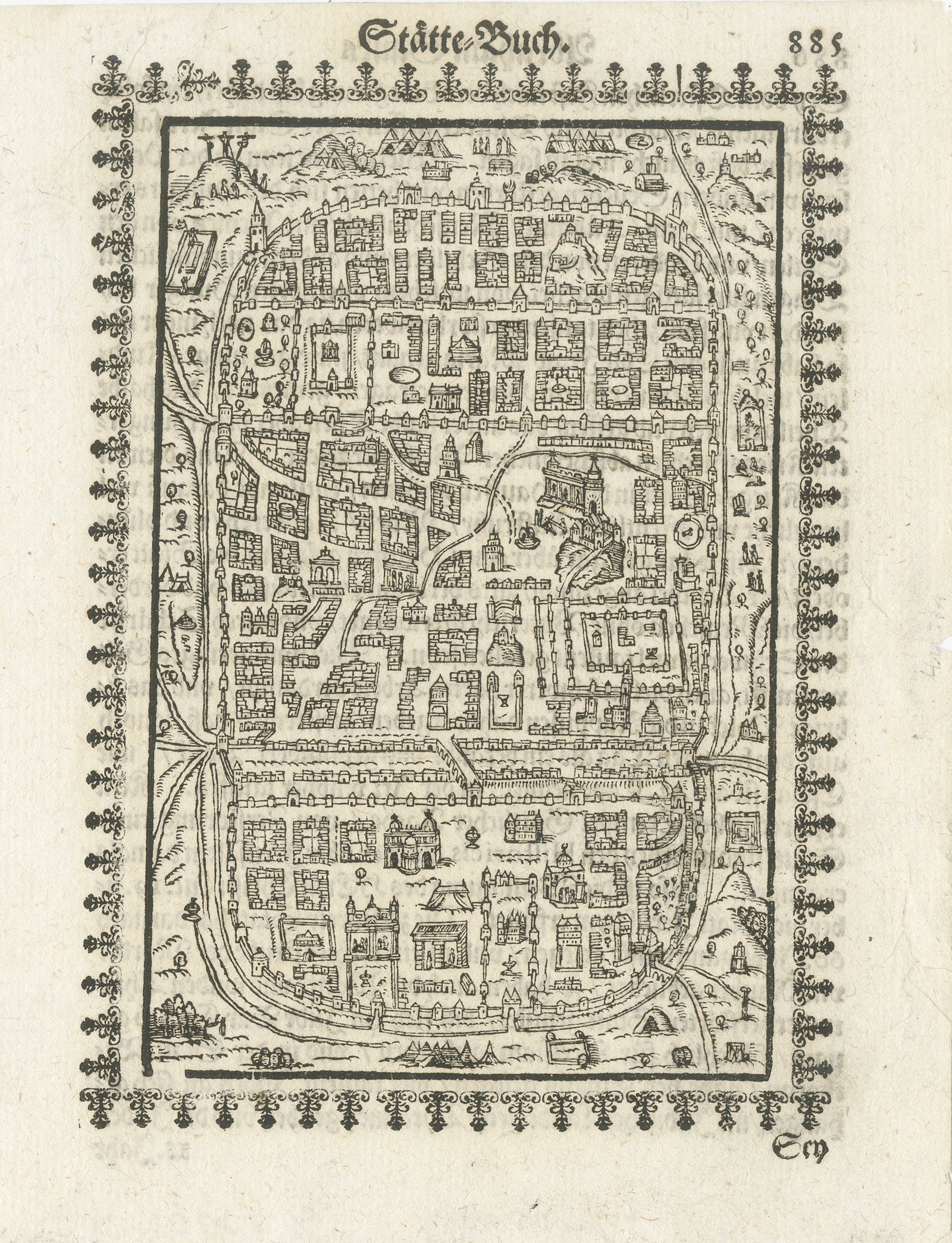
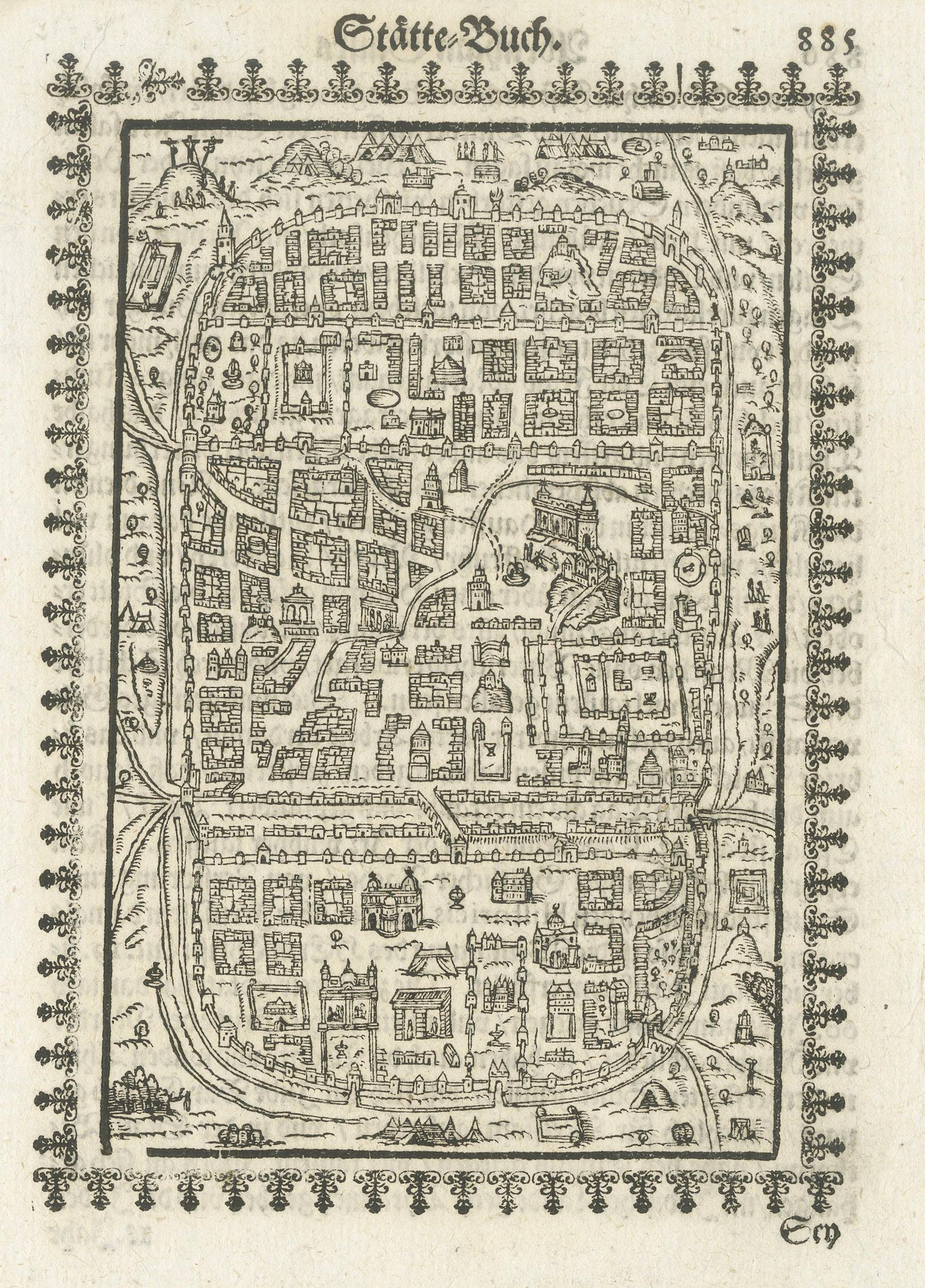
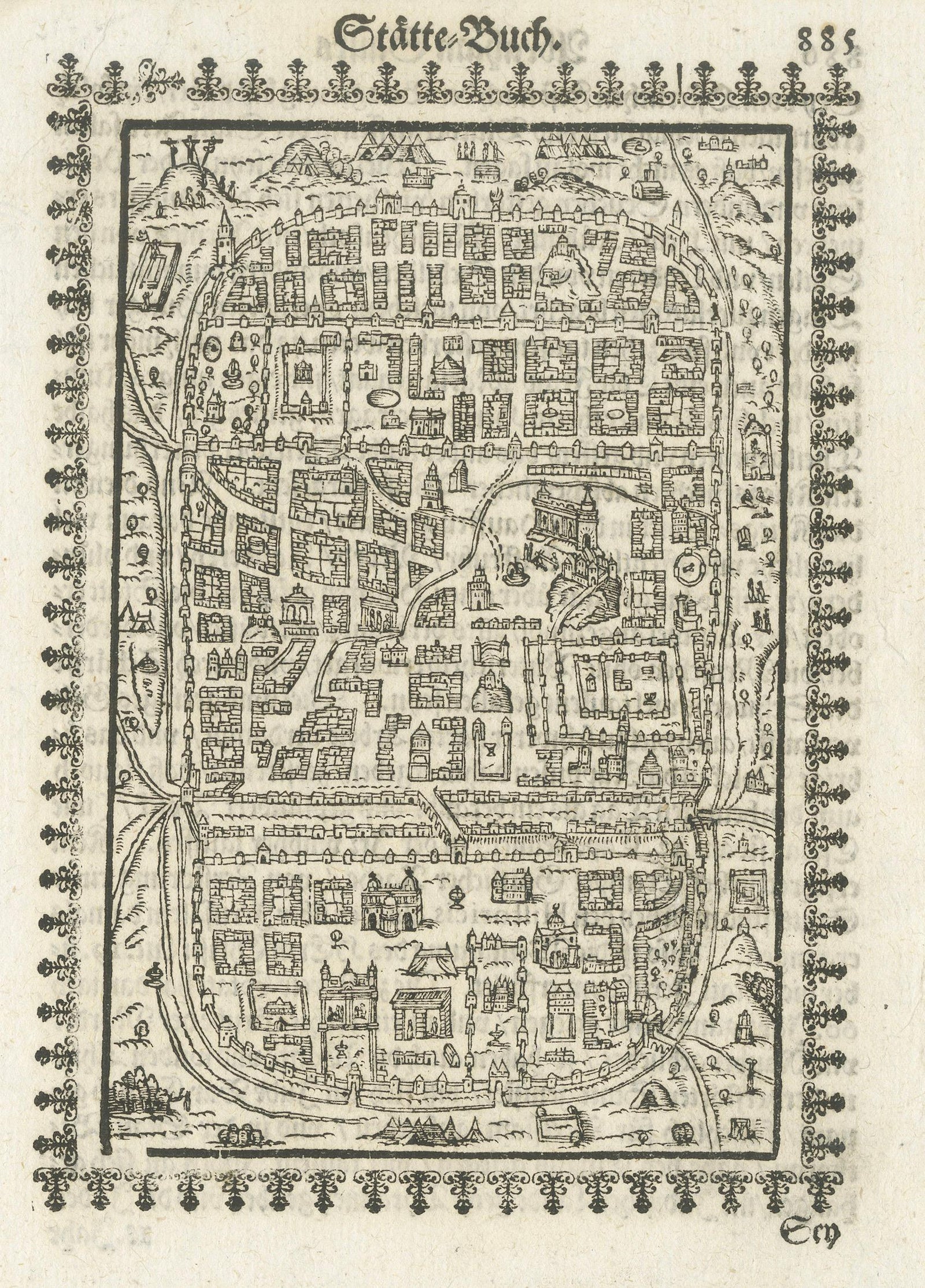
17th Century Woodcut Map of Jerusalem from Abraham Saur’s Städte-Buch, 1658
Anno Domini MDCLVIII1658
€1,190
$1,340 · £1,010
Original print, not a reproduction
Ships worldwide from the Netherlands, flat, insured and tracked. 14-day returns. To buy, use Ask a question (info@antiquesacredprints.com) and we will reserve it for you.
- Date
- 1658
- Sheet size
- 7.2 × 5.5 in (18.4 × 14 cm)
- Condition
- Good. Age-related toning, minor staining, and light edge wear consistent with age. Strong dark impression with attractive contrast and well-preserved ornamental border. Overall in very good antique condition for a 17th-century woodcut.
- Faith
- Christianity, Judaism
- Collection
- The Holy Land
- Era
- Before 1700, Woodcuts and the great atlases
- Stock no.
- f_50236012
Title: 17th Century Woodcut Map of Jerusalem from Abraham Saur’s Städte-Buch, 1658
Description:
A rare and visually compelling 17th-century German woodcut map of Jerusalem published by Abraham Saur in 1658 as part of his celebrated Städte-Buch (“Book of Cities”). This finely detailed bird’s-eye plan presents the Holy City enclosed within fortified walls, rendered in the distinctive graphic style characteristic of mid-17th-century German devotional and historical printing.
The composition depicts Jerusalem as an idealized sacred city, filled with densely arranged buildings, churches, gates, towers, and ceremonial spaces. Streets and architectural blocks are arranged in a schematic yet highly decorative manner, creating a visually powerful image that combines cartography, theology, and symbolic urban representation. The elaborate ornamental border surrounding the plan enhances the decorative impact of the sheet and reflects the continuing influence of Renaissance and early Baroque book illustration.
Abraham Saur (1545 to 1593) was one of the most influential German Protestant printers and publishers of the Reformation era. His press became renowned for richly illustrated Bibles, theological works, and historical publications. The Städte-Buch continued the tradition of illustrated city books that flourished in the German-speaking world during the 16th and 17th centuries, combining geographical interest with biblical and historical significance.
Jerusalem held extraordinary importance in early modern European imagination, both as the spiritual center of Christianity and as a symbolic representation of sacred history. Maps and views such as this were prized not only for geographic interest but also for devotional contemplation and scholarly study. The stylized representation reflects the medieval and Renaissance tradition of symbolic Holy City mapping rather than strict topographical accuracy, which contributes greatly to its visual and historical appeal.
The strong black-and-white contrast, compact architectural detail, and ornamental border make this sheet particularly attractive for collectors of early maps, biblical imagery, Holy Land material, and German woodcuts. Its primitive graphic elegance works exceptionally well in museum-style interiors and scholarly collections.
Original Jerusalem woodcuts from 17th-century German publications remain increasingly desirable among collectors of biblical cartography, Judaica, ecclesiastical art, and antique city plans.
This is an original antique print, not a reproduction. All items we offer are authentic period works of art over 100 years old. The piece is sold unframed; any framed images are shown for presentation and interior inspiration only and may not always be to scale.
Keywords: Jerusalem map, Abraham Saur, Städte-Buch, Holy Land map, antique Jerusalem print, German woodcut, biblical city plan, 17th century map, antique city view, Judaica art, ecclesiastical print, Renaissance cartography, Baroque woodcut, antique Holy City map, biblical illustration, old Jerusalem map, religious cartography, German Bible illustration, antique map print, sacred city
Condition:
Age-related toning, minor staining, and light edge wear consistent with age. Strong dark impression with attractive contrast and well-preserved ornamental border. Overall in very good antique condition for a 17th-century woodcut.
Framing Tips:
This woodcut map displays exceptionally well in museum black, dark walnut, or ebonized frames paired with a wide parchment or ivory-toned mat. Its strong graphic quality and historical subject make it particularly suitable for libraries, studies, ecclesiastical interiors, or sophisticated map collections.
Technique: Woodcut with letterpress typography
Maker: Abraham Saur, Germany, 1658
Explore