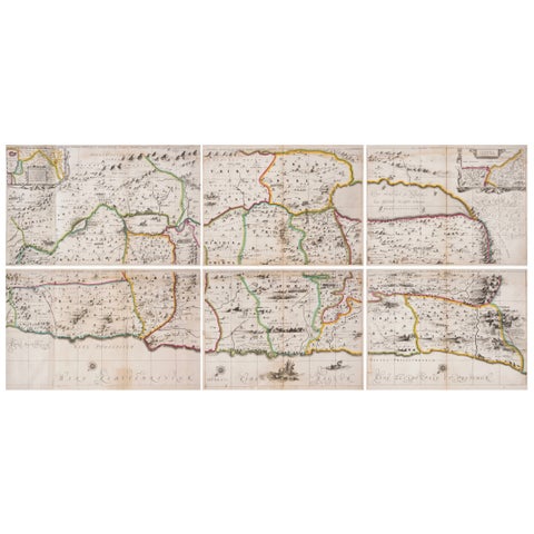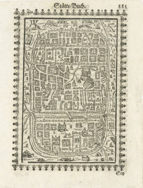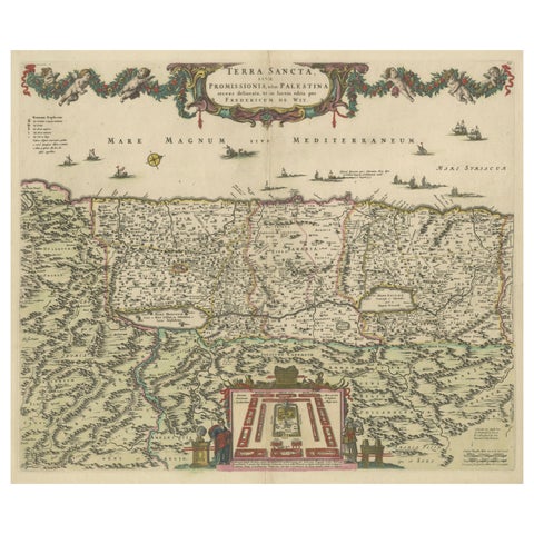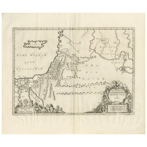
Close-ups
Framed and on the wall
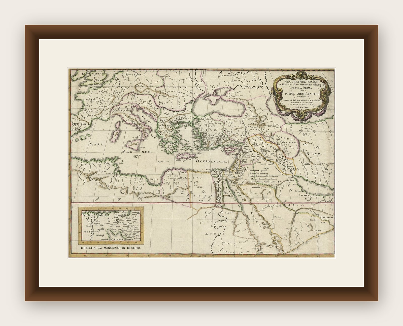
Frame and rooms are illustrations of how the print could look, drawn to its real size; it is sold unframed unless the description says otherwise.
The Holy Land
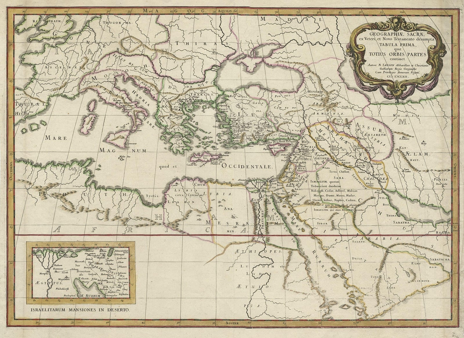
Antique Map of the Holy Land Described in the Old and New Testament, ca.1660
Anno Domini MDCLX1660
€850
$960 · £720
Original print, not a reproduction
Ships worldwide from the Netherlands, flat, insured and tracked. 14-day returns. To buy, use Ask a question (info@antiquesacredprints.com) and we will reserve it for you.
- Date
- 1660
- Sheet size
- 16.1 × 21.5 in (41 × 54.5 cm)
- Condition
- Good. Repaired: Small repaired tear lower right edge. Two tiny worm holes; backed. Some minor crinkles and creases. Irregular bottom edge with an occasional tiny tear. Original folds as issued. General age-related toning. Wear consistent with age and use. Some minor crinkles and creases. Irregular bottom edge with an occasional tiny tear. Original folds as issued. General age-related toning and/or occasional minor defects from handling. Please study image carefully.
- Faith
- Christianity
- Collection
- The Holy Land
- Era
- Before 1700, Woodcuts and the great atlases
- Stock no.
- f_26752012
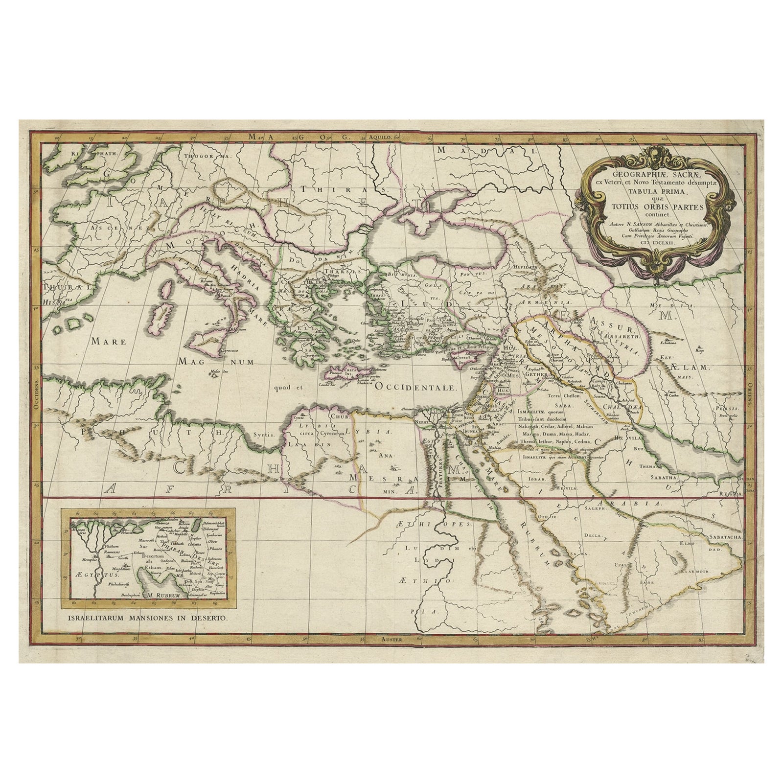
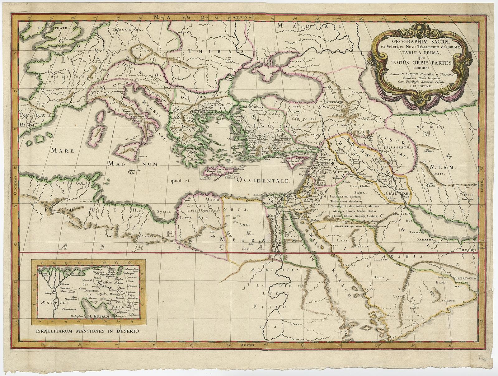
Antique map titled 'Geographiae Sacrae ex Veteri et Novo Testamento Desumptae Tabula Prima quae Totius Orbis Partes Continet.'
Map of the lands described in the Old and New Testament with only biblical place names indicated. The inset at bottom left balances the composition opposite the decorative title cartouche. Titled, Israelitarum Mansiones in Deserto (the stations of the Israelites in the desert), it is a small map of the route of the Exodus. Source unknown, to be determined.
Artists and Engravers: Made by 'Nicholas Sanson d'Abbeville' after an anonymous artist. Nicholas Sanson d'Abbeville (1600, 1667) and his descendents were important French cartographer's active through the 17th century. Sanson started his career as a historian where, it is said, he turned to cartography as a way to illustrate his historical studies. In the course of his research some of his fine maps came to the attention of King Louis XIII who, admiring the quality of his work, appointed Sanson 'Geographe Ordinaire du Roi'. Sanson's duties in this coved position included advising the King on matters of Geography and compiling the royal cartographic archive. Sanson's corpus of some three hundred maps initiated the golden age of French Cartography.
Condition: Good, given age. Small repaired tear lower right edge. Two tiny worm holes; backed. Some minor crinkles and creases. Irregular bottom edge with an occasional tiny tear. Original folds as issued. General age-related toning and/or occasional minor defects from handling. Please study image carefully.
Explore