Close-ups
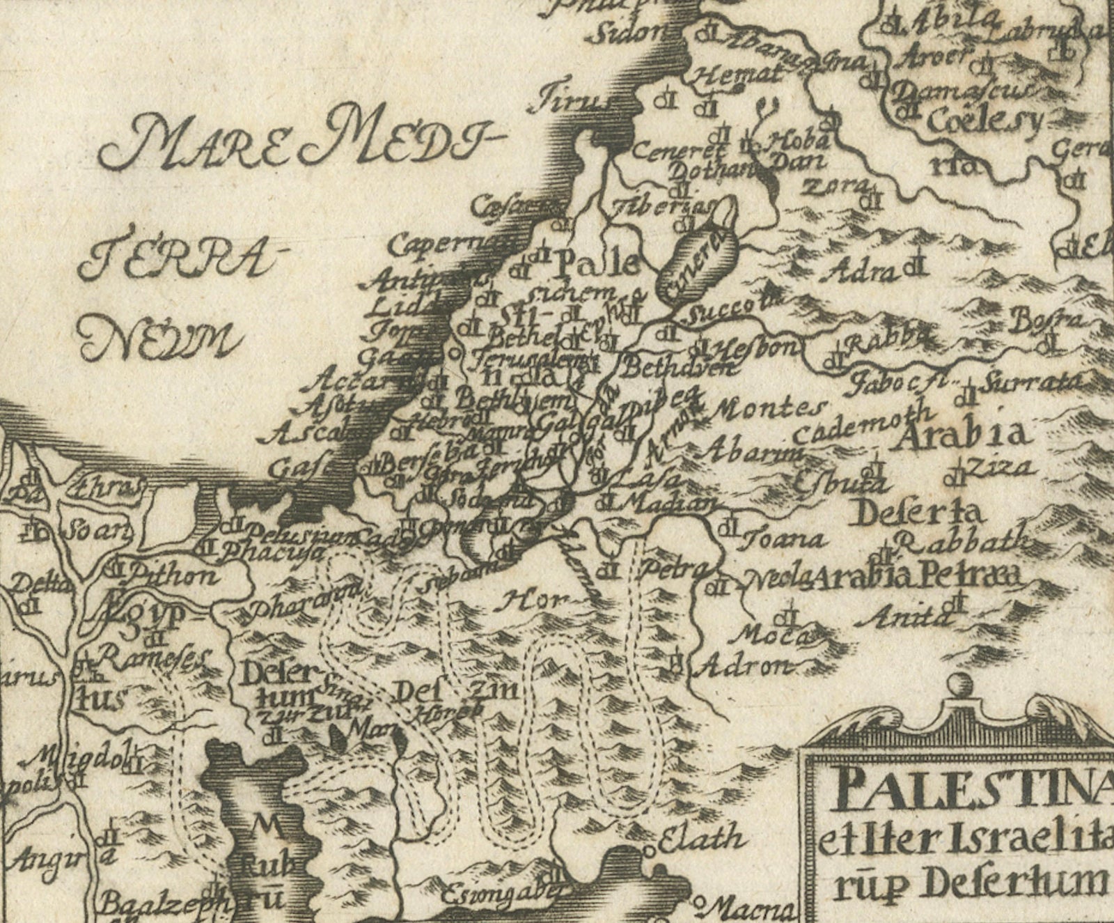
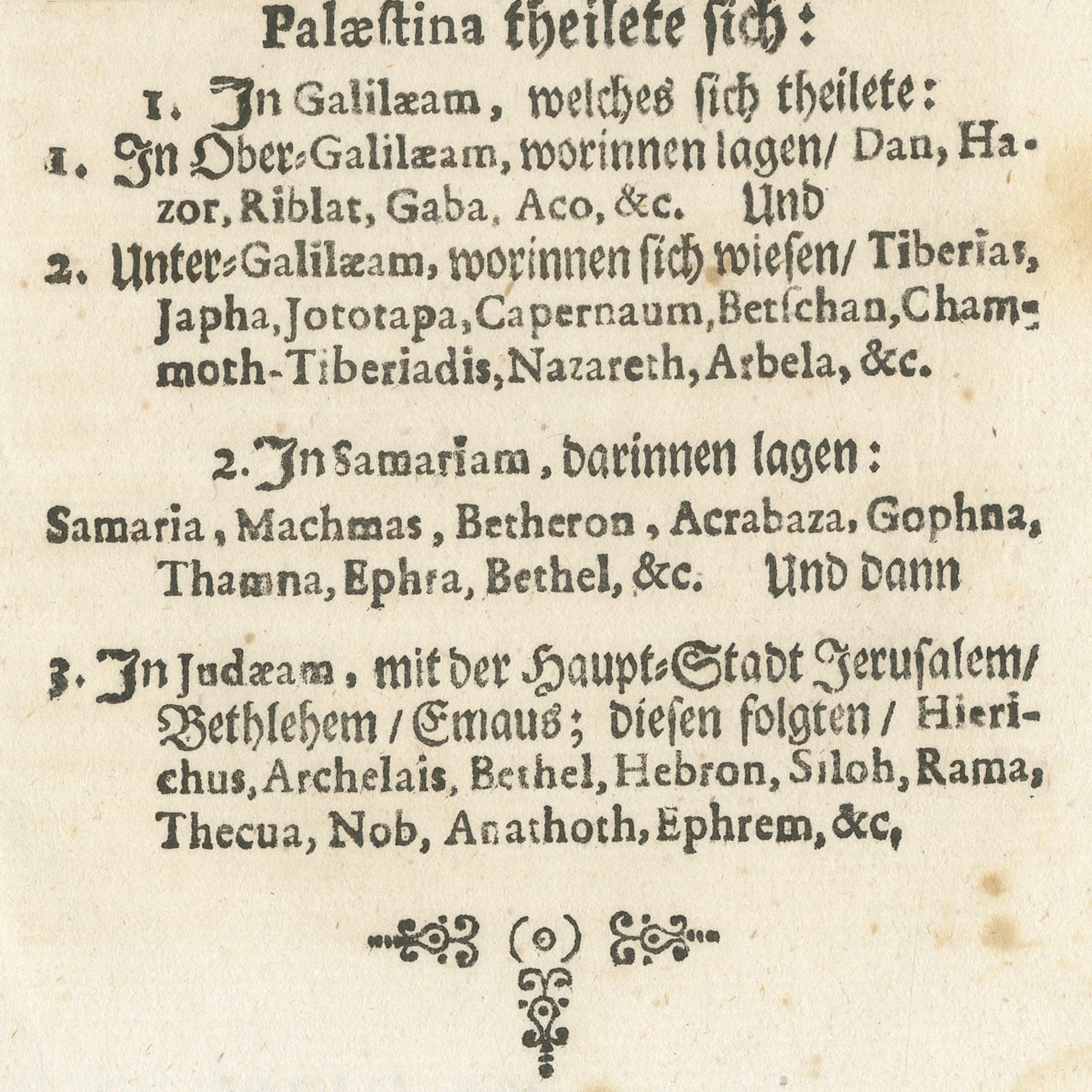
Framed and on the wall
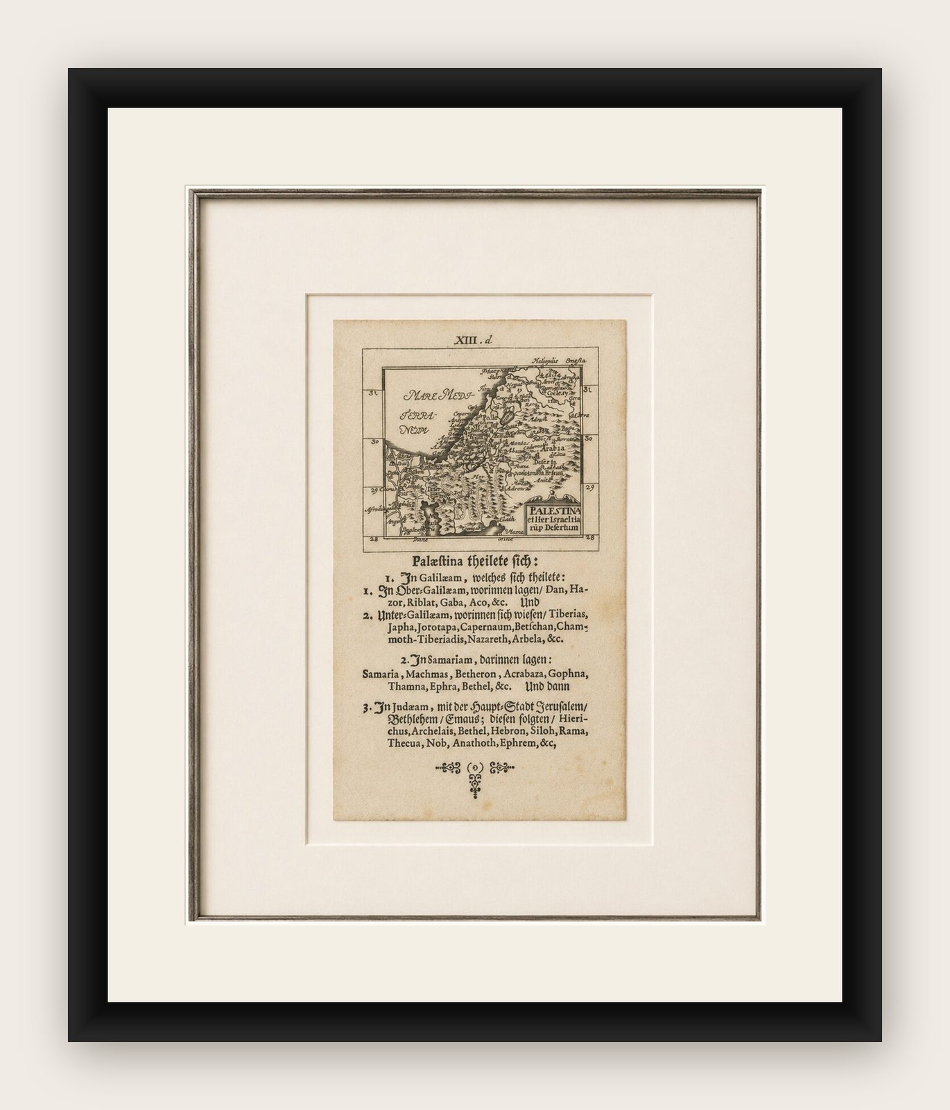

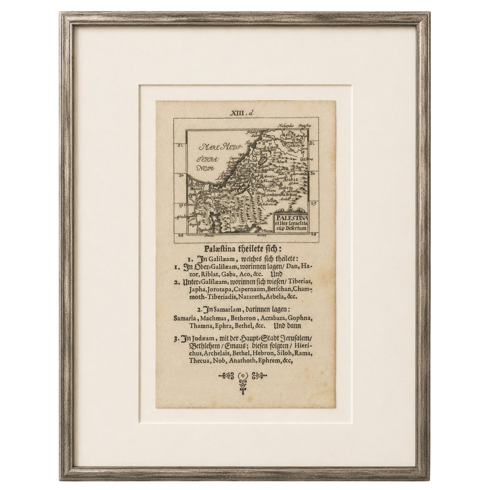
Frame and rooms are illustrations of how the print could look, drawn to its real size; it is sold unframed unless the description says otherwise.
The Holy Land
17th Century Holy Land Map “Palestina” with German Biblical Text, c.1650
Anno Domini MDCL1650
€390€27330% off
$300 · £230
Original print, not a reproduction
Ships worldwide from the Netherlands, flat or rolled, insured and tracked. 14-day returns.
- Date
- 1650
- Sheet size
- 6.6 × 3.9 in (16.7 × 9.8 cm)
- Condition
- Good. Age-related toning, scattered foxing, and minor edge wear consistent with age. Strong dark impression with attractive contrast and clear typography. Overall in good antique condition.
- Faith
- Christianity, Judaism
- Collection
- The Holy Land
- Era
- Before 1700, Woodcuts and the great atlases
- Stock no.
- BG-14296-10
What the condition grades mean
- Excellent
- Bright and clean, with no faults worth mentioning.
- Very good
- Only light signs of age, such as faint toning.
- Good
- Normal signs of age for a sheet of this period: toning, some foxing, small marks or neat old repairs.
- Fair
- Clear faults such as staining, tears or repairs, priced to match.
Every fault we see is written in the condition note, and the whole sheet is shown uncropped in the photos.
Title: 17th Century Holy Land Map “Palestina” with German Biblical Text, c.1650
Description:
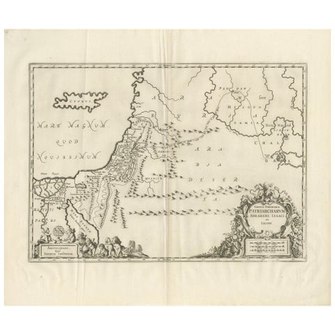
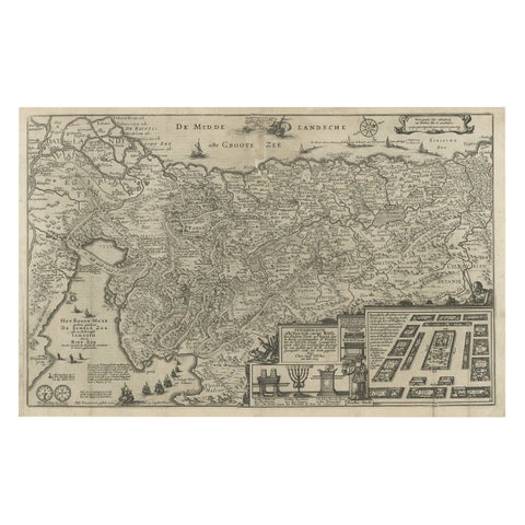
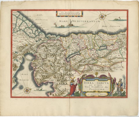
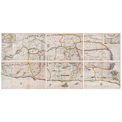
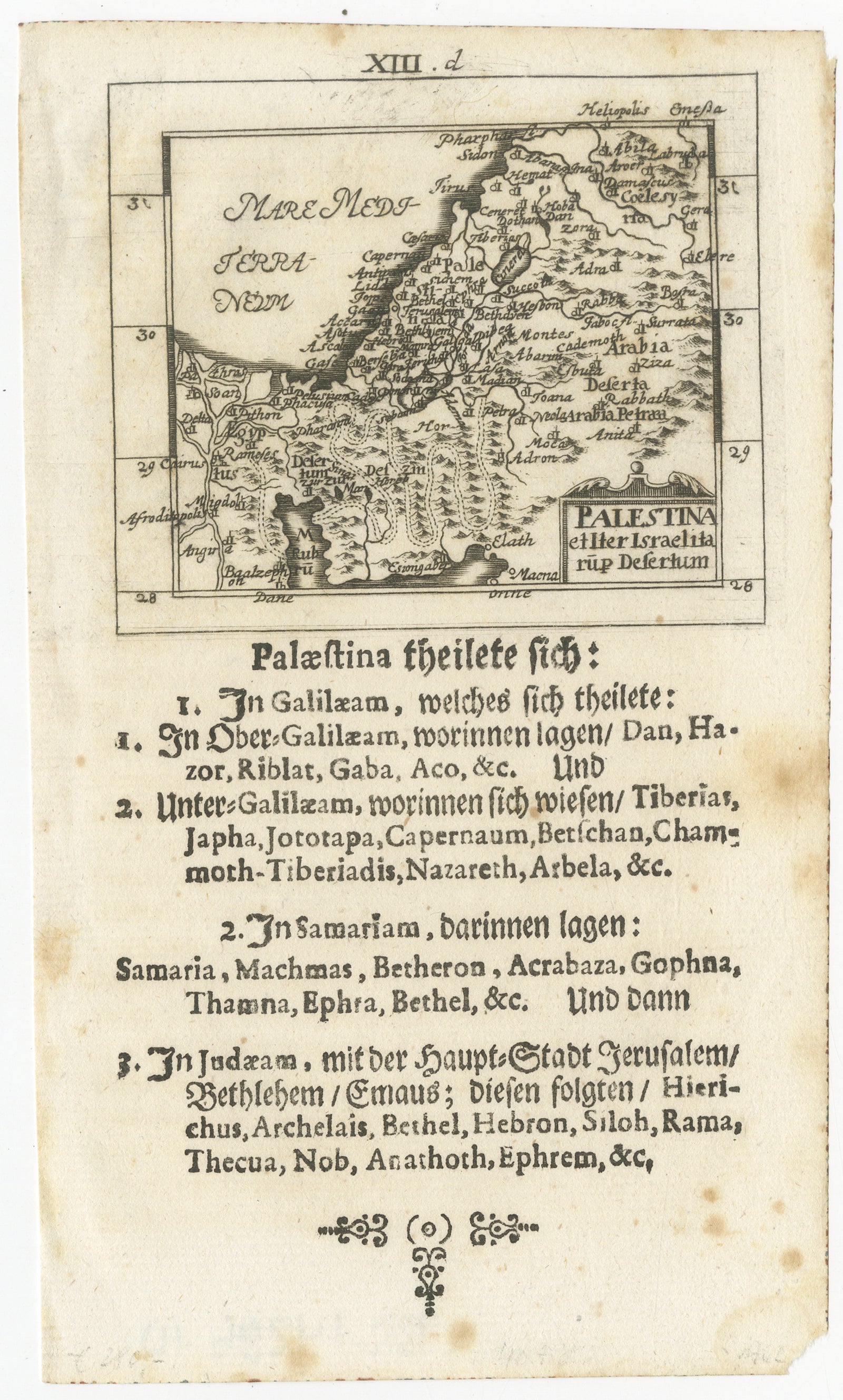
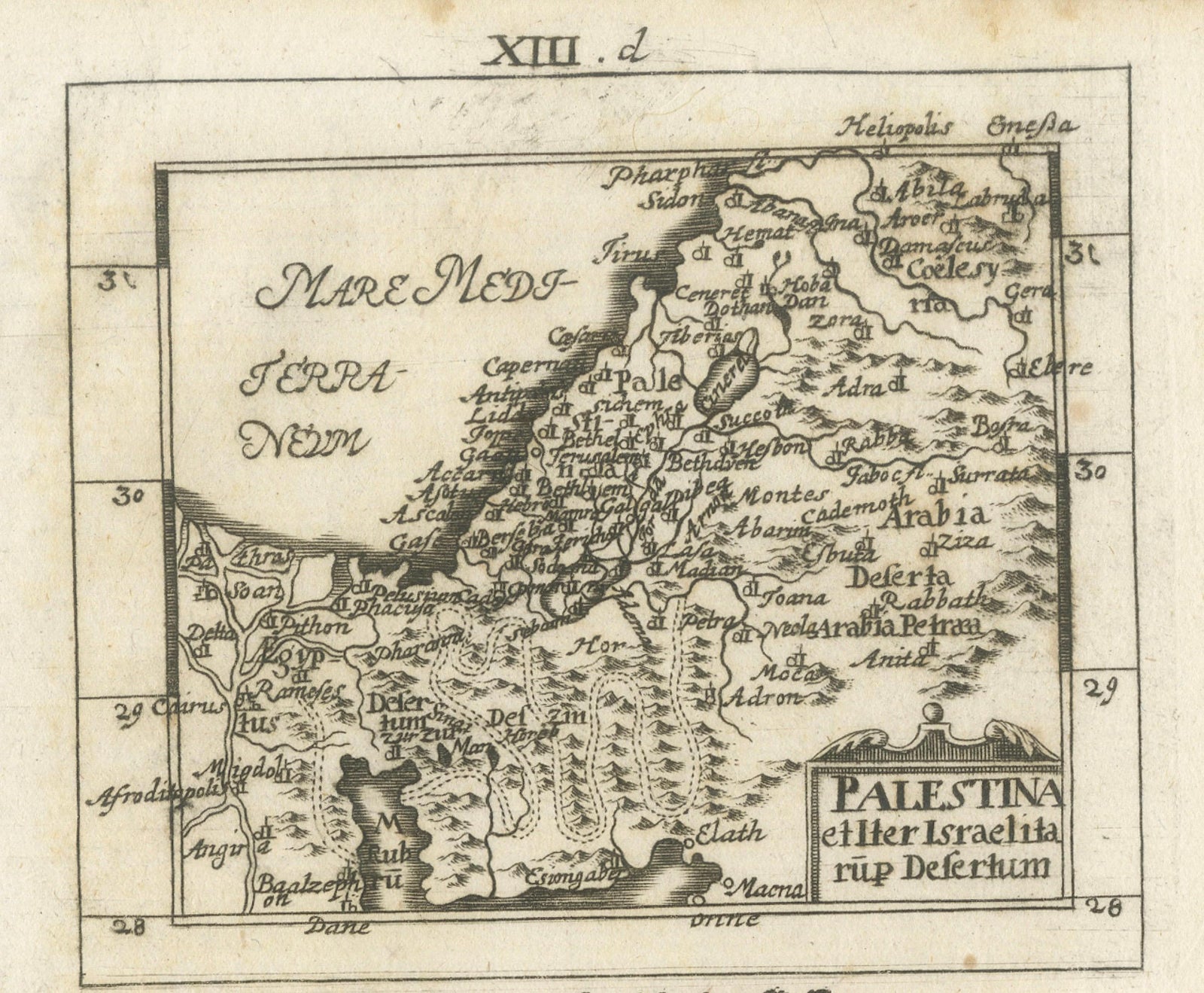
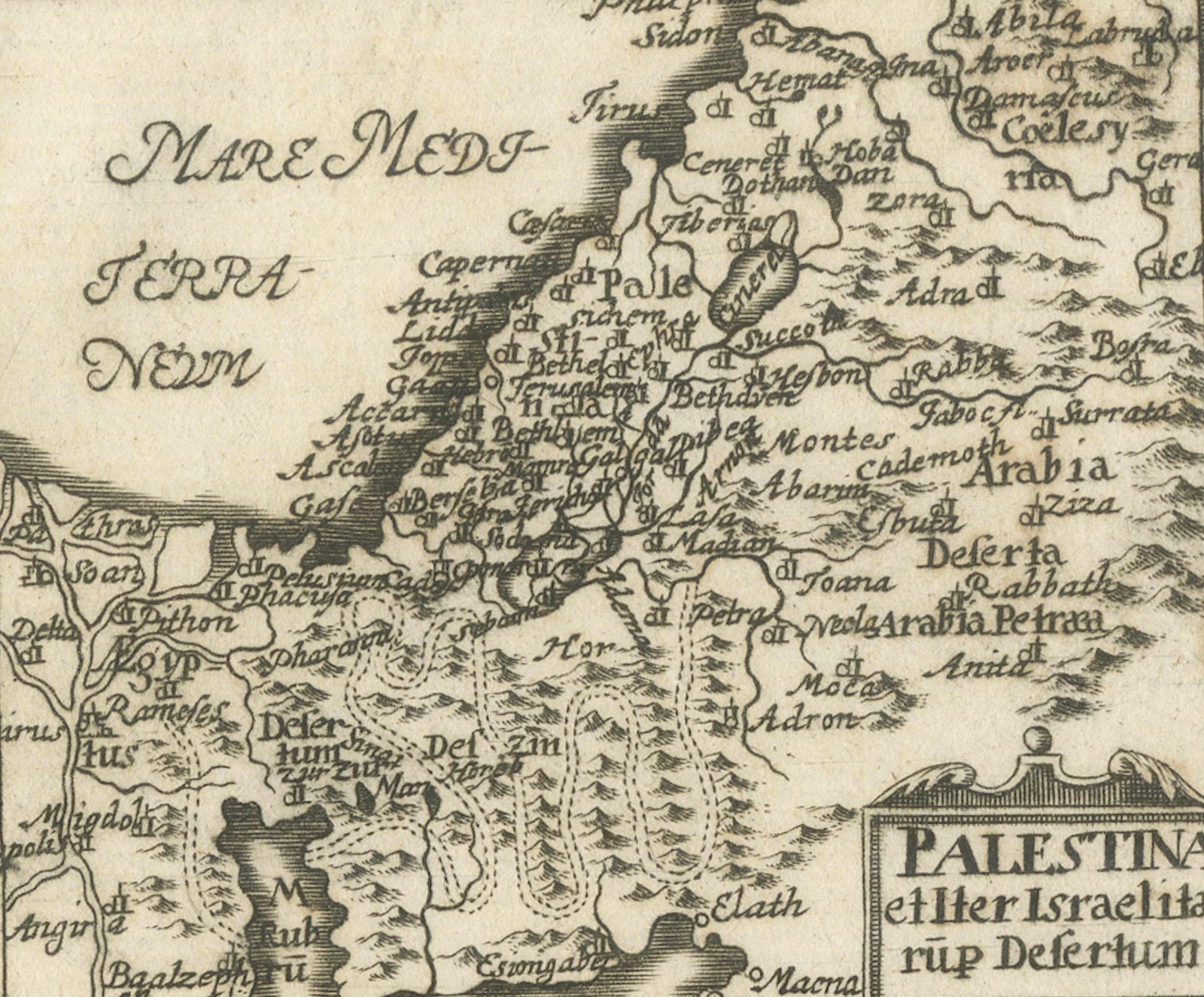
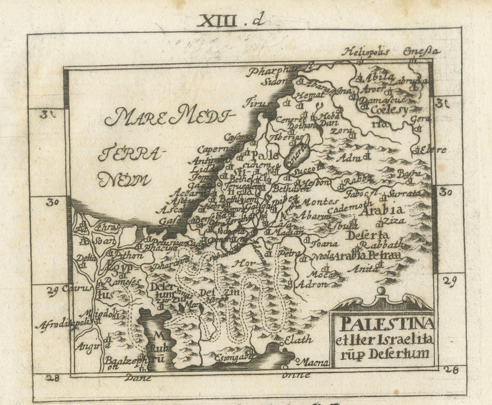
A rare and highly decorative 17th-century miniature woodcut or engraved map of the Holy Land titled Palestina, accompanied by extensive German biblical geographical text below. The map depicts the ancient regions of Palestine, including Galilee, Samaria, Judea, Arabia, the Jordan River, and the Dead Sea, while identifying numerous biblical cities and sacred sites associated with the Old and New Testaments.
This compact yet detailed map reflects the enduring fascination with biblical geography in early modern Europe. The composition presents the Holy Land bordered by the Mediterranean Sea (“Mare Mediterraneum”) to the west and Arabia to the east, with Jerusalem, Bethlehem, Nazareth, Tiberias, Hebron, Jericho, and many other historically and spiritually significant locations carefully identified.
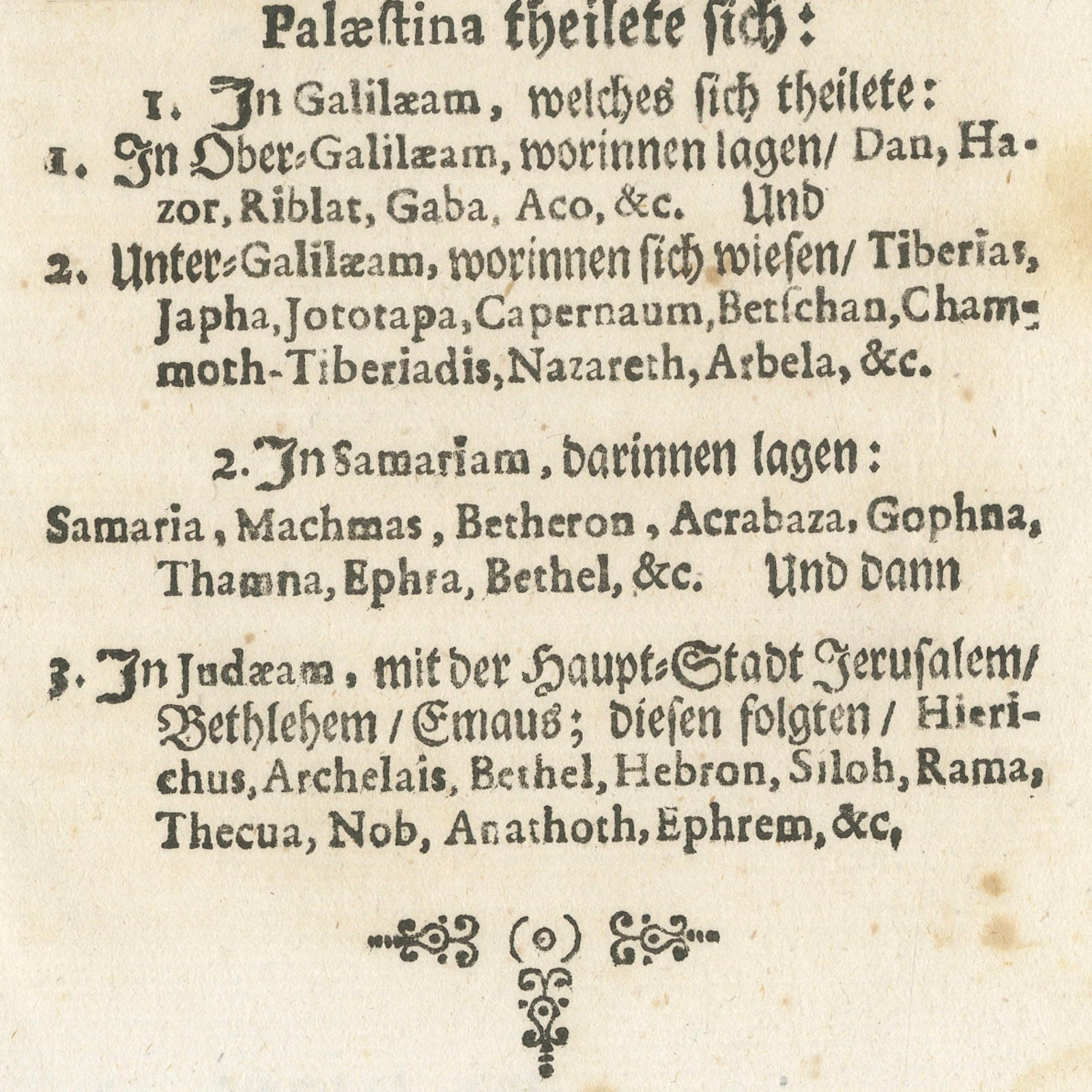
Beneath the map appears a substantial block of German Gothic text dividing the Holy Land into its principal biblical regions, Galilee, Samaria, and Judea, while listing the important cities and sacred places associated with each territory. Such maps served both devotional and educational purposes, helping readers visualize the biblical world described in Scripture.
The map’s decorative title cartouche and dense typography are highly characteristic of 17th-century German religious publishing. During this period, maps of Palestine and Jerusalem were among the most sought-after illustrations in Bibles, theological works, and historical compendia. Their combination of cartographic curiosity, sacred geography, and visual symbolism made them highly valued among scholars, clergy, and collectors.
The primitive yet elegant engraving style gives the sheet strong graphic appeal. The compact format, dark impression, and striking blackletter typography create an object of considerable decorative and historical charm. Works of this type are increasingly appreciated by collectors of biblical cartography, Holy Land imagery, and early German printing.
This map works particularly well in libraries, studies, ecclesiastical interiors, and collections devoted to Jerusalem, biblical history, or antique maps of the Middle East.
This is an original antique print leaf, not a reproduction.
Age-related toning, scattered foxing, and minor edge wear consistent with age. Strong dark impression with attractive contrast and clear typography. Overall in good antique condition.
Framing Tips:
This miniature biblical map displays exceptionally well in museum black, dark walnut, or ebonized frames paired with a wide parchment or ivory-toned mat. Its compact scale and strong graphic appearance make it especially suitable for libraries, studies, ecclesiastical interiors, or grouped salon-style map displays.
Technique: Engraving / woodcut with letterpress typography
Maker: German School, circa 1650
Explore