Framed and on the wall
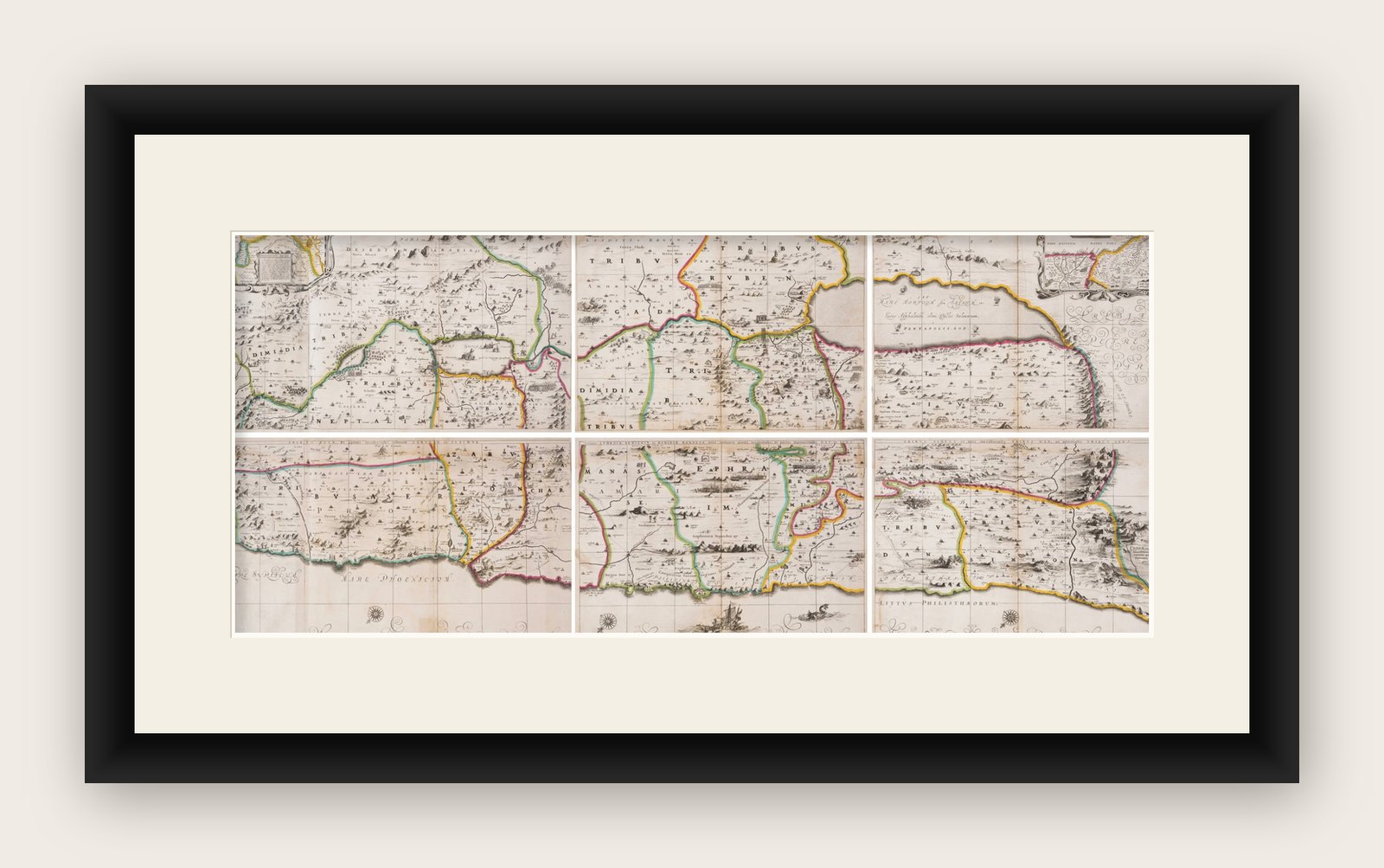
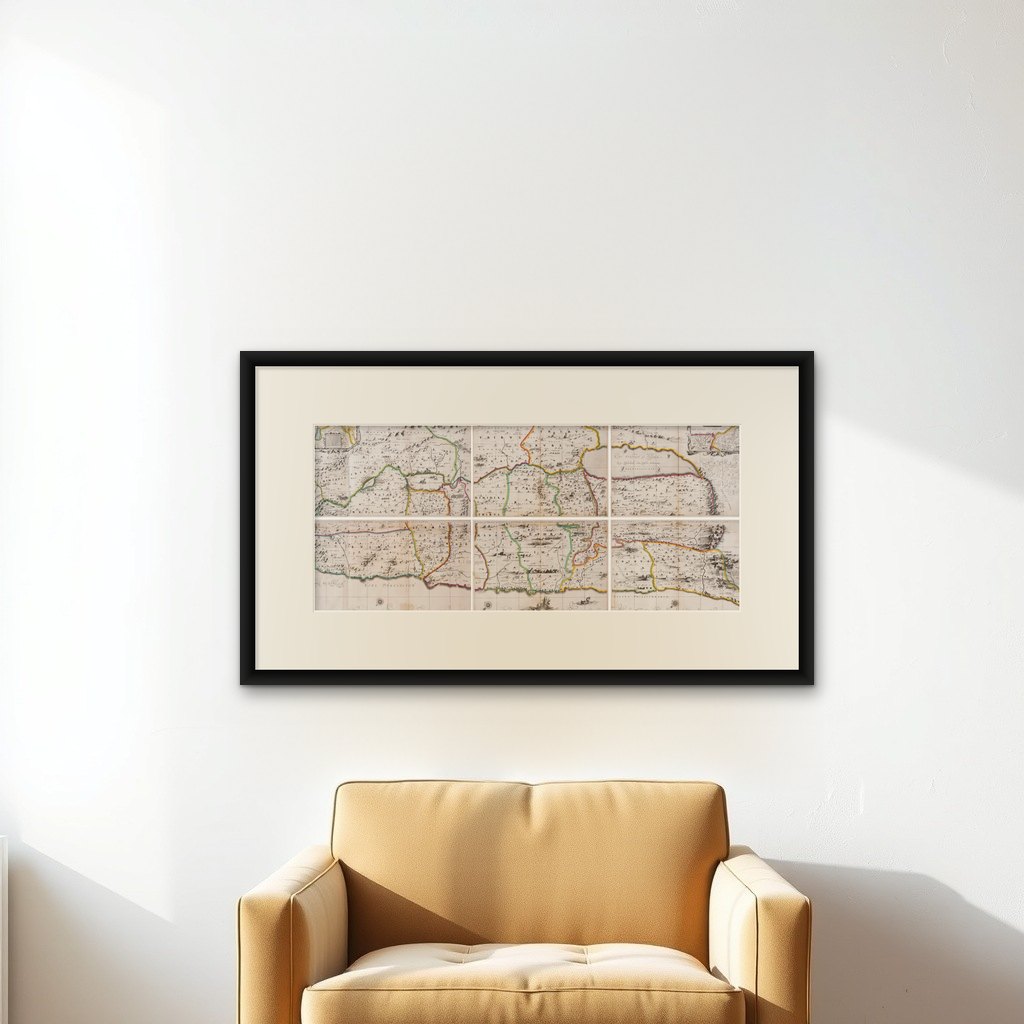

Frame and rooms are illustrations of how the print could look, drawn to its real size; it is sold unframed unless the description says otherwise.
The Holy Land
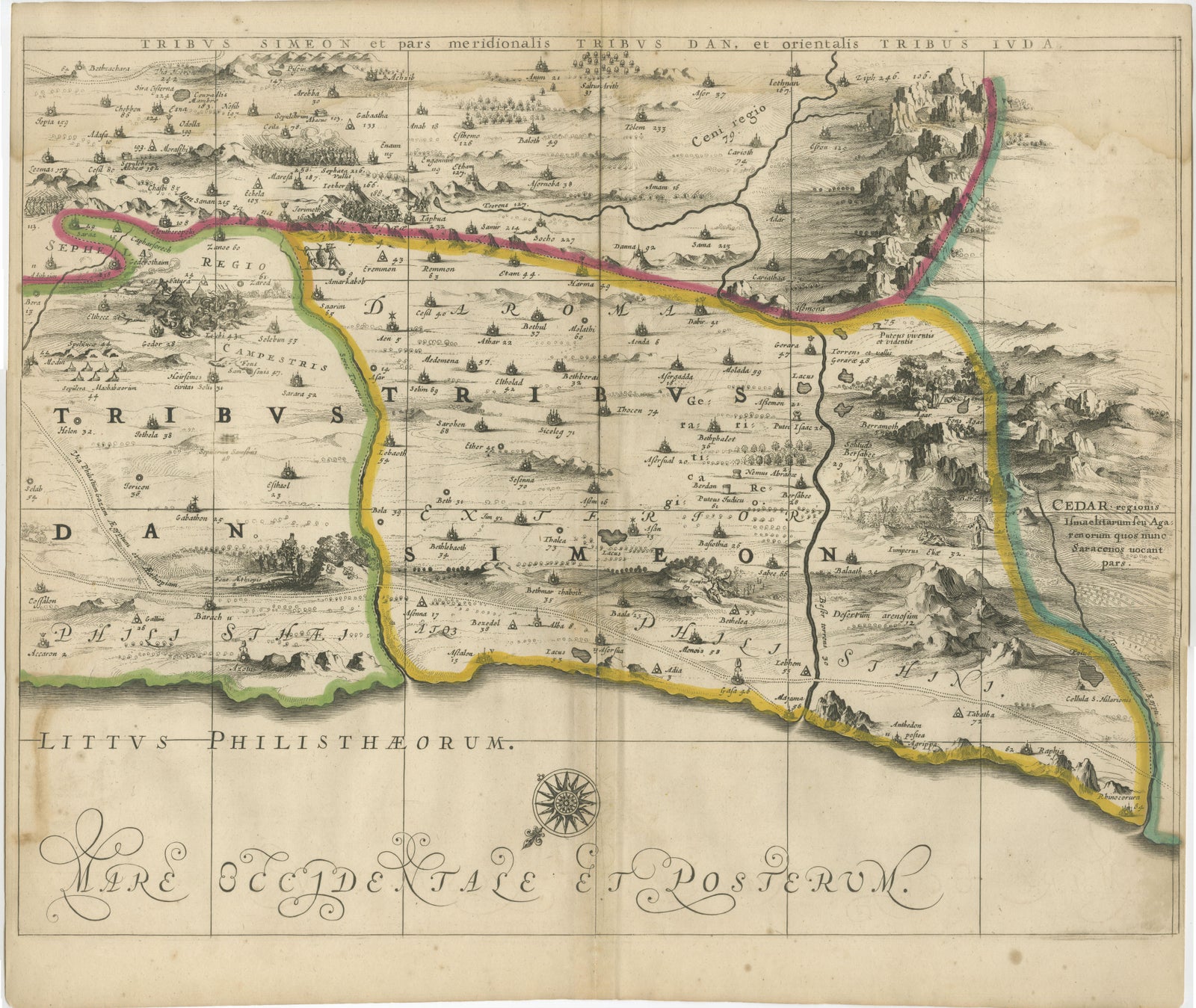
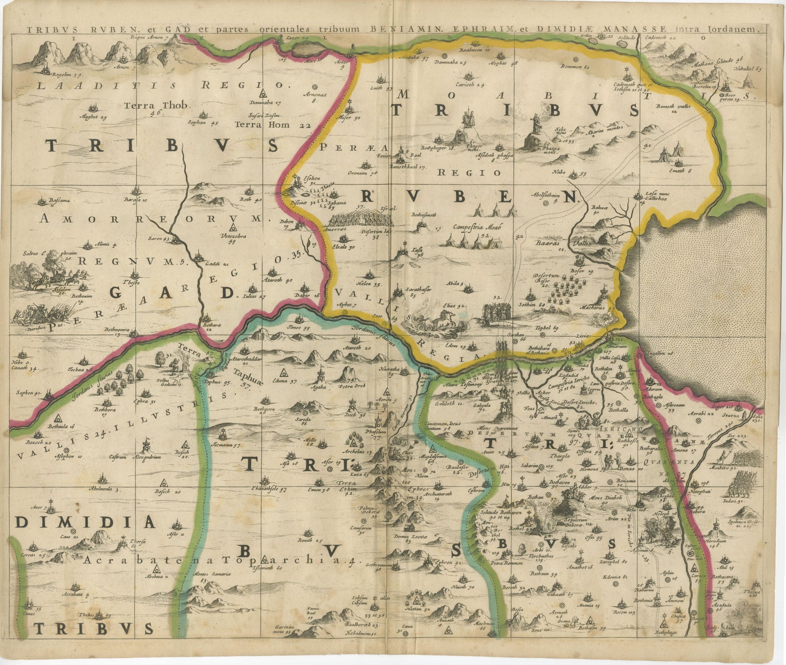
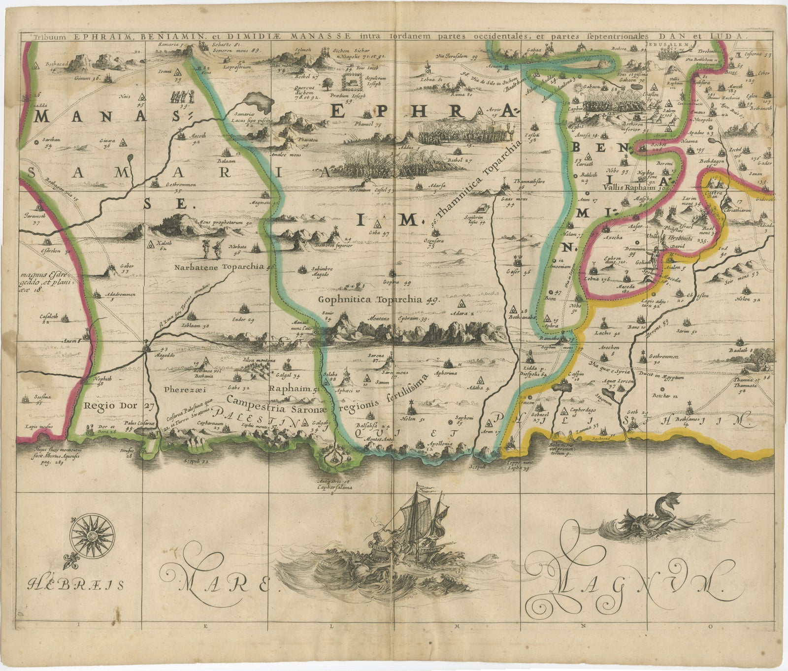
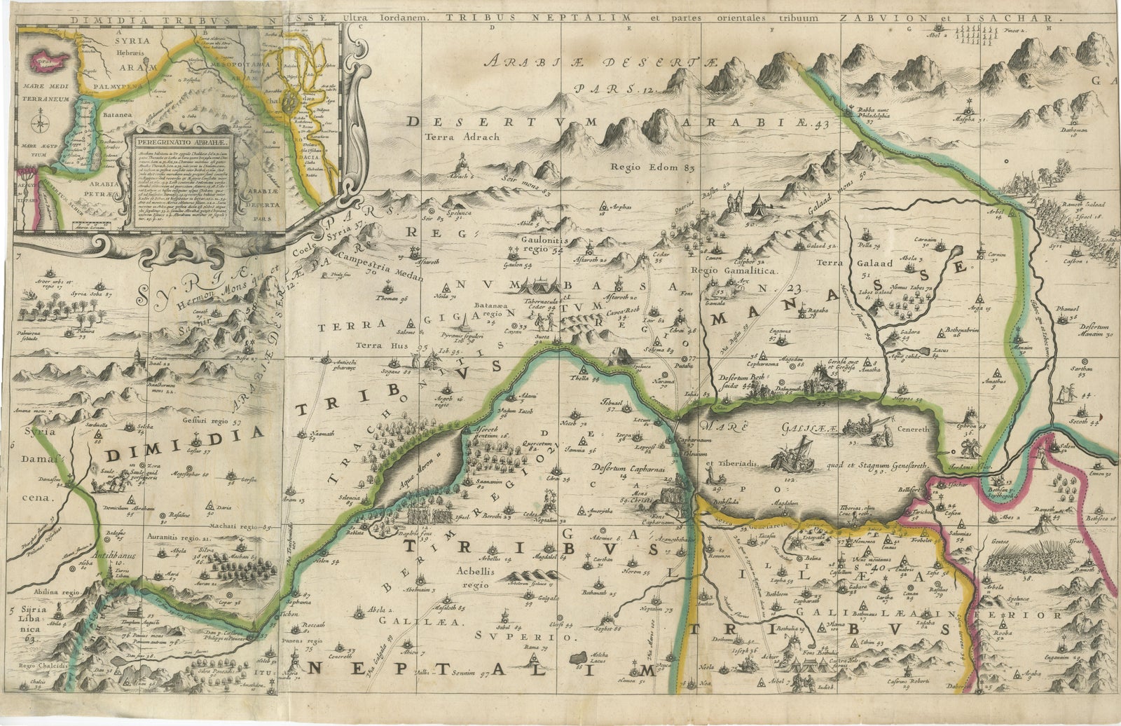
1658 Large Map of the Holy Land by Jansson, Twelve Tribes of Israel in 6 Sheets
Anno Domini MDCLVIII1658
$4,065
€3,700 · £3,100
Original print, not a reproduction
Ships worldwide from the Netherlands, flat or rolled, insured and tracked. 14-day returns.
- Date
- 1658
- Sheet size
- 28.1 × 18.5 in (71.5 × 47 cm)
- Condition
- Good. Good overall, but here are faint damp stains along the top edges of the sheets, minor nicks and small tears to some margins, and light creasing from handling. Some occasional spotting and surface dirt is present, consistent with age. Unframed sheets.
- Faith
- Christianity, Judaism
- Collection
- The Holy Land
- Era
- Before 1700, Woodcuts and the great atlases
- Stock no.
- BG-13932-1, -2, -3, -4, -5, -6
What the condition grades mean
- Excellent
- Bright and clean, with no faults worth mentioning.
- Very good
- Only light signs of age, such as faint toning.
- Good
- Normal signs of age for a sheet of this period: toning, some foxing, small marks or neat old repairs.
- Fair
- Clear faults such as staining, tears or repairs, priced to match.
Every fault we see is written in the condition note, and the whole sheet is shown uncropped in the photos.
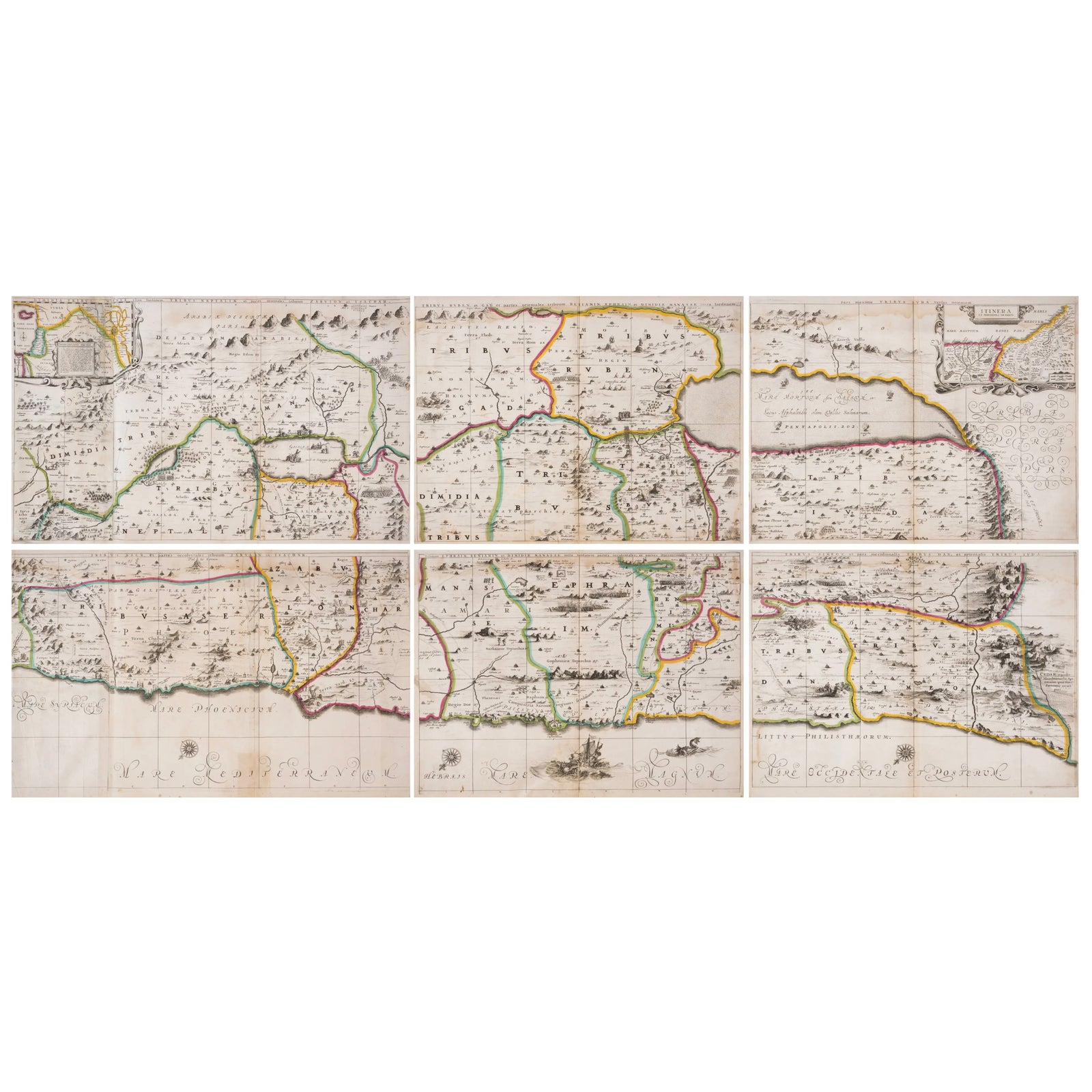
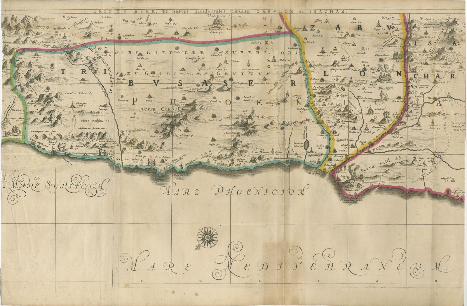
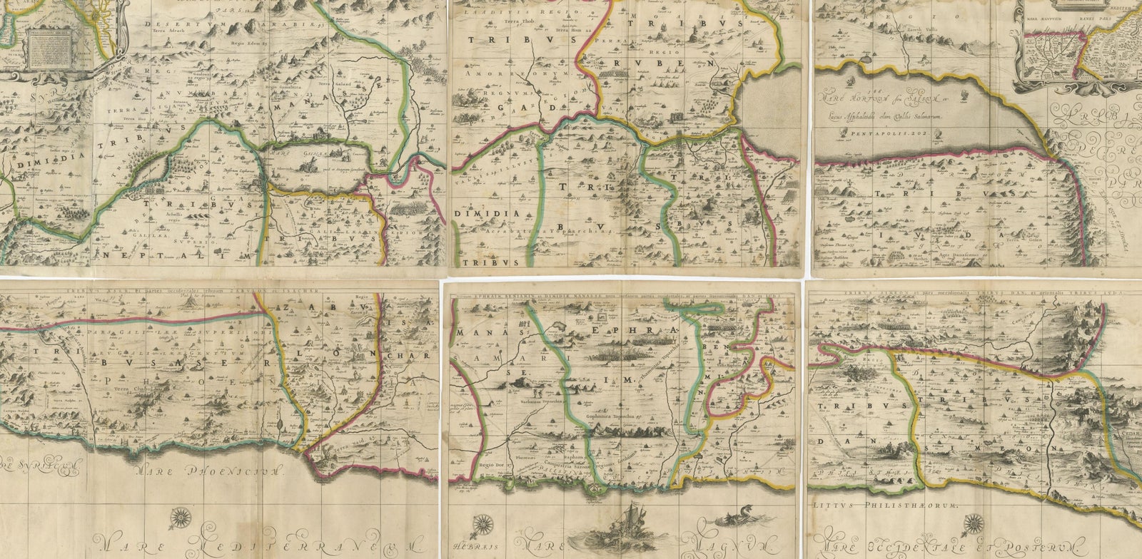
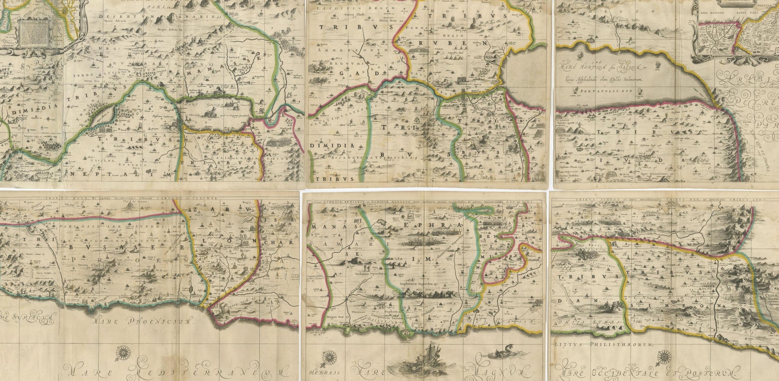
Holy Land Divided Among the Twelve Tribes, Six-Part Map by Jan Jansson and Georgius Hornius, circa 1658
This rare and impressive six-sheet engraved map of the Holy Land was published around 1658 by Jan Jansson and Georgius Hornius. The map is based on the influential work of Christian van Adrichom, whose 1590 design became the standard for visualizing the biblical divisions of the land of Israel among the Twelve Tribes. Oriented to the east, the map spans from the southern end of the Dead Sea and Edom up to the Golan Heights and modern-day Lebanon.
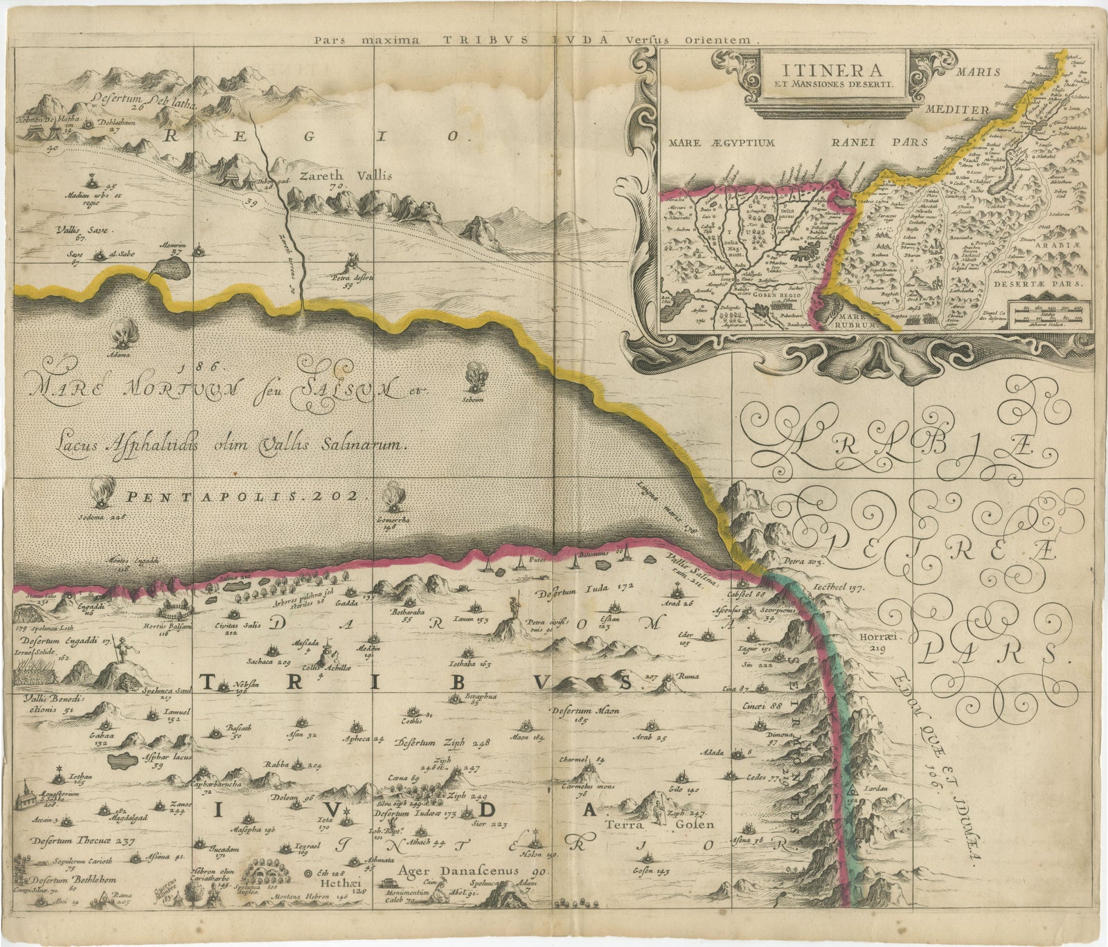
Each of the six sheets is richly detailed with engraved tribal boundaries, topographical features, and biblical references. The territories of the tribes are clearly outlined in contemporary hand color. The upper corners of the map feature inset illustrations showing Abraham’s journey and the wanderings of the Israelites through the desert. Additional scenes appear throughout the map, including the destruction of Sodom, Gomorrah, Admah, and Zeboiim in the Dead Sea, Jonah being swallowed by the whale, and Jesus confronting Satan on the mountain.
The engravings are executed on laid paper without watermarks. The two larger sheets each measure approximately 470 x 715 mm, while the four smaller sheets are about 470 x 550 mm. The joint sheets of this map will measure over 37 x 56,3 inch ( 94x1430 cm ). This map is not only a cartographic representation but also a richly symbolic and narrative depiction of sacred geography, intended to inform and inspire.
Good overall but here are faint damp stains along the top edges of the sheets, minor nicks and small tears to some margins, and light creasing from handling. One sheet (upper left) has been carefully restored along a fold line. Some occasional spotting and surface dirt is present, consistent with age. All sheets are unframed.
Framing suggestion:
This six-part map would make a striking display when framed together in a custom arrangement. Archival materials and museum glass are recommended to preserve the engraved detail and hand coloring. It is an ideal centrepiece for a collection of 17th-century maps, Judaica, or biblical history.