Chapel I of V
The Holy Land
Maps of Canaan, Palestine and the Twelve Tribes, and plans and views of Jerusalem, from Bünting's woodcut of about 1581 to Blaeu, Jansson, Sanson, De Wit, Homann and the Bible atlases of the 18th and 19th centuries. The strongest part of the collection and the one most collectors start with.
25 prints
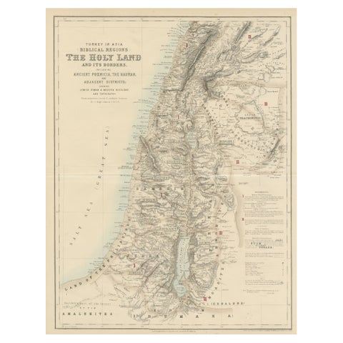
The Holy Land · MDCCCLVI
Turkey in Asia: Biblical Regions and the Holy Land from The Royal Atlas (1856)
1856 · 47.3 × 58.3 cm£555£38530% off
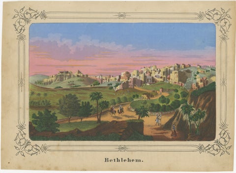
The Holy Land · MDCCCL
Romantic Antique View of Bethlehem Holy Land under a Pink Sunset, ca. 1850
1850 · 30.7 × 22.5 cm£410£28530% off
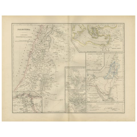
The Holy Land · MDCCCLXXVI
Palestine & Holy Land Map with Jerusalem Insets, Nieuwe Hand-Atlas, 1876
1876 · 55 × 44 cm£345£24030% off
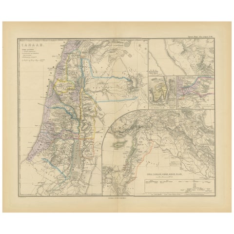
The Holy Land · MDCCCLXXX
Historical Map of Canaan with Insets of Jerusalem and Surrounding Regions, 1880
1880 · 47 × 39.5 cm£310£21530% off
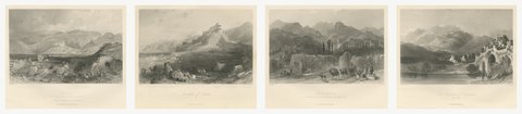
The Holy Land · MDCCCL
Four of the Seven Churches of Asia Minor, Antique Set, circa 1850
circa 1850 · 27 × 21 cm£295£22525% off
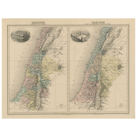
The Holy Land · MDCCCXCII
Palestine: Tribes & Maccabees, Antique Map by Migeon, Paris, 1892
1892 · 52.1 × 39.4 cm£285£20030% off
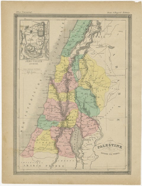
The Holy Land · MDCCCL
Palestine Divided into Tribes Map with Ancient Jerusalem, Paris, c.1850
1850 · 23.2 × 30.5 cm£250£19025% off
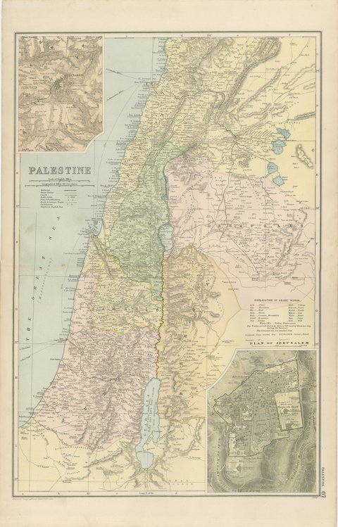
The Holy Land · MDCCCXCVIII
Antique Map of Palestine, with a Plan of Jerusalem, Bacon, 1898
1898 · 34 × 54 cm£245
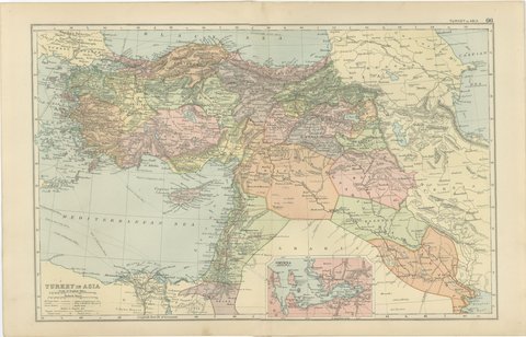
The Holy Land · MDCCCXCVIII
Antique Map of Turkey in Asia, Mesopotamia and the Holy Land, 1898
1898 · 54 × 34 cm£245
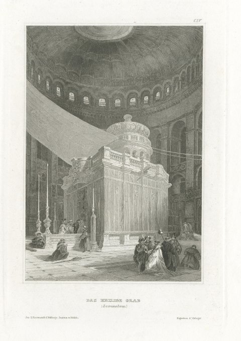
The Holy Land · MDCCCL
The Holy Sepulchre, Jerusalem, Antique Interior View of the Rotunda, circa 1850
circa 1850 · 18 × 24 cm£235£16530% off
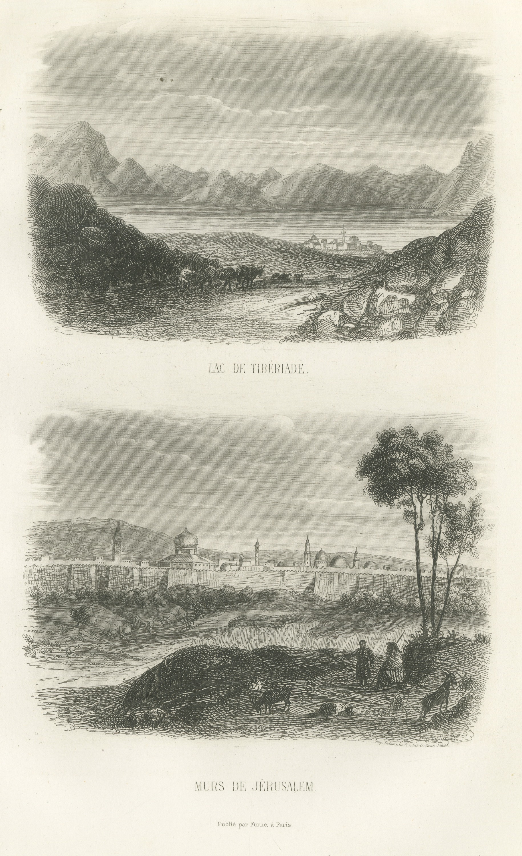
The Holy Land · MDCCCLIX
Sea of Galilee at Tiberias and Walls of Jerusalem, Antique Print, 1859
1859 · 16.5 × 26.5 cm£225£16030% off
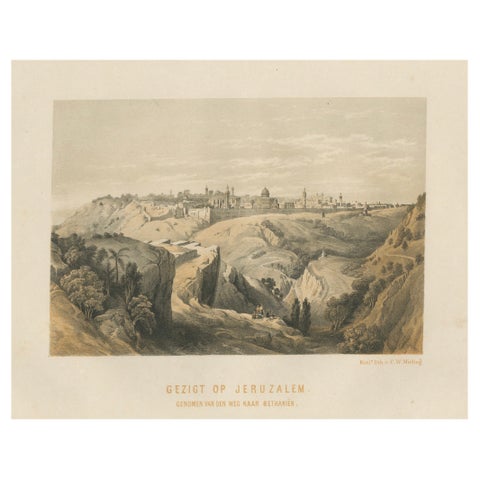
The Holy Land · MDCCCLXII
19th-Century Chromolithograph of Jerusalem, View from the Road to Bethany, 1862
1862 · 30.6 × 23 cm£225£16030% off
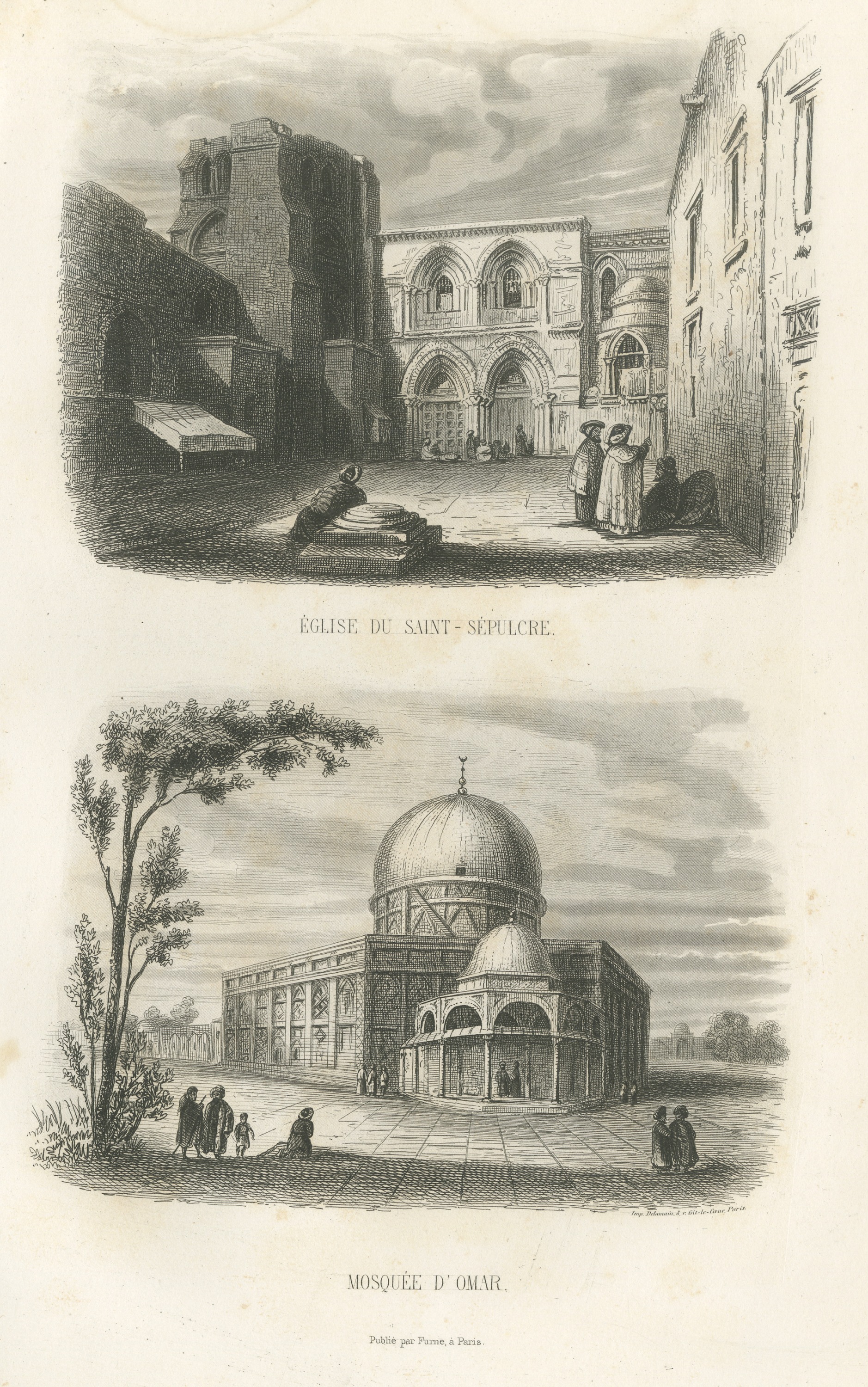
The Holy Land · MDCCCLIX
Holy Sepulchre Church and Dome of the Rock, Jerusalem, Antique Print, 1859
1859 · 16.5 × 26.5 cm£220£15030% off
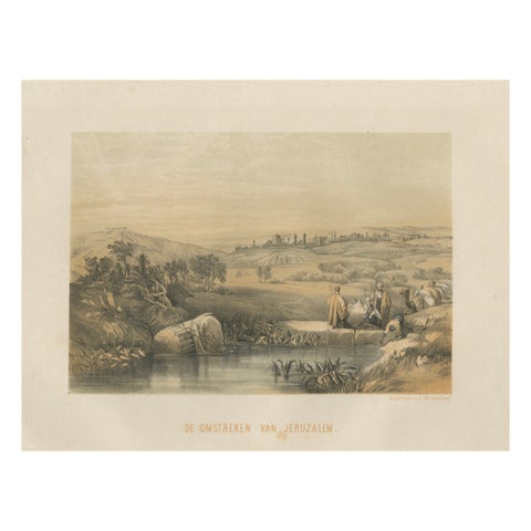
The Holy Land · MDCCCLXII
Chromolithograph of the Surroundings of Jerusalem, Biblical Landscape, ca.1862
1862 · 30.6 × 23 cm£210£14530% off
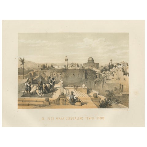
The Holy Land · MDCCCLXII
Chromolithograph of the Temple Mount in Jerusalem, Historical View of 1862
1862 · 30.6 × 23 cm£210£14530% off
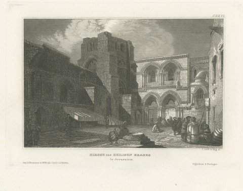
The Holy Land · MDCCCL
Church of the Holy Sepulchre, Jerusalem, Antique View of the Facade, circa 1850
circa 1850 · 27.5 × 19 cm£205£15525% off
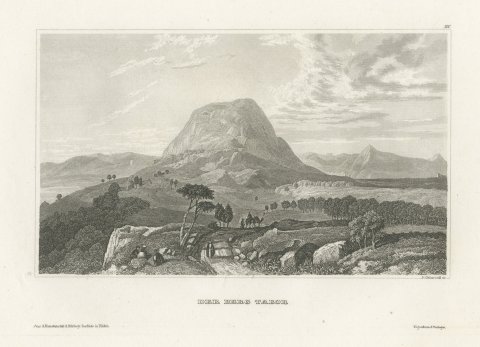
The Holy Land · MDCCCL
Mount Tabor, Galilee, Antique Steel Engraved View of the Holy Land, circa 1850
circa 1850 · 25 × 18 cm£195£15025% off
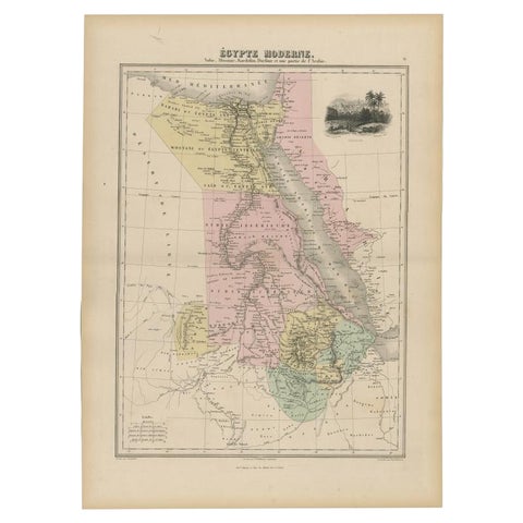
The Holy Land · MDCCCLXXX
Antique Map of The Nile, Egypt, Nubia and Abyssinia and Inset of Jerusalem, 1880
1880 · 34.5 × 47.5 cm£195£13530% off
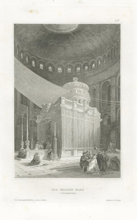
The Holy Land · MDCCCL
Antique Interior View of the Holy Sepulchre, Jerusalem, Engraving, circa 1850
circa 1850 · 19 × 27.5 cm£175£12530% off
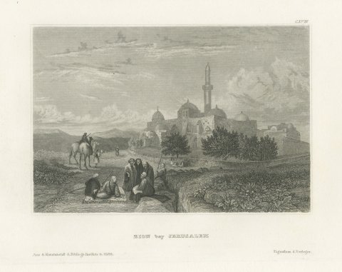
The Holy Land · MDCCCL
Mount Zion near Jerusalem, Antique View with Domes and Minaret, circa 1850
circa 1850 · 27 × 19 cm£165£12525% off
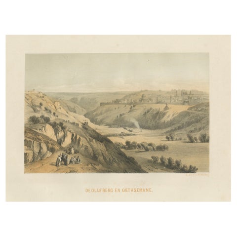
The Holy Land · MDCCCLXII
Rare Chromolithograph of the Mount of Olives and Gethsemane near Jerusalem, 1862
1862 · 30.6 × 23 cm£160£11030% off
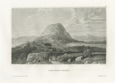
The Holy Land · MDCCCL
Antique Holy Land View of Mount Tabor in Galilee, Engraving, circa 1850
circa 1850 · 27 × 19 cm£155£11525% off
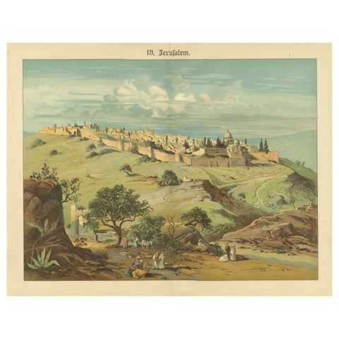
The Holy Land · MDCCCXC
Antique Chromolithograph of Jerusalem from the Mount of Olives, circa 1890
1890 · 40.2 × 31.2 cm£140£10030% off
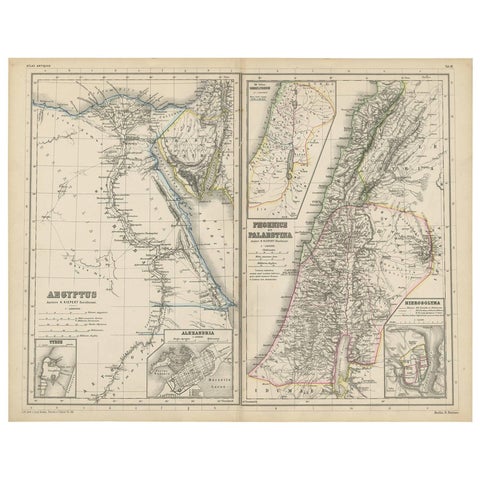
The Holy Land · MDCCCLXX
Antique Map of Egypt and Palestina by H. Kiepert, circa 1870
1870 · 46.5 × 36.5 cm£120£9025% off
The Holy Land · MDCCCLXXXIII
Antique Print of the City of Jerusalem by Grégoire '1883'
1883 · 27.5 × 19 cm£85