Close-ups
Framed and on the wall
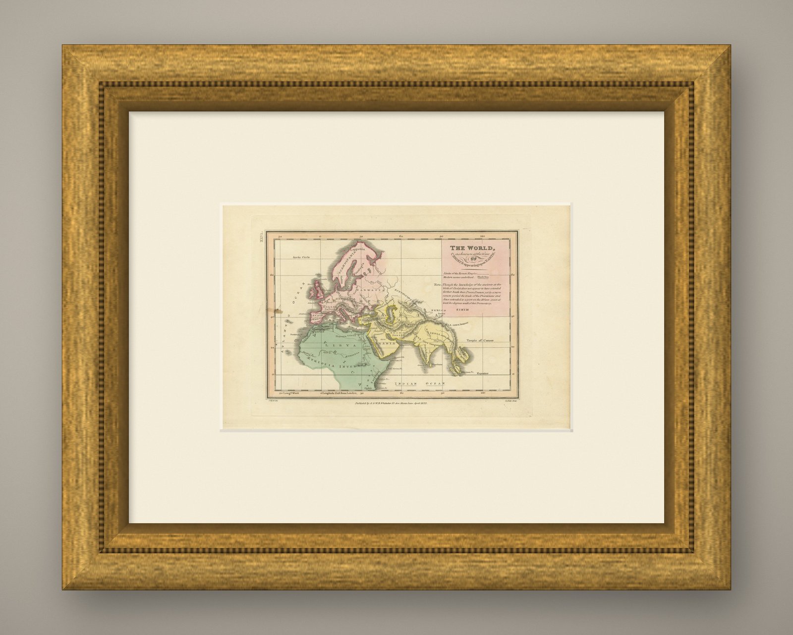


Frame and rooms are illustrations of how the print could look, drawn to its real size; it is sold unframed unless the description says otherwise.
The Holy Land
The World at the Time of Christ, Antique Hand-Colored Map, 1823
Anno Domini MDCCCXXIII1823
£245
$325 · €290
Original print, not a reproduction
Ships worldwide from the Netherlands, flat or rolled, insured and tracked. 14-day returns.
- Date
- 1823
- Technique
- Copper engraving
- Coloring
- Original hand color
- Condition
- Good. Light uneven toning, browner toward the edges. Marked handling soiling along the left, right and top edges. Foxing over much of the margin. A brown stain at the left edge of the printed area. All four corners are present.
- Faith
- Christianity, Judaism
- Collection
- The Holy Land
- Era
- 1800 to 1849, Travellers and the costume books
- Stock no.
- BG-14409-26
What the condition grades mean
- Excellent
- Bright and clean, with no faults worth mentioning.
- Very good
- Only light signs of age, such as faint toning.
- Good
- Normal signs of age for a sheet of this period: toning, some foxing, small marks or neat old repairs.
- Fair
- Clear faults such as staining, tears or repairs, priced to match.
Every fault we see is written in the condition note, and the whole sheet is shown uncropped in the photos.
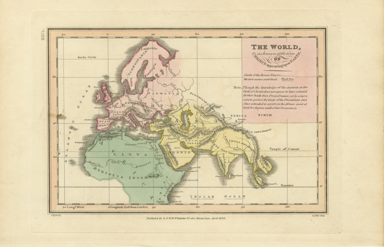
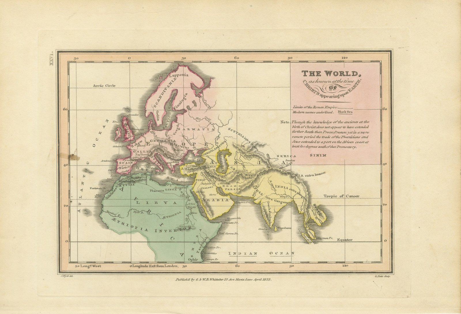
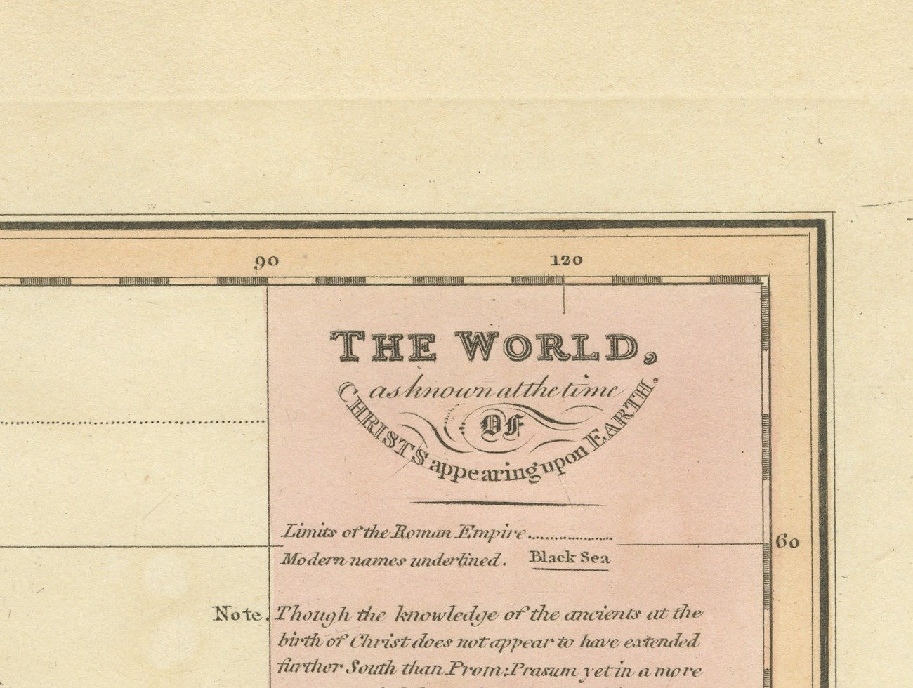
This is an original antique copper engraved map with original hand coloring, published in 1823 as plate XXVI of James Wyld's Geographia Sacra, or Scripture Atlas. The engraved title reads "THE WORLD, as known at the time OF CHRISTS appearing upon EARTH." The title is engraved in a pink panel at the upper right of the map.
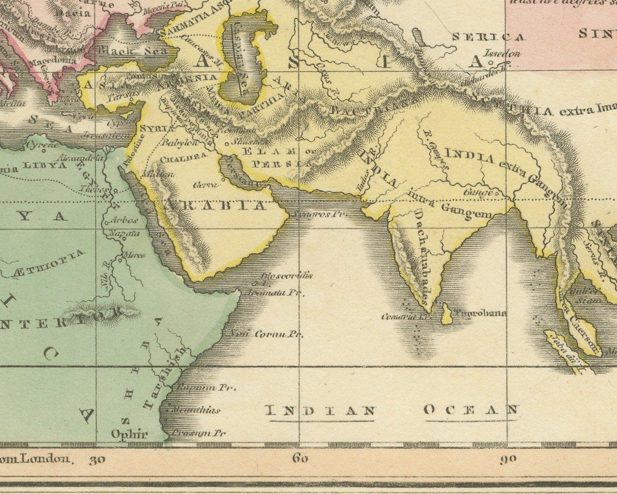
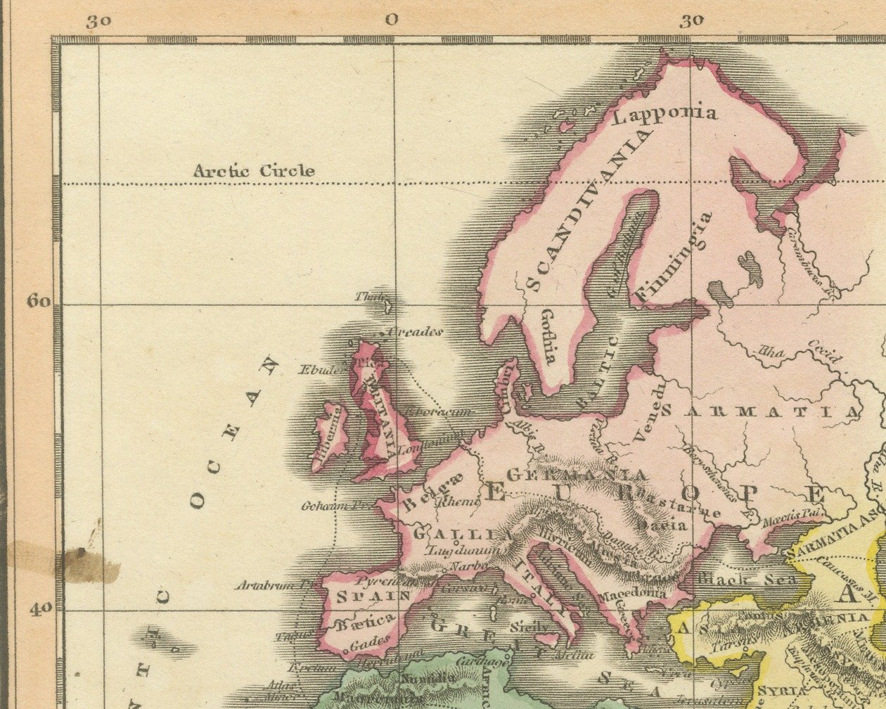
The map shows the Old World from the Atlantic Ocean to India and Serica, with Europe washed in pink, Asia in yellow and Africa in green. Scandinavia, Germania, Sarmatia and Scythia are lettered across the north, Arabia, Persia and India in the south of Asia, and Libya and "ÆTHIOPIA INTERIOR" across Africa, with Ophir marked on the east African coast near the bottom. The Arctic Circle, the Tropic of Cancer and the Equator are drawn across the sheet, and the lower border is marked in longitude east from London. Below the title a key explains the line for the limits of the Roman Empire and that modern names are underlined, as Black Sea, and an engraved note discusses how far south the knowledge of the ancients extended on the African coast.
Below the lower border the credit J. Wyld del. is engraved at the left and G. Neele Sculp. at the right, with the imprint between them: "Publish'd by G. & W. B. Whittaker 13 Ave Maria Lane April 1823." The plate number is engraved as XXVI. in the left margin, turned with the sheet.
The atlas was published by G. and W. B. Whittaker in London, and its engraved title page names Wyld as "of the Quarter Master General's Office, Horse Guards". James Wyld the elder (1790 to 1836) was a London geographer and map publisher.
Light uneven toning, browner toward the edges. Marked handling soiling along the left, right and top edges. Foxing over much of the margin. A brown stain at the left edge of the printed area. All four corners are present.
This is an original antique map, not a modern reproduction. This item is sold unframed. Any framed or interior images are shown for presentation and inspiration only, unless the listing explicitly states that the item is sold framed.
Explore