Framed and on the wall
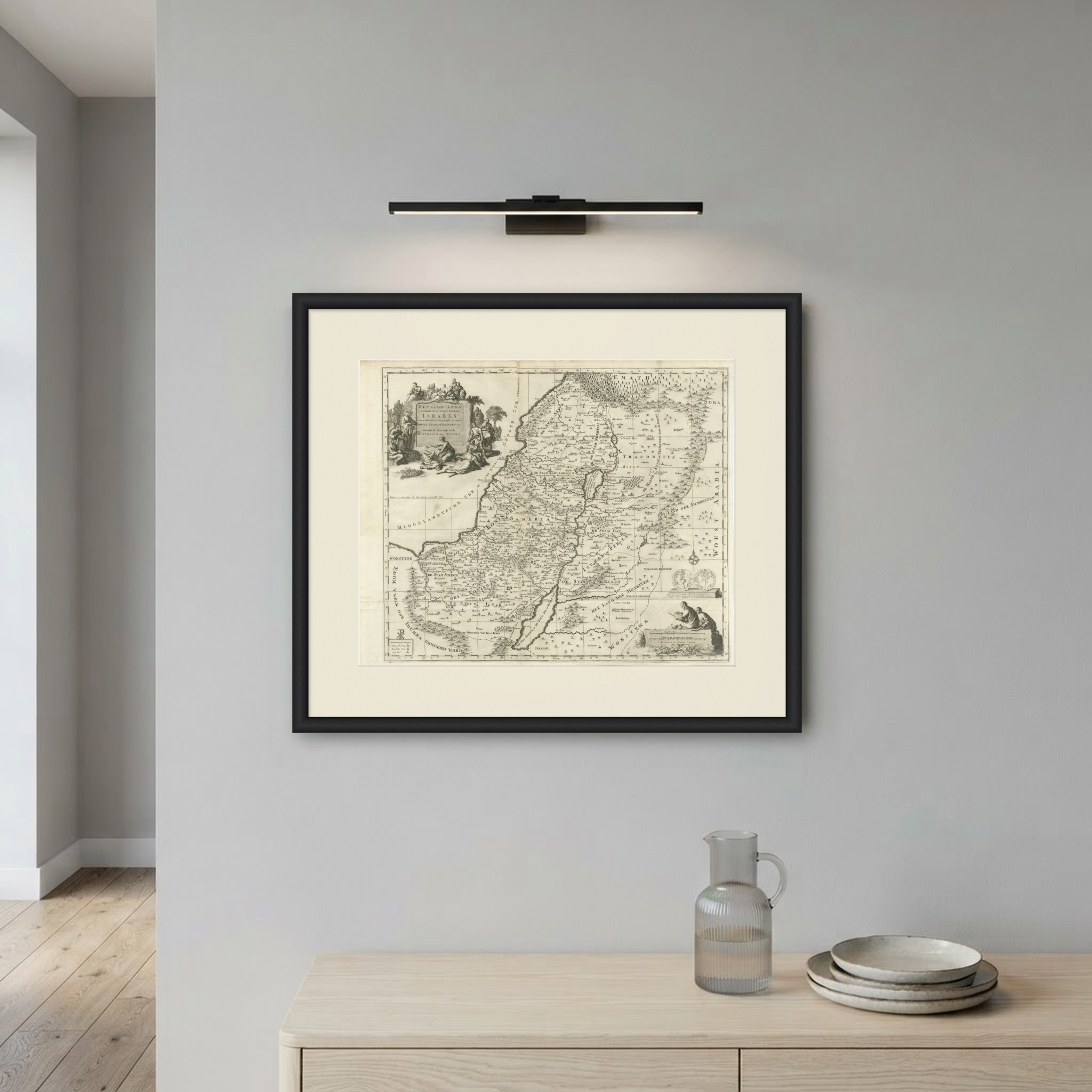
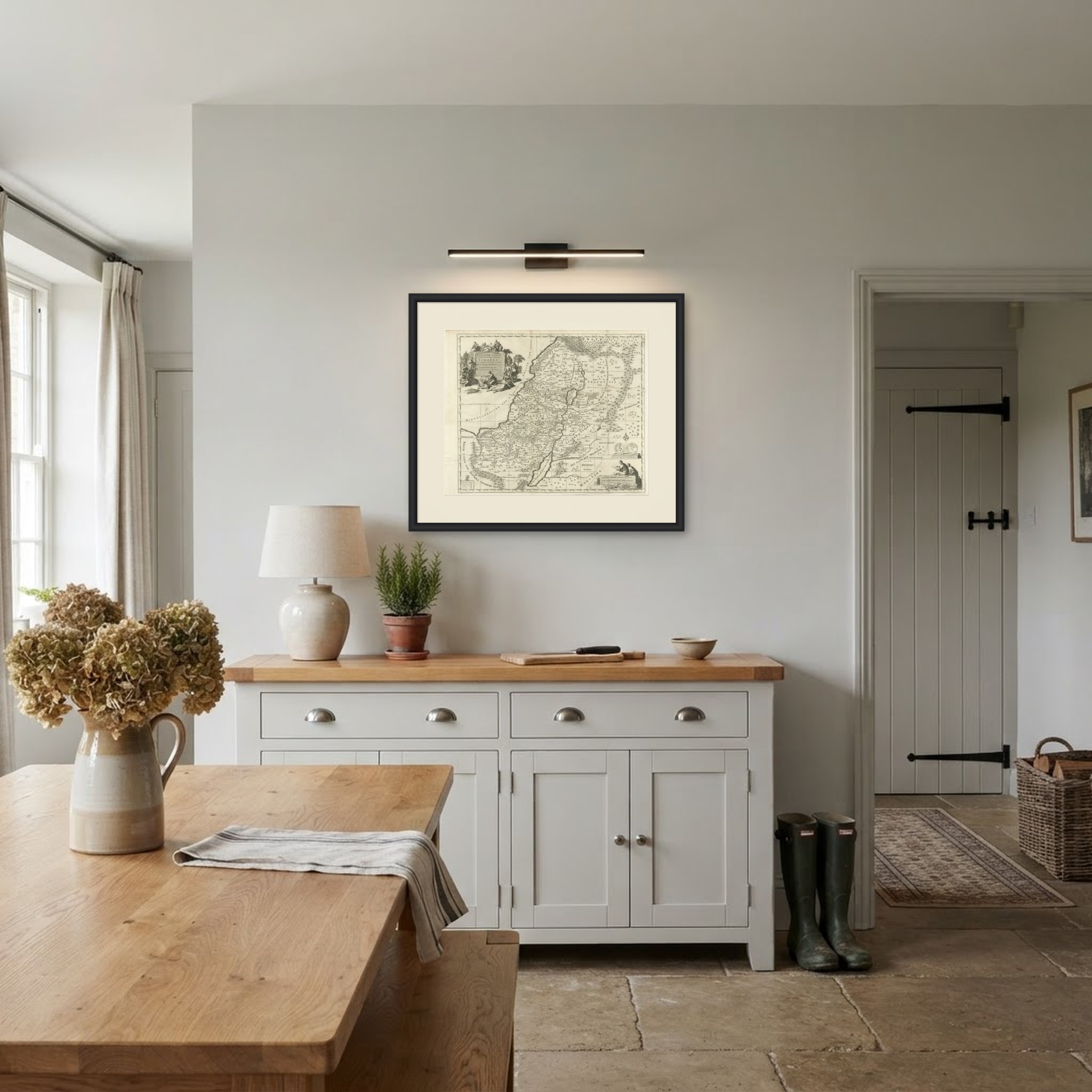
Frame and rooms are illustrations of how the print could look, drawn to its real size; it is sold unframed unless the description says otherwise.
The Holy Land
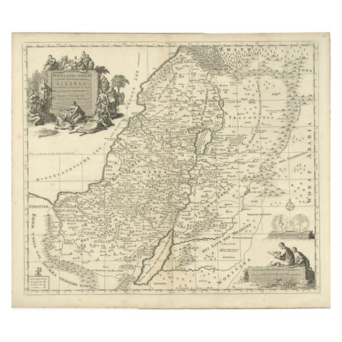
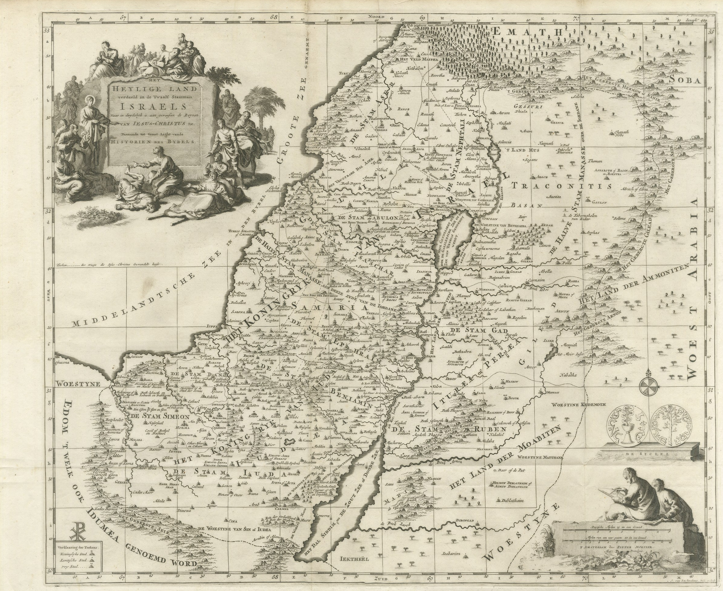
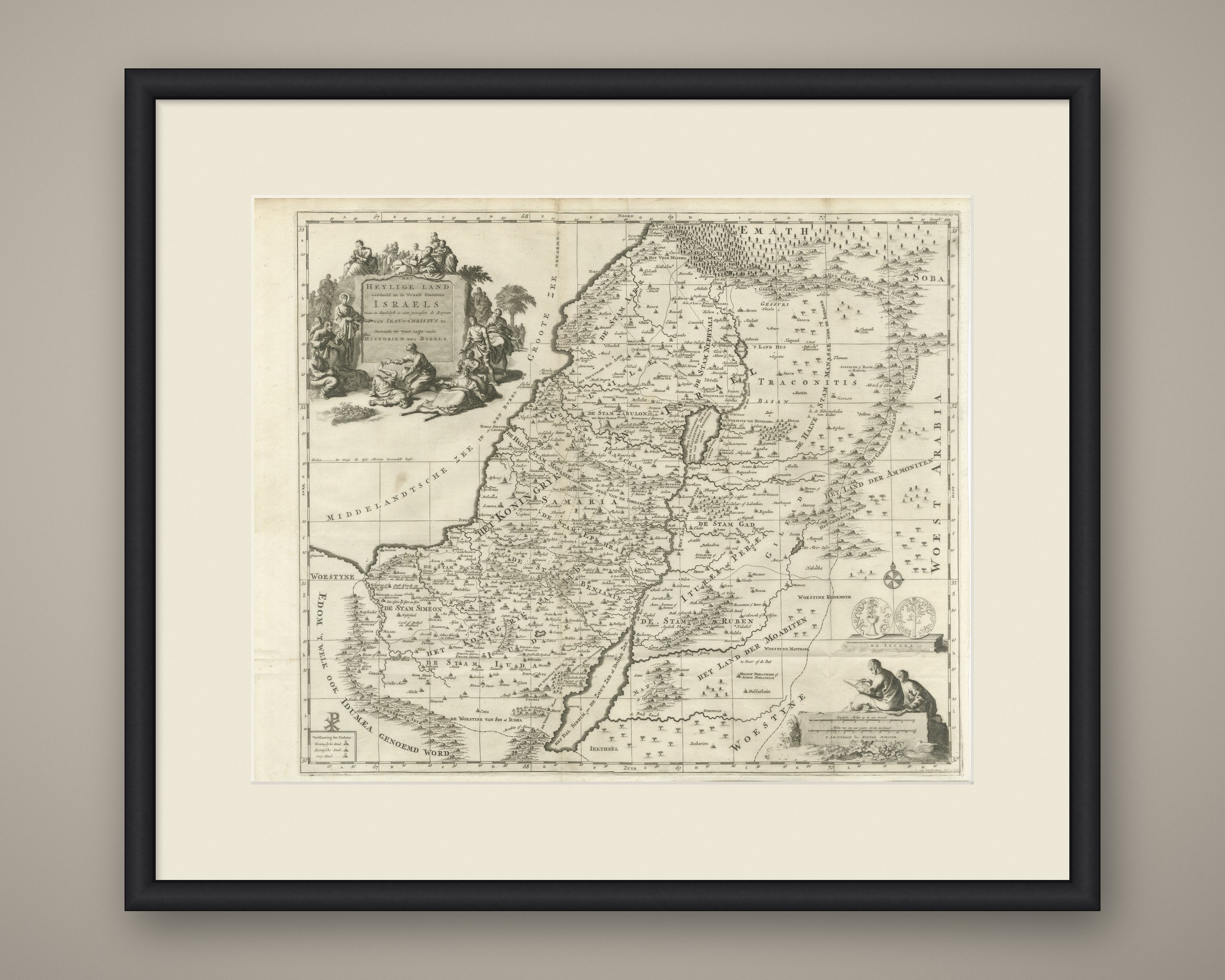
The Holy Land Divided into the Twelve Tribes of Israel, Mortier, 1700
Anno Domini MDCCcirca 1700
€570
$630 · £475
Original print, not a reproduction
Ships worldwide from the Netherlands, flat or rolled, insured and tracked. 14-day returns.
- Date
- circa 1700
- Sheet size
- 16.5 × 20.1 in (42 × 51 cm)
- Technique
- Copper Engraving
- Coloring
- Uncolored
- Condition
- Good. Light uneven toning, browner towards the edges. Marked handling soiling along the top edge. Scattered foxing in the margin. All four corners complete.
- Faith
- Christianity, Judaism
- Collection
- The Holy Land
- Era
- 1700 to 1799, Mortier, Picart and the illustrated Bible
- Stock no.
- BG-14464
What the condition grades mean
- Excellent
- Bright and clean, with no faults worth mentioning.
- Very good
- Only light signs of age, such as faint toning.
- Good
- Normal signs of age for a sheet of this period: toning, some foxing, small marks or neat old repairs.
- Fair
- Clear faults such as staining, tears or repairs, priced to match.
Every fault we see is written in the condition note, and the whole sheet is shown uncropped in the photos.
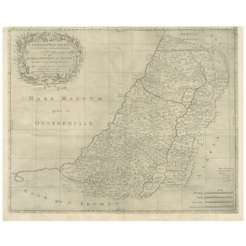
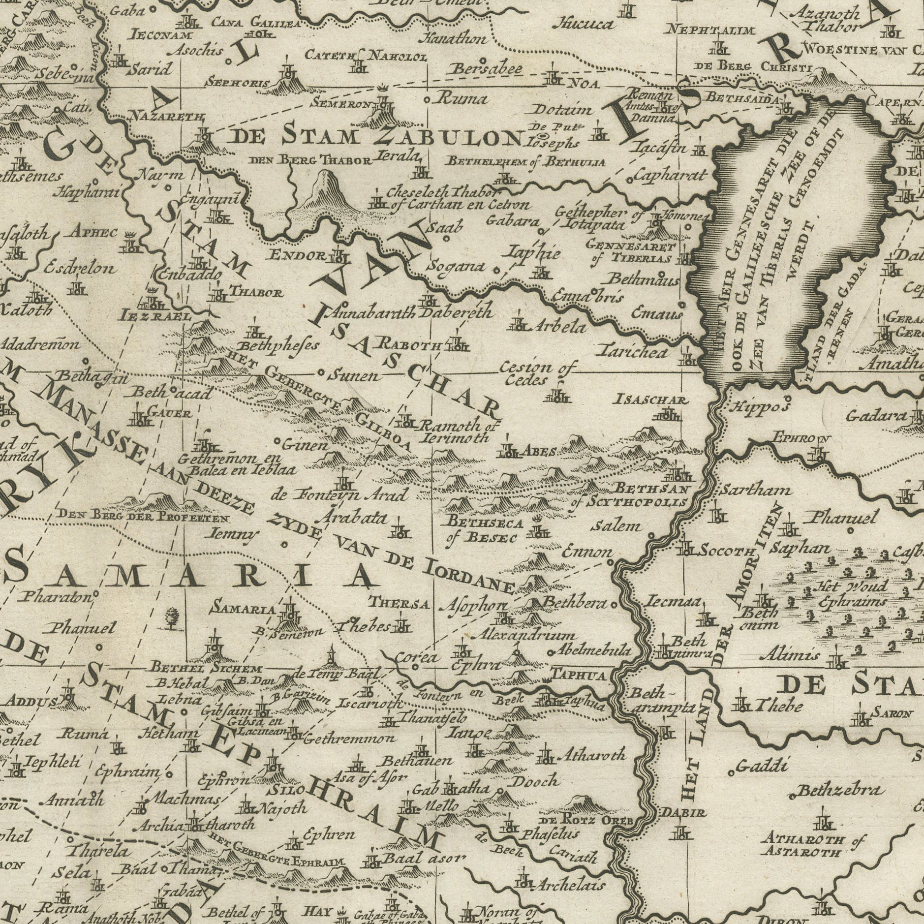
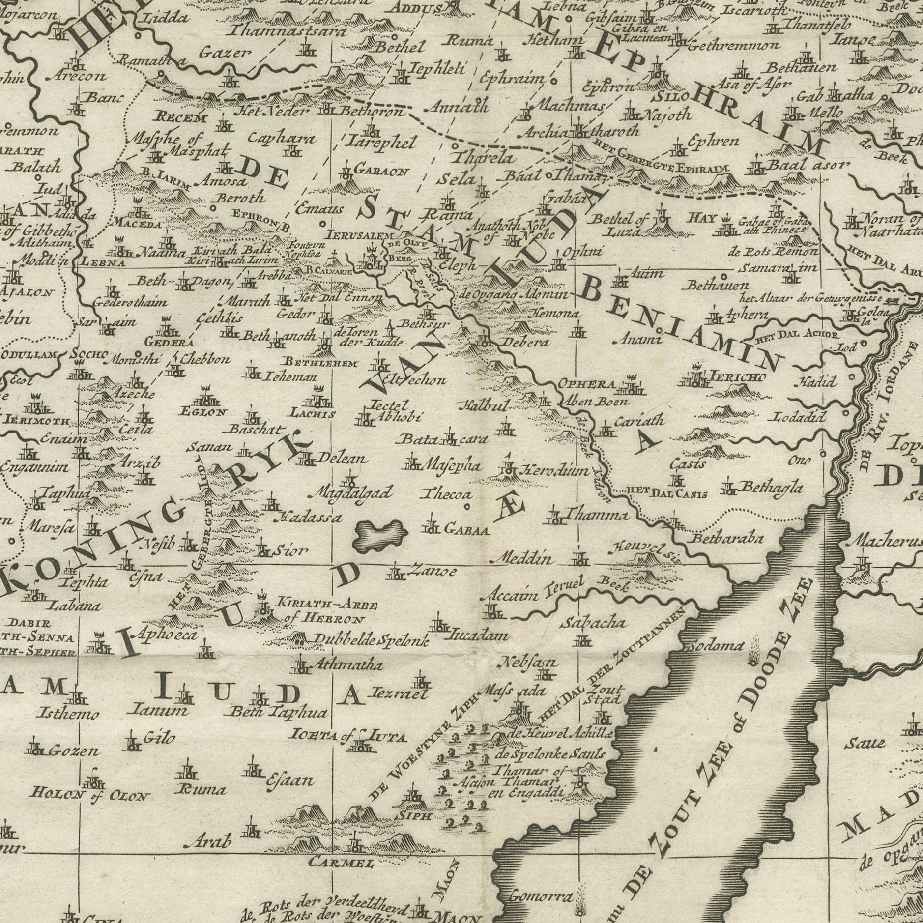
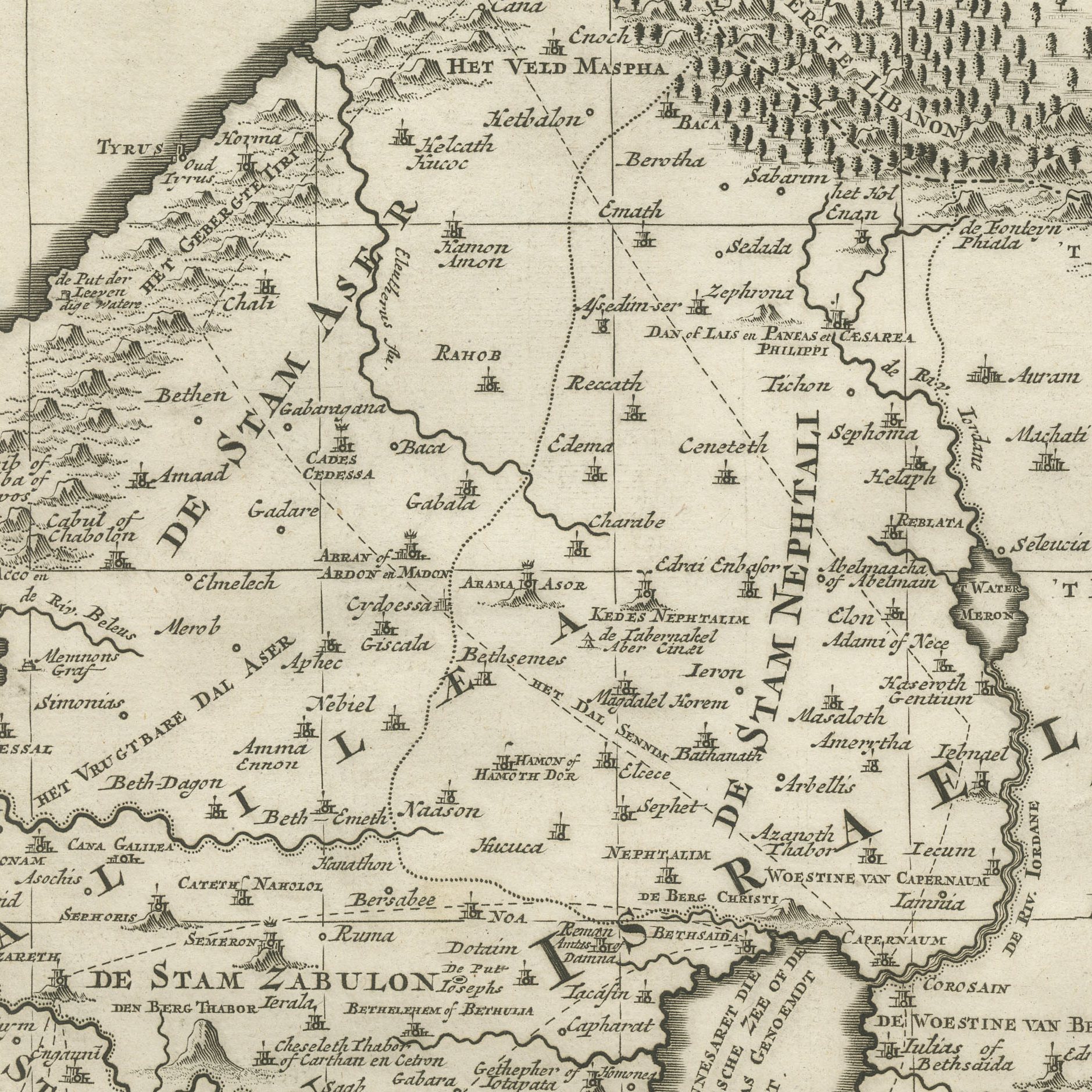
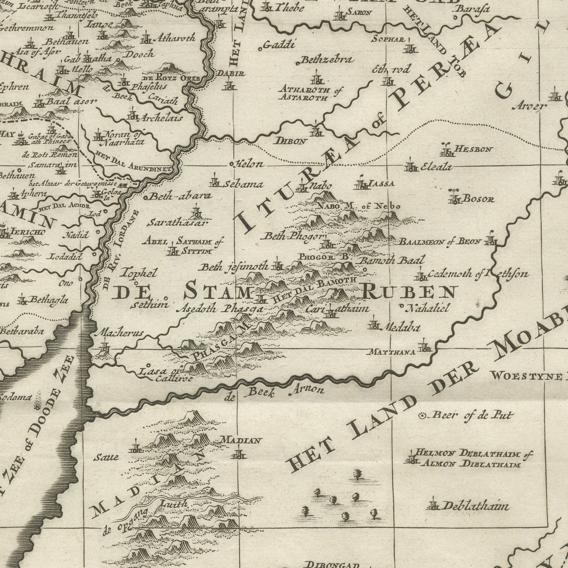
A large original antique map of the Holy Land, engraved on copper and lettered in Dutch within a great sculptural cartouche at the upper left: HET HEYLIGE LAND verdeeld in de Twaalf Stammen ISRAELS waar in duidelyk is aangewesen de Reysen van JESUS-CHRISTUS, serving as a light upon the histories of the Bible. The cartouche is built as a stone tablet surrounded by a crowd of figures, with Christ healing the sick at the left and palm trees behind. The Mediterranean is lettered DE GROOTE ZEE at the right, the desert of Arabia at the left, and the territories of the twelve tribes are ruled across the country with their names in open capitals.
The map was drawn and engraved by Johannes van Luchtenburg for the great folio bible history published in Amsterdam by Pieter Mortier in 1700, David Martin's Historie des Ouden en Nieuwen Testaments, one of the most lavishly illustrated Dutch books of its period. Mortier was among the most ambitious publishers in Amsterdam and these large bible plates were his showpiece; the plates were reissued later in the century by Covens and Mortier.
Bible maps of the Holy Land are valued as much for their subject as for their geography. This is one of the largest and most sculptural of them. It is a substantial sheet, and the figural cartouche is a work of art in its own right.
Light uneven toning, browner towards the edges. Marked handling soiling along the top edge. Scattered foxing in the margin. All four corners complete.
This is an original antique map, not a modern reproduction. This item is sold unframed.