53 cm · 20.9 in
68.5 cm · 27 in
Close-ups
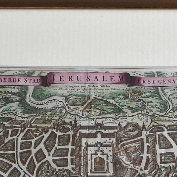
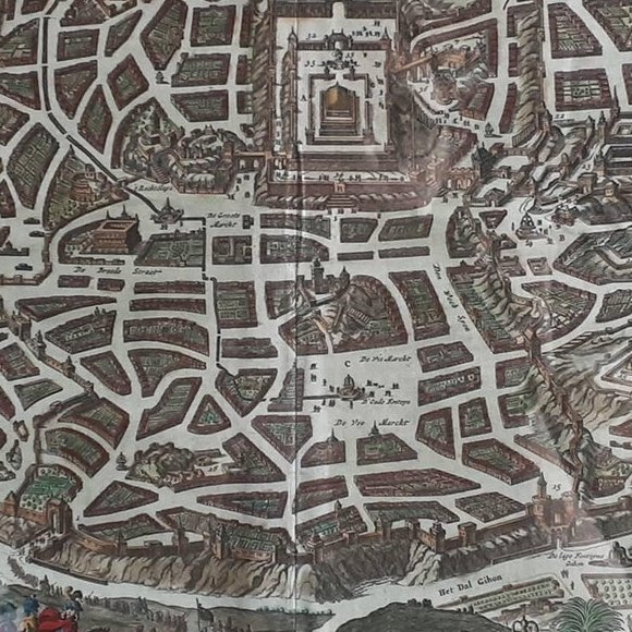
Framed and on the wall
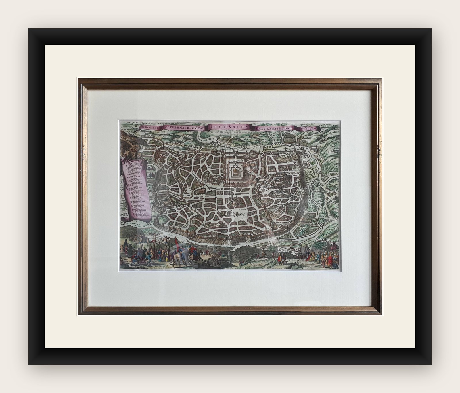
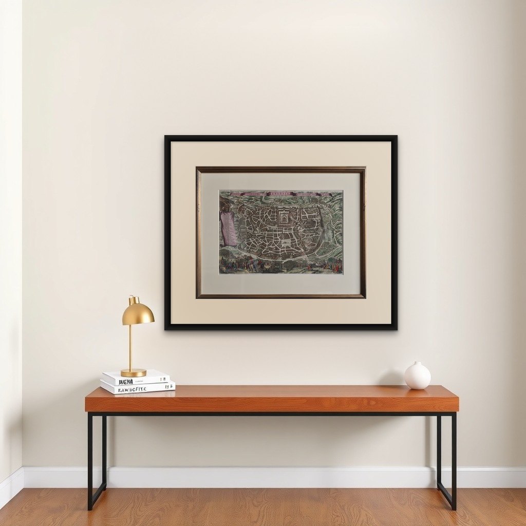

Frame and rooms are illustrations of how the print could look, drawn to its real size; it is sold unframed unless the description says otherwise.
The Holy Land
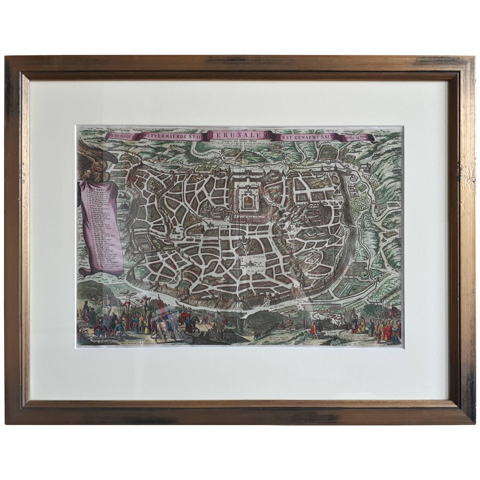
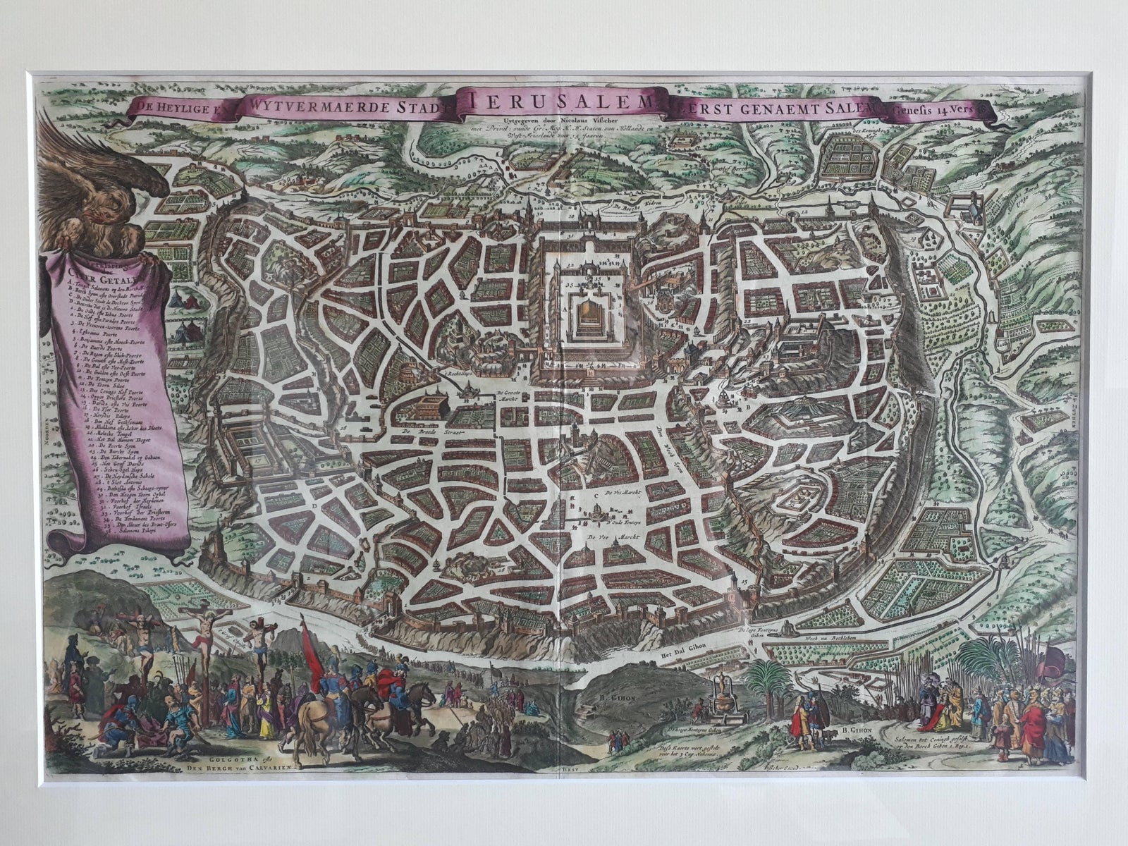
Antique Map of the City of Jerusalem by N. Visscher, 1702
Anno Domini MDCCII1702
$3,890
€3,450 · £2,930
Original print, not a reproduction
Ships worldwide from the Netherlands, flat, insured and tracked. 14-day returns. To buy, use Ask a question (info@antiquesacredprints.com) and we will reserve it for you.
- Date
- 1702
- Sheet size
- 20.9 × 27 in (53 × 68.5 cm)
- Condition
- Good. Great condition. Frame included, some minor defects. Please study image carefully.
- Faith
- Christianity, Judaism
- Collection
- The Holy Land
- Era
- 1700 to 1799, Mortier, Picart and the illustrated Bible
- Stock no.
- f_10287013
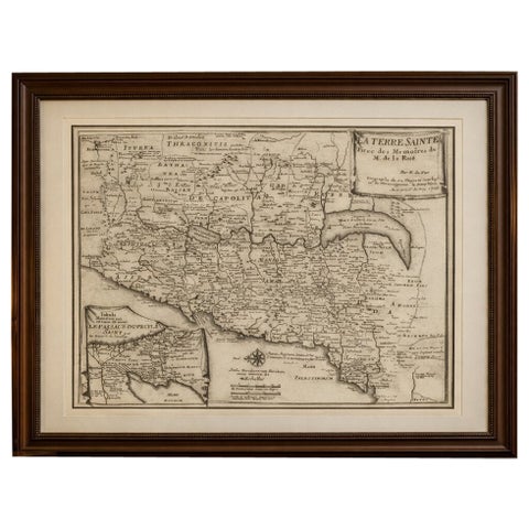
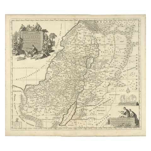
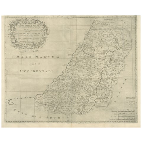
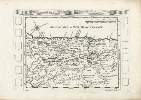
Antique map titled 'Die Heylige en Wytvermaerde stadt Jerusalem Eerst Genaemt Salem, Genesis 14 vers 18'. This map originates from 'Biblia. Ouden ende Nieuwen Testaments (..)'. Published, Jacob Lindberg, Amsterdam, 1702.
Explore