Close-ups
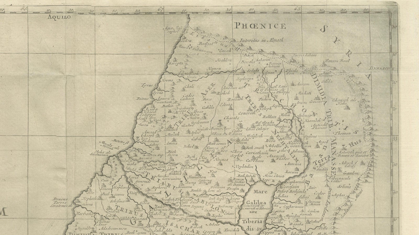
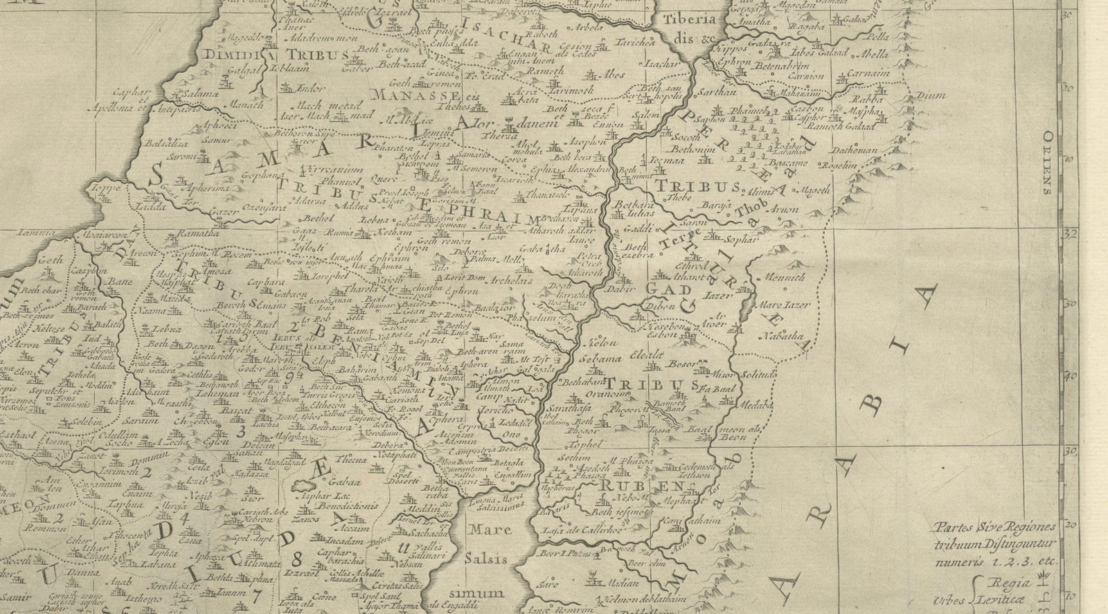
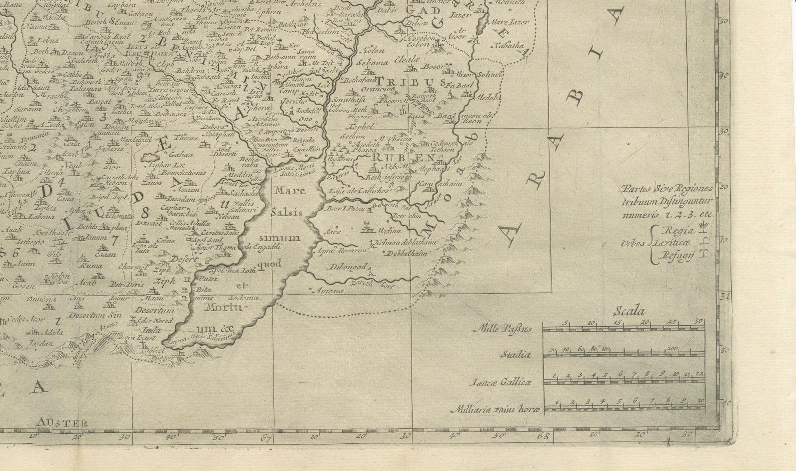
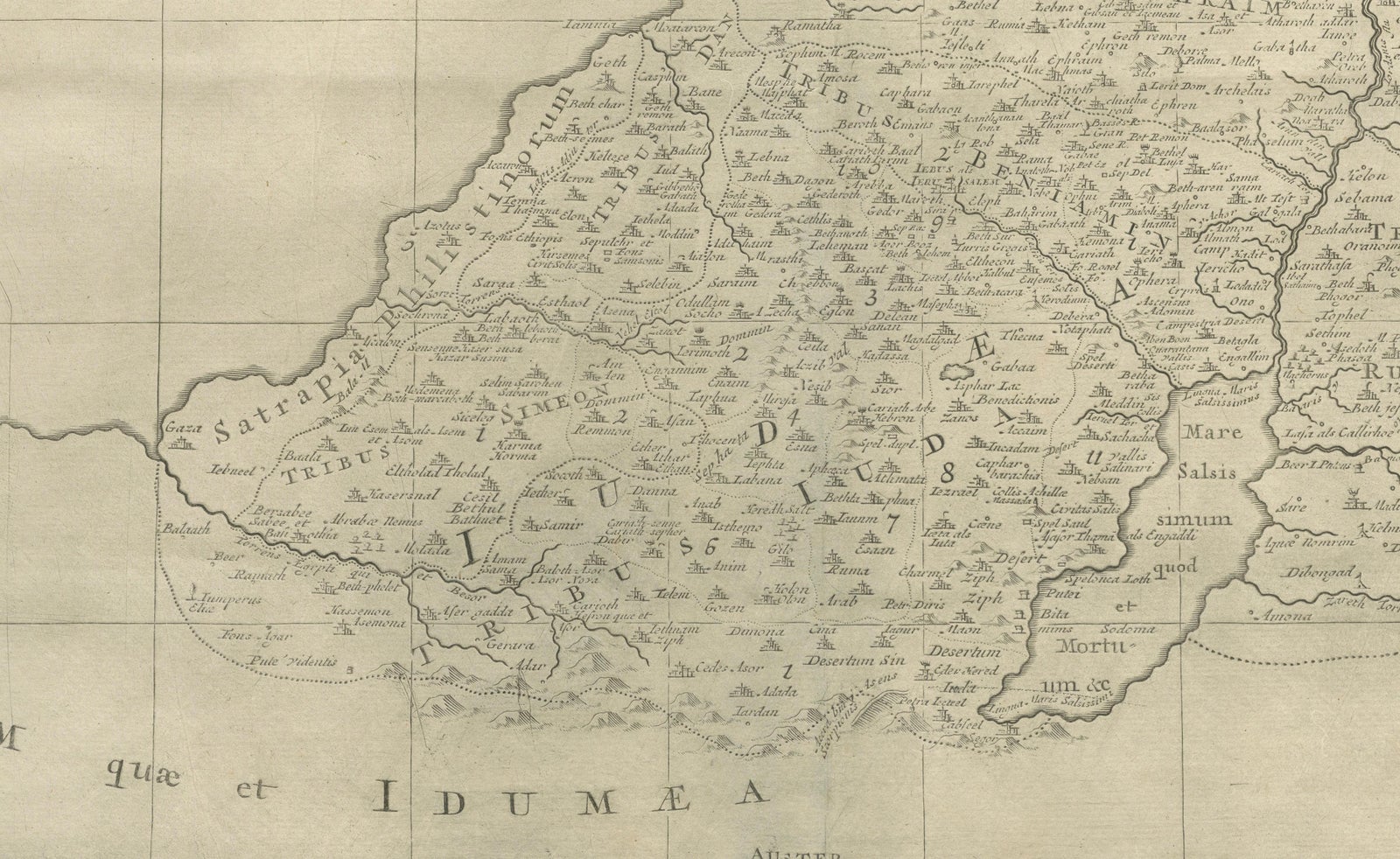
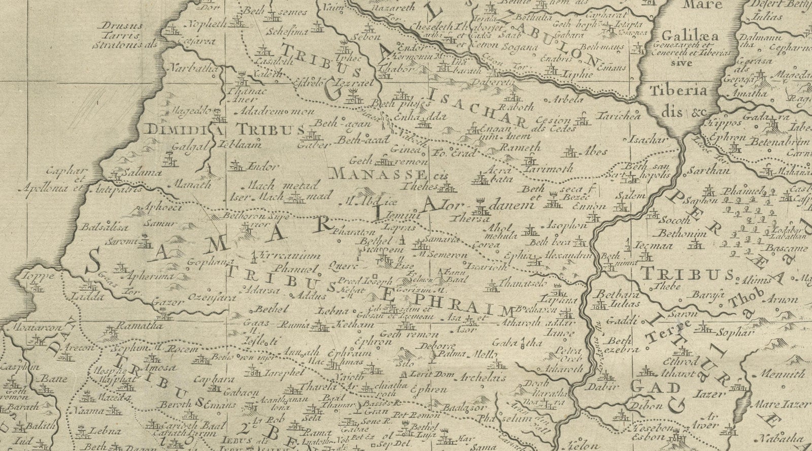
Framed and on the wall
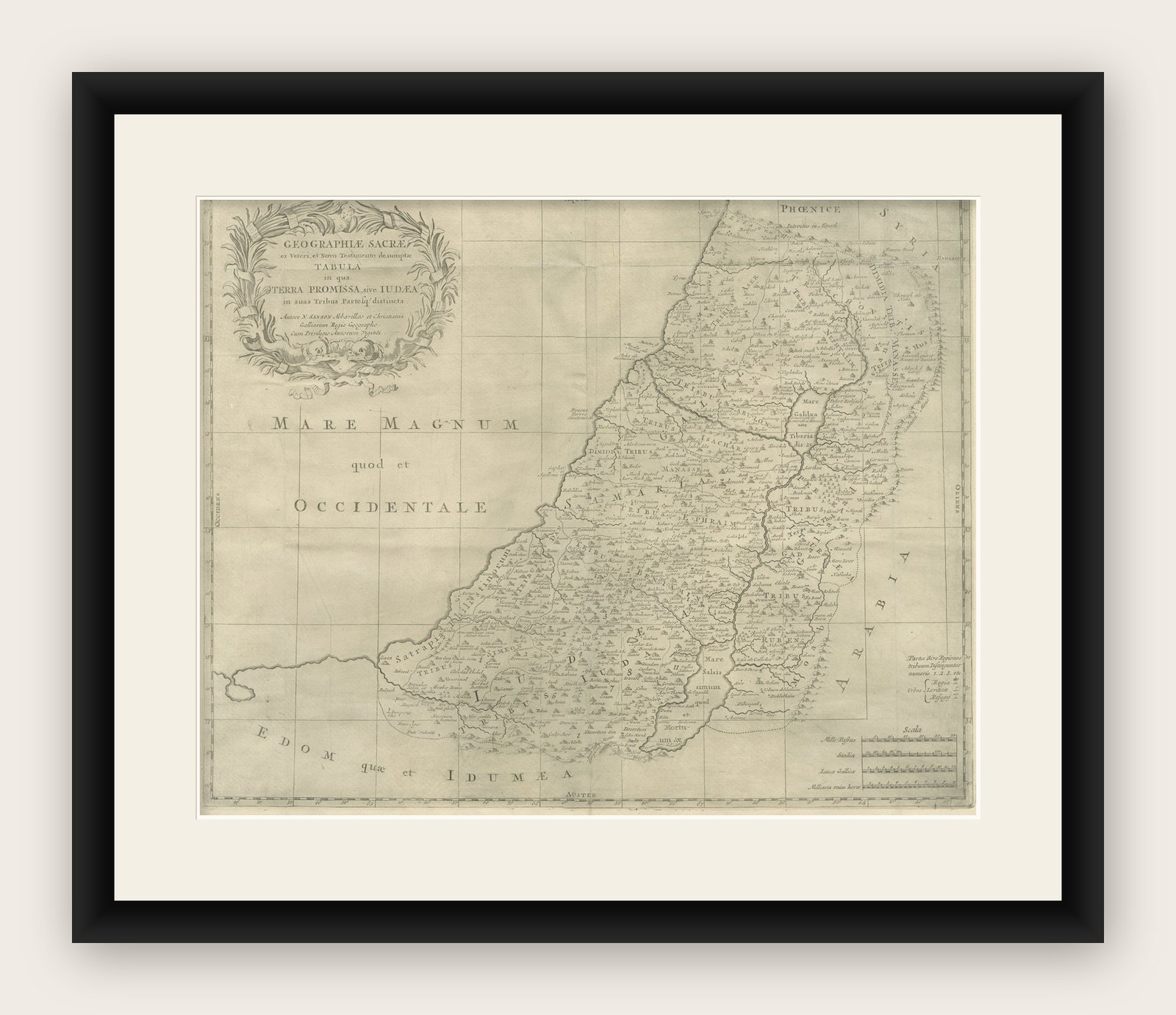
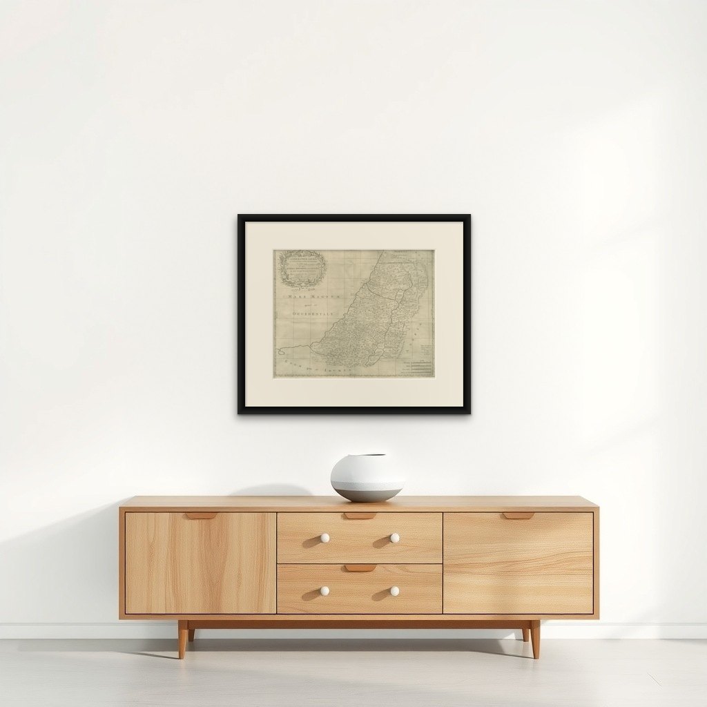

Frame and rooms are illustrations of how the print could look, drawn to its real size; it is sold unframed unless the description says otherwise.
The Holy Land
Holy Land Map, Terra Promissa or Judaea, Nicolas Sanson, c.1700
Anno Domini MDCC1700
$490
€440 · £370
Original print, not a reproduction
Ships worldwide from the Netherlands, flat, insured and tracked. 14-day returns. To buy, use Ask a question (info@antiquesacredprints.com) and we will reserve it for you.
- Date
- 1700
- Sheet size
- 17.1 × 21.3 in (43.5 × 54.2 cm)
- Condition
- Fair. Fair to good condition. Uncoloured engraved map with original old folds. Light overall toning consistent with age. Minor handling wear and light creasing visible. No major losses to the engraved surface.
- Faith
- Christianity, Judaism
- Collection
- The Holy Land
- Era
- 1700 to 1799, Mortier, Picart and the illustrated Bible
- Stock no.
- f_48101732
What the condition grades mean
- Excellent
- Bright and clean, with no faults worth mentioning.
- Very good
- Only light signs of age, such as faint toning.
- Good
- Normal signs of age for a sheet of this period: toning, some foxing, small marks or neat old repairs.
- Fair
- Clear faults such as staining, tears or repairs, priced to match.
Every fault we see is written in the condition note, and the whole sheet is shown uncropped in the photos.
Holy Land Map, Terra Promissa or Judaea, Nicolas Sanson, c.1700
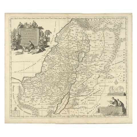
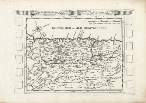
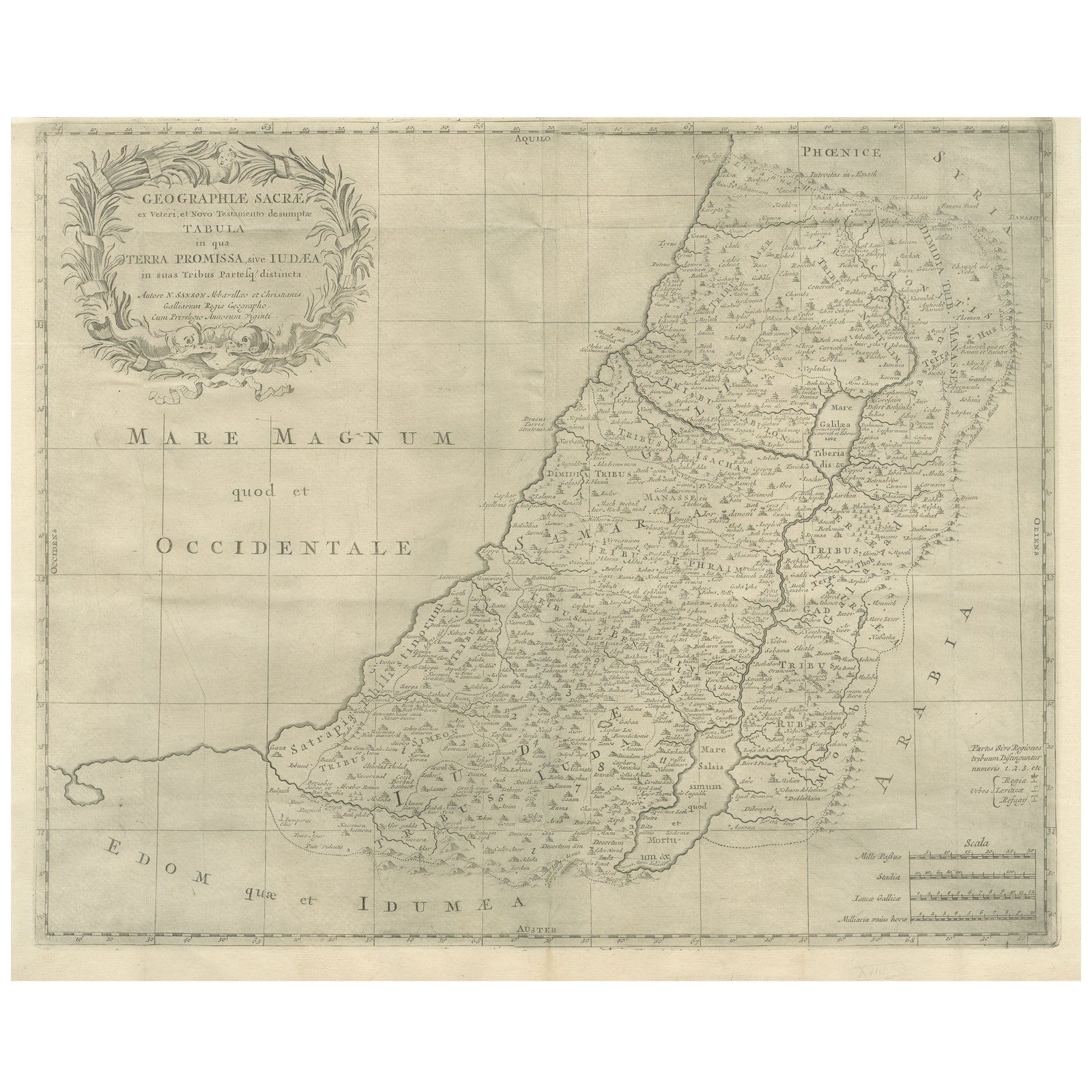
This antique map depicts the Holy Land, or Terra Promissa (Promised Land), as described in the Old and New Testaments, presenting Judaea divided according to biblical tradition. Titled Geographiae Sacræ ex Veteri et Novo Testamento desumptæ Tabula, in qua Terra Promissa sive Judæa, the map illustrates the land historically associated with the Twelve Tribes of Israel, with boundaries, cities, rivers, deserts, and regions carefully laid out.
The map was created by Nicolas Sanson (1600 to 1667), regarded as the founder of French scientific cartography. Although Sanson died in 1667, his maps continued to be published and reissued by his heirs and successors into the late 17th and early 18th centuries, making circa 1700 a plausible date for this impression. Sanson’s biblical maps were widely used for theological study, historical reference, and education, reflecting contemporary European scholarship rather than modern geographical accuracy.
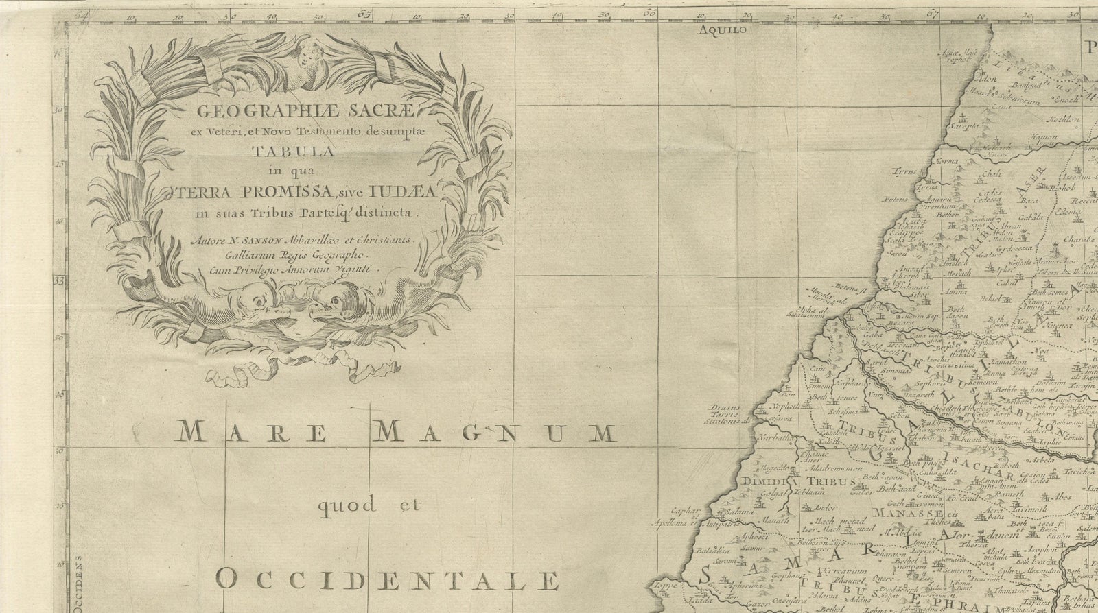
The map extends from the Mediterranean coast to Arabia and Idumaea, and from Phoenicia in the north to the deserts south of Judaea. The River Jordan, the Dead Sea, Galilee, Samaria, and Judaea are prominently shown, with dense place-name detail throughout. A decorative engraved title cartouche appears in the upper left, framed by baroque foliage, reinforcing the scholarly yet ornamental character of the work. The engraving is uncoloured, emphasizing line work and textual density typical of Sanson’s cartographic style.
This map is well suited to collectors of early biblical cartography, Holy Land maps, and French 17th-century engraving. Its restrained appearance and strong historical associations also make it attractive as a decorative interior piece for libraries, studies, or gallery walls.
Condition:
Fair to good condition. Uncoloured engraved map with original old folds. Light overall toning consistent with age. Minor handling wear and light creasing visible. No major losses to the engraved surface.
Framing tips:
This map benefits from a light parchment or warm off-white mat to preserve its scholarly character. A simple dark wood or black frame works well to highlight the fine engraving and dense detail. UV-protective glazing is recommended.
Technique: Copper engraving
Maker: Nicolas Sanson, France, circa 1700
Keywords: Jerusalem, Holy Land, Holy City, Renaissance Jerusalem view, antique Jerusalem print, biblical Jerusalem, Holy Sepulchre, Temple of Solomon, Mount Zion, Gethsemane, Valley of Jehoshaphat, Jericho, biblical geography, early Holy Land map, 16th century woodcut, Renaissance woodcut, Sebastian Münster circle, antique religious print, Christian cartography, biblical city view, antique Israel print, Palestine, sacred geography, early modern cosmography
Explore