Close-ups
Framed and on the wall
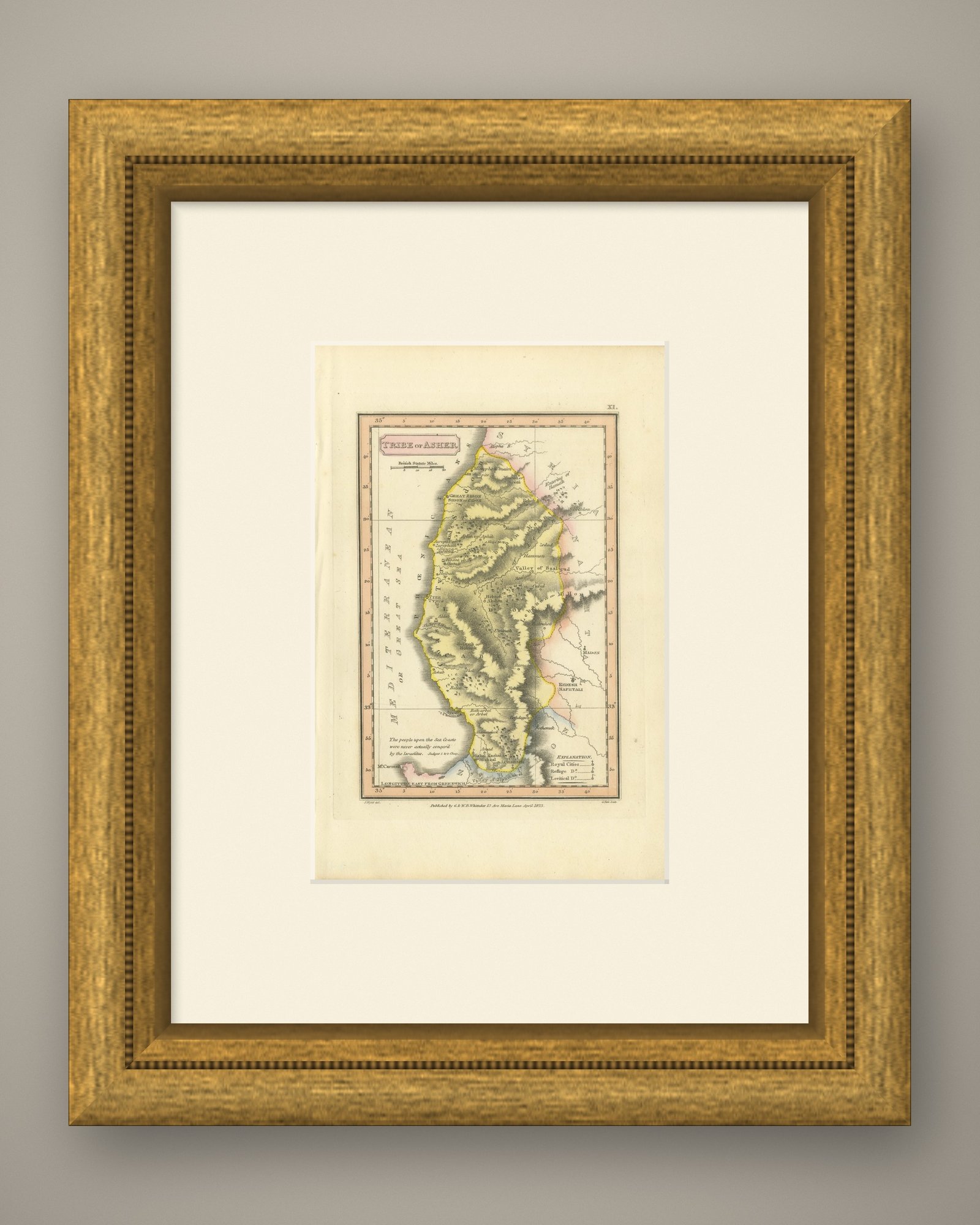


Frame and rooms are illustrations of how the print could look, drawn to its real size; it is sold unframed unless the description says otherwise.
The Holy Land
Hand-Colored Antique Map of the Tribe of Asher, Wyld, 1823
Anno Domini MDCCCXXIII1823
£205
$270 · €240
Original print, not a reproduction
Ships worldwide from the Netherlands, flat or rolled, insured and tracked. 14-day returns.
- Date
- 1823
- Technique
- Copper engraving
- Coloring
- Original hand color
- Condition
- Good. Light uneven toning, browner toward the edges. Marked handling soiling along the bottom, right and top edges. Scattered light foxing in the margin. All four corners are present. One larger brown mark.
- Faith
- Christianity, Judaism
- Collection
- The Holy Land
- Era
- 1800 to 1849, Travellers and the costume books
- Stock no.
- BG-14409-11
What the condition grades mean
- Excellent
- Bright and clean, with no faults worth mentioning.
- Very good
- Only light signs of age, such as faint toning.
- Good
- Normal signs of age for a sheet of this period: toning, some foxing, small marks or neat old repairs.
- Fair
- Clear faults such as staining, tears or repairs, priced to match.
Every fault we see is written in the condition note, and the whole sheet is shown uncropped in the photos.
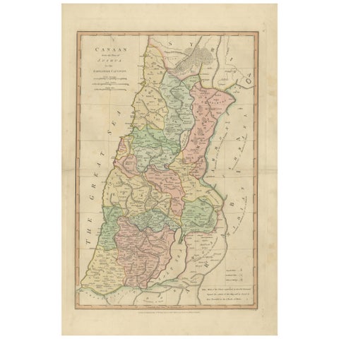
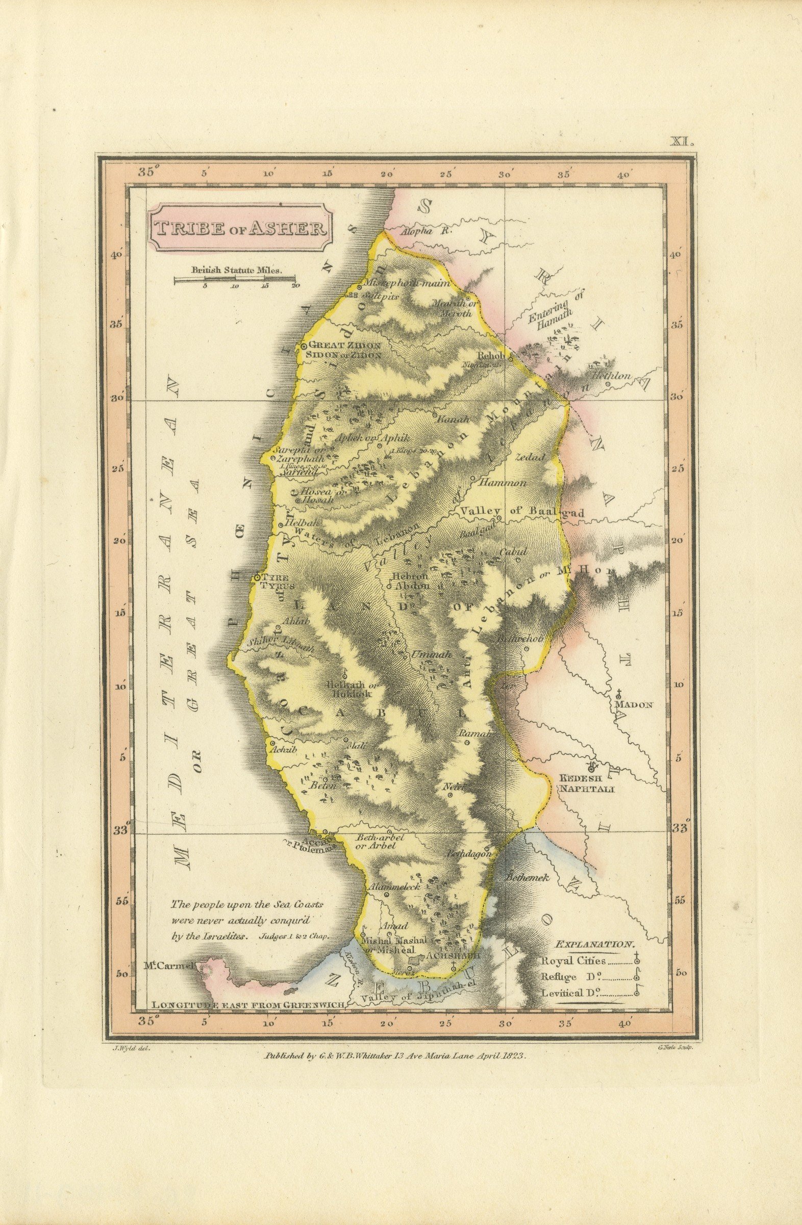
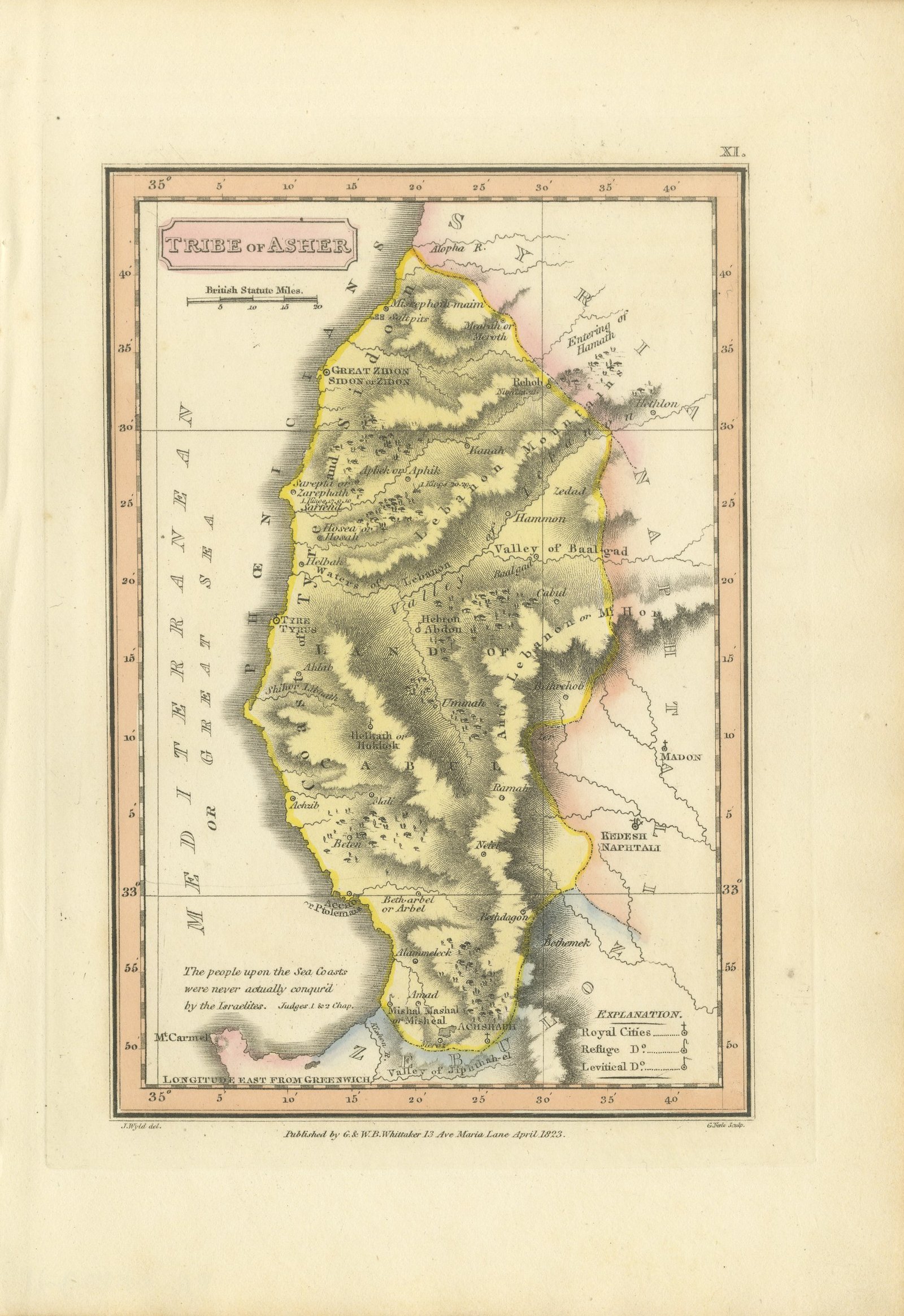
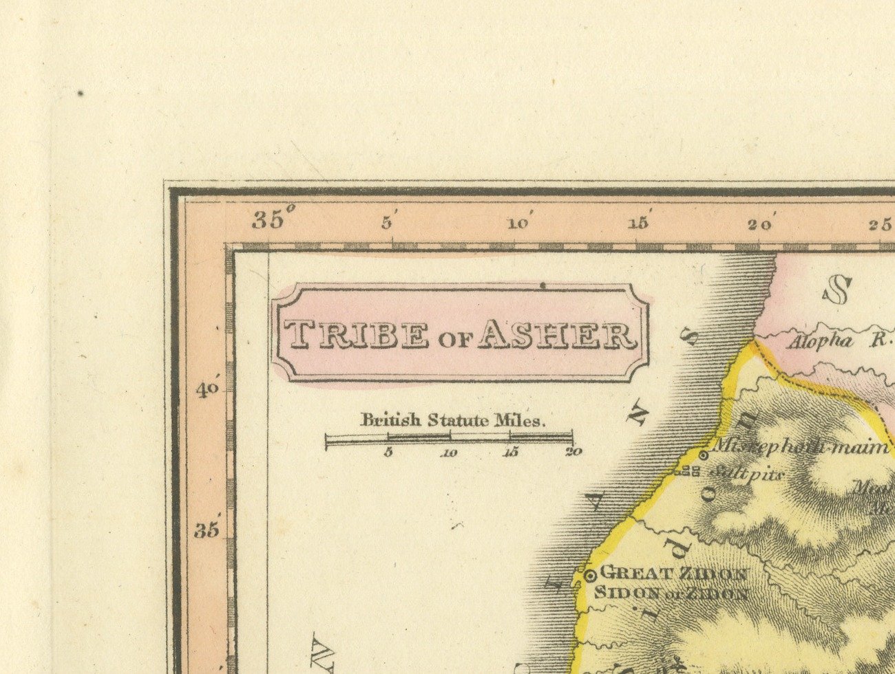
This is an original antique copper engraved map with original hand coloring, published in 1823 as plate XI of James Wyld's Geographia Sacra, or Scripture Atlas. The title, engraved in a pink panel at the upper left, reads "TRIBE of ASHER".
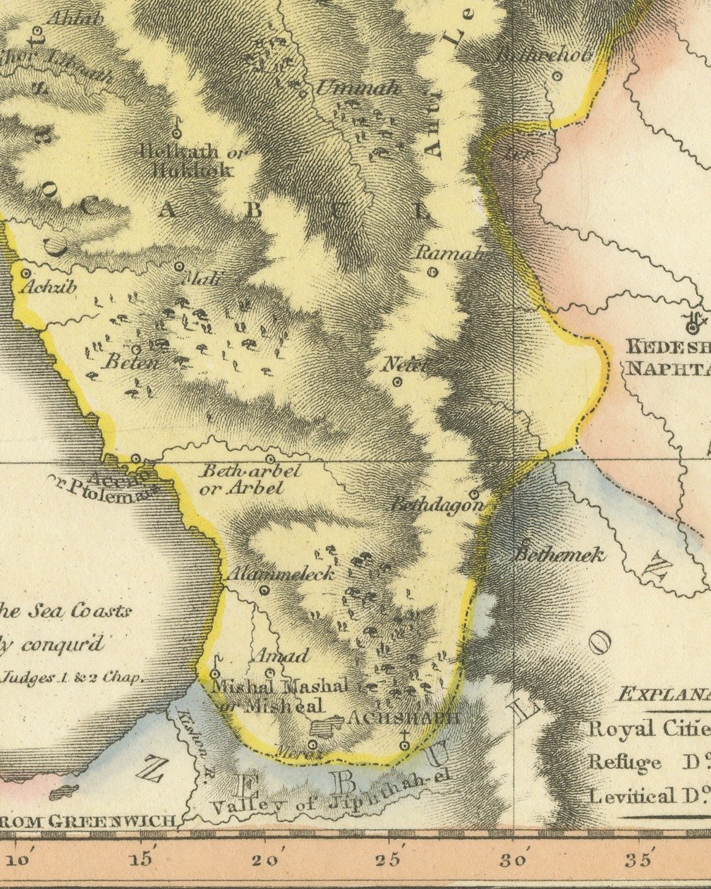
Asher is washed in yellow along the coast, with the Mediterranean, or Great Sea, down the left of the sheet. Mount Carmel stands at the lower left, Accho or Ptolemais and Achzib lie on the shore, and Tyre or Tyrus and Great Zidon or Sidon are marked to the north, with Lebanon and the Valley of Baalgad drawn in hachure inland. Naphtali lies to the east and Zebulun, washed in blue, to the southeast. Below the title is a scale of British Statute Miles, and an explanation at the lower right keys royal cities, cities of refuge and Levitical cities. An engraved note in the sea at the lower left reads "The people upon the Sea Coasts were never actually conqur'd by the Israelites. Judges 1. & 2 Chap."
Under the lower left corner of the border is the credit "J. Wyld del.", under the lower right corner "G. Neele Sculp.", and centered between them the imprint "Published by G. & W. B. Whittaker 13 Ave Maria Lane April 1823." The plate number "XI." is engraved above the upper right corner of the border.
The map comes from Geographia Sacra, or Scripture Atlas, published in London in 1823 by G. and W. B. Whittaker, whose imprint runs along the lower margin. The engraved title page of the atlas names its author as Wyld "of the Quarter Master General's Office, Horse Guards". James Wyld the elder (1790 to 1836) was a London geographer and map publisher.
Light uneven toning, browner toward the edges. Marked handling soiling along the bottom, right and top edges. Scattered light foxing in the margin. All four corners are present. One larger brown mark.
This is an original antique map, not a modern reproduction. This item is sold unframed. Any framed or interior images are shown for presentation and inspiration only, unless the listing explicitly states that the item is sold framed.
Explore