Close-ups
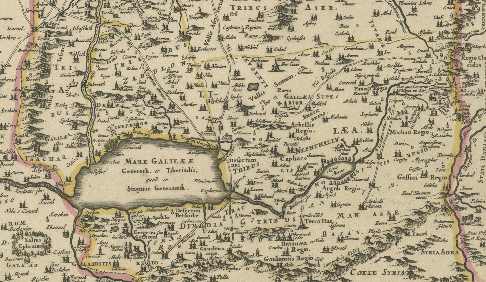
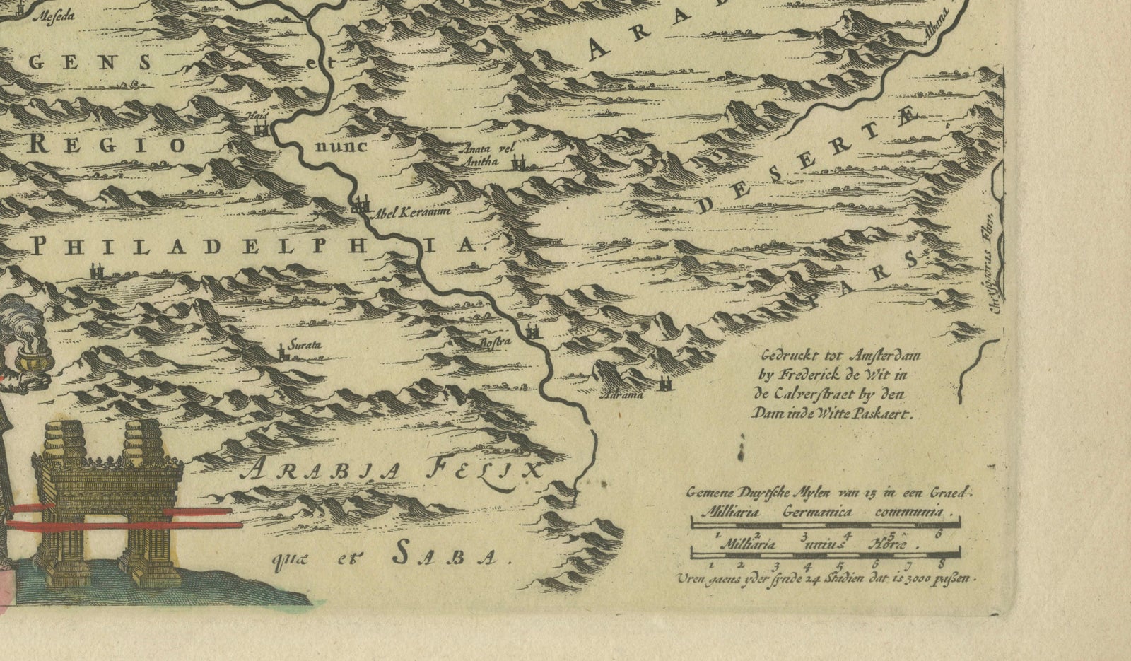
Framed and on the wall
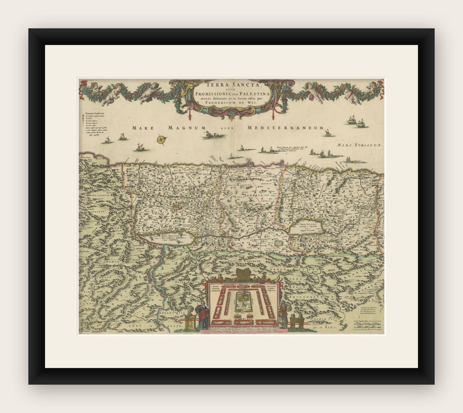
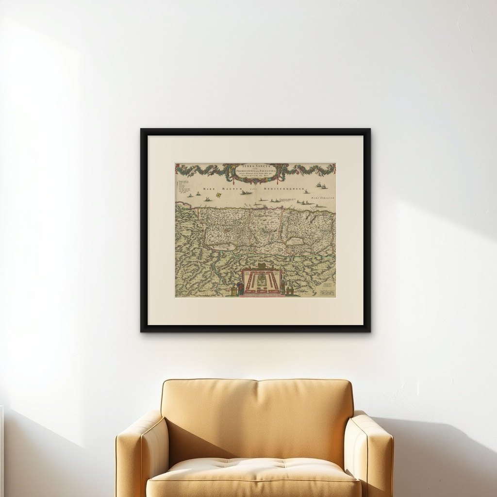
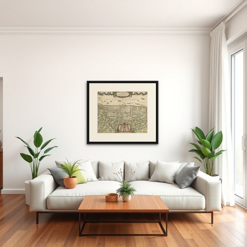
Frame and rooms are illustrations of how the print could look, drawn to its real size; it is sold unframed unless the description says otherwise.
The Holy Land
Frederic de Wit Map of Palestine, Terra Sancta, Amsterdam c.1670
Anno Domini MDCLXX1670
£1,070
$1,420 · €1,260
Original print, not a reproduction
Ships worldwide from the Netherlands, flat, insured and tracked. 14-day returns. To buy, use Ask a question (info@antiquesacredprints.com) and we will reserve it for you.
- Date
- 1670
- Sheet size
- 18.1 × 21.9 in (46 × 55.7 cm)
- Condition
- Strong, even impression on sturdy laid paper with a clearly visible watermark; original hand colour remains fresh and translucent. Old vertical centre-fold as issued; light age-tone and a few scattered, faint fox spots confined to margins.
- Faith
- Christianity, Judaism
- Collection
- The Holy Land
- Era
- Before 1700, Woodcuts and the great atlases
- Stock no.
- f_45555772
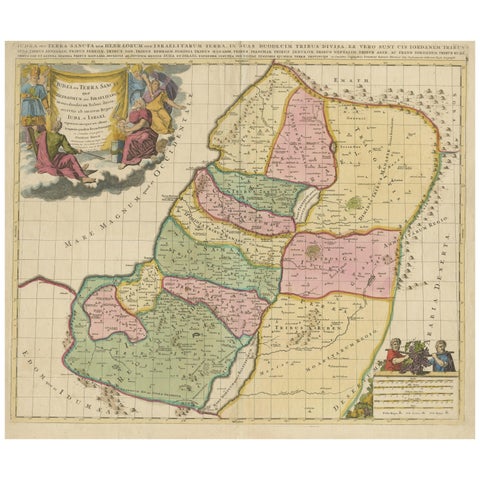
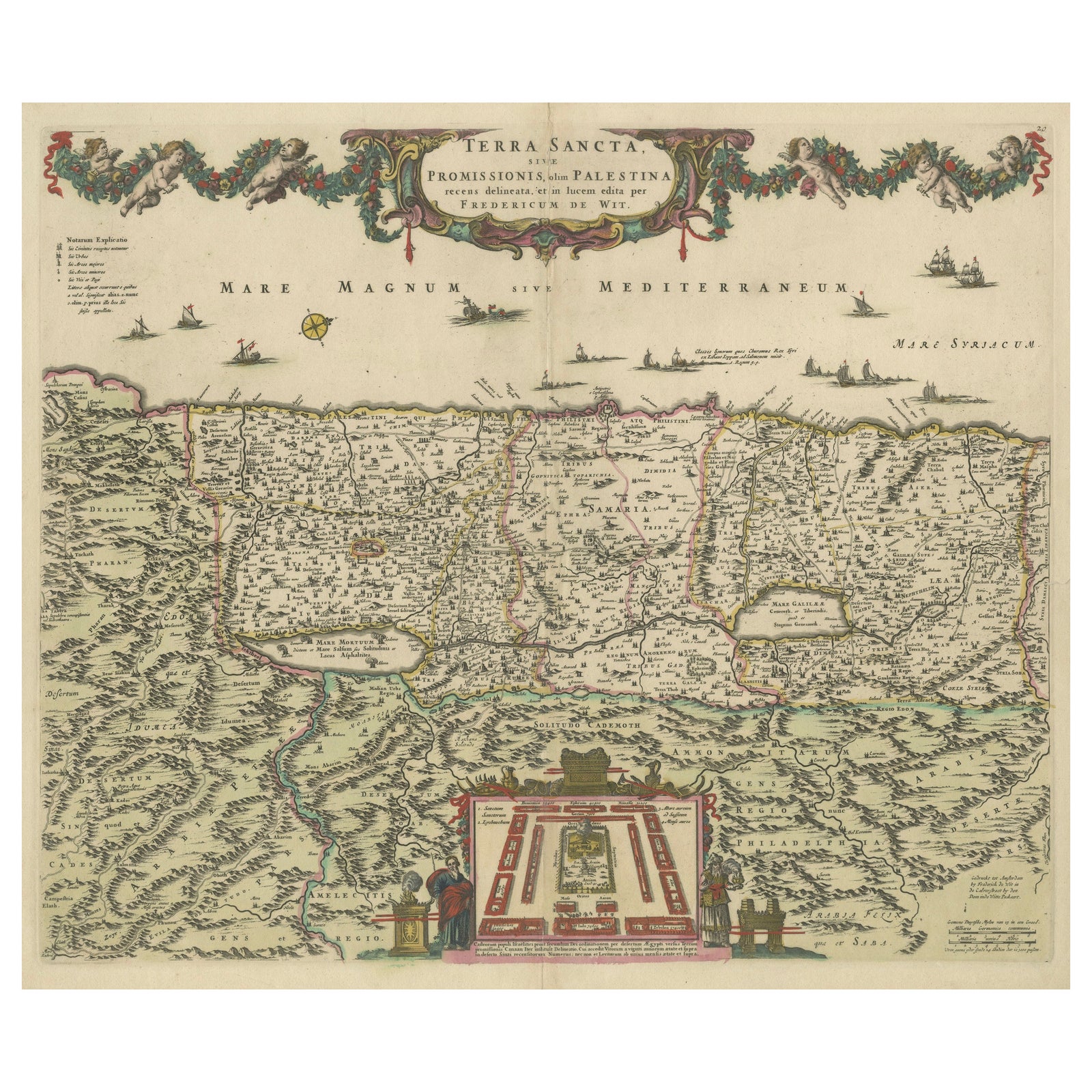
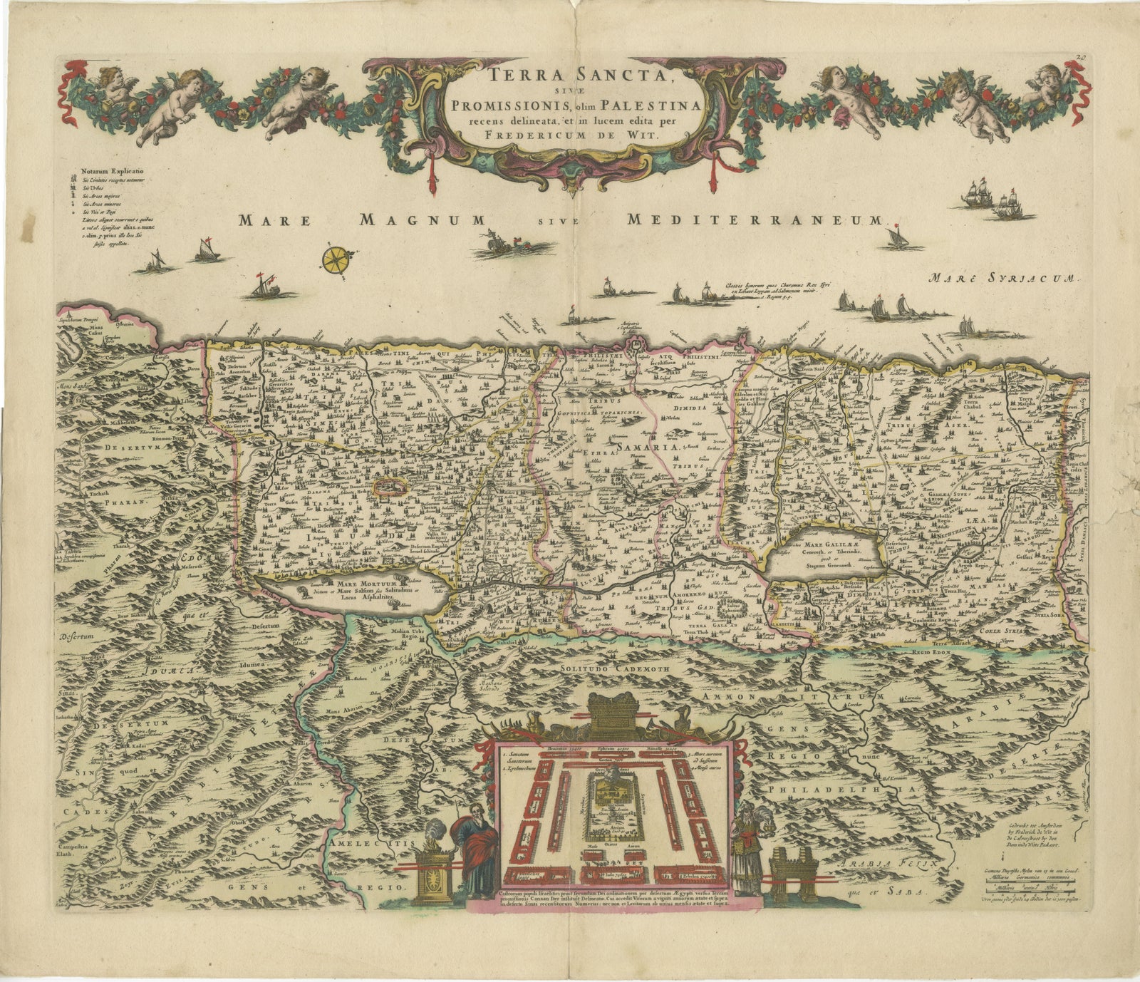
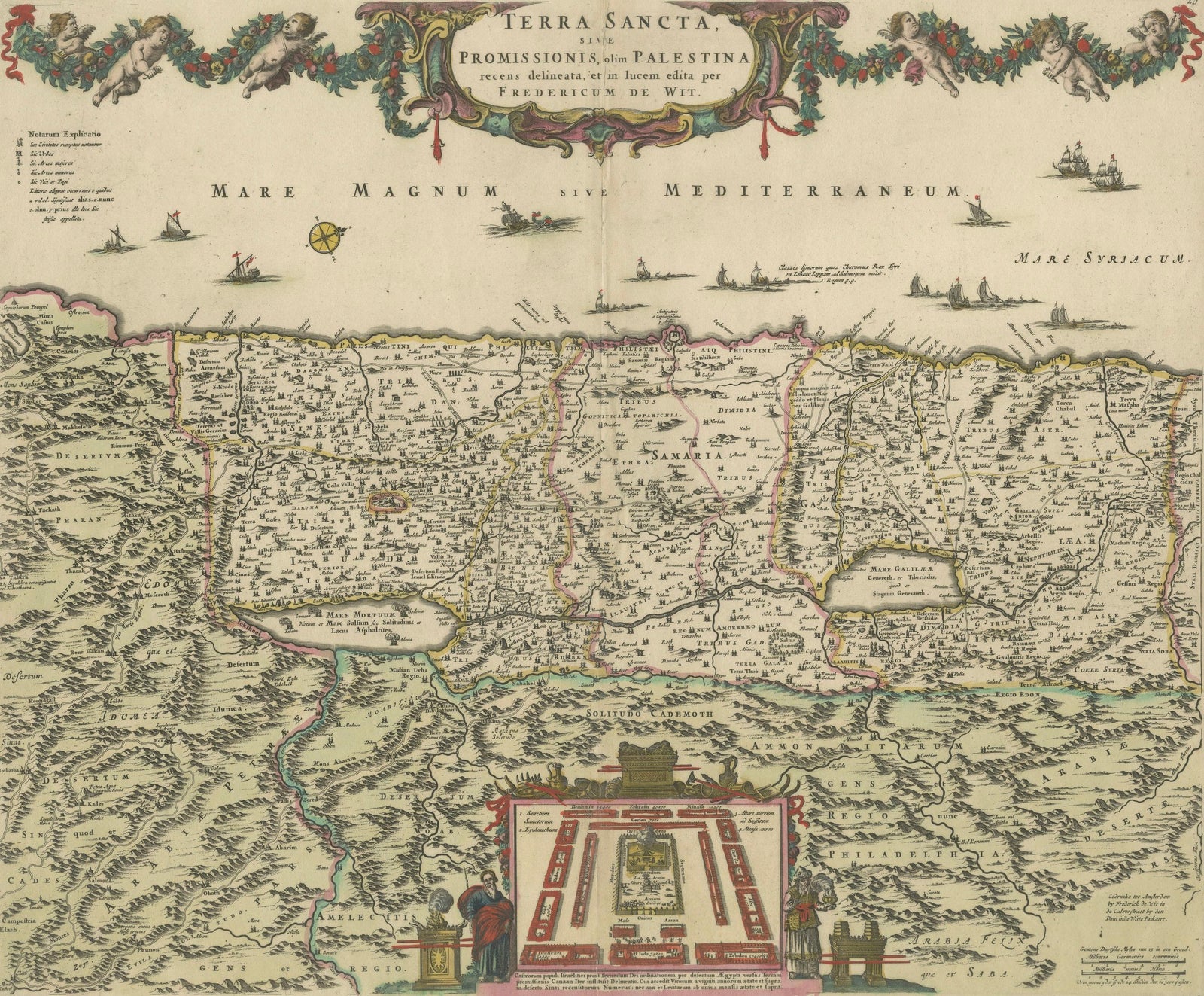
Terra Sancta sive Promissionis, olim Palestina, hand-coloured copper-engraved map of the Holy Land by Frederic de Wit, Amsterdam, circa 1670
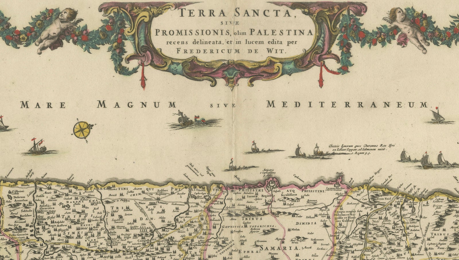
This impressive folio sheet, bearing the full Latin title “TERRA SANCTA, sive PROMISSIONIS, olim PALESTINA,” was engraved and published by the Dutch Golden-Age cartographer and print-seller Frederic de Wit (1629 to 1706) around 1670, shortly after he took over the plates of Willem Jansz. Blaeu and Johannes Janssonius and began issuing his own atlases from the Kalverstraat in Amsterdam. De Wit’s work is renowned for its crisp line, balanced lettering, and exuberant baroque ornament, all of which are on display here.
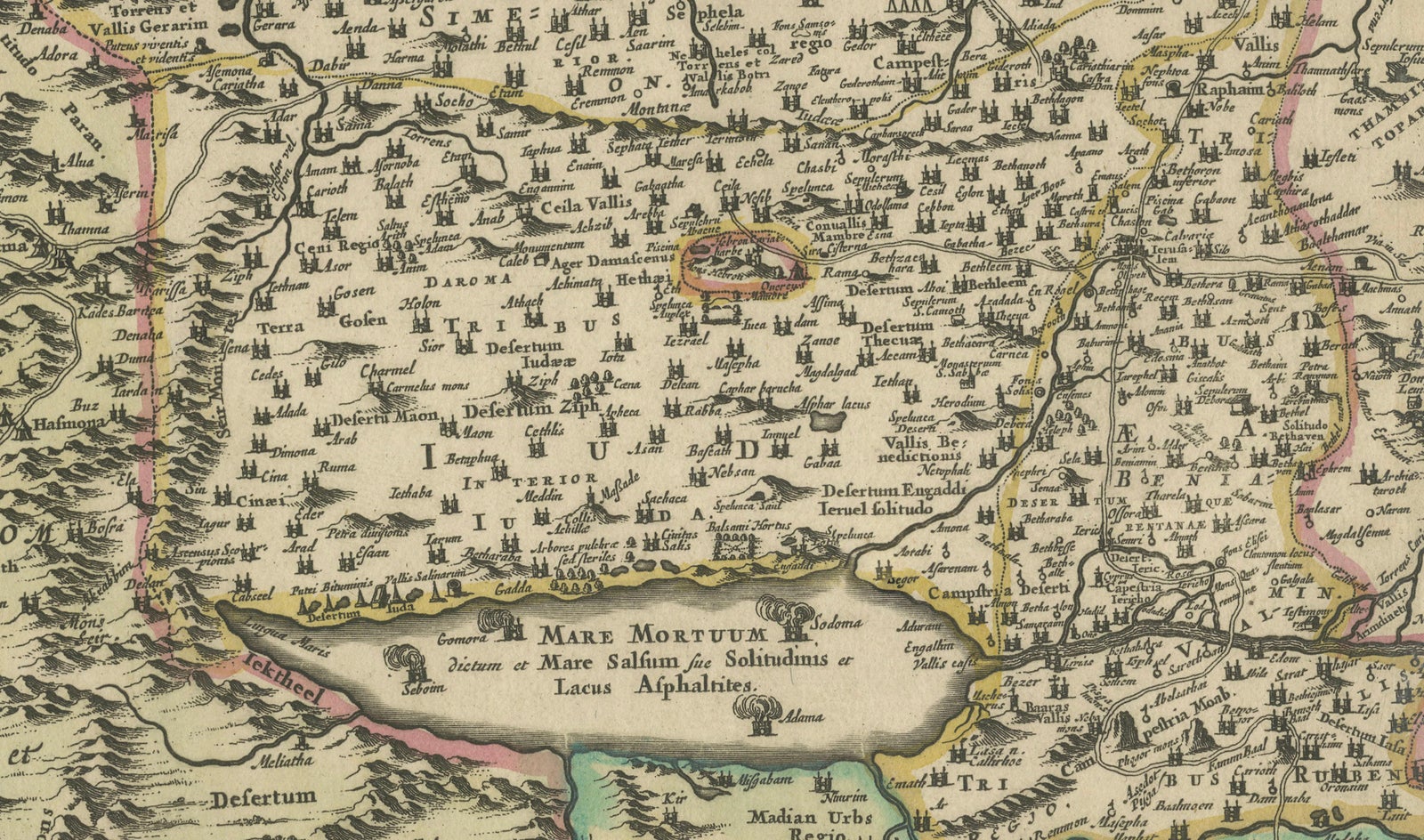
The geography follows the traditional orientation with the Mediterranean at the top (labelled MARE MAGNUM sive MEDITERRANEUM) and the River Jordan flowing into the Dead Sea, while the interior is divided into the territories of the Twelve Tribes of Israel, making the map valuable to both biblical scholars and collectors of Judaica. A lively procession of galleons and sea-creatures animates the coastal waters, echoing the maritime power of the Dutch Republic at the time the map was printed. Across the upper border a floral swag held aloft by winged putti provides a joyful frame for the title cartouche.
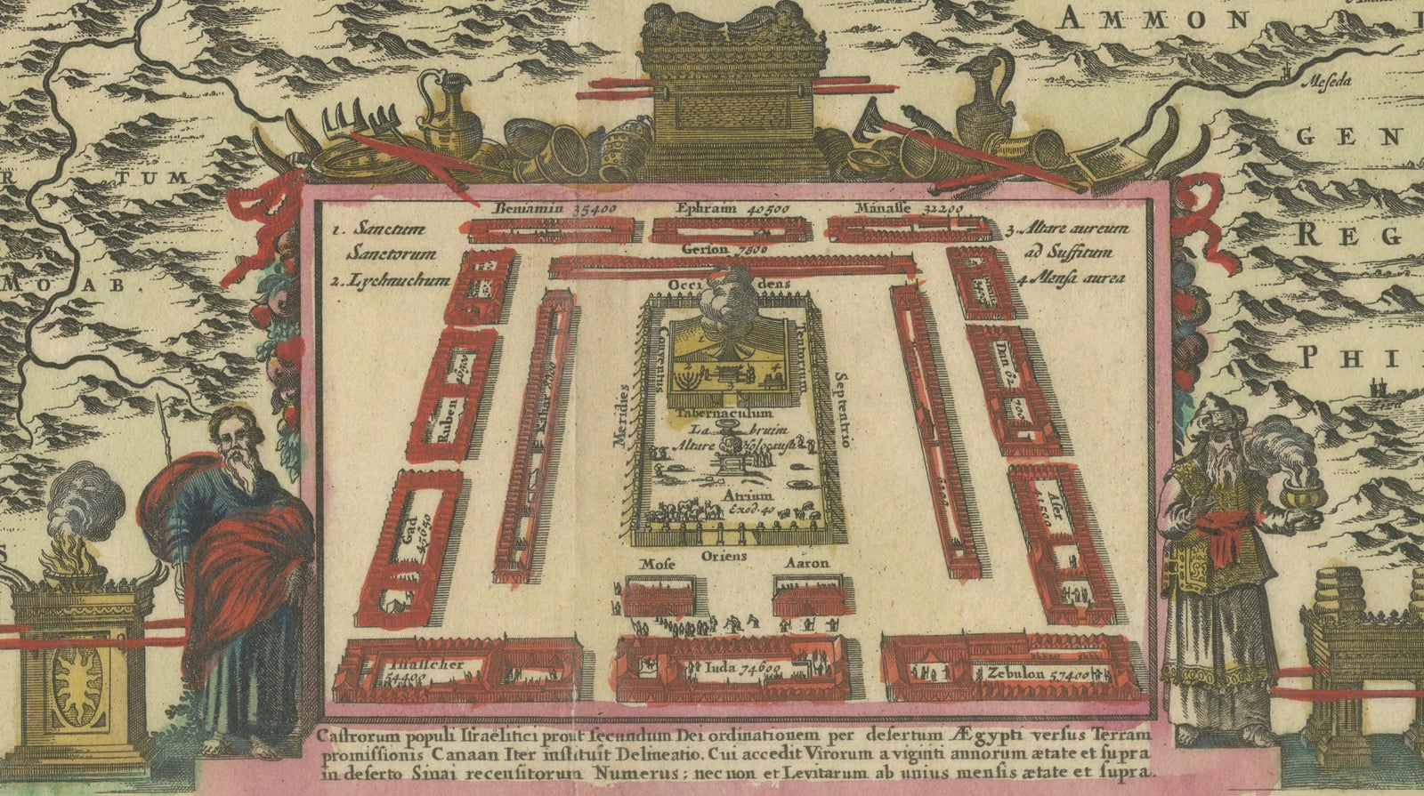
Most striking is the large inset across the bottom centre: an architectural bird’s-eye plan of the Tabernacle in the Wilderness, complete with the Ark of the Covenant, the altar of burnt offerings, and the arrangement of the encamped tribes. This vignette, rarely found so elaborately rendered, underscores the map’s dual purpose as both geographical reference and didactic aid for readers of the Old Testament. Its presence sets De Wit’s plate apart from earlier Holy Land maps by Ortelius, Visscher, and Janssonius, and makes the print a favourite with collectors seeking decorative wall pieces that also carry deep iconographic meaning.
Condition: strong, even impression on sturdy laid paper with a clearly visible watermark; original hand colour remains fresh and translucent. Old vertical centre-fold as issued; light age-tone and a few scattered, faint fox spots confined to blank margins; two tiny edge nicks skilfully closed on the verso with thin Japanese tissue, well away from the printed border. No repairs or abrasions inside the engraved area. Graded Very Good+ for a work now more than 350 years old.
Tip on framing: float-mount the sheet in an acid-free 100 % cotton rag mat to reveal the full plate-mark and deckled edge, then glaze with UV-filtering acrylic or glass to shield the delicate water-based colours. A simple ebonised or medium-walnut moulding complements both period and modern interiors while letting the rich baroque cartouches and hand colouring command attention.
Keywords: Holy Land map, Terra Sancta, Palestina, Frederic de Wit, 17th-century Dutch cartography, antique Judaica, Twelve Tribes, Tabernacle plan, Jerusalem, biblical Israel, decorative copper engraving, Amsterdam atlas, baroque cartouche, Mediterranean Sea, collectible vintage print, Dutch Golden Age.
Explore