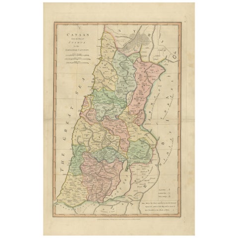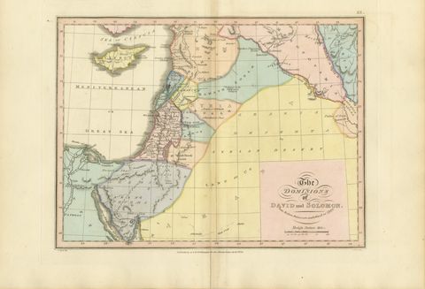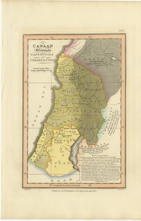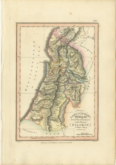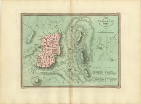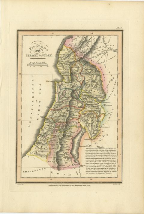
Close-ups
Framed and on the wall
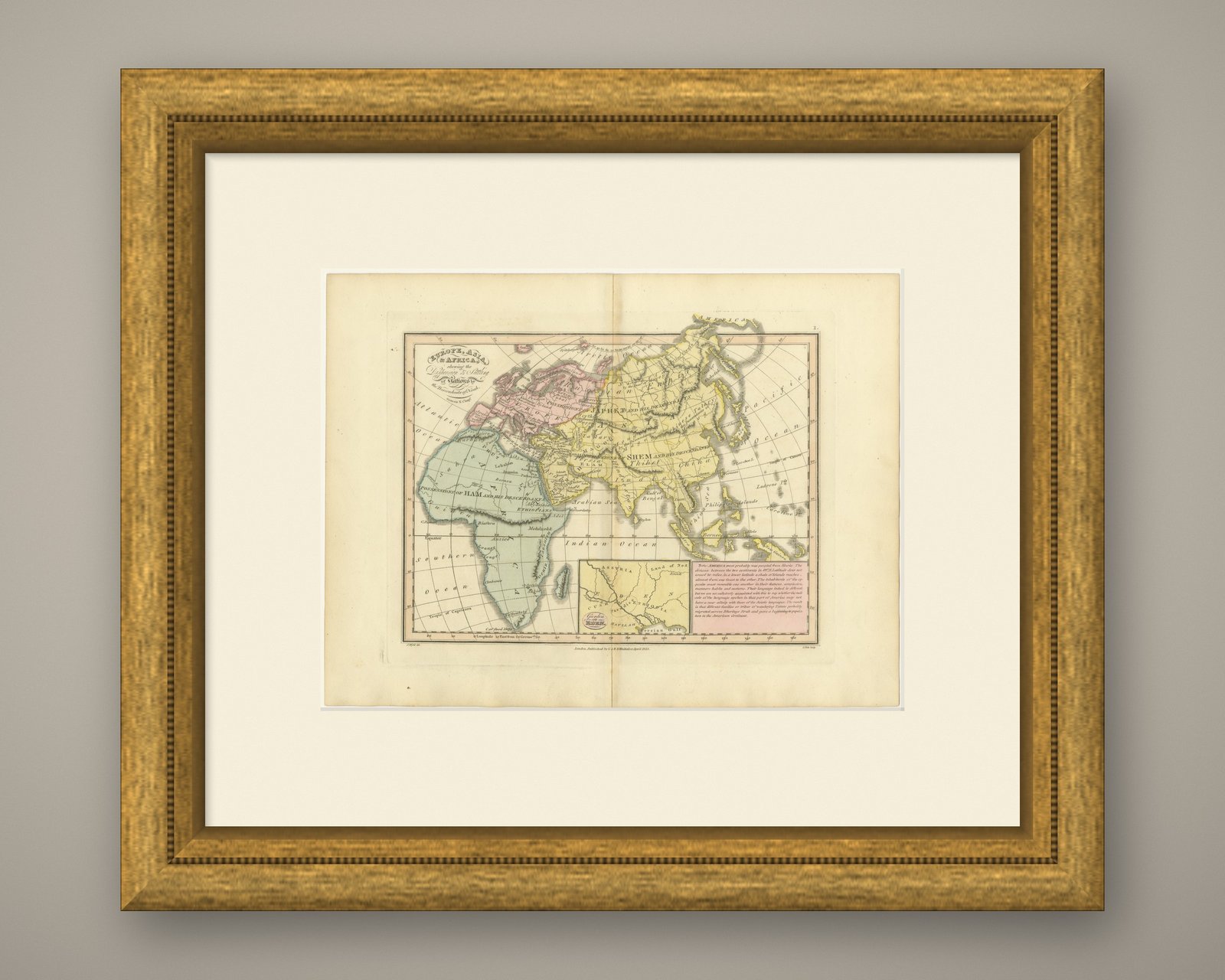


Frame and rooms are illustrations of how the print could look, drawn to its real size; it is sold unframed unless the description says otherwise.
The Holy Land
Europe, Asia and Africa After the Flood, Antique Wyld Map, 1823
Anno Domini MDCCCXXIII1823
£260
$350 · €310
Original print, not a reproduction
Ships worldwide from the Netherlands, flat or rolled, insured and tracked. 14-day returns.
- Date
- 1823
- Technique
- Copper engraving
- Coloring
- Original hand color
- Condition
- Good. Light uneven toning, browner toward the edges. Handling soiling along all four edges. Foxing over much of the margin. All four corners are present. Several larger brown marks. Original center fold as issued.
- Faith
- Christianity, Judaism
- Collection
- The Holy Land
- Era
- 1800 to 1849, Travellers and the costume books
- Stock no.
- BG-14409-1
What the condition grades mean
- Excellent
- Bright and clean, with no faults worth mentioning.
- Very good
- Only light signs of age, such as faint toning.
- Good
- Normal signs of age for a sheet of this period: toning, some foxing, small marks or neat old repairs.
- Fair
- Clear faults such as staining, tears or repairs, priced to match.
Every fault we see is written in the condition note, and the whole sheet is shown uncropped in the photos.
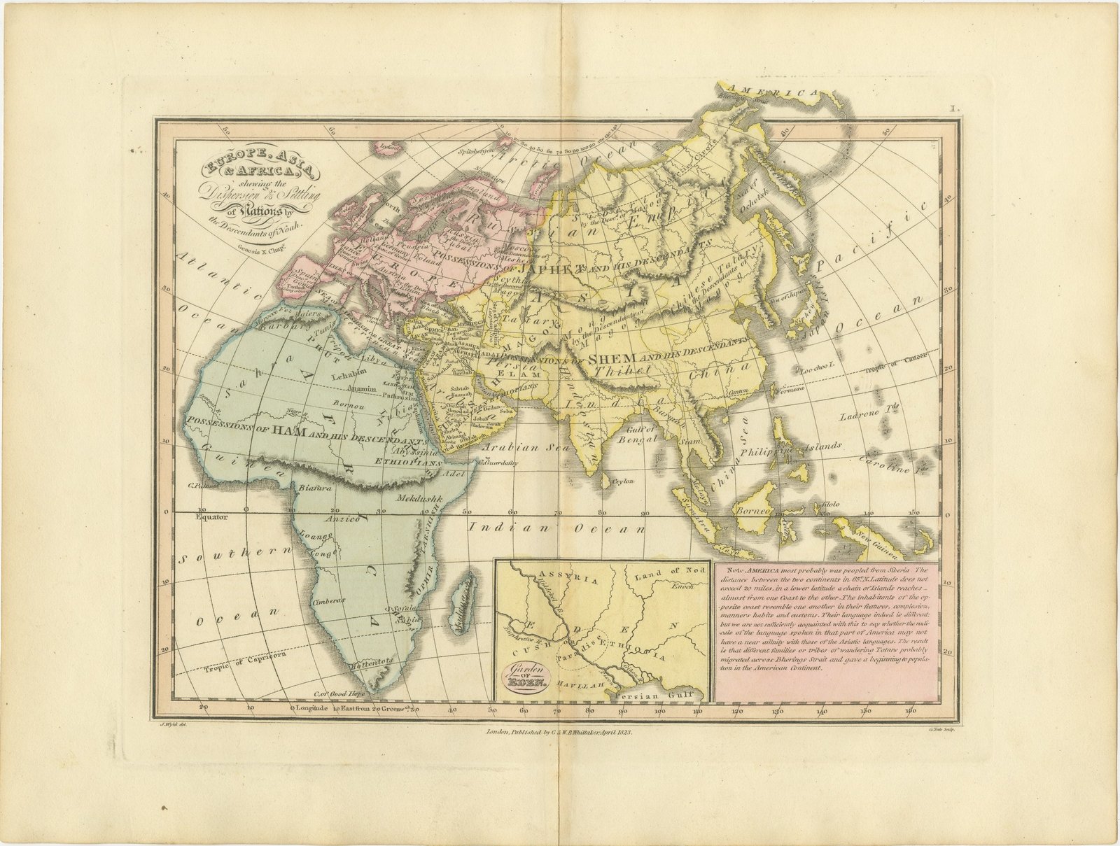
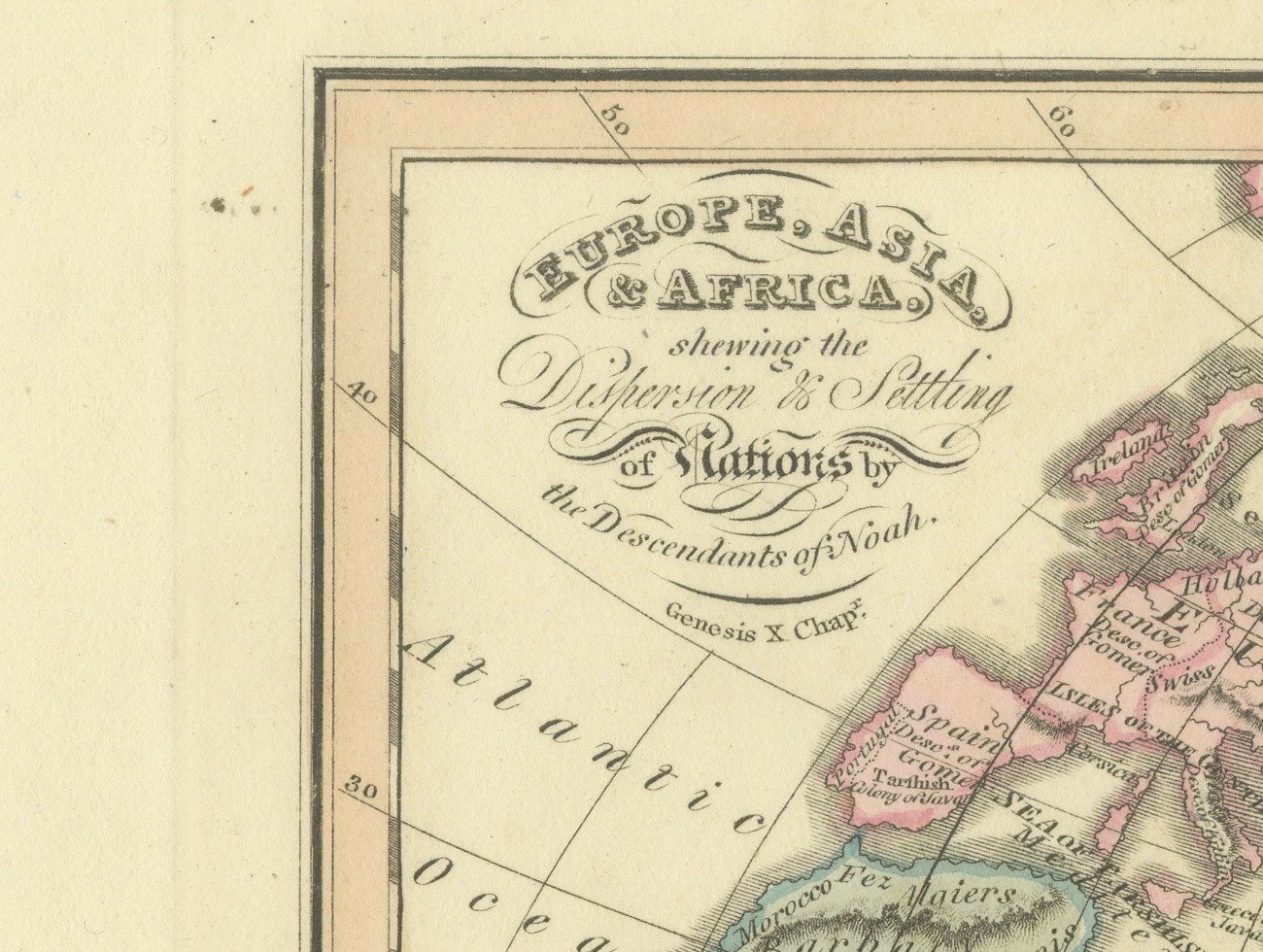
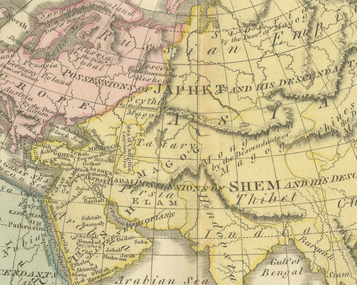
This is an original antique copper engraved map with original hand coloring, published in 1823 as plate I of James Wyld's Geographia Sacra, or Scripture Atlas. The title, engraved in open and script letters in the upper left corner, reads "EUROPE, ASIA, & AFRICA, shewing the Dispersion & Settling of Nations by the Descendants of Noah." Below it is the reference "Genesis X Chapr." (the r raised)
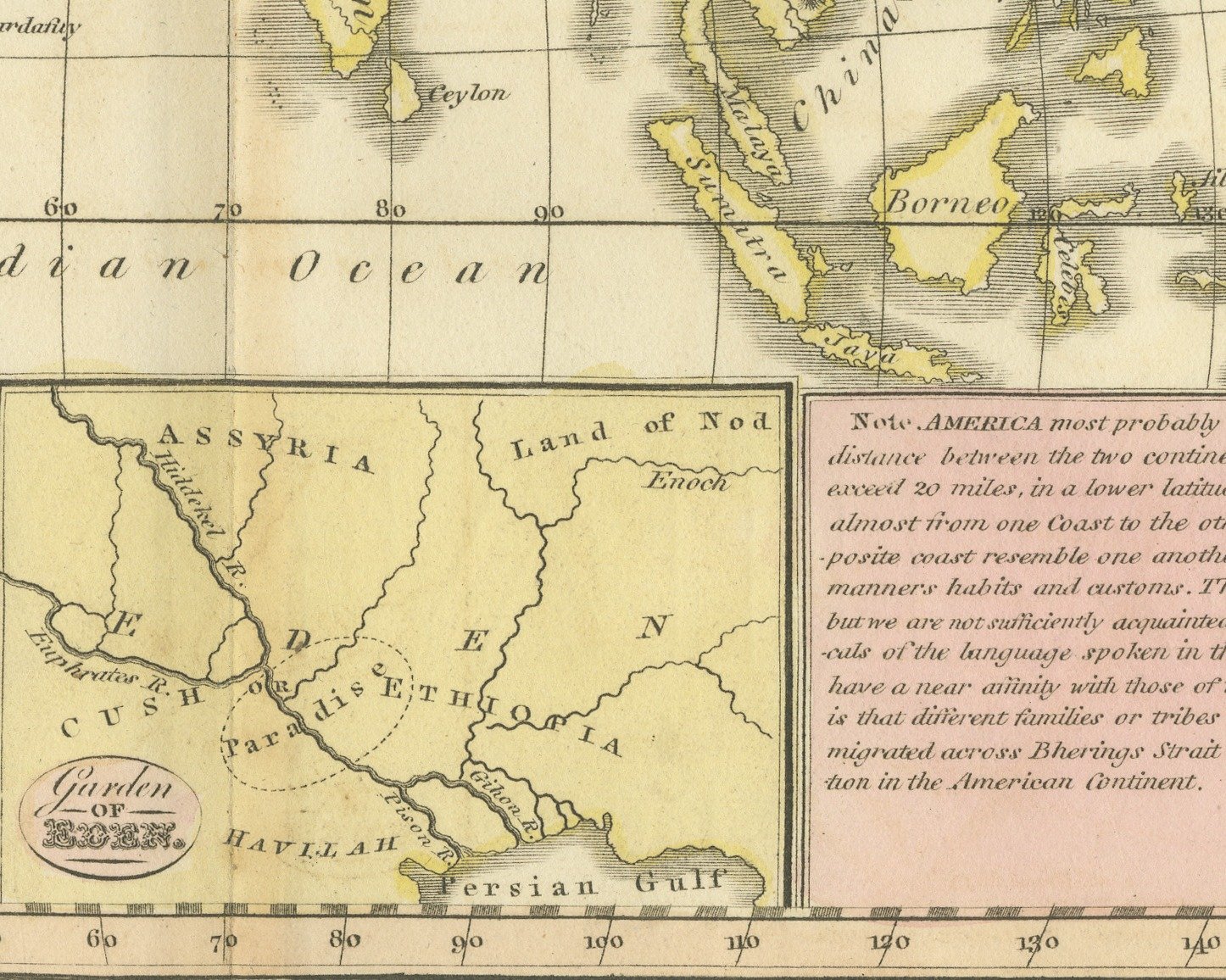
The map spans the Old World from the Atlantic to the Pacific on a curved graticule, with Europe washed in pink, Asia in yellow and Africa in pale green. Across the landmasses the possessions of Japhet, Shem and Ham and their descendants are lettered in open capitals, Japhet across northern Asia, Shem across southern Asia and Ham across Africa, with the older peoples and the modern countries named beneath them. The tip of America shows at the top right. An inset at the lower center is titled "Garden OF EDEN." in an oval label; it shows Assyria, Cush, Havilah, the Land of Nod with Enoch, and Paradise in a dotted circle among the rivers above the Persian Gulf. At the lower right a pink panel holds a long engraved note beginning "Note. AMERICA most probably was peopled from Siberia" and ending that wandering Tatars "probably migrated across Bherings Strait and gave a beginning to population in the American Continent."
Under the lower left corner of the border is the credit "J. Wyld del.", under the lower right corner "G. Neele Sculp.", and centered between them the imprint "London, Published by G & W. B. Whittaker, April 1823." The plate number "I." is engraved above the upper right corner of the border.
The map comes from Geographia Sacra, or Scripture Atlas, published in London in 1823 by G. and W. B. Whittaker, whose imprint runs along the lower margin. The engraved title page of the atlas names its author as Wyld "of the Quarter Master General's Office, Horse Guards". James Wyld the elder (1790 to 1836) was a London geographer and map publisher.
Light uneven toning, browner toward the edges. Handling soiling along all four edges. Foxing over much of the margin. All four corners are present. Several larger brown marks. Original center fold as issued.
This is an original antique map, not a modern reproduction. This item is sold unframed. Any framed or interior images are shown for presentation and inspiration only, unless the listing explicitly states that the item is sold framed.
Explore