Close-ups

Framed and on the wall


Frame and rooms are illustrations of how the print could look, drawn to its real size; it is sold unframed unless the description says otherwise.
The Holy Land
Antique Plan of the City of Babylon, Hand-Colored, Wyld, 1823
Anno Domini MDCCCXXIII1823
£230
$310 · €275
Original print, not a reproduction
Ships worldwide from the Netherlands, flat or rolled, insured and tracked. 14-day returns.
- Date
- 1823
- Technique
- Copper engraving
- Coloring
- Original hand color
- Condition
- Good. Even age toning. Handling soiling along the bottom, right and top edges. Slight wear at the top right corner.
- Faith
- Christianity, Judaism
- Collection
- The Holy Land
- Era
- 1800 to 1849, Travellers and the costume books
- Stock no.
- BG-14409-30
What the condition grades mean
- Excellent
- Bright and clean, with no faults worth mentioning.
- Very good
- Only light signs of age, such as faint toning.
- Good
- Normal signs of age for a sheet of this period: toning, some foxing, small marks or neat old repairs.
- Fair
- Clear faults such as staining, tears or repairs, priced to match.
Every fault we see is written in the condition note, and the whole sheet is shown uncropped in the photos.
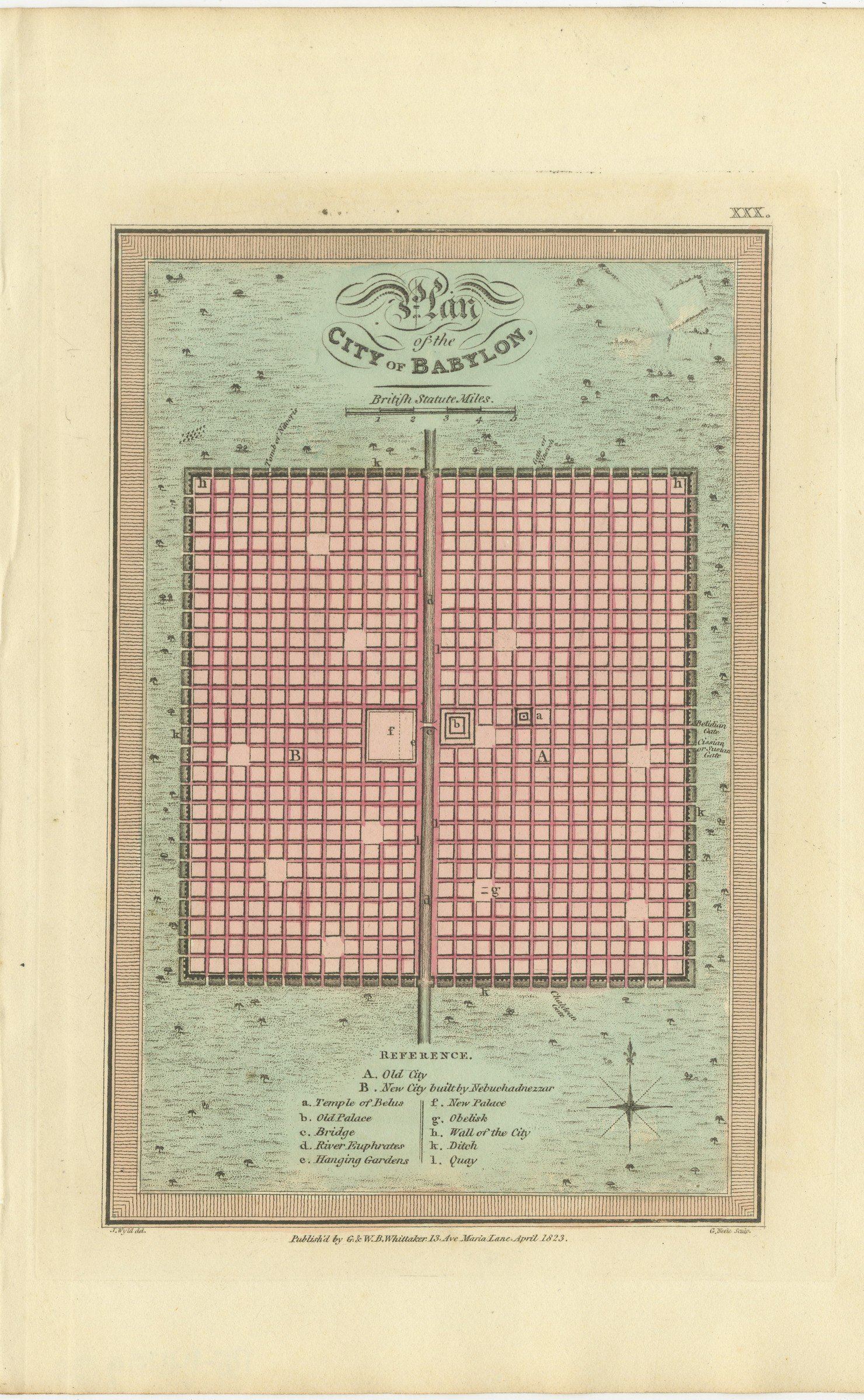
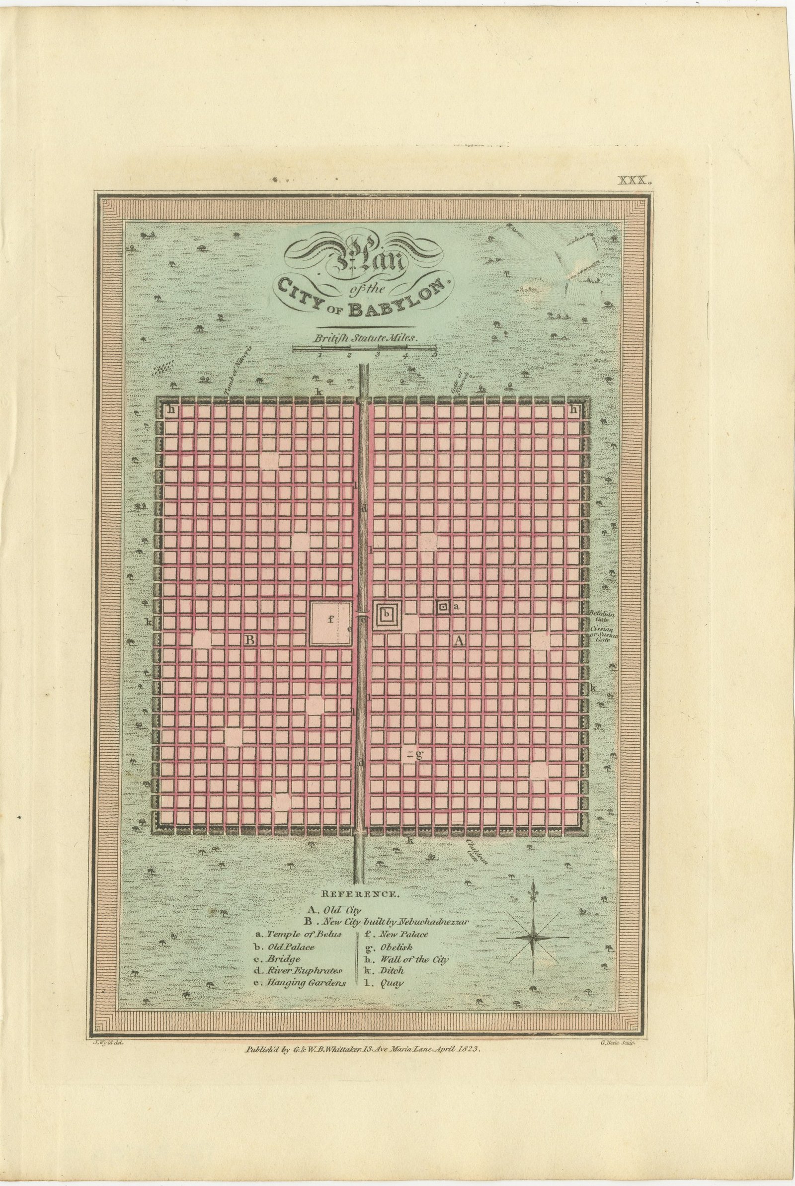
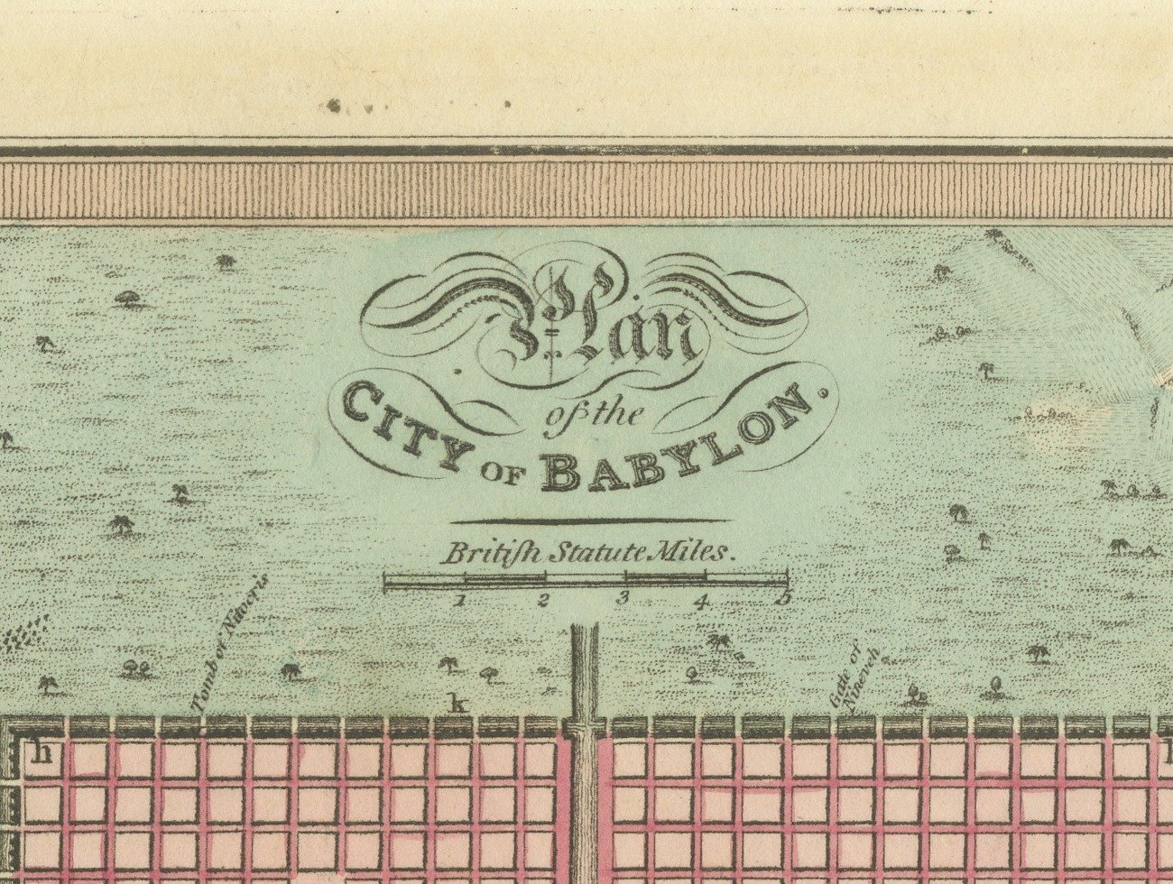
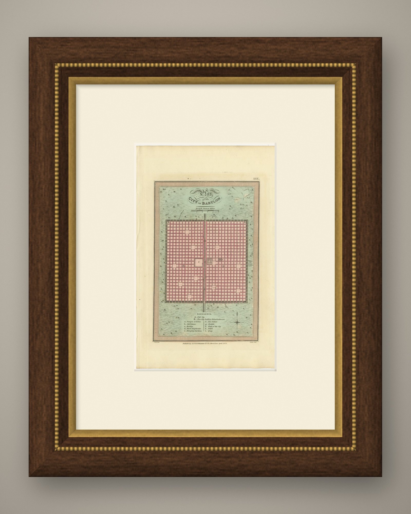
This is an original antique copper engraved map with original hand coloring, published in 1823 as plate XXX of James Wyld's Geographia Sacra, or Scripture Atlas. The engraved title reads "Plan of the CITY OF BABYLON." The title is engraved with calligraphic flourishes at the top of the plan, above a scale of British statute miles.
The city is drawn as a great square within a wall and ditch, its streets laid out in a regular grid washed in pink, and a river running straight through the middle from top to bottom. The country around the walls is washed in pale green and dotted with trees. Letters on the plan are keyed to the "REFERENCE" engraved below: A for the Old City and B for the New City built by Nebuchadnezzar, with the Temple of Belus, the old and new palaces, the bridge, the River Euphrates, the Hanging Gardens, an obelisk, the wall of the city, the ditch and the quay. A compass rose is engraved at the lower right.
Below the lower border the credit J. Wyld del. is engraved at the left and G. Neele Sculp. at the right, with the imprint between them: "Publish'd by G. & W. B. Whittaker. 13. Ave Maria Lane, April 1823." The plate number is engraved as XXX. in the upper right.
The atlas was published by G. and W. B. Whittaker in London, and its engraved title page names Wyld as "of the Quarter Master General's Office, Horse Guards". James Wyld the elder (1790 to 1836) was a London geographer and map publisher.
Even age toning. Handling soiling along the bottom, right and top edges. Slight wear at the top right corner.
This is an original antique map, not a modern reproduction. This item is sold unframed. Any framed or interior images are shown for presentation and inspiration only, unless the listing explicitly states that the item is sold framed.
Explore