Close-ups
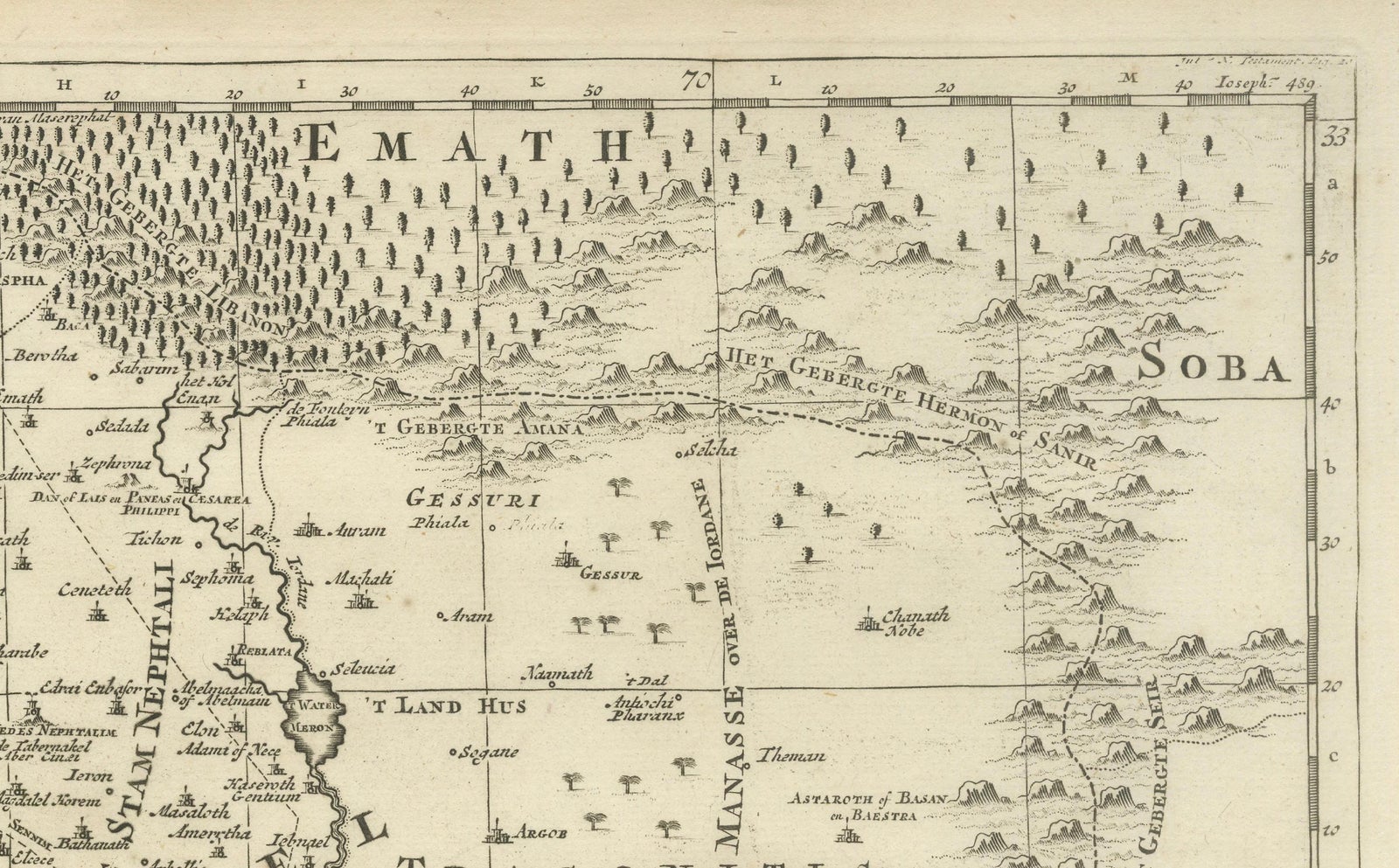
Framed and on the wall
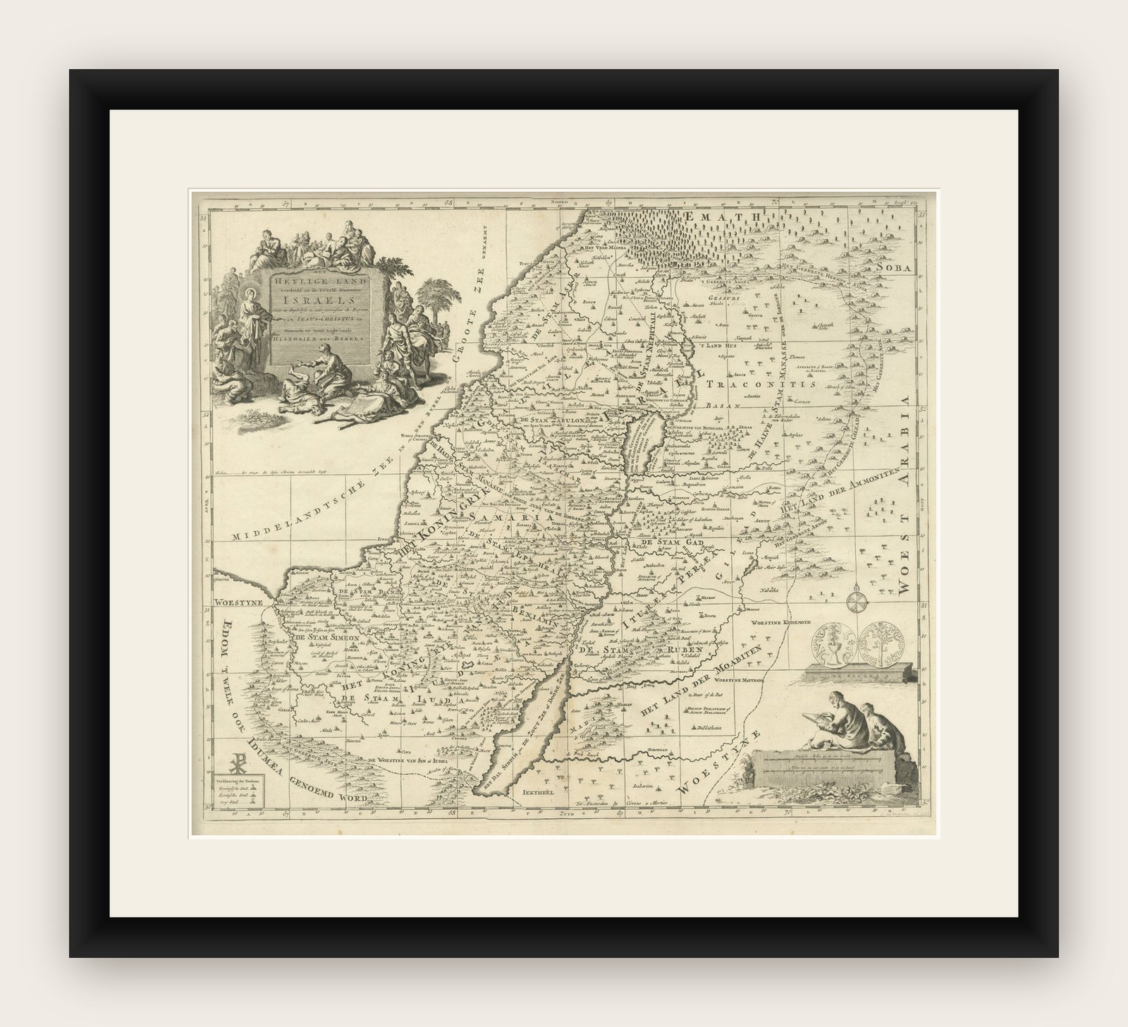
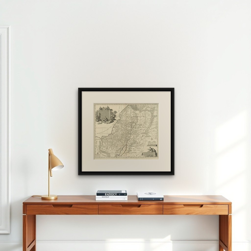


Frame and rooms are illustrations of how the print could look, drawn to its real size; it is sold unframed unless the description says otherwise.
The Holy Land
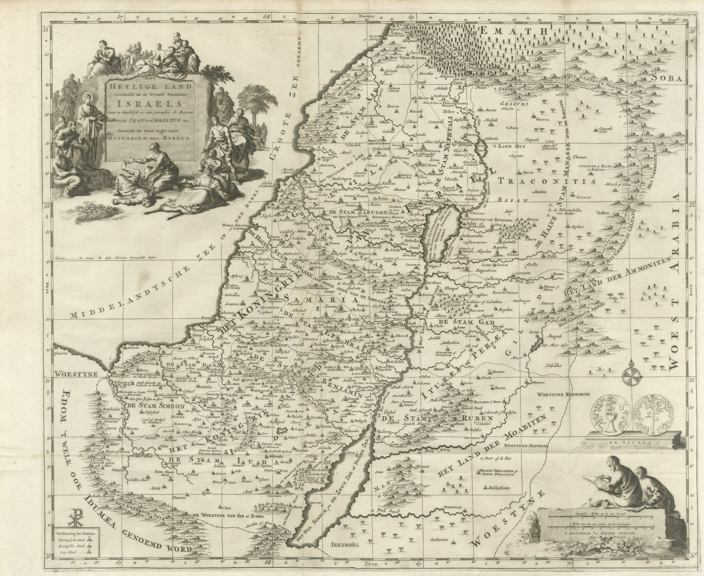
Antique Holy Land Map, Twelve Tribes of Israel, Covens & Mortier, c.1700
Anno Domini MDCC1700
£1,005£80520% off
$1,055 · €960
Original print, not a reproduction
Ships worldwide from the Netherlands, flat or rolled, insured and tracked. 14-day returns.
- Date
- 1700
- Sheet size
- 15.7 × 18.5 in (40 × 47 cm)
- Condition
- Good. Good overall condition with a strong, clear impression. Light age toning and minor surface wear consistent with age. Margins present.
- Faith
- Christianity, Judaism
- Collection
- The Holy Land
- Era
- 1700 to 1799, Mortier, Picart and the illustrated Bible
- Stock no.
- BG-14152-1
What the condition grades mean
- Excellent
- Bright and clean, with no faults worth mentioning.
- Very good
- Only light signs of age, such as faint toning.
- Good
- Normal signs of age for a sheet of this period: toning, some foxing, small marks or neat old repairs.
- Fair
- Clear faults such as staining, tears or repairs, priced to match.
Every fault we see is written in the condition note, and the whole sheet is shown uncropped in the photos.
Antique Holy Land Map, Twelve Tribes of Israel, Covens & Mortier, c.1700
Description:
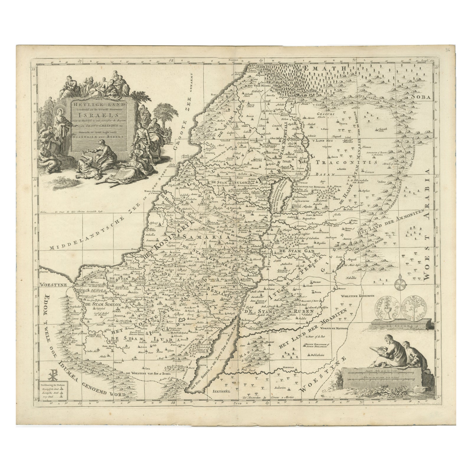
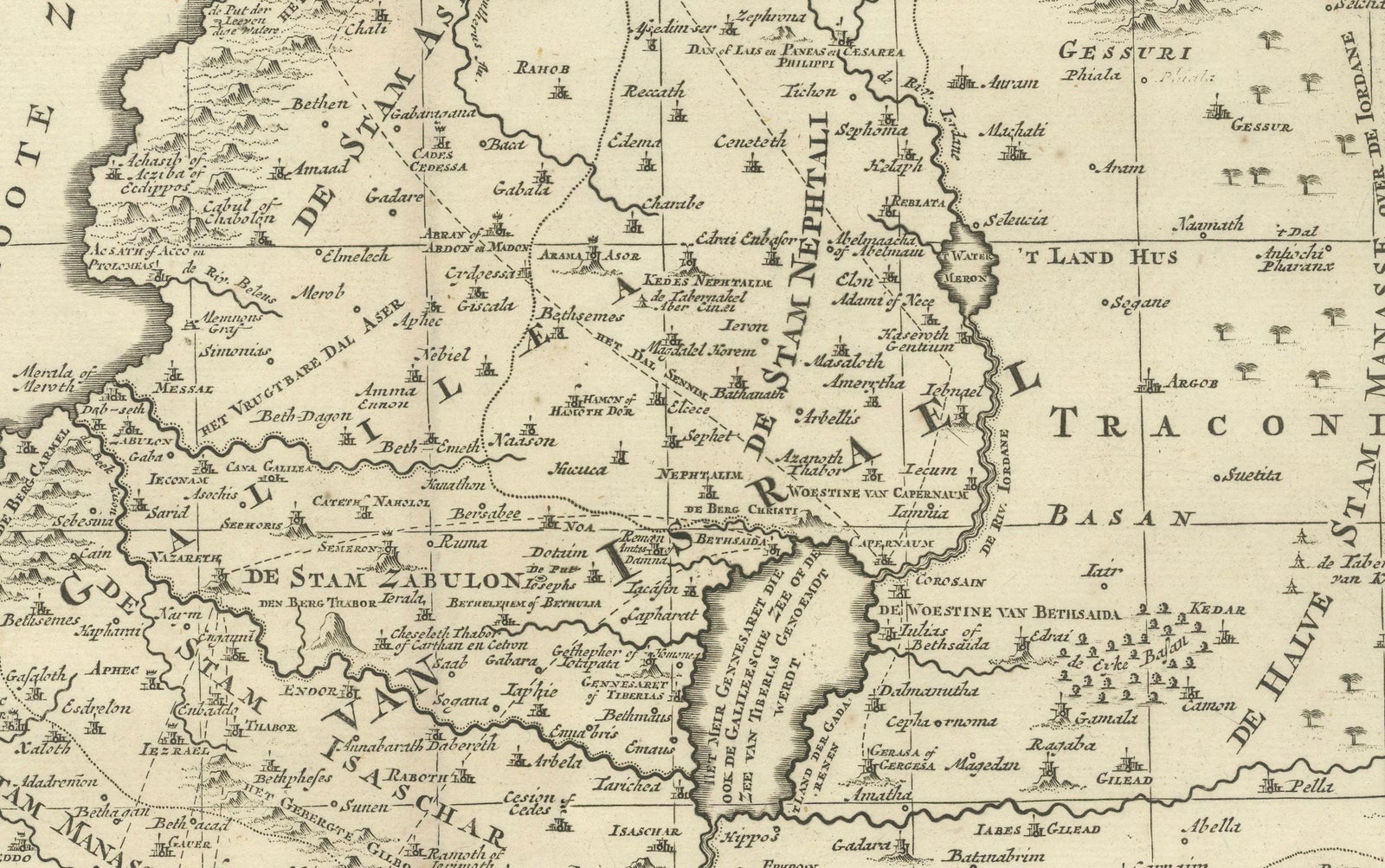
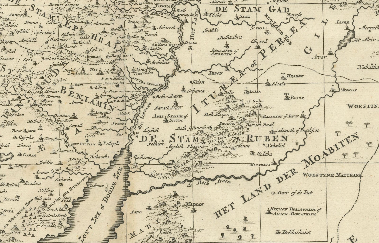
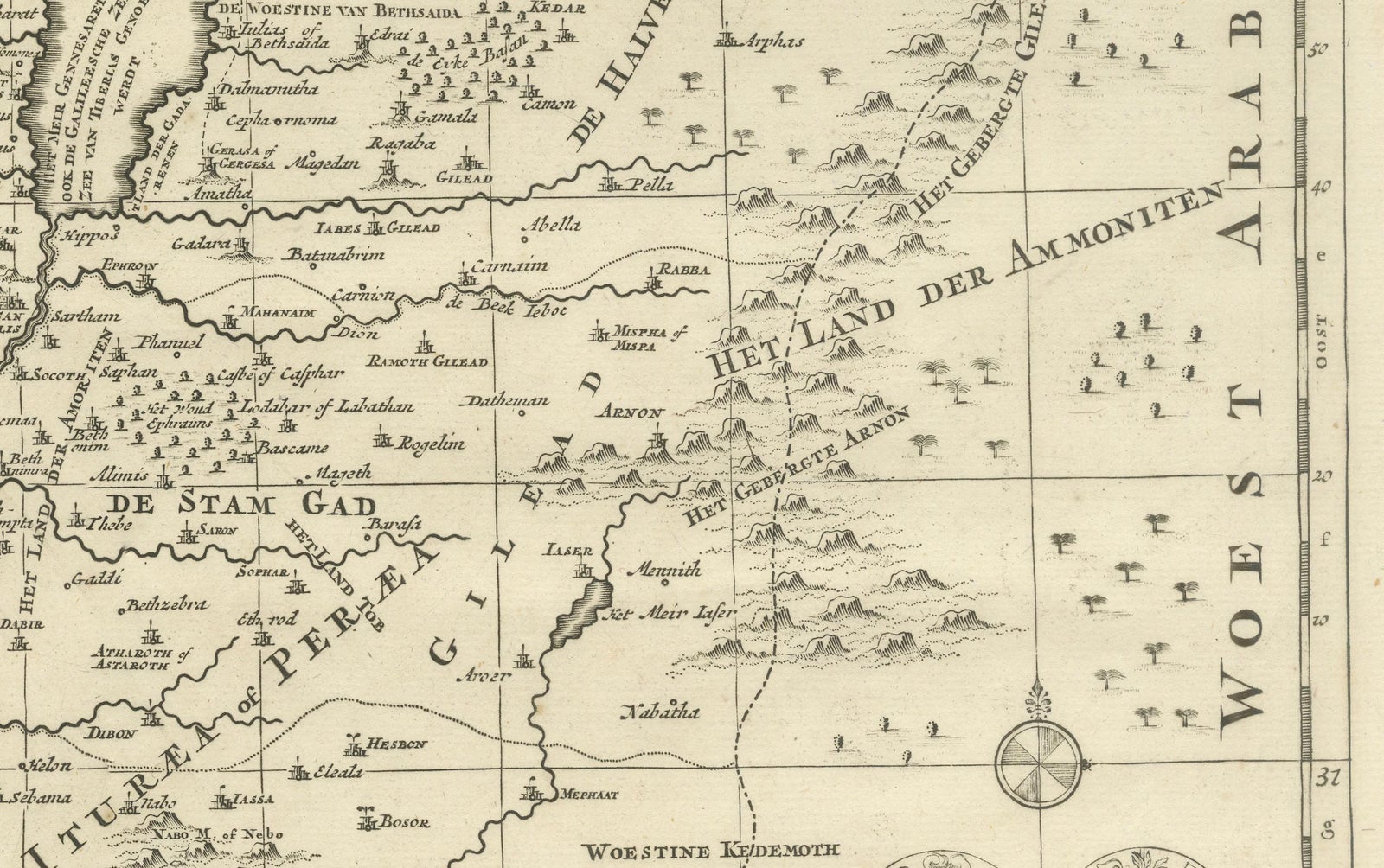
This finely engraved early 18th-century map depicts the Holy Land divided according to the Twelve Tribes of Israel. Titled Het Heylige Land verdeeld in de Twaalf Stammen Israëls, it presents biblical Palestine as understood through scripture and classical sources, rather than as a contemporary political geography. The map was published in Amsterdam around 1700 by the renowned firm Covens & Mortier and engraved by Johannes van Luchtenburgh.
The territories of the Twelve Tribes are clearly defined and densely labeled, covering Judaea, Samaria, Galilee, and Transjordan. Major biblical landmarks such as the Jordan River, the Dead Sea, and the Sea of Galilee structure the composition, while surrounding regions including Arabia, Phoenicia, and parts of Egypt provide geographical context. Mountains, rivers, settlements, and place names associated with Old Testament history are carefully engraved throughout, making the map both informative and visually rich.
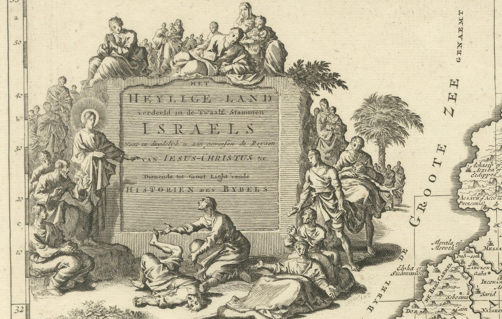
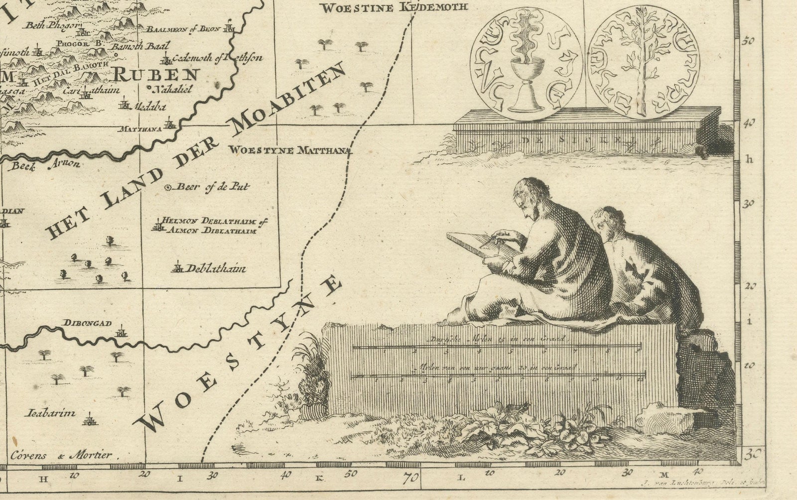
Decorative engraving enhances the map’s devotional and scholarly character. An elaborate allegorical cartouche at upper left shows biblical figures gathered around the Tablets of the Law, emphasizing the sacred foundation of the subject. At lower right, a seated scholar engaged in study reinforces the map’s role as a tool for biblical learning and interpretation. These elements reflect the strong Protestant interest in biblical geography in Northern Europe around 1700, when such maps were widely used for teaching, study, and display.
Produced to a high standard typical of Dutch mapmaking at the turn of the 18th century, this map balances detailed scholarship with restrained ornament. It was intended not for navigation, but for theological reference and visualizing scripture, and today it remains highly desirable among collectors of Holy Land maps, biblical cartography, and early Dutch engravings.
Condition report:
Good overall condition with a strong, clear impression. Light age toning and minor surface wear consistent with age. Margins present.
Framing tips:
This map frames beautifully in a classic black or dark walnut frame with an ivory or parchment-colored mat to emphasize the fine engraving. A slightly wider mat allows the decorative cartouches to breathe and enhances the map’s presence as a wall piece.
Technique: engraving
Maker: Johannes van Luchtenburgh, Netherlands (published by Covens & Mortier, Amsterdam, c.1700)