Close-ups
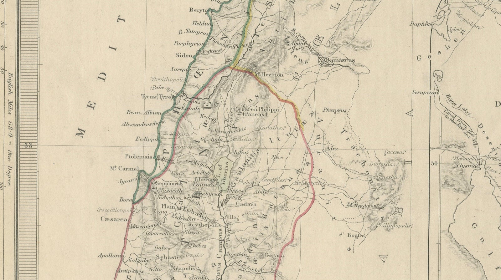
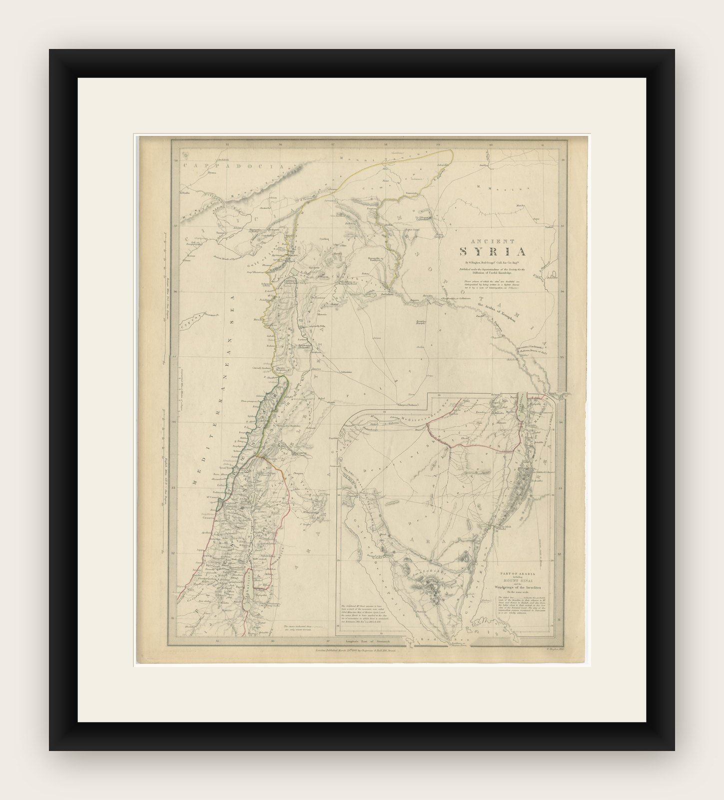
Framed and on the wall

Frame and rooms are illustrations of how the print could look, drawn to its real size; it is sold unframed unless the description says otherwise.
The Holy Land
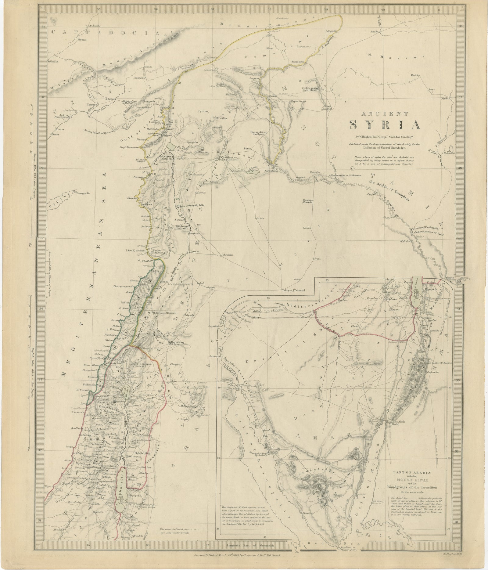
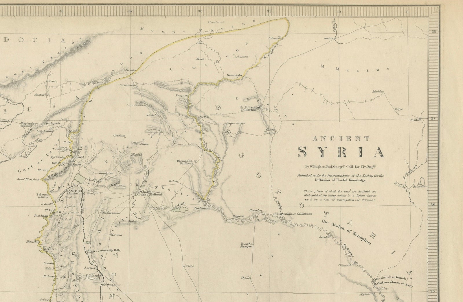
Ancient Syria Map Including Palestine, Jerusalem & Mount Sinai, 1843
Anno Domini MDCCCXLIII1843
£455
$605 · €535
Original print, not a reproduction
Ships worldwide from the Netherlands, flat, insured and tracked. 14-day returns. To buy, use Ask a question (info@antiquesacredprints.com) and we will reserve it for you.
- Date
- 1843
- Sheet size
- 16.1 × 13.6 in (41 × 34.5 cm)
- Condition
- Good. Good antique condition with age-related toning and occasional light foxing. Minor handling wear and faint discoloration consistent with age. Wide margins preserved. Please study image carefully.
- Faith
- Christianity, Judaism
- Collection
- The Holy Land
- Era
- 1800 to 1849, Travellers and the costume books
- Stock no.
- f_50002912
Ancient Syria Map Including Palestine, Jerusalem & Mount Sinai, 1843
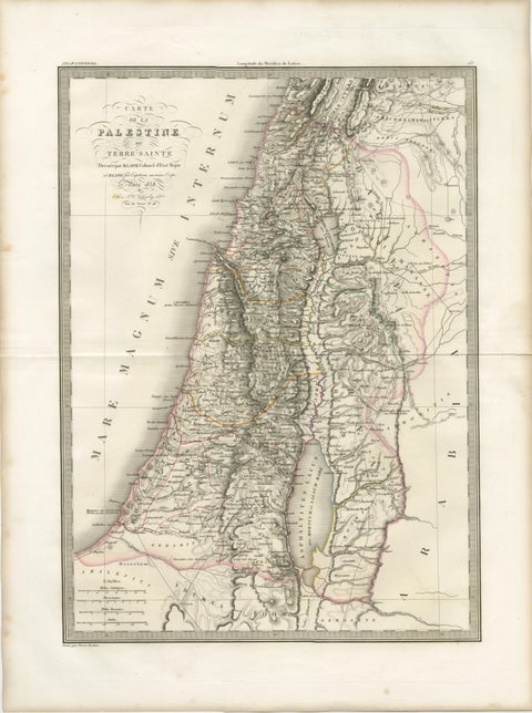
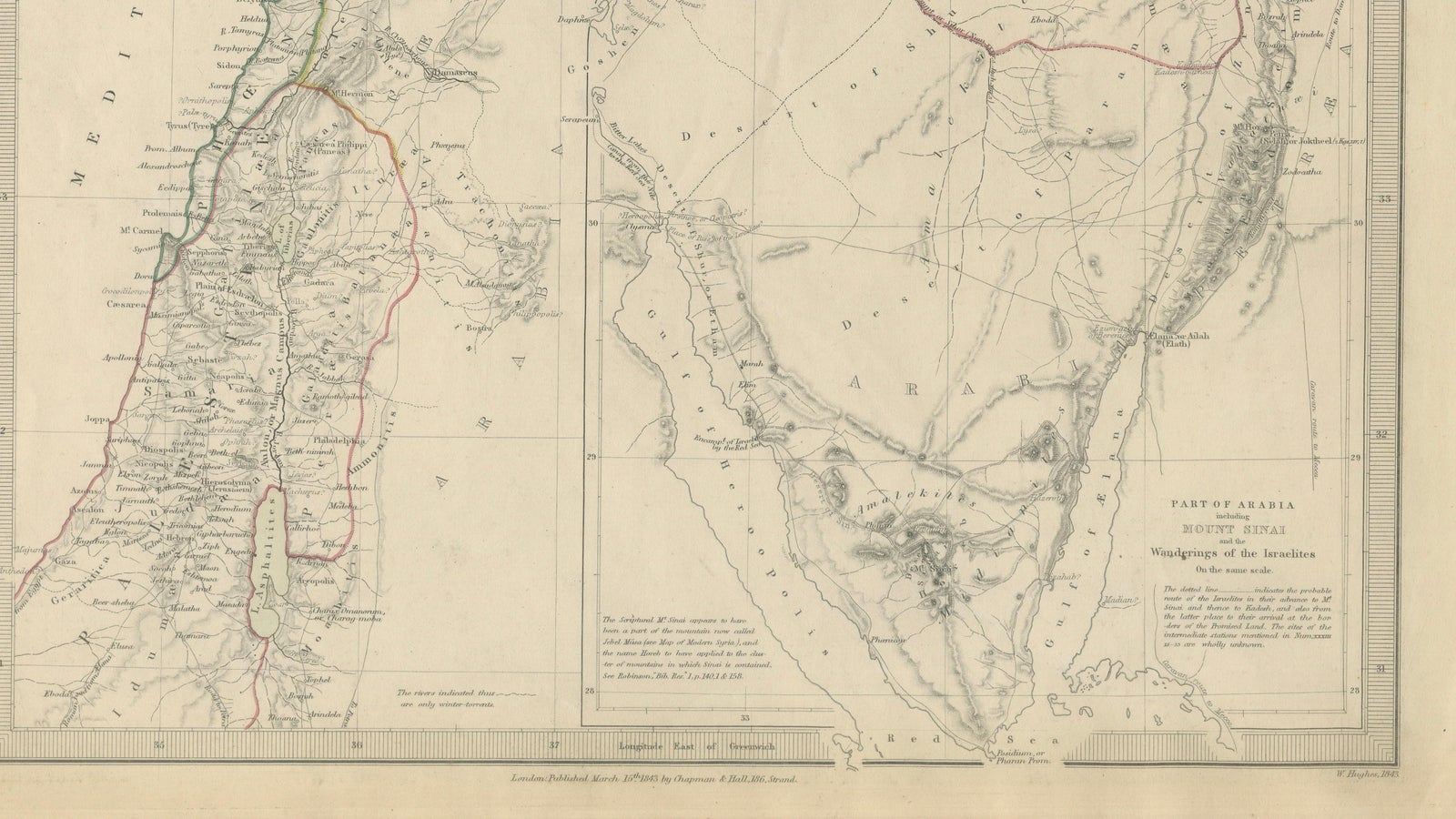
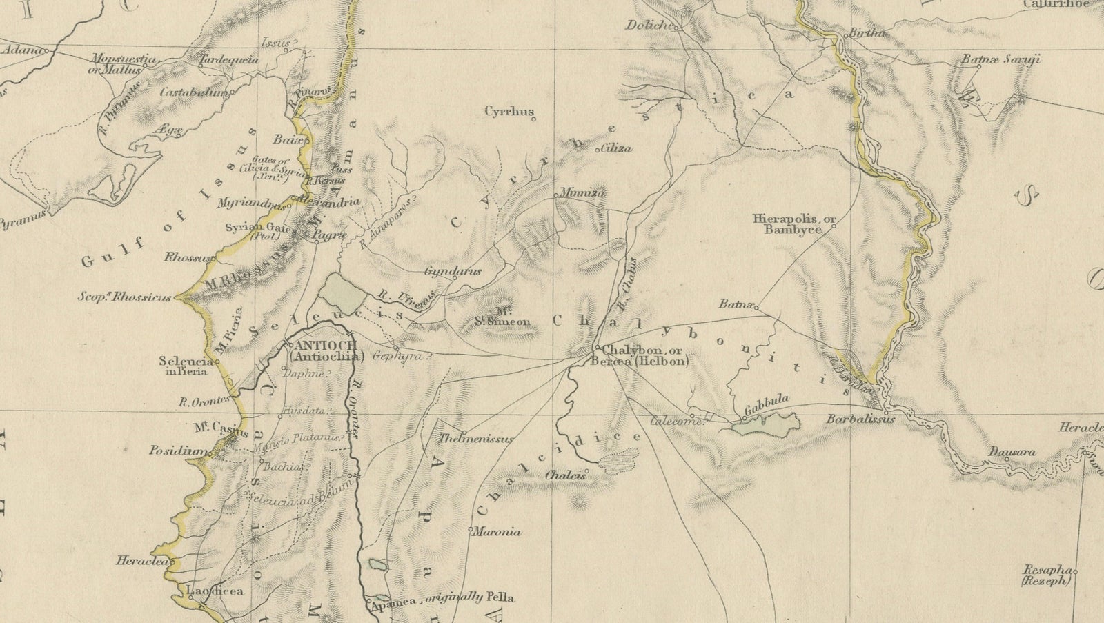
A highly detailed and historically evocative antique map titled “Ancient Syria,” published in London in 1843 under the supervision of the Society for the Diffusion of Useful Knowledge. This finely engraved map presents the geography of the ancient Levant, extending from Cappadocia and Antioch in the north through Phoenicia, Palestine, and Judea to the Sinai Peninsula and the northern reaches of Arabia.
The map was drawn by the classical scholar and historian Major Rennell and reflects the scholarly interest in biblical and classical geography that flourished during the early nineteenth century. Executed with exceptional delicacy, the engraving combines subtle topographical shading with sparse original outline hand coloring, creating an elegant academic aesthetic highly characteristic of the finest early SDUK productions.
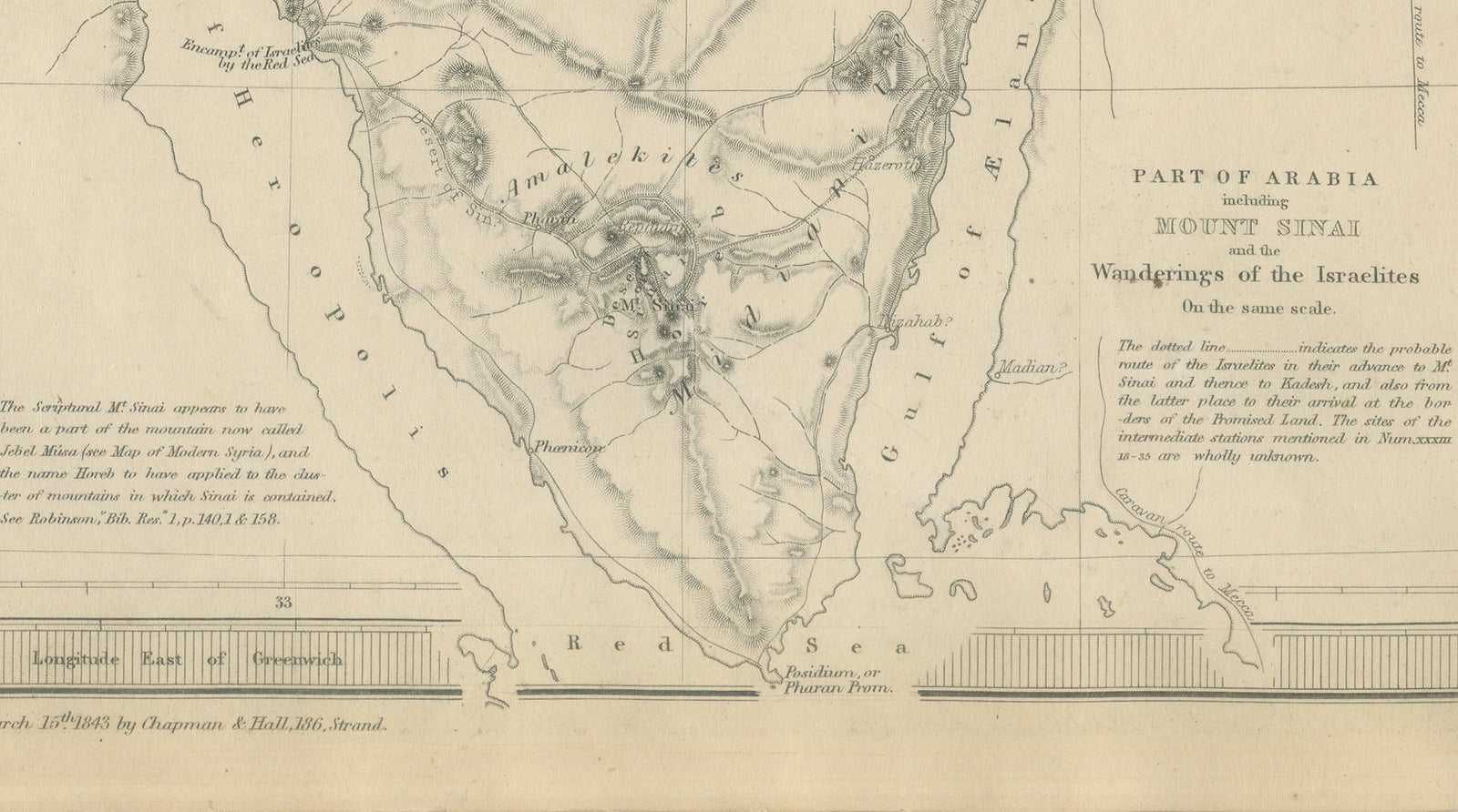
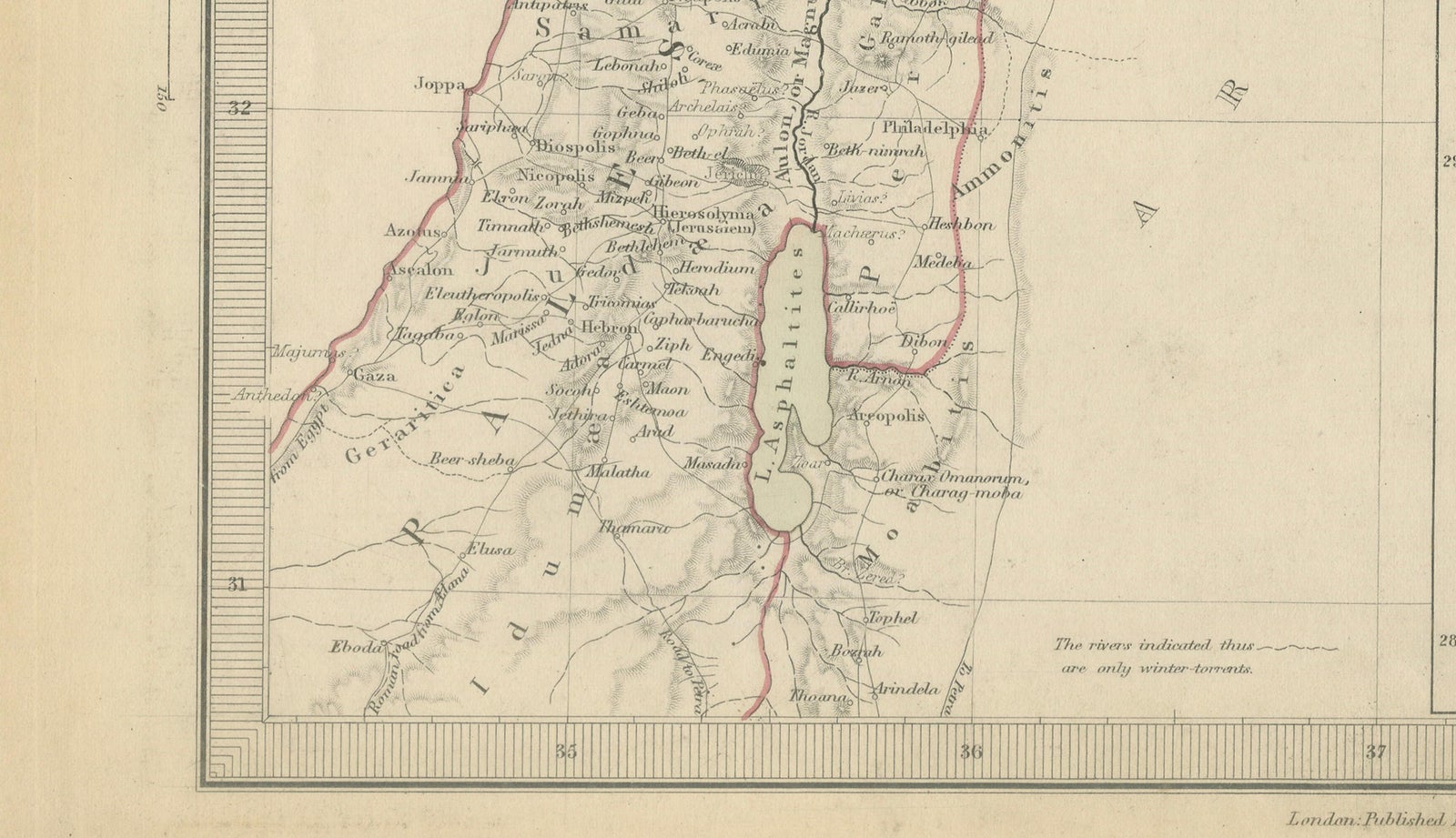
Particularly striking is the elongated depiction of the Holy Land and eastern Mediterranean coast, identifying important biblical and classical sites including Jerusalem, Bethlehem, Jericho, Nazareth, Hebron, Tyre, Sidon, Damascus, Antioch, and the Jordan River. The inset map at lower right focuses on Mount Sinai and the wanderings of the Israelites, greatly enhancing the historical and biblical significance of the sheet. Caravan routes, ancient territorial boundaries, rivers, mountain ranges, and desert regions are carefully engraved throughout.
The restrained visual style and expansive open spaces give the composition a refined decorative quality highly suited for framing. This map appeals strongly to collectors interested in biblical history, the Holy Land, early Middle Eastern cartography, classical antiquity, and nineteenth-century educational atlases. The combination of Palestine, Jerusalem, and Mount Sinai within one composition makes it especially desirable for both historical and decorative purposes.
This piece displays beautifully in a dark walnut, ebonized, or gilt frame with a wide ivory mat, particularly in studies, libraries, or interiors inspired by travel, archaeology, or Near Eastern history.
Condition: Good antique condition with age-related toning and occasional light foxing. Minor handling wear and faint discoloration consistent with age. Wide margins preserved. Please study image carefully.
Special note: This is an original antique engraving, not a reproduction. All items we offer are authentic period works of art over 100 years old. The piece is sold unframed; any framed images are shown for presentation and interior inspiration only and may not always be to scale.
Keywords: Ancient Syria map, Palestine map, Holy Land map, Jerusalem map, Mount Sinai map, biblical map, Judea, Phoenicia, Antioch, Damascus, Bethlehem, Nazareth, Jordan River, Dead Sea, Levant map, ancient Near East, biblical geography, SDUK map, Rennell map, classical antiquity, Holy Land cartography, Sinai Peninsula, antique Middle East map, Jerusalem antique map, 19th century engraving
Technique: Steel engraving with original outline hand color
Maker: Society for the Diffusion of Useful Knowledge, London, 1843