Close-ups
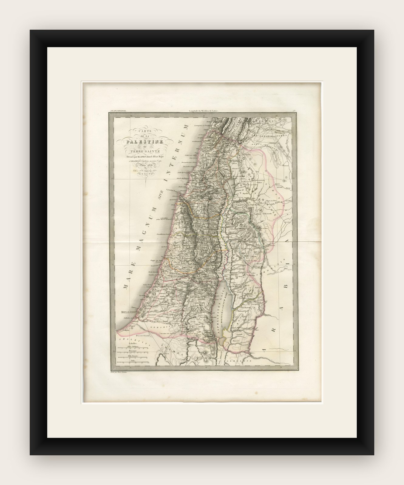
Framed and on the wall
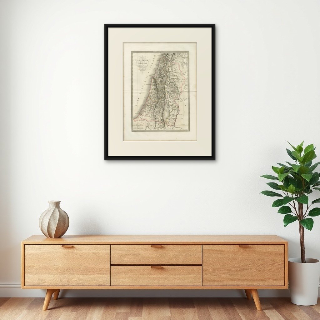

Frame and rooms are illustrations of how the print could look, drawn to its real size; it is sold unframed unless the description says otherwise.
The Holy Land
Antique Map of Palestine and the Holy Land, Lapie, Paris, 1838
Anno Domini MDCCCXXXVIII1838
$540
€479 · £405
Original print, not a reproduction
Ships worldwide from the Netherlands, flat, insured and tracked. 14-day returns. To buy, use Ask a question (info@antiquesacredprints.com) and we will reserve it for you.
- Date
- 1838
- Sheet size
- 26.5 × 19.9 in (67.2 × 50.6 cm)
- Condition
- Good. Very good condition overall. Light toning consistent with age and a central fold as issued. Margins are wide and clean. Minor spotting in places. No significant tears or restorations observed. Plate mark visible.
- Faith
- Christianity, Judaism
- Collection
- The Holy Land
- Era
- 1800 to 1849, Travellers and the costume books
- Stock no.
- f_49320912
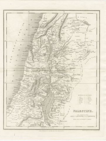
Antique Map of Palestine and the Holy Land, Lapie, Paris, 1838
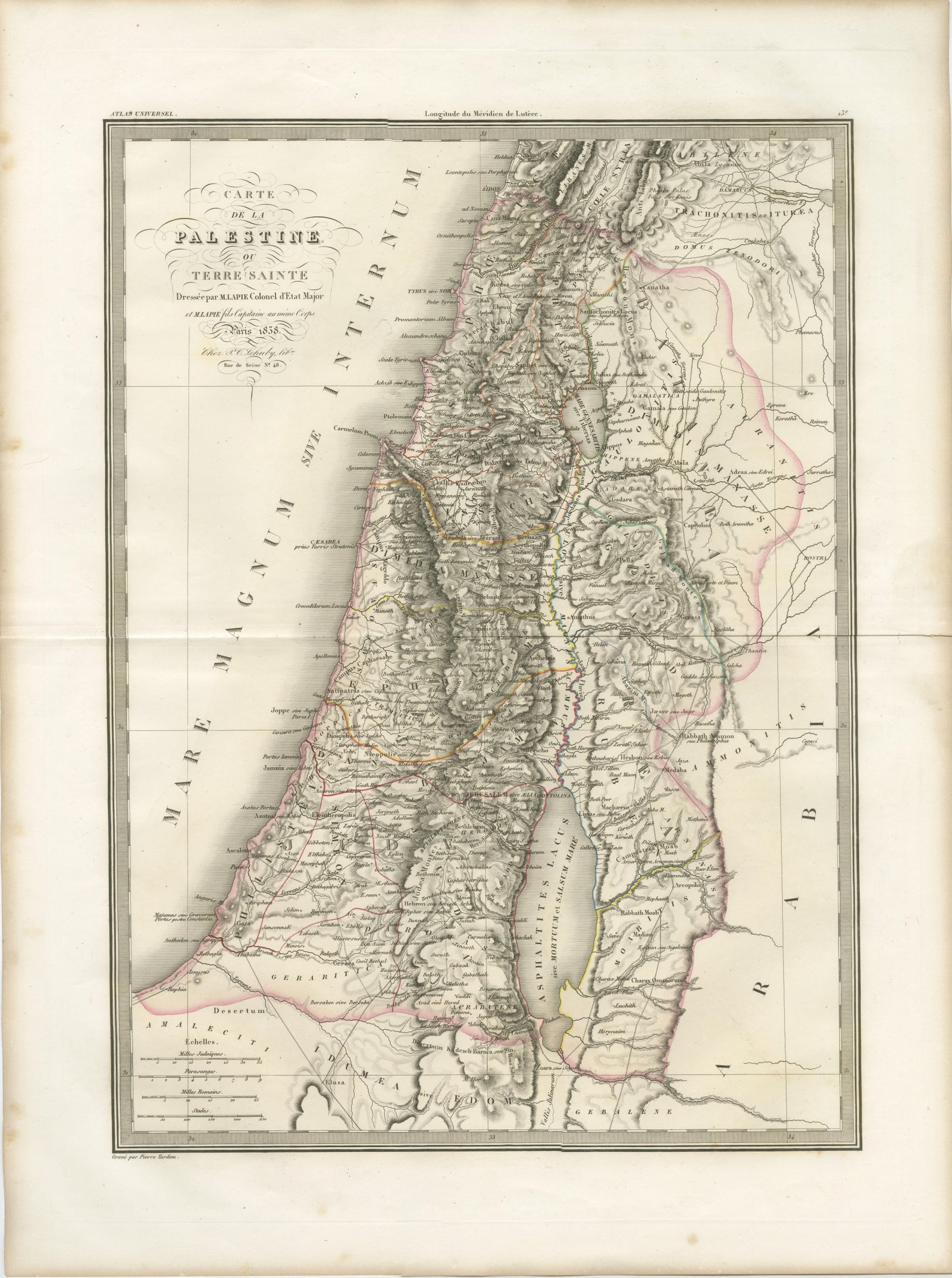
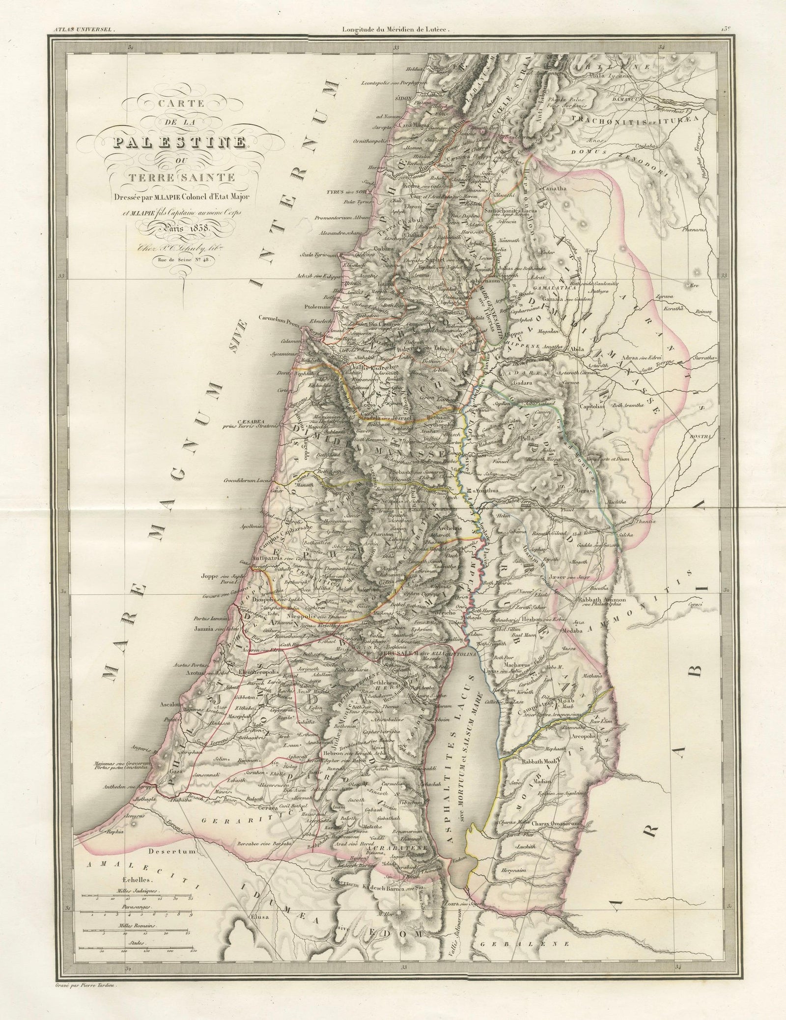
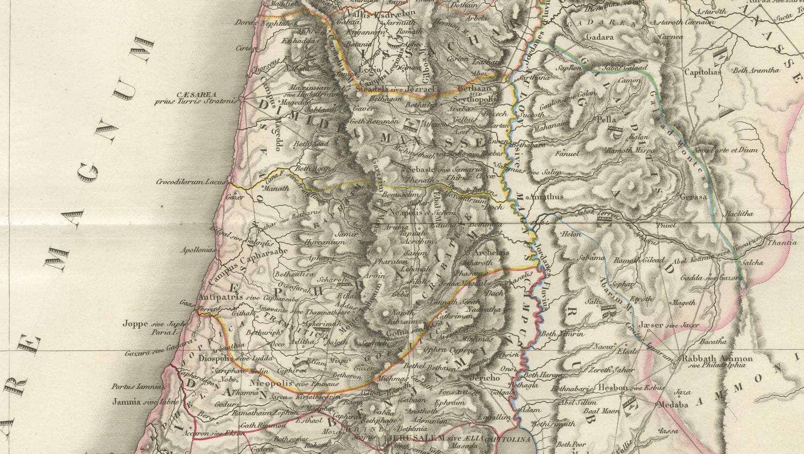
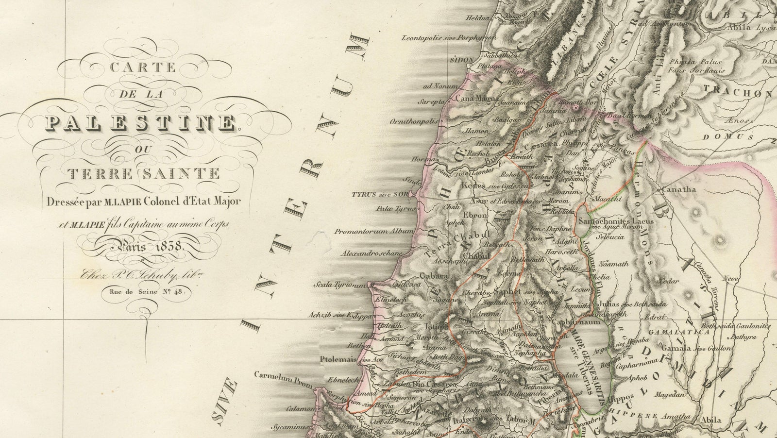
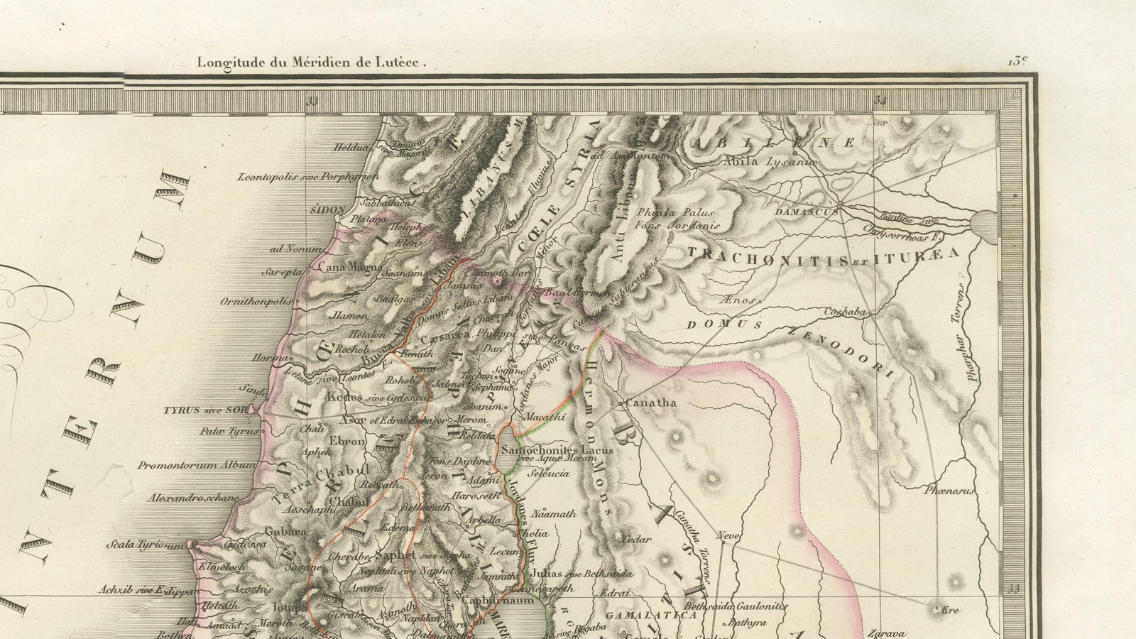
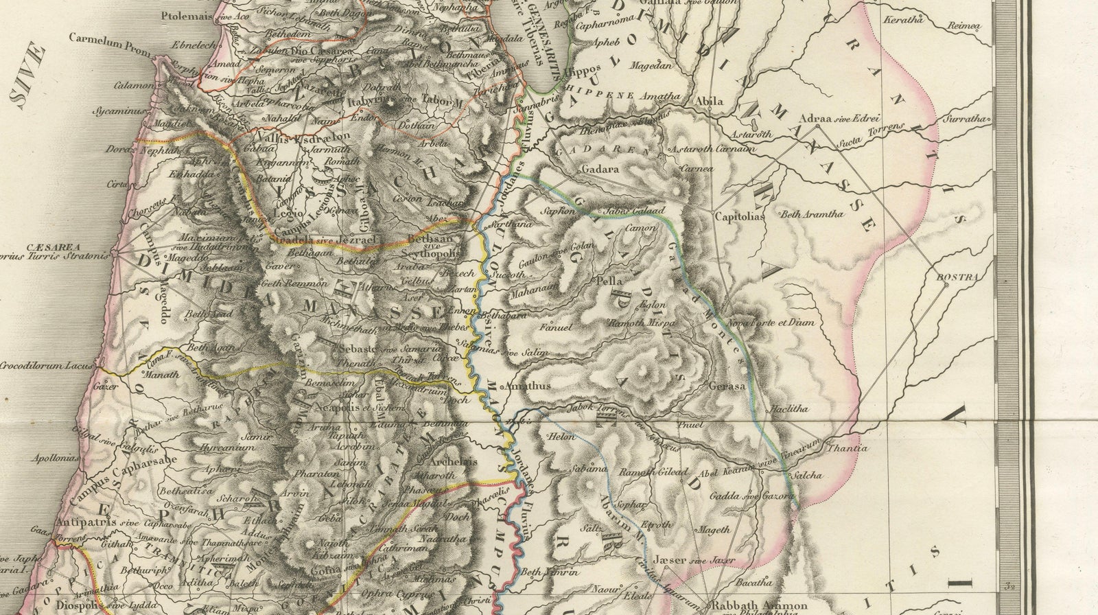
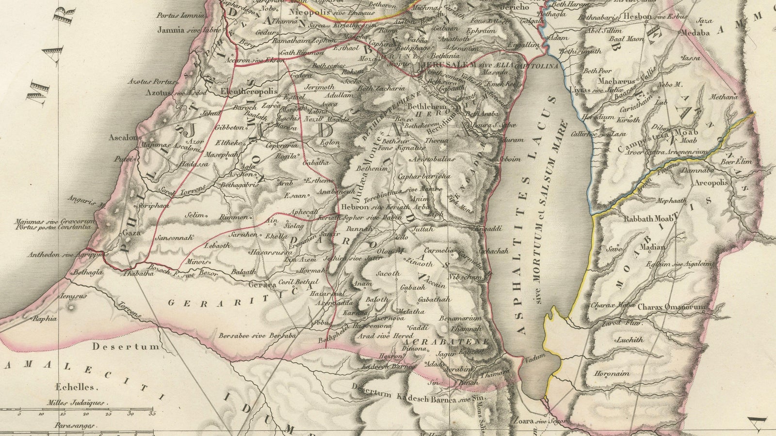
This elegant and finely engraved map of Palestine, titled Carte de la Palestine ou Terre Sainte, was published in Paris in 1838 as part of the celebrated Atlas Universel de Géographie Ancienne et Moderne by the distinguished French cartographer M. Lapie. It presents a detailed and scholarly depiction of the Holy Land, a region of profound historical, religious, and cultural significance.
The map encompasses the eastern Mediterranean coastline, extending inland across the varied topography of Palestine and surrounding regions. The Dead Sea (Lac Asphaltite) is prominently depicted, along with the Jordan River running north to south, anchoring the composition both geographically and visually. Major biblical and historical locations, such as Jerusalem, Jericho, Bethlehem, Nazareth, and Hebron, are carefully marked, reflecting the strong 19th-century European interest in biblical geography and pilgrimage landscapes.
Lapie’s cartographic approach balances clarity with refinement. Mountain ranges are rendered with delicate hachuring, conveying the rugged terrain of the region, while subtle hand coloring distinguishes administrative or historical divisions without overwhelming the composition. The Mediterranean Sea (Mare Internum) frames the western edge, adding visual balance to the vertically oriented sheet.
The engraving was executed by Pierre Antoine Tardieu, a member of the renowned Tardieu family of French engravers, known for their precision and contribution to scientific and cartographic works. His refined linework ensures exceptional readability and lends the map an understated elegance characteristic of high-quality French atlas production of the period.
This map functions both as a scholarly representation of biblical lands and as a refined decorative piece. Its vertical format makes it particularly suitable for display in narrower wall spaces, such as between windows or within a gallery arrangement. It would appeal to collectors of historical cartography, as well as those with an interest in religious history and the geography of the ancient Near East.
Condition: Very good condition overall. Light toning consistent with age and a central fold as issued. Margins are wide and clean. Minor spotting in places. No significant tears or restorations observed. Plate mark visible.
Framing tips: This piece would display beautifully in a dark walnut or ebonized frame with a wide ivory or off-white mat, enhancing its classical and historical character. For a more contemporary look, a slim black frame with a floating mount can create a clean and sophisticated presentation.
Technique: Engraving with original hand coloring
Maker: M. Lapie, engraved by Pierre Antoine Tardieu, Paris, 1838
Keywords: Palestine, Holy Land, Terre Sainte, Jerusalem, Dead Sea, Jordan River, Bethlehem, Nazareth, Hebron, Jericho, biblical geography, Near East, Middle East, Levant, Mediterranean Sea, Mare Internum, ancient geography, religious maps, historical cartography, 19th century map, French cartography, Atlas Universel, Lapie map, Tardieu engraving, antique map Palestine, antique Holy Land map, decorative biblical map, engraved map France, hand-colored engraving, antique geography print
Explore