Chapel I of V
The Holy Land
Maps of Canaan, Palestine and the Twelve Tribes, and plans and views of Jerusalem, from Bünting's woodcut of about 1581 to Blaeu, Jansson, Sanson, De Wit, Homann and the Bible atlases of the 18th and 19th centuries. The strongest part of the collection and the one most collectors start with.
61 prints
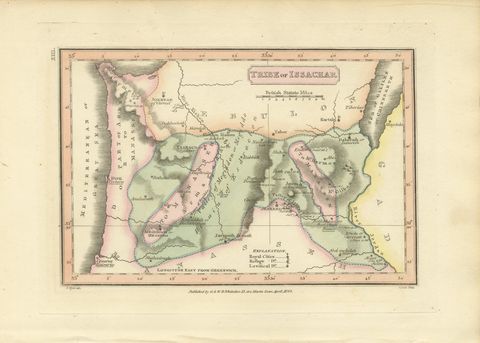
The Holy Land · MDCCCXXIII
Antique Hand-Colored Map of the Tribe of Issachar, Wyld, 1823
1823 · 26 × 17 cm£205£15525% off
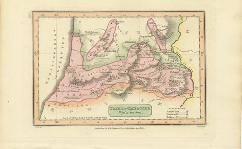
The Holy Land · MDCCCXXIII
Tribe of Manasseh West of Jordan, Antique Wyld Map, 1823
1823 · 26 × 17 cm£205£15525% off
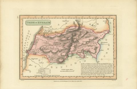
The Holy Land · MDCCCXXIII
Antique Scripture Map of the Tribe of Ephraim, Hand-Colored, 1823
1823 · 26 × 17 cm£205£15525% off
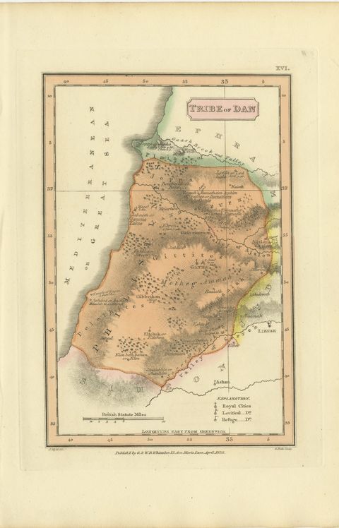
The Holy Land · MDCCCXXIII
Hand-Colored Antique Map of the Tribe of Dan, James Wyld, 1823
1823 · 17 × 26 cm£205£15525% off
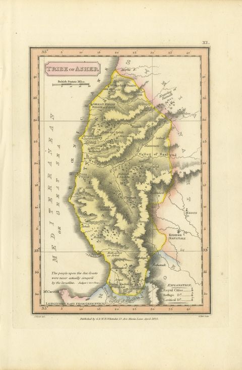
The Holy Land · MDCCCXXIII
Hand-Colored Antique Map of the Tribe of Asher, Wyld, 1823
1823 · 17 × 26 cm£200£14030% off
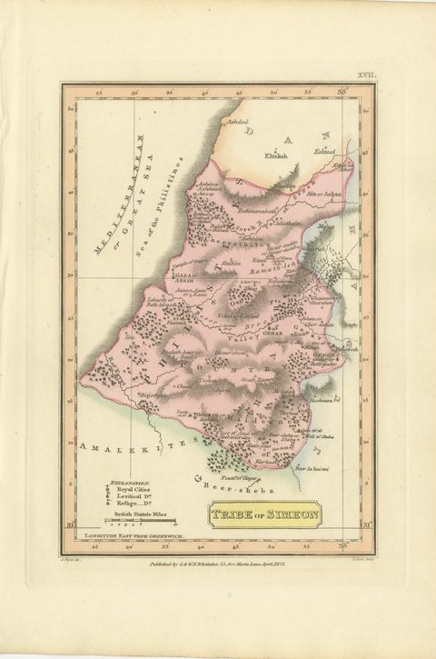
The Holy Land · MDCCCXXIII
Antique Map of the Tribe of Simeon and the South Country, Wyld, 1823
1823 · 17 × 26 cm£195£13530% off
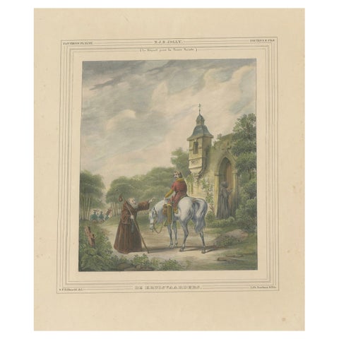
The Holy Land · MDCCCXXXV
1835 Hand-Colored Lithograph: The Crusaders’ Departure for the Holy Land
1835 · 32 × 43.5 cm£185£13030% off
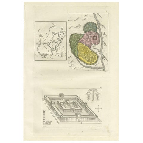
The Holy Land · MDCCCXXXI
Antique Print with Plans of Jerusalem by Ferrario, '1831'
1831 · 23.5 × 34.5 cm£165£11530% off
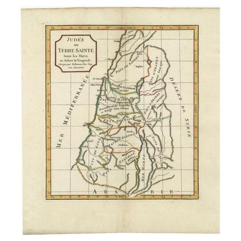
The Holy Land · MDCCCVI
Antique Map of the Holy Land by Delamarche, 1806
1806 · 27.5 × 31.2 cm£150£10530% off
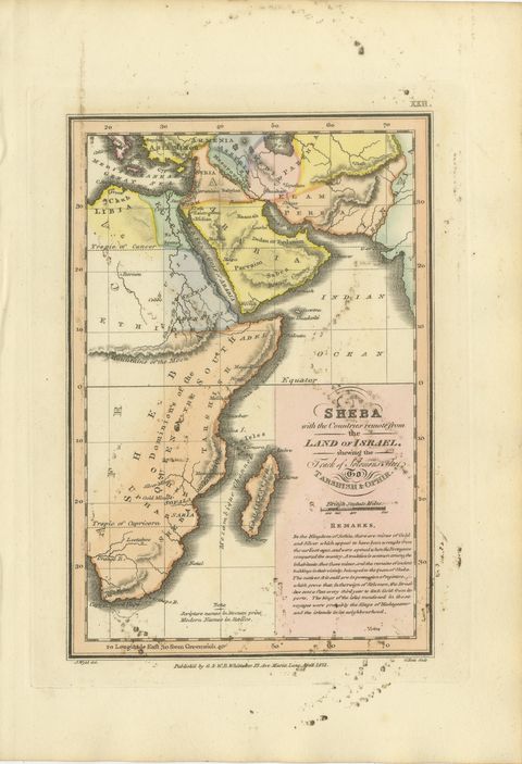
The Holy Land · MDCCCXXIII
Sheba and the Voyage to Tarshish and Ophir, Antique Map, 1823
1823 · 17 × 26 cm£140£10030% off
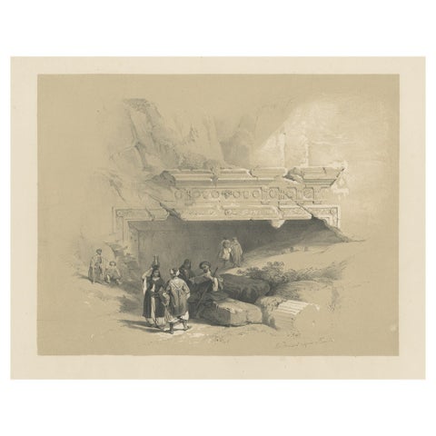
The Holy Land · MDCCCXLV
Old Print of the Tombs of the Kings, Jerusalem, ca.1845
1845 · 35.5 × 30.5 cm£100
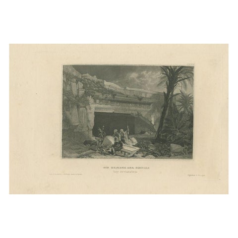
The Holy Land · MDCCCXXXVI
Antique Print of the Tomb of the Kings in Jerusalem, 1836
1836 · 25.5 × 16 cm£90
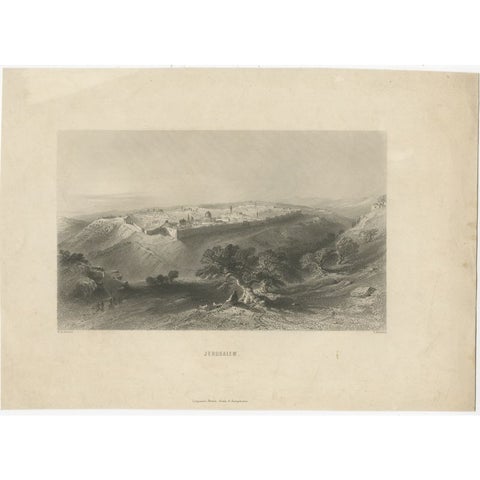
The Holy Land · MDCCCXL
Antique Print of Jerusalem, c.1840
1840 · 26.5 × 19 cm£75