Close-ups
Framed and on the wall


Frame and rooms are illustrations of how the print could look, drawn to its real size; it is sold unframed unless the description says otherwise.
The Holy Land
Palestine: Tribes & Maccabees, Antique Map by Migeon, Paris, 1892
Anno Domini MDCCCXCII1892
€340
$385 · £290
Original print, not a reproduction
Ships worldwide from the Netherlands, flat, insured and tracked. 14-day returns. To buy, use Ask a question (info@antiquesacredprints.com) and we will reserve it for you.
- Date
- 1892
- Sheet size
- 15.5 × 20.5 in (39.4 × 52.1 cm)
- Condition
- Good. Excellent condition. Soft original hand-coloring with no major flaws. Slight age toning to the edges but no tears or repairs. Plate border and captions clean and sharp.
- Faith
- Christianity, Judaism
- Collection
- The Holy Land
- Era
- 1850 and after, Chromolithographs and devotional prints
- Stock no.
- f_35996792
Palestine Divided into Tribes & Under the Maccabees, Antique Map by Migeon, 1892
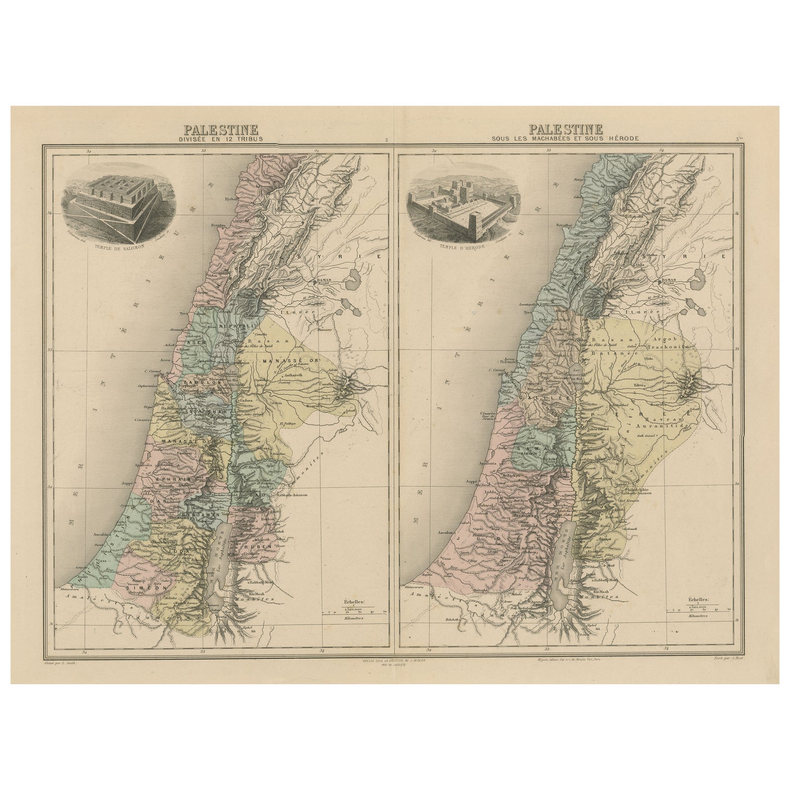
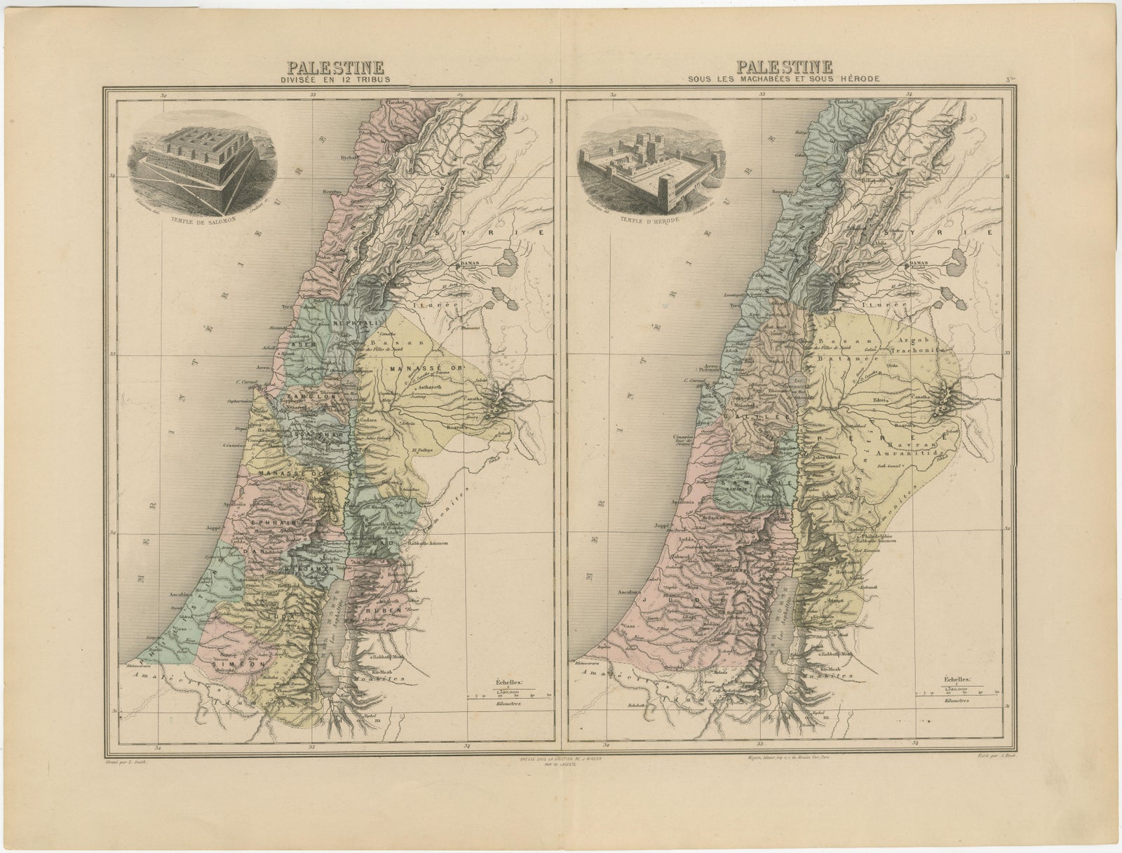
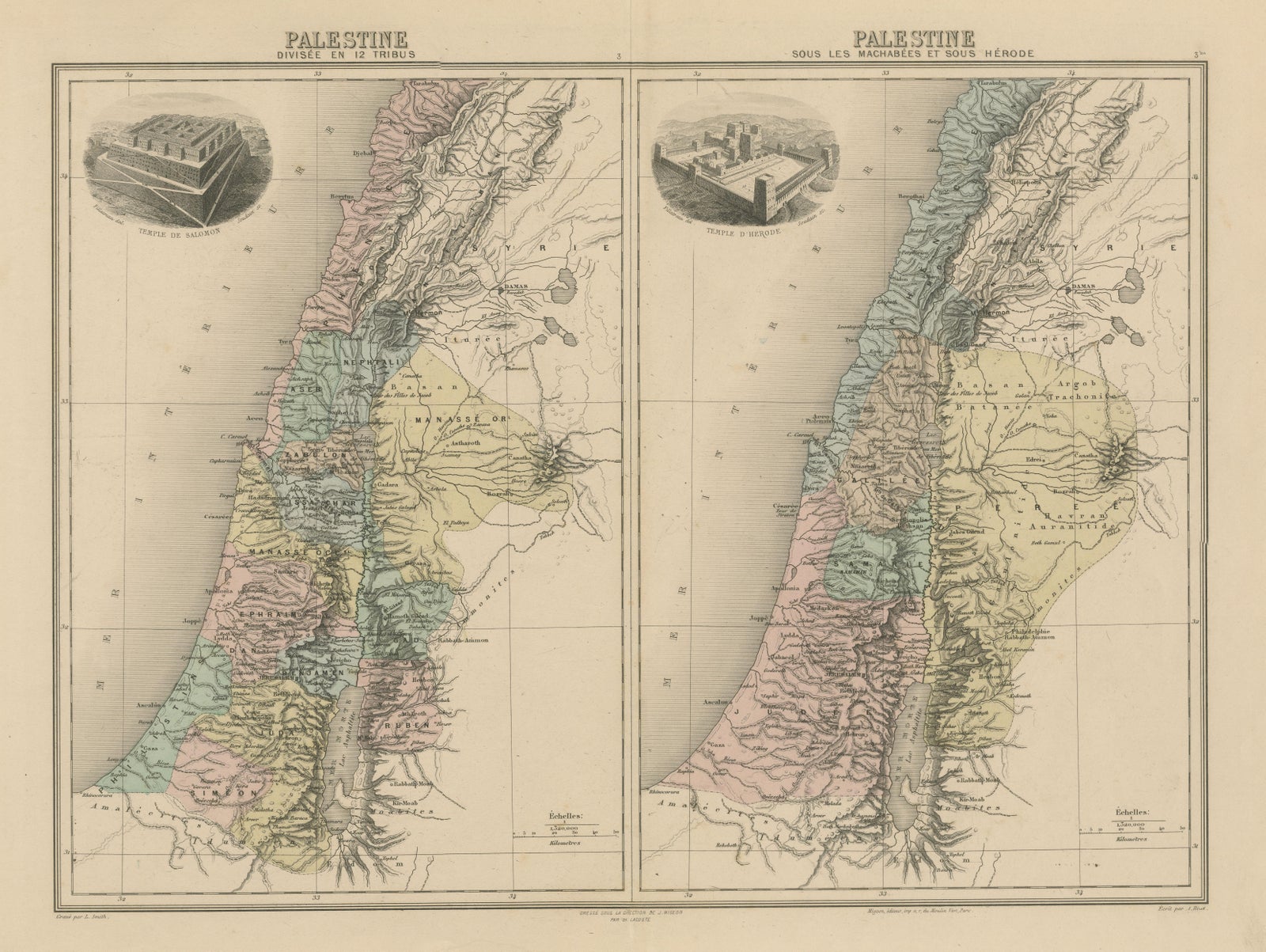
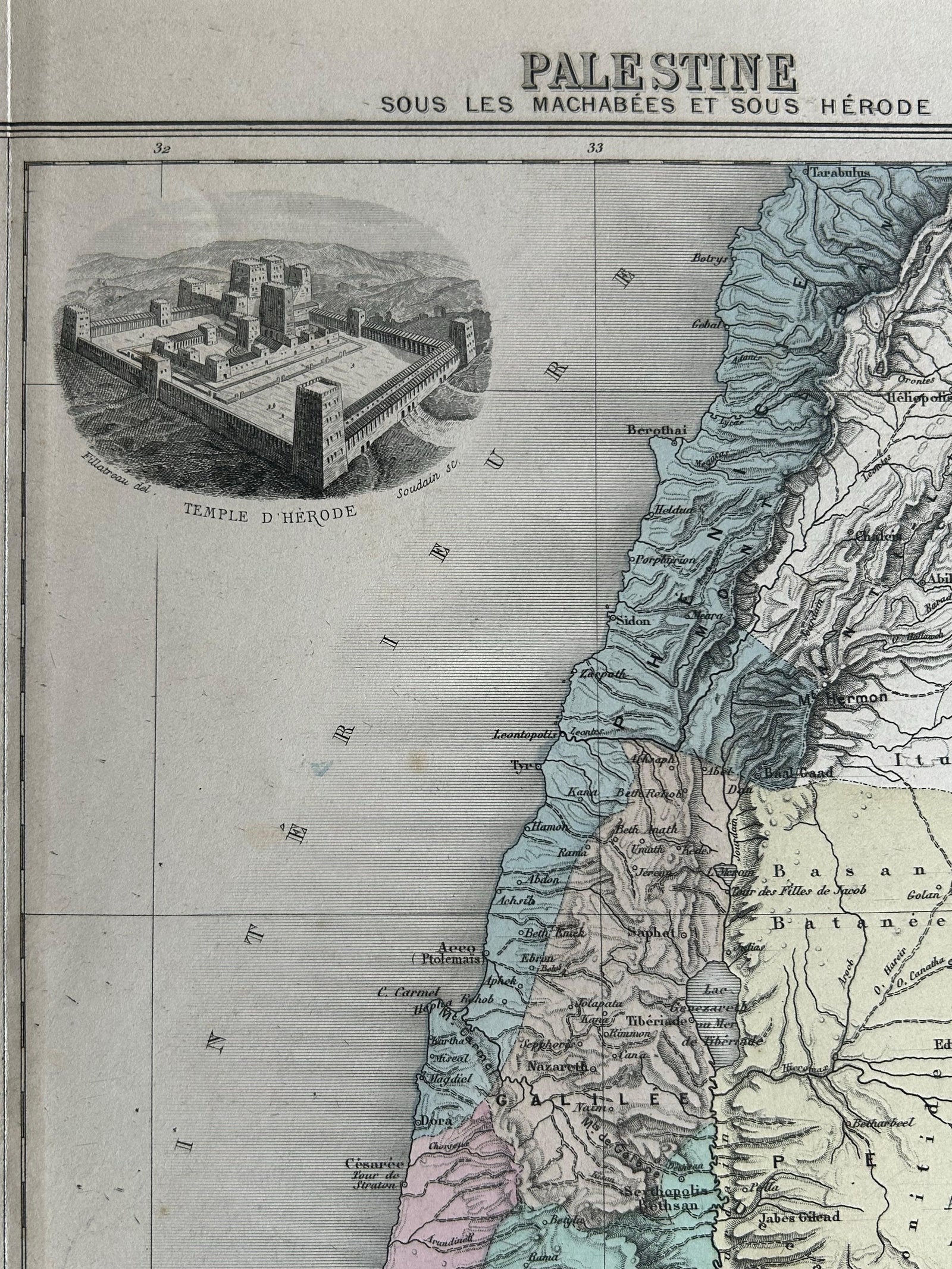
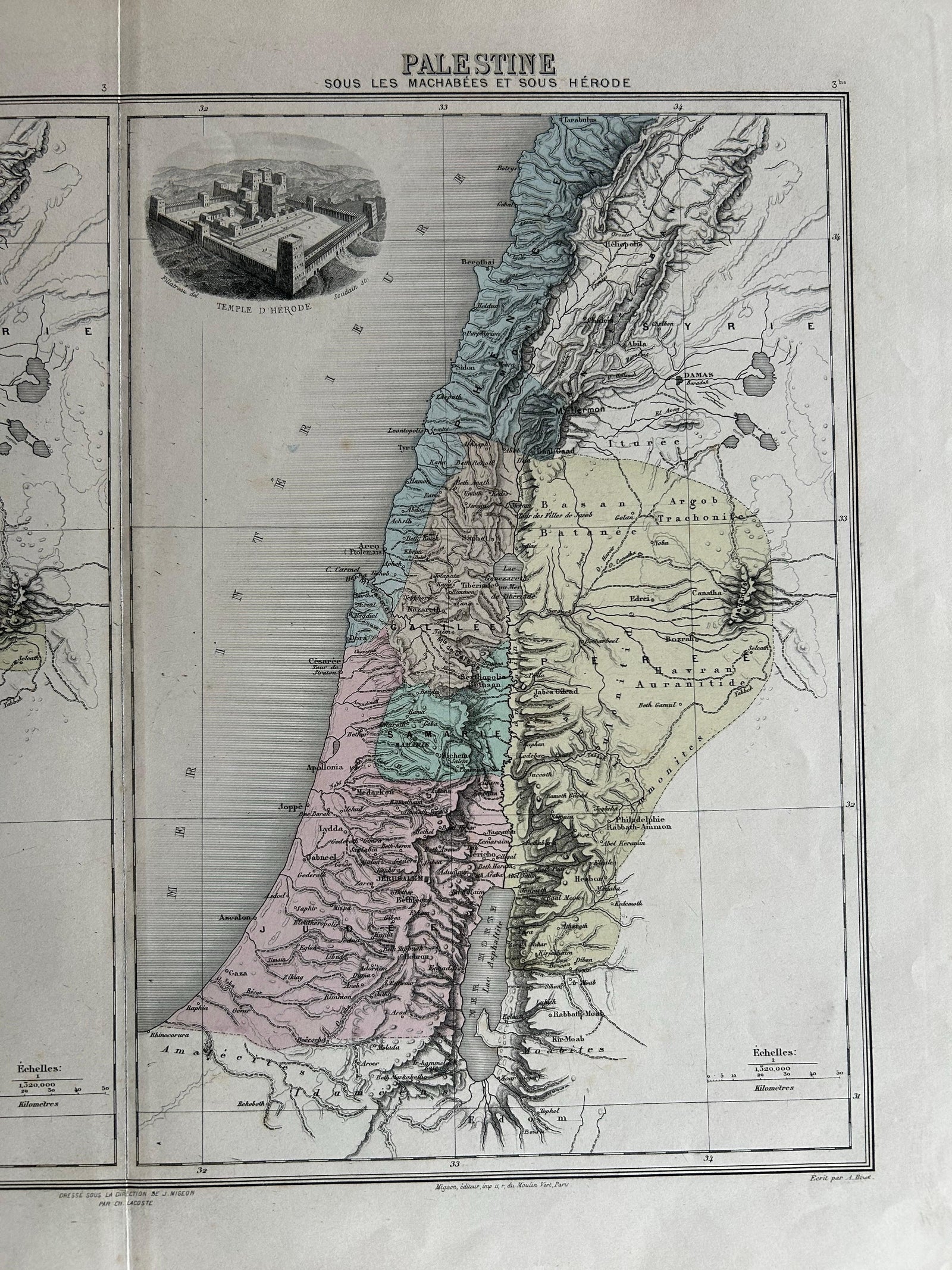
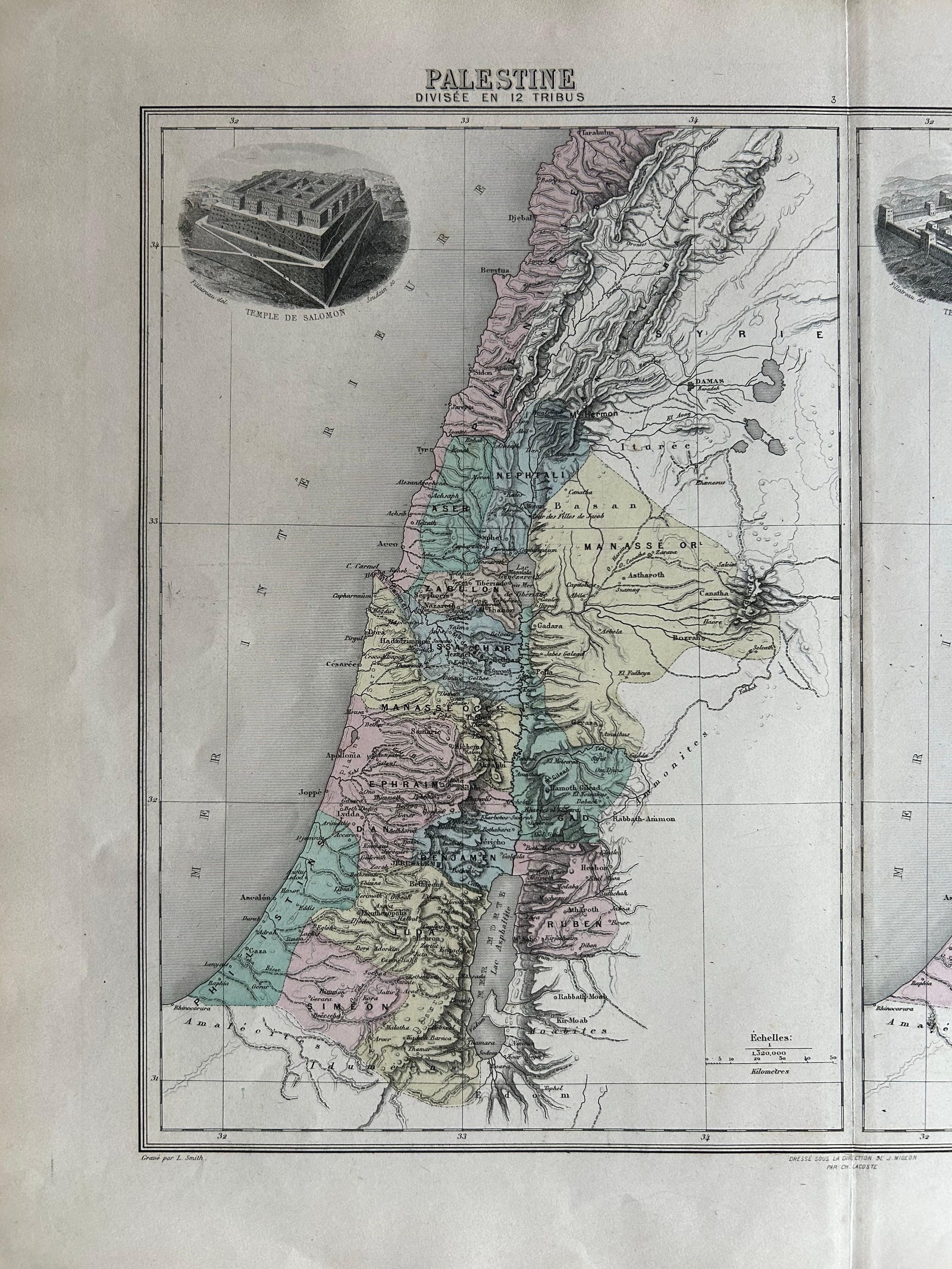
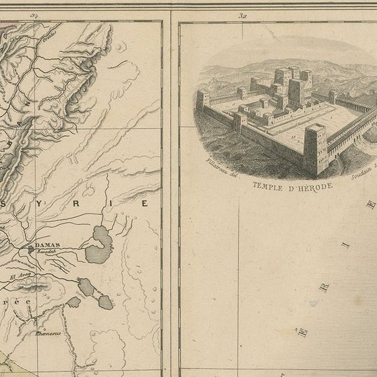
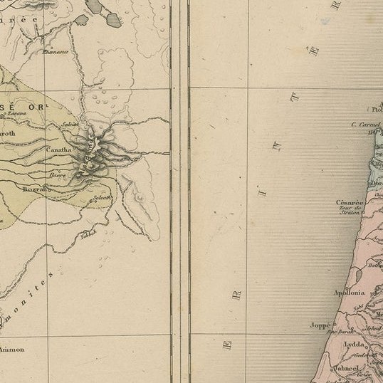
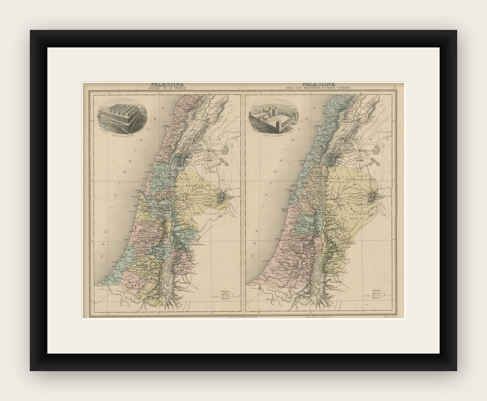
This detailed antique map features two historical views of the Holy Land side by side: Palestine divisée en 12 Tribus and Palestine sous les Machabées et sous Hérode. Published in 1892 by J. Migeon in the richly illustrated Nouvel Atlas Illustré, with historical commentary by L. E. Desbuissons, the sheet presents a vibrant historical-geographical overview of ancient Palestine.
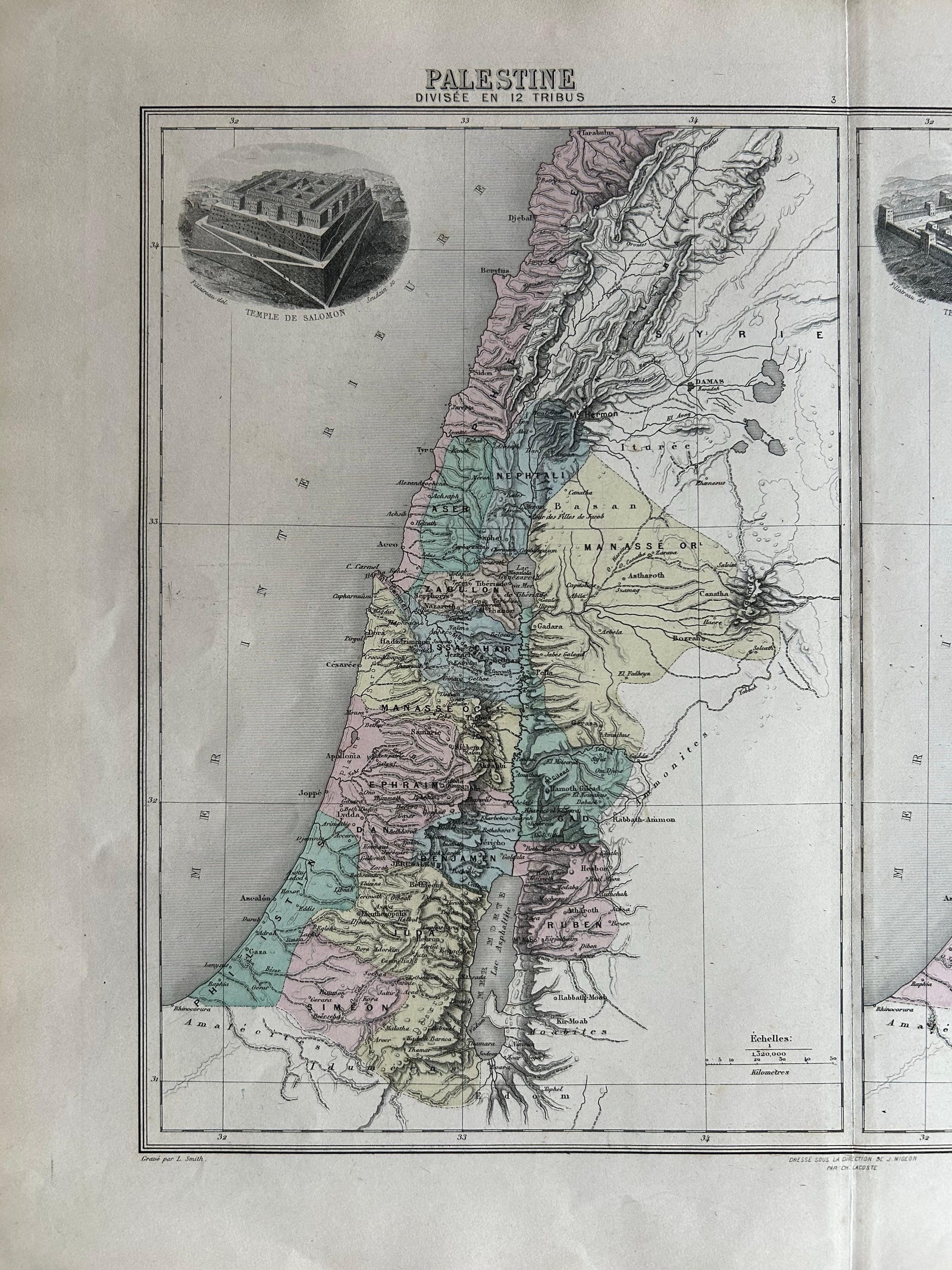
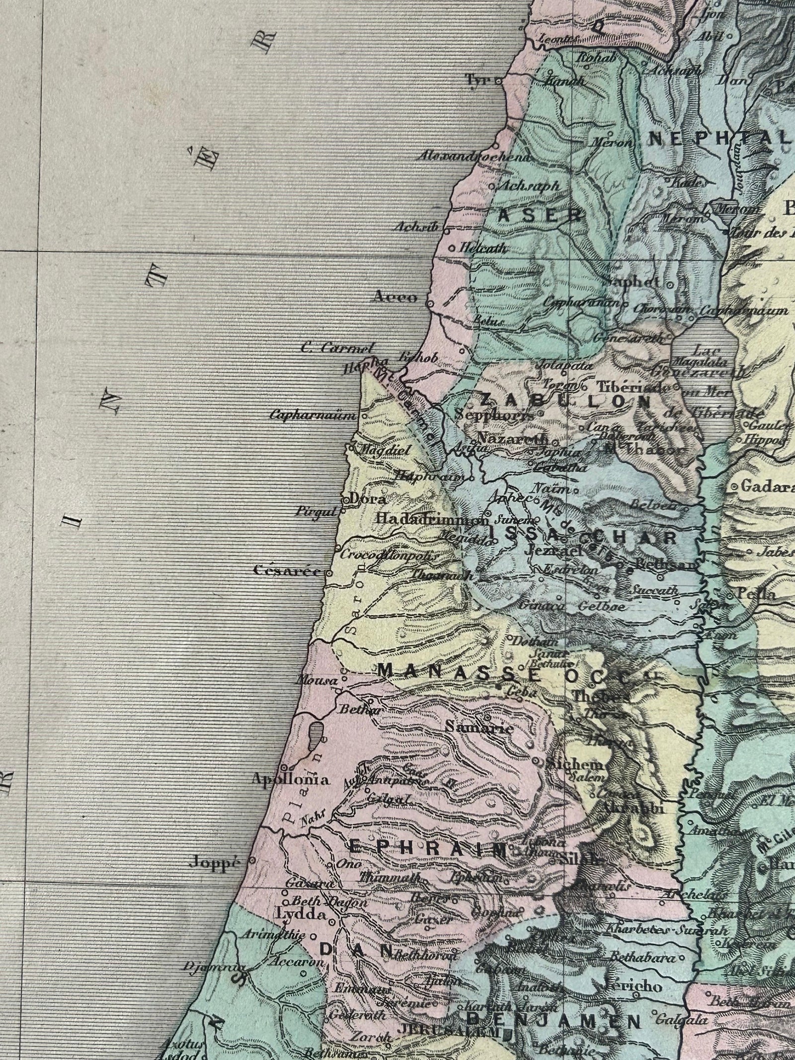
On the left, the first map illustrates the division of the land among the twelve tribes of Israel, based on biblical descriptions. Each tribe’s territory is color-coded, allowing for easy distinction and providing insight into the tribal layout of ancient Israel. Major biblical cities such as Jerusalem, Hebron, Jericho, and Shechem are clearly marked.
The map on the right shows Palestine during the time of the Maccabees and under Herod the Great, placing the region within the context of Hellenistic and Roman rule. This map reflects a period of significant political and religious transformation, including the Hasmonean revolt and the rise of Herodian architecture and influence.
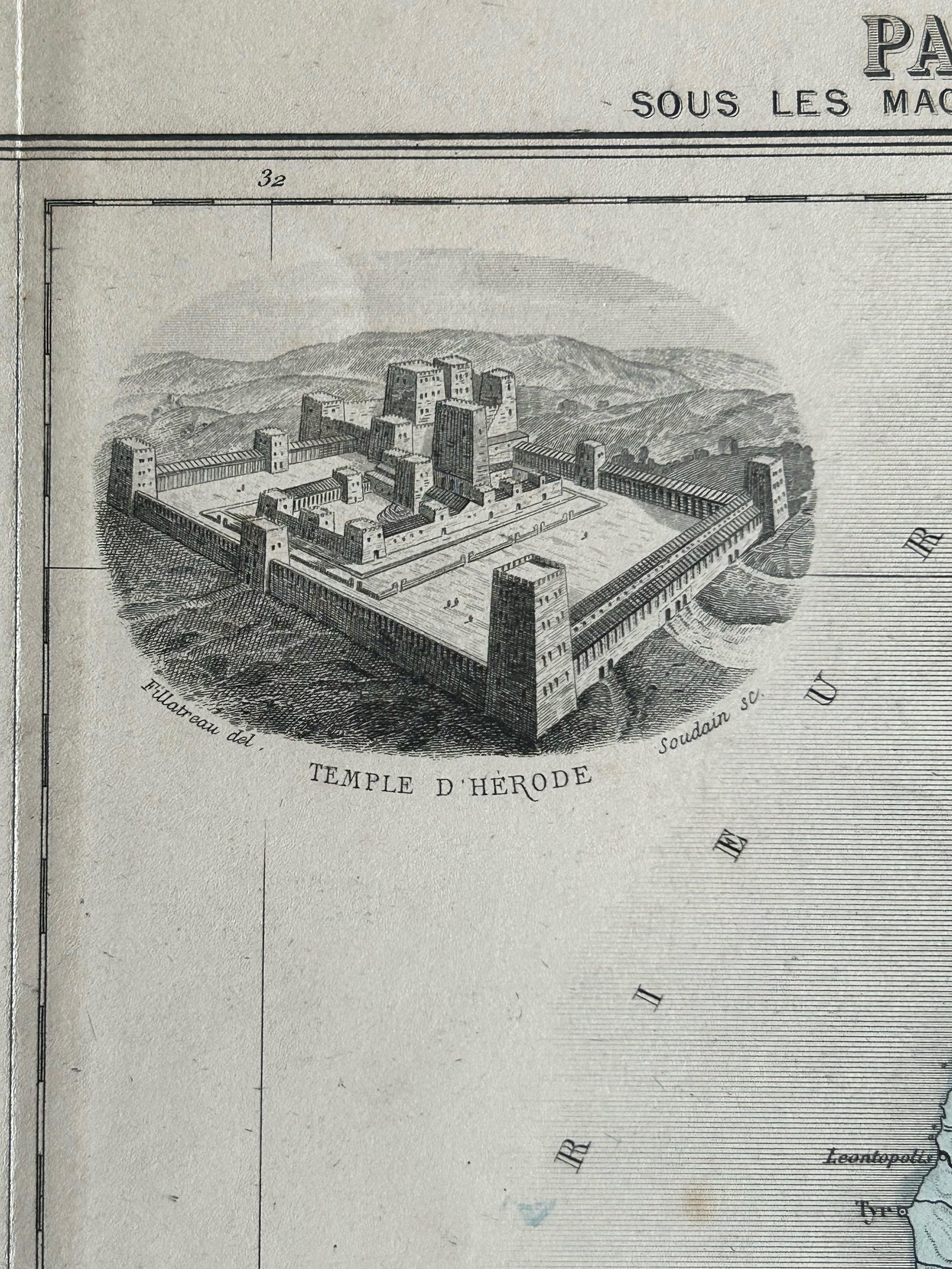
Both maps are enriched by inset vignettes at the top, one depicting the Temple of Solomon and the other the Temple of Herod, each rendered with architectural detail that highlights their historical importance. These illustrations add visual context to the religious and cultural landmarks that defined the identity of the region throughout antiquity.
This sheet is a superb example of 19th-century French cartographic and lithographic craftsmanship, blending historical education with decorative appeal.
Condition report: Excellent condition. Soft original hand-coloring with no major flaws. Slight age toning to the edges but no tears or repairs. Plate border and captions clean and sharp.
Framing tips: Consider a double window mat, one for each map, set within a single large gold-leaf or mahogany frame. A light beige or ivory mat will highlight the pastel coloring and architectural vignettes beautifully.
Explore