Close-ups
Framed and on the wall
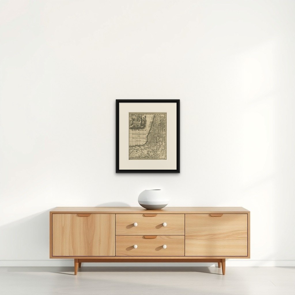

Frame and rooms are illustrations of how the print could look, drawn to its real size; it is sold unframed unless the description says otherwise.
The Holy Land
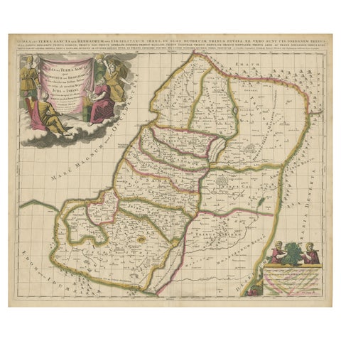
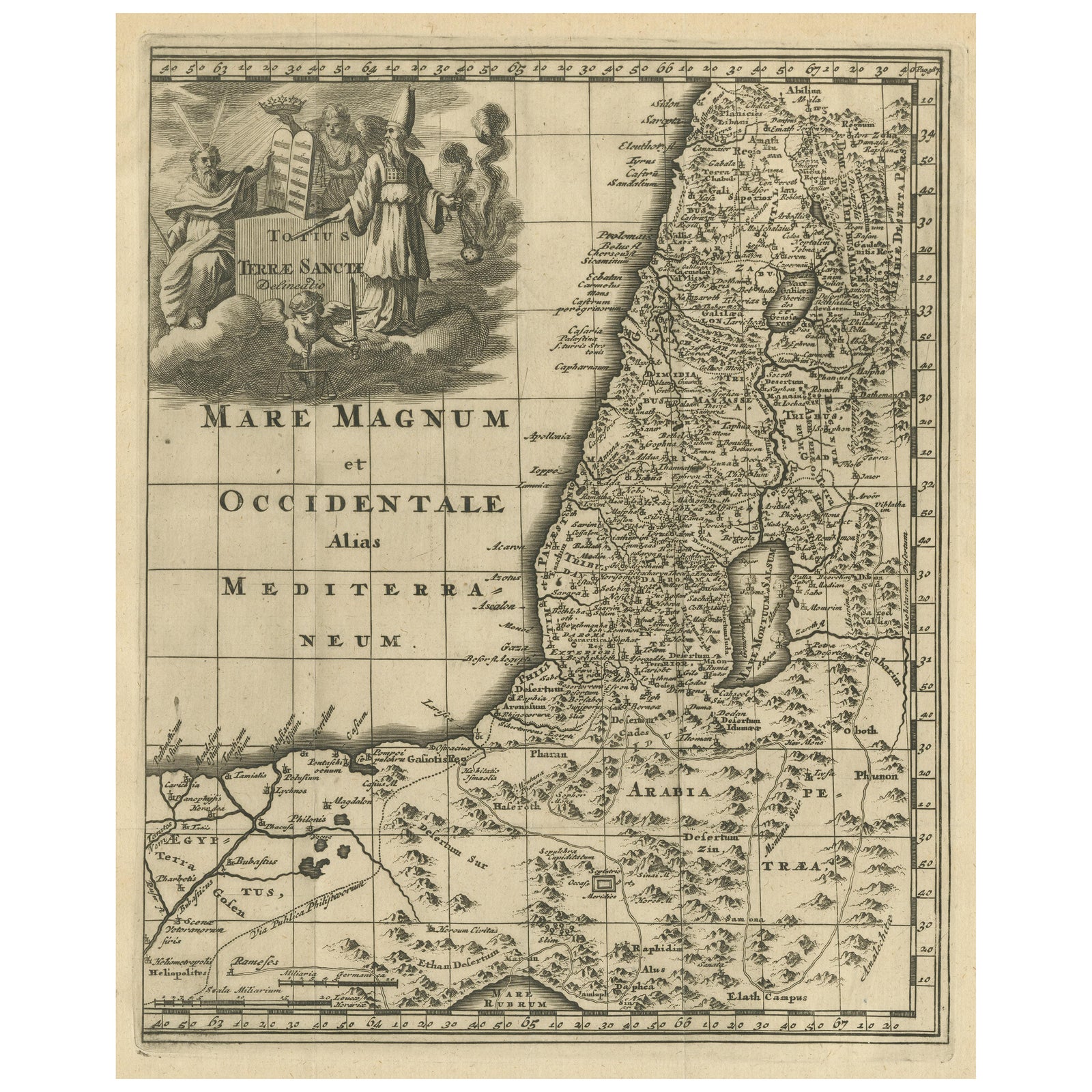
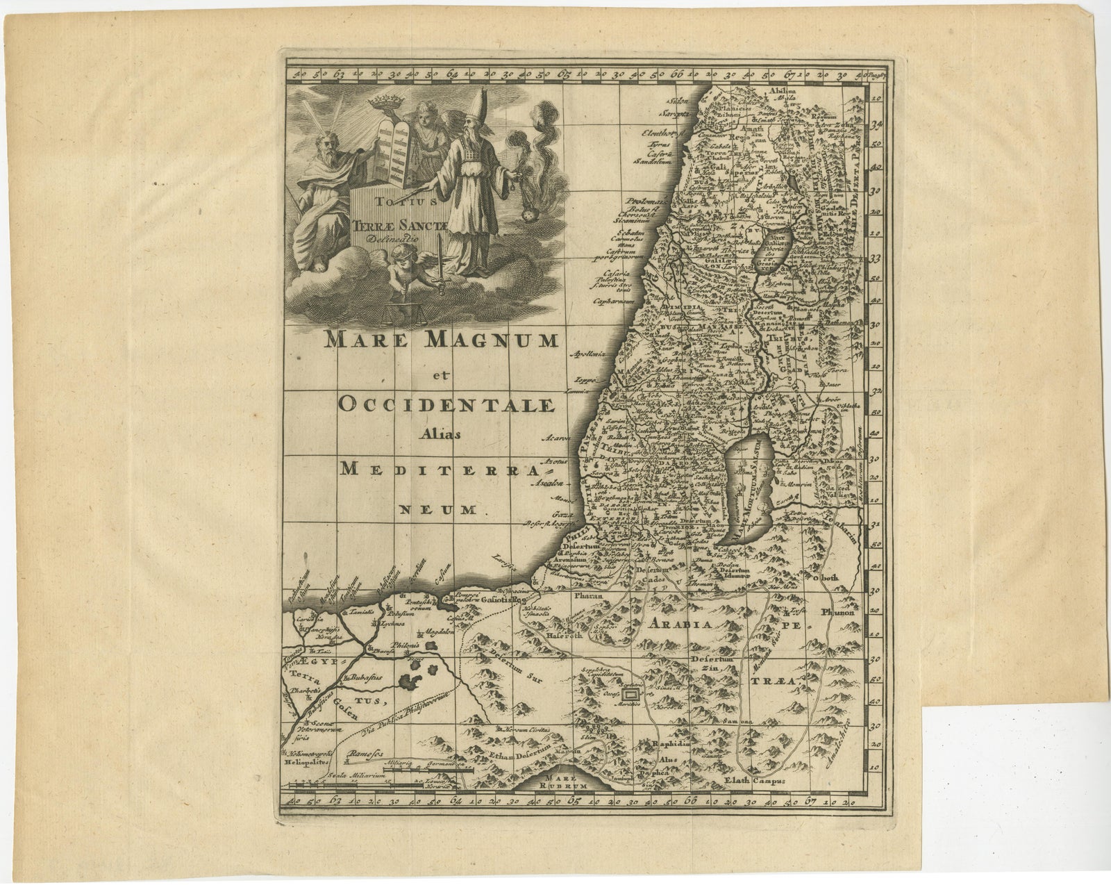
Original Antique Map of the Holy Land with Decorative Cartouche
£330
$440 · €390
Original print, not a reproduction
Ships worldwide from the Netherlands, flat, insured and tracked. 14-day returns. To buy, use Ask a question (info@antiquesacredprints.com) and we will reserve it for you.
- Date
- Not stated
- Sheet size
- 11.9 × 15 in (30.3 × 38.2 cm)
- Condition
- Good. General age-related toning. Original folding lines. Shows some wear and overall creasing. Right margin partly trimmed. Blank verso. Please study image carefully.
- Faith
- Christianity, Judaism
- Collection
- The Holy Land
- Stock no.
- f_35996762
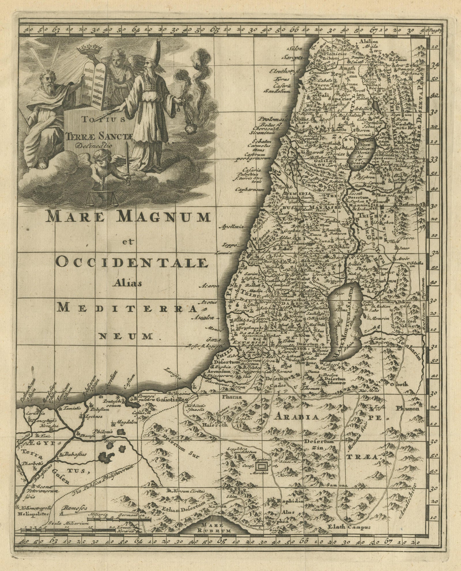
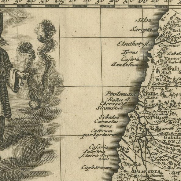
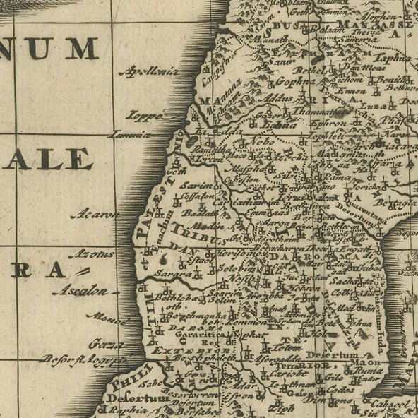
Antique map titled 'Totius Terrae Sanctae'. Original old map of the Holy Land, with a large decorative cartouche. The term "Holy Land" usually refers to a territory roughly corresponding to the modern State of Israel and the Palestinian territories. Published circa 1696.
Philipp Clüver (also Klüwer, Cluwer, or Cluvier, Latinized as Philippus Cluverius and Philippi Cluverii) (1580 to 31 December 1622) was an Early Modern German geographer and historian.