Close-ups
Framed and on the wall

Frame and rooms are illustrations of how the print could look, drawn to its real size; it is sold unframed unless the description says otherwise.
The Holy Land
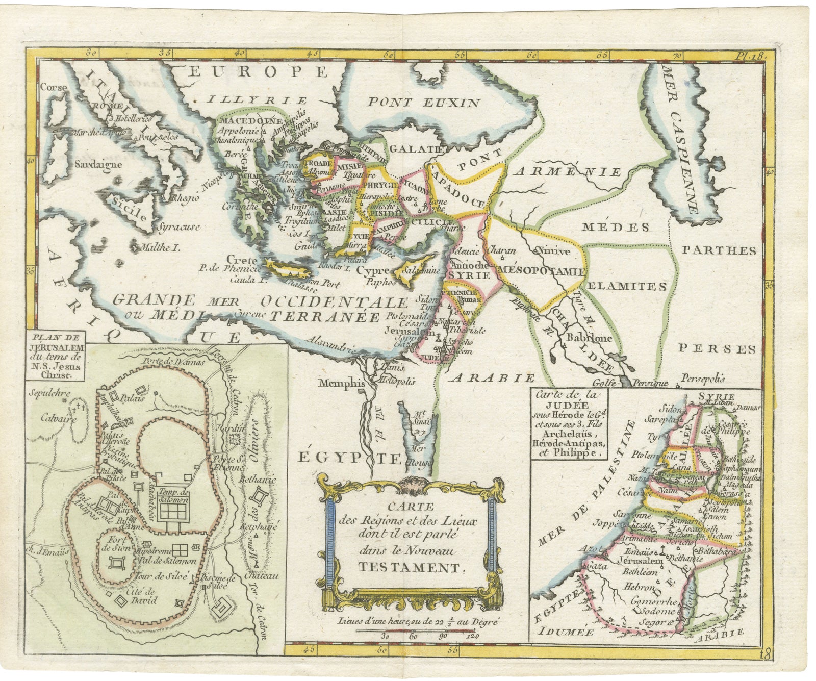
New Testament Holy Land Map with Jerusalem Plan, French, c.1779
Anno Domini MDCCLXXIX1779
$525
€470 · £400
Original print, not a reproduction
Ships worldwide from the Netherlands, flat, insured and tracked. 14-day returns. To buy, use Ask a question (info@antiquesacredprints.com) and we will reserve it for you.
- Date
- 1779
- Sheet size
- 7.7 × 9.4 in (19.6 × 24 cm)
- Condition
- Good. Good antique condition with age-related toning and light wear. Original center fold visible as issued. Minor foxing and handling marks in the margins consistent with age. Original hand coloring remains vivid and well preserved.
- Faith
- Christianity
- Collection
- The Holy Land
- Era
- 1700 to 1799, Mortier, Picart and the illustrated Bible
- Stock no.
- f_49452472
New Testament Holy Land Map with Jerusalem Plan, French, c.1779
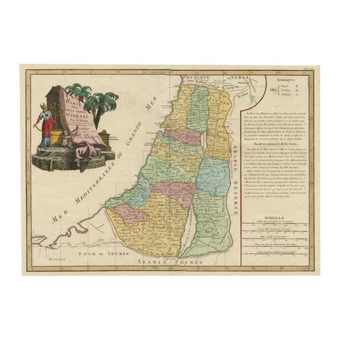
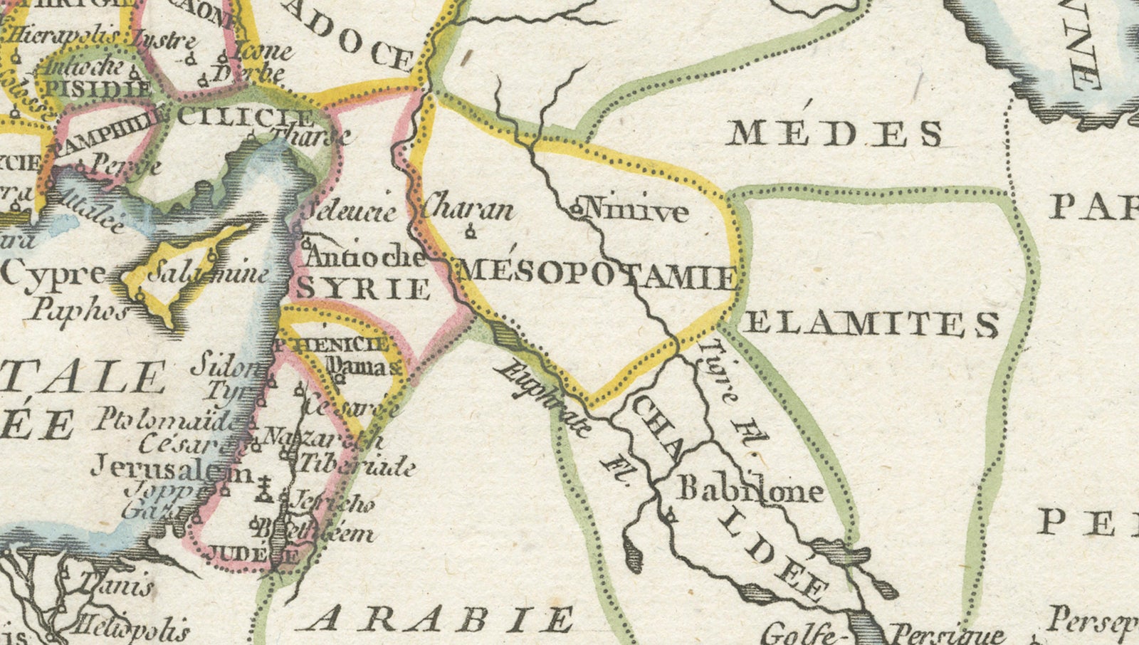
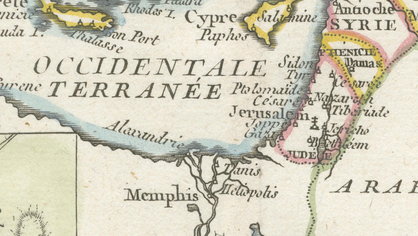
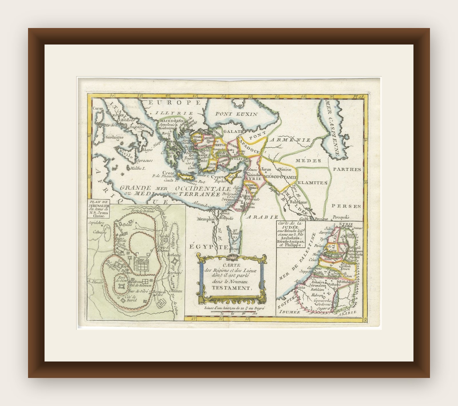
This finely engraved and beautifully hand-colored 18th-century map depicts the regions and principal locations referenced in the New Testament, extending from Greece and Asia Minor through the Levant, Mesopotamia, and Egypt. Published in France around 1779, the map was designed as both a geographical and biblical reference work for educated readers during the Enlightenment period, combining classical geography with sacred history.
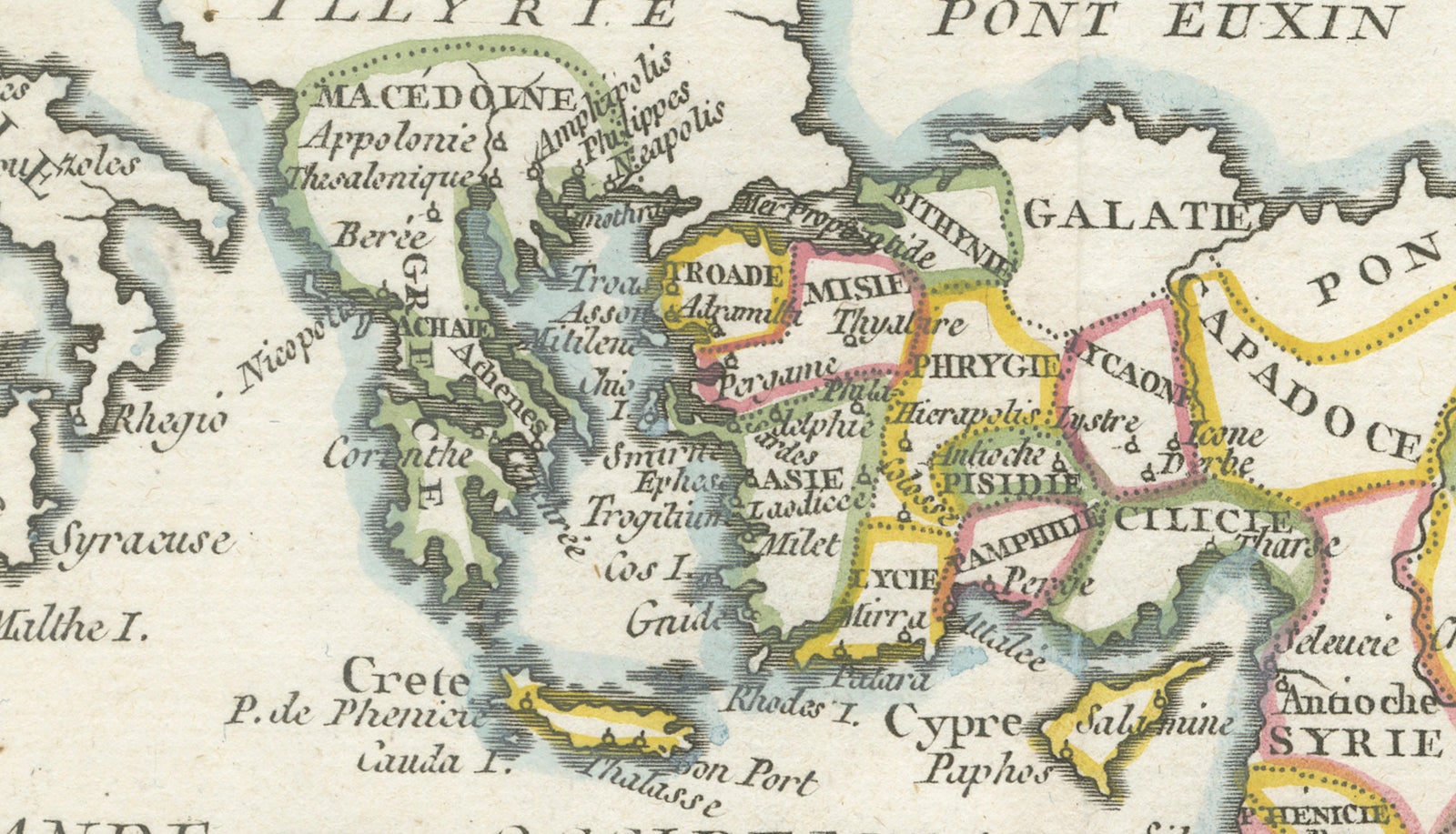
The composition is especially attractive because of its multiple inset maps and balanced decorative layout. At center is the main map showing the eastern Mediterranean world during the Roman and early Christian era, including Judea, Syria, Cappadocia, Galatia, Mesopotamia, and parts of Greece and Asia Minor. Numerous biblical cities and regions are carefully identified, including Jerusalem, Bethlehem, Nazareth, Antioch, Damascus, and Babylon.
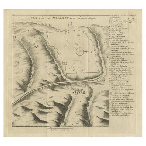
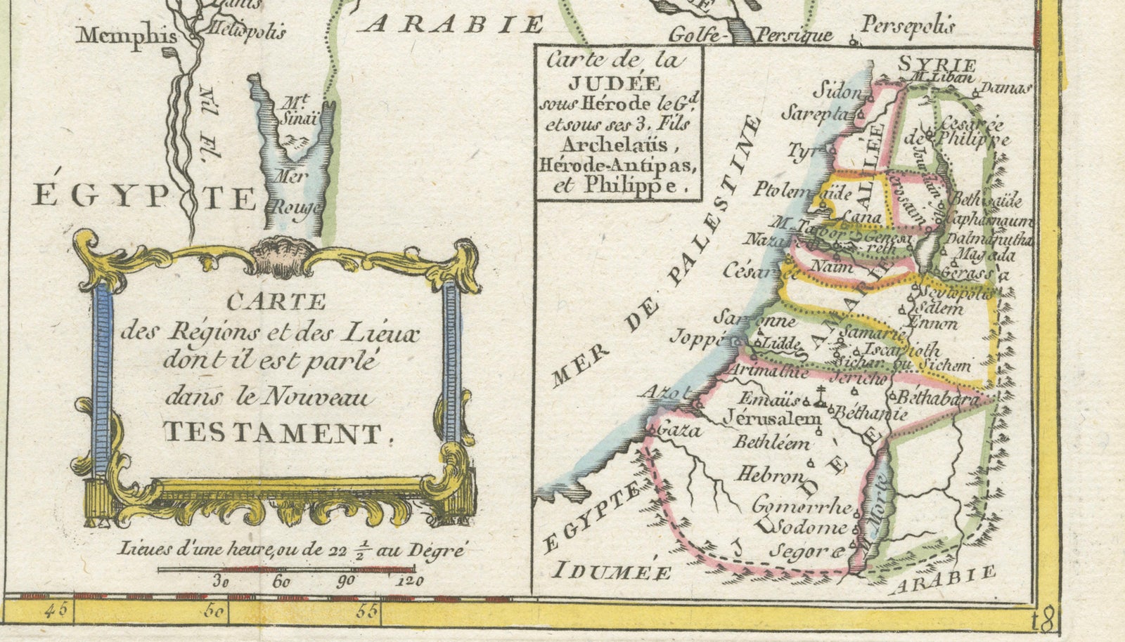
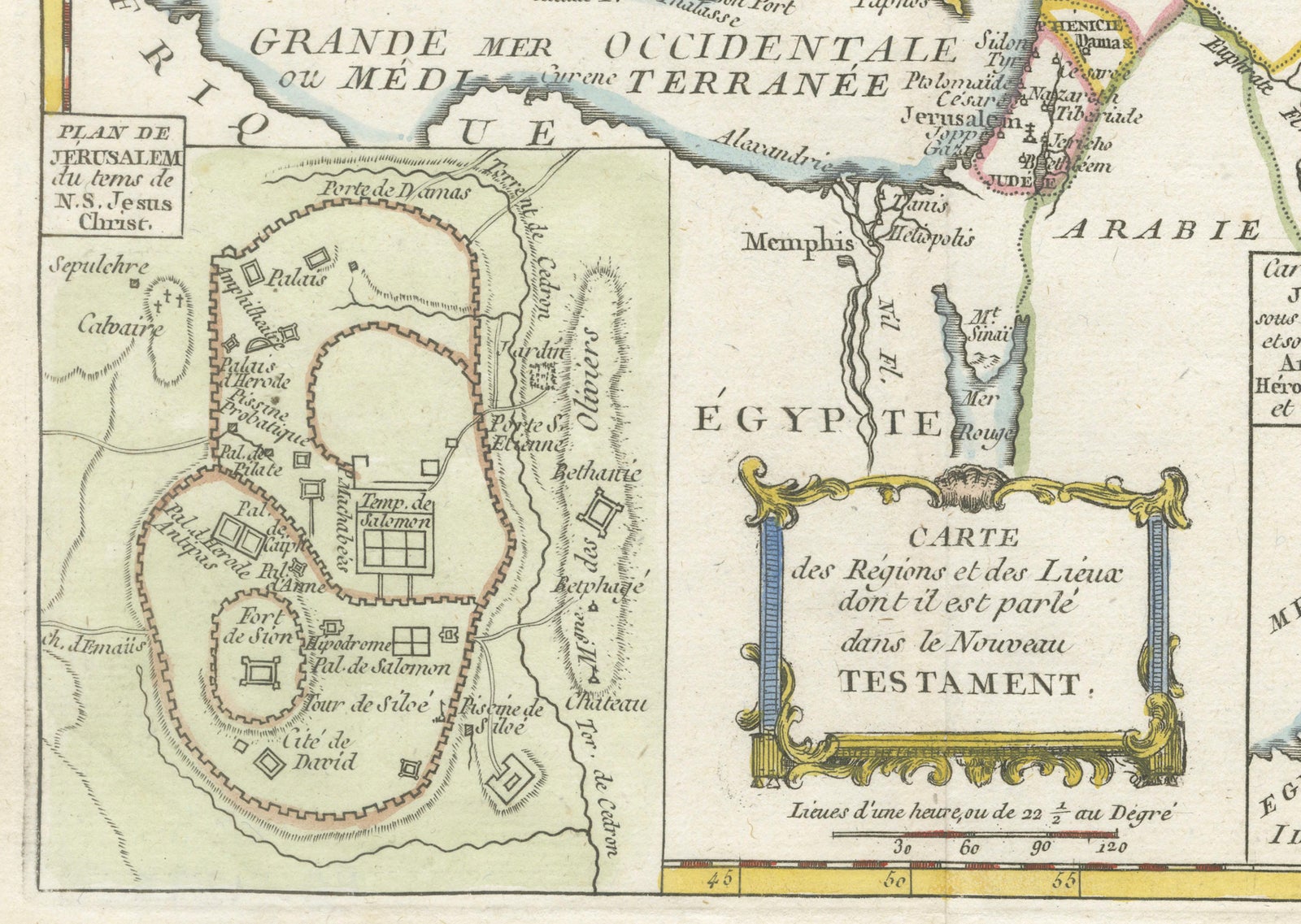
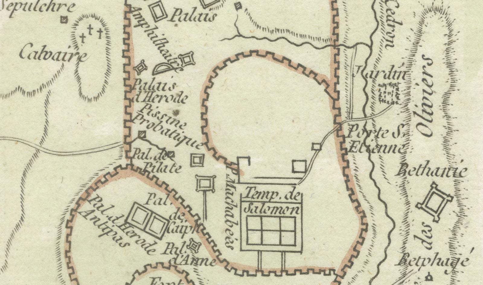
Two highly decorative inset maps enhance the historical and visual interest of the piece. The large inset at lower left presents a plan of Jerusalem during the time of Jesus Christ, illustrating the city walls, temple complex, palaces, and key sacred locations. The inset at lower right focuses more closely on Judea under Herod and the Roman client rulers Archelaus, Antipas, and Philip. These detailed inserts transform the map from a general regional chart into a sophisticated biblical and historical document.
The decorative rococo title cartouche positioned near the bottom center adds elegance to the composition and reflects the refined style of late-18th century French atlas engraving. Original hand coloring in soft pink, yellow, green, and blue outlines remains fresh and attractive, while the delicate engraving and elegant typography give the sheet excellent wall presence.
Maps of the Holy Land and biblical geography have long been among the most sought-after categories in antique cartography, appealing to collectors interested in religion, classical history, the Near East, and decorative European engraving. The inclusion of Jerusalem plans and New Testament geography gives this example additional desirability beyond standard regional maps of the period.
Note: The map is an original antique engraving, not a reproduction. All items we offer are authentic period works of art over 100 years old. The pieces are sold unframed; any framed images are shown for presentation and interior inspiration only and may not always be to scale.
Condition: Good antique condition with age-related toning and light wear. Original center fold visible as issued. Minor foxing and handling marks in the margins consistent with age. Original hand coloring remains vivid and well preserved.
Framing tips: Particularly effective in a dark walnut or gilt frame with a warm ivory mat. Excellent for library interiors, studies, or Mediterranean and classical-inspired spaces.
Technique: Copper engraving with original hand coloring
Maker: French school, circa 1779
Explore