Close-ups
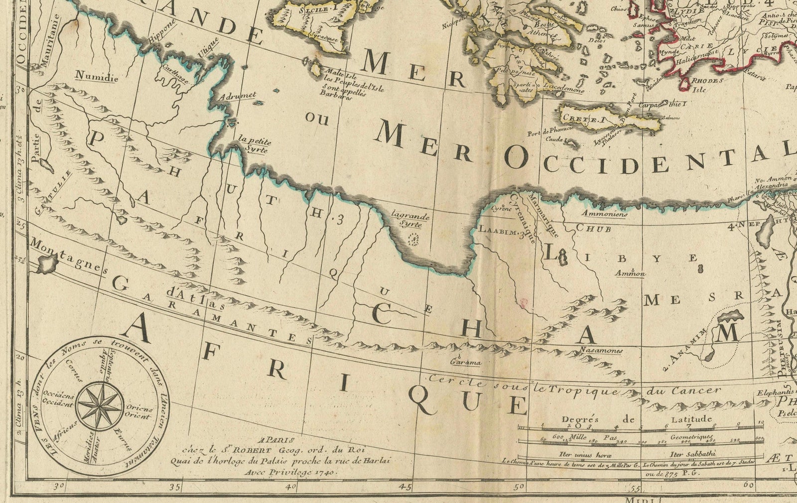
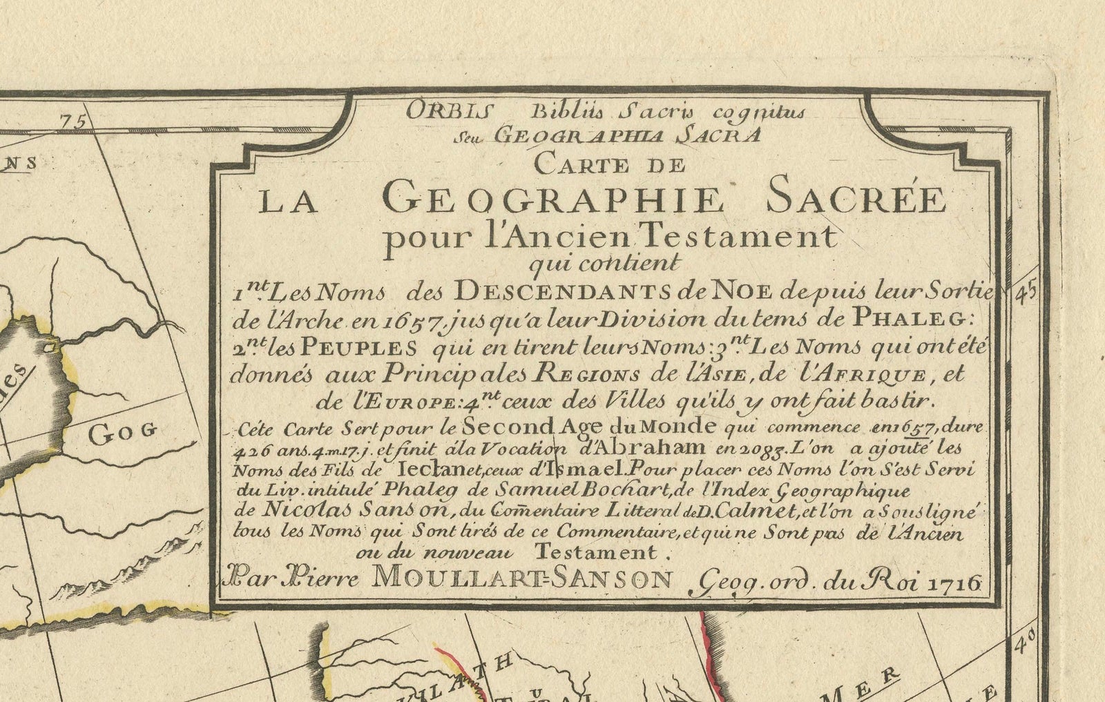
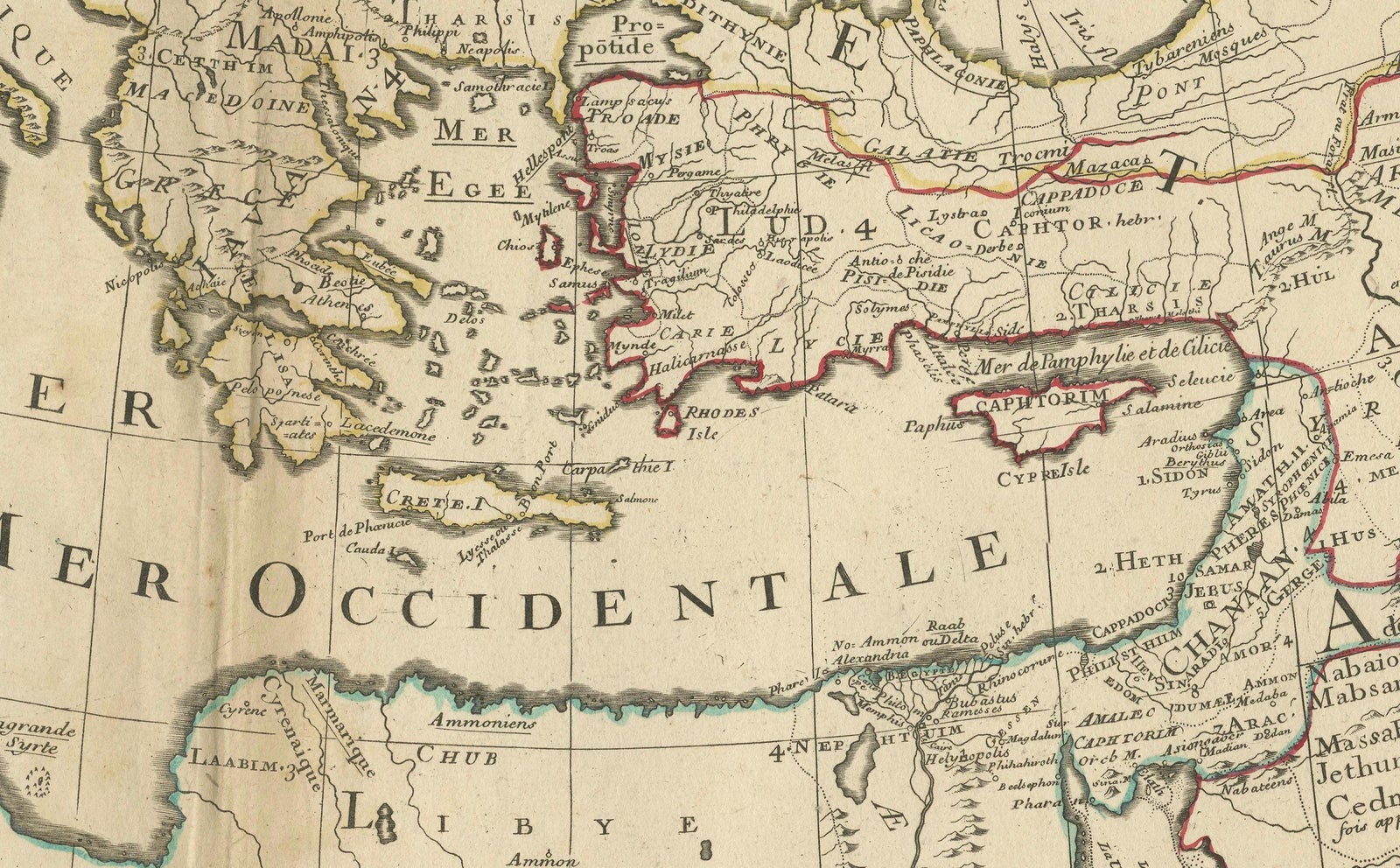
Framed and on the wall

Frame and rooms are illustrations of how the print could look, drawn to its real size; it is sold unframed unless the description says otherwise.
The Holy Land
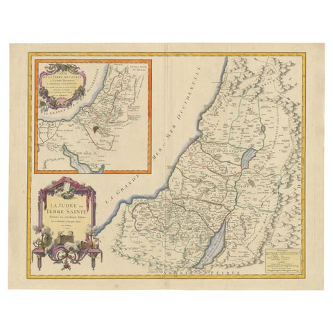
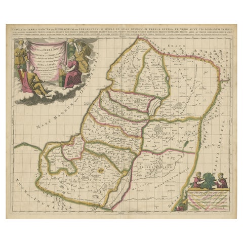
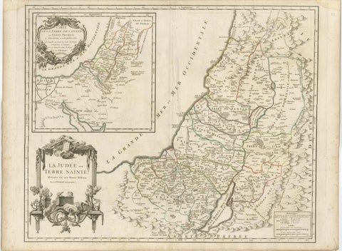
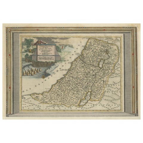
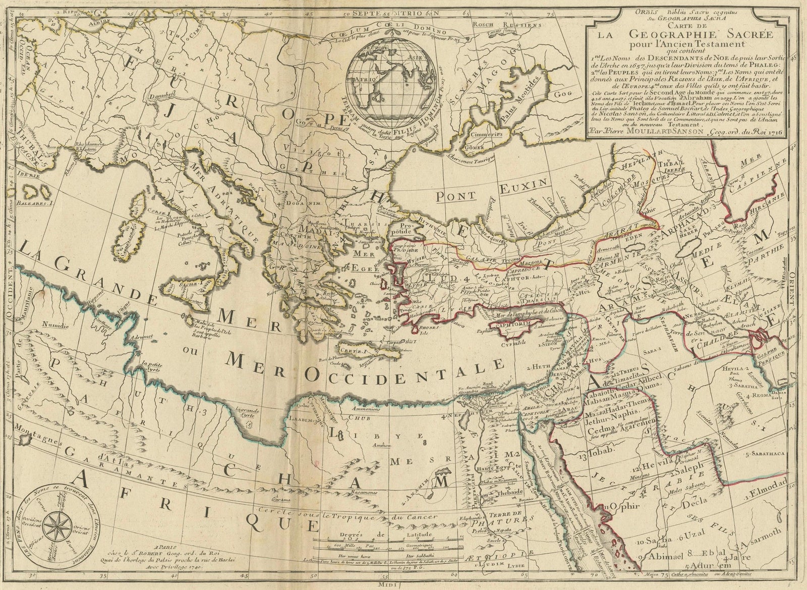
Moullart-Sanson Map of the Holy Land and Sacred Geography of the Old Testament
£545
$720 · €640
Original print, not a reproduction
Ships worldwide from the Netherlands, flat, insured and tracked. 14-day returns. To buy, use Ask a question (info@antiquesacredprints.com) and we will reserve it for you.
- Date
- Not stated
- Sheet size
- 21.3 × 31.1 in (54 × 79 cm)
- Condition
- Good. Condition report: Engraved map with original outline colors; platemark approximately 410 x 715 mm (16 1/8 x 28 1/4 in). Wide margins, minor spotting, and surface dirt; central vertical fold with slight creasing; overall well-preserved.
- Faith
- Christianity, Judaism
- Collection
- The Holy Land
- Stock no.
- f_42638032
"1716 Moullart-Sanson Map of the Holy Land and Sacred Geography of the Old Testament"
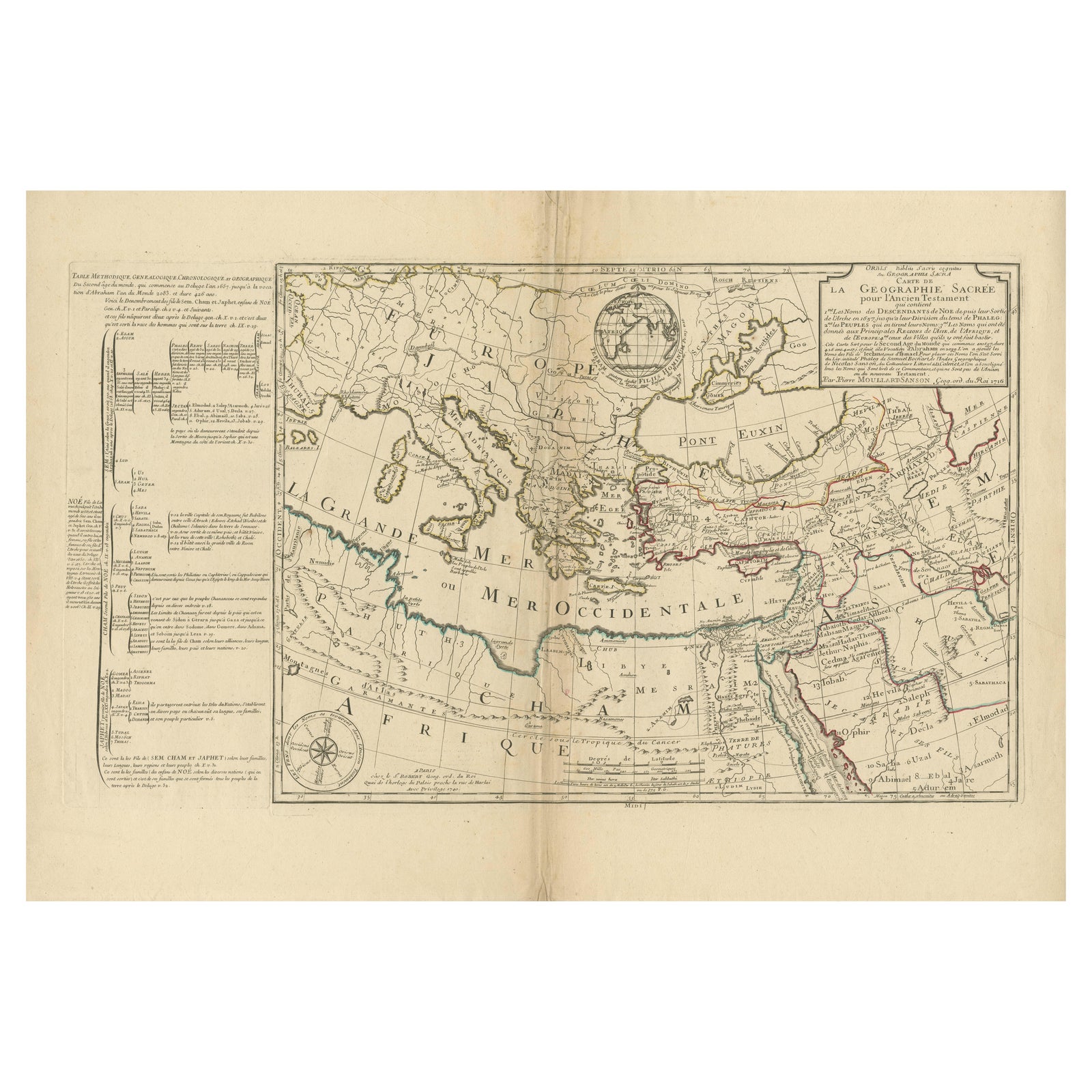
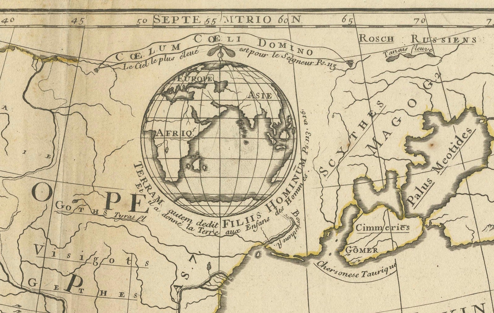
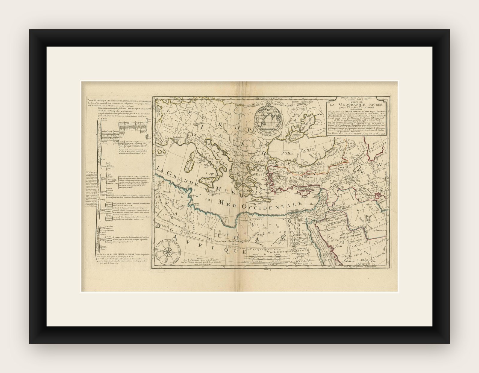
This engraved map, created by Pierre Moullart-Sanson and reissued by Robert de Vaugondy in 1740, presents the Holy Land and surrounding regions as referenced in the Old Testament. The map features the Mediterranean region, North Africa, the Middle East, and parts of Europe, illustrating biblical locations and historical geography. It includes detailed annotations and genealogical charts of Sem, Cham, and Japheth, the three sons of Noah, on the left panel, connecting the geographical landscape to biblical genealogy.
The map is adorned with hand-outlined coloring, which emphasizes territorial divisions and major geographical features, including the “Mer Occidentale” (Mediterranean Sea) and regions like Egypt, Israel, and Mesopotamia. The work reflects the scholarly focus of the period, combining religious, historical, and cartographic insights.
Condition report: Engraved map with original outline colors; platemark approximately 410 x 715 mm (16 1/8 x 28 1/4 in). Wide margins, minor spotting, and surface dirt; central vertical fold with slight creasing; overall well-preserved. Unframed.