Close-ups
Framed and on the wall

Frame and rooms are illustrations of how the print could look, drawn to its real size; it is sold unframed unless the description says otherwise.
The Holy Land
Holy Land Map Palestine Homann Heirs, Hand Colored, c.1744
Anno Domini MDCCXLIV1744
€990
$1,115 · £840
Original print, not a reproduction
Ships worldwide from the Netherlands, flat, insured and tracked. 14-day returns. To buy, use Ask a question (info@antiquesacredprints.com) and we will reserve it for you.
- Date
- 1744
- Sheet size
- 21.3 × 25.1 in (54 × 63.8 cm)
- Condition
- Good. Fair. The sheet shows overall creasing and has been trimmed into the margins, in places close to or just within the platemark. Old paper repairs visible on the verso. The map retains a strong visual presence with attractive original hand coloring.
- Faith
- Christianity, Judaism
- Collection
- The Holy Land
- Era
- 1700 to 1799, Mortier, Picart and the illustrated Bible
- Stock no.
- f_49386822
Holy Land Map Palestine Homann Heirs, Hand Colored, c.1744
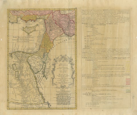
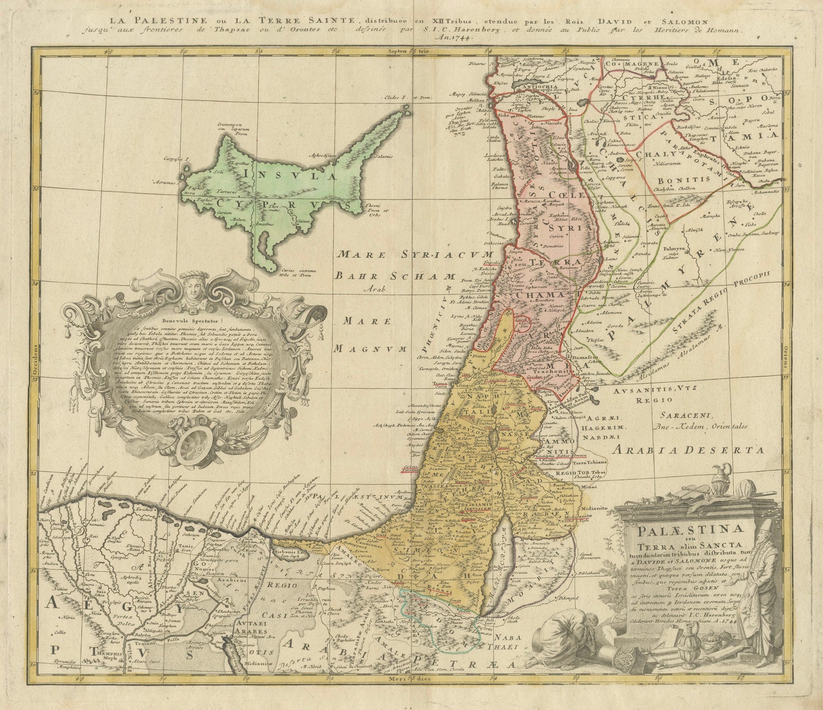
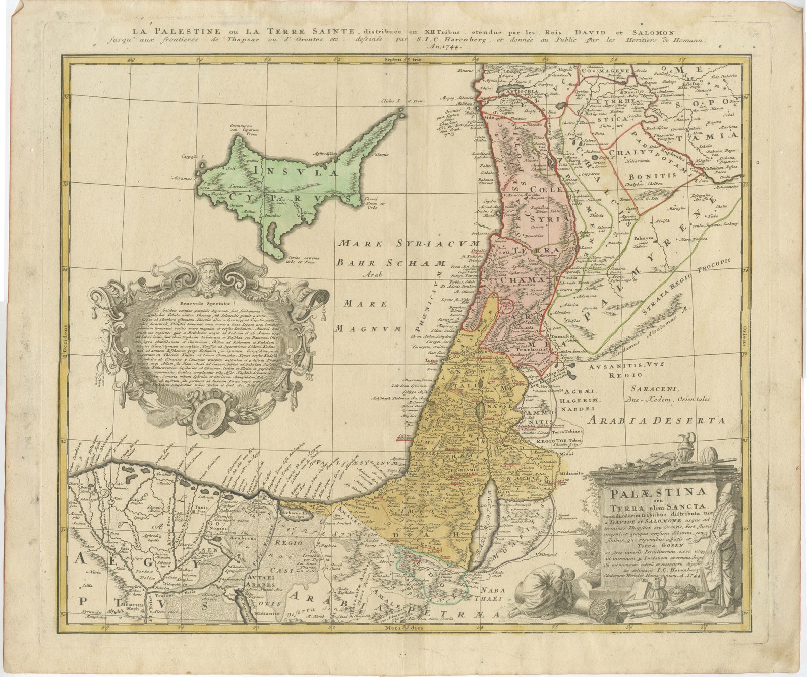
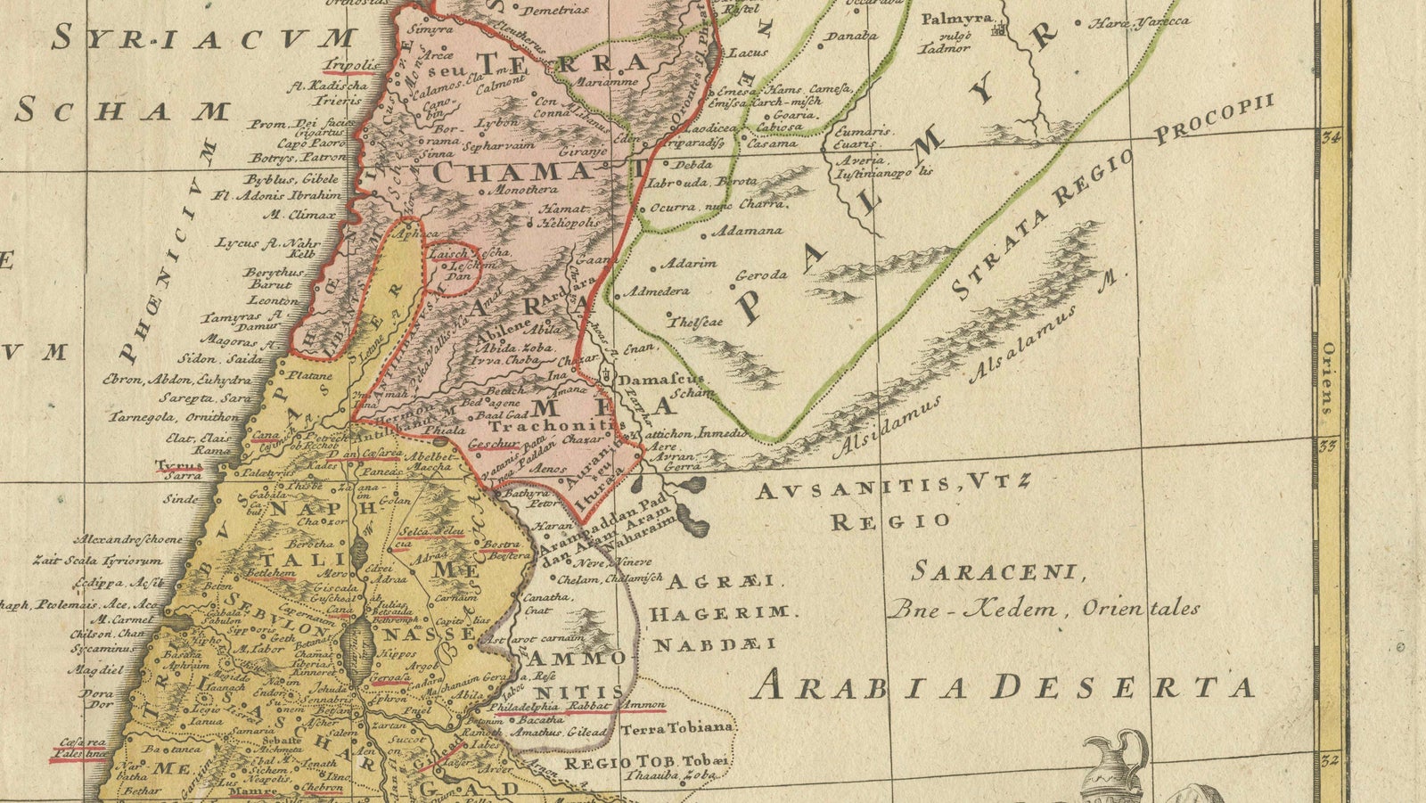
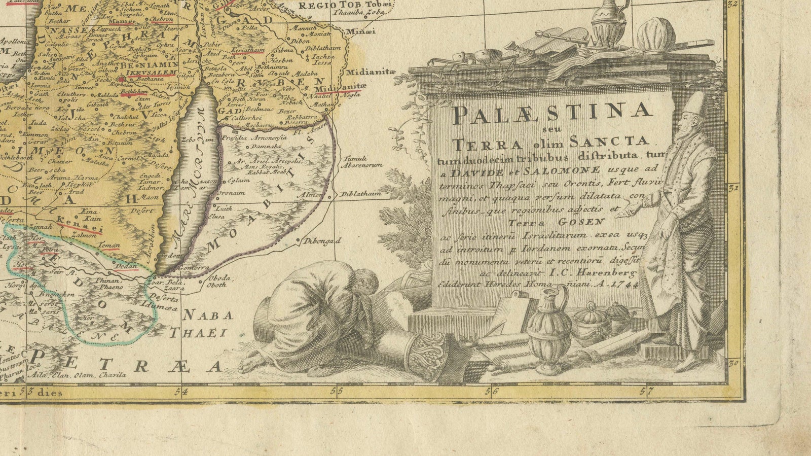
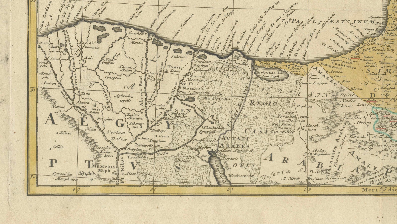
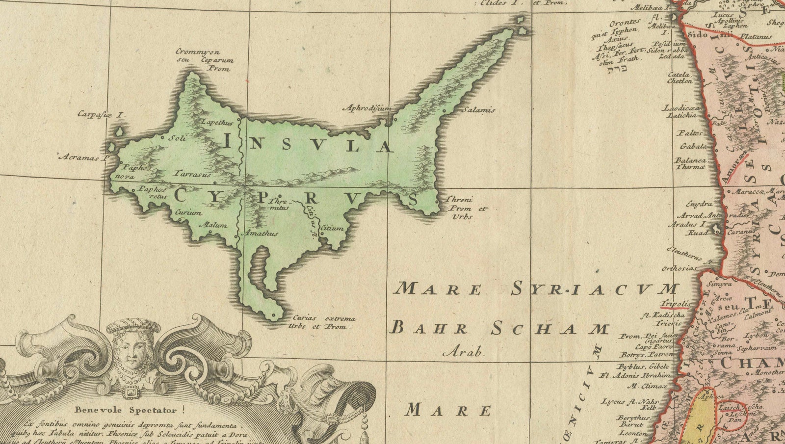
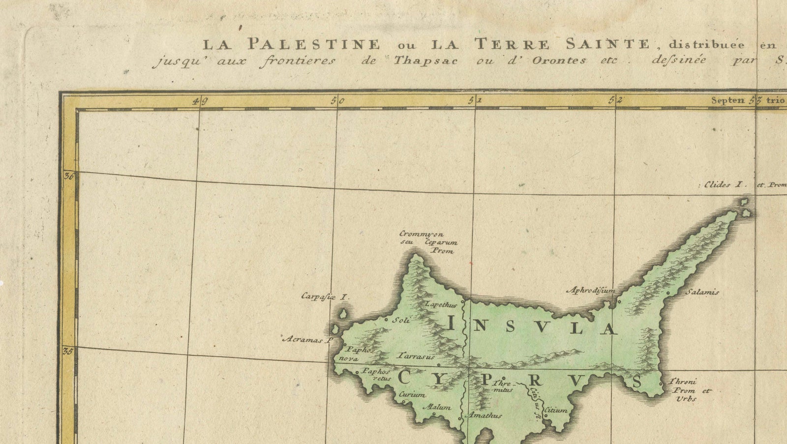
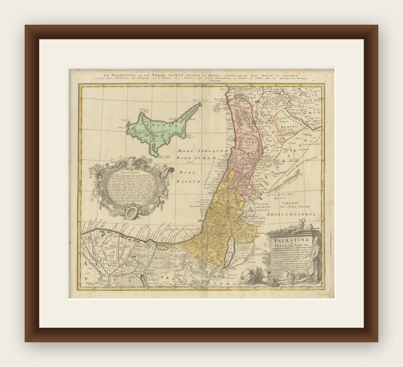
This finely engraved and original hand-colored map of the Holy Land, titled La Palestine ou la Terre Sainte, was revised by Johann Christoph Harenberg and published by the Homann Heirs in Nuremberg around 1744 to 1750. It represents a later and more refined development of the celebrated Homann cartographic tradition.
The map depicts the biblical geography of Palestine, carefully divided among the Twelve Tribes of Israel and extended to reflect the territories associated with the kingdoms of David and Solomon. The geographic scope reaches from the Mediterranean coast inland across the Jordan River and into Syria and Arabia, combining scriptural tradition with 18th-century geographical knowledge.
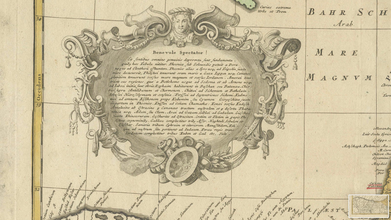
Aesthetically, the map is richly decorative yet more balanced and elegant than earlier Homann examples. The lower right cartouche presents a finely engraved allegorical composition labeled *Palestina Terra Sancta*, while the left side features an elaborate rococo-style cartouche containing explanatory text. In the upper left, an inset map of Cyprus adds both geographic context and visual interest.
The engraving reflects the transition from Baroque to Rococo style, with lighter ornamentation and a clearer spatial structure. The original hand coloring enhances the division of territories and gives the map strong decorative appeal, making it particularly suitable for interior display.
Maps of the Holy Land have consistently strong international demand, appealing to collectors of cartography, religious history, and decorative antique maps.
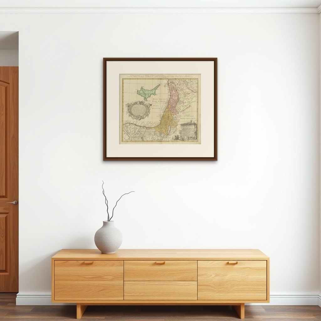
Note: Interior mockups shown are for visual inspiration only and do not represent the exact scale. We do not sell reproductions, only original works of art over 100 years old.
Condition: Good antique condition with age toning, light foxing, and some handling wear. The sheet shows signs of age consistent with use, but remains visually strong with attractive original hand coloring.
Framing tips: Presents beautifully in a dark wood or black frame with a warm ivory mount. Museum glass recommended to protect the coloring and enhance detail.
Technique: Copperplate engraving with original hand coloring
Maker: Homann Heirs, after Johann Christoph Harenberg, Nuremberg, circa 1744 to 1750
Explore