Close-ups
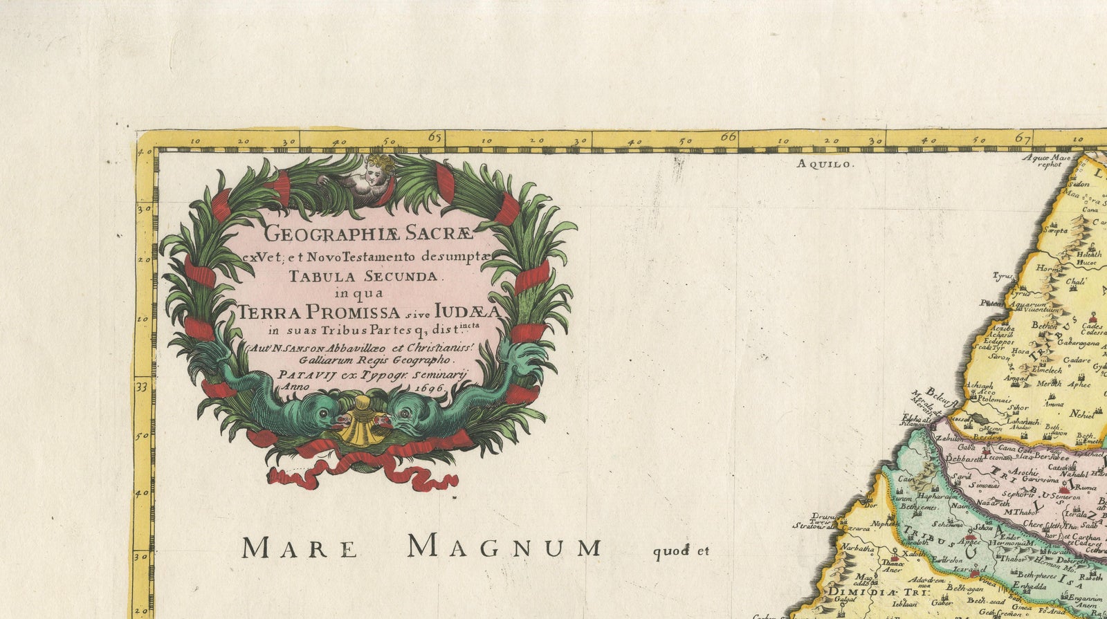
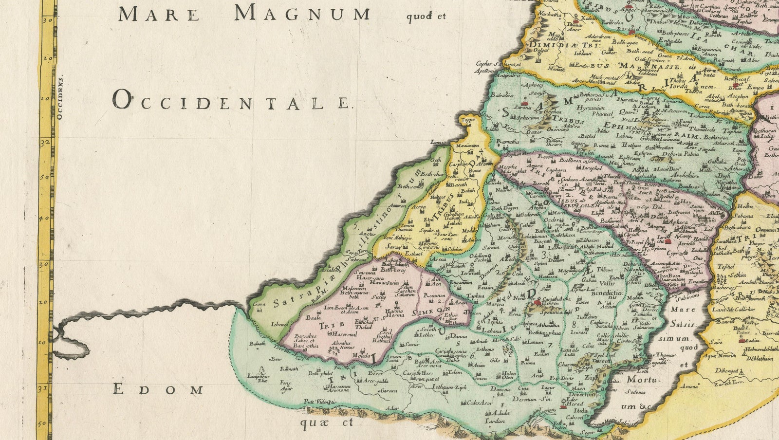
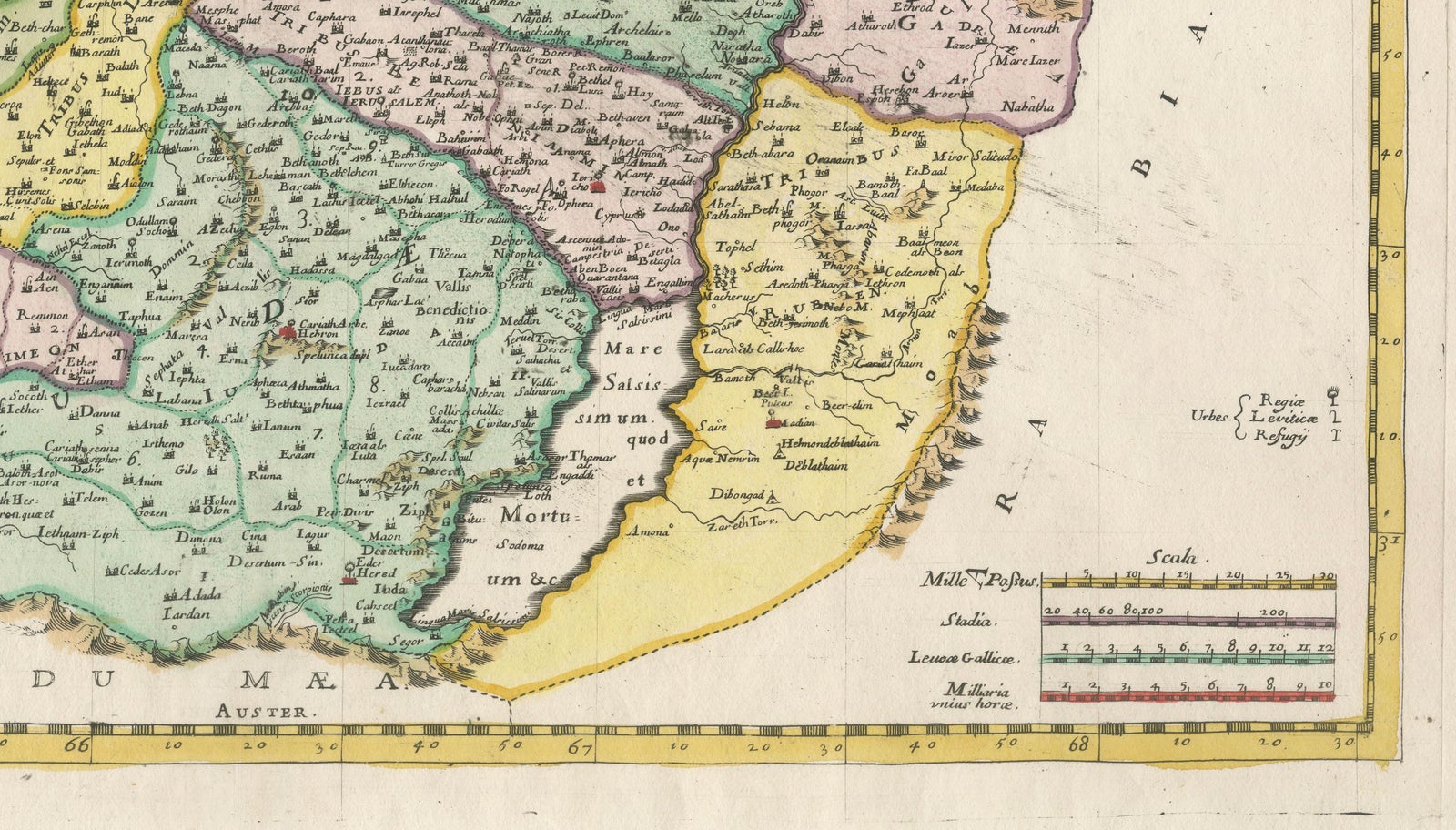
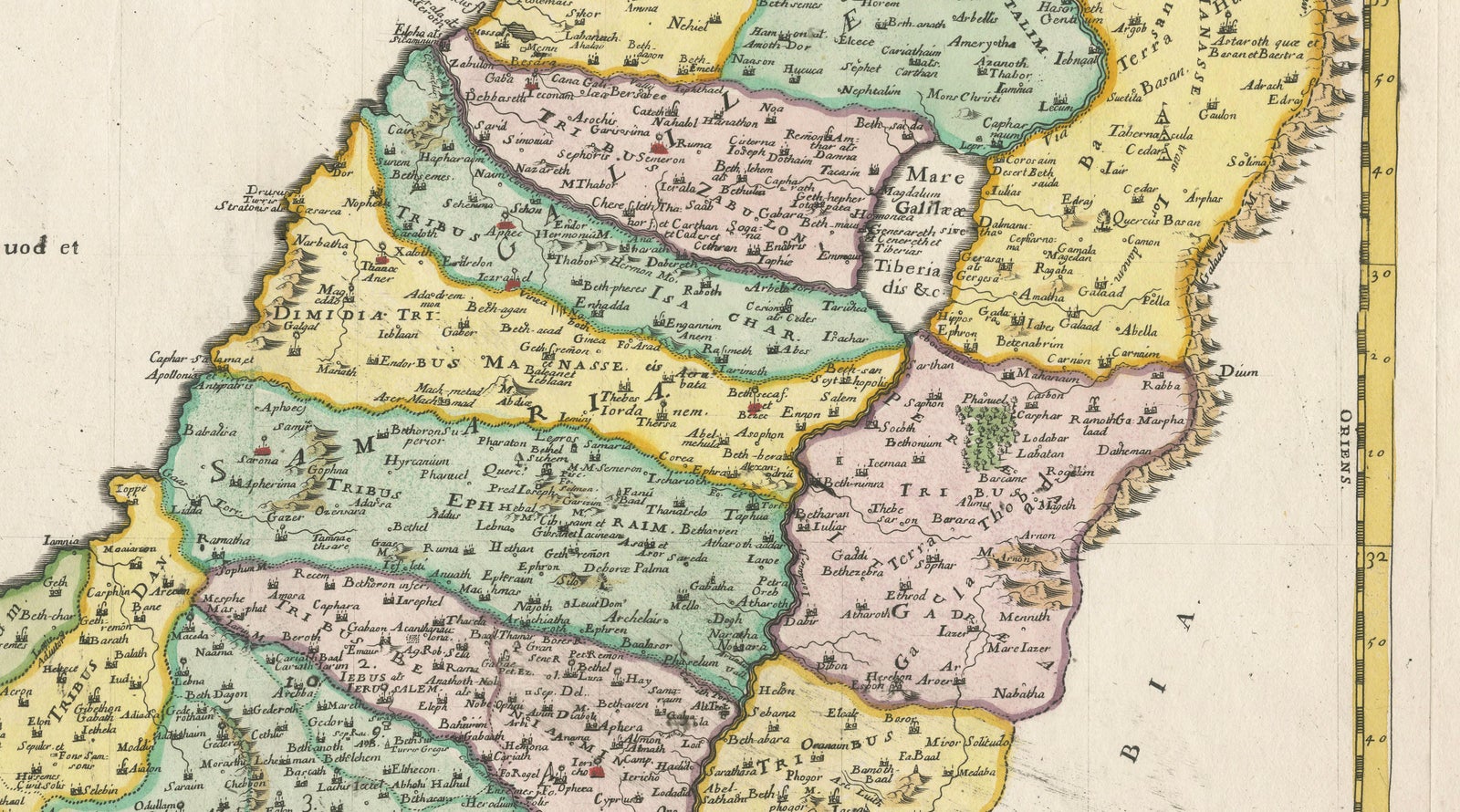
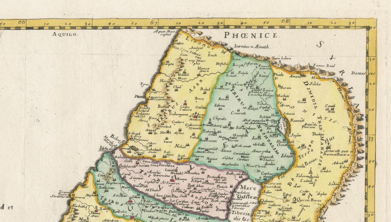
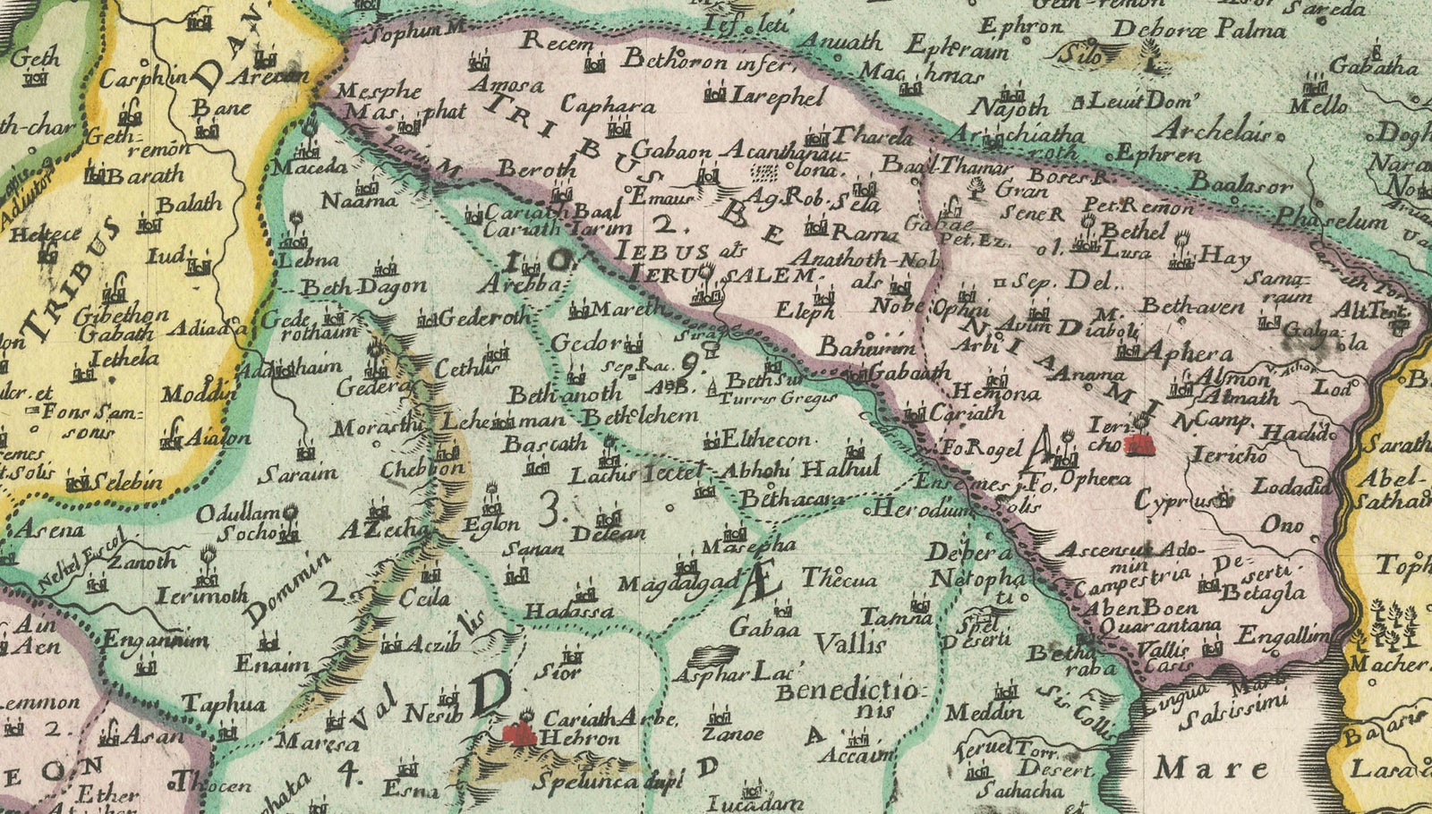
Framed and on the wall
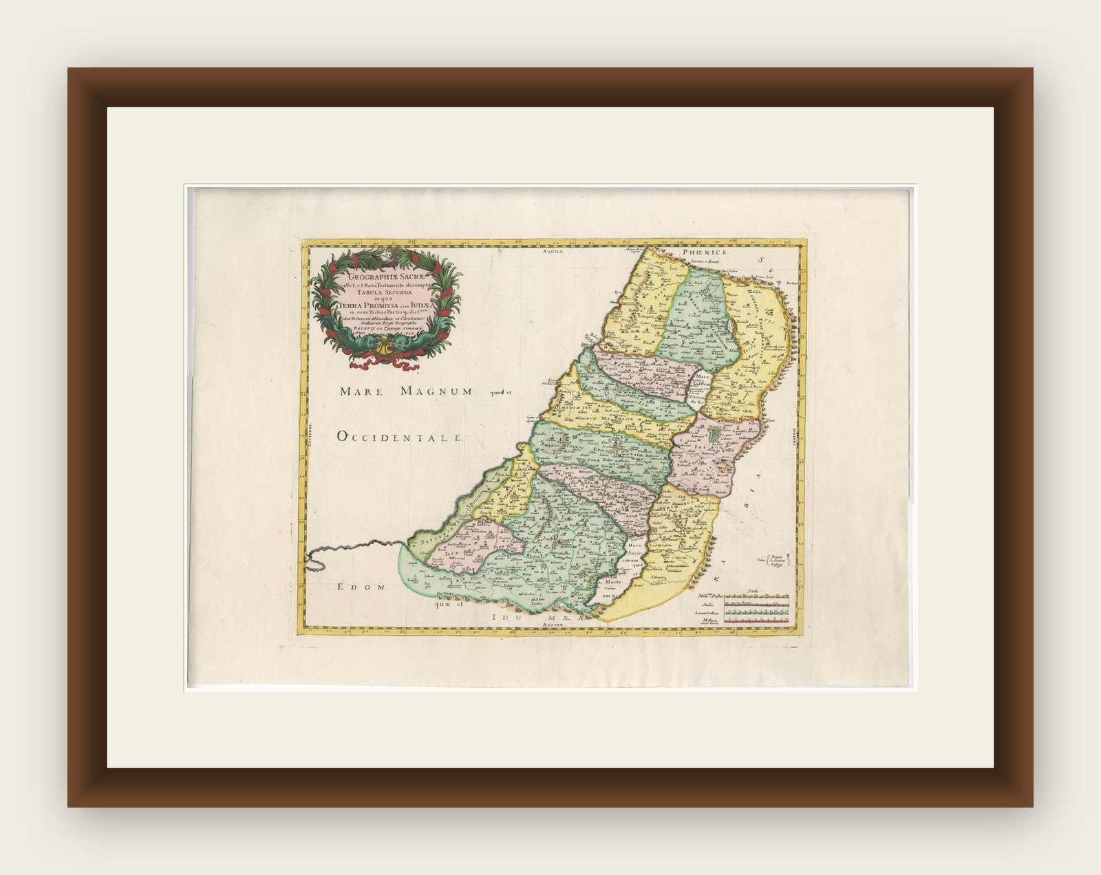
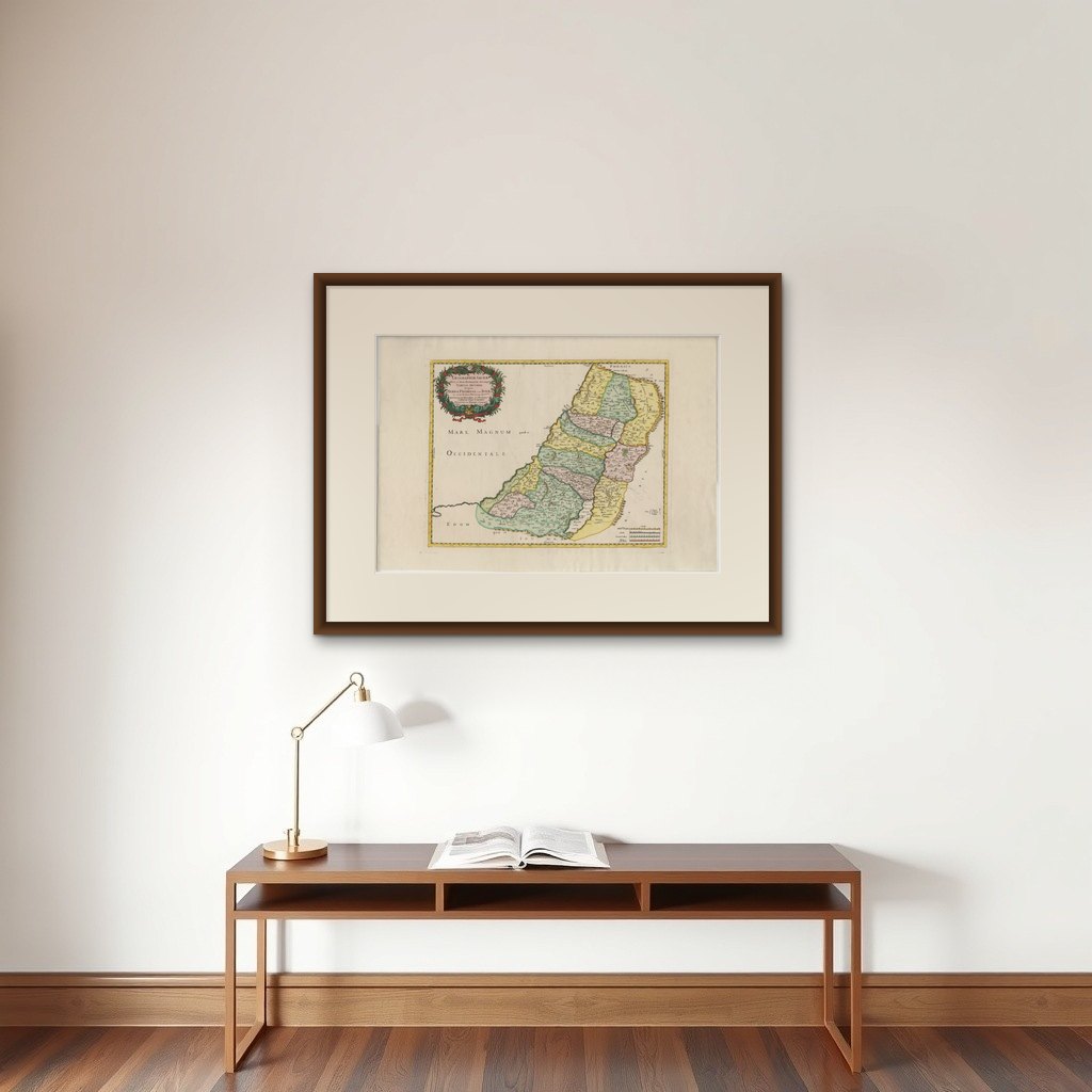

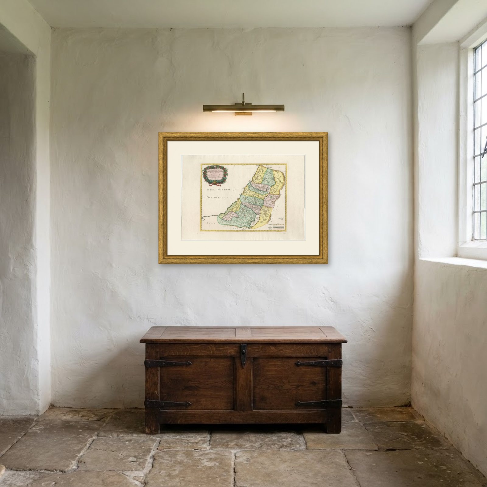
Frame and rooms are illustrations of how the print could look, drawn to its real size; it is sold unframed unless the description says otherwise.
The Holy Land
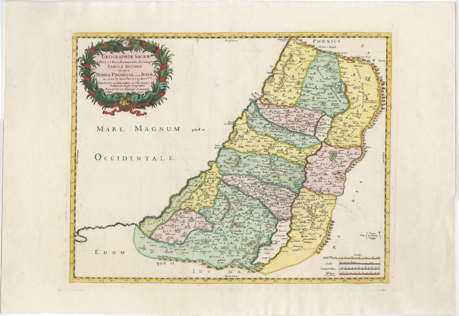
Holy Land Map of the Twelve Tribes of Israel, Sanson, Hand Colored, 1696
Anno Domini MDCXCVI1696
$2,090$1,67020% off
€1,520 · £1,275
Original print, not a reproduction
Ships worldwide from the Netherlands, flat or rolled, insured and tracked. 14-day returns.
- Date
- 1696
- Sheet size
- 18.8 × 27.2 in (47.7 × 69 cm)
- Condition
- Good. Good condition overall. Original hand coloring. Light age toning and minor scattered spotting consistent with age. Central fold as issued. Margins ample. No restorations observed.
- Faith
- Christianity, Judaism
- Collection
- The Holy Land
- Era
- Before 1700, Woodcuts and the great atlases
- Stock no.
- BG-14153-3
What the condition grades mean
- Excellent
- Bright and clean, with no faults worth mentioning.
- Very good
- Only light signs of age, such as faint toning.
- Good
- Normal signs of age for a sheet of this period: toning, some foxing, small marks or neat old repairs.
- Fair
- Clear faults such as staining, tears or repairs, priced to match.
Every fault we see is written in the condition note, and the whole sheet is shown uncropped in the photos.
Holy Land Map of the Twelve Tribes of Israel, Sanson, Hand Colored, 1696
Description:
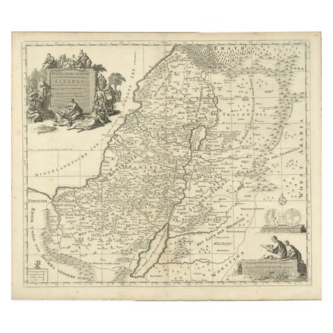
This impressive and richly hand-colored map of the Holy Land depicts the biblical territories of the Twelve Tribes of Israel, published in 1696 by the eminent French cartographer Guillaume Sanson. One of the most influential mapmakers of the late 17th century, Sanson played a central role in shaping modern historical and biblical cartography through clarity, balance, and scholarly rigor.
The map presents Judea, Samaria, Galilee, Idumea, and the Transjordan regions with clearly delineated tribal divisions, dense place-names, and carefully rendered rivers, coastlines, and mountain ranges. The Jordan River and Dead Sea are prominently shown, anchoring the geography both visually and symbolically. Original hand coloring enhances the tribal boundaries while maintaining harmony across the composition.
An elaborate decorative title cartouche with allegorical and biblical figures underscores the sacred and historical significance of the subject. This combination of scholarly precision and decorative appeal is characteristic of Sanson’s work and explains why his Holy Land maps were widely collected and reissued well into the 18th century.
Maps of the Twelve Tribes were fundamental tools for understanding biblical history and were used by theologians, scholars, and educated collectors throughout Europe. Today, fine examples such as this are prized for both their intellectual content and their strong visual presence, making them equally suitable for a private library, study, or prominent interior setting.
This is a confident, display-ready example of late 17th-century French Holy Land cartography by one of its most important makers.
Condition report:
Good condition overall. Original hand coloring. Light age toning and minor scattered spotting consistent with age. Central fold as issued. Margins ample. No restorations observed.
Framing tips:
This map frames beautifully with a walnut or dark oak frame and a wide off-white or parchment mat. For a more classical look, a muted antique gold frame with a narrow profile enhances the hand coloring without overpowering the image.
Technique: Engraving with original hand color
Maker: Guillaume Sanson, Paris, 1696