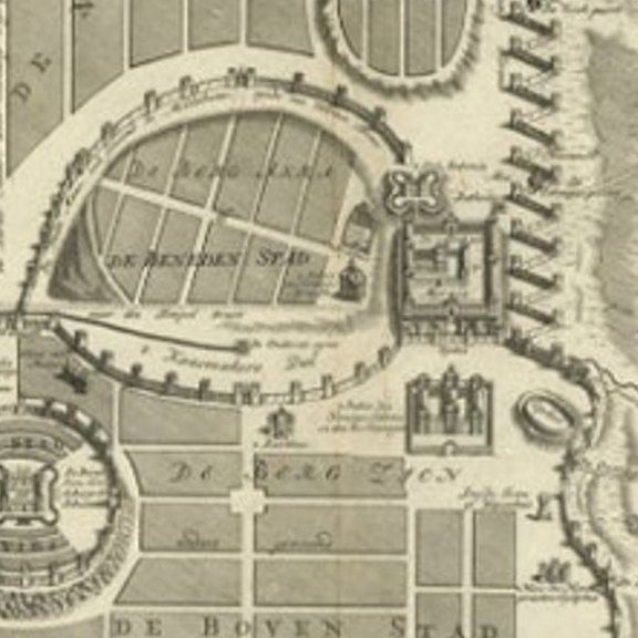
Close-ups
Framed and on the wall

Frame and rooms are illustrations of how the print could look, drawn to its real size; it is sold unframed unless the description says otherwise.
The Holy Land
Bird's-Eye Plan of Jerusalem in Israël, a Rare Original Engraving, 1750
Anno Domini MDCCL1750
£630£44030% off
$575 · €525
Original print, not a reproduction
Ships worldwide from the Netherlands, flat or rolled, insured and tracked. 14-day returns.
- Date
- 1750
- Sheet size
- 19.2 × 15.6 in (48.7 × 39.6 cm)
- Condition
- Good. Given age. Slight discoloration near middle fold. Original middle fold as issued. General age-related toning and/or occasional minor defects from handling. Please study image carefully.
- Faith
- Christianity, Judaism
- Collection
- The Holy Land
- Era
- 1700 to 1799, Mortier, Picart and the illustrated Bible
- Stock no.
- PCT-61452
What the condition grades mean
- Excellent
- Bright and clean, with no faults worth mentioning.
- Very good
- Only light signs of age, such as faint toning.
- Good
- Normal signs of age for a sheet of this period: toning, some foxing, small marks or neat old repairs.
- Fair
- Clear faults such as staining, tears or repairs, priced to match.
Every fault we see is written in the condition note, and the whole sheet is shown uncropped in the photos.
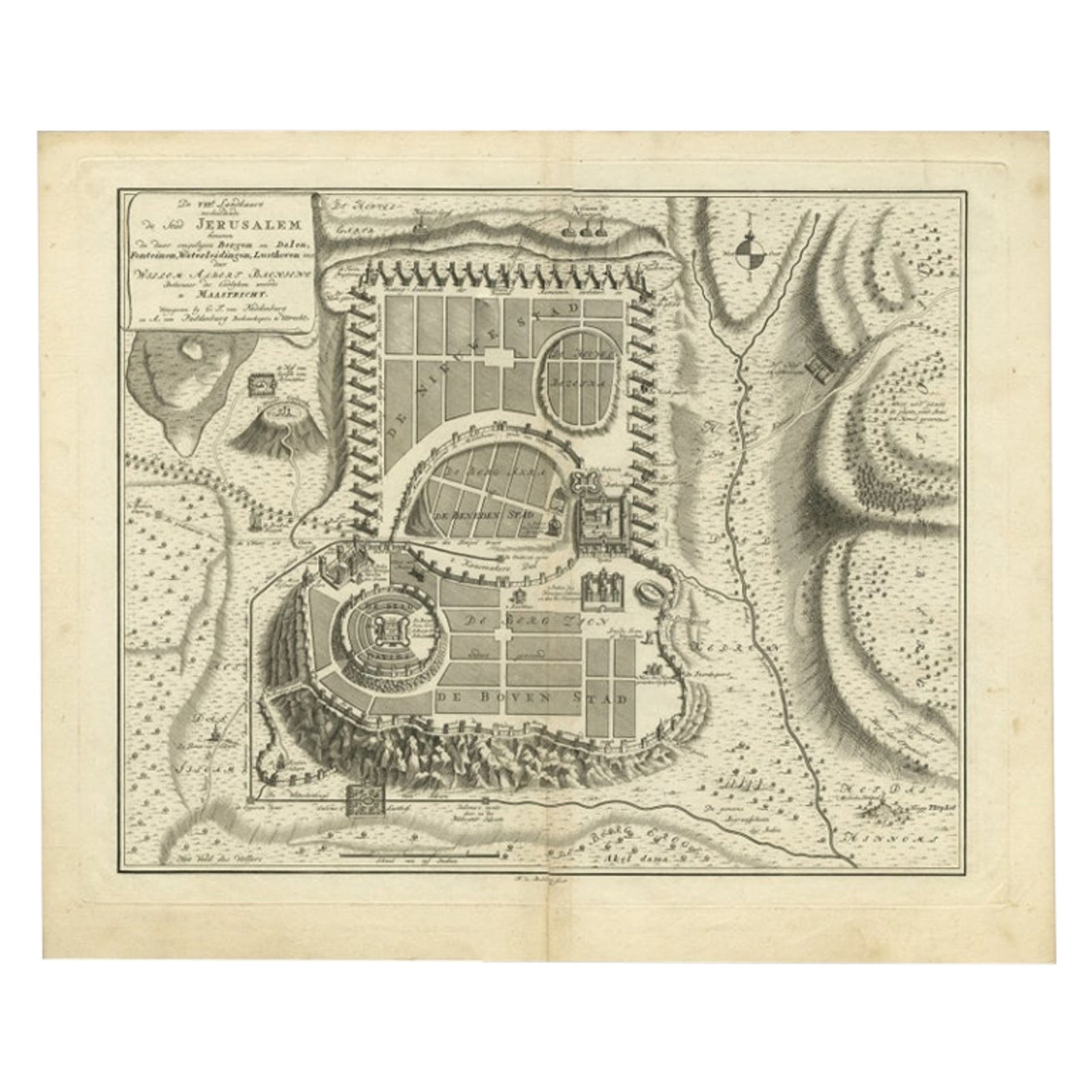
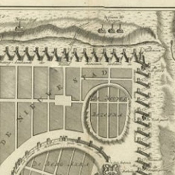
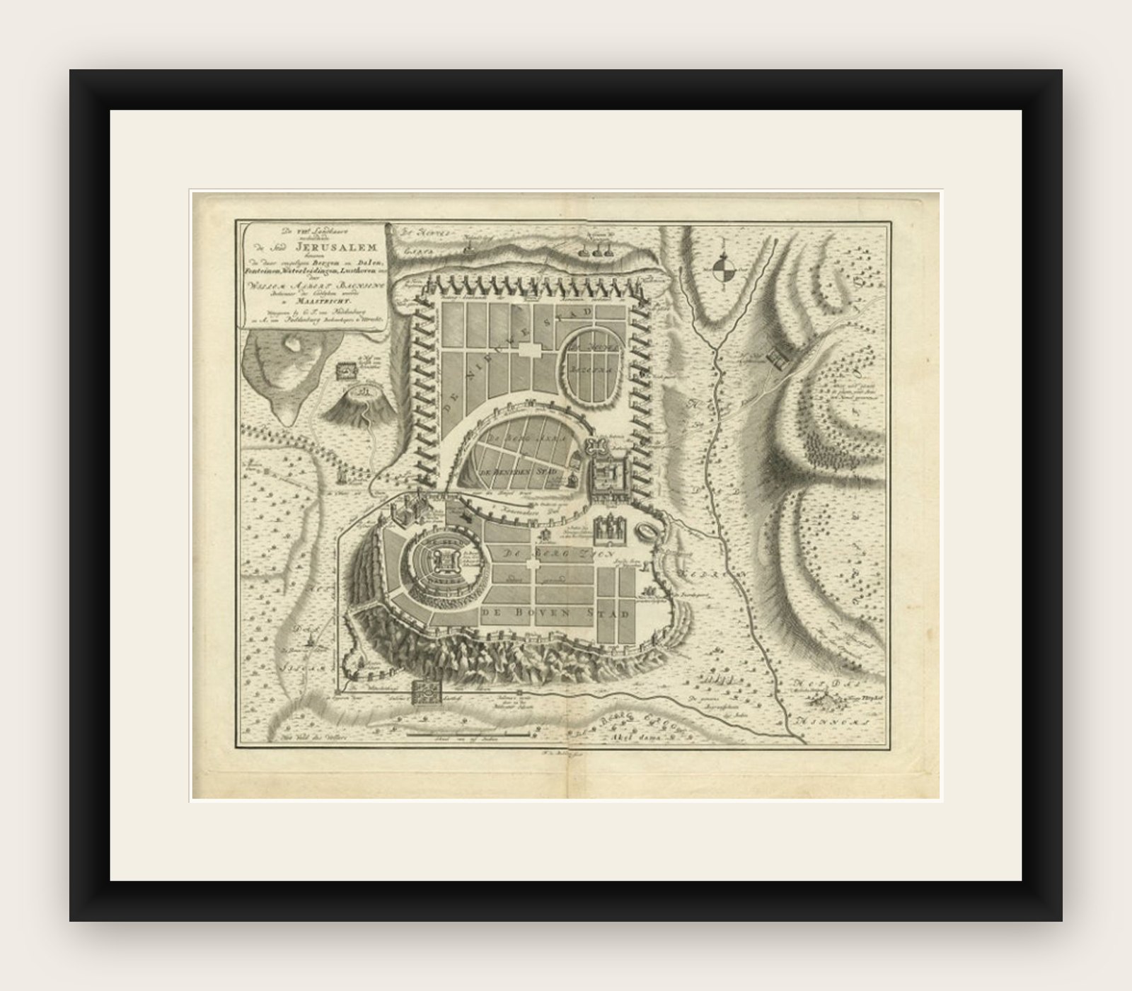
Antique map titled 'De VIIde Landkaart Verbeeldende de Stad Jerusalem Beneven de daar Omgelegen Bergen en Dalen (..).'
Bird's-eye plan of Jerusalem in Israel. This map shows the most important buildings and locations, including the City of David, Golgatha, and the Temple of Mount Moriah. Publisehd by A. van Paddenburg, Netherlands,1750. Artists and Engravers: Made by 'F. de Bakker' after 'Willem Bachiene'. Author: Willem Albert Bachiene (Leerdam 1712, Maastricht 1783). He was a Clergyman in the army and in Namen, Belgium and Kuilenburg (Culemborg). From 1759 he was Clergyman in Maastricht and also Professor in Astronomy and Geography at the 'Illustere School'.
Artist: Made by 'F. de Bakker' after 'Willem Bachiene'. Author: Willem Albert Bachiene (Leerdam 1712, Maastricht 1783). He was a Clergyman in the army and in Namen, Belgium and Kuilenburg (Culemborg). From 1759 he was Clergyman in Maastricht and also Professor in Astronomy and Geography at the 'Illustere School'.
Image size: 40.8 x 32.7 cm.
Explore