Close-ups
Framed and on the wall


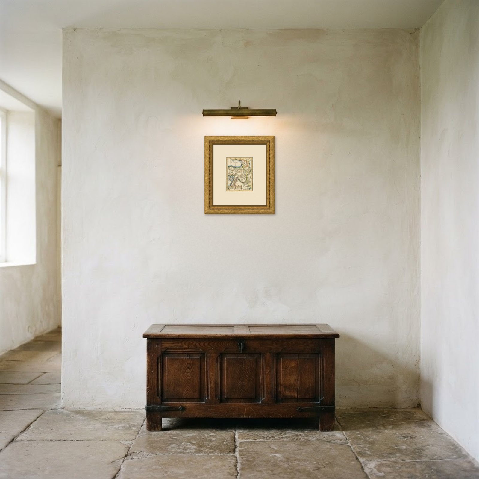
Frame and rooms are illustrations of how the print could look, drawn to its real size; it is sold unframed unless the description says otherwise.
The Holy Land
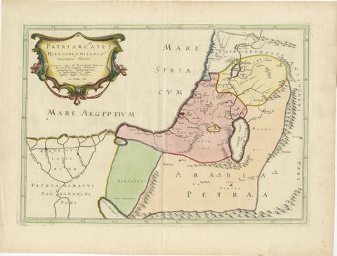
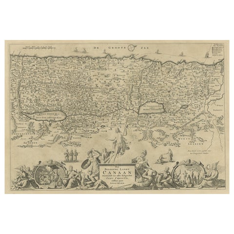
Antique Turkey in Asia Map with Cyprus and the Holy Land, circa 1760
Anno Domini MDCCLXcirca 1750-1770
€195€14725% off
$160 · £125
Original print, not a reproduction
Ships worldwide from the Netherlands, flat or rolled, insured and tracked. 14-day returns.
- Date
- circa 1750-1770
- Sheet size
- 7.7 × 5.9 in (19.5 × 15 cm)
- Technique
- Copper Engraving
- Condition
- Good. Good condition for its age. Old fold lines, light toning, uneven edges and a small nick at the upper edge; old pencil date to the upper margin. Please review the images for further condition details.
- Faith
- Christianity, Judaism
- Collection
- The Holy Land
- Era
- 1700 to 1799, Mortier, Picart and the illustrated Bible
- Stock no.
- BG-14279-12
What the condition grades mean
- Excellent
- Bright and clean, with no faults worth mentioning.
- Very good
- Only light signs of age, such as faint toning.
- Good
- Normal signs of age for a sheet of this period: toning, some foxing, small marks or neat old repairs.
- Fair
- Clear faults such as staining, tears or repairs, priced to match.
Every fault we see is written in the condition note, and the whole sheet is shown uncropped in the photos.
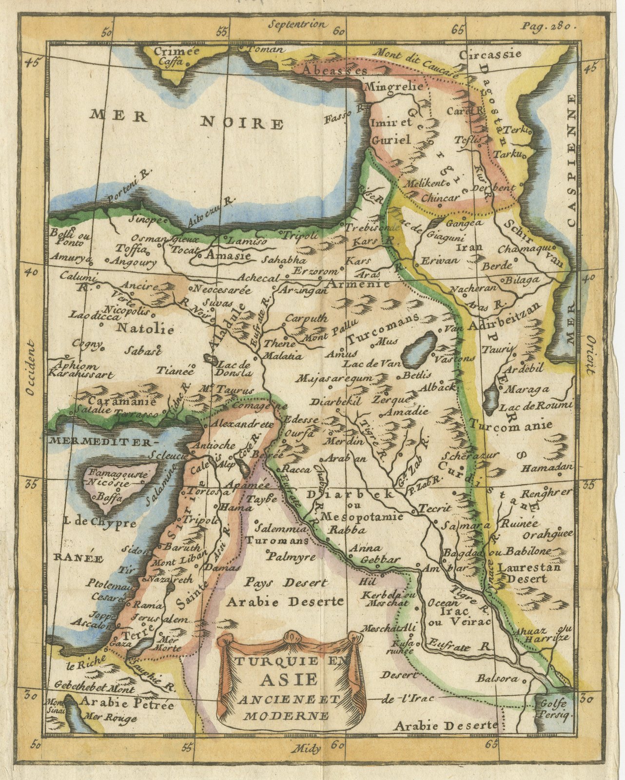
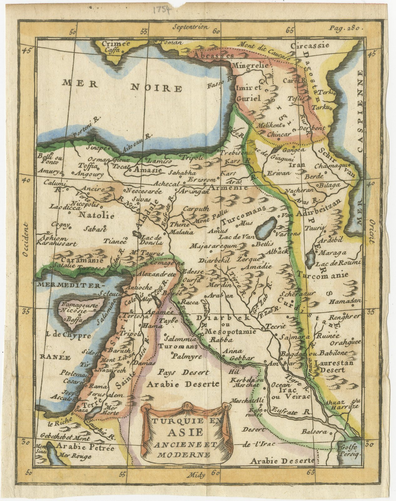
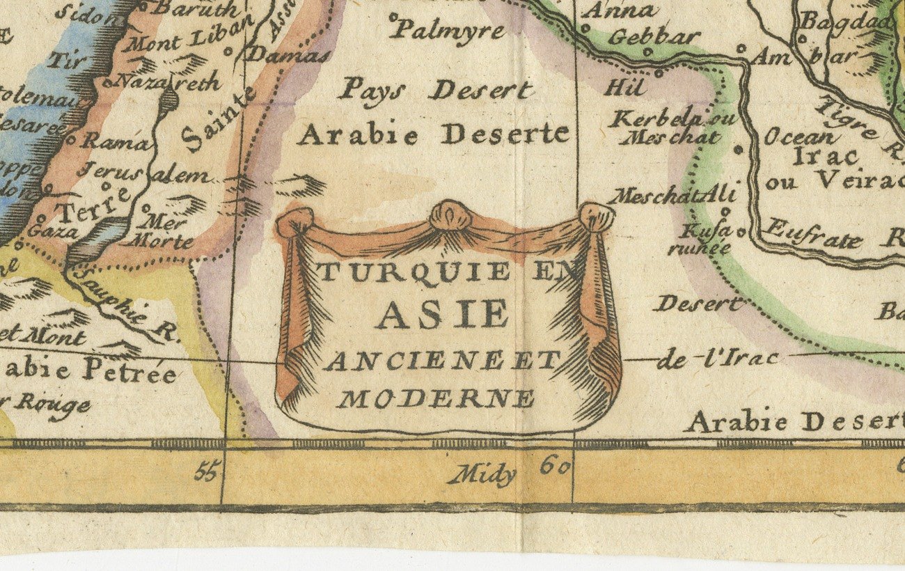
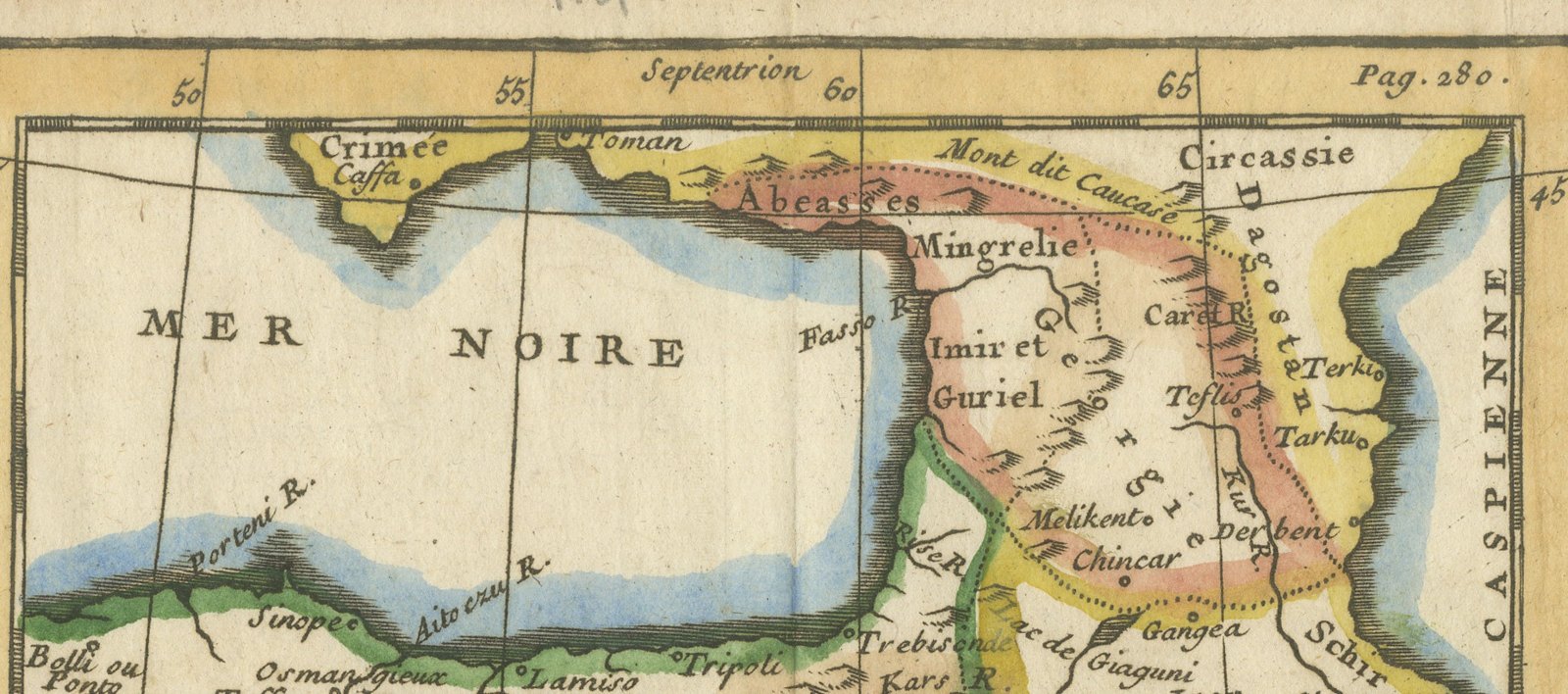
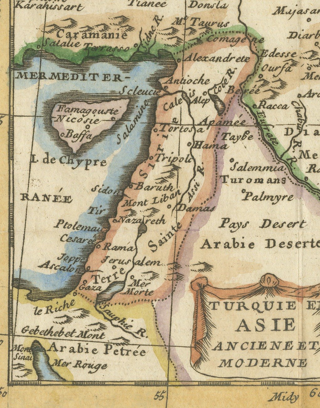
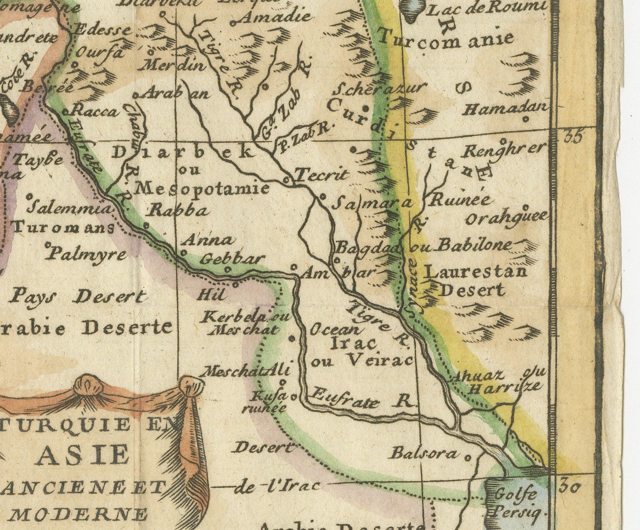
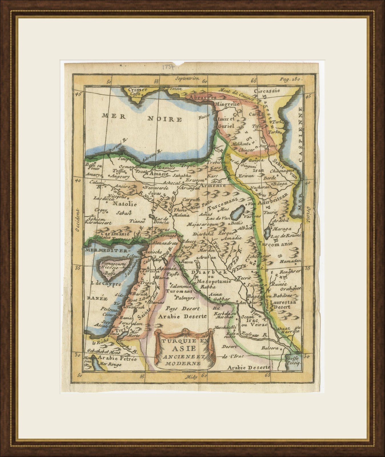
This small antique map of Turkey in Asia, titled Turquie en Asie ancienne et moderne, is believed to come from the Jesuit Claude Buffier's Géographie universelle, published in Paris in the middle of the eighteenth century. It carries the page reference Pag. 280 in the upper margin and a draped cartouche in the lower center.
The map covers Anatolia, Armenia, Georgia and the Caucasus, Syria, the Holy Land and Mesopotamia, from the Black Sea and the Crimea south to the Arabian desert and the head of the Persian Gulf. Names such as Natolie, Caramanie, Erzerom, Diarbekir, Alep, Jerusalem, Bagdad ou Babilone and Balsora sit beside Kerbela and Meschat Ali, and the island of Cyprus appears with Famagouste and Nicosie. A pencilled date of 1754 appears above the upper border, and the map is colored by hand in yellow, pink and blue.
Claude Buffier was a Jesuit scholar whose Géographie universelle, first published in Paris in the early eighteenth century, went through many editions and translations. Its small engraved maps, printed on the text pages of a pocket sized volume, were intended to help students memorise countries and their principal towns, and each map carries a page reference in the upper margin to link it to the relevant chapter. The style, with a draped cartouche and a graduated border, is simple, clear and decorative.
As an eighteenth century view of the Ottoman lands in Asia, this pocket map is an affordable and attractive introduction to early maps of Turkey, Syria and Iraq, and it looks particularly well in a small frame or in a group of related maps. Beyond its decorative appeal, a map of this kind records the place names, routes and political divisions known to travelers, merchants and scholars of its day, which gives it lasting value as a historical document.
The sheet is in good condition for its age, with old fold lines, light toning and uneven edges, a small nick at the top and an old pencil date in the upper margin.
This is an original antique map, not a modern reproduction. This item is sold unframed.
Explore