Close-ups
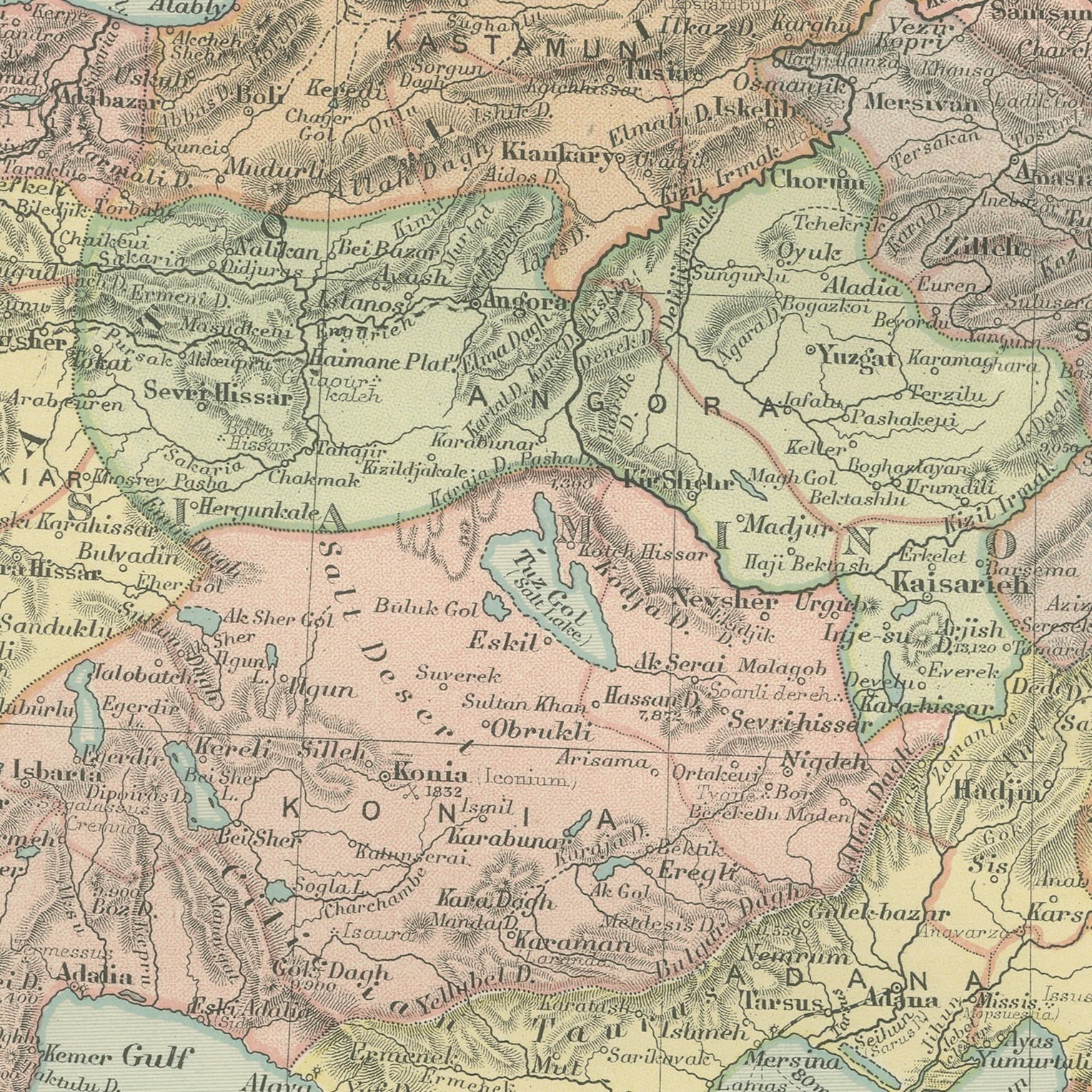

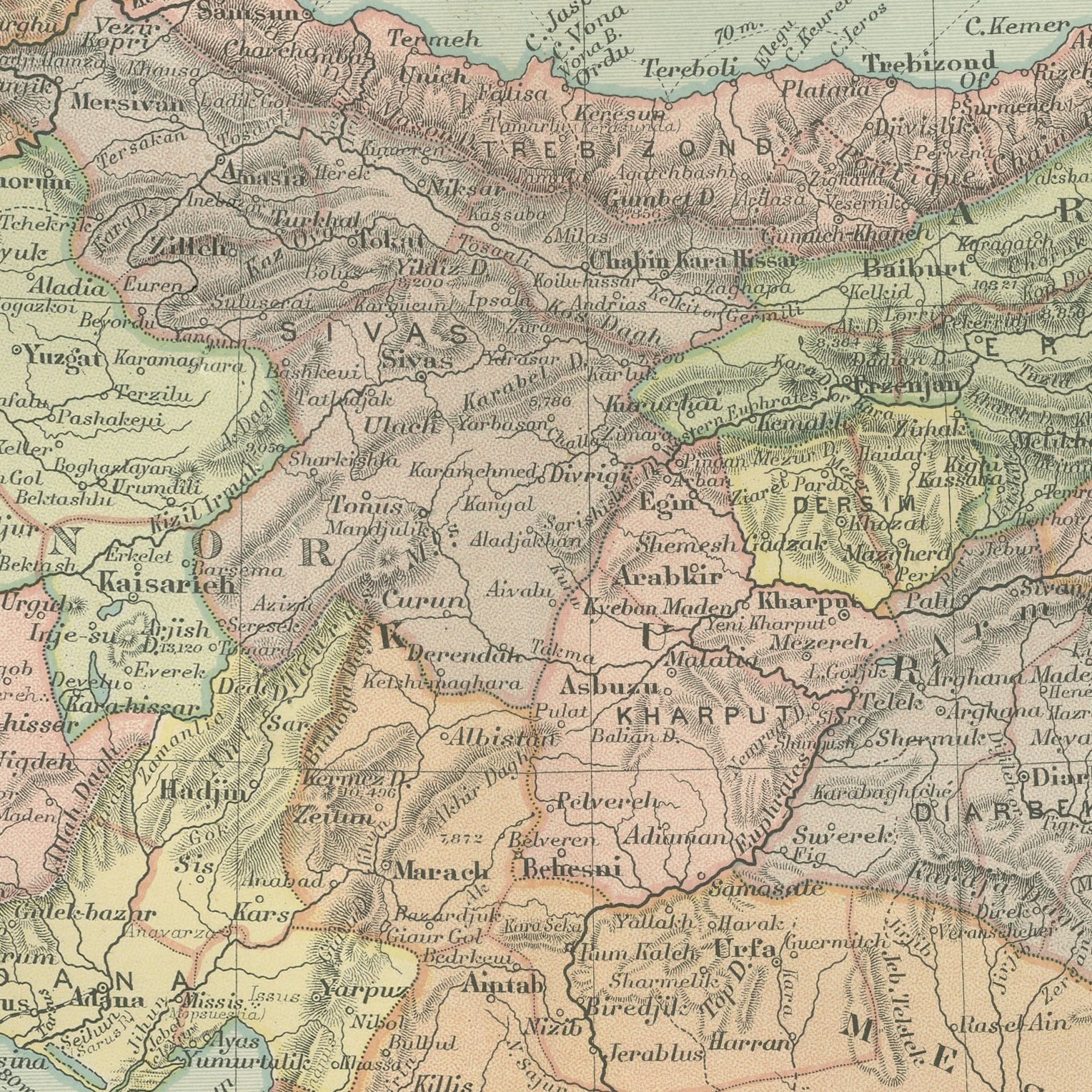
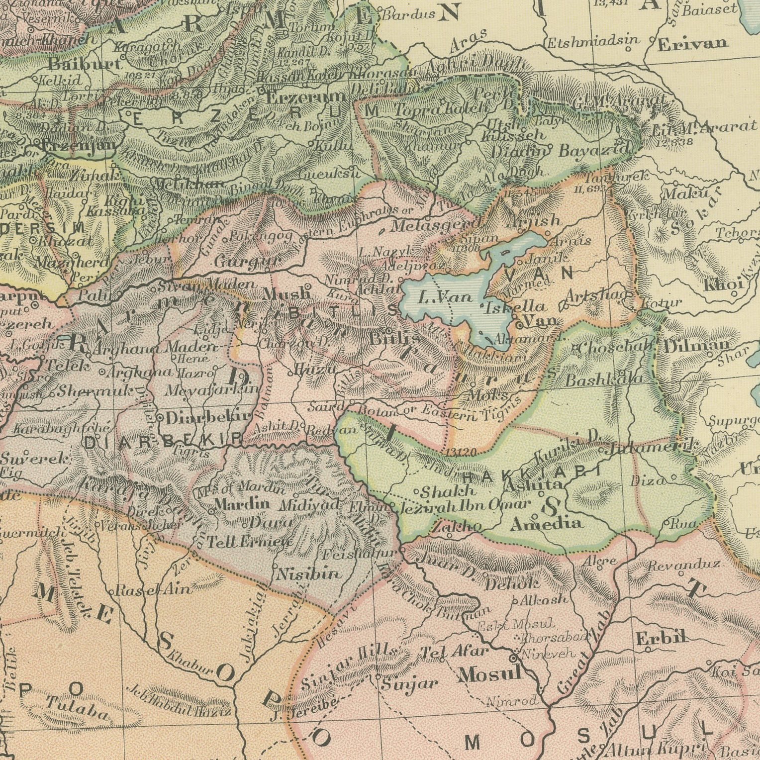
Framed and on the wall
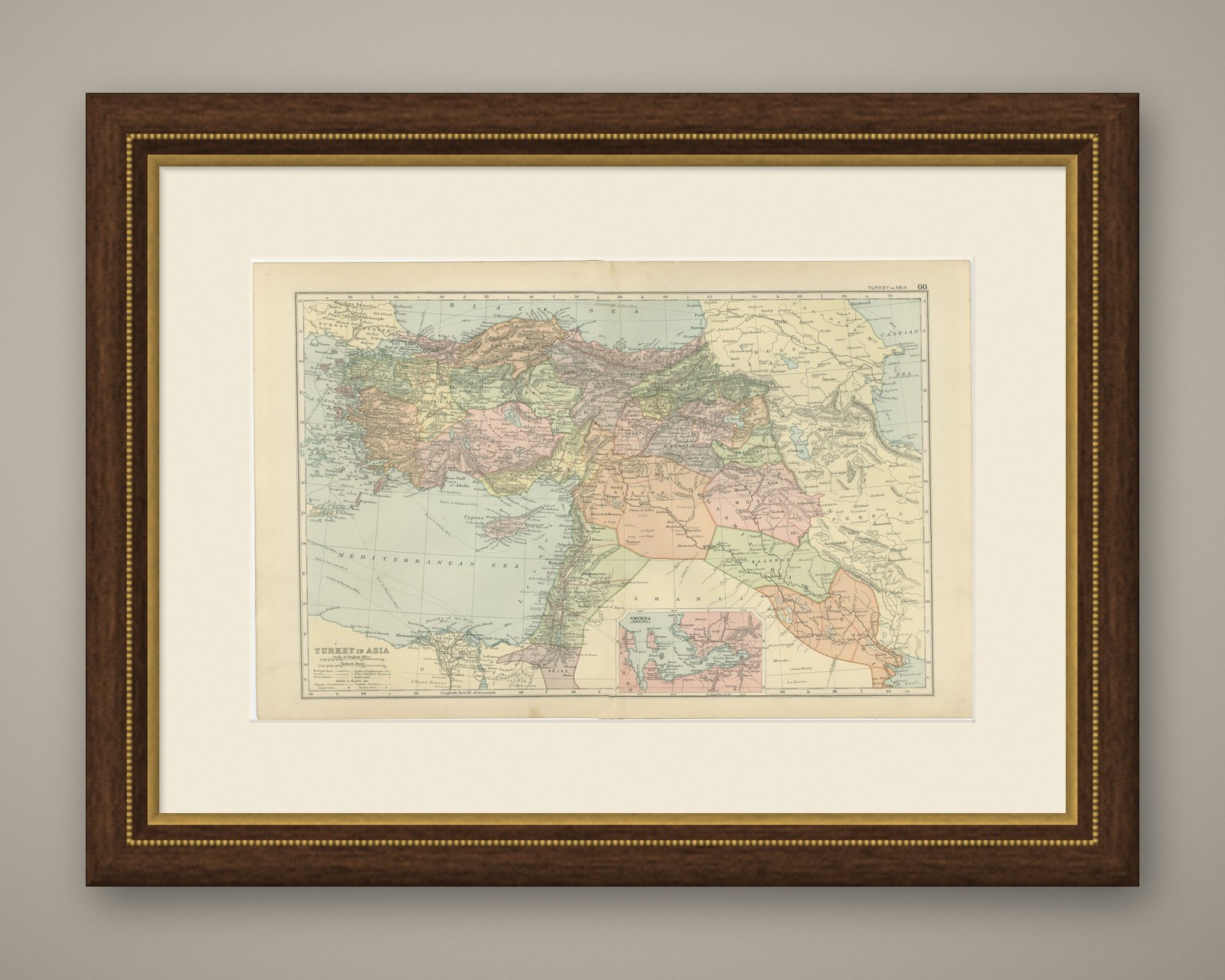
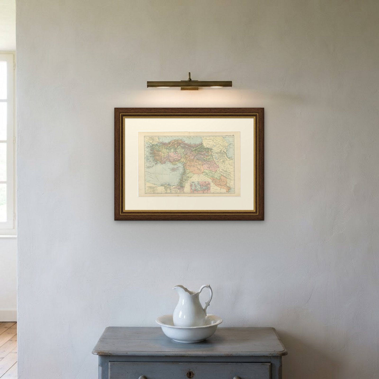
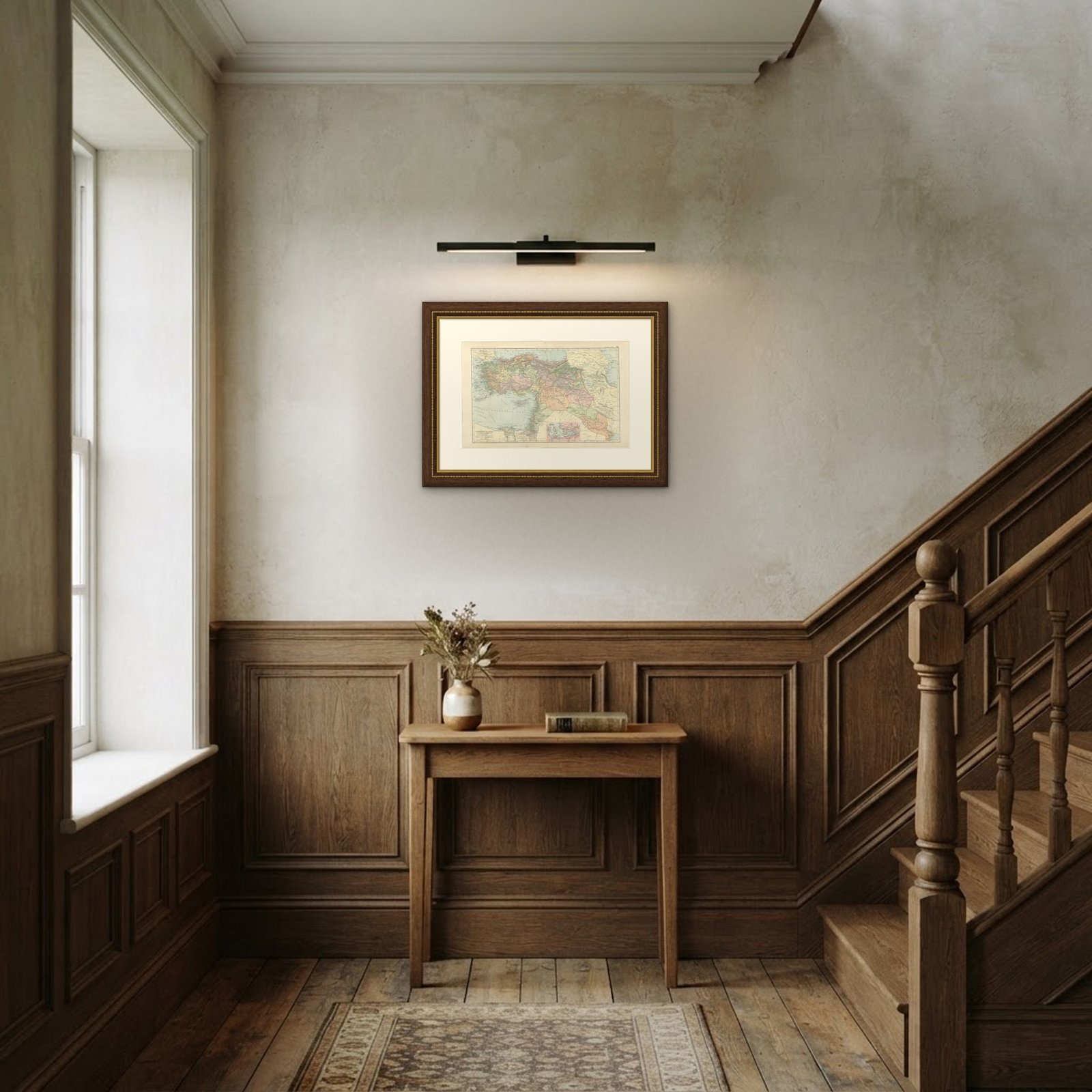
Frame and rooms are illustrations of how the print could look, drawn to its real size; it is sold unframed unless the description says otherwise.
The Holy Land
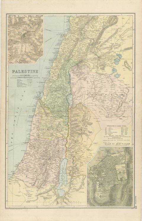
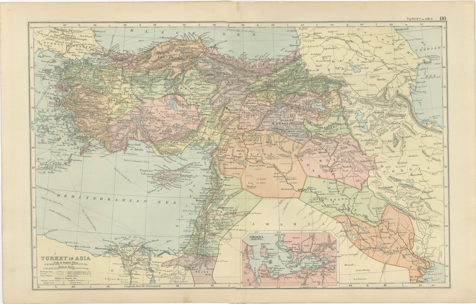
Antique Map of Turkey in Asia, Mesopotamia and the Holy Land, 1898
Anno Domini MDCCCXCVIII1898
€290
$320 · £245
Original print, not a reproduction
Ships worldwide from the Netherlands, flat or rolled, insured and tracked. 14-day returns.
- Date
- 1898
- Sheet size
- 13.4 × 21.3 in (34 × 54 cm)
- Technique
- Lithograph
- Coloring
- Printed color
- Condition
- Good. Light overall age toning, with light handling wear at the top left and bottom left corners. The printed image itself is clean.
- Faith
- Christianity, Judaism
- Collection
- The Holy Land
- Era
- 1850 and after, Chromolithographs and devotional prints
- Stock no.
- BG-06675-66
What the condition grades mean
- Excellent
- Bright and clean, with no faults worth mentioning.
- Very good
- Only light signs of age, such as faint toning.
- Good
- Normal signs of age for a sheet of this period: toning, some foxing, small marks or neat old repairs.
- Fair
- Clear faults such as staining, tears or repairs, priced to match.
Every fault we see is written in the condition note, and the whole sheet is shown uncropped in the photos.
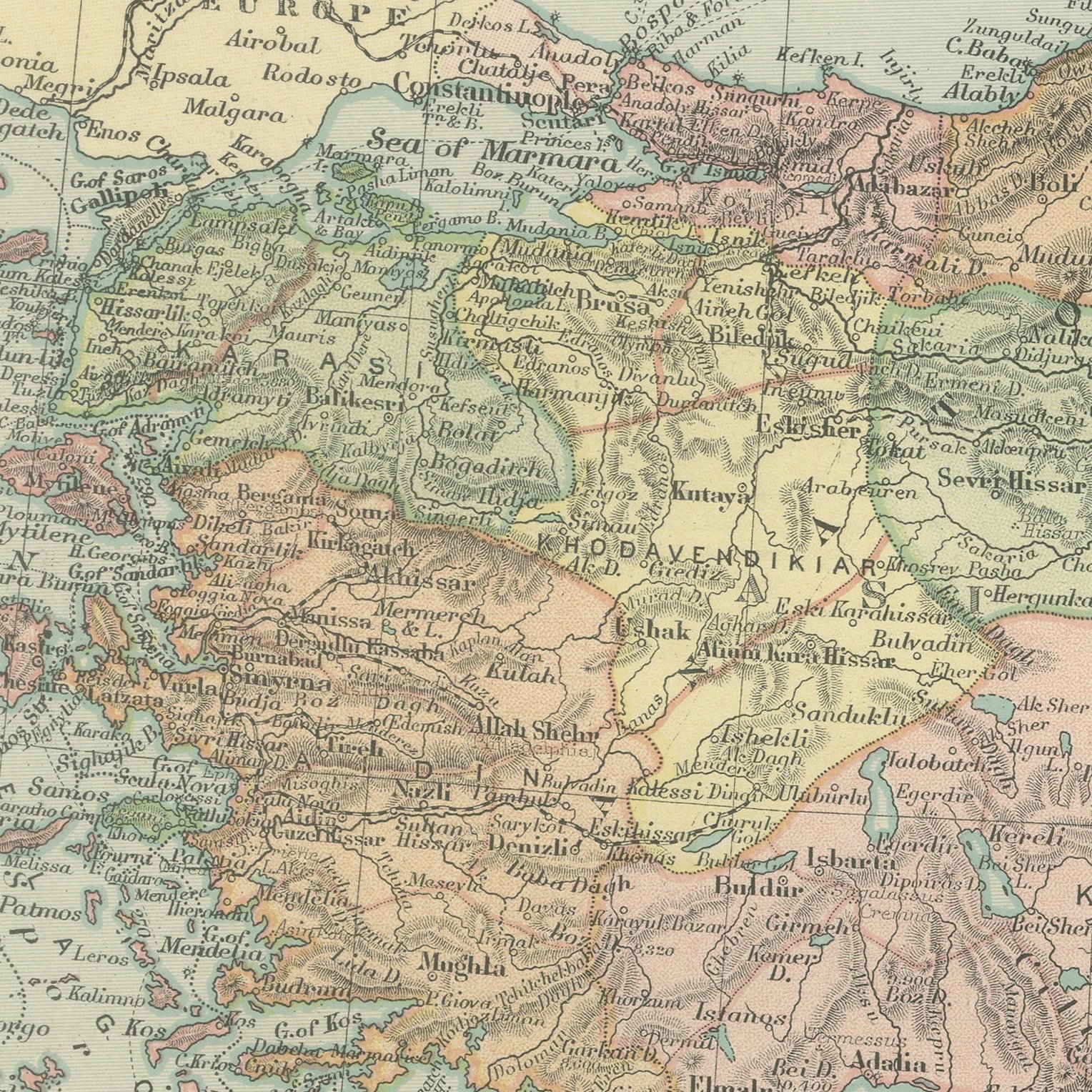
Original antique map of Turkey in Asia from the 1898 Commercial and Library Atlas of the World, edited by G. W. Bacon in London and printed in color. The double page runs from the Aegean to the Persian frontier and from the Black Sea to the Arabian desert, covering Asia Minor, Armenia, Kurdistan, Syria, Palestine and Mesopotamia, with the Ottoman vilayets separately colored, the caravan routes drawn across the desert and the first Anatolian railways marked. An inset gives Smyrna and its gulf.
The sheet comes from the Commercial and Library Atlas of the World with Index-Gazetteer, edited by George Washington Bacon, Fellow of the Royal Geographical Society, and published in London by G. W. Bacon and Company, Limited, of 127 Strand, in 1898. The atlas gathered one hundred double page maps and one hundred inset maps with an alphabetical index of fifty thousand places and a gazetteer of two thousand towns, and it was sold to merchants, shipping houses and subscription libraries that needed the world kept current rather than kept beautiful.
Every modern state of the Near East is inside the boundaries on this sheet, because none of them existed yet: Iraq is Baghdad, Basra and Mosul, Syria and Lebanon are Ottoman provinces, and the Hejaz railway had not been begun. Maps of the region from the last Ottoman decades are steadily collected for that reason. The sheet also names the classical sites along the Anatolian coast, which gives it an appeal to readers of ancient history.
Light overall age toning, with light handling wear at the top left and bottom left corners. The printed image itself is clean.
A map like this rewards close looking, so hang it where people pass near it: a hall, a landing, a study or a meeting room. The printed color is soft and the lettering fine, and it sits comfortably beside both antique and modern furniture. This is an original antique map, not a modern reproduction. This item is sold unframed.
Explore