29.6 cm · 11.7 in
43.2 cm · 17 in
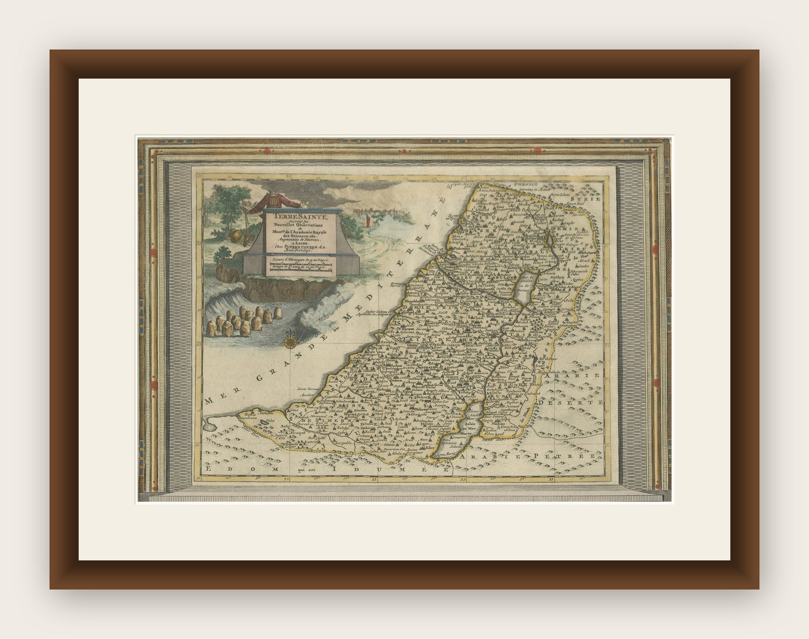
Framed and on the wall
Frame and rooms are illustrations of how the print could look, drawn to its real size; it is sold unframed unless the description says otherwise.
The Holy Land
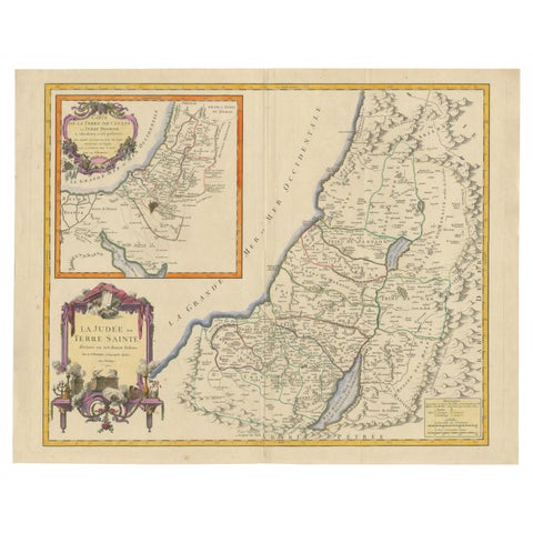
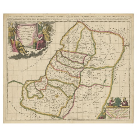
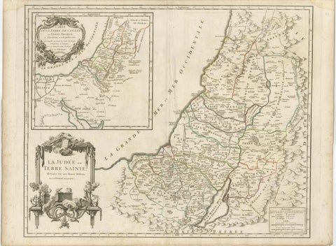
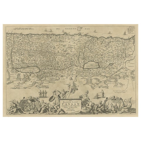
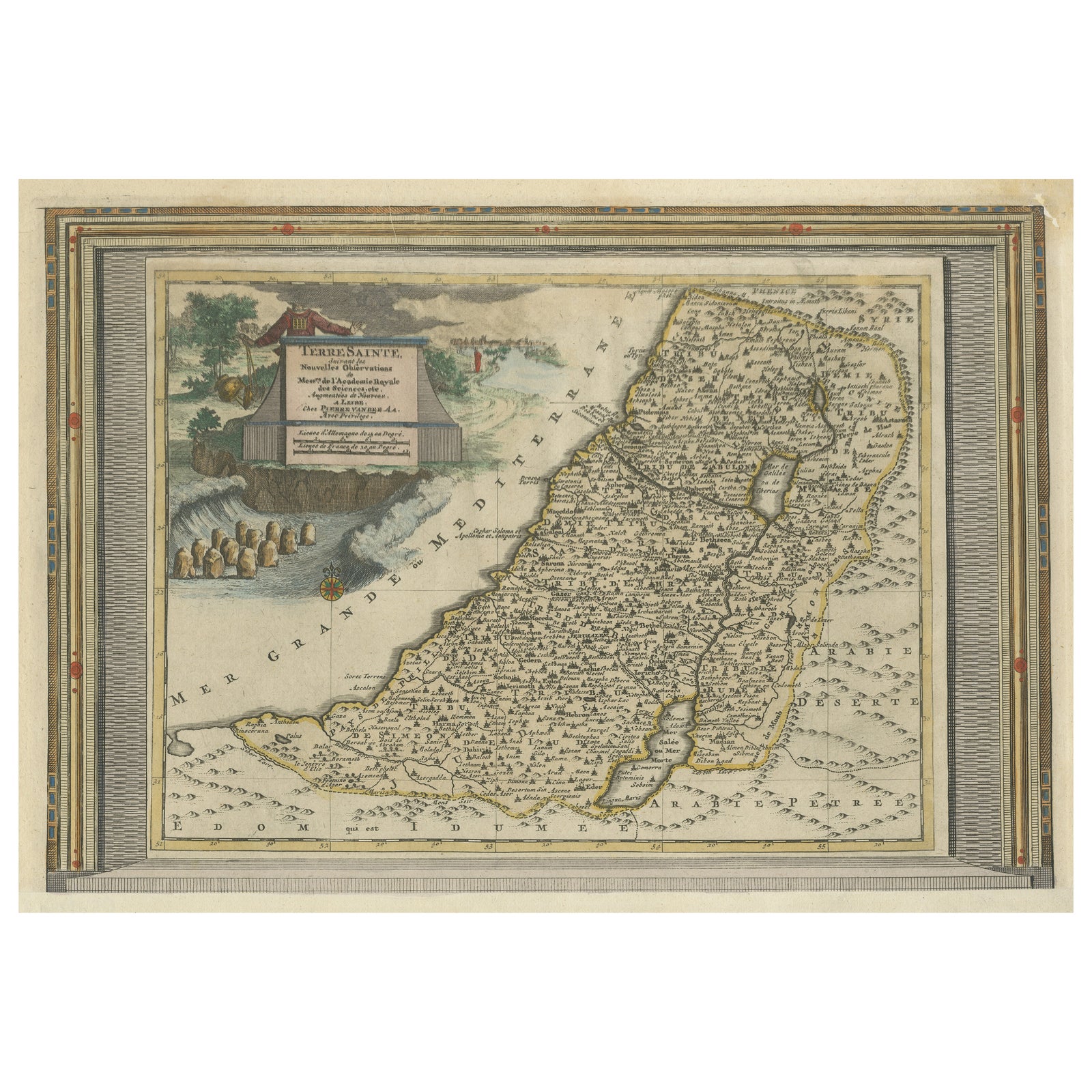
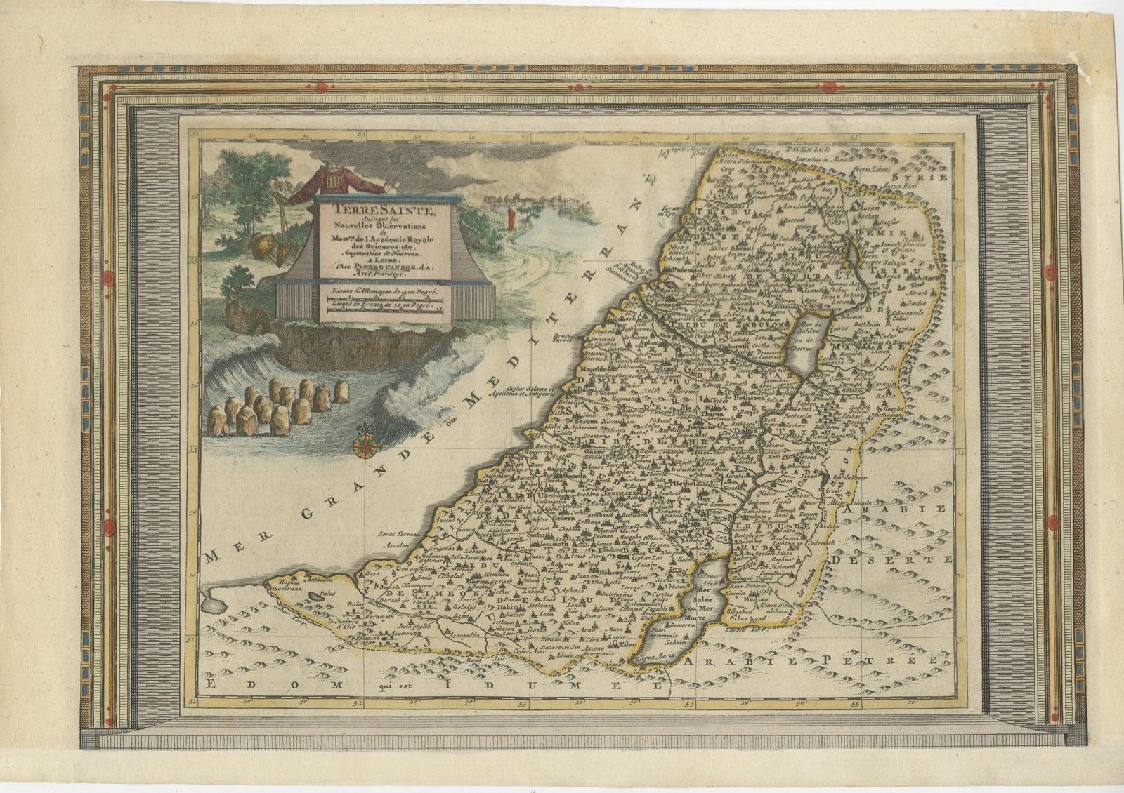
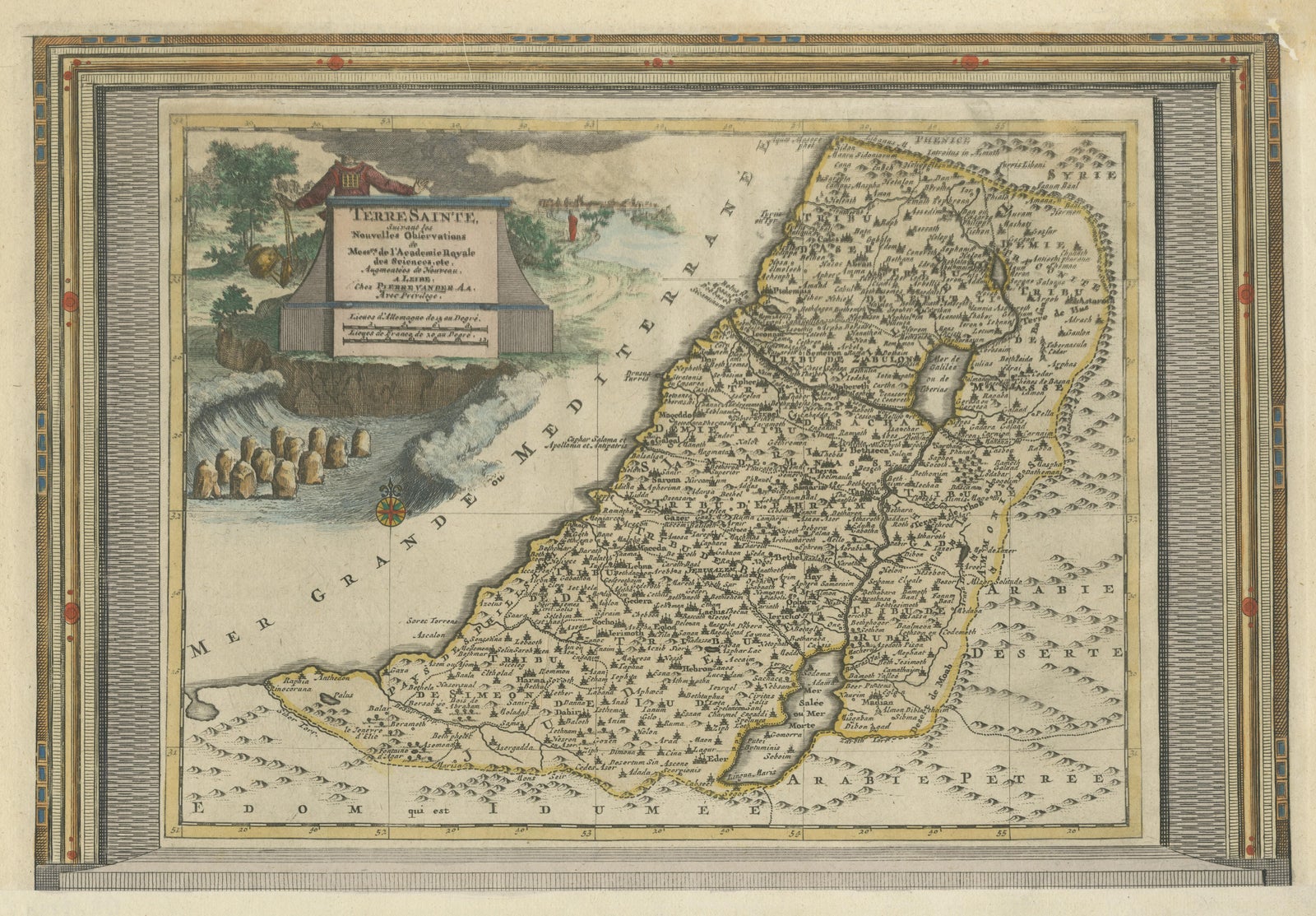
Antique Map of the Holy Land with Picture Frame Border
$990
€880 · £745
Original print, not a reproduction
Ships worldwide from the Netherlands, flat, insured and tracked. 14-day returns. To buy, use Ask a question (info@antiquesacredprints.com) and we will reserve it for you.
- Date
- Not stated
- Sheet size
- 11.7 × 17 in (29.6 × 43.2 cm)
- Condition
- Good. Repaired: Repair top right, sl. affecting image. Bottom margin extended. General age-related toning. Shows some wear and creasing. Blank verso. Please study image carefully.
- Faith
- Christianity, Judaism
- Collection
- The Holy Land
- Stock no.
- f_35996852
Antique map titled 'Terre Sainte Suivant les Nouvelles Observations (..)'. Original old map of the Holy Land with the picture frame border. The term "Holy Land" usually refers to a territory roughly corresponding to the modern State of Israel and the Palestinian territories. Originates from 'Nouvelle Theatre Du Monde' published by P. van der Aa, 1713.