Close-ups
Framed and on the wall
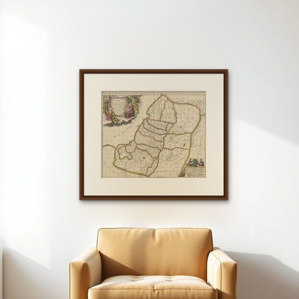
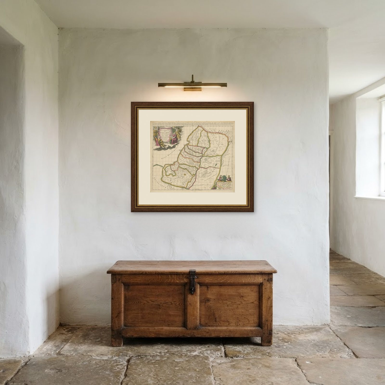
Frame and rooms are illustrations of how the print could look, drawn to its real size; it is sold unframed unless the description says otherwise.
The Holy Land
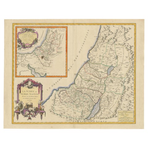
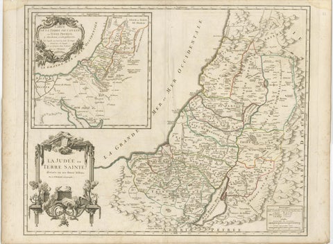
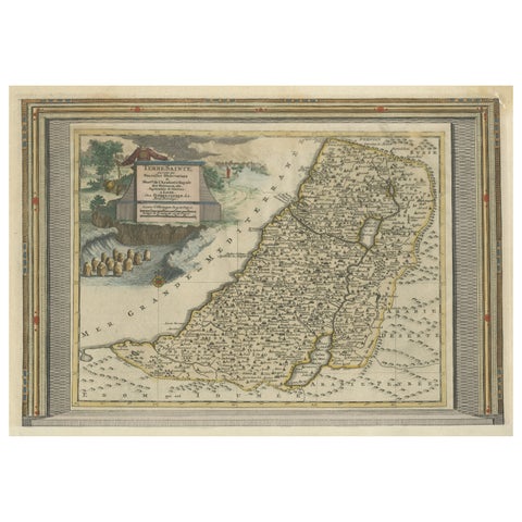
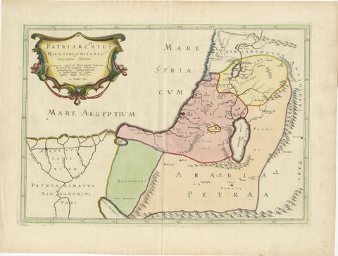
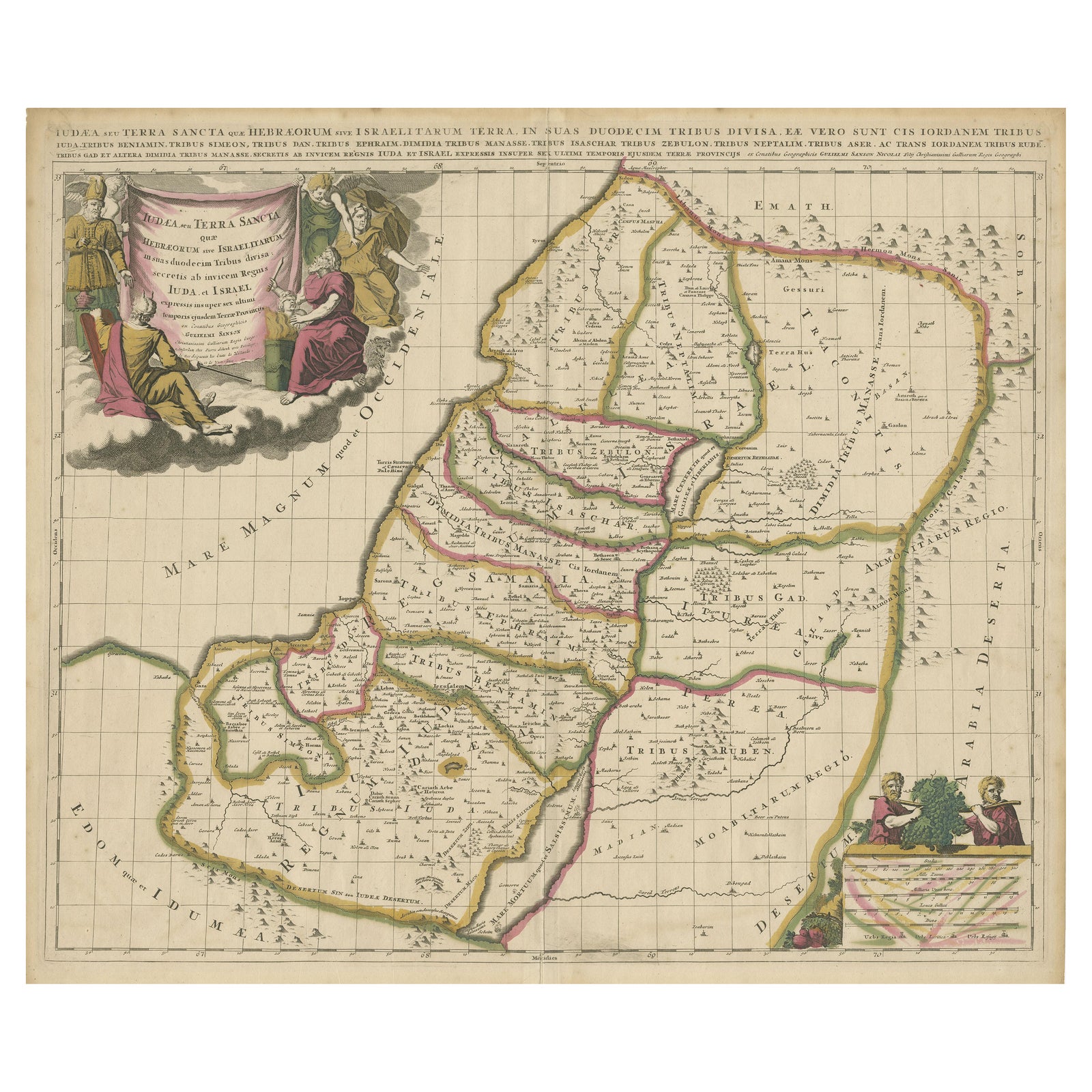
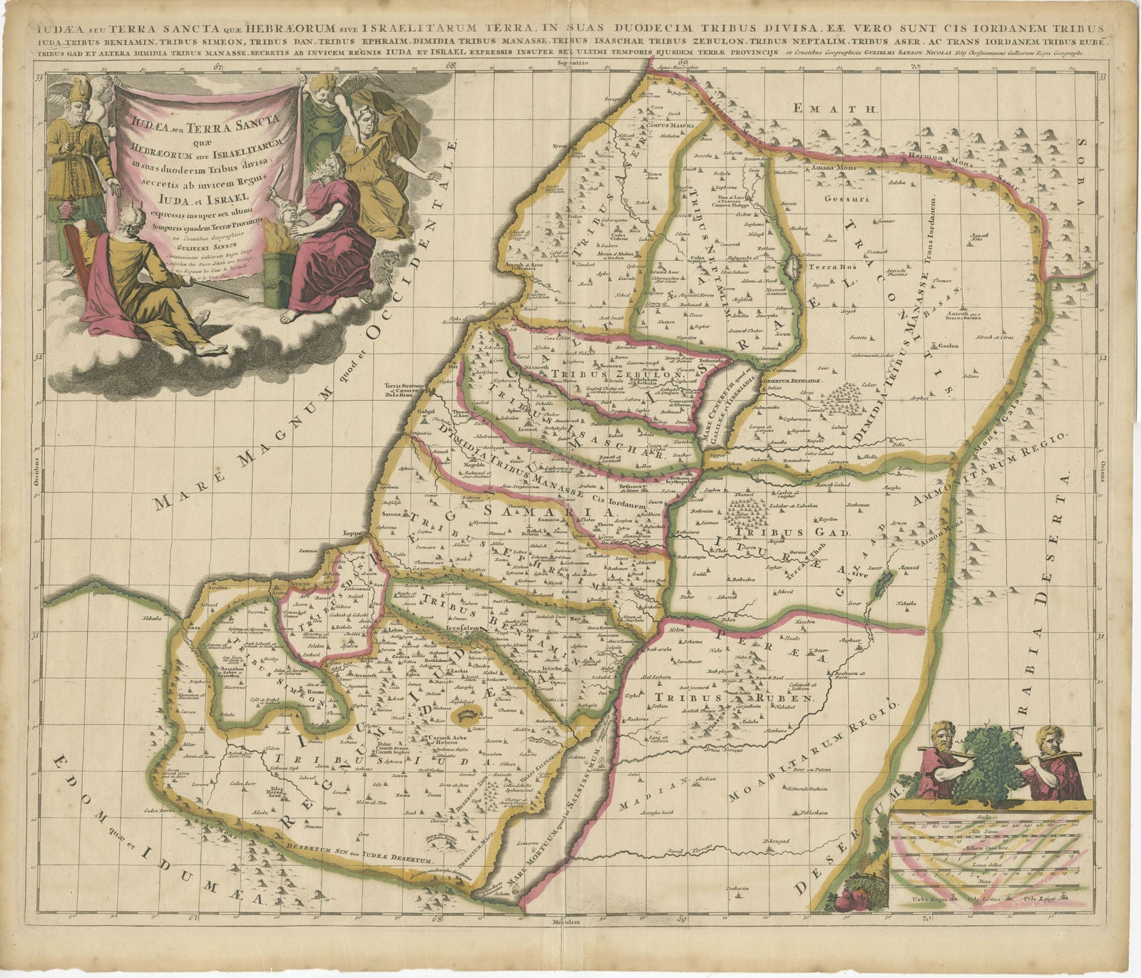
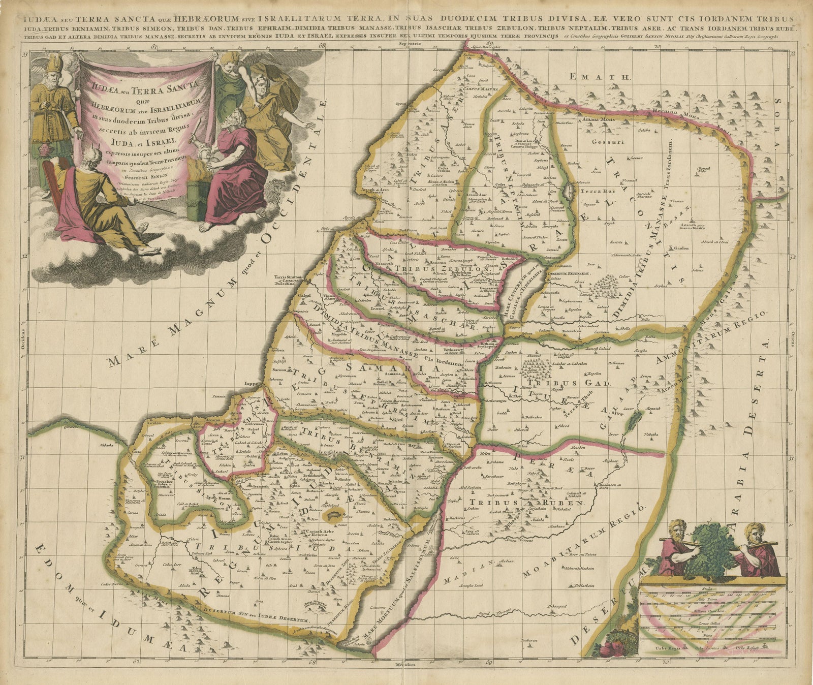
Antique Map of the Holy Land, Showing the Location of the Various Tribes
£1,005£80520% off
$1,055 · €960
Original print, not a reproduction
Ships worldwide from the Netherlands, flat or rolled, insured and tracked. 14-day returns.
- Date
- Not stated
- Sheet size
- 20.5 × 23.8 in (52 × 60.5 cm)
- Condition
- Fair. Original/contemporary hand coloring. Original folding line. Shows some wear and soiling. Few defects along green outline coloring. Blank verso. Pieces of tape on verso. Please study image carefully.
- Faith
- Christianity, Judaism
- Collection
- The Holy Land
- Stock no.
- BG-13323-2
What the condition grades mean
- Excellent
- Bright and clean, with no faults worth mentioning.
- Very good
- Only light signs of age, such as faint toning.
- Good
- Normal signs of age for a sheet of this period: toning, some foxing, small marks or neat old repairs.
- Fair
- Clear faults such as staining, tears or repairs, priced to match.
Every fault we see is written in the condition note, and the whole sheet is shown uncropped in the photos.
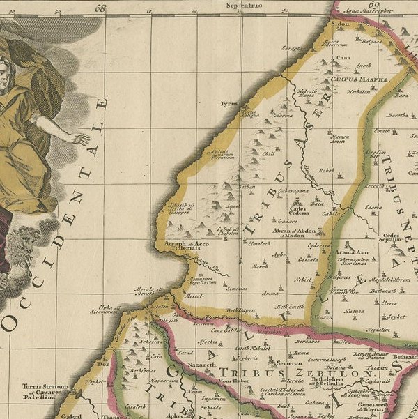
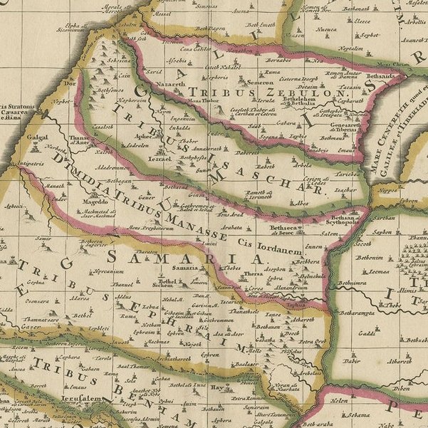
Antique map titled 'Judaea seu Terra Sancta quae Hebraeorum sive Israelitarum (..)'. Map of The Holy Land, showing the location of the various tribes, in two kingdoms, Judah and Israel as well as in six provinces. Shows Palestine on both sides of the Jordan, the shore line running from Sidon to Gaza. An extensive title added along the top. The cartouche in the upper left is surrounded by three men, the upper left Moses. Abraham readying himself to sacrifice his son, Isaac, on the right side, and Aaron, the High Priest, on the left side. In the bottom right hand corner, an illustration showing the two spies of Moses carrying the oversized bunch of grapes.
Artist: Nicolas Sanson. Published circa 1700. Nicolas Sanson (20 December 1600 to 7 July 1667) was a French cartographer who served under two kings in matters of geography. He has been called the "father of French cartography.