Close-ups
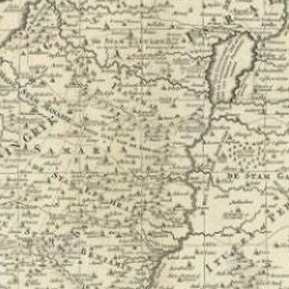
Framed and on the wall
Frame and rooms are illustrations of how the print could look, drawn to its real size; it is sold unframed unless the description says otherwise.
The Holy Land
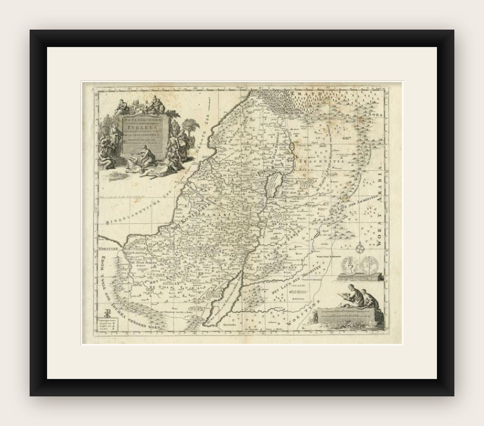
Antique Map of the Holy Land by Van Luchtenburg, c.1720
Anno Domini MDCCXX1720
£120
$160 · €140
Original print, not a reproduction
Ships worldwide from the Netherlands, flat, insured and tracked. 14-day returns. To buy, use Ask a question (info@antiquesacredprints.com) and we will reserve it for you.
- Date
- 1720
- Sheet size
- 17.7 × 20.9 in (45 × 53 cm)
- Condition
- Fair
- Faith
- Christianity, Judaism
- Collection
- The Holy Land
- Era
- 1700 to 1799, Mortier, Picart and the illustrated Bible
- Stock no.
- f_27797262
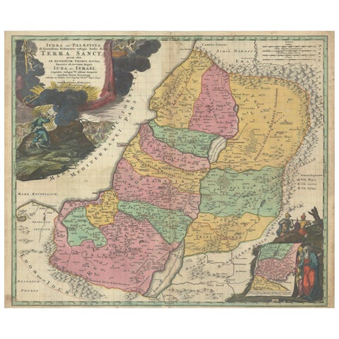
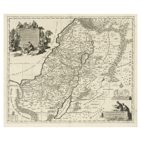
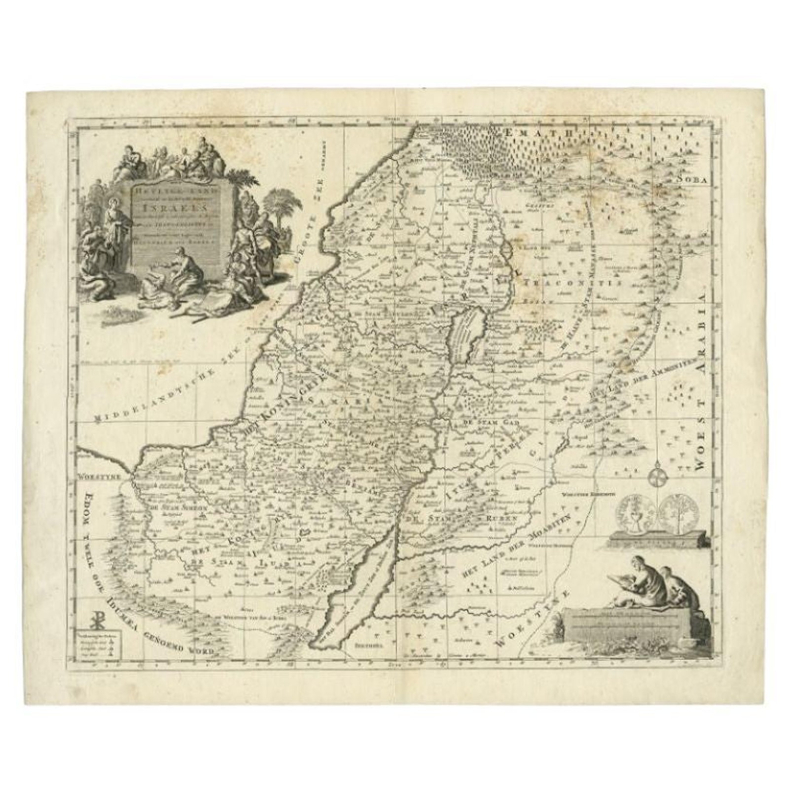
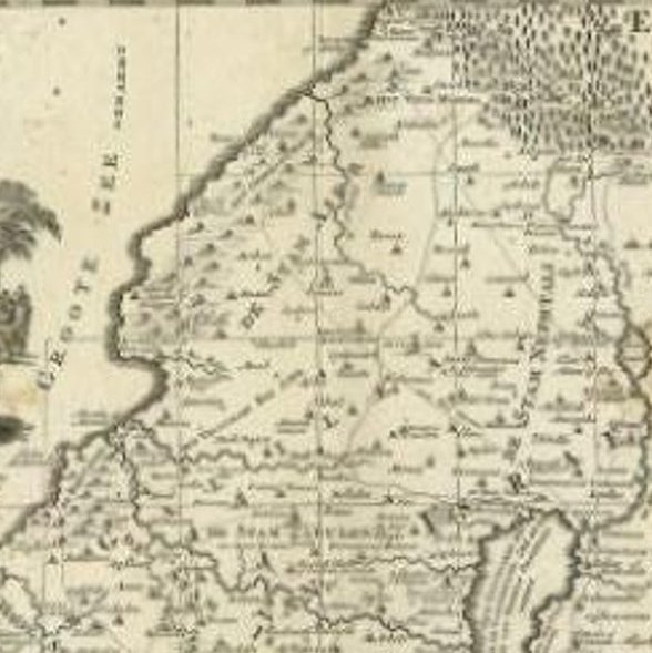
Antique map titled 'Heylige Land verdeeld in de Twaalf Stammen Israels (..).' Highly detailed map of the Holy Land divided into 12 tribes of Israel. With beautiful large title cartouche, vignette with scale and compass rose. Published in the Netherlands by Covens & Mortier c. 1720.
Artists and Engravers: Made by 'Jan van Luchtenburg' after an anonymous artist. Pieter und David Mortier were booksellers in Paris and have published a wide range of geographical works. After Pieter's death, his widow continued the business until their son Cornelius took over. Cornelius started a partnership with his brother-in-law Johannes Covens and established the famous publishing house ""Covens and Mortier"" in Amsterdam. They have re-issued Atlases of Sanson, de l'Isle, Visscher and de Wit.
Condition: Fair, given age. A few minor crinkles. Paper browned at places. Small tear bottom edge left, not affecting image. Original middle fold as issued. General age-related toning and/or occasional minor defects from handling. Please study image carefully.
Date: c.1720
Overall size: 53 x 45 cm.
Image size: 47.5 x 40 cm.
We sell original antique maps to collectors, historians, educators and interior decorators all over the world. Our collection includes a wide range of authentic antique maps from the 16th to the 20th centuries. Buying and collecting antique maps is a tradition that goes back hundreds of years. Antique maps have proved a richly rewarding investment over the past decade, thanks to a growing appreciation of their unique historical appeal. Today the decorative qualities of antique maps are widely recognized by interior designers who appreciate their beauty and design flexibility. Depending on the individual map, presentation, and context, a rare or antique map can be modern, traditional, abstract, figurative, serious or whimsical. We offer a wide range of authentic antique maps for any budget.
Explore