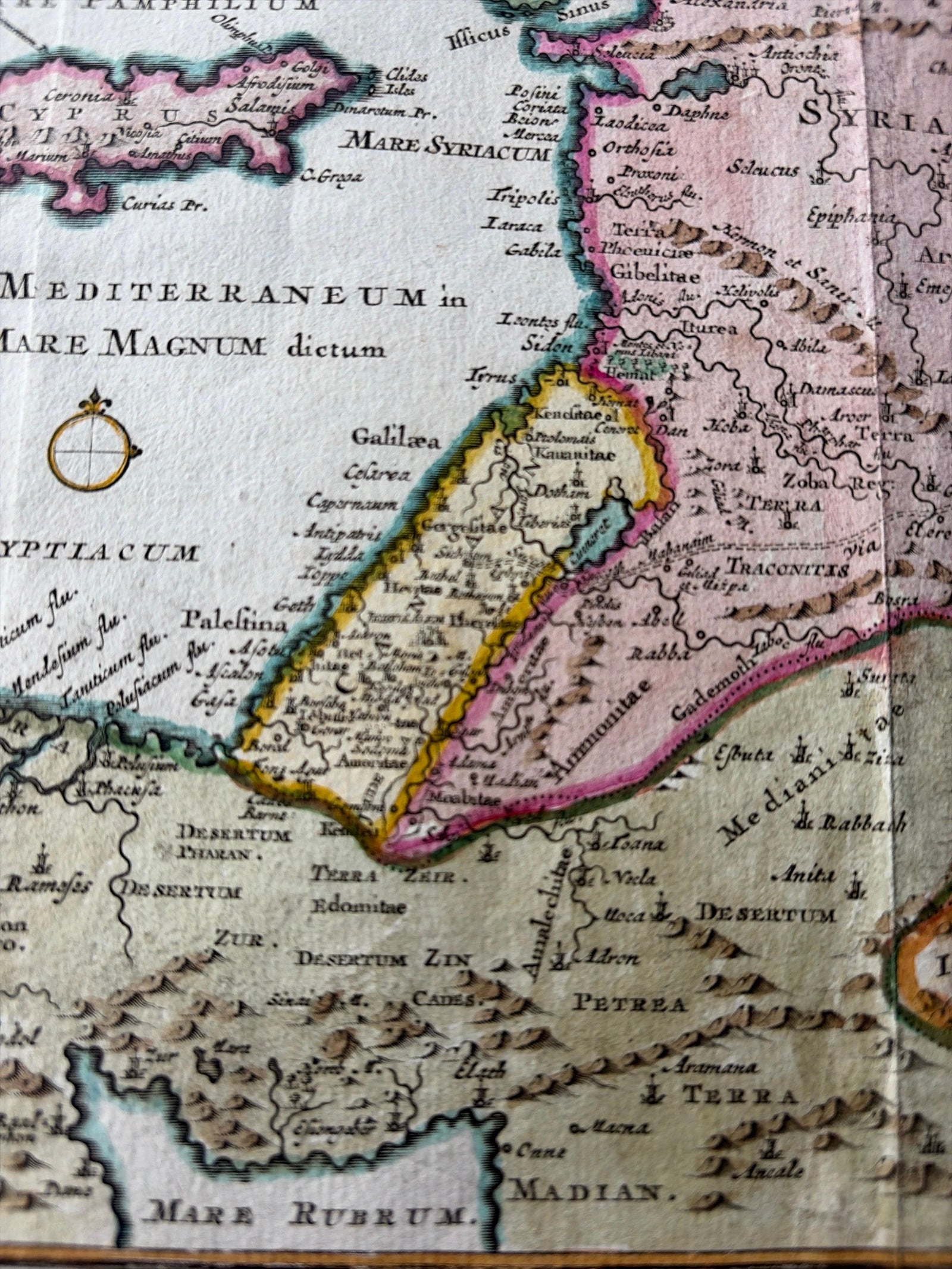
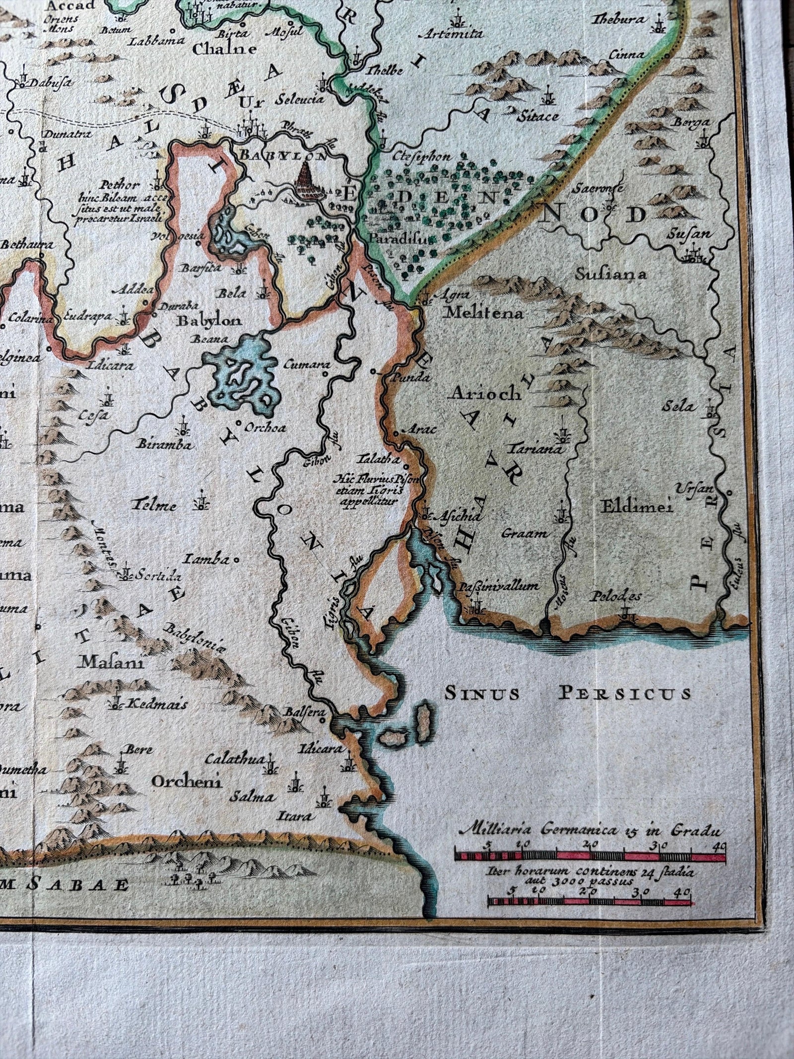
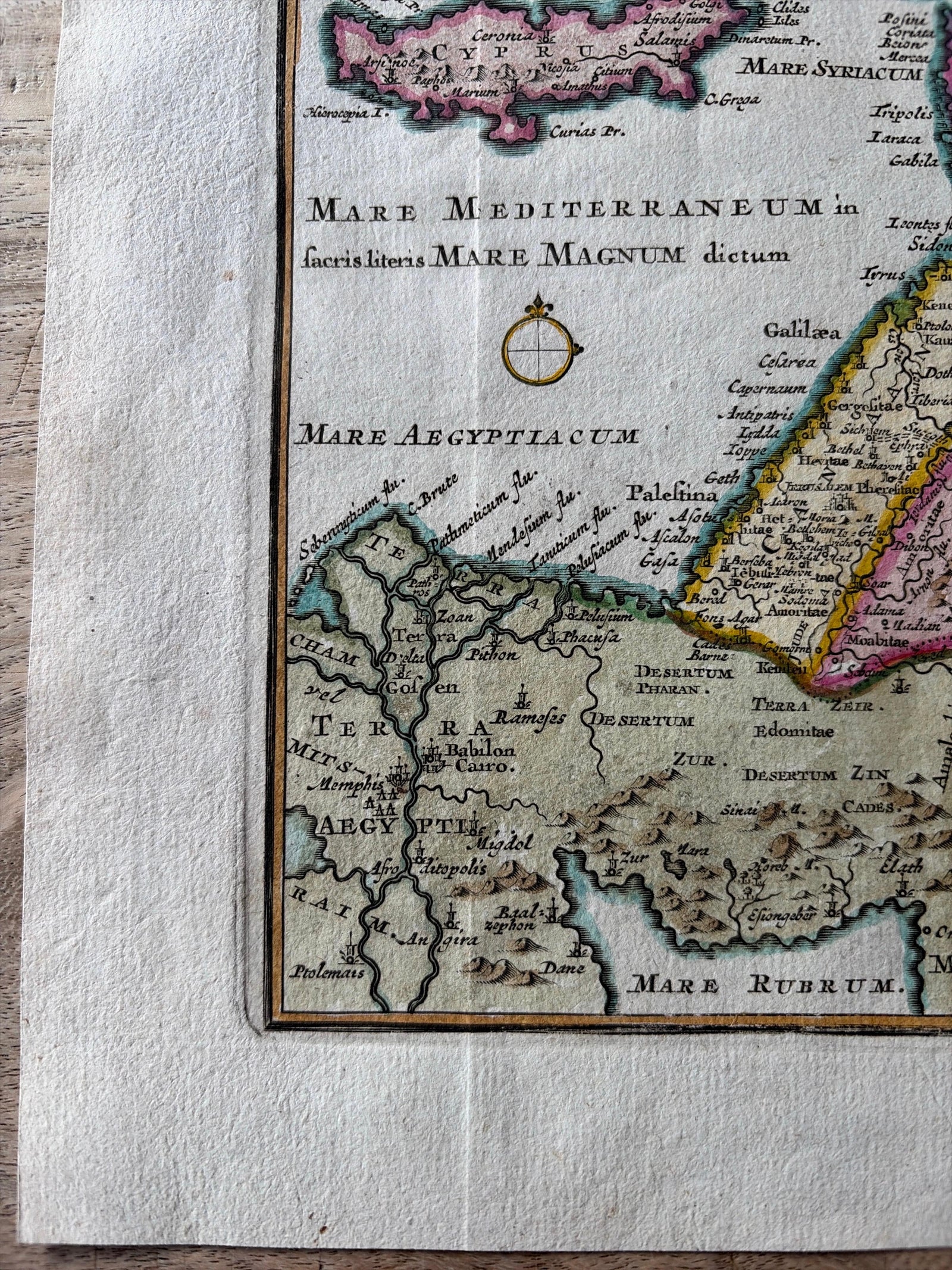
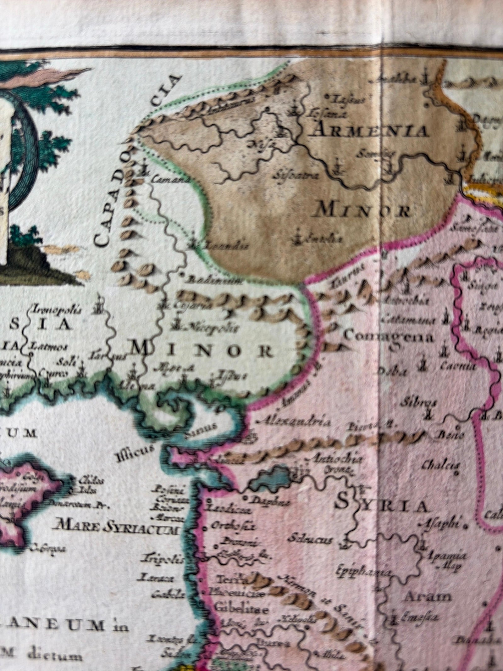
Close-ups
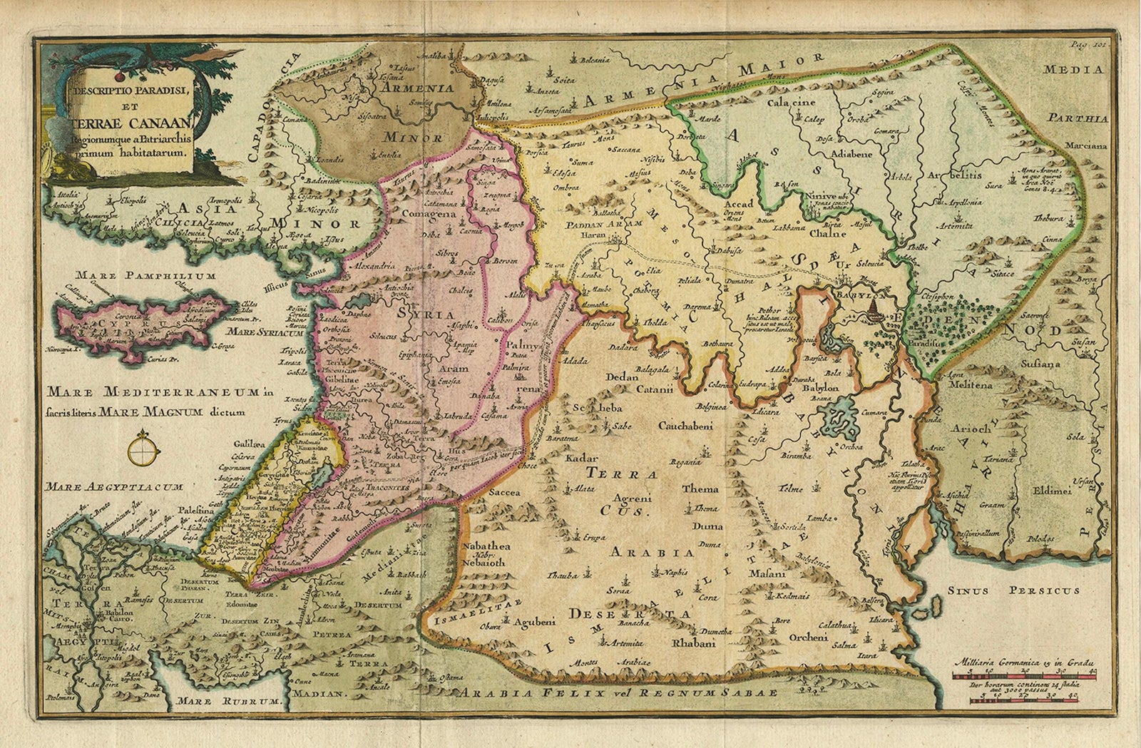
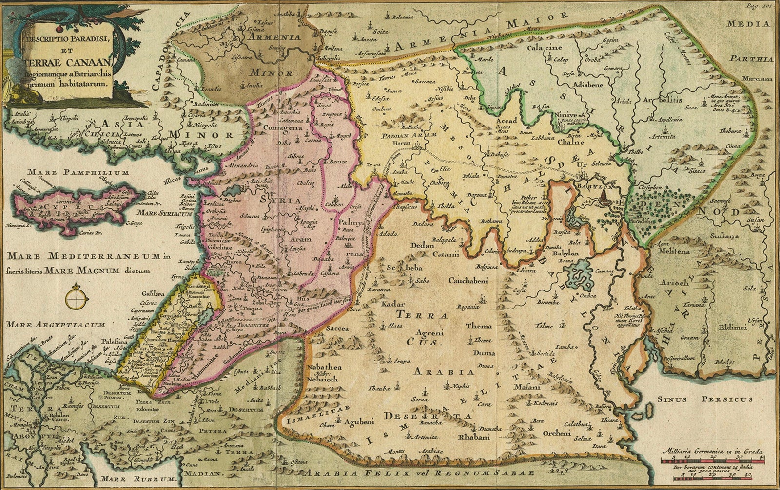
Framed and on the wall
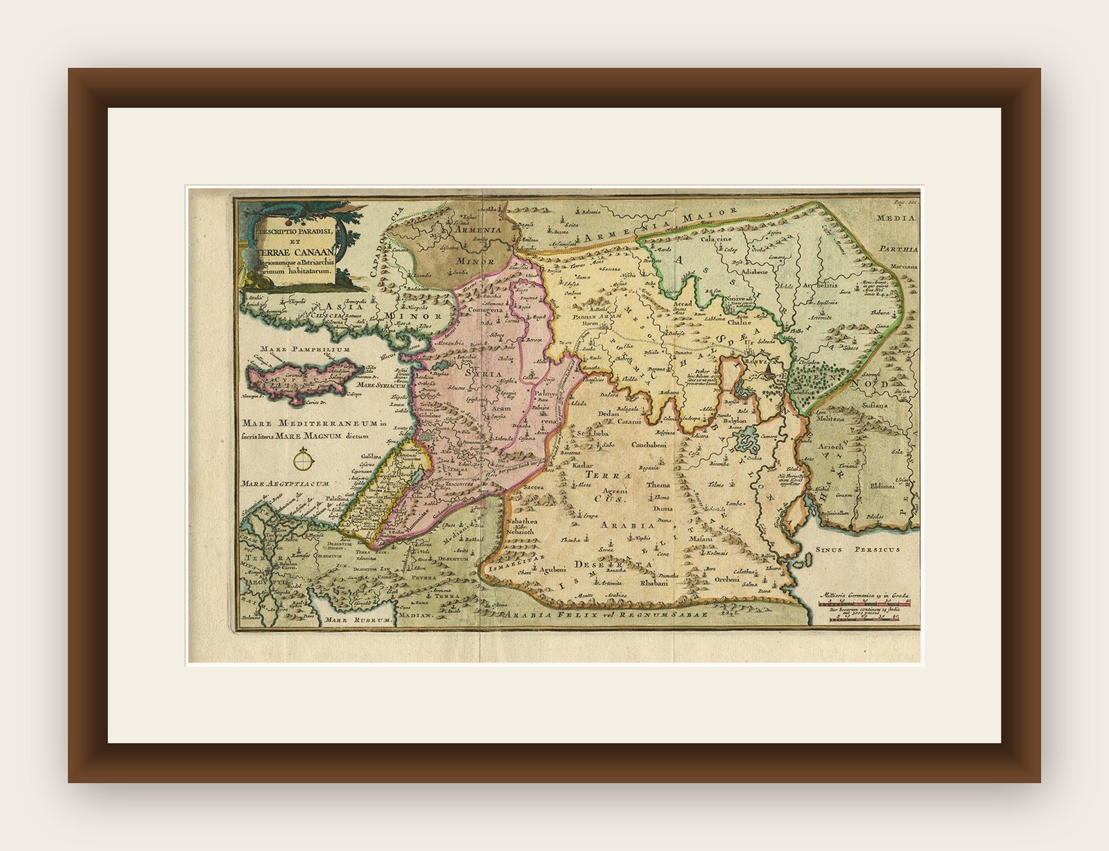

Frame and rooms are illustrations of how the print could look, drawn to its real size; it is sold unframed unless the description says otherwise.
The Holy Land
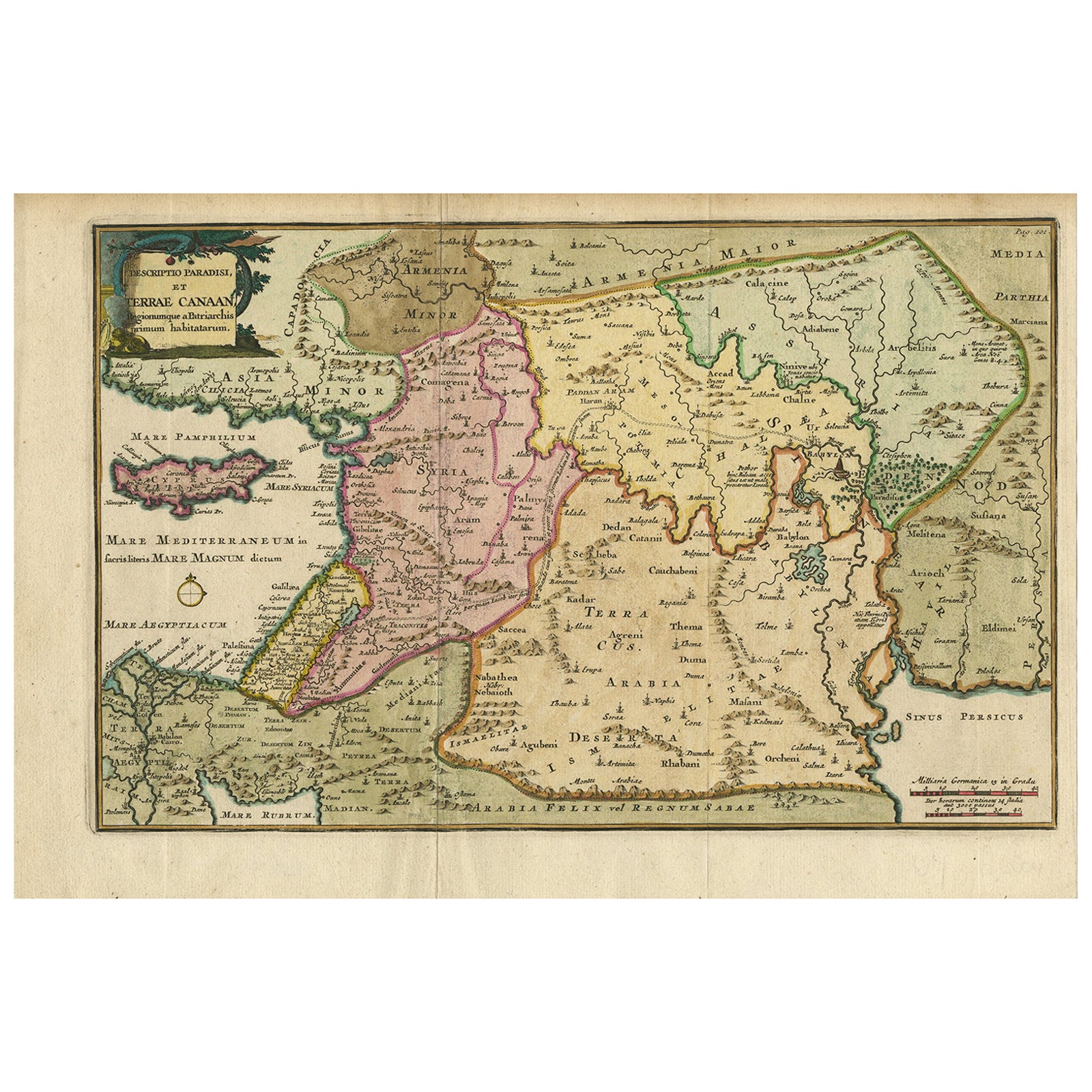
Antique Map of the Holy Land and Paradise, Terrae Canaan Map, c.1720
Anno Domini MDCCXX1720
€440
$495 · £375
Original print, not a reproduction
Ships worldwide from the Netherlands, flat, insured and tracked. 14-day returns. To buy, use Ask a question (info@antiquesacredprints.com) and we will reserve it for you.
- Date
- 1720
- Sheet size
- 9.6 × 14.4 in (24.5 × 36.6 cm)
- Condition
- Good. Good impression with later hand-coloring. Central folds as issued, minor age toning at top margin. Otherwise clean and well-preserved.
- Faith
- Christianity, Judaism
- Collection
- The Holy Land
- Era
- 1700 to 1799, Mortier, Picart and the illustrated Bible
- Stock no.
- f_47117212
Antique Map of the Holy Land and Paradise by François Halma, c.1720
Beautiful early 18th-century hand-colored map of the Middle East extending from the Mediterranean Sea to the Persian Gulf, engraved for François Halma’s Descriptio Paradisi, et Terrae Canaan Regionumque a Patriarchis primum habitatarum. The map illustrates the biblical lands of Canaan, Mesopotamia, Arabia, and Syria with remarkable detail and artistry.
The engraving highlights key locations from the Old Testament, including the Garden of Eden, placed here in present-day Iraq, near Babylon, and the journey of Abraham from Ur toward the Promised Land. The map integrates sacred geography with classical cartography, reflecting early 18th-century European scholarship’s fascination with aligning biblical narratives to real-world geography.
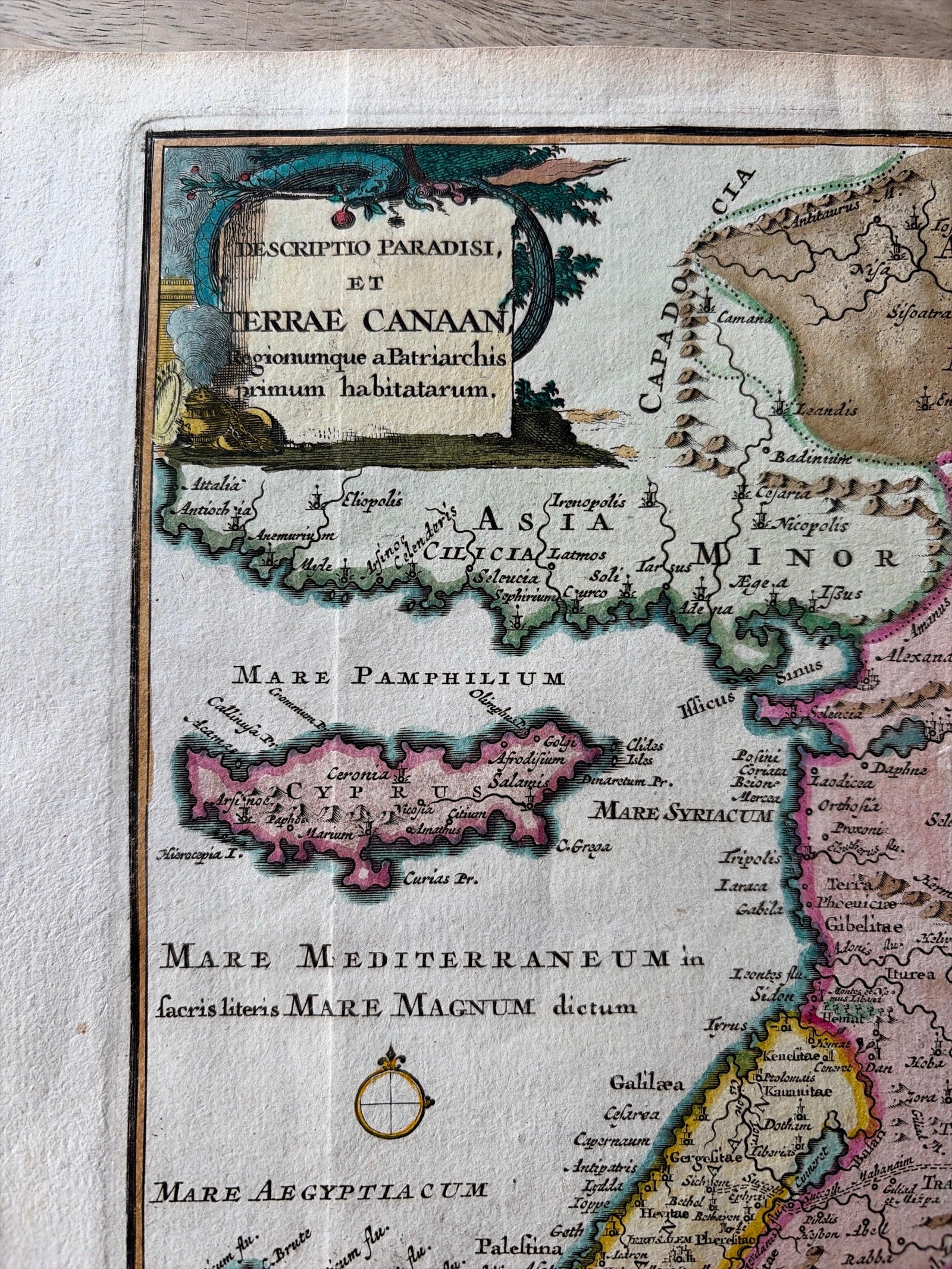
The decorative title cartouche in the upper left corner is especially notable, depicting the serpent entwined in the apple tree, symbolizing the Fall of Man in the Garden of Eden. Finely engraved rivers, mountain ranges, and coastlines enhance the clarity of this elegant design, while soft hand-coloring emphasizes regional divisions and ancient place names.
François Halma (1653 to 1722), a Dutch publisher and bookseller based in Utrecht, Franeker, and later Leeuwarden, was known for producing high-quality atlases and theological works. His maps often combined religious and historical content, intended both for study and display.
A particularly attractive and evocative example of early 18th-century sacred cartography, merging faith, myth, and geography across the ancient world, from the shores of the Mediterranean to the plains of Mesopotamia.
Condition:
Good impression with later hand-coloring. Central folds as issued, minor age toning at top margin. Otherwise clean and well-preserved.
Framing tips:
Best presented in a gold or light oak frame with a cream or parchment-toned mat to enhance the warm colors and antique texture of the paper.
Technique: Hand-colored copperplate engraving on laid paper
Maker: François Halma, Netherlands, circa 1720
Explore